Long Prairie Aerial Photos
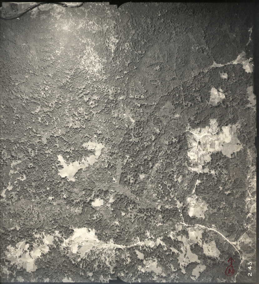 Long Tom Creek 245 | ||||
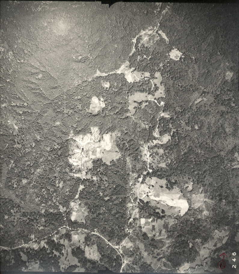 Sam Creek Road 246 | 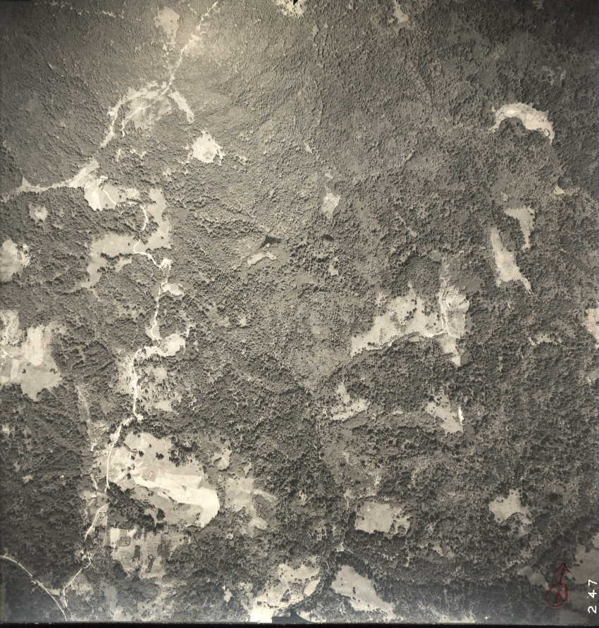 Twin Lakes 247 | |||
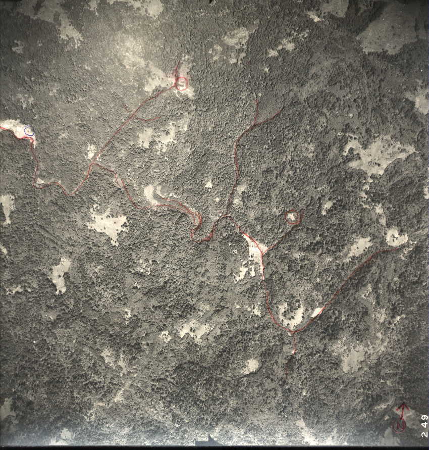 Sam Creek 249 | 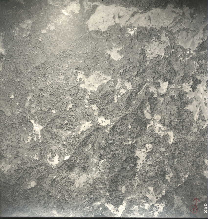 Sam Creek 250 | 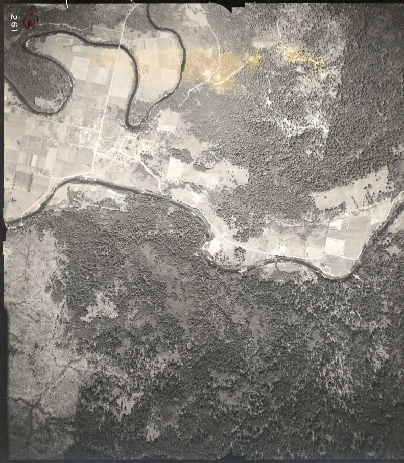 Government Hill 261 | ||
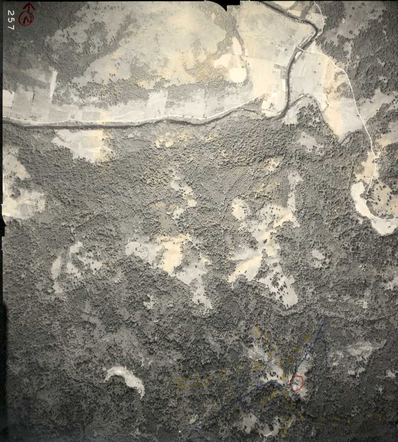 Logsden 257 | 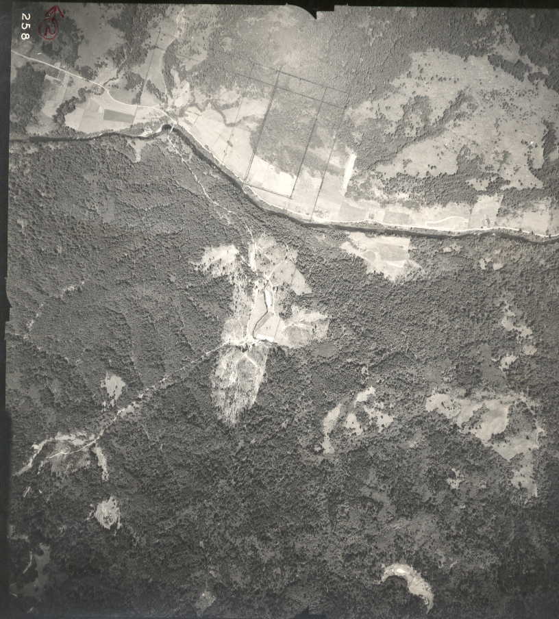 Orton 258 | 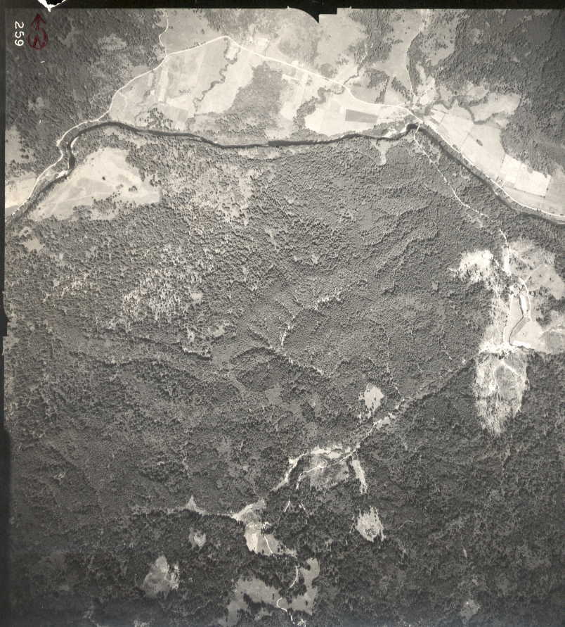 Twin Bridges 259 |
Return to the 1939 Aerial Photos Page. | PEAS Website |
Long Tom Creek 245 | ||||
Sam Creek Road 246 | Twin Lakes 247 | |||
Sam Creek 249 | Sam Creek 250 | Government Hill 261 | ||
Logsden 257 | Orton 258 | Twin Bridges 259 |
Return to the 1939 Aerial Photos Page. | PEAS Website |