1939 Yaquina River Aerial Photos
Airport 307
Boone Island 302
Coquill Pt 200
Eddyville 191
Eddyville 192
Eddyville 215
Eddyville 219
Eddyville 220
Eddyville 222
Eddyville 223
Eddyville 225
Eddyville 226
Eddyville 287
Eddyville 288
King Slough 304
Newport 202
Newport 205
Newport 206
South Beach 305
Toledo 197
Toledo 198
Yaquina Head 234
Yaquina Head 235
The following aerials show the drainage boundary separating the Siletz and Yaquina rivers.
Camp12 Log 243
Camp12 Log 244
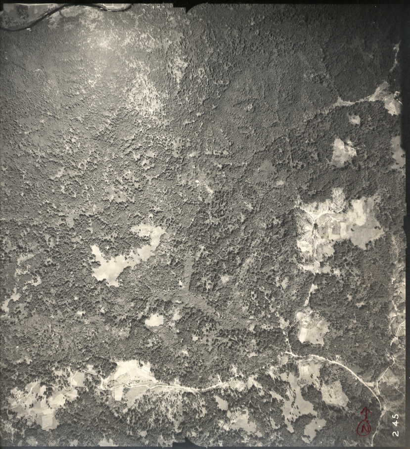
Long Tom Creek 245
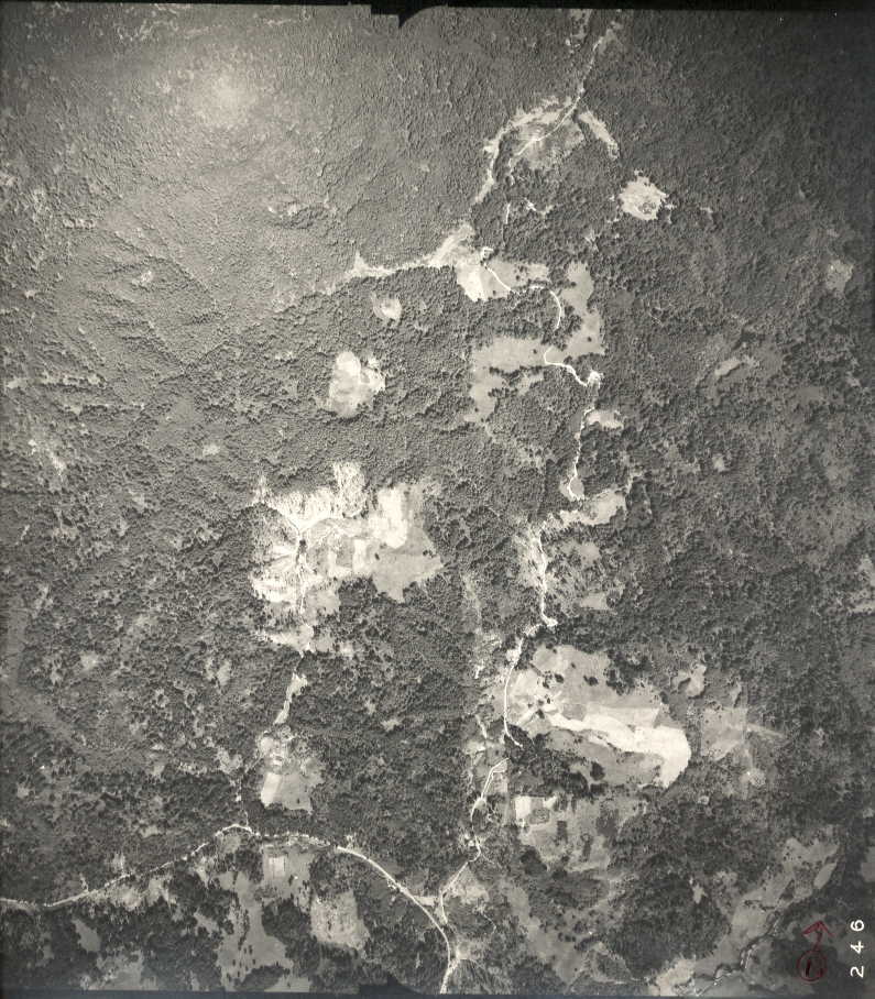
Sam Cr Rd 246
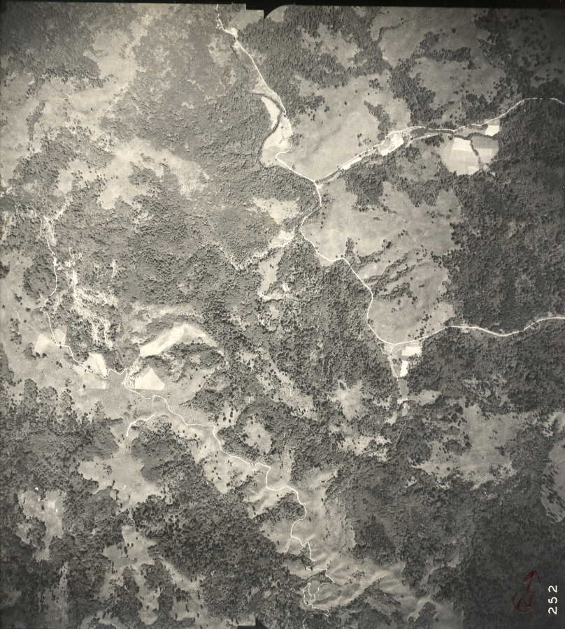
Steere Cr 252
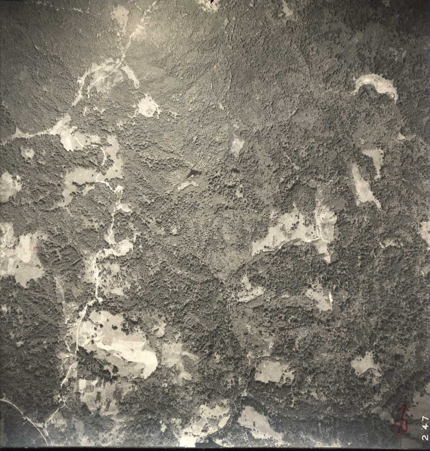
Twin Lakes 247
Suggestions, Comments, or Problems concerning this Page? Please contact the
PageMaster
This page was last updated on August 10, 1998
© Copyright - Oregon Websites & Watershed Project, Inc. &
NW Maps Co.
Page design by
WebEdit