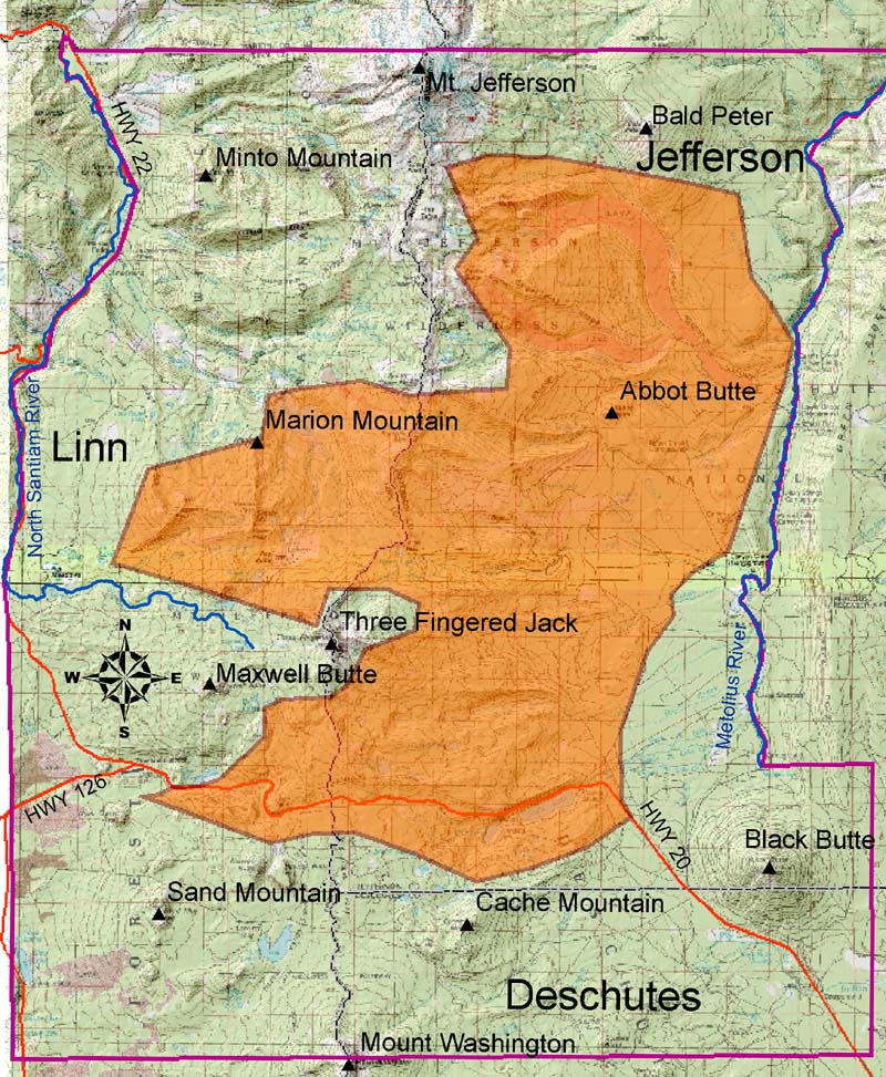
B&B Complex
Roads and Trails
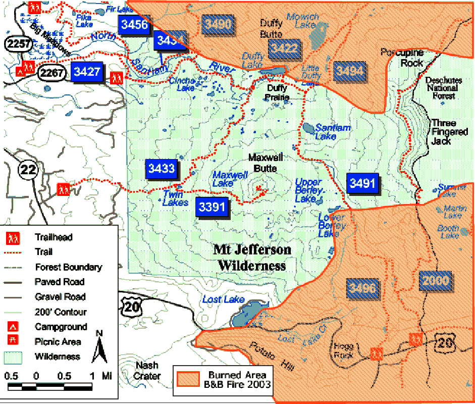
![]()
US Forest Service recreational trail network in the Maxwell Butte area, following the B&B Fires (map retrieved from USDA Willamette NF website in September, 2004: www. )
|
icon
|
Filename
|
Reference
|
Description
|
 |
Duffy_Trail | USDA Willamette NF | Horse and hiking trail along North Santiam River, from Big Meadows to Duffy Butte, Duffy Lake and Duffy Prairie |
 |
Highway_20 | Zybach & Lapham 2004 | |
|
|
Highway_22 | Zybach & Lapham 2004 | |
| Hogg_Railroad_Grade | |||
| Jack_Lake_Road | |||
| Klamath_Indian_Trail | |||
|
|
Maxwell_Butte_Trail | USDA Willamette NF | |
| Minto_Pass_Trail | |||
| Molalla_Indian_Trail | |||
| Pacific_Crest_Trail | |||
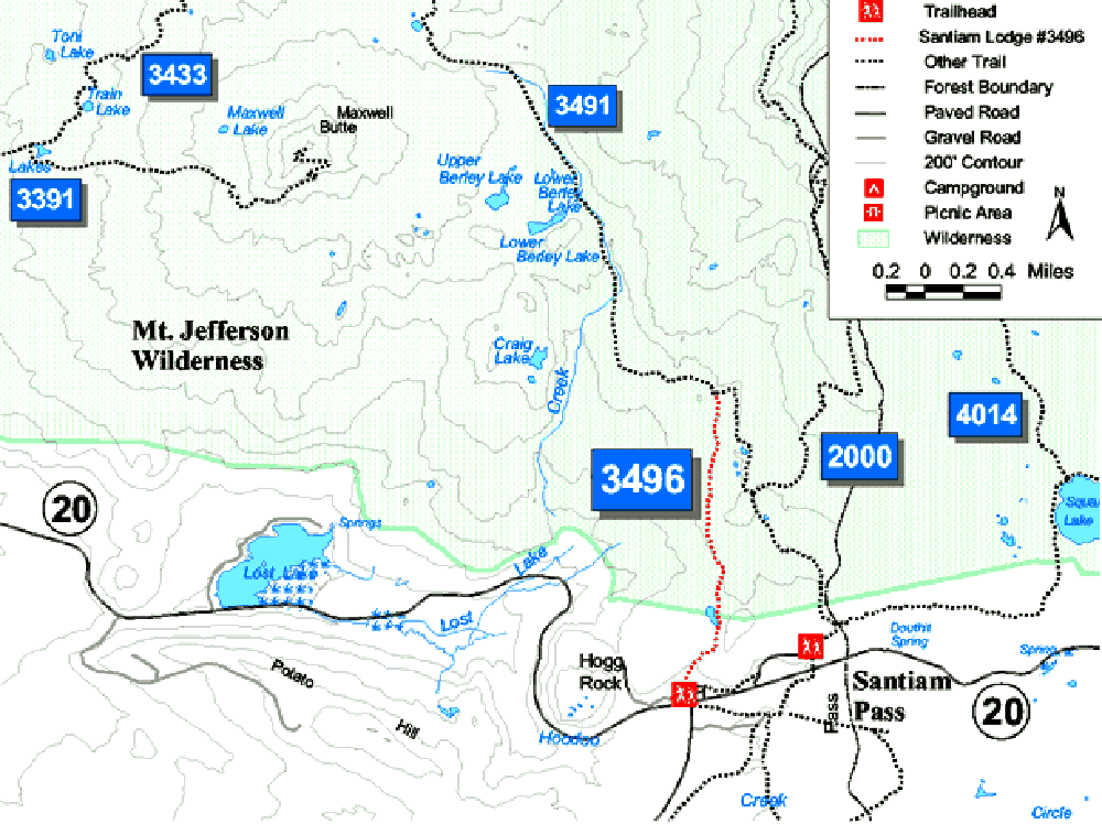 |
Santiam_Lodge_Trail | USDA Willamette NF | |
|
|
Santiam_Pass_Trail | USDA Willamette NF | |
| Santiam_Wagon_Road |
![]()
©2004 Oregon Websites and Watersheds Project, Inc. and NW Maps Co.