Jerry Phillips: Historical Photographs
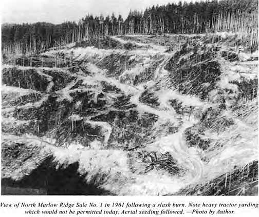
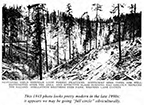
1961 photograph of North Marlow Ridge old-growth clearcut by Jerry Phillips. The 1962 Columbus Day Storm blew down 100 million board feet of young 70-year old second-growth, causing a major change in philosophy and direction of managing the Elliott State Forest.
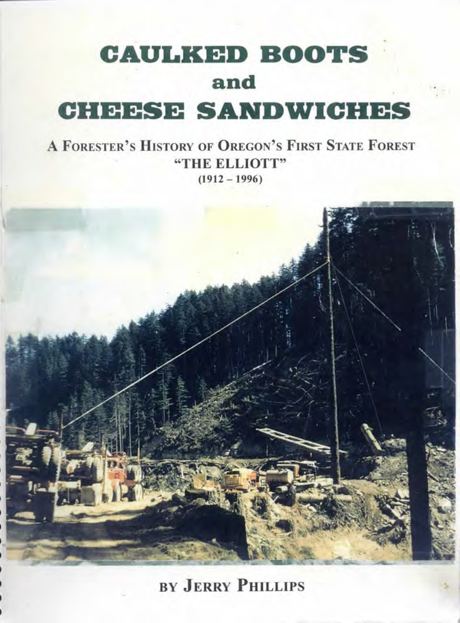
The following historical photographs of the Elliott State Forest cover the years 1917 to 1996 and were primarily selected from Phillips' 1996 history of the Elliott, Caulked Boots and Cheese Sandwiches. This is a relatively small fraction of the book's photos, but are focused on key historical events and locations in the Forest preceding the 1962 Columbus Day Storm event.
 |
 |
 |
 |
 |
| North Marlow Ridge Logging, 1959 (Phillips 1998: Cover) |
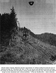
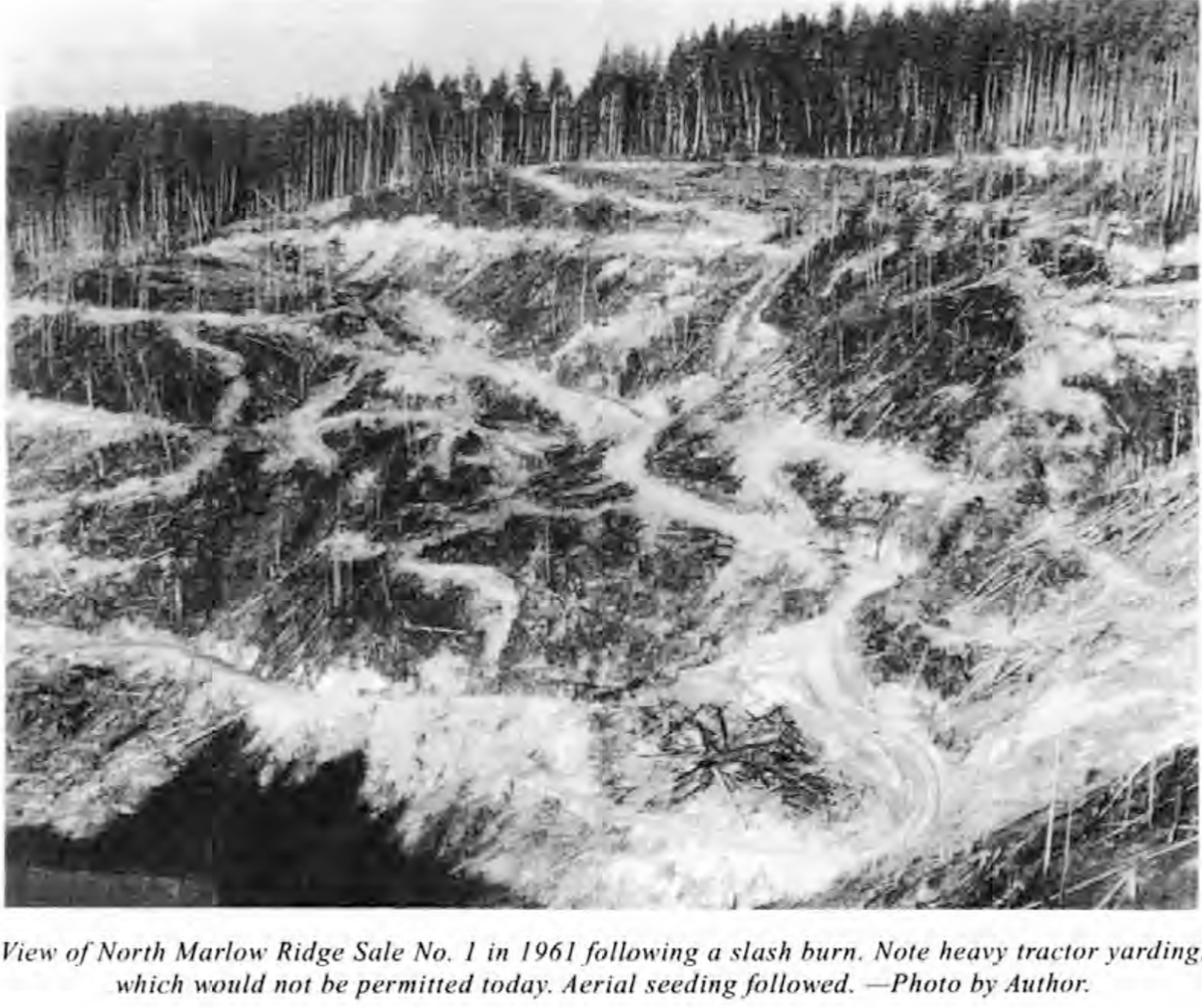
North Marlow Ridge Clearcut, 1961 (Phillips 1998: 194) |
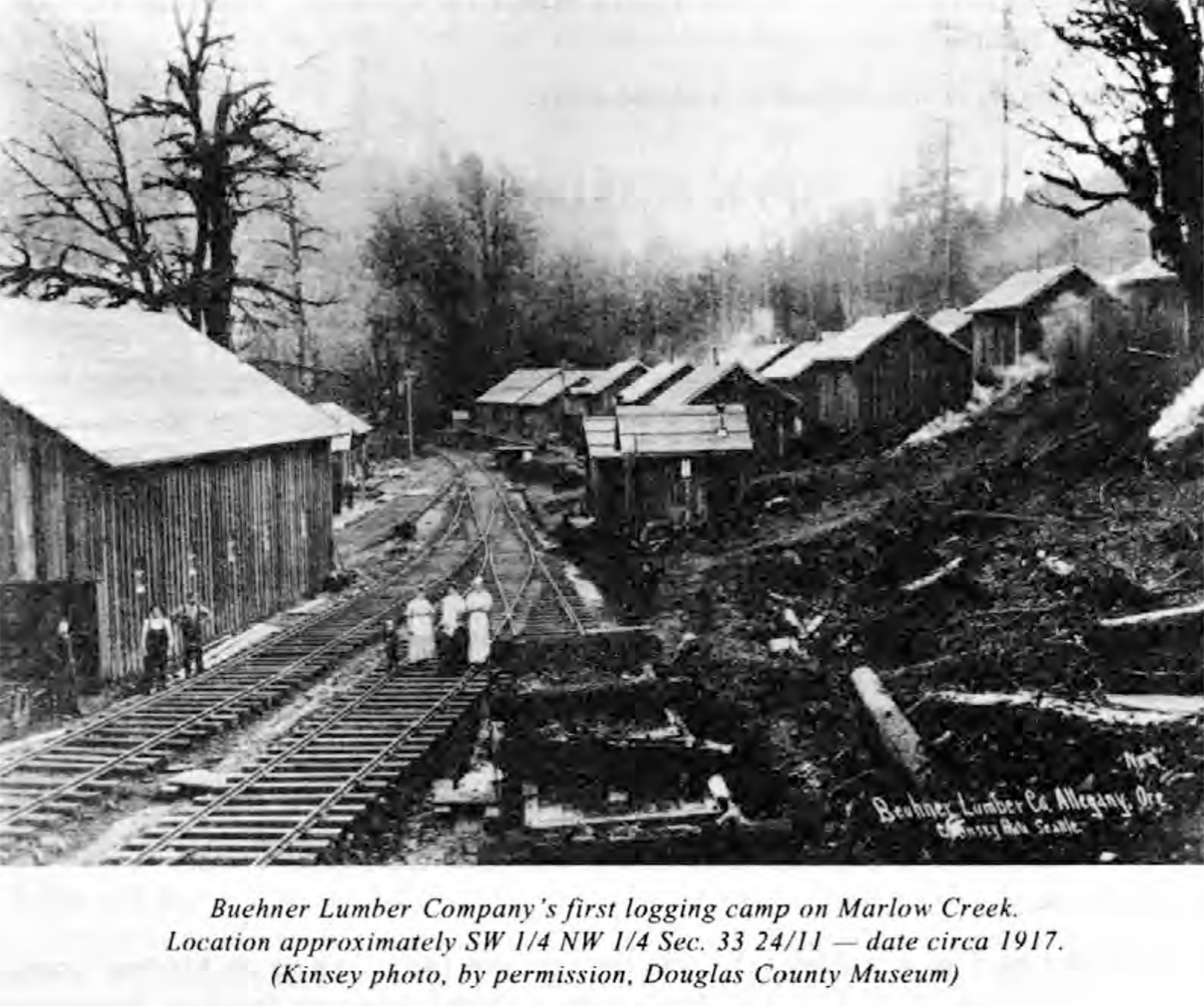
Buehner RR Logging Camp, ca. 1915 (Phillips 1998: 390) |
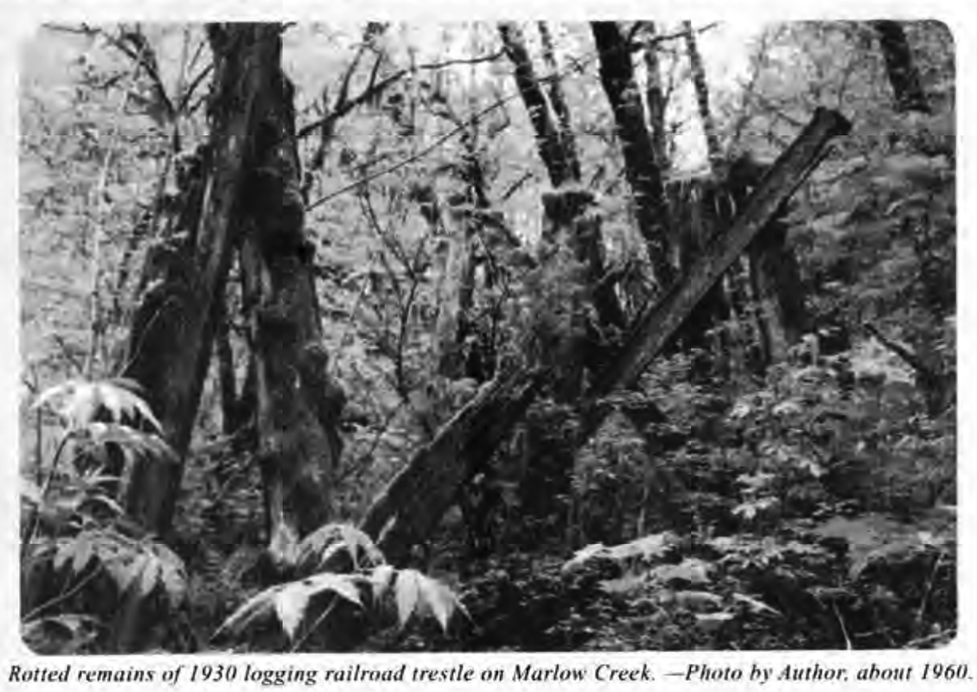
Marlow Creek RR Trestle, ca. 1960 (Phillips 1998: 14) |
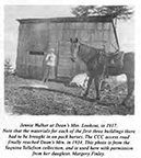
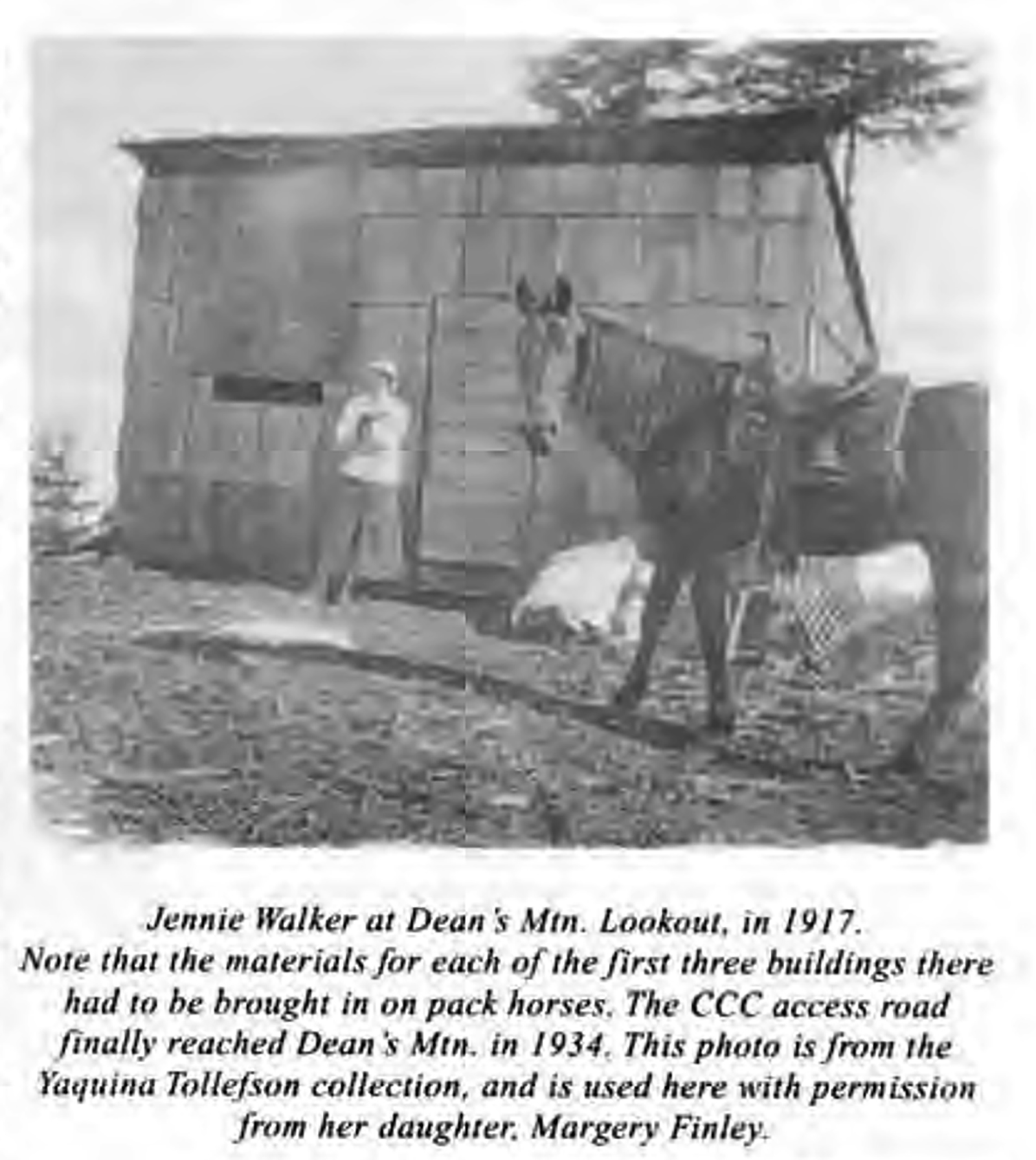
Deans Mountain Lookout, 1917 (Phillips 1998: 83) |
 |
 |
 |
 |
 |
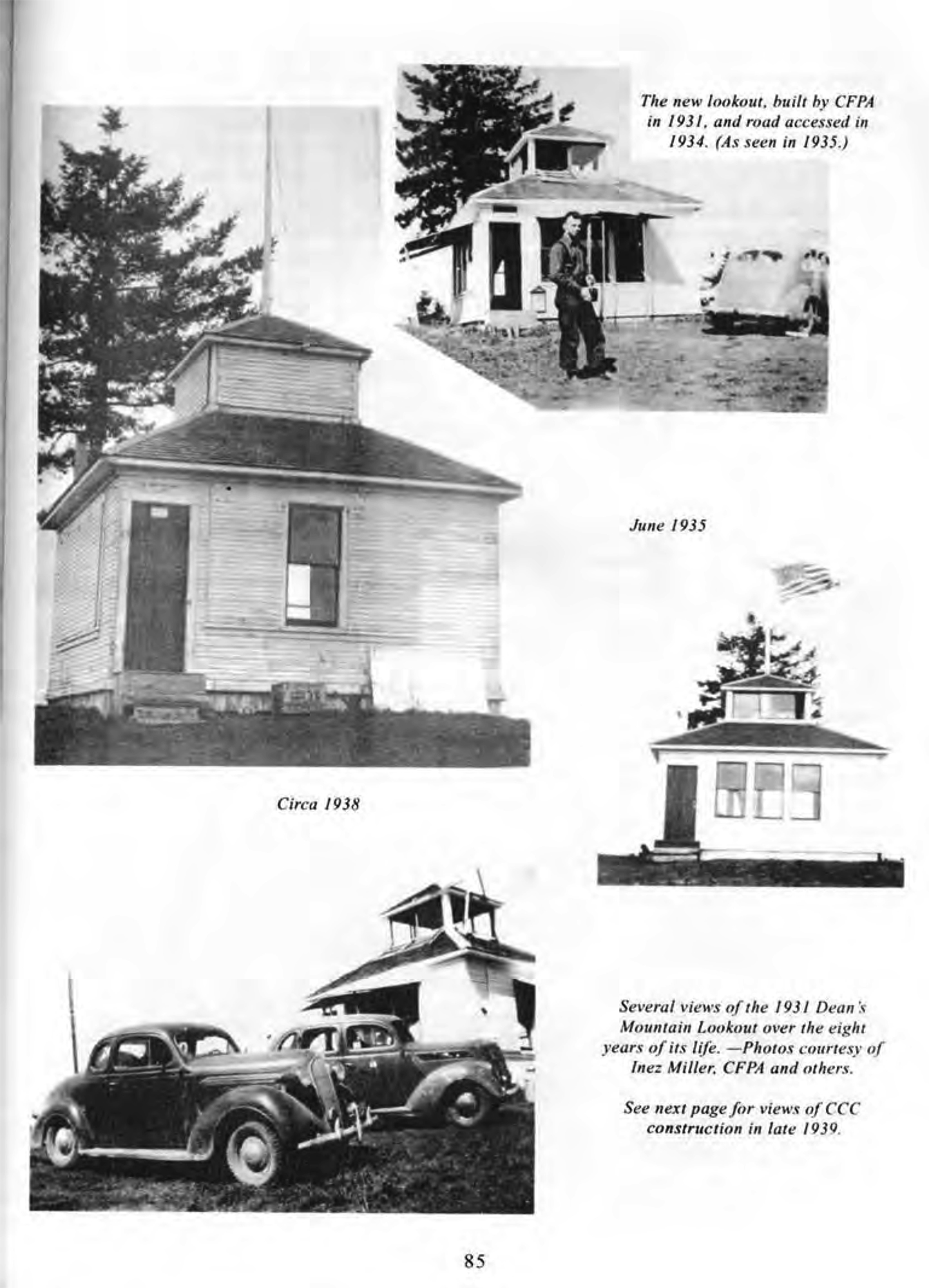
| Deans Mountain Lookout, 1931-1938 (Phillips 1998: 85) |
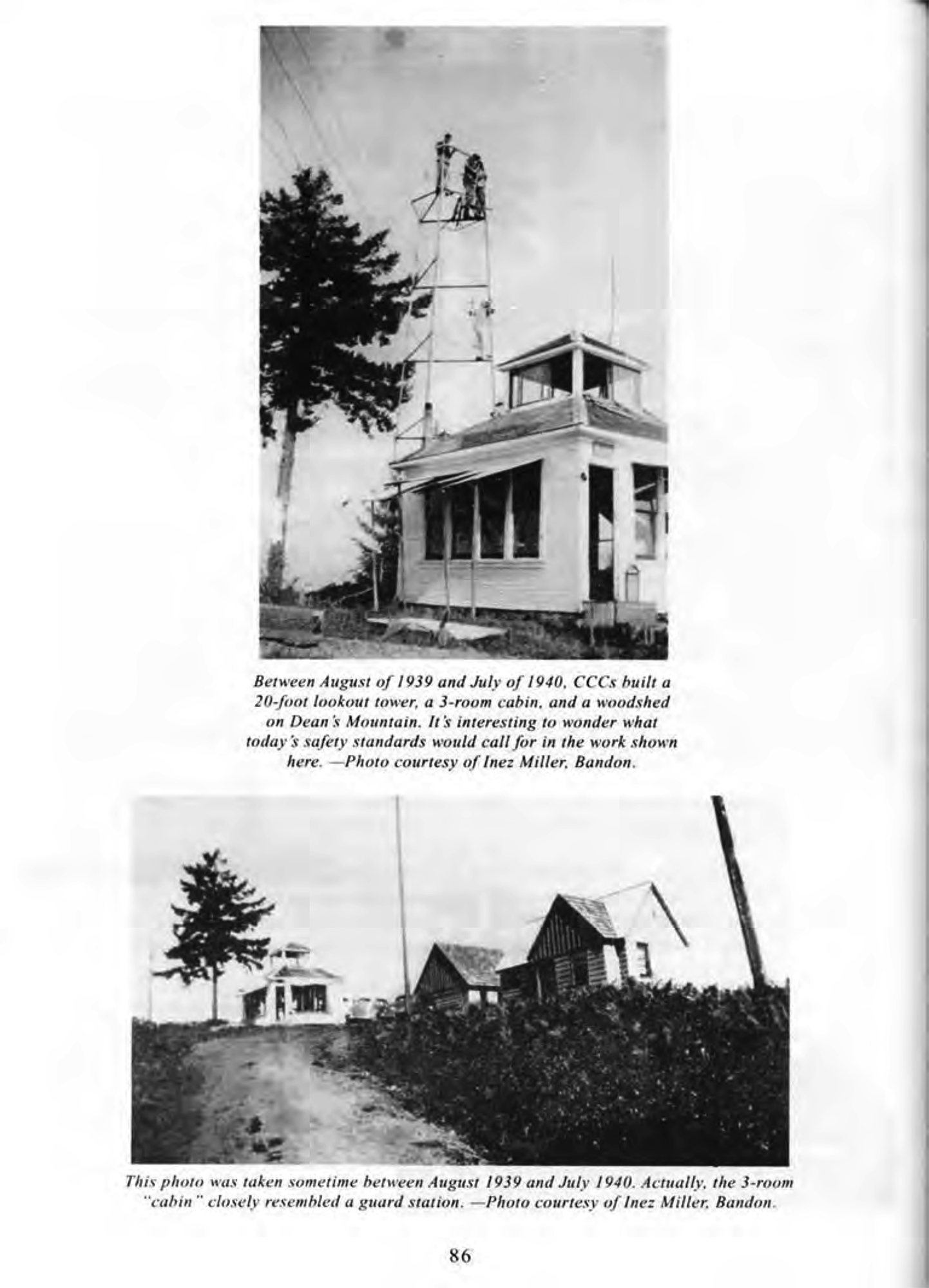
CCC Deans Mountain Lookout, 1939-1940 (Phillips 1998: 86) |
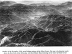
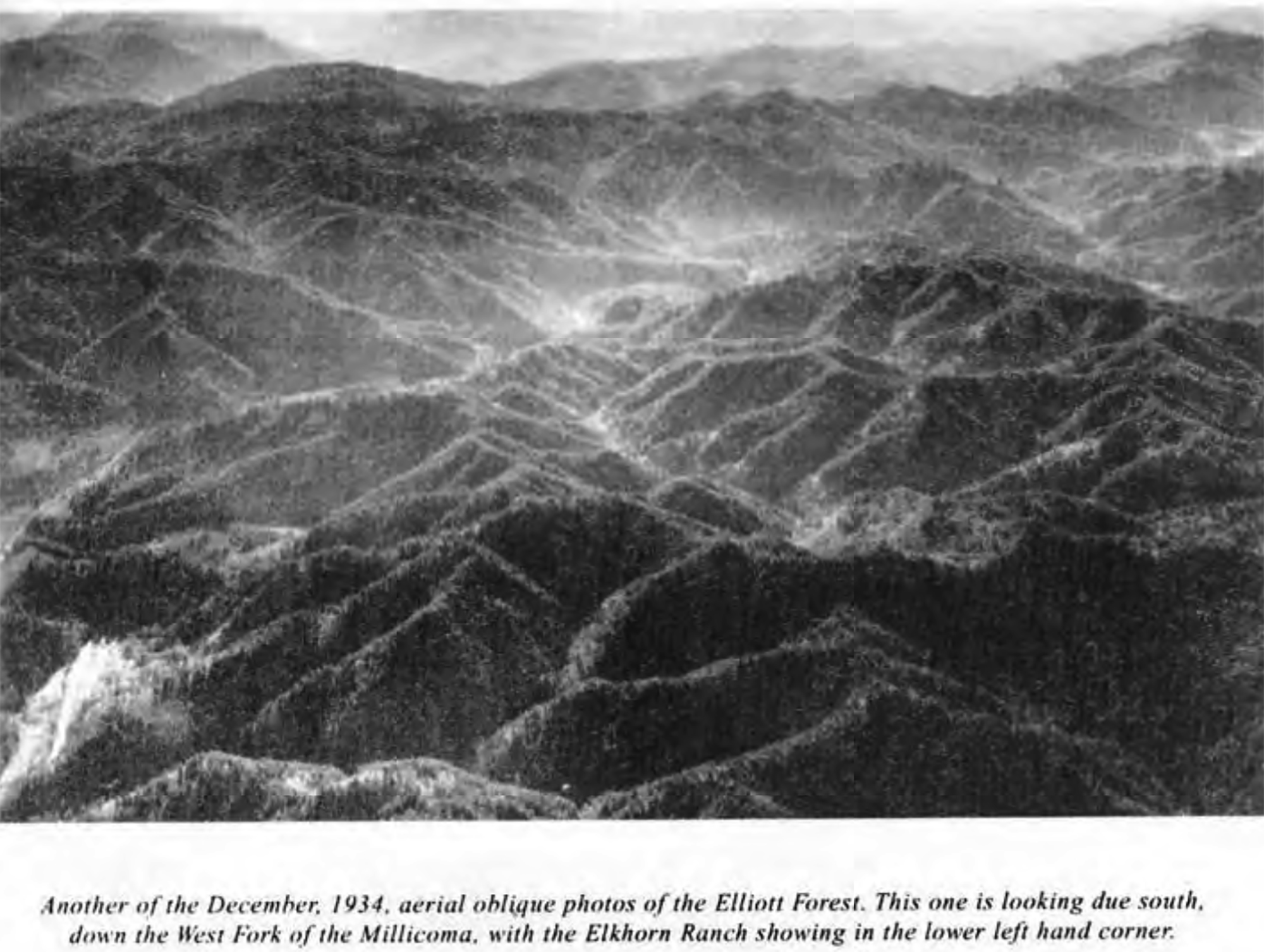
Elliott Forest, 1934 (Phillips 1998: 225) |
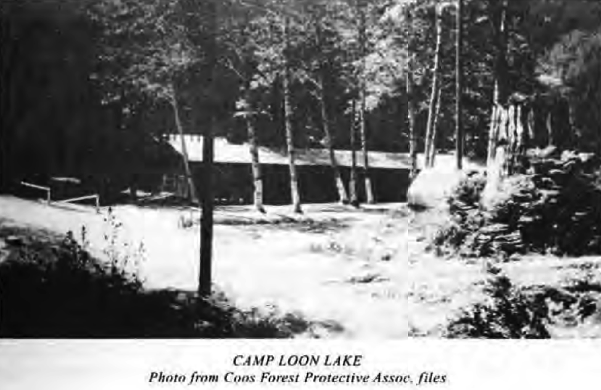
CCC Camp Loon Lake, ca. 1933 (Phillips 1998: 27) |
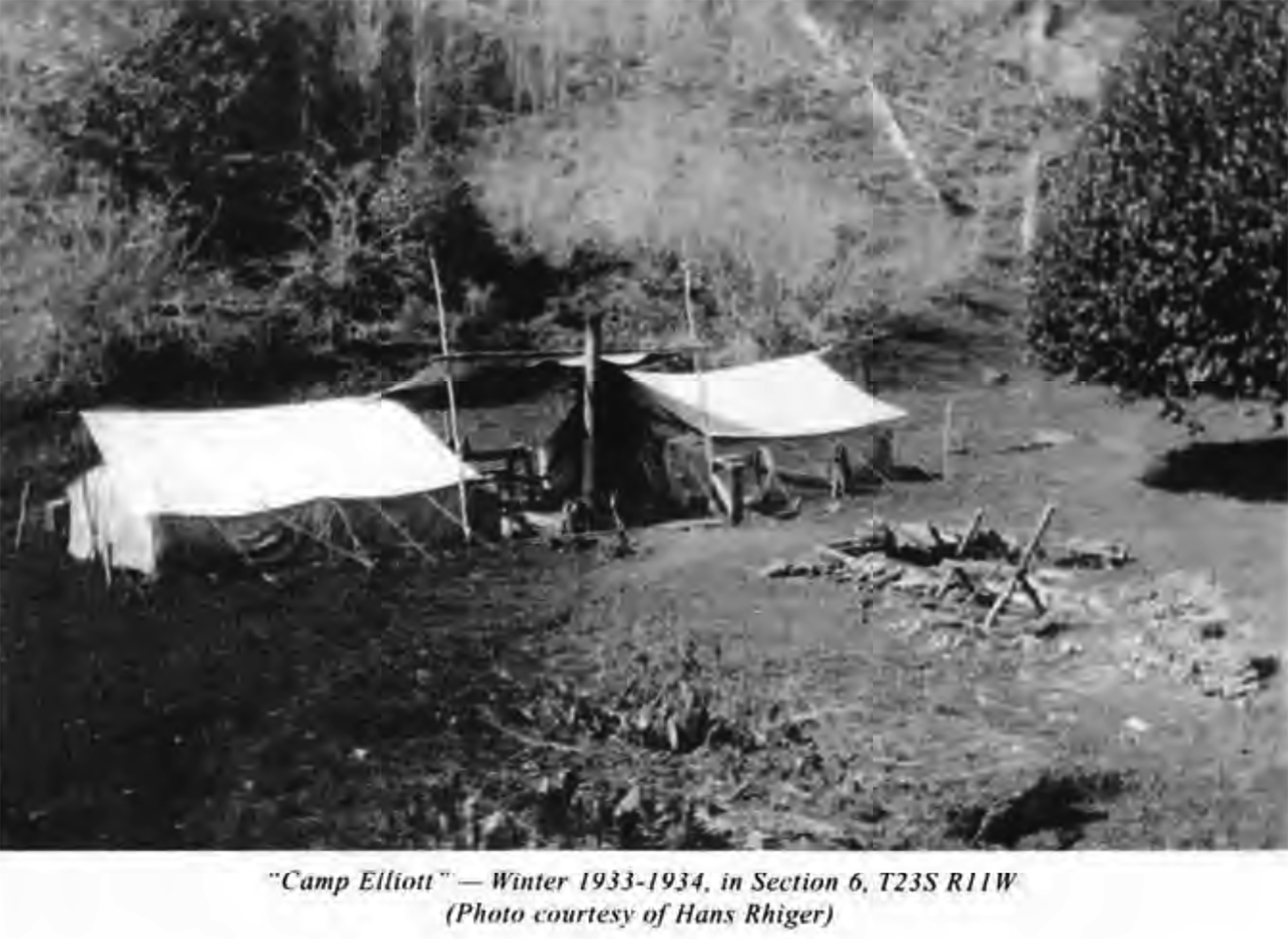
CCC Camp Elliott, 1933-1934 (Phillips 1998: 45) |
 |
 |
 |
 |
 |
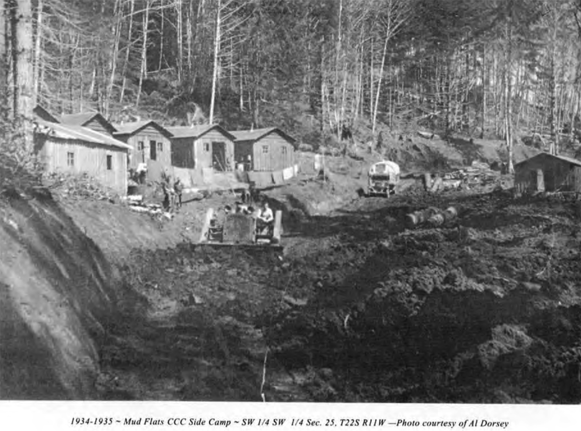
| CCC Mud Flat Side Camp, 1934-1935 (Phillips 1998: 59) |
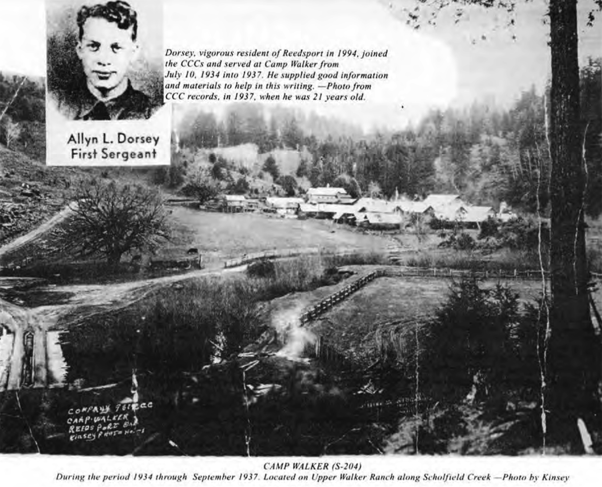
CCC Camp Walker, 1935-1937 (Phillips 1998: 33) |
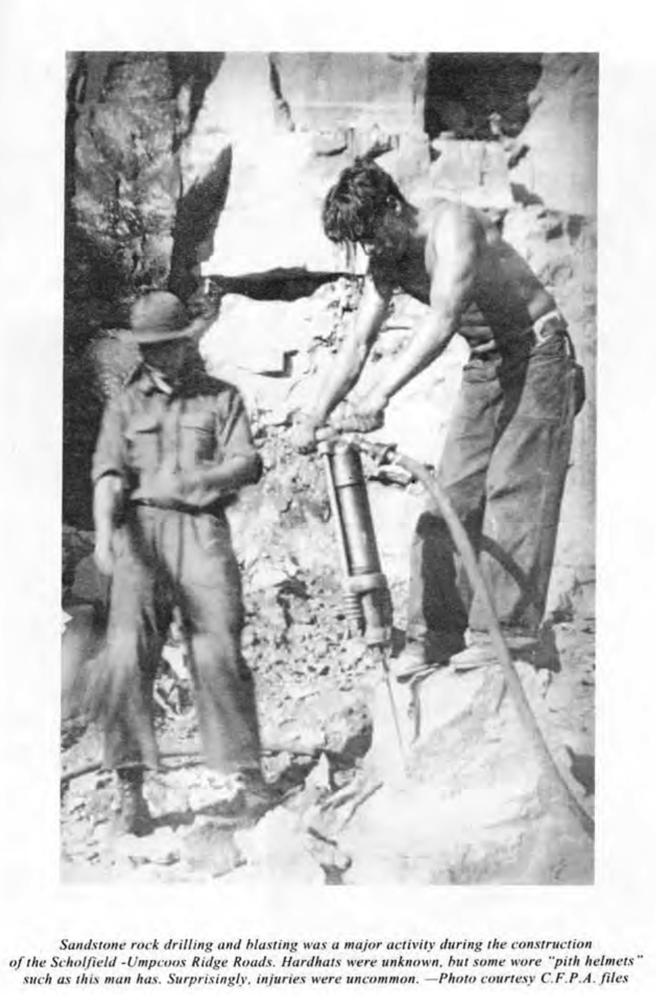
CCC Road Builders, ca. 1935 (Phillips 1998: 55) |
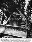
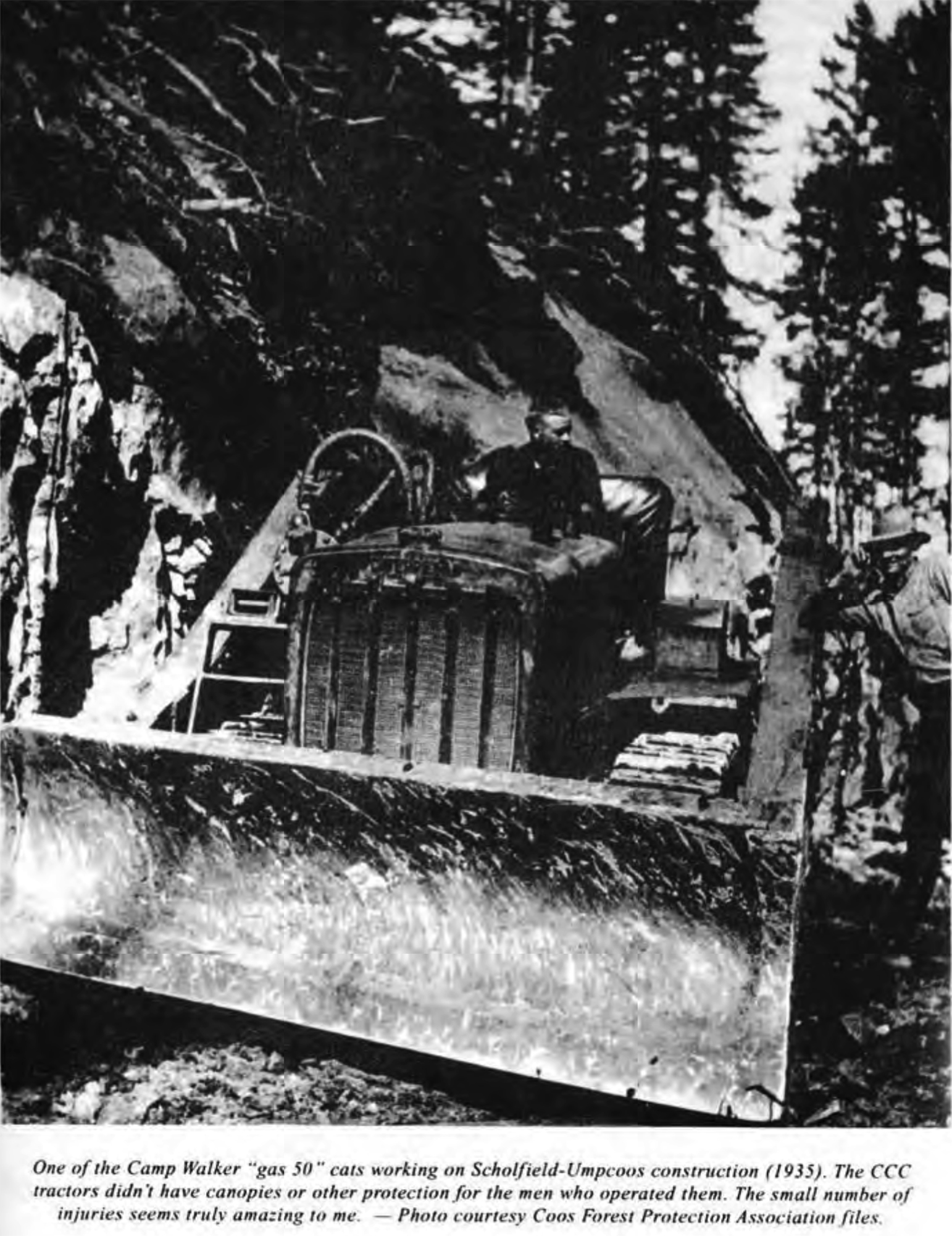
CCC "Gas 50" Roadbuilding Cat, 1935 (Phillips 1998: 61) |
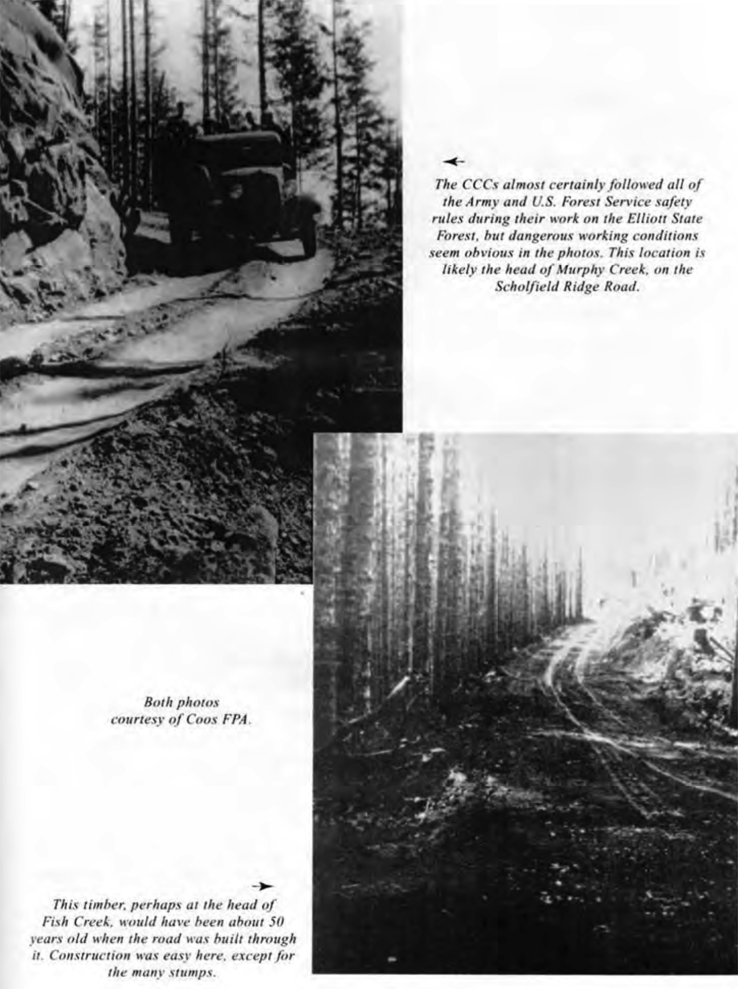
CCC Roads, ca. 1935 (Phillips 1998: 57) |
 |
 |
 |
 |
 |
| CCC Orbie Hoffman/Goulds Lake, ca. 1938 (Phillips Collection) |
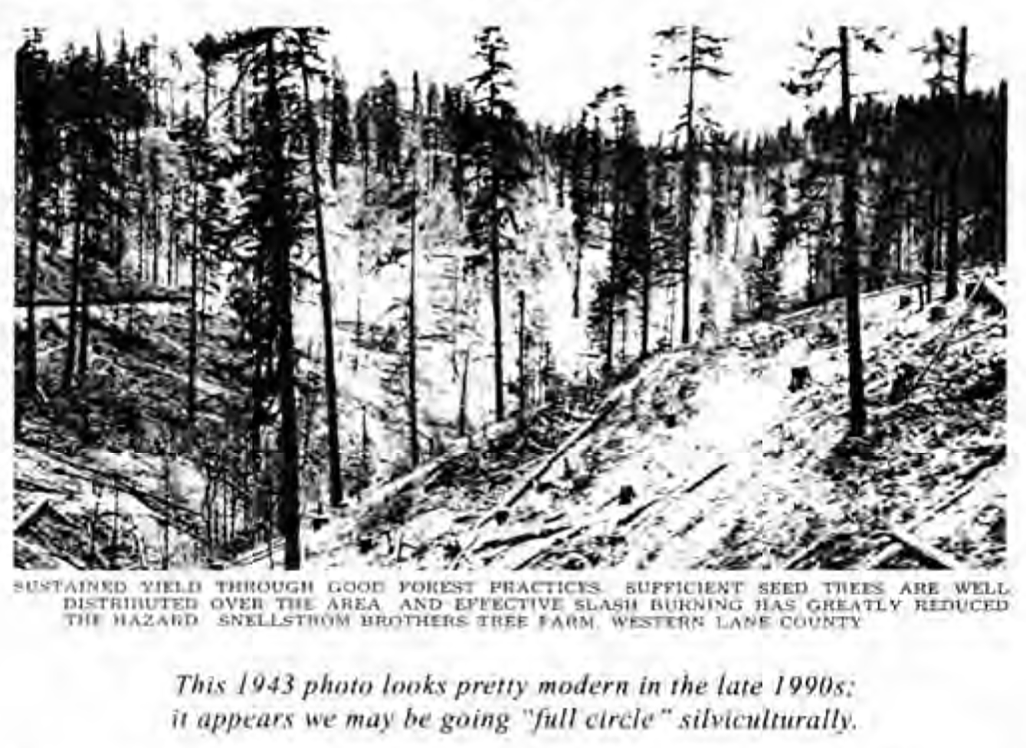
Lane County Forest Management, 1943 (Phillips 1998: 129) |
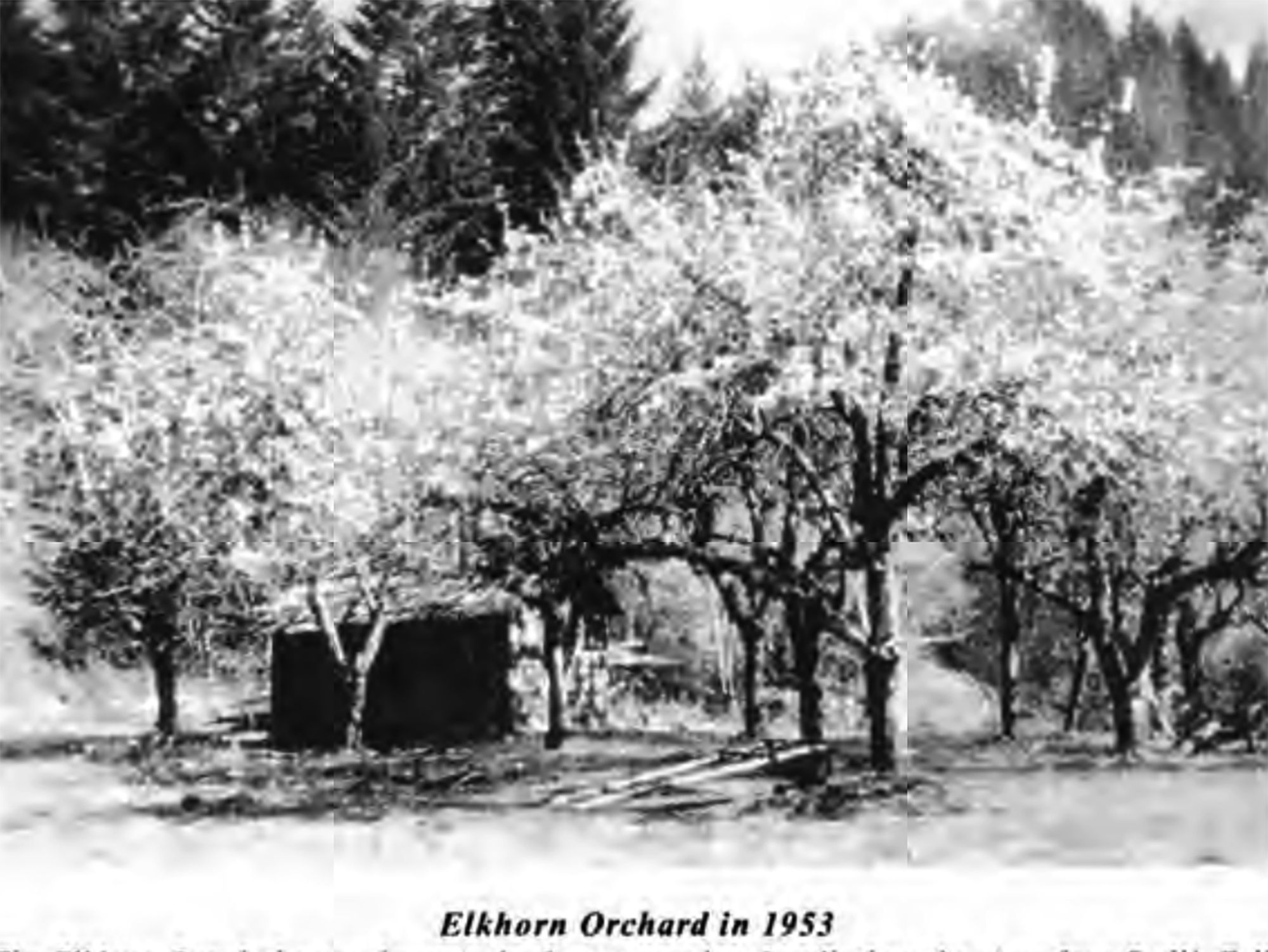
Elkhorn Orchard, 1953 (Phillips 1998: 145) |
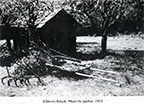
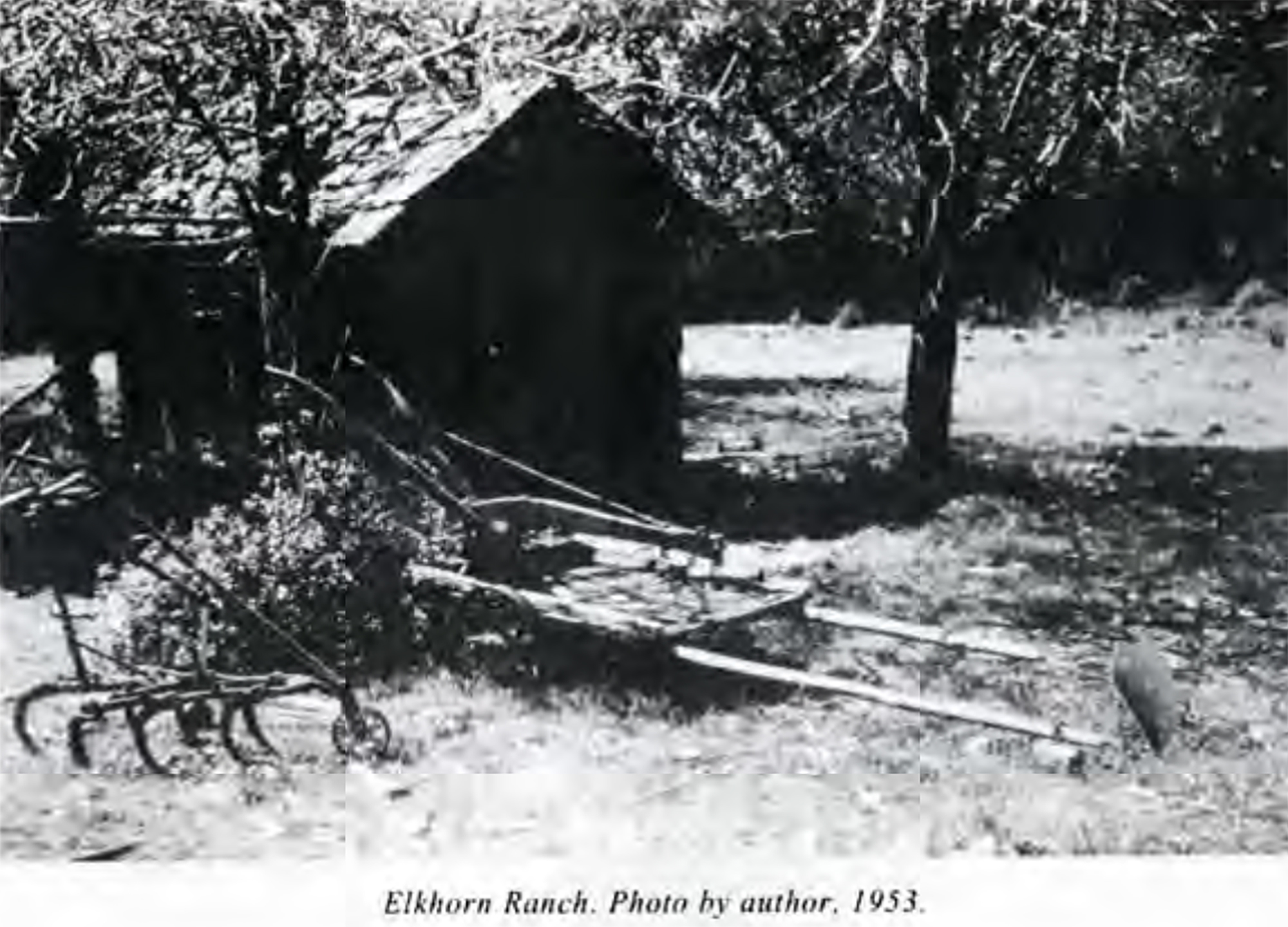
Elkhorn Ranch, 1953 (Phillips 1998: 385) |
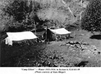
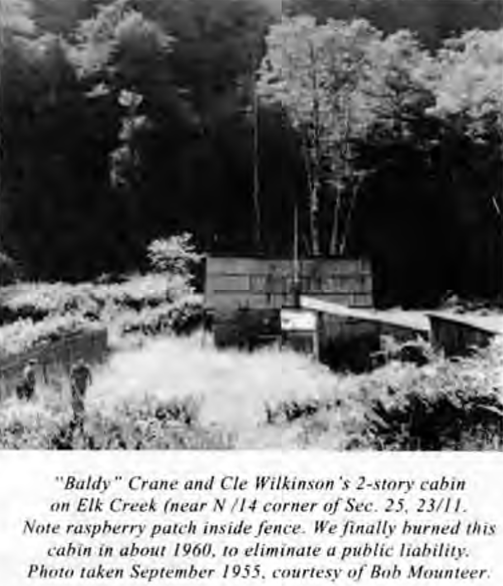
Baltimore "Baldy" Crane Cabin, 1955 (Phillips 1998: 386) |
 |
 |
 |
 |
 |
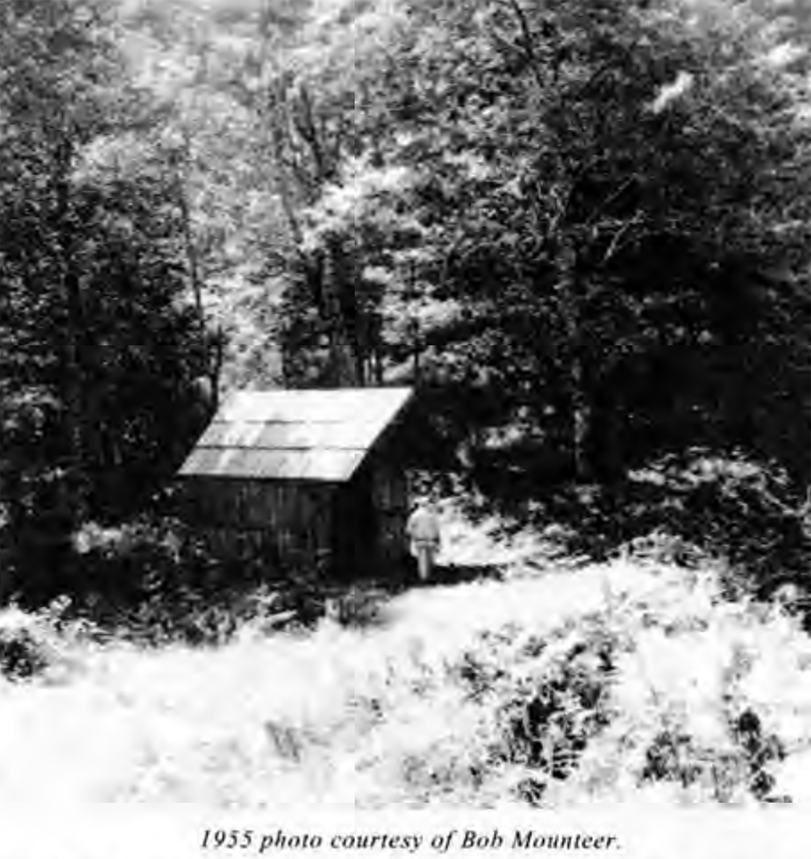
| Cedar Cabin, 1955 (Phillips 1998: 374) |
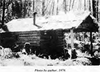
Pheasant Cabin, 1976 (Phillips 1998: 372) |
Stull Homestead/Vaughan Sawmill, 1955 (Phillips 1998: 395) |
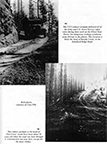
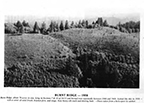
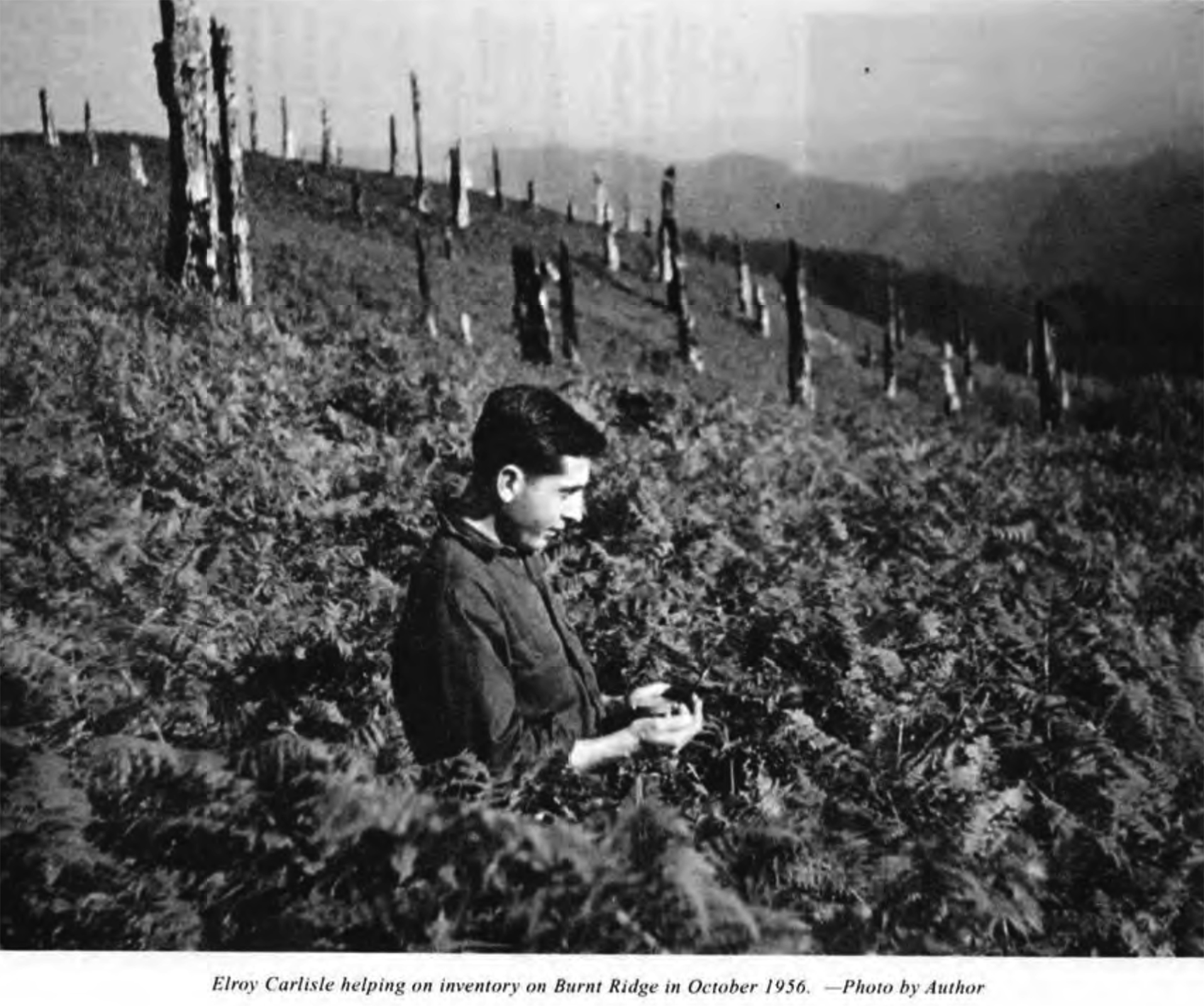
Burnt Ridge, 1956 (Phillips 1998: 95) |
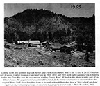
Burnt Ridge, 1958 (Phillips 1998: 203) |
 |
 |
 |
 |
 |
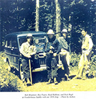
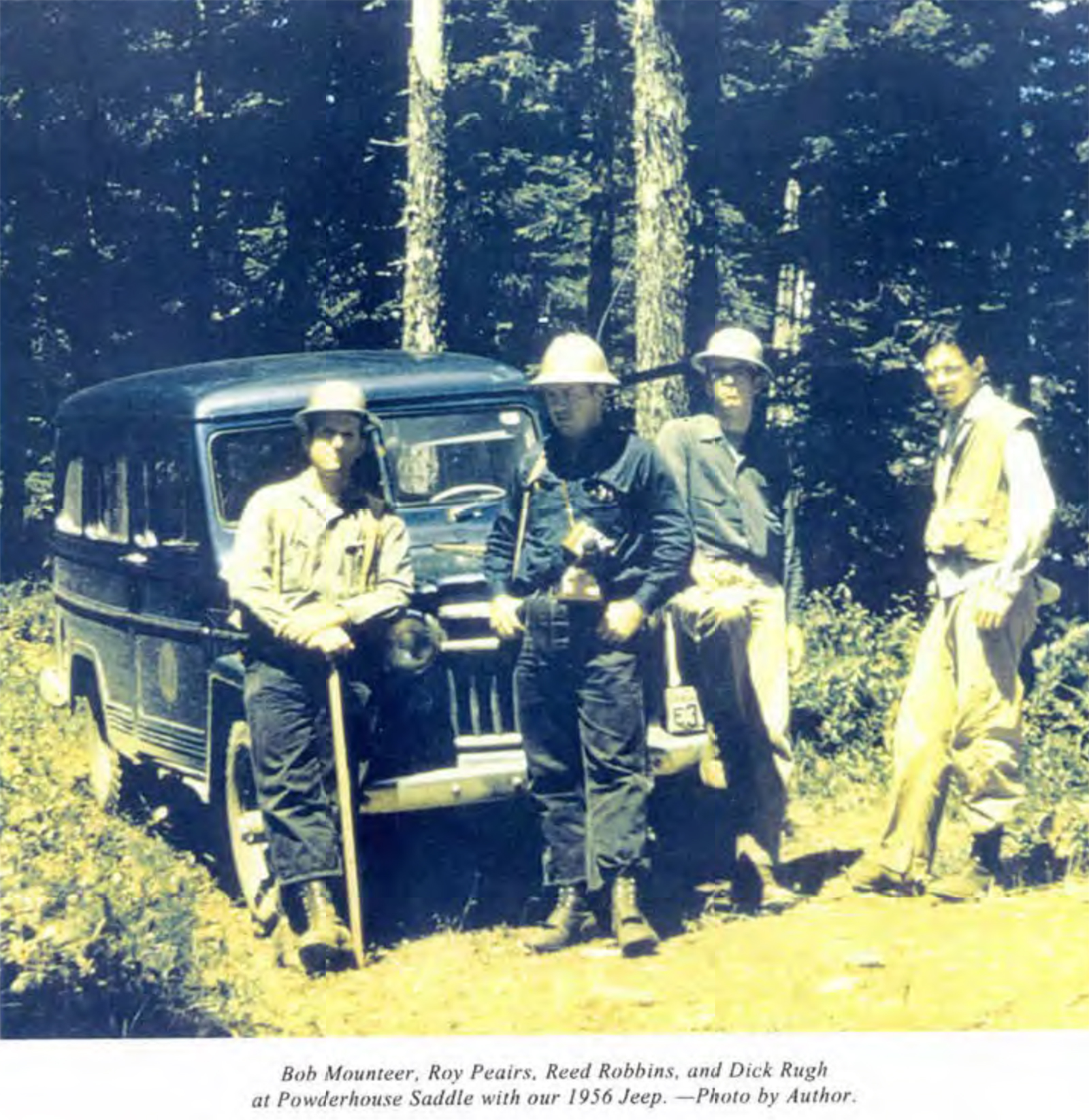
| Elliott Foresters/Powderhouse Saddle, ca. 1956 (Phillips 1998: 150) |
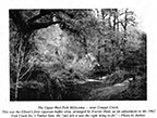
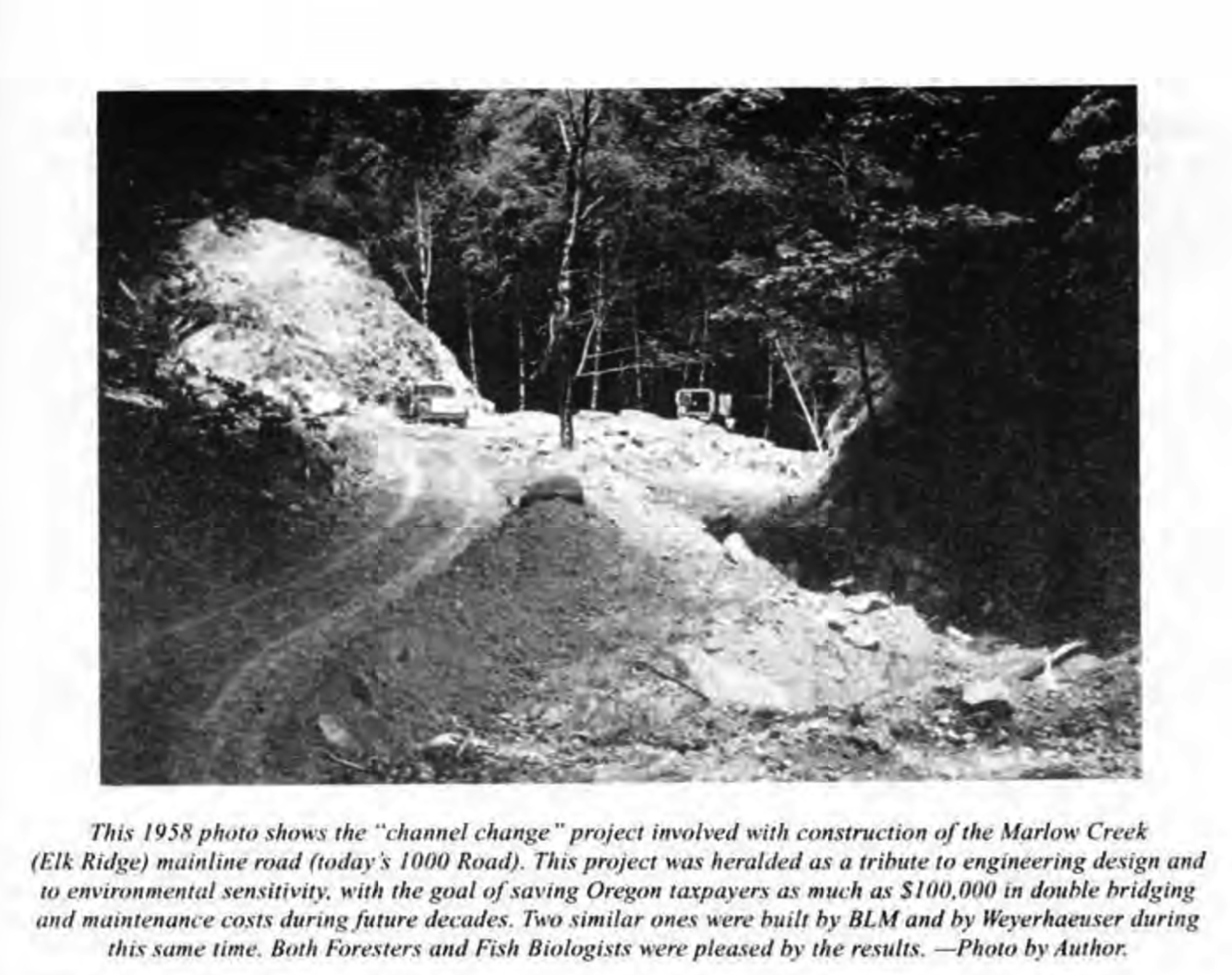
Marlow Creek "Channel Change," 1958 (Phillips 1998: 187) |
West Fork Millicoma Buffer Strip, ca. 1962 (Phillips 1998: 260) |
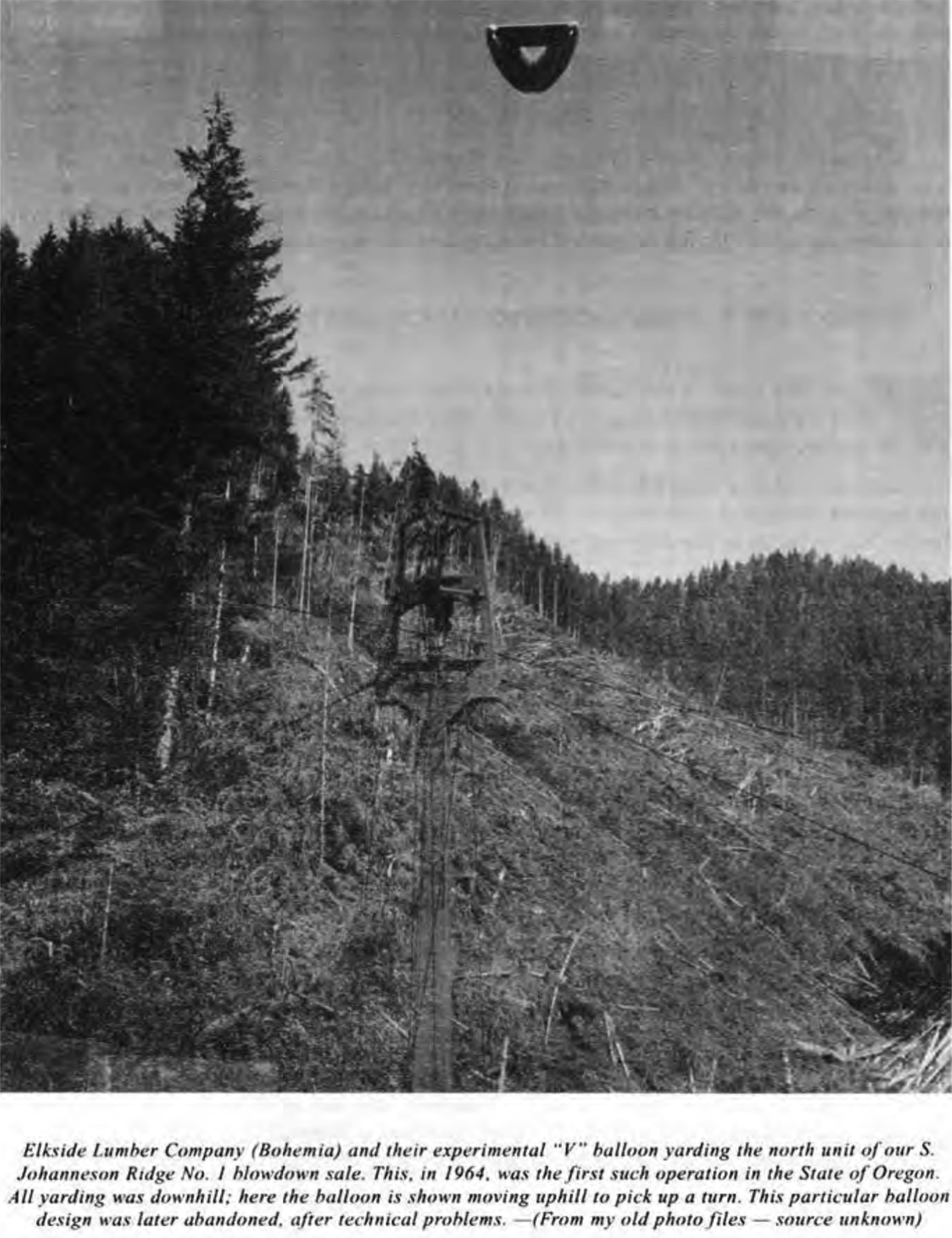
Balloon Logging, 1964 (Phillips 1998: 265) |
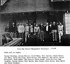
Elliott Foresters, 1968 (Phillips 1998: 290) |
 |
 |
 |
 |
 |
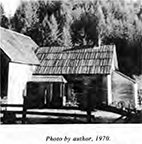
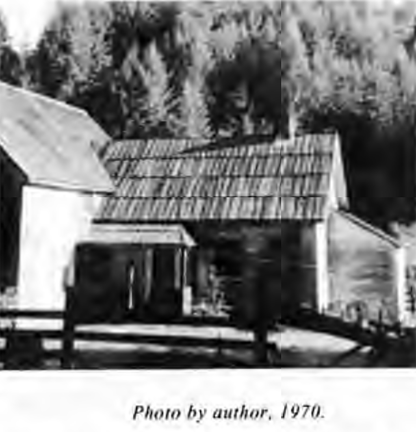
| Leach Family Home, 1970 (Phillips 1998: 376) |
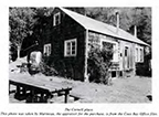
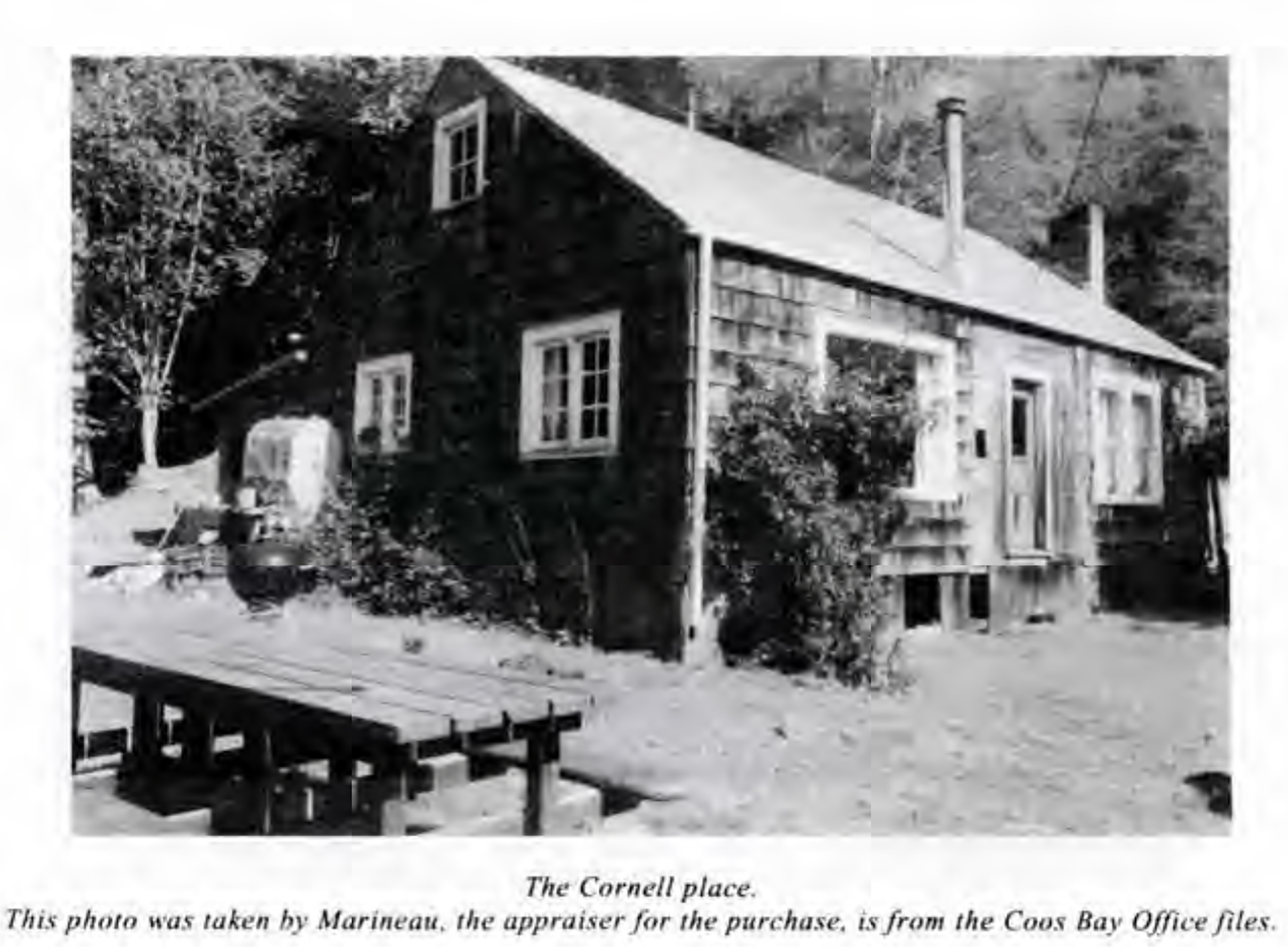
Cornell Place, ca. 1982 (Phillips 1998: 377) |
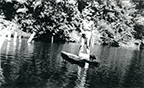
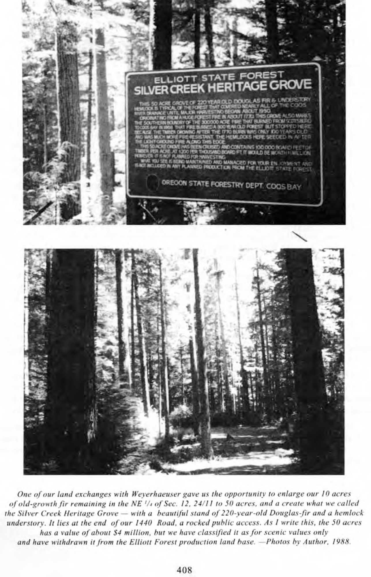
Silver Creek Heritage Grove, 1988 (Phillips 1998: 408) |
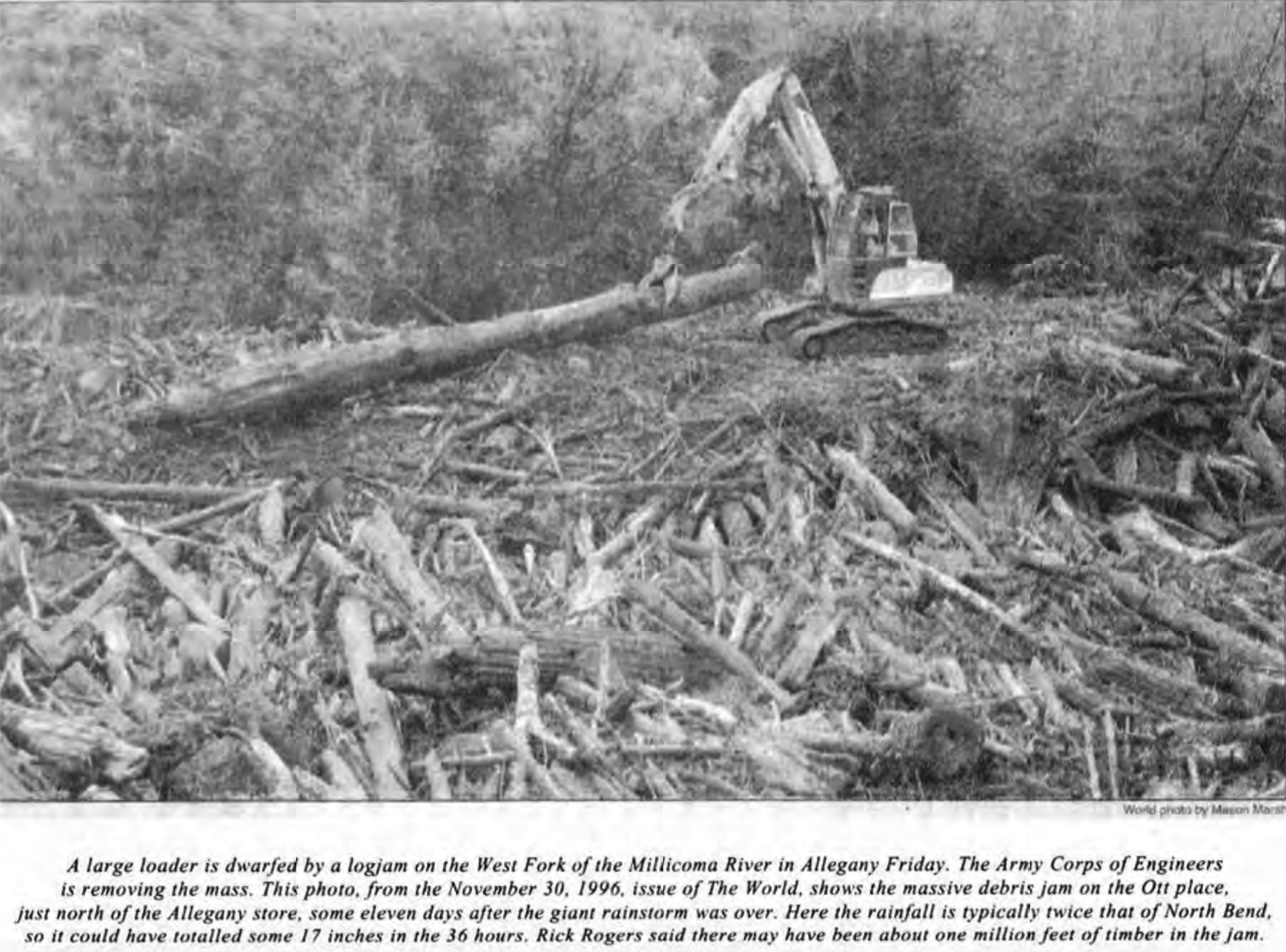
1996 Flood: Ott Property Logjam (Phillips 1998: 370) |
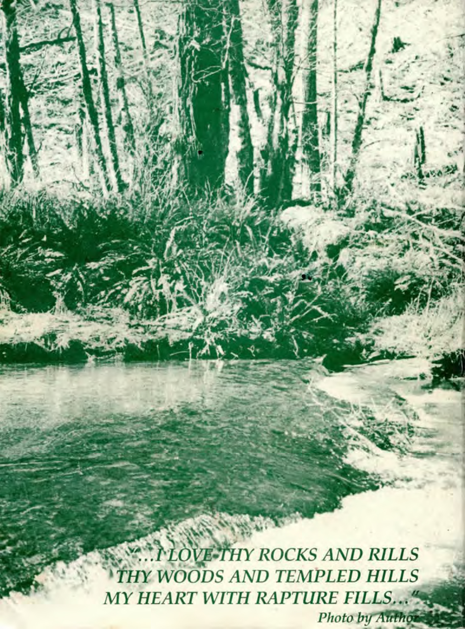
Phillips Poem and Photo, 1996 (Phillips 1998: Back Cover) |

© 2018 Oregon Websites & Watersheds Project, Inc. & NW Maps Co.


