Owl Ridge Trails Report
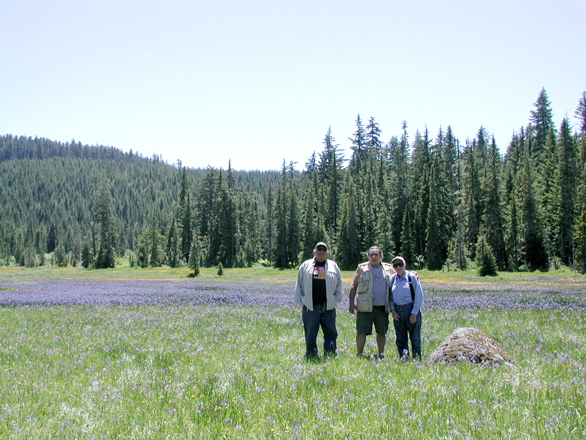
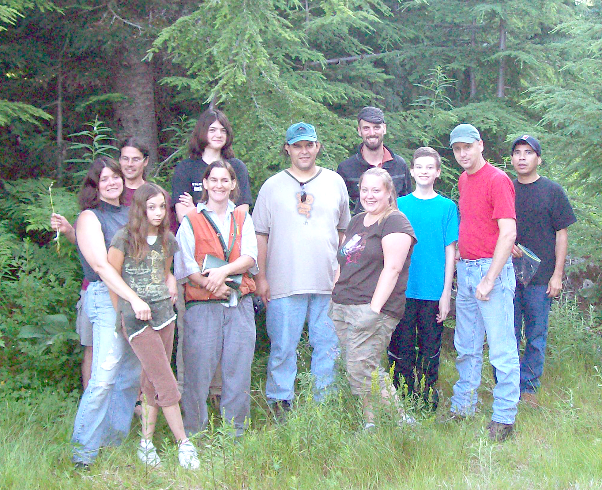
Bob Tom, Don Day, and Wayne Giesy at Gordon Meadows, June 17, 2007.
Location and Documentation of
Primary Travel, Trade, and Resource Use Trails of the Santiam Molalla
in the South Santiam River and Blue River, Oregon Headwaters, from 1750 to 1850
Final Report by Dr.
Bob Zybach
Program Manager, Oregon Websites and Watersheds Project, Inc.
Prepared for David Lewis, Cultural Resources Director,
and for the Tribal Council of the Confederated Tribes of Grand Ronde
June 30, 2008
![]()
Winner of 2009 Oregon Heritage Excellence Award
Gordon Meadows Restoration Plan
|
 |
 |
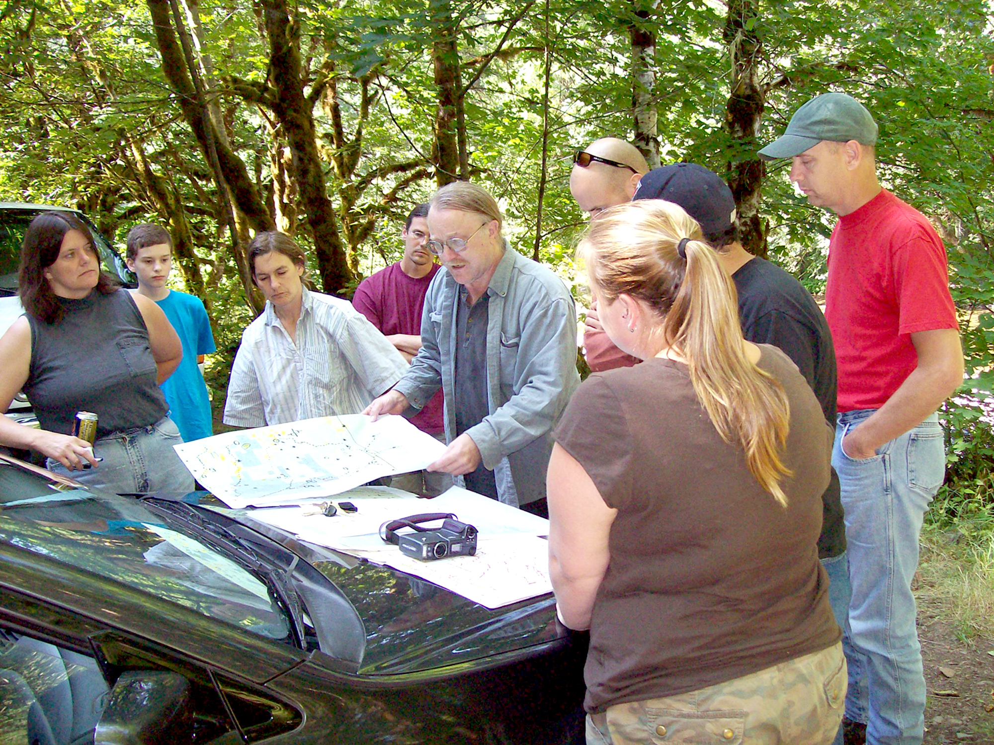 |
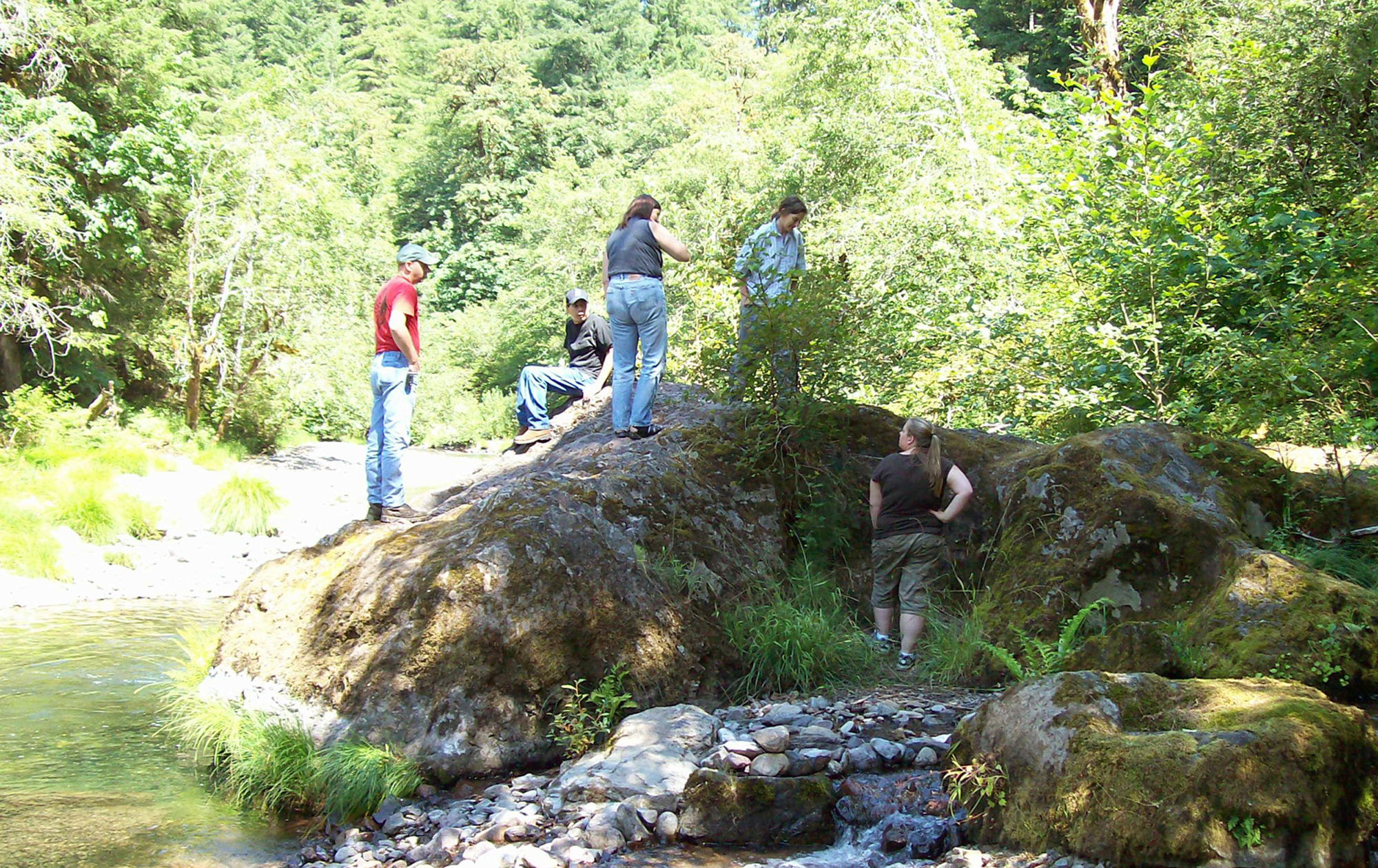
Elders at Gordon Meadows |
Location of Study Area |
Santiam Molalla Trail Network |
Predictive Map Development |
 |
 |
 |
 |
Fishing Rock |
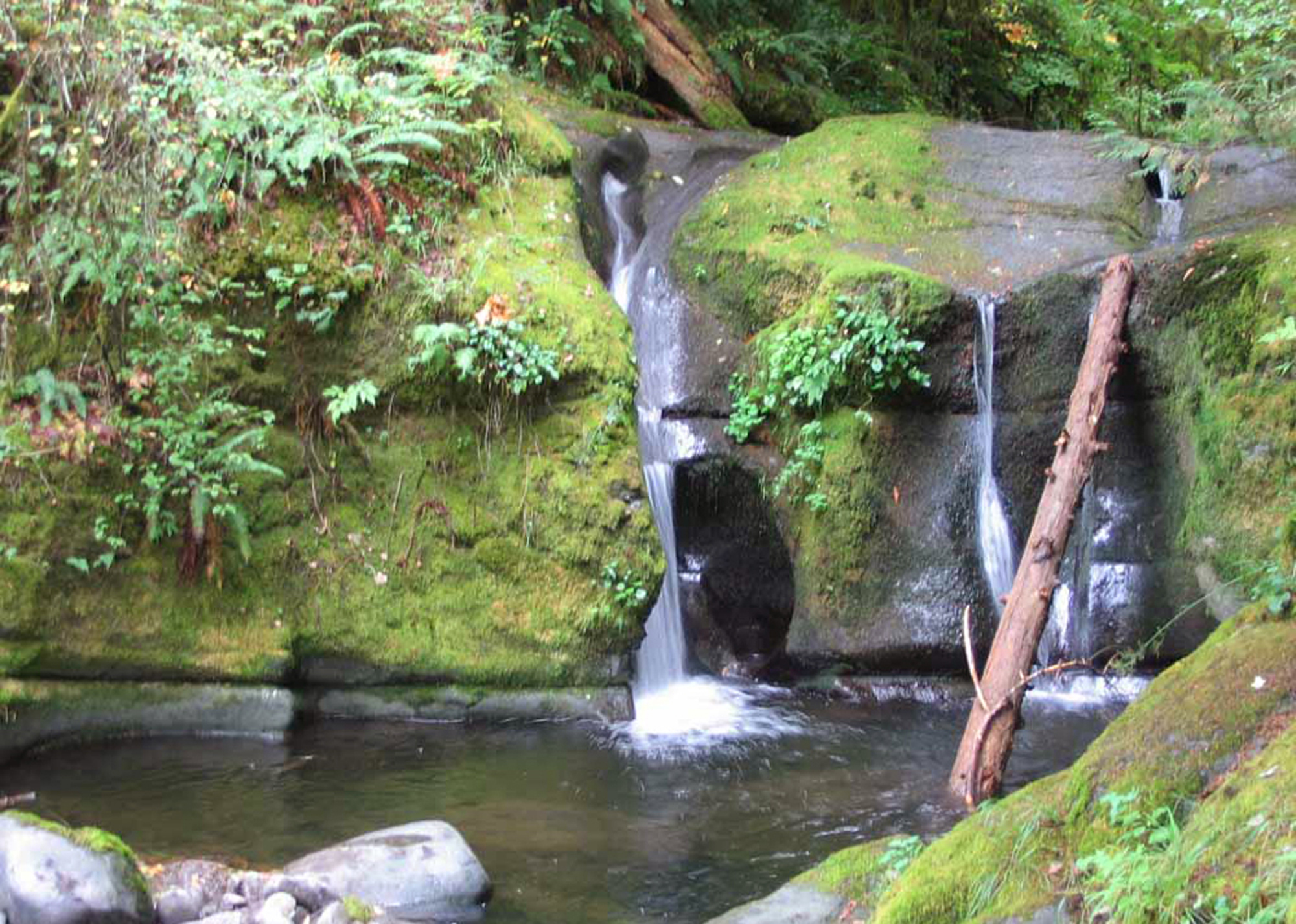
Dobbins Creek Falls |
Bear Pass |
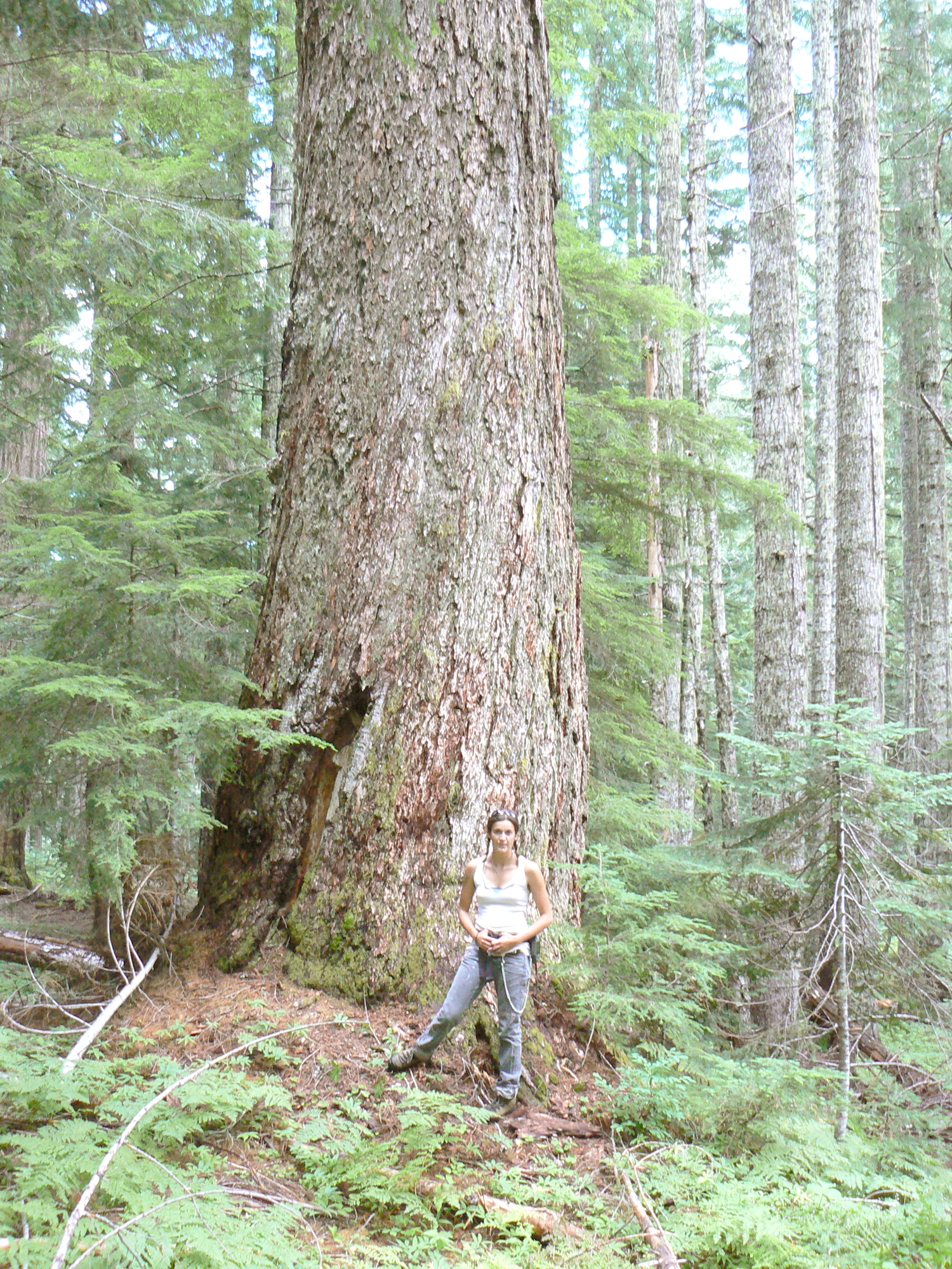
Old-Growth |
 |
 |
 |
 |
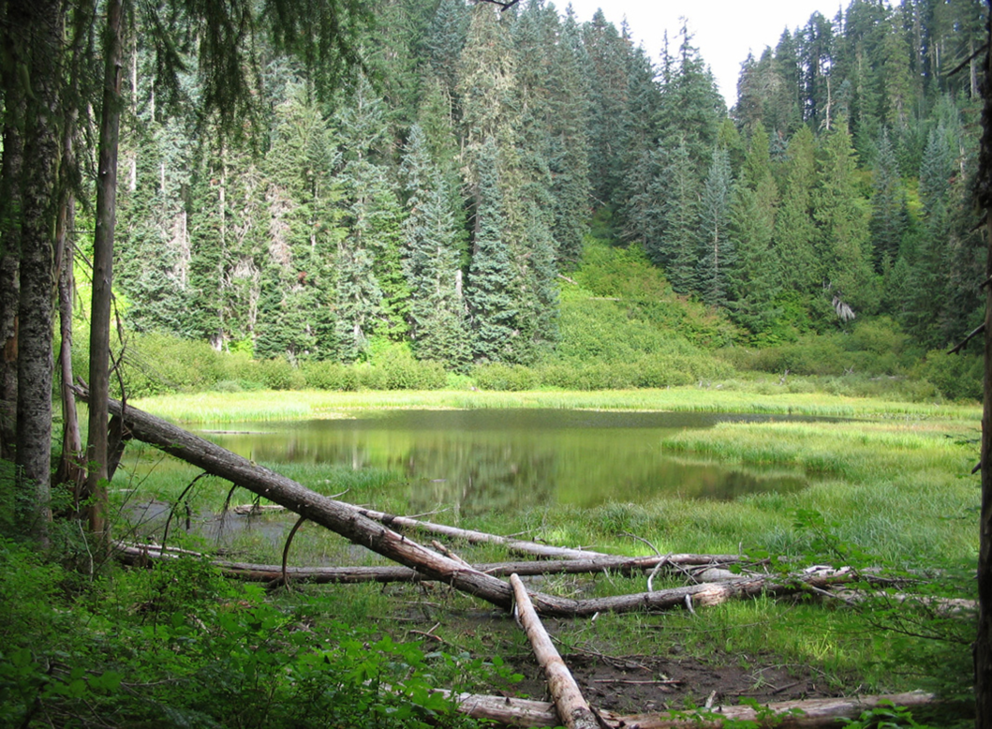
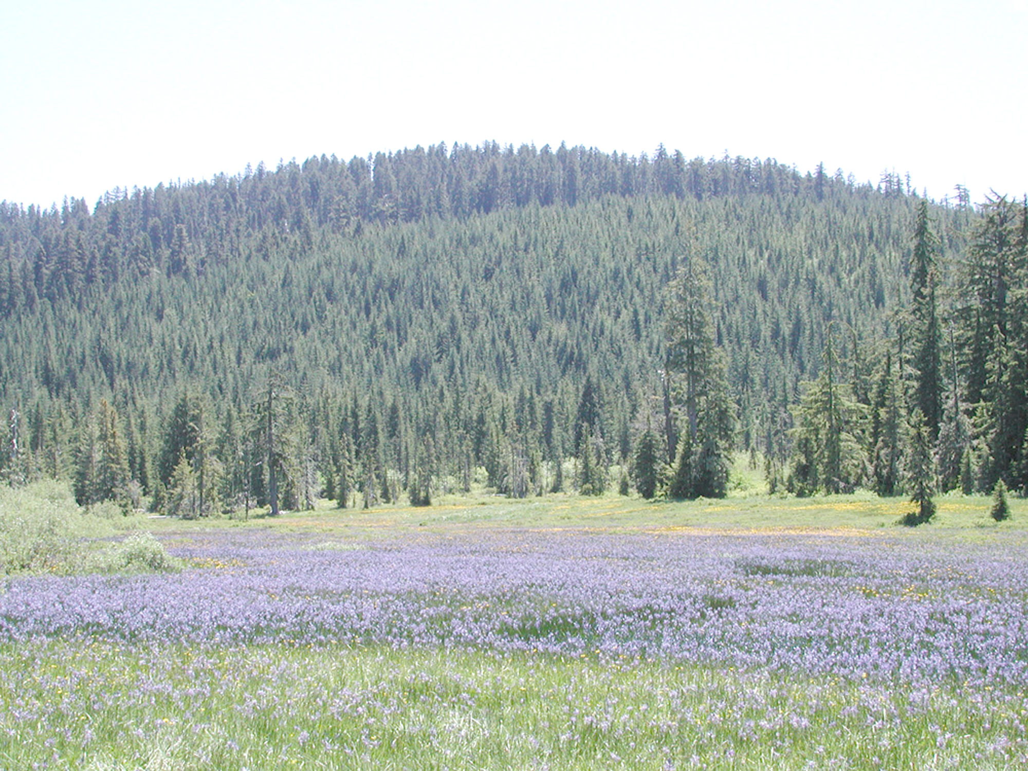
Camas Prairie |
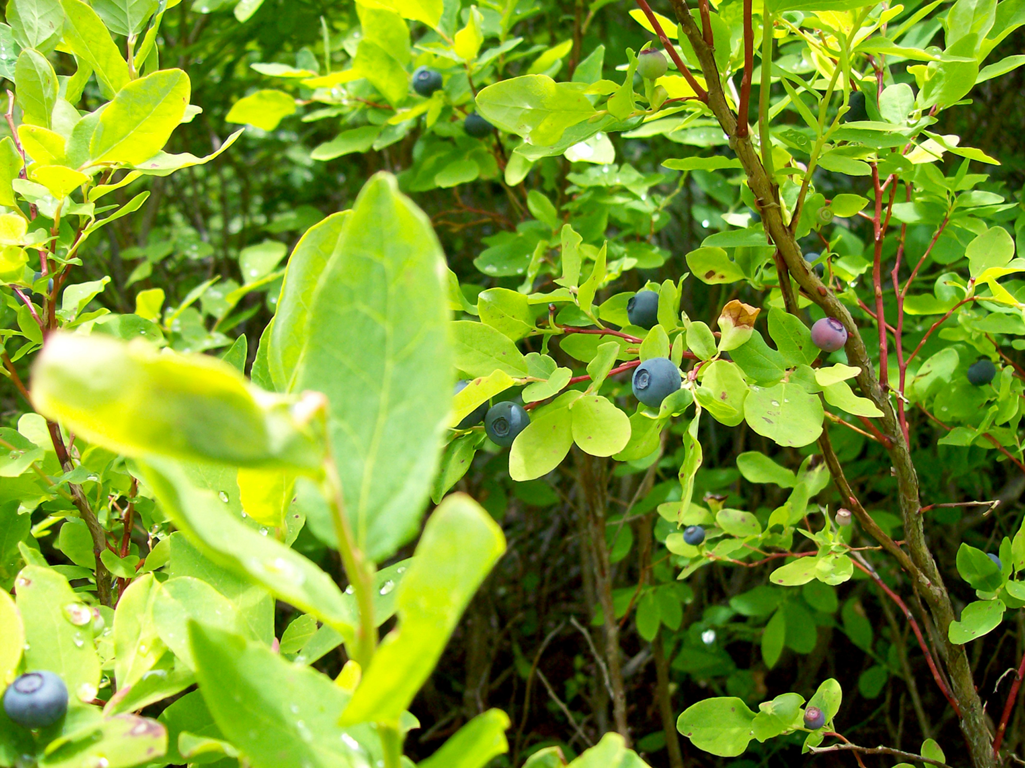
Blue Huckleberries |
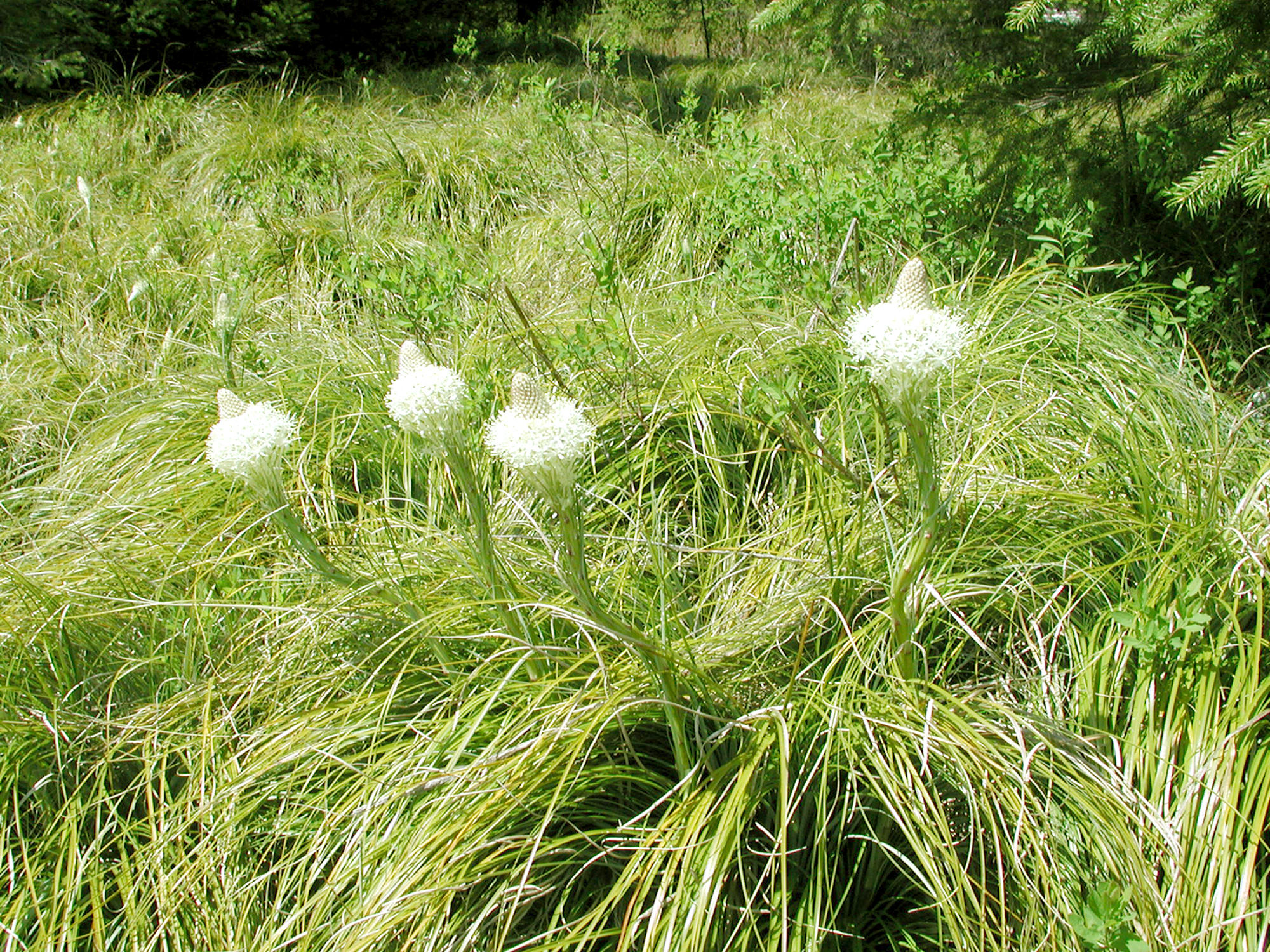
Beargrass Meadow |
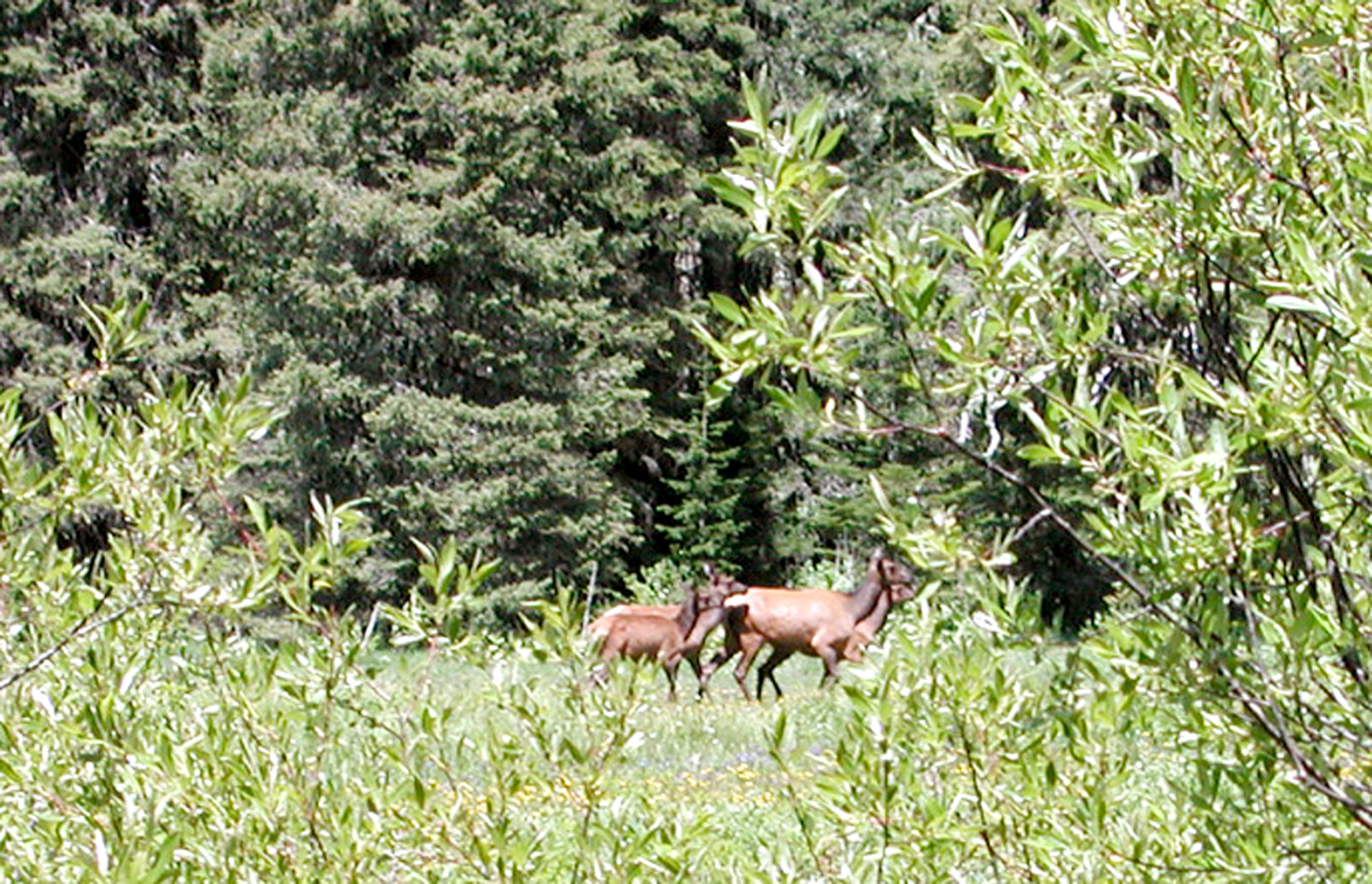
Elk and Willow |
 |
 |
 |
 |
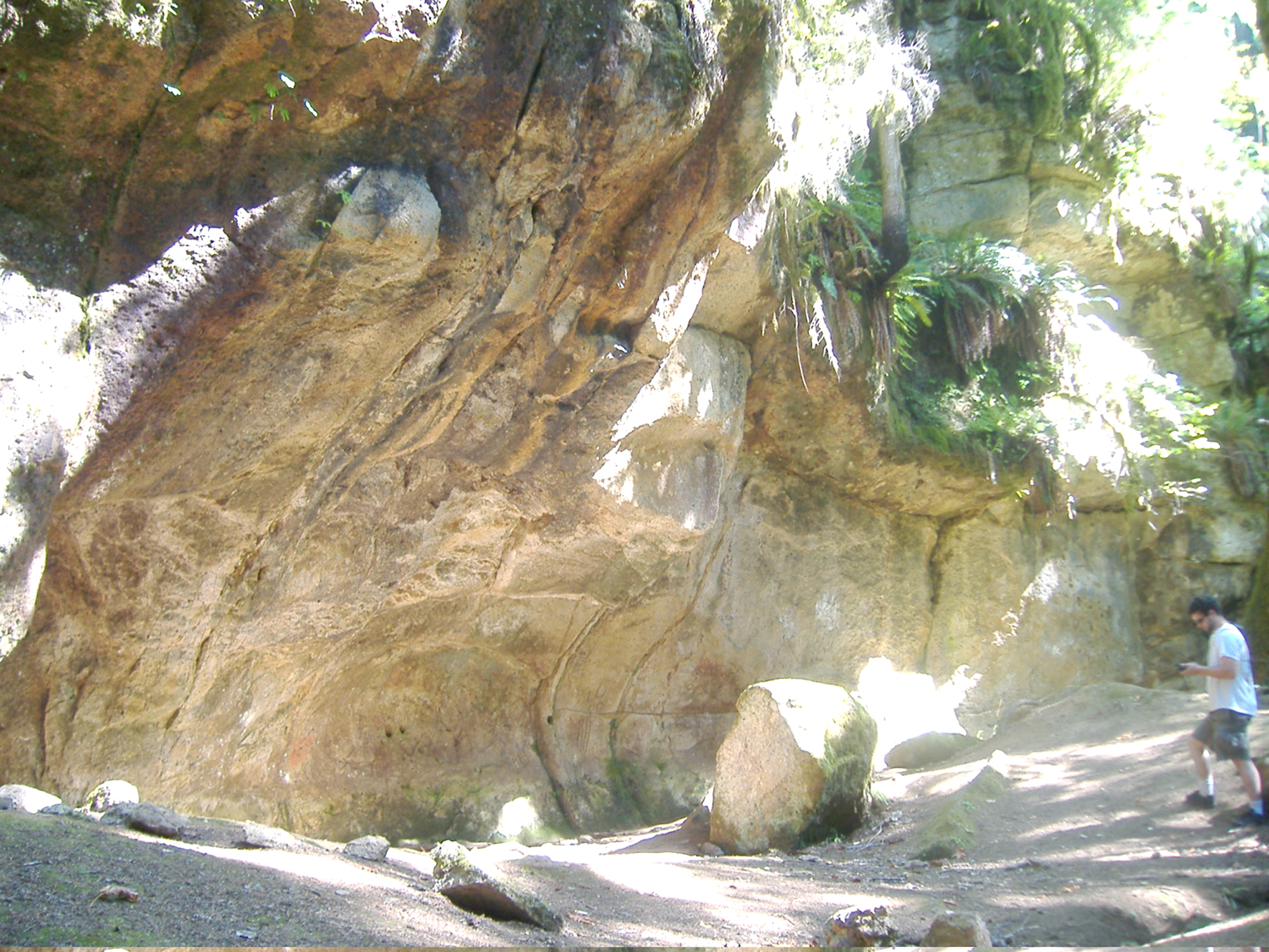
Cascadia Cave |
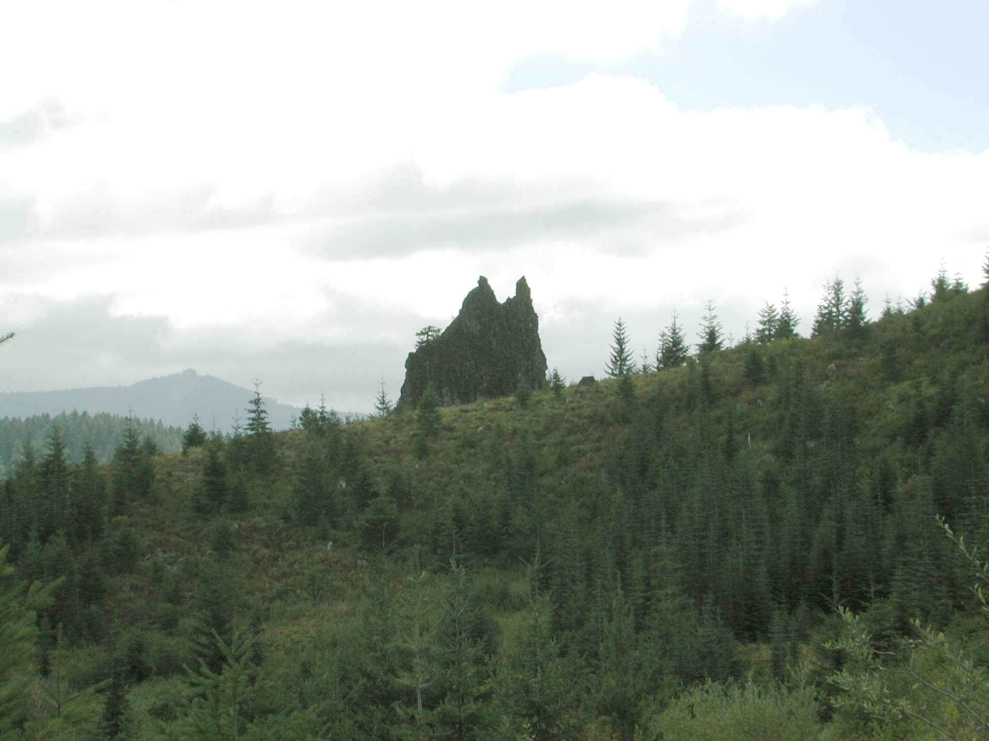
Unnamed Rock |
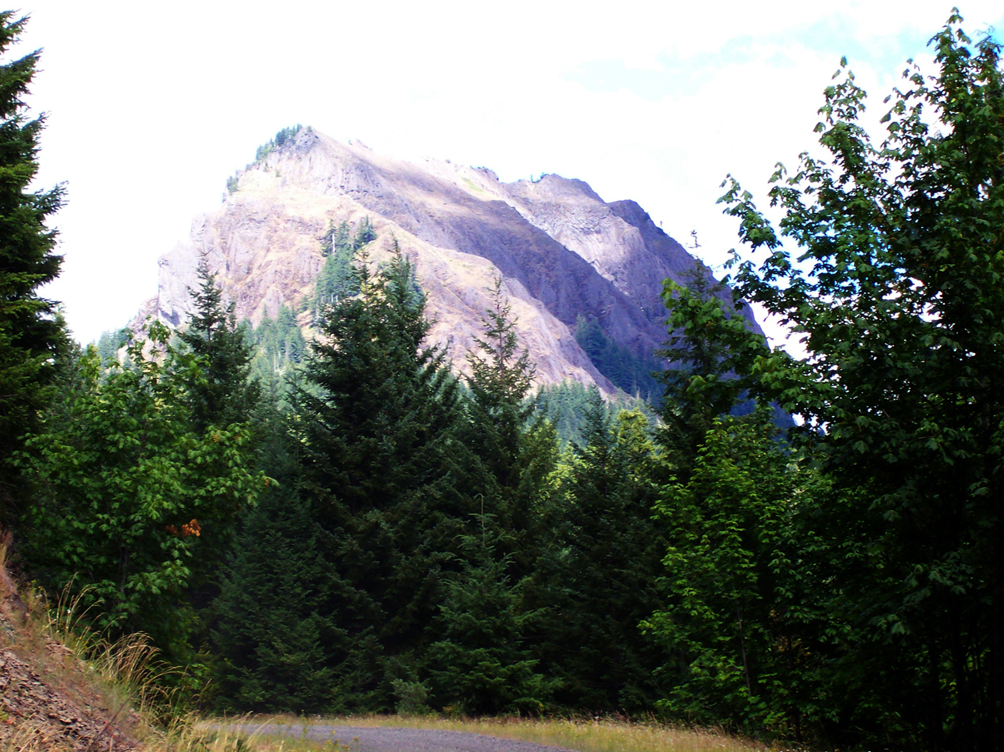
Wolf Rock |
Future Generations |
CITATION: Zybach, Bob 2008. Owl Ridge Trails Report: Location and Documentation of Primary Travel, Trade, and Resource Use Trails of the Santiam Molalla in the South Santiam River and Blue River, Oregon Headwaters, from 1750 to 1850. Report prepared for Confederated Tribes of Grand Ronde by Oregon Websites & Watersheds Project, Inc., Philomath, Oregon. June 30: 86 pp. [PDF: 30.7 mb].
| Cover, Mission Statements, Acknowledgements, Table of Contents, Executive Summary | PDF_1.86_mb. |
| Mission Statements & Acknowledgements |
|
| 1. Santiam Molalla History, Culture, and Geography |
PDF_11.75_mb |
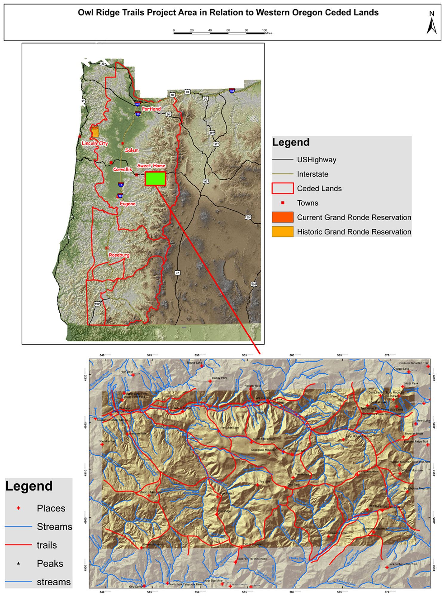
Map 1. Location of Owl Ridge Trails Project to western Oregon ceded lands |
|
| 2. Project Research Methods and Boundaries | |
Map 2. Annotated fragment of 1907 GLO map of Tsp. 15 S., Rng.
4 E. Figure 1. Excerpt from 1903 USDI Plummer report re: Tsp. 14 S.,
Rng. 5 E. Table 1. Repeat aerial photography of Latiwi Mountain Trail, 1946-1981 |
|
| 3. Named Rivers, Creeks, Peaks, Other Landmarks, and Destinations | PDF_4.78_mb |
| Table 3. Santiam Molalla landmarks | |
| 4. Primary Trail Network and Seasonal Use Patterns | |
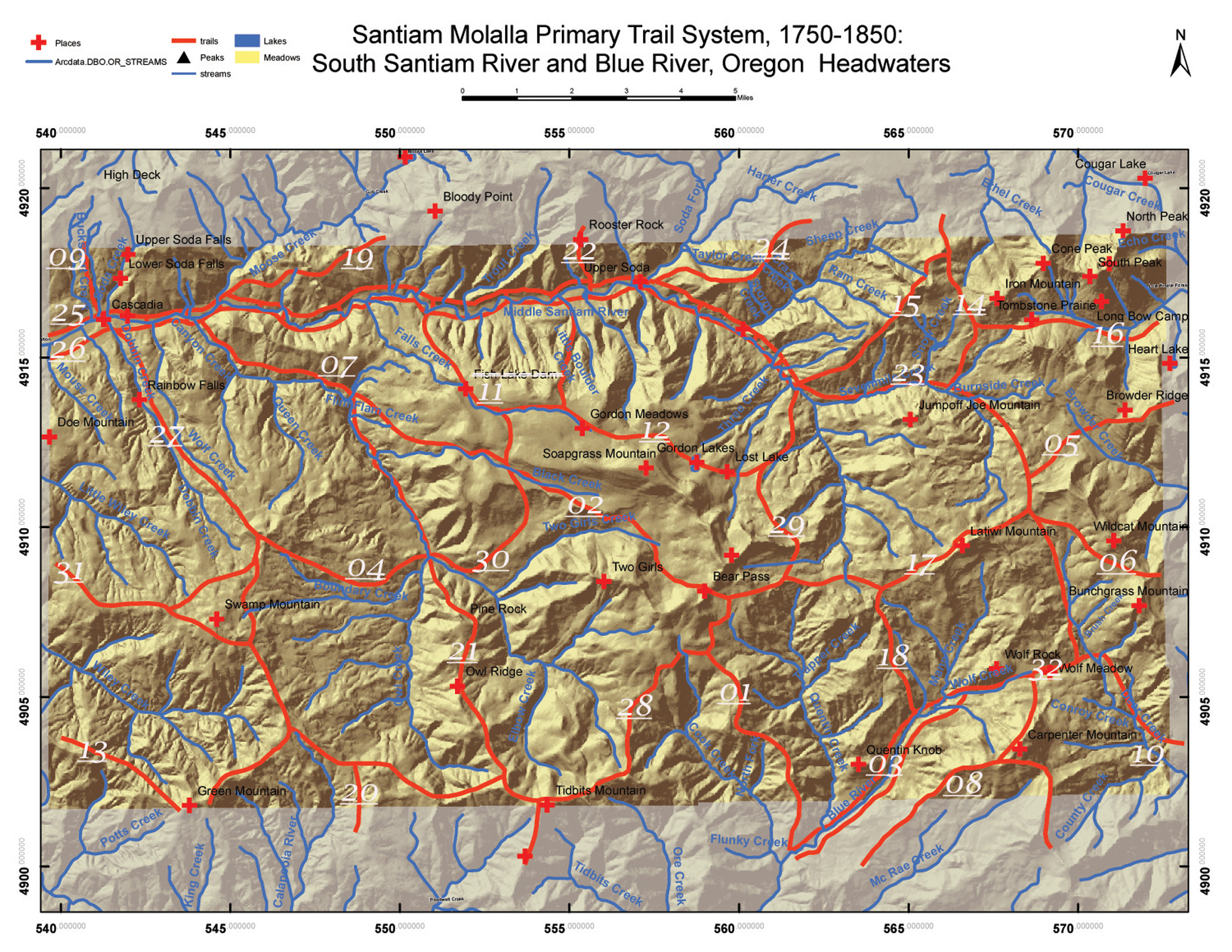
Map 5. Index map of 32 named Santiam Molalla primary foot-trail segments Table 4. Relative elevations of key Santiam Molalla locations |
|
| 5. Cultural Plant Use and Management | PDF_3.92_mb |
| Table 5. Typical Santiam Molalla plant products Table 6. Relative elevations of principal Santiam Molalla cultural plants |
|
| 6. Fish and Game Products | |
| Table 7. Local South Santiam River and Blue River wildlife species | |
| 7. Summary of General Findings | PDF_2.63_mb |
| Figure 6. Human presence on the South Santiam River | |
| 8. Discussion, Hypotheses & Recommendations | |
| Table 8. Recommendations | |
| References and Appendices | PDF_4.35_mb |
Appendix A. Names on the Land and Waters Map 6. Index of Landmark Names in Owl Ridge Trails Project area |
|
| Appendix B. Santiam Molalla Destinations and Foot-Trail Routes | |
| Appendix C. Local Names for Plants Used by Santiam Molalla | |
Appendix D. GPS Photo Points and Santiam Molalla Land Use Rankings Map 7. Index of GPS photo points in Owl Ridge Trails Project area |
|
| Appendix E. ORWW.org Aerial Photographs/South Santiam Headwaters /1944-1981 Landscapes | |
| Appendix F. ORWW.org Osbornes_Project/South Santiam Headwaters/1934-1937 Landscapes | |
| Appendix G. ORWW.org/Documentary Photographs/South Santiam River/Canyon_Creek 2007 |
![]()