Round Lake
West Shore 360° Panorama
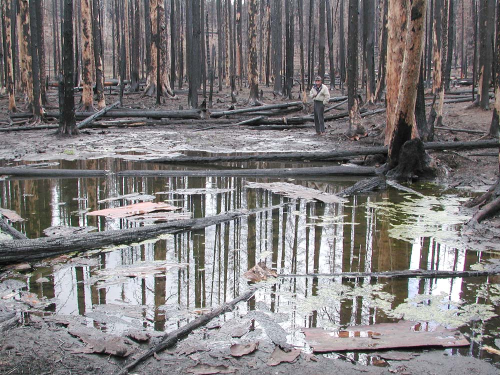
Dr. Benjamin Stout inspects an ephemeral snowmelt pond near the western shore of Round Lake, May 15, 2004.
Northing 44.44210---Easting 121.79014---Elevation
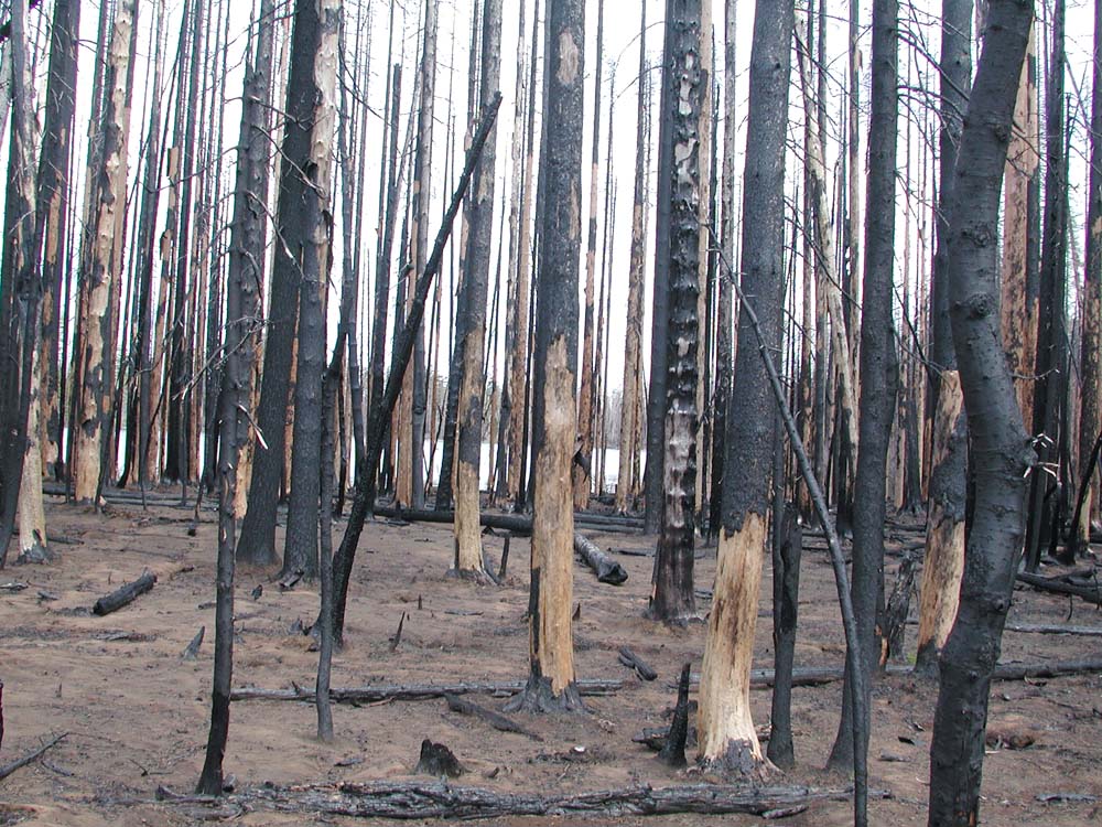
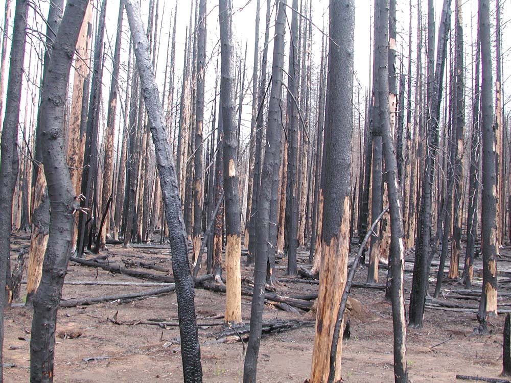
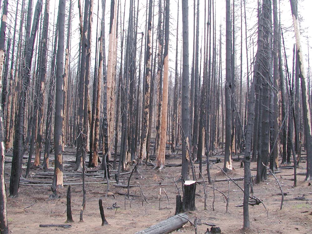
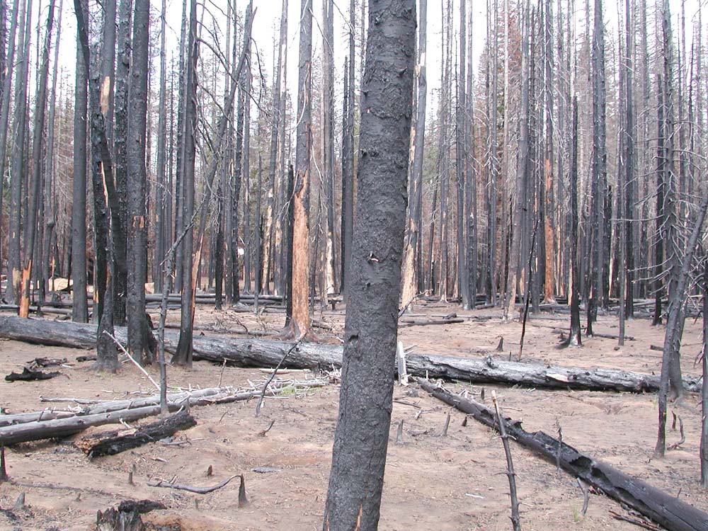
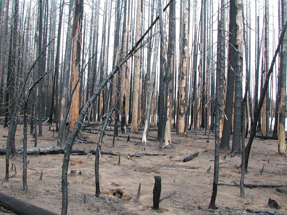
This Grid Point location is near the Christian Camp and was was first established on May 15, 2004, during an informal field trip with Dr. Benjamin Stout. As can be seen by the photos, the area was severly burned. The fire burned right up to the lake and only a few greens trees were left in the area.
Spring (May 15, 2004)
| icon | Filename and Description |
 |
0957_Shoreline The northwestern shore of Round Lake shows total tree kill. |
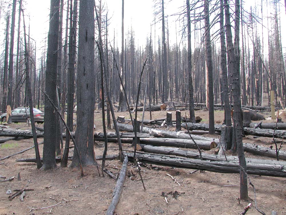
| 0958_Age_Classes At least two, and maybe three, age classes of both killed trees and snags can be discerned. | |
| 0959_Tree_Migration These trees, now snags, appear to have seeded in on an old grassland. | |
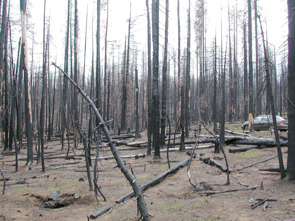
| 0960_Mitsubishi Automobile provides scale for size of snags. | |
| 0961_Mitsubishi The cut snags were probably cut during wildfire management operations. | |
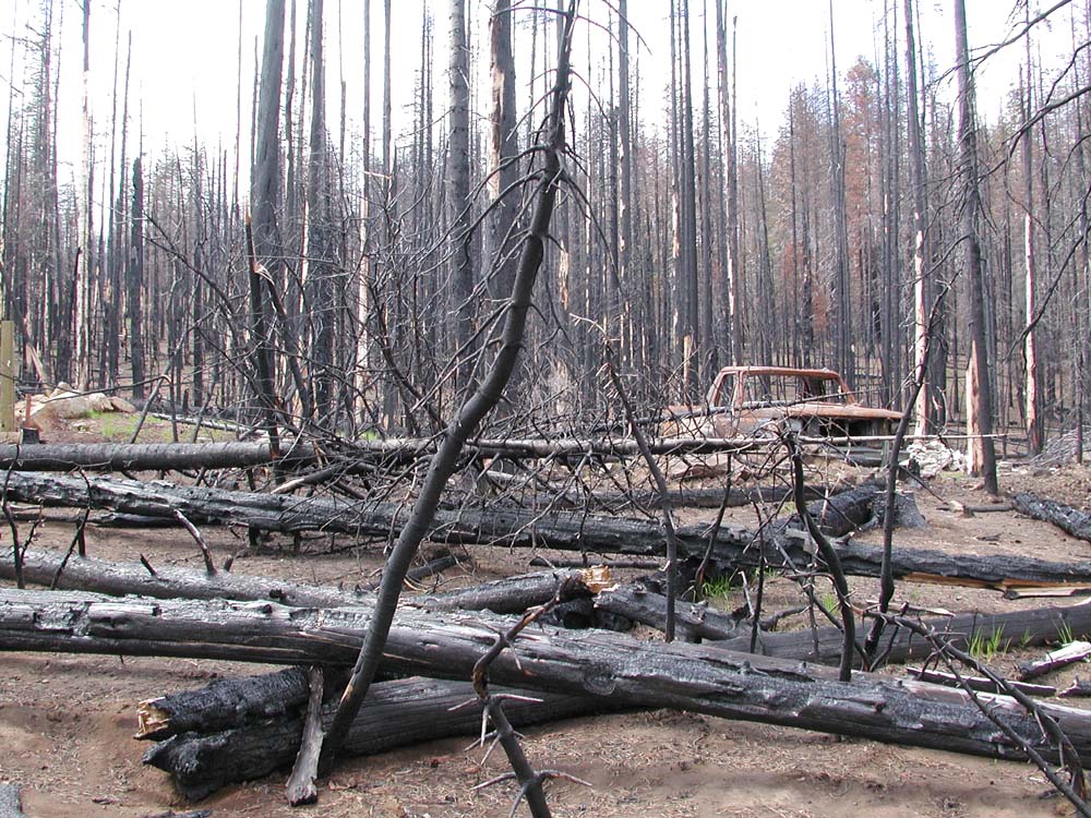
| 0962_Truck Incinerated truck is another indicator of just how hot the fire got. | |
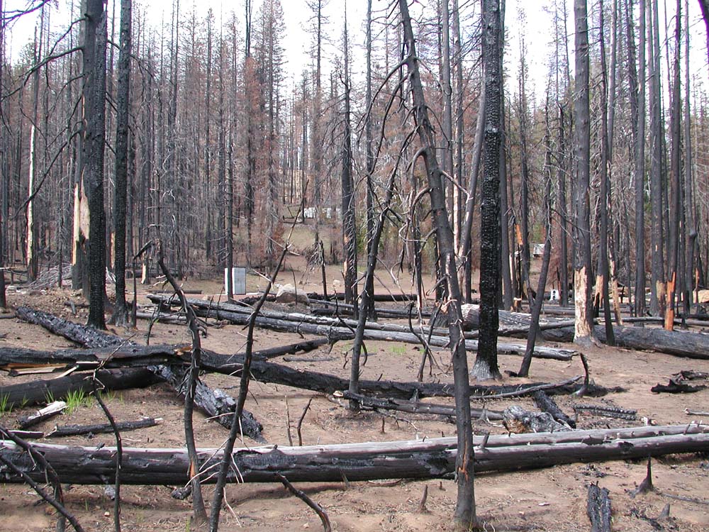
| 0963_Christian_Camp Burned remains of Christian Camp can be seen in the background. | |
| 0964_Woody_Debris This photo shows the degree of mortality of nearby trees and surface vegetation. | |
| 0965_Shoreline Lake visible through snags. | |
| 0966_Ben Benjamin Stout inspects ephemeral pond made from melted snow on the lake's western shore. |
![]()
©2004 Oregon Websites and Watersheds Project, Inc. and NW Maps Co.