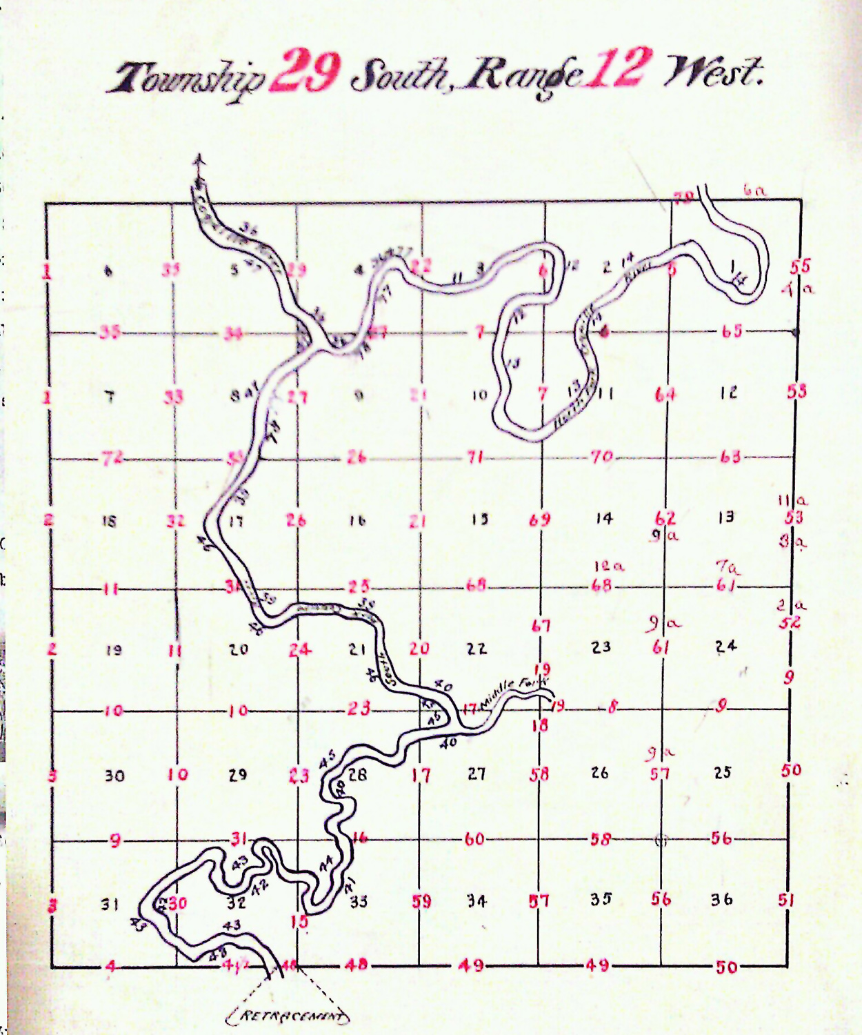
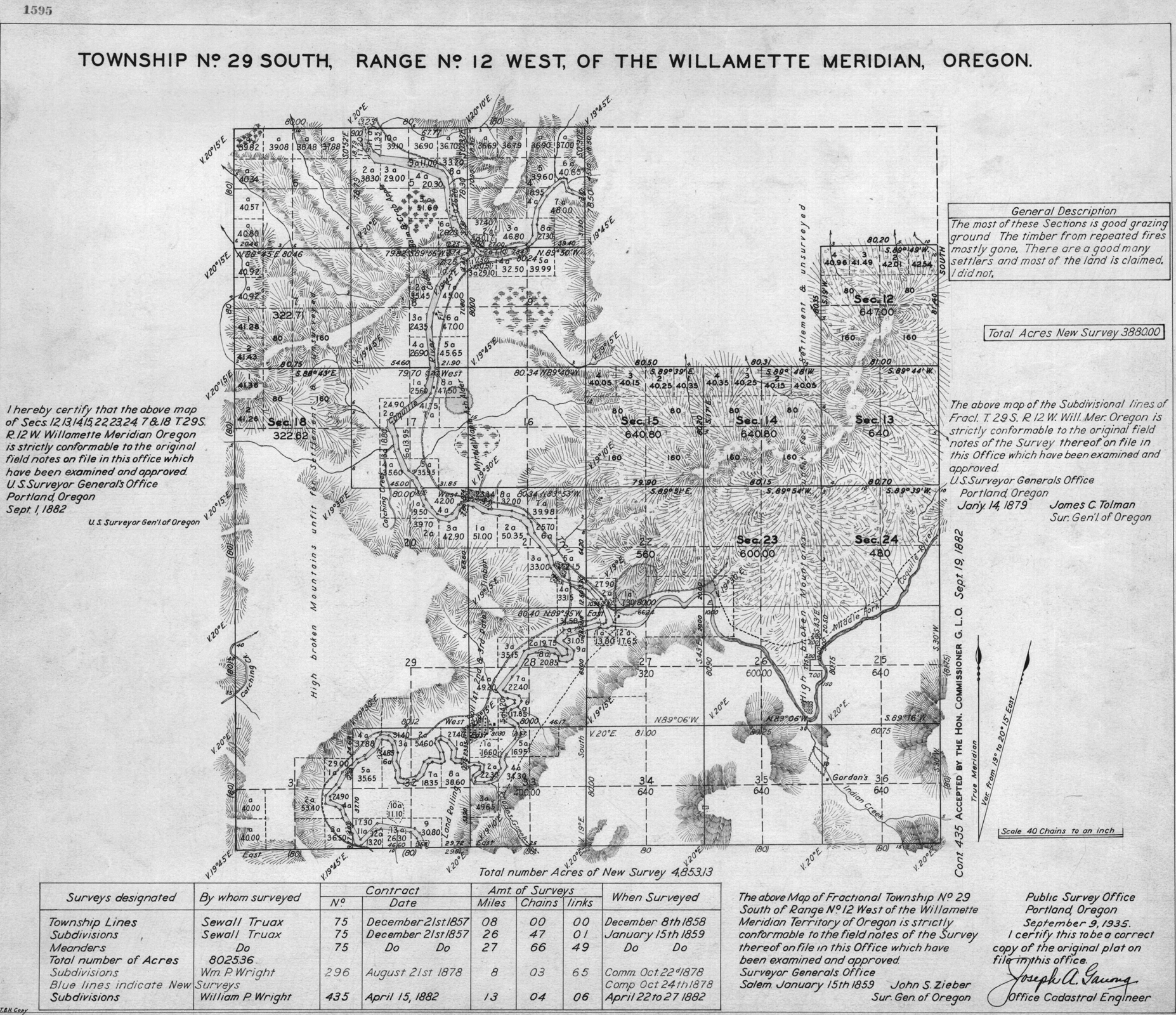
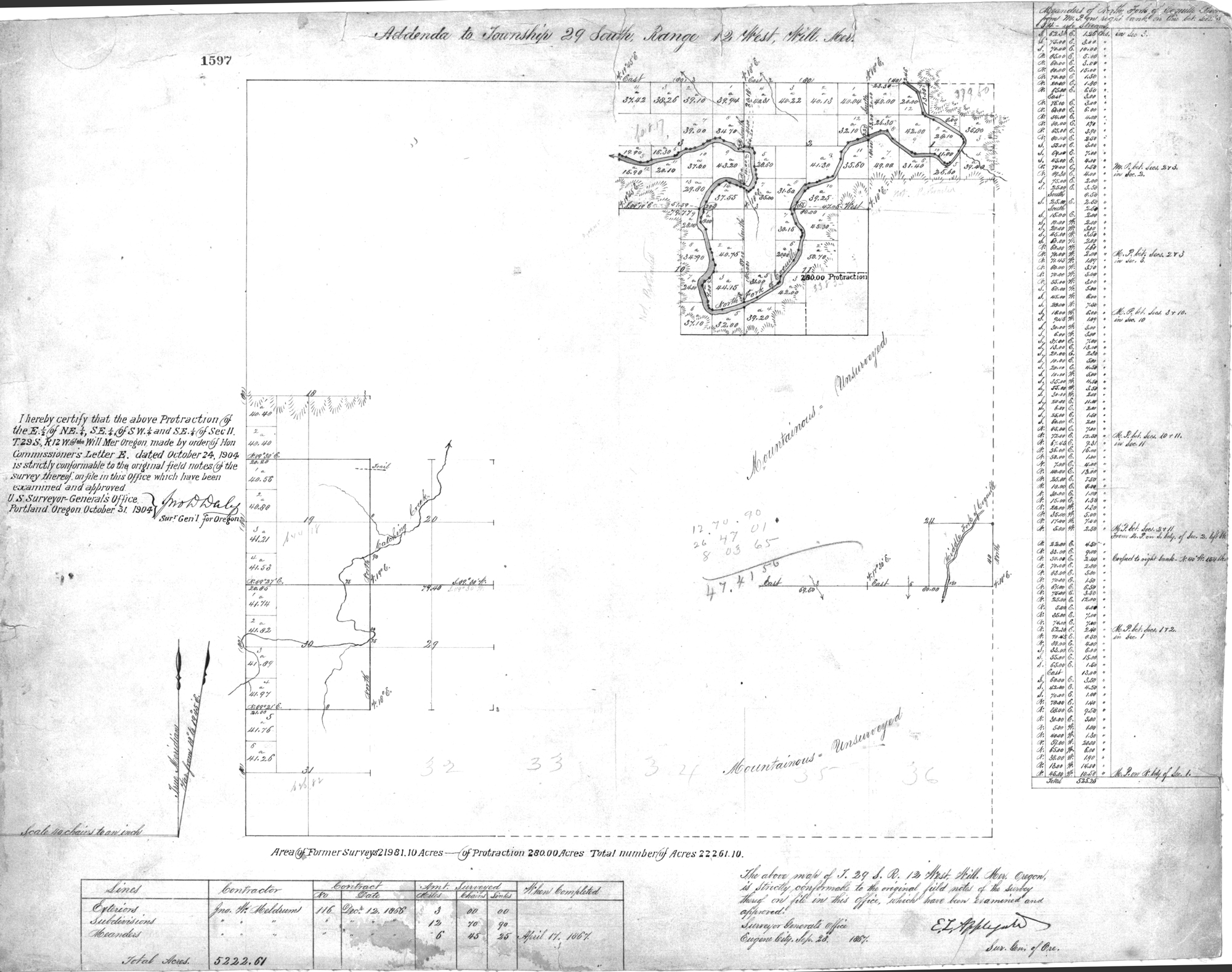
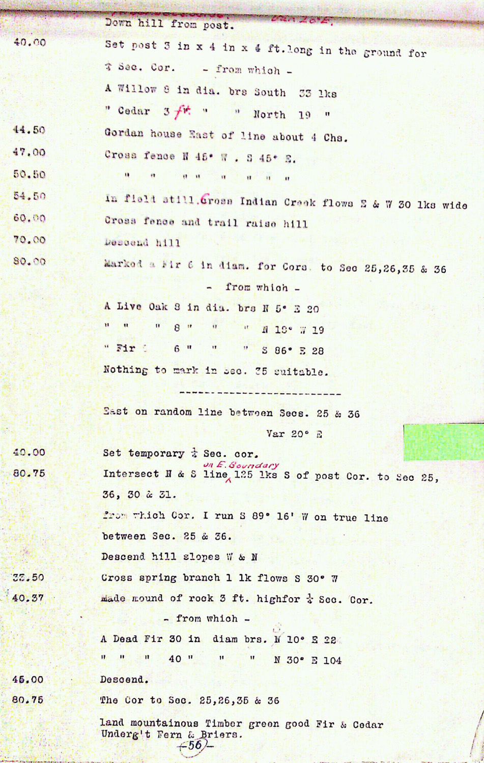
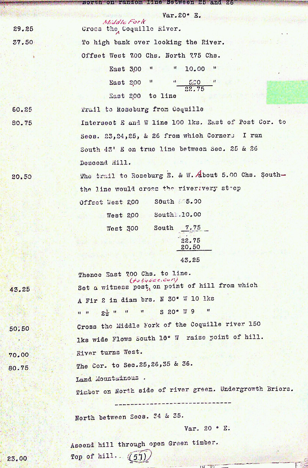
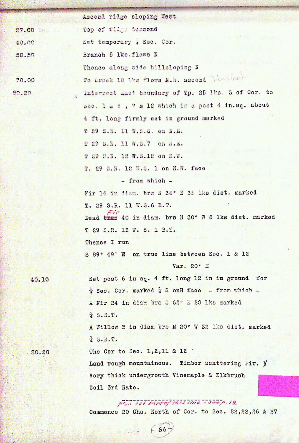
Tsp. 29 S., Rng. 12 W.
General Land Office Survey Index
 |
 |
 |
 |
 |
 |
1859 GLO |
1867 GLO |
1862 DLC |
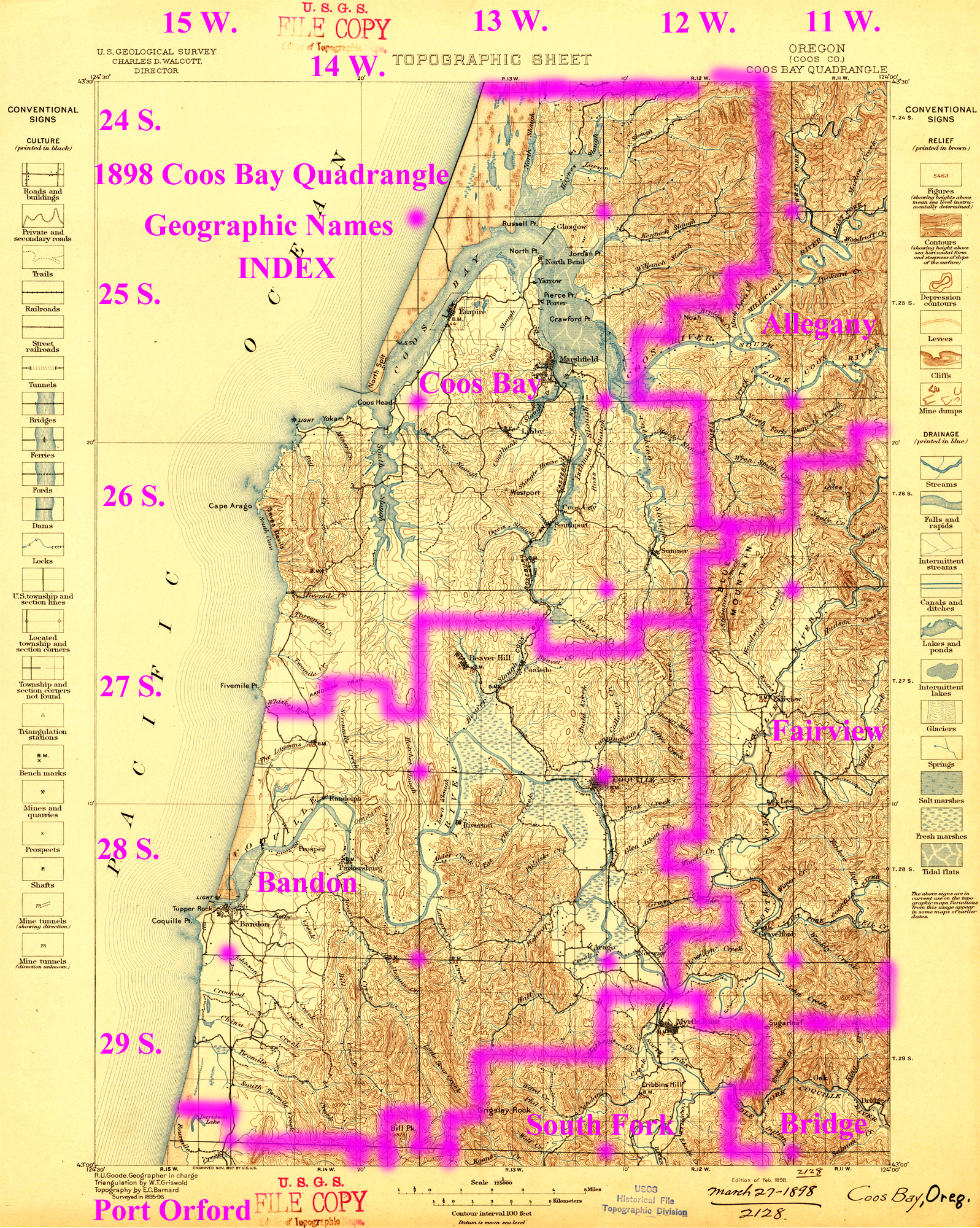
1898 Annotated USGS Coos Bay |
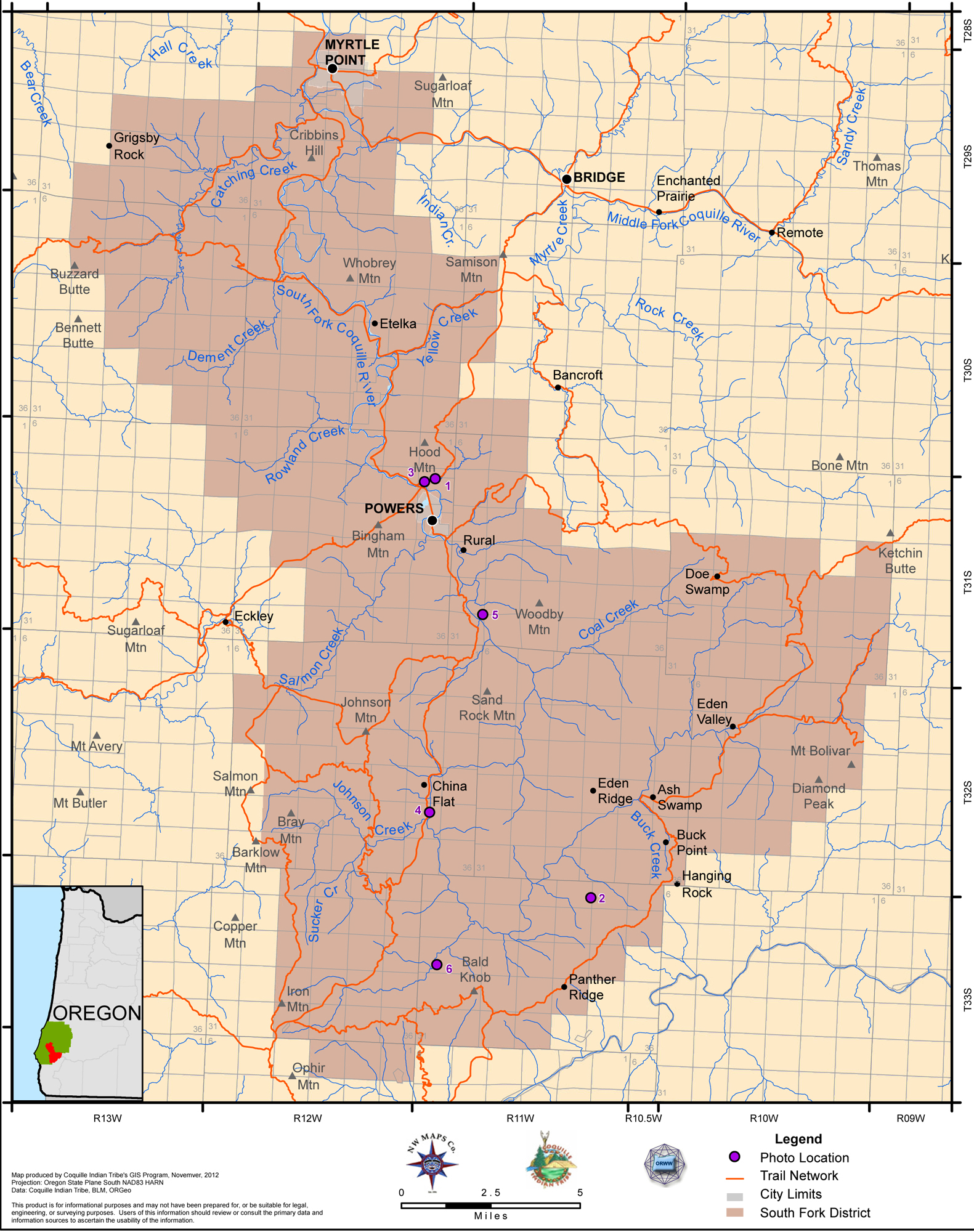
2012 South ForkDistrict |
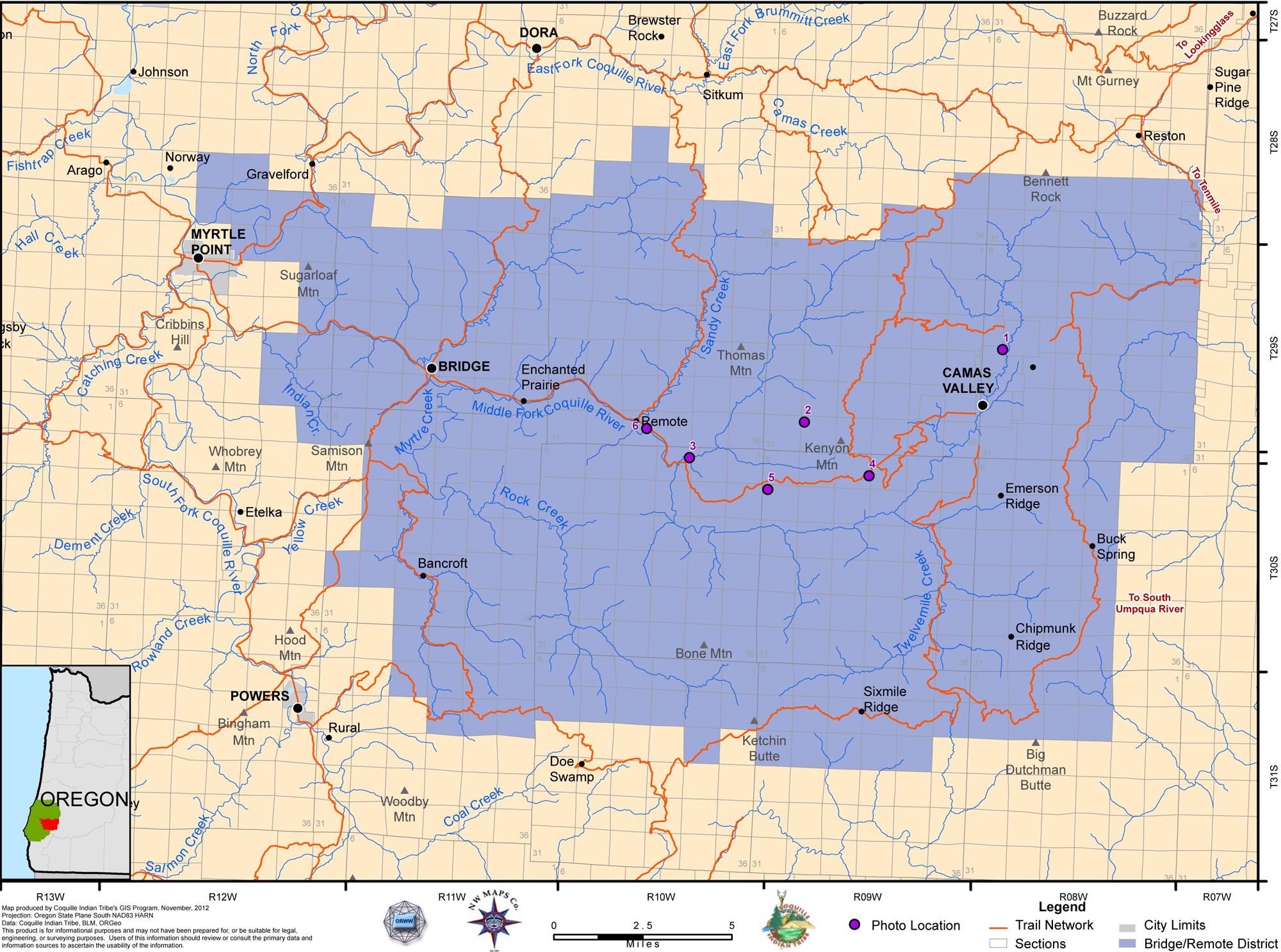
2012 Bridge-Remote District |
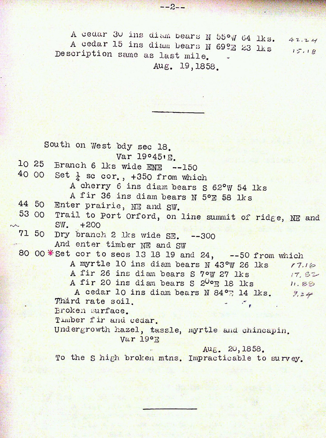
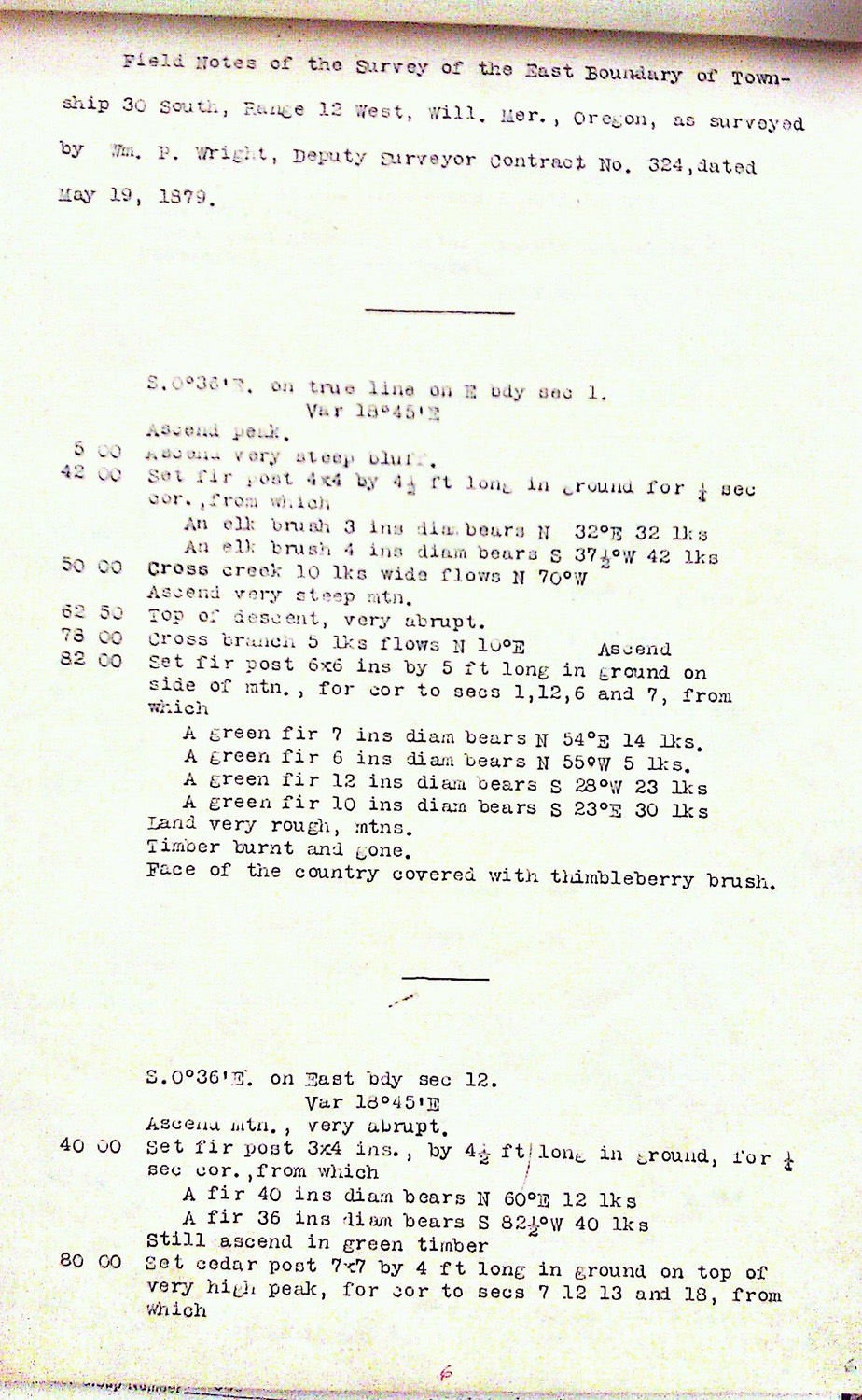
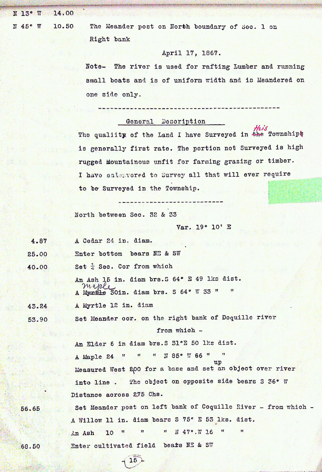
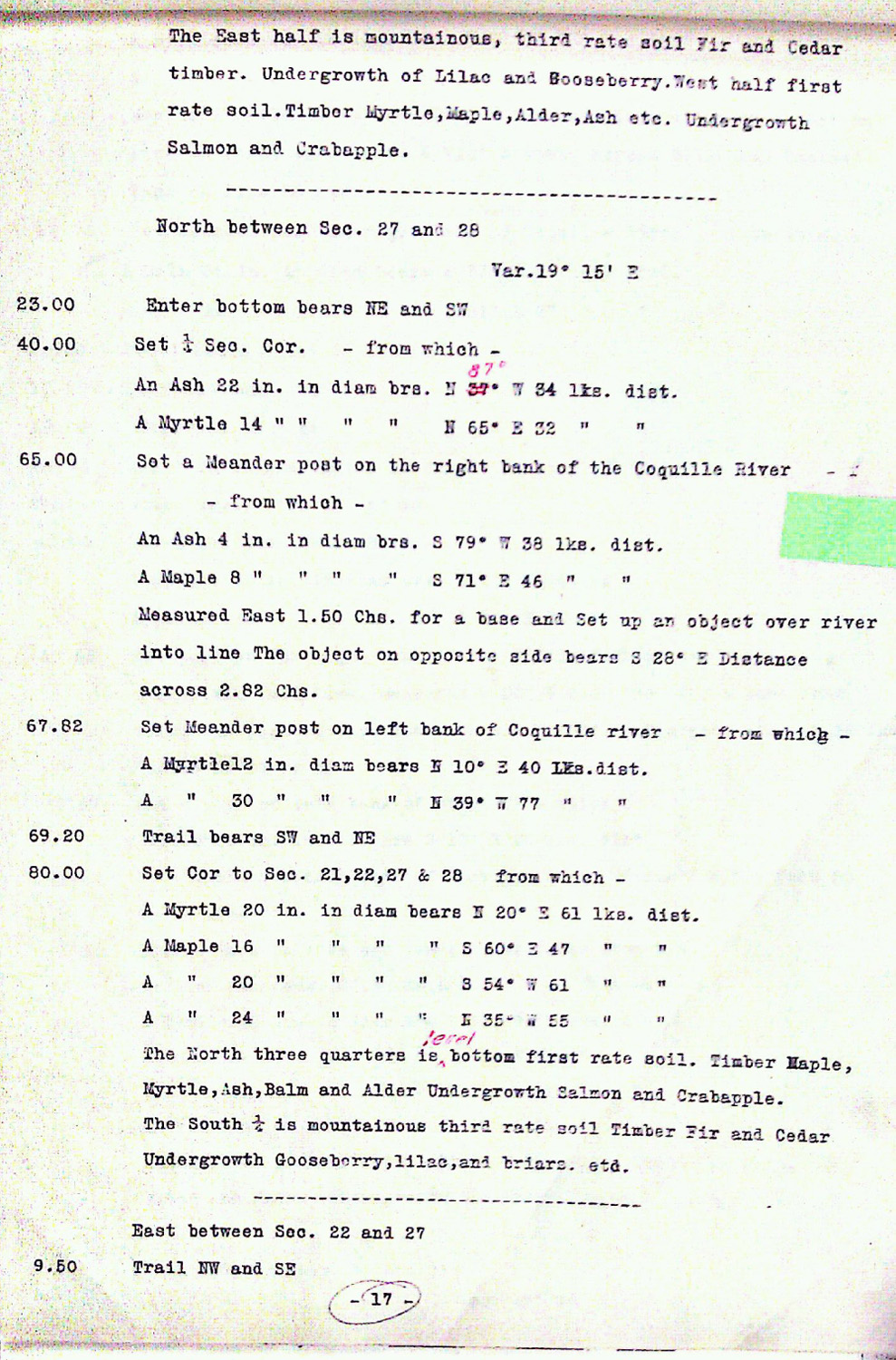
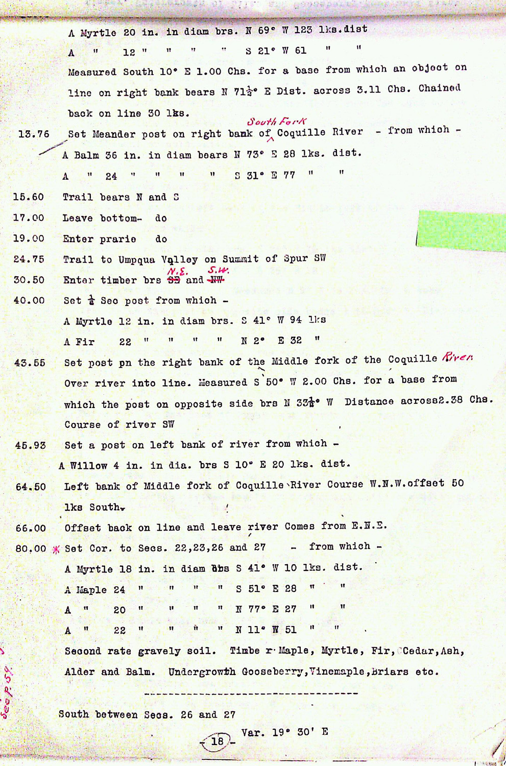
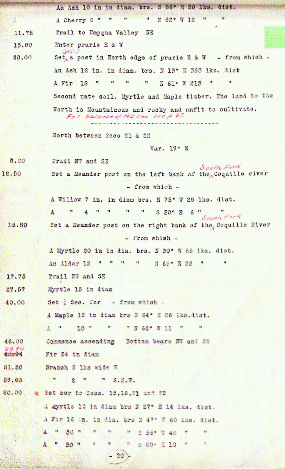
This township is entirely within the boundaries of the 2011-2012 Coquelle Trails Project. It includes Cribbins Hill, Catching Creek and Coquille River in the Bridge-Remote and South Fork Historical Districts. This survey was completed in 1858, 1859 and 1862, and mapped in 1859, 1862 and 1867 (Truax 1857; Buttolph 1861; Wright 1878; Wright 1882; Meldrum 1866). Donation Land Claims were filed by Ephraim Catching, John B. Dully, and John A. Harry.