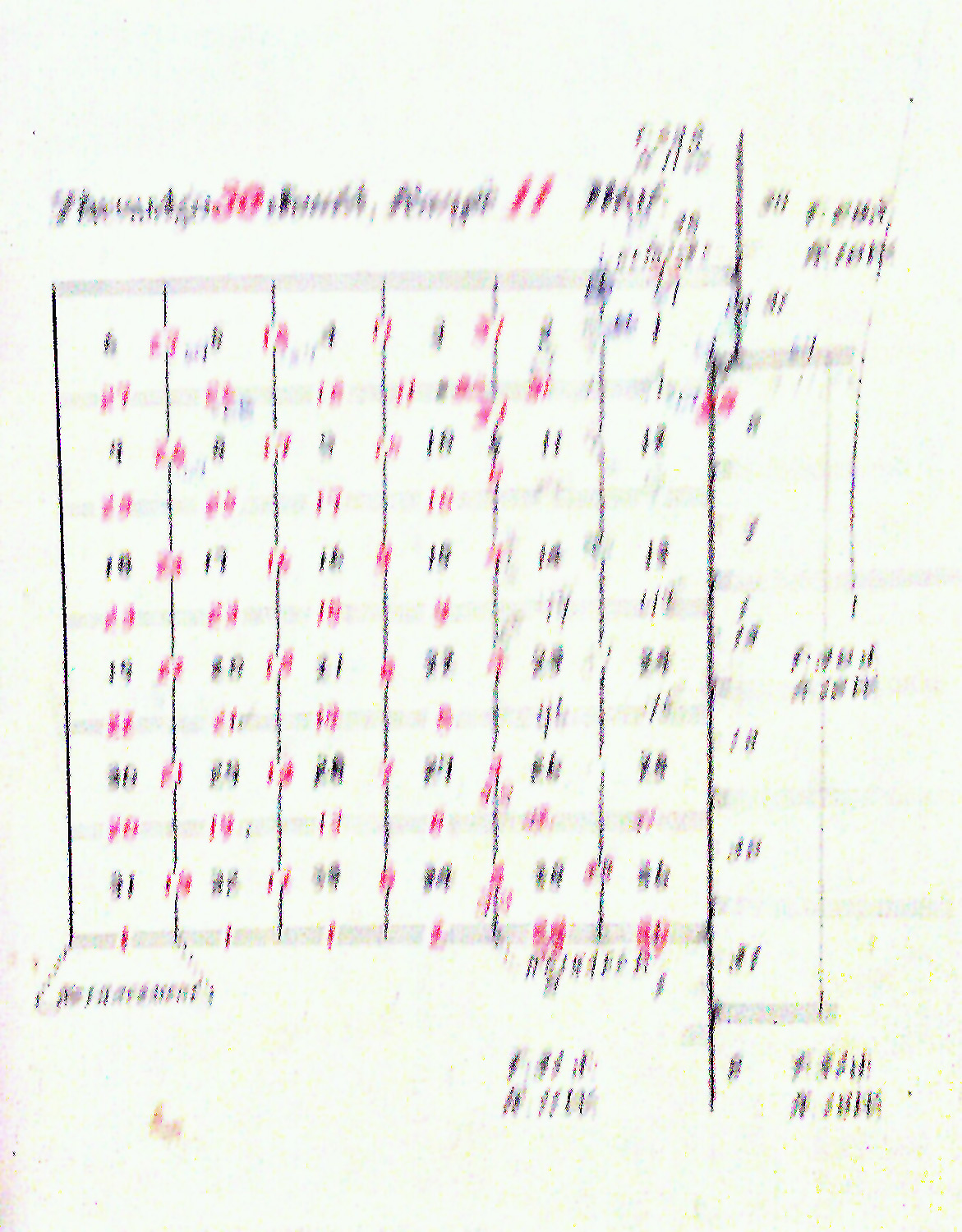
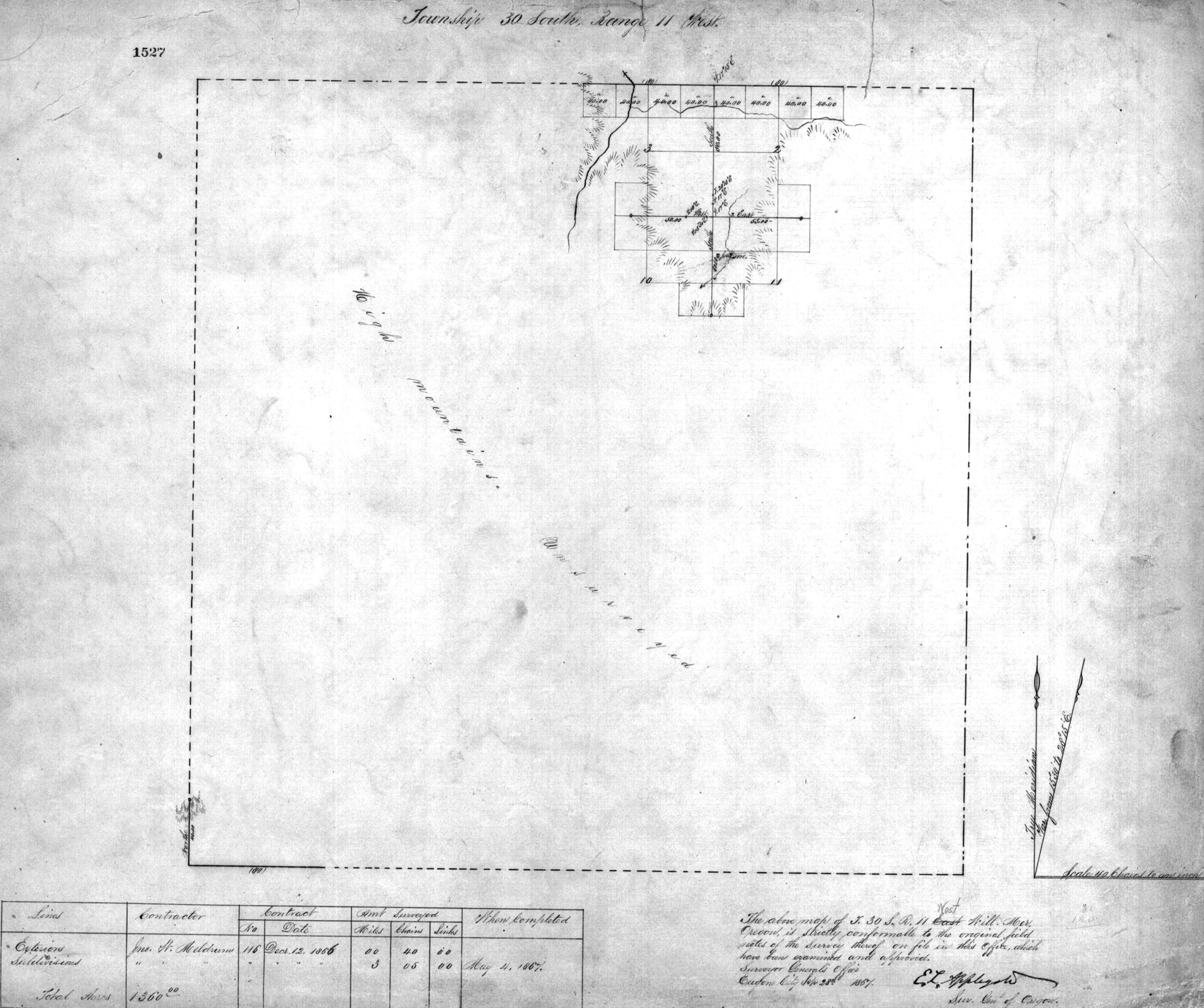
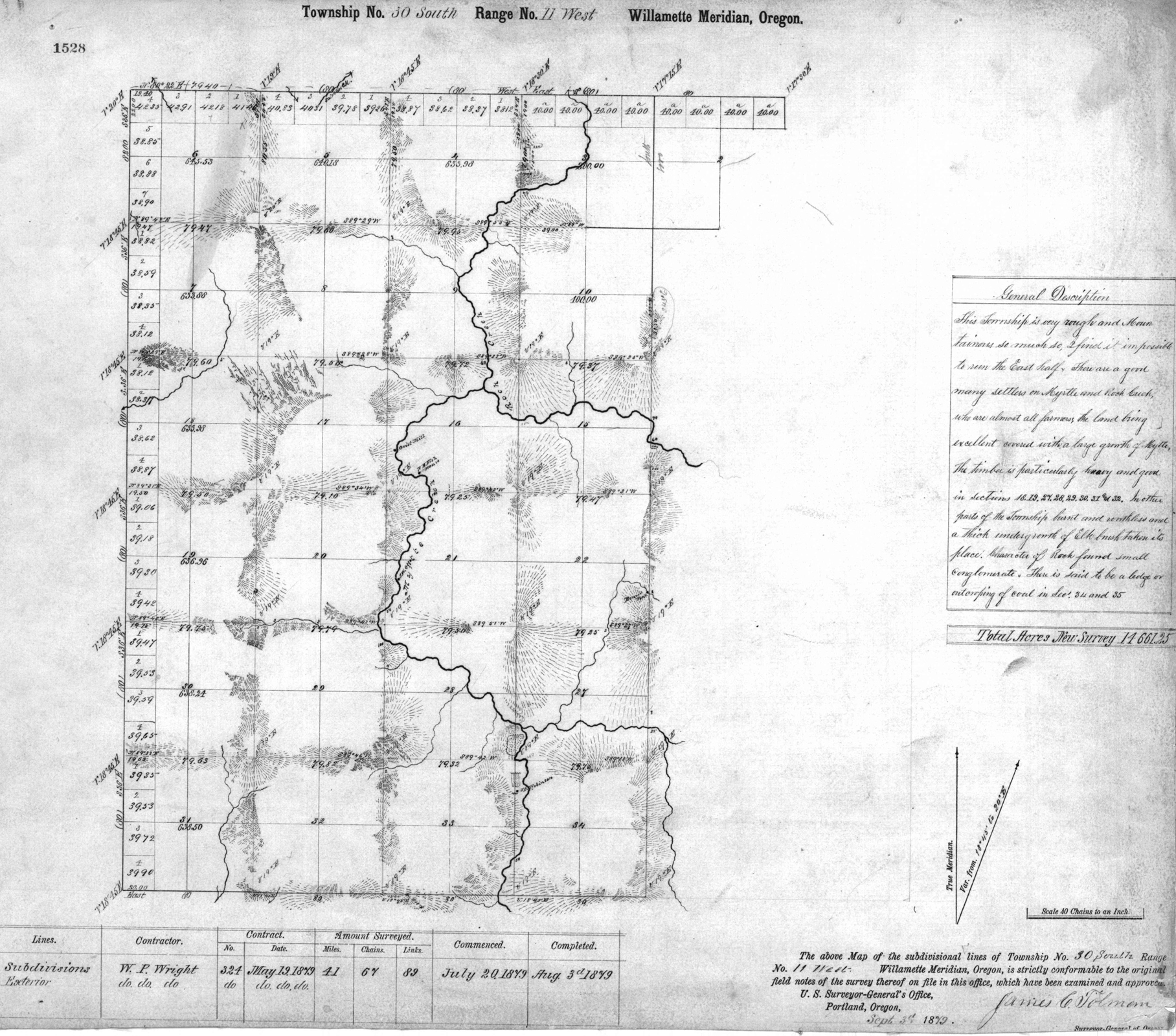
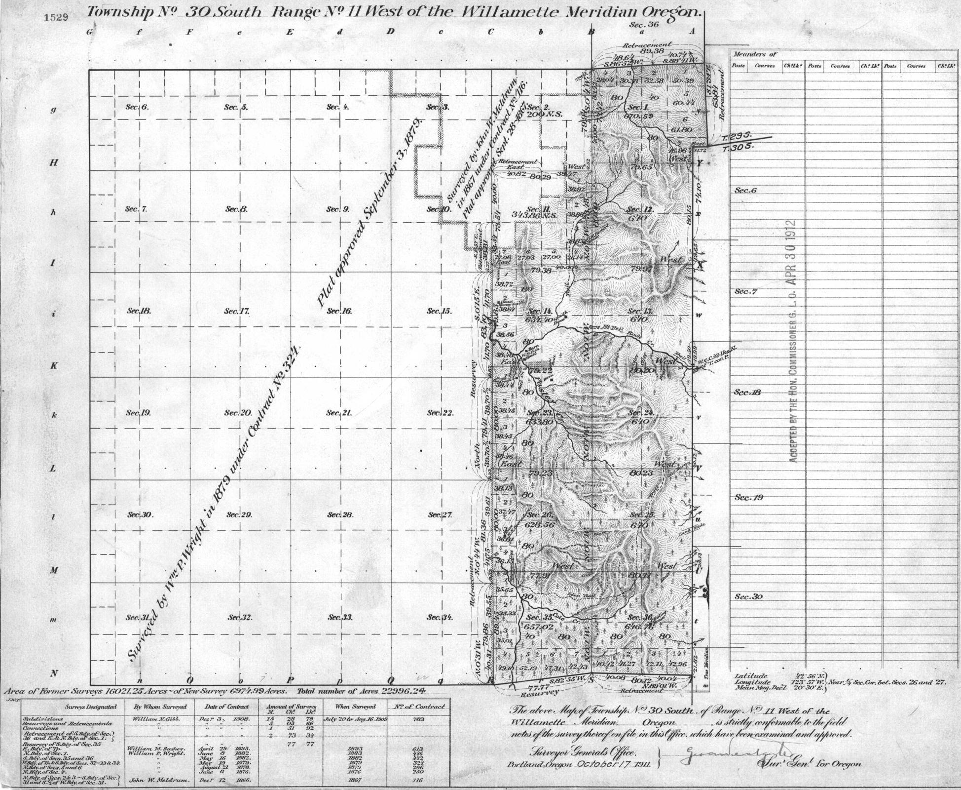
Tsp. 30 S., Rng. 11 W.
General Land Office Survey Index
 |
 |
 |
 |
 |
 |
 |
1867 GLO |
1879 GLO |
1911 GLO |
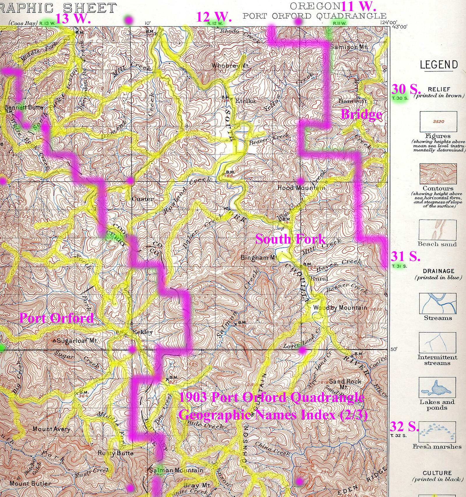
1903 Annotated USGS Port Orford |
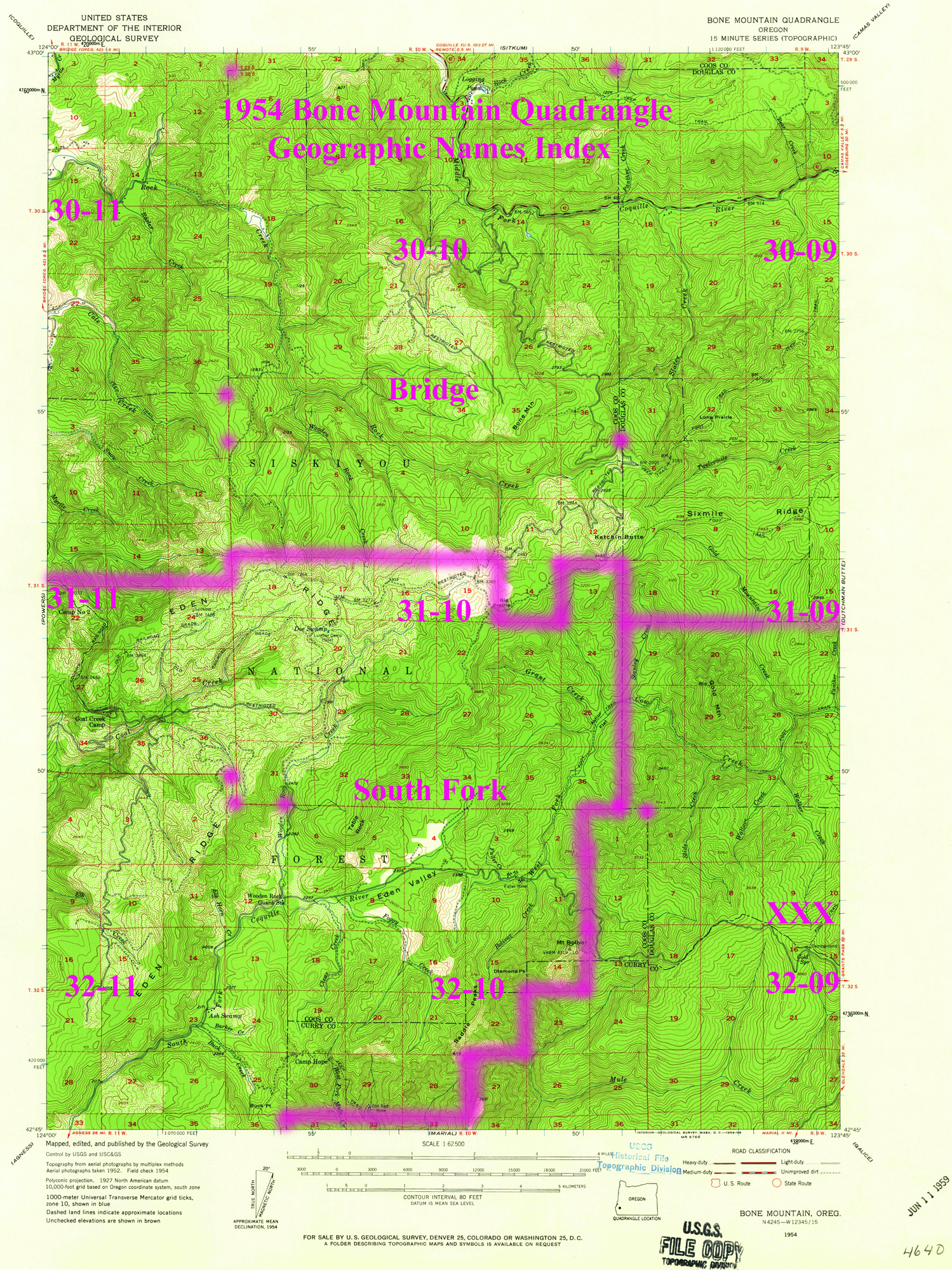
1954 Annotated USGS Bone Mountain |
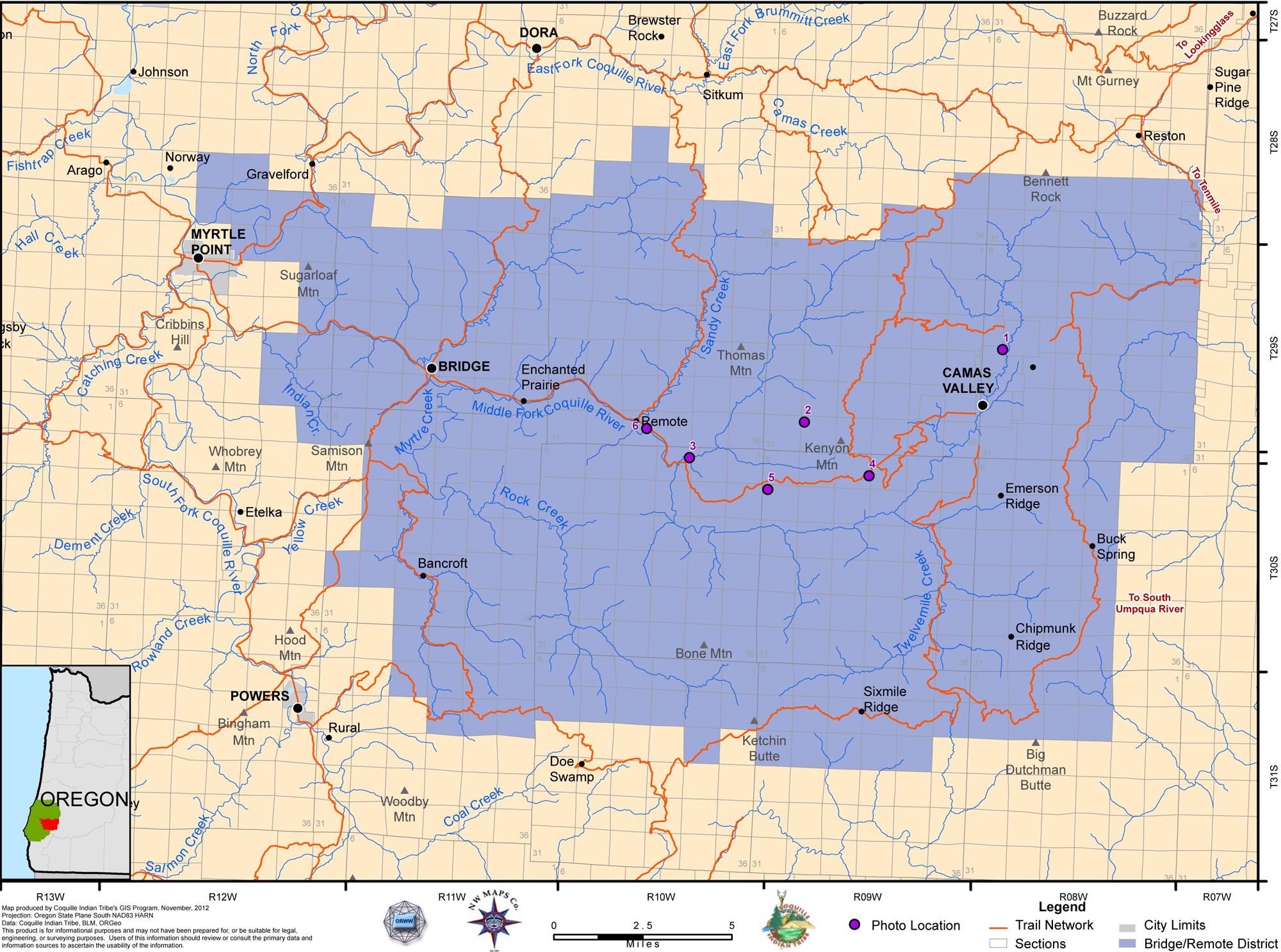
2012 Bridge-Remote District |
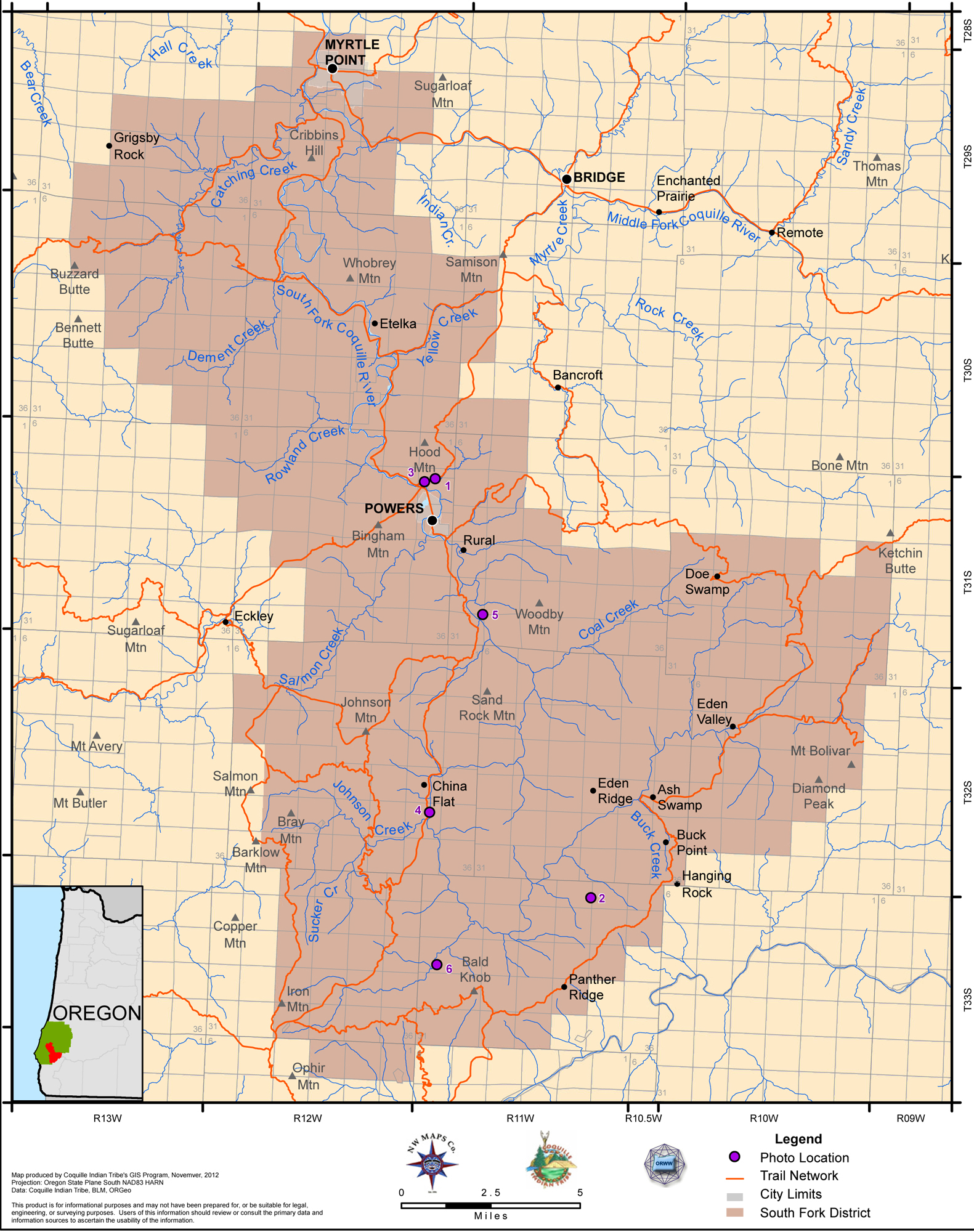
2012 South Fork District |
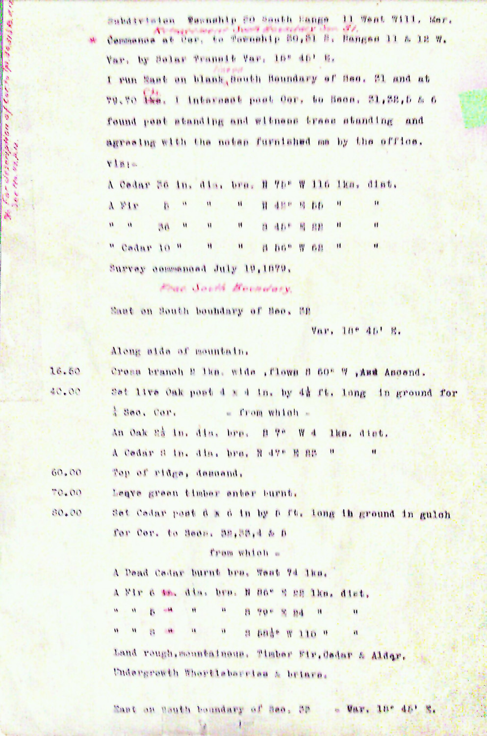
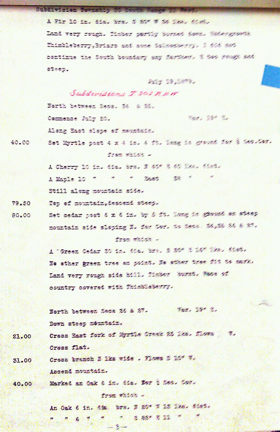
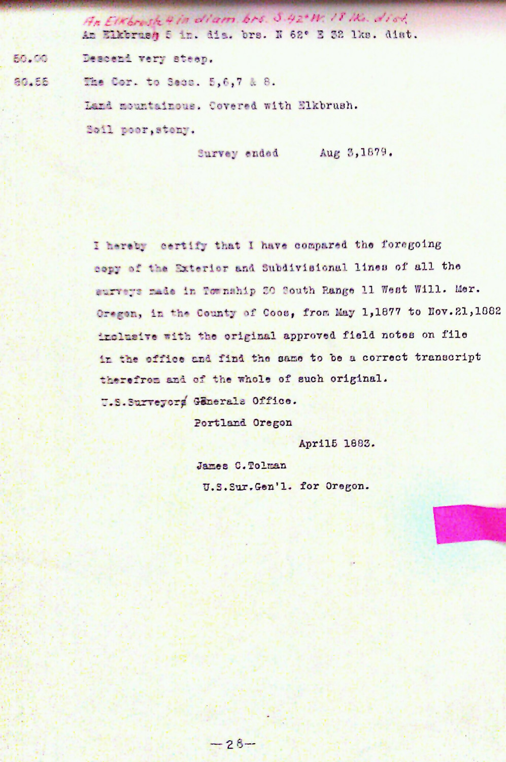
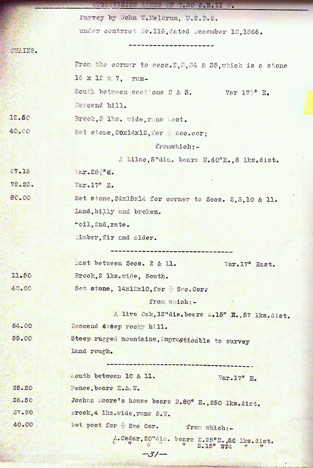
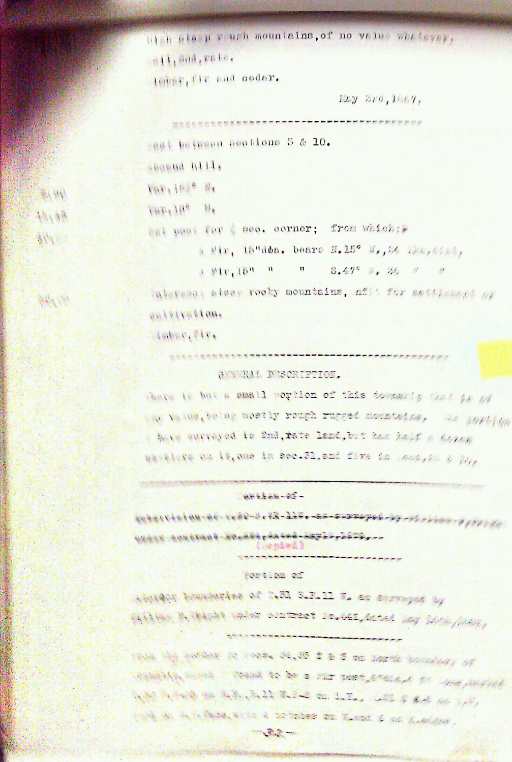
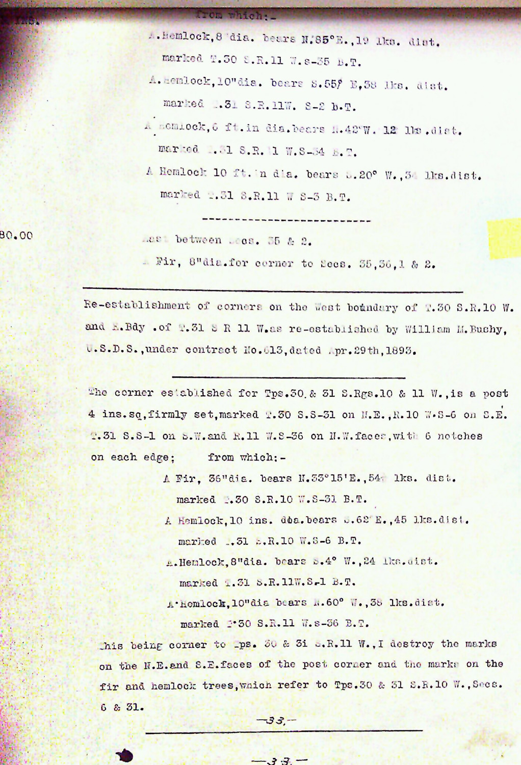
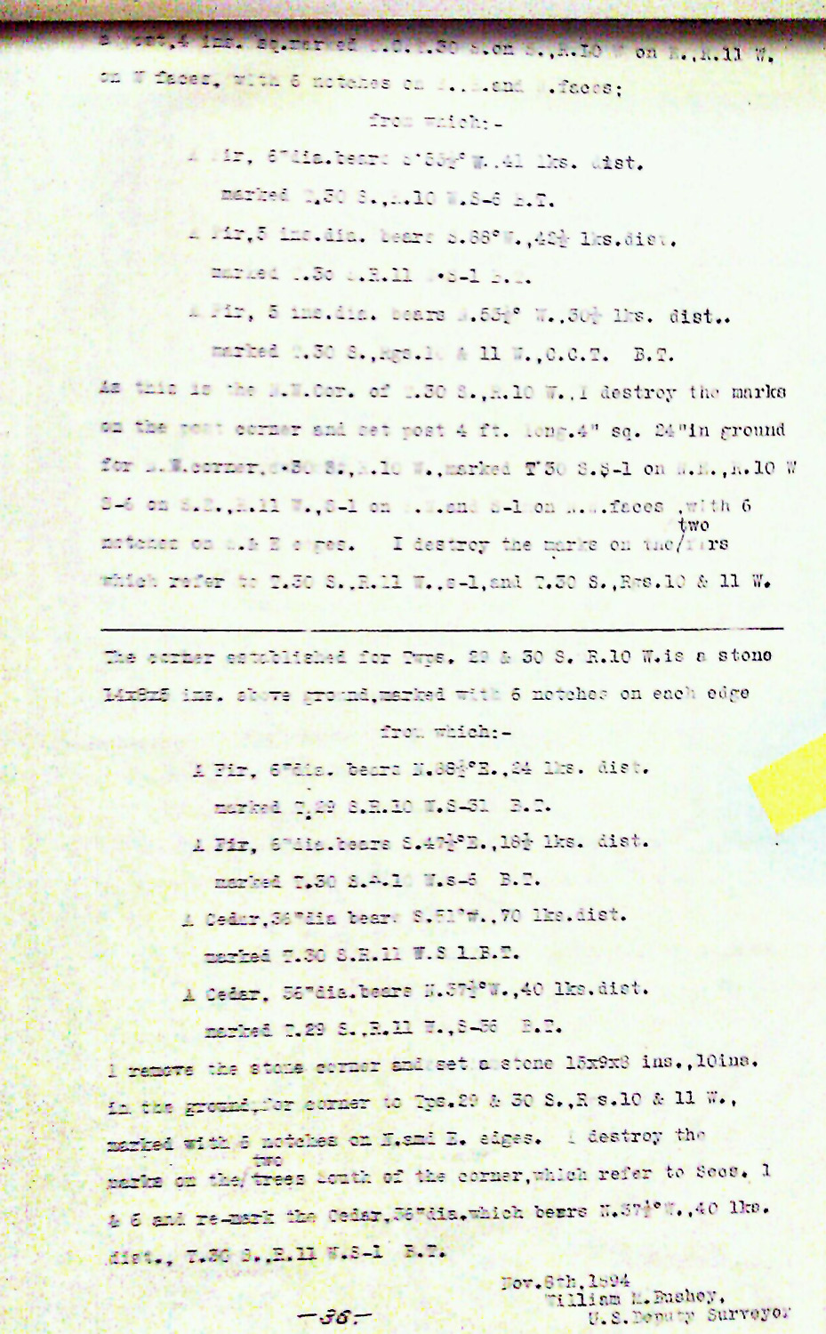
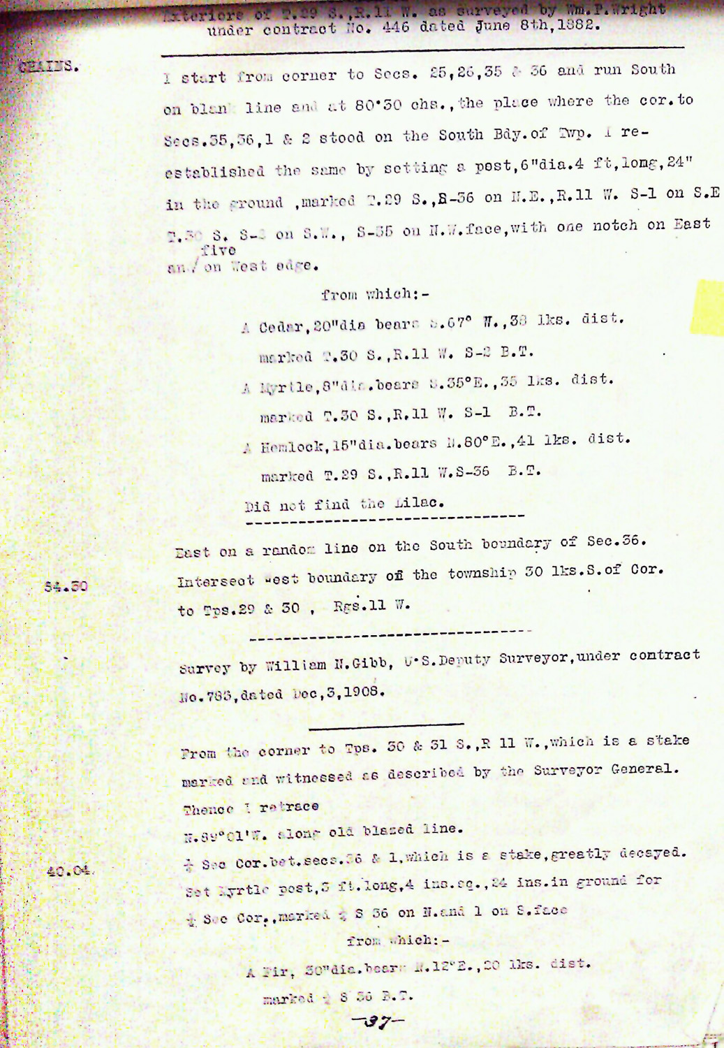
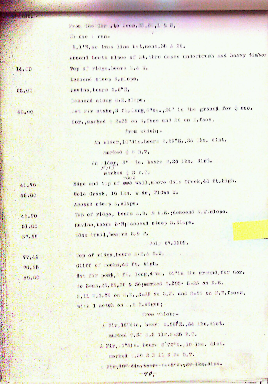
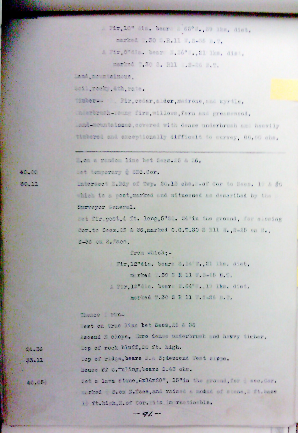
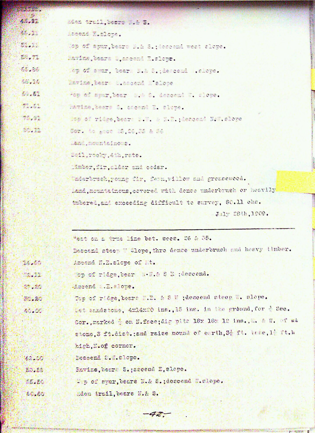
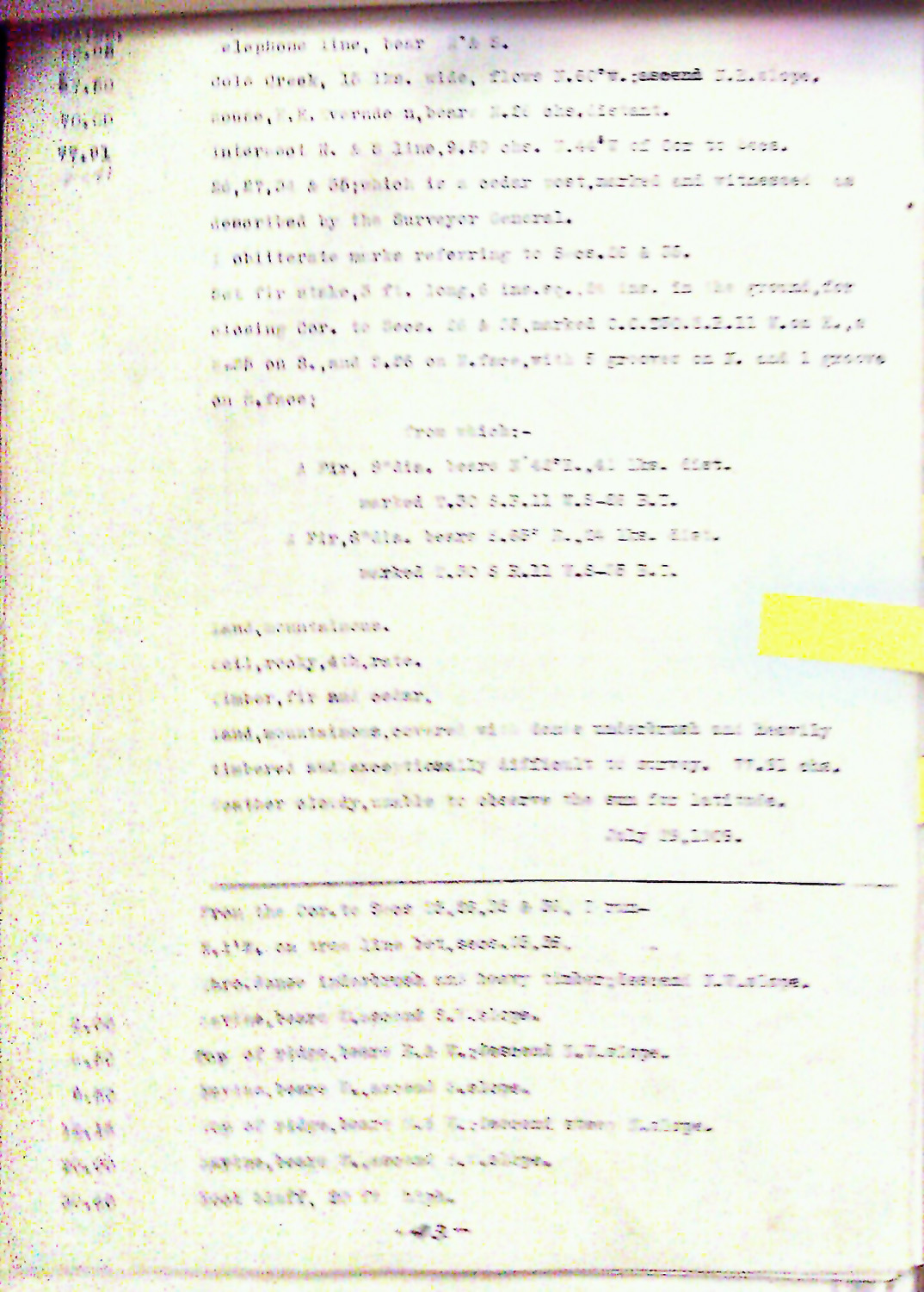
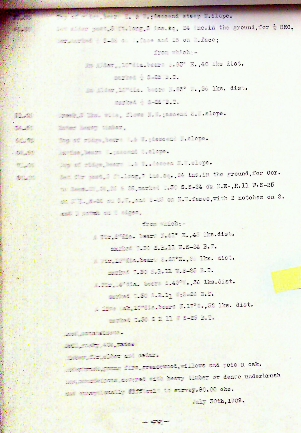
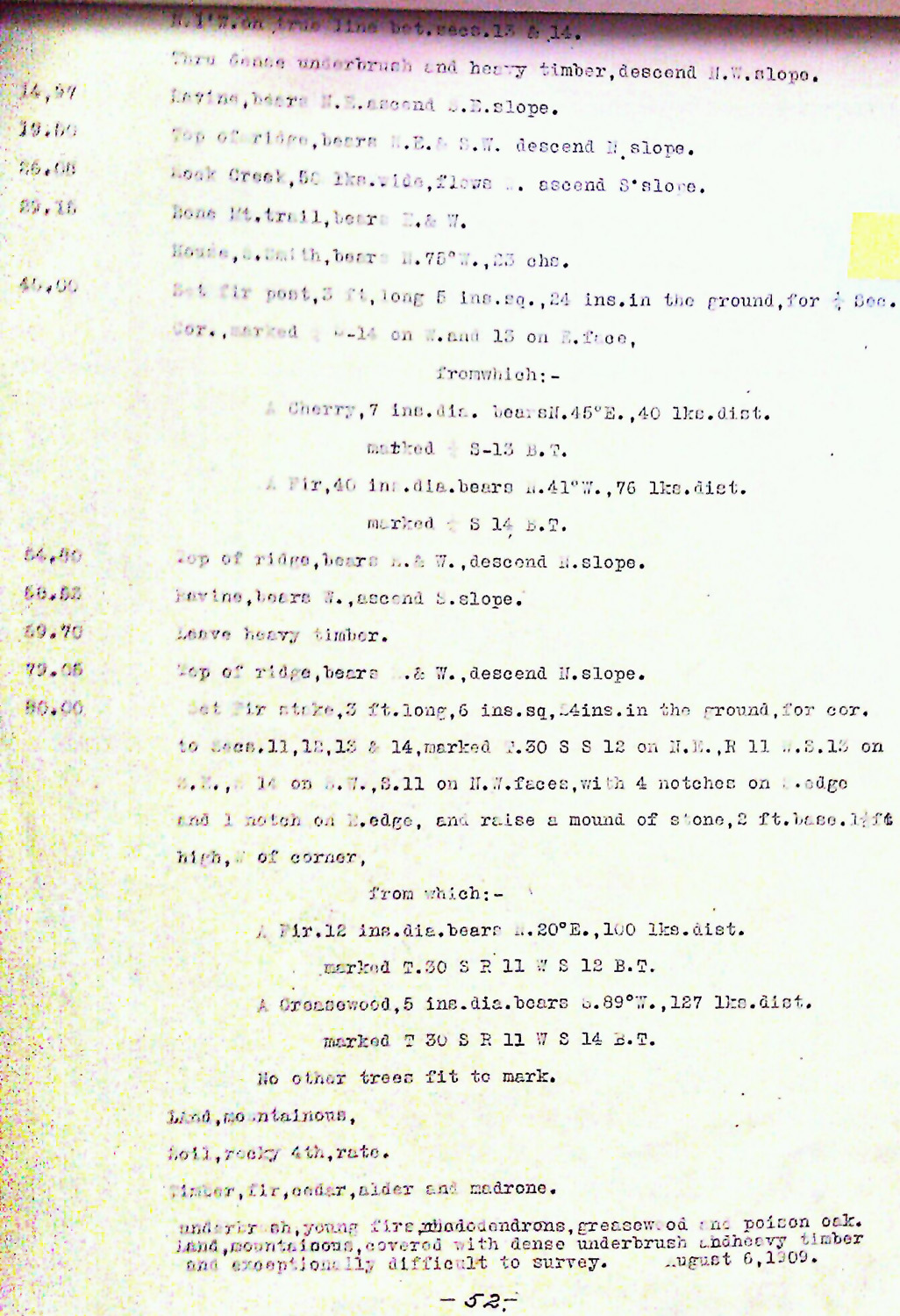
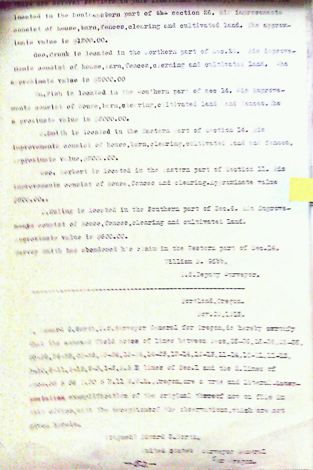
This township is entirely within the boundaries of the 2011-2012 Coquelle Trails Project. It includes Samison Mountain, Myrtle Creek and Coquille River in the Bridge-Remote and South Fork Historical Districts. This survey was completed in 1867, 1876, 1879, 1882, 1893, 1909 and mapped in 1867, 1879, 1911 (Meldrum 1866; Wright 1876; Wright 1878; Wright 1879; Wright 1882a; Wright 1882b; Bushey 1893; Gibb 1909).
![]()