 |
 |
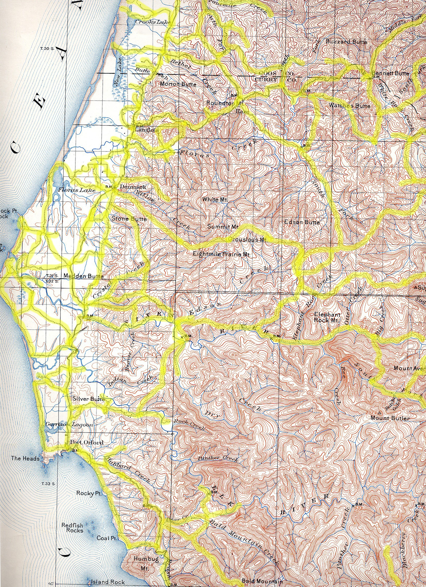
1898 USGS 30-minute Coos Bay Quadrangle Map (click to enlarge). |
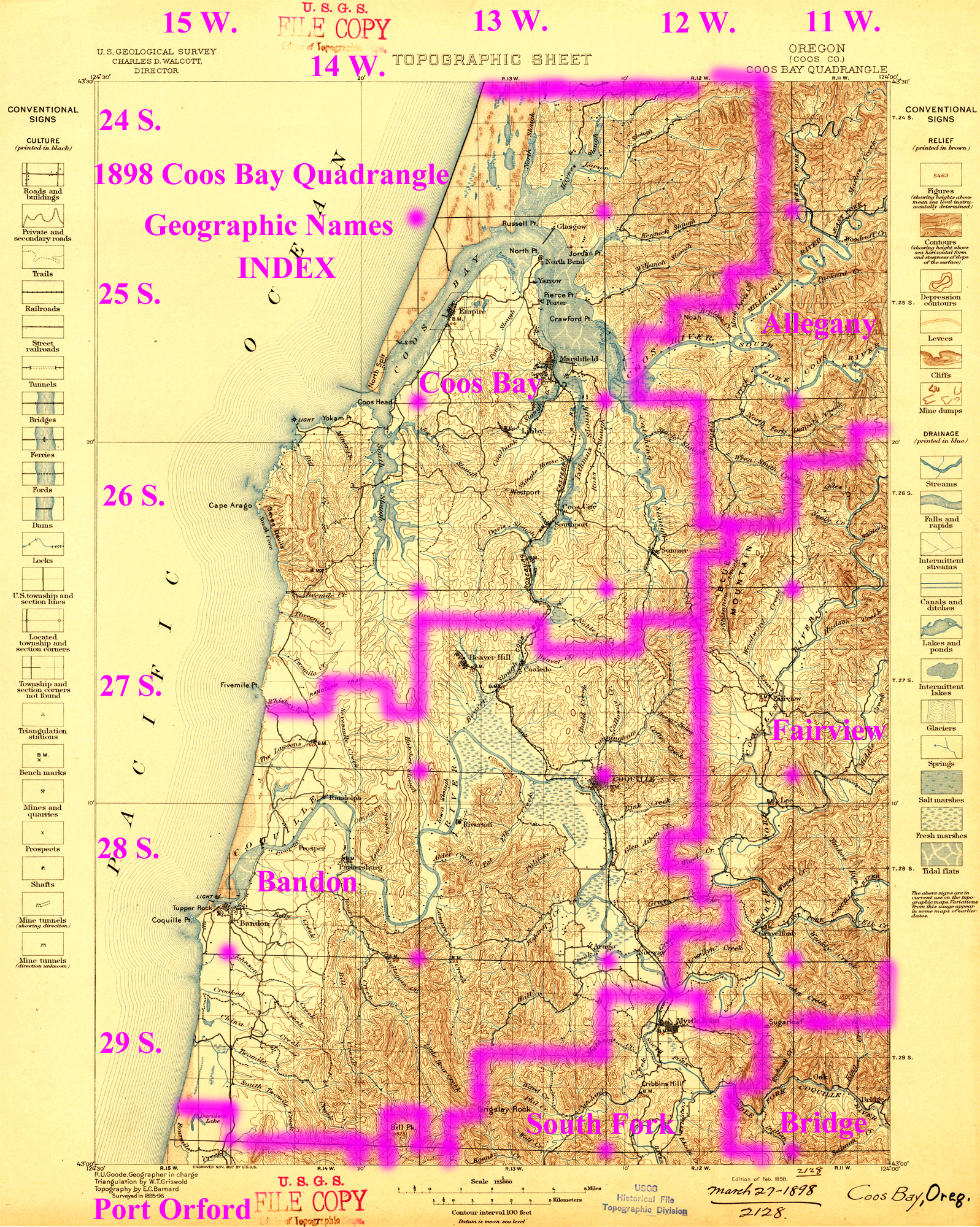
Annotated 1898 USGS 30' Quadrangle Map: Historical Place
Names Index. |
Historical US Geological Survey Quadrangle Maps
|
|
1898 USGS 30-minute Coos Bay Quadrangle Map (click to enlarge). |
Annotated 1898 USGS 30' Quadrangle Map: Historical Place
Names Index. |
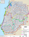
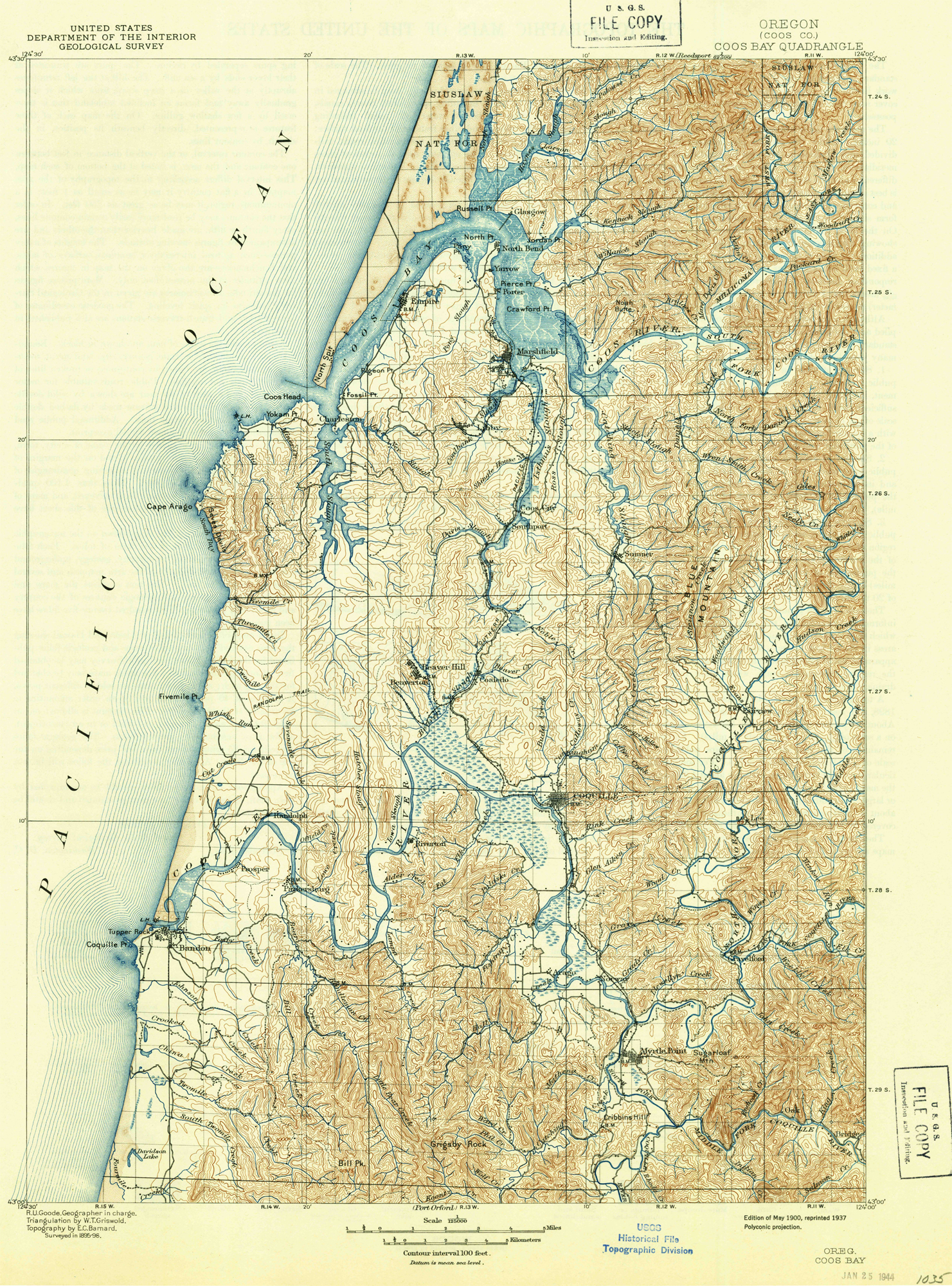
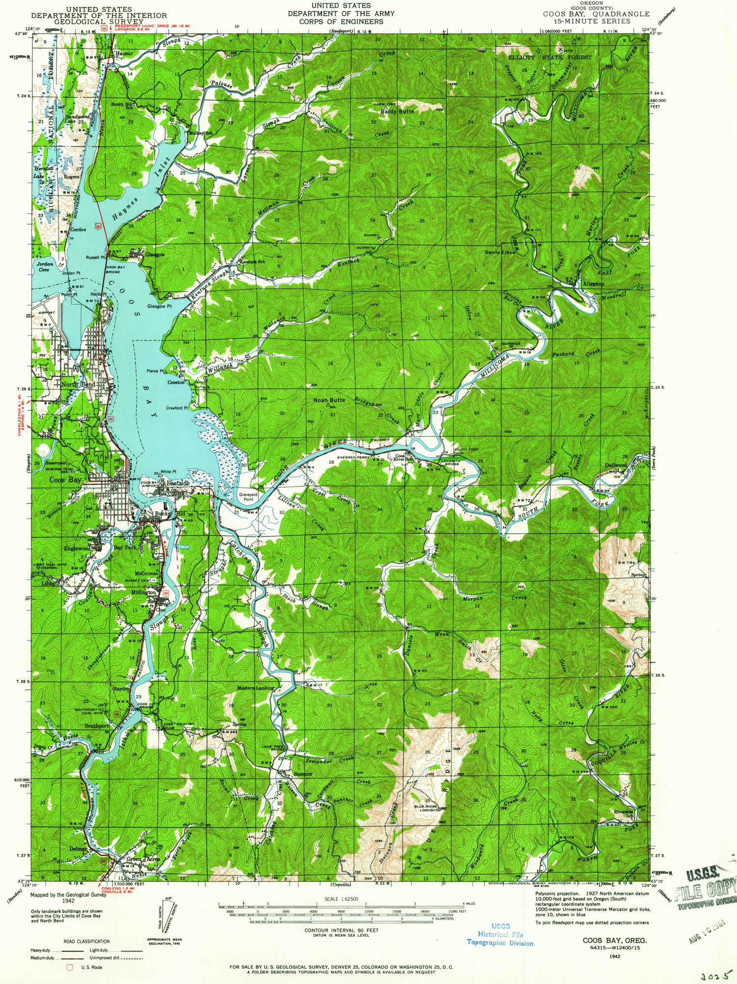
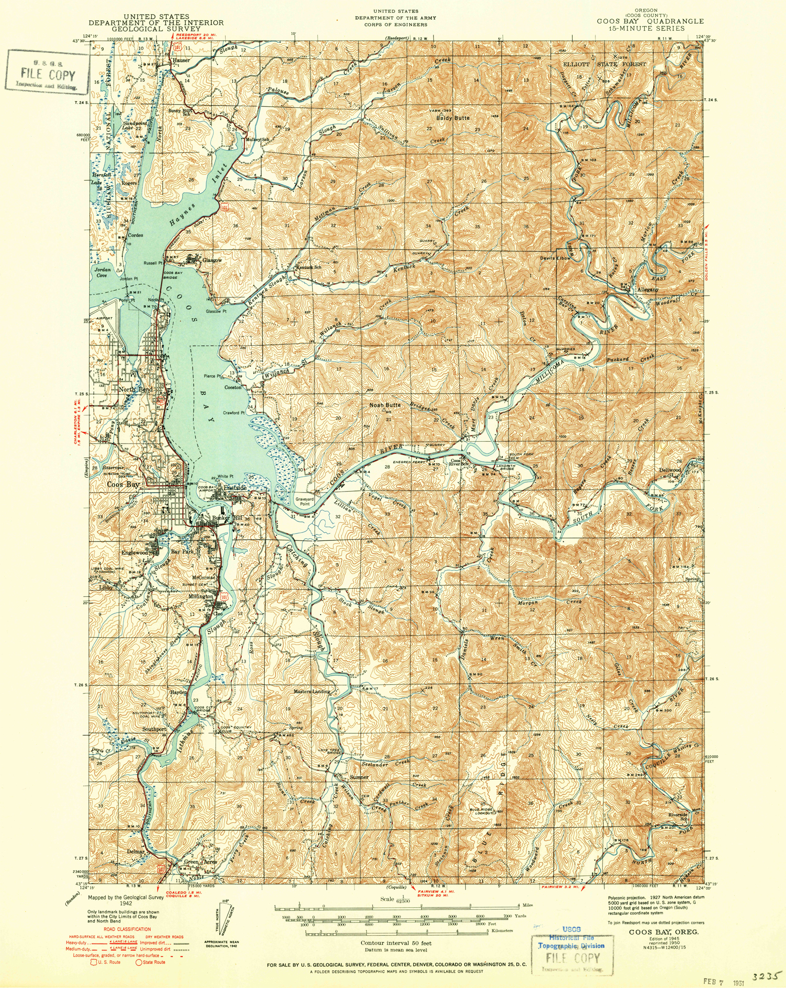
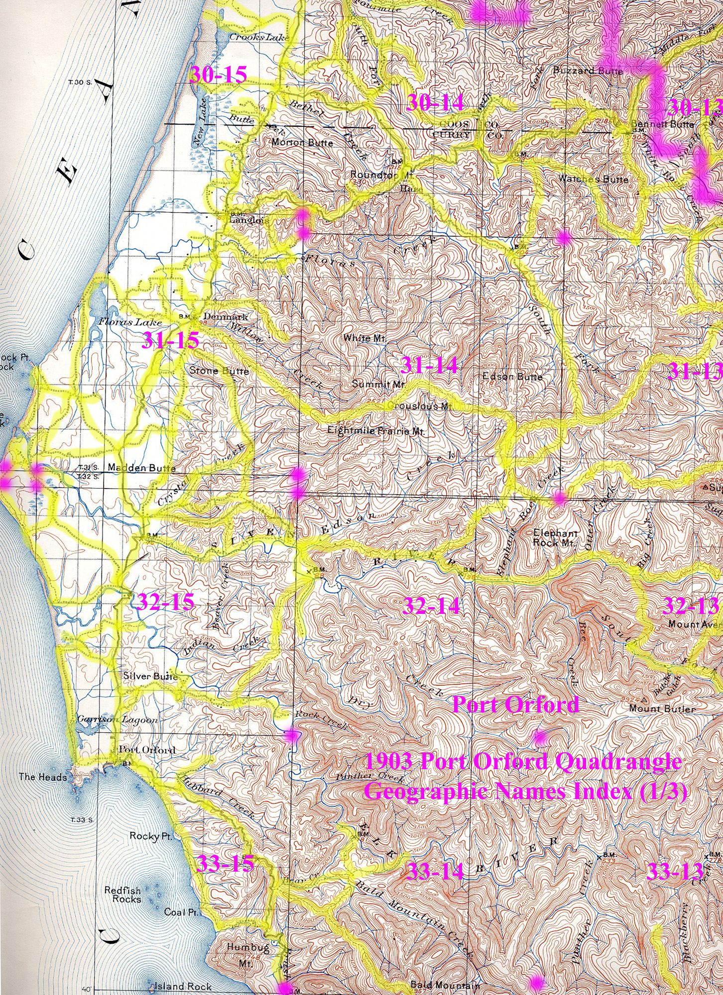
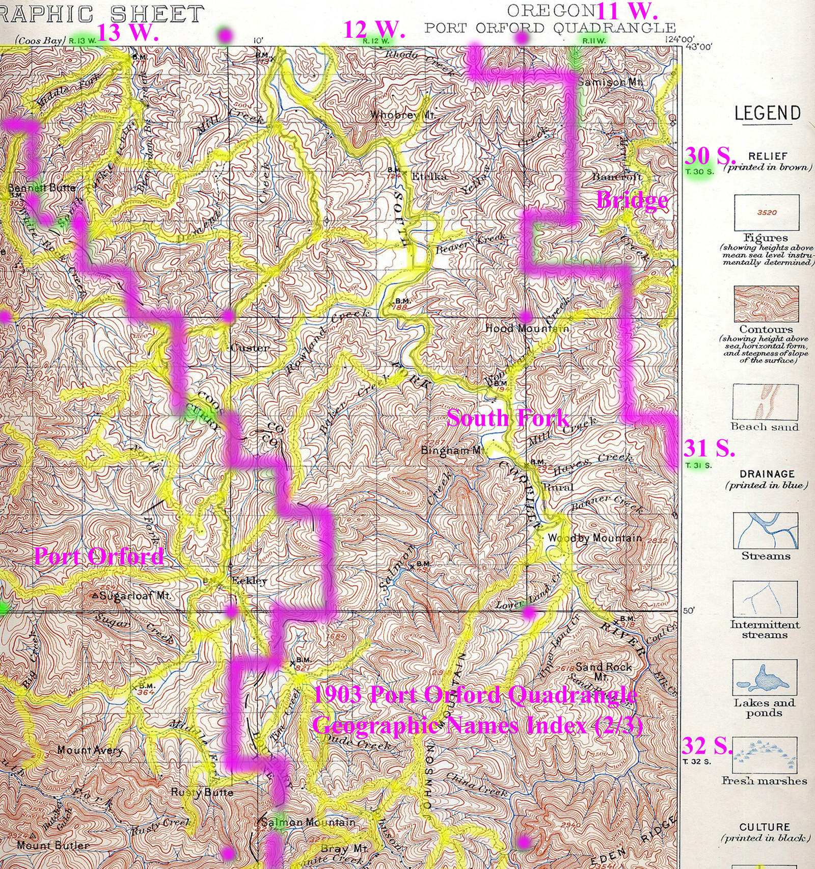
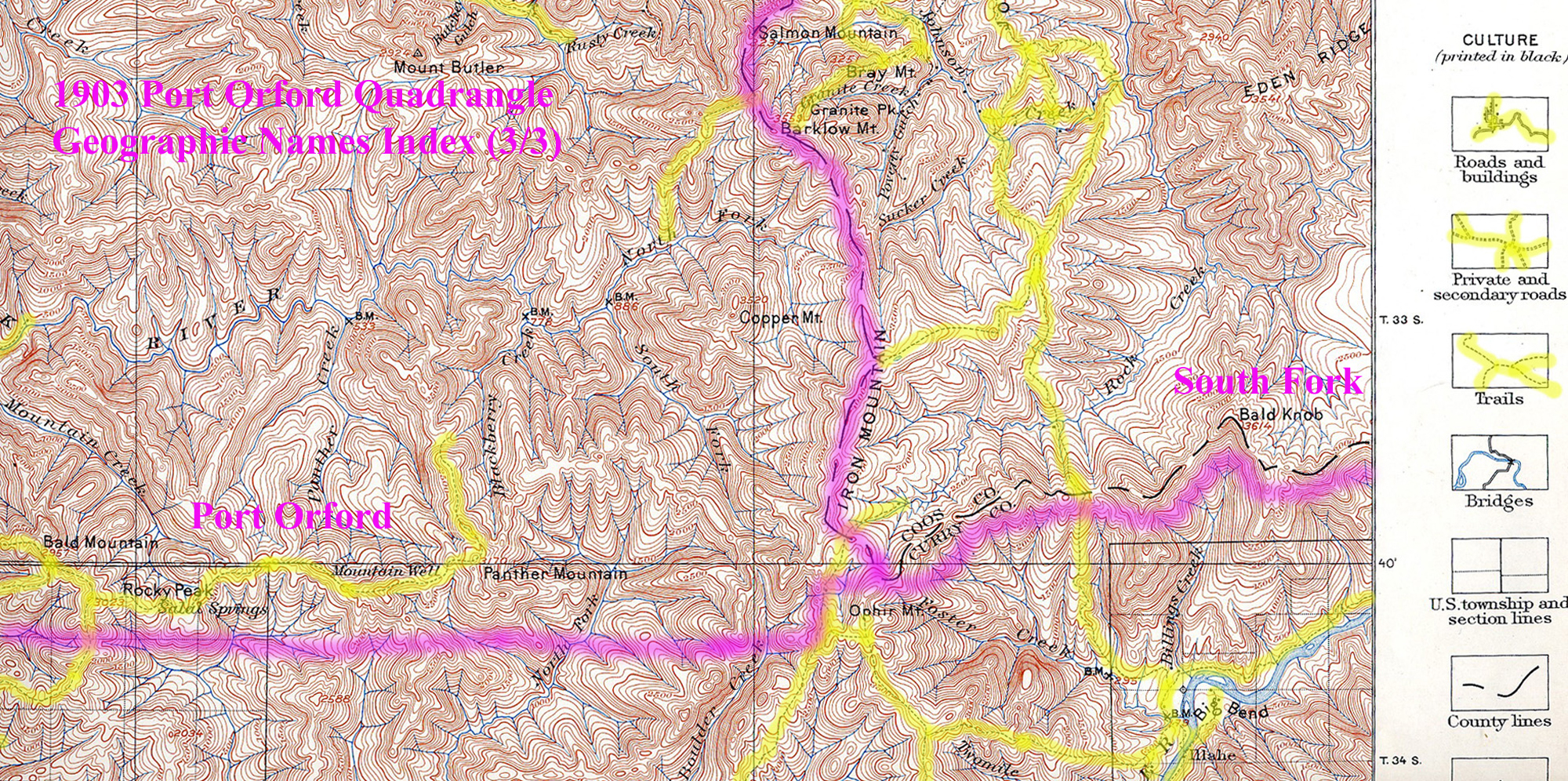
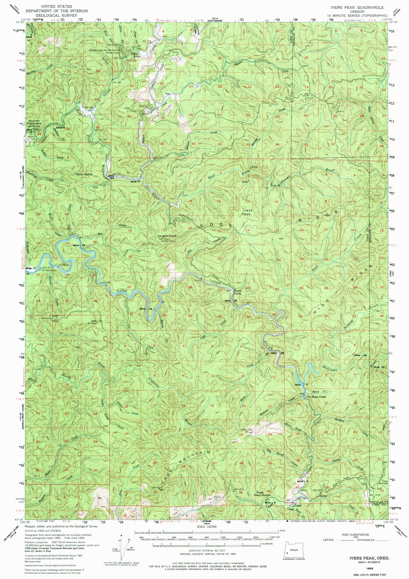
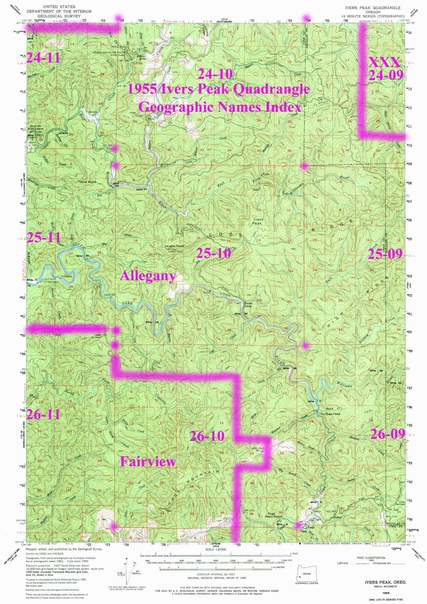
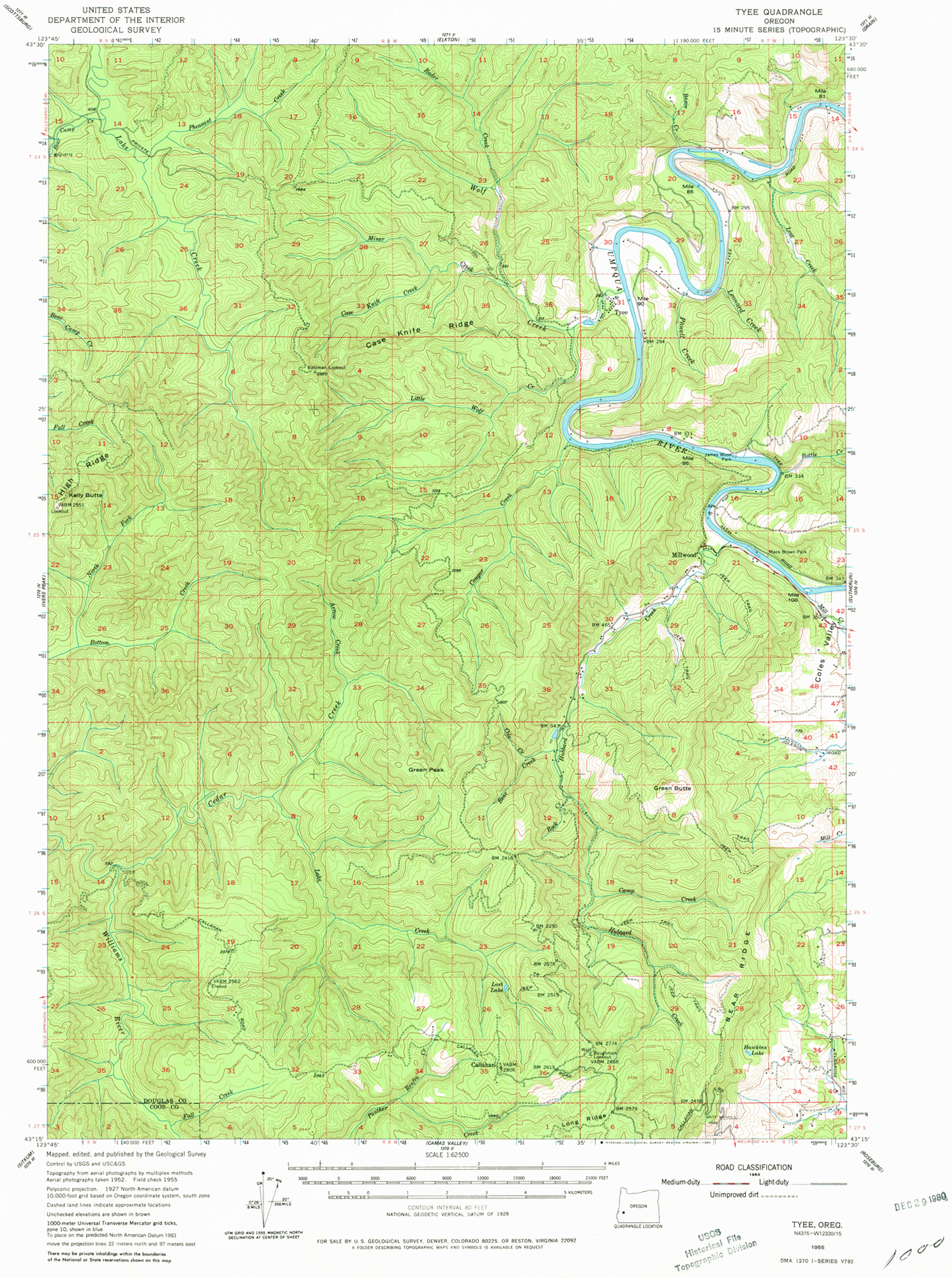
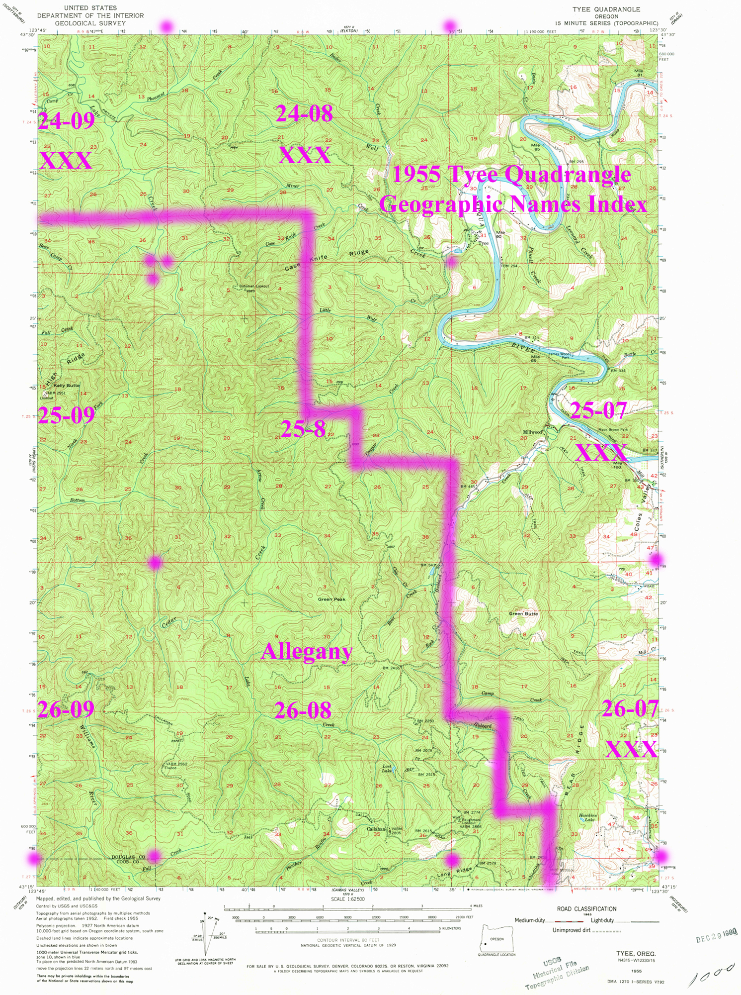
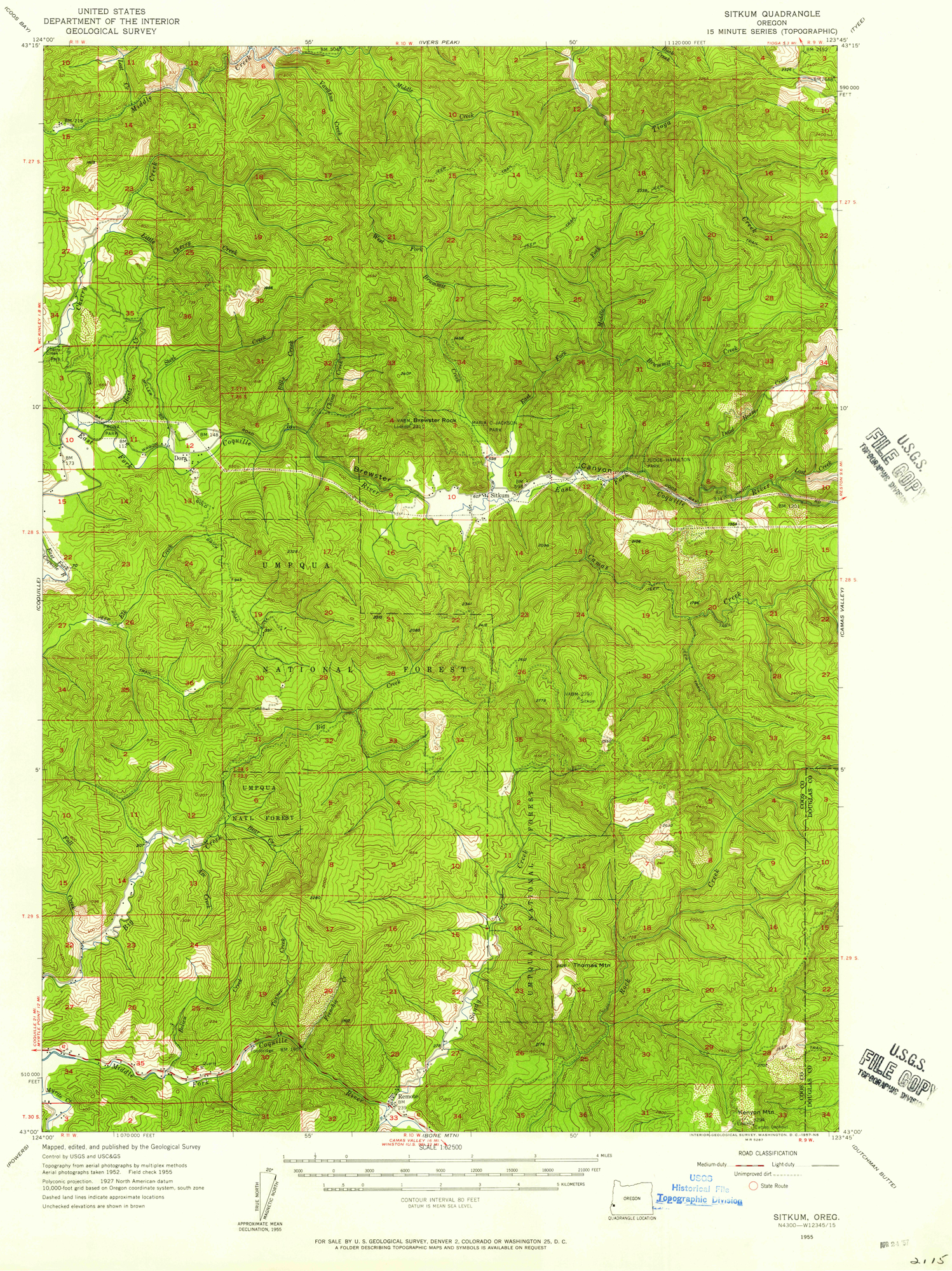
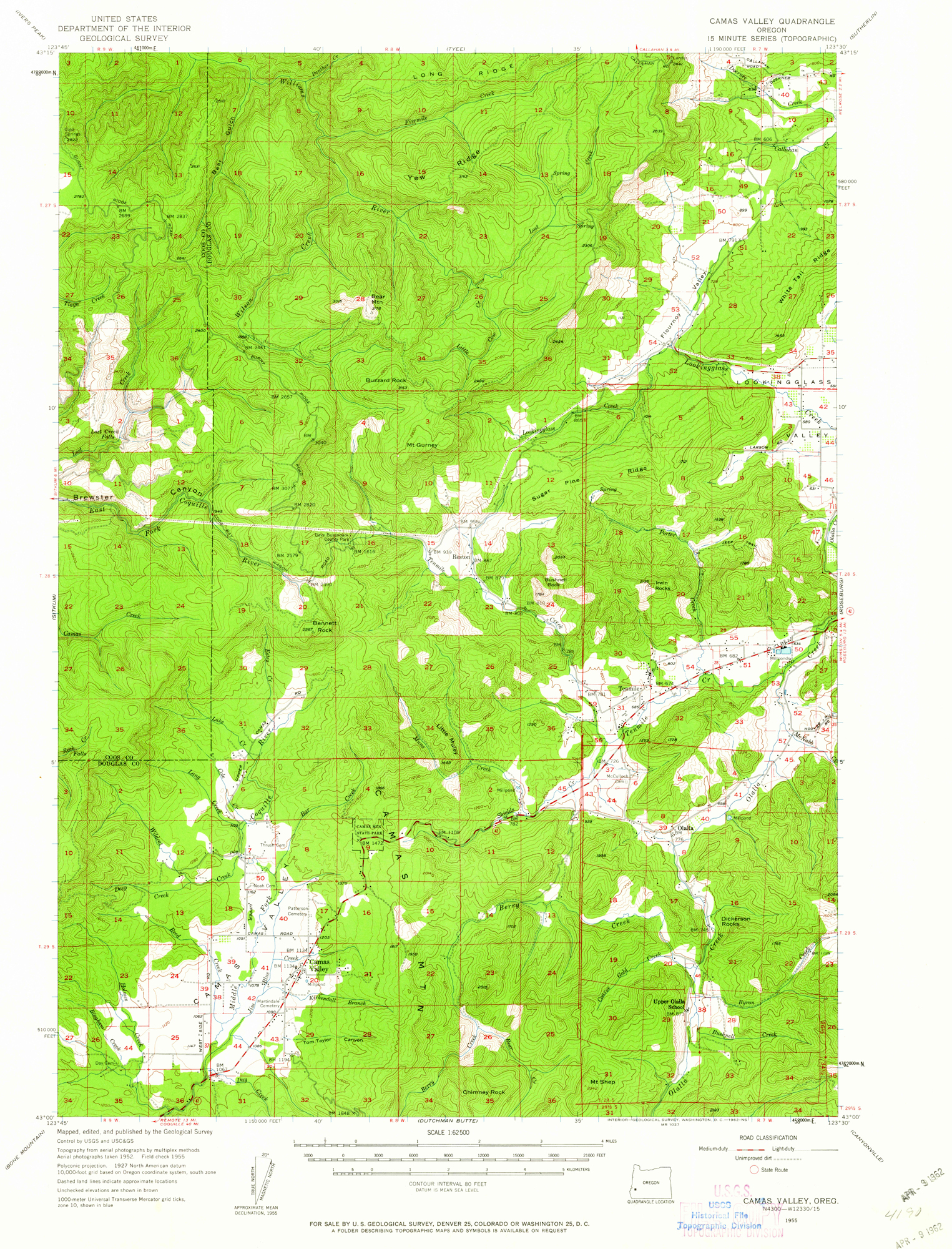
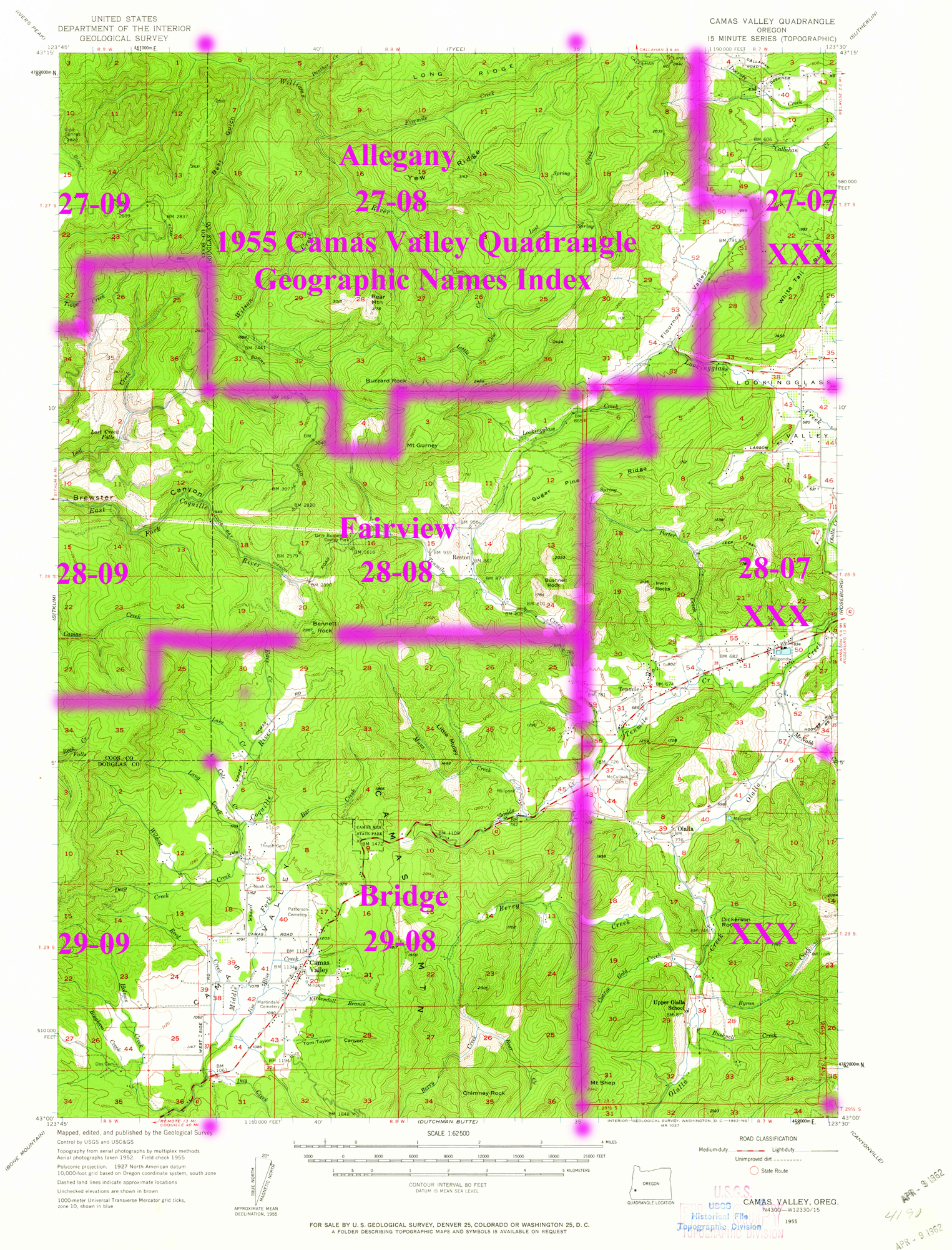
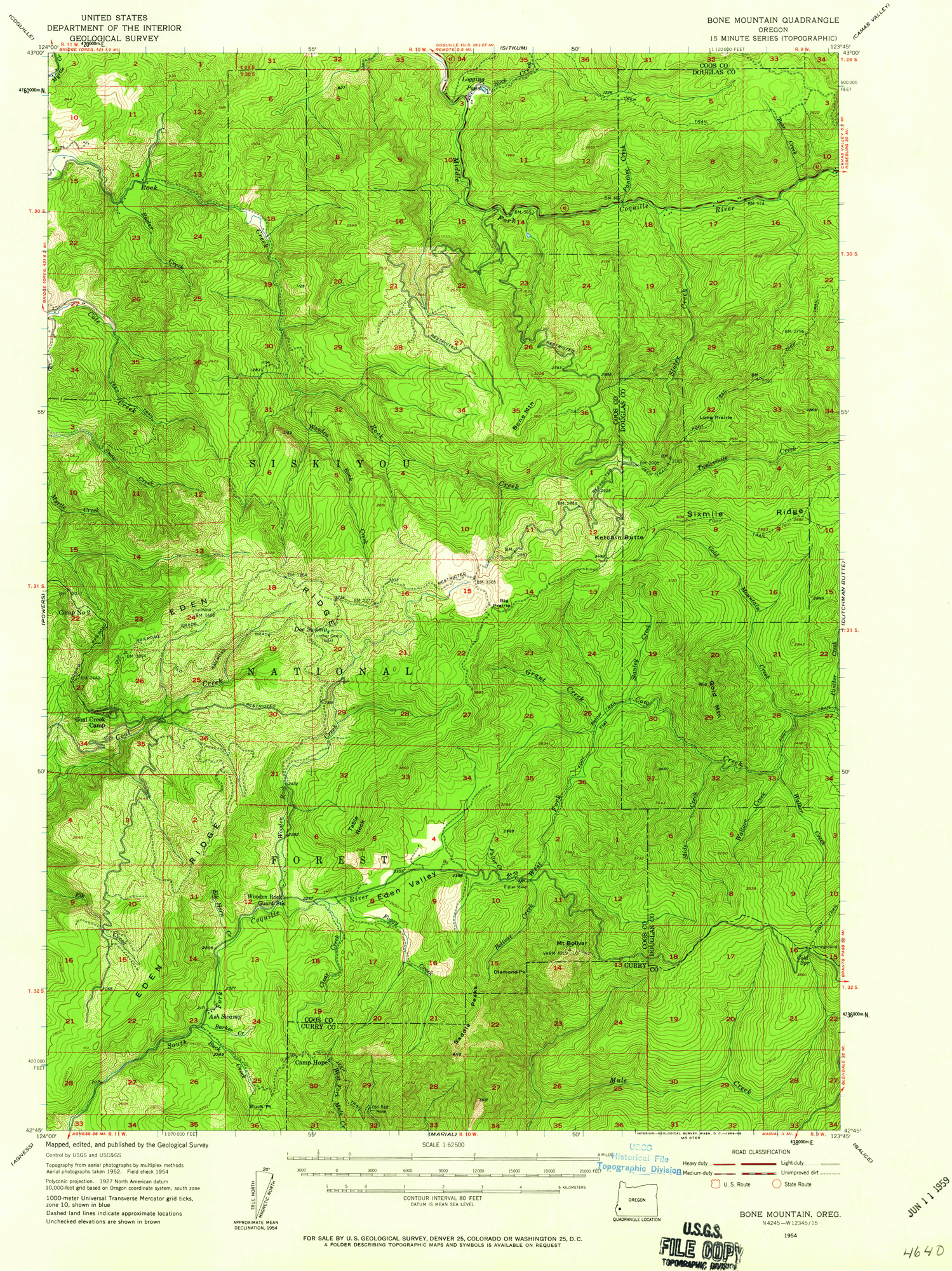
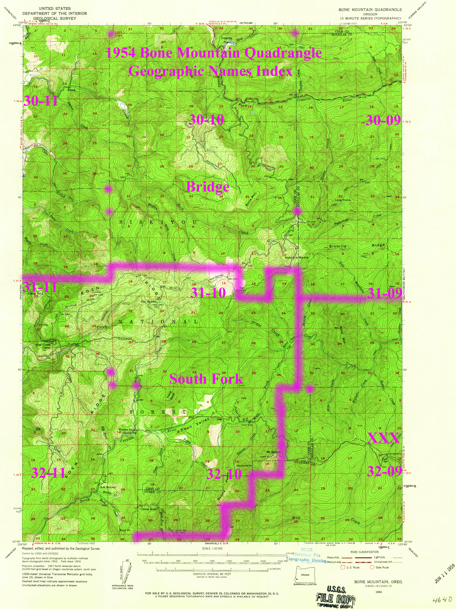
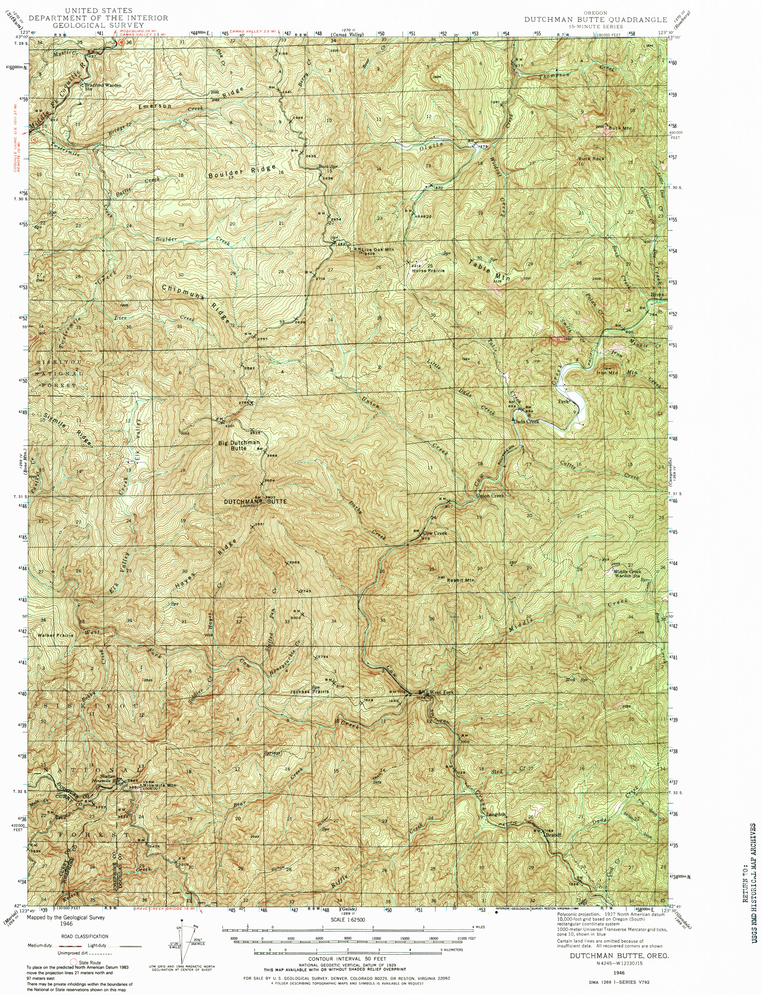
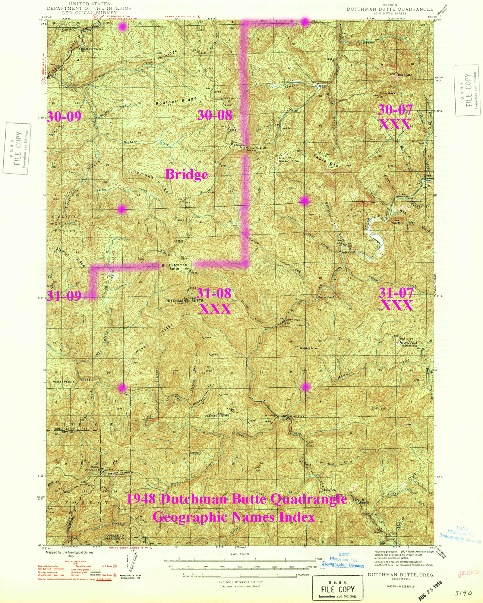
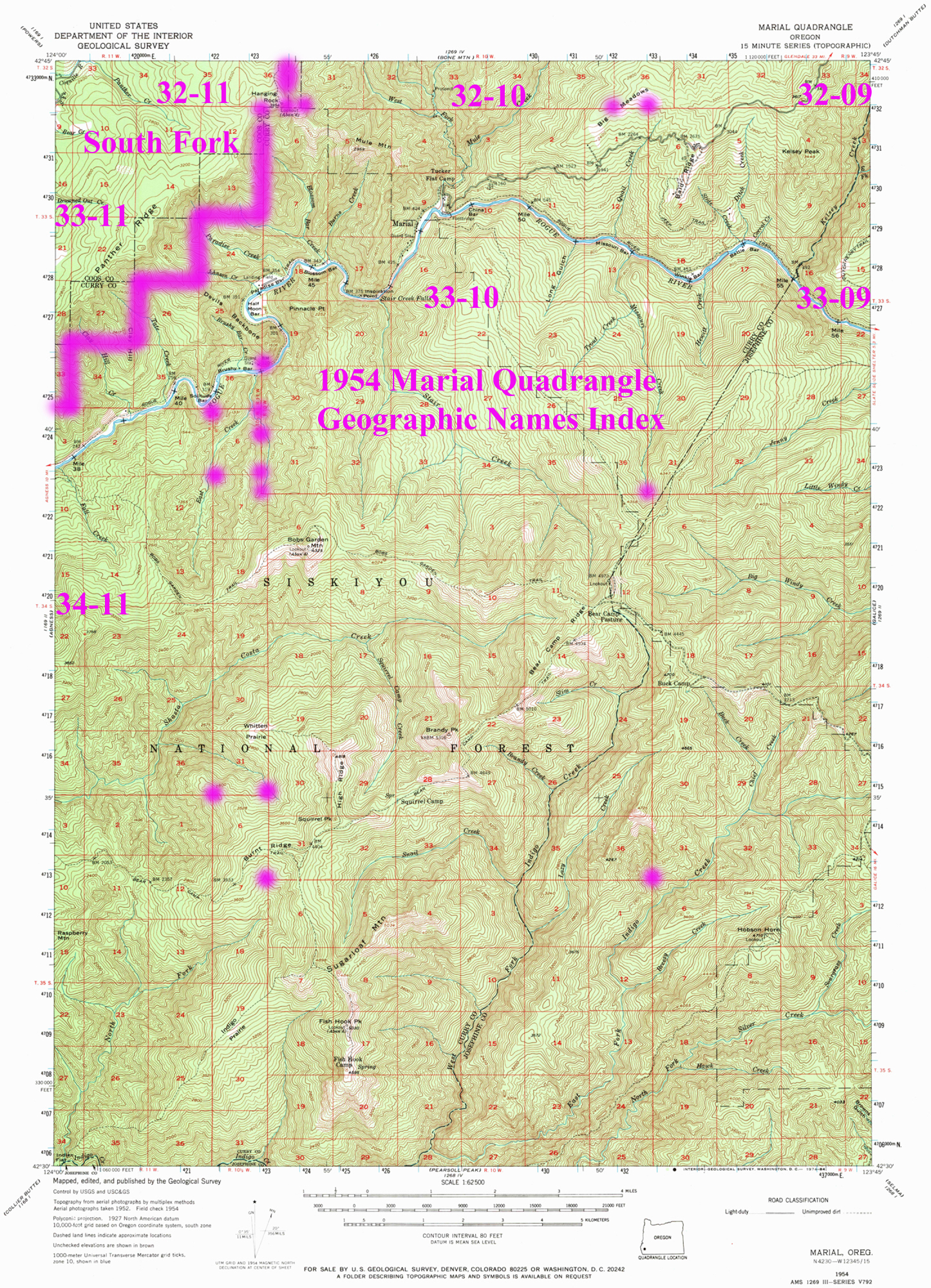
These are the digitized versions of the original USGS 30-minute and 15-minute Quadrangle maps for the study area. These maps were principally used to document historical place names for the project's written references and indices, and to help confirm the time and locations of various historical roads and trails.
The maps are provided in two formats: the first is an actual scan (often with subsequent annotations) of the original map itself; and the second is an annotated version of the same map, providing an index to Coquelle Trail Historical District maps, and to the XLS and PDF files on which they are based.
|
 |
 |
 |
 |
1898 Coos Bay 30' Quadrangle |
1898 Coos Bay 30' Quadrangle (Annotated) |
1900 Coos Bay 30' Quadrangle |
1942 Coos Bay 15' Quadrangle |
1945 Coos Bay 15' Quadrangle |
|
 |
 |
 |
 |
1903 Port Orford 30' Quadrangle (Annnotated fragment: 1/3-a) |
1903 Port Orford 30' Quadrangle (Annnotated fragment: 1/3-b) |
1903 Port Orford 30' Quadrangle (Annnotated fragment: 2/3) |
1903 Port Orford 30' Quadrangle (Annnotated fragment: 3/3) |
1955 Ivers Peak 15' Quadrangle |
 |
 |
 |
 |
 |
1955 Ivers Peak 15' Quadrangle (Annotated) |
1955 Tyee 15' Quadrangle |
1955 Tyee 15' Quadrangle (Annotated) |
1955 Sitkum 15' Quadrangle |
1955 Sitkum 15' Quadrangle (Annotated) |
 |
 |
 |
 |
 |
1955 Camas Valley 15' Quadrangle |
1955 Camas Valley 15' Quadrangle (Annotated) |
1954 Bone Mountain 15' Quadrangle |
1954 Bone Mountain 15' Quadrangle (Annotated) |
1946 Dutchman Butte 15' Quadrangle |
 |
 |
 |
||
1948 Dutchman Butte 15' Quadrangle (Annotated) |
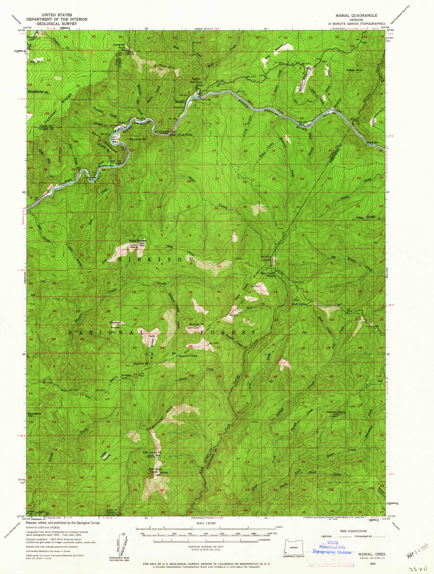
1954 Marial 15' Quadrangle |
1954 Marial 15' Quadrangle (Annotated) |