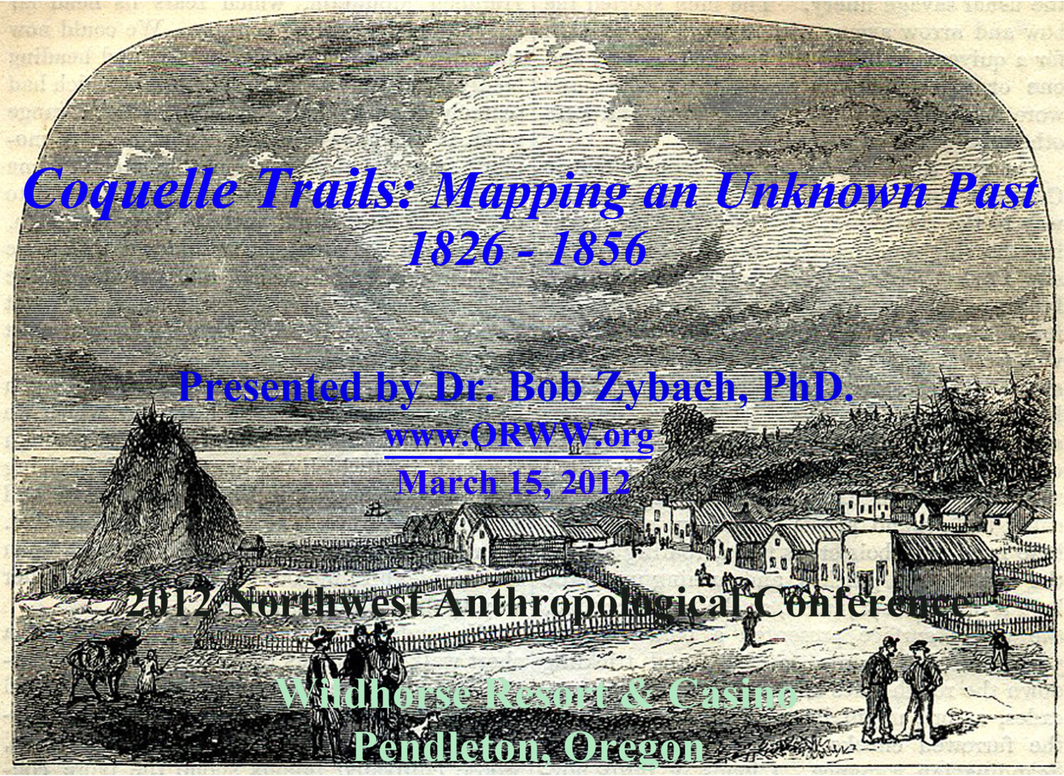
Port Orford, Oregon Territory, October 1856 Harper's Magazine (Wells 1856: 590).
PowerPoint Presentation
Port Orford, Oregon Territory, October 1856 Harper's Magazine (Wells 1856: 590).
Coquelle Trails: Mapping an Unknown Past, 1826 - 1856
The methods and findings of this project were first publicly presented at the 65th Annual Northwest Anthropological Conference on March 15, 2012 at the Wildhorse Resort and Casino in Pendleton, Oregon. This presentation is available as a PowerPoint (PPT), HTML webpage, or PDF file (see below). Individual slides or the entire program are freely available to students, teachers, and historical researchers; but please properly credit when used. Also please note that the PPT file is high resolution and nearly 60 MB in size, while the PDF file is only about 7 MB in size.
Powerpoint File (36 slides; 58 mb.): www.ORWW.org/Coquelle_Trails/Presentation_2012/Coquelle_Trails_20120315.ppt
PDF File (36 pages; 6.8 mb.): www.ORWW.org/Coquelle_Trails/Presentation_2012/Coquelle_Trails_20120315.pdf
HTML File (36 slides): www.NWMapsCo.com/ZybachB/Presentations/2010-2013/20120315_NWAC/Coquelle_Trails_20120315.htm
Presentation Abstract [From: The Past is Present. 65th Annual Northwest Anthropological Conference, March 15-17, 2012, Pendleton, Oregon: p. 69]:
When Alexander McLeod first entered the country of Coos and Coquille people in 1826 he arrived in a land almost completely unknown to the outside world. There were no maps, written or verbal accounts, or even known landmarks -- excepting the seacoast -- for the entire area. McLeod was in search of beaver, said to exist in large numbers in a “Great River" [Rogue River] to the south; but when he first reached Coos Bay in this quest even his Umpqua Indian guides quit, refusing to go further south. In 1826 there were no pack trails or wheeled vehicles in the Coos or Coquille river basins. Virtually all travel was accomplished by foot or canoes. The line of demarcation between these modes of transport was typically the head of tidewater in the bay and along sloughs and tidal rivers and creeks. People and goods were quicker and easier to move with the tides in canoes than to carry or travel long distances by foot; but canoes were no option in overland travels or along rocky streams. Then, in June 1851, patterns of travel that had existed for generations began to change abruptly with the arrival of a boatload of Americans at Battle Rock. By 1856 nearly all Coos and Coquille Indian families had died, been murdered, or moved to reservations, and their ancient foot trails replaced with pack trails, skid trails, and wagon roads. This project focused on documenting and mapping the foot trail and canoe routes McLeod found in 1826.
Citation:
Zybach, Bob 2012. Coquelle Trails: Mapping an Unknown Past, 1826 - 1856. PowerPoint presentation at the 65th Annual Northwest Anthropological Conference, March 15, 2012, Pendleton, Oregon: 36 slides.
![]()