COLOR VARIATIONS IN NATIVE CAMAS FLOWERS ON EAST-WEST TRANSECT FROM BROWNSVILLE TO GORDON MEADOWS, OREGON, MAY 23, 2015
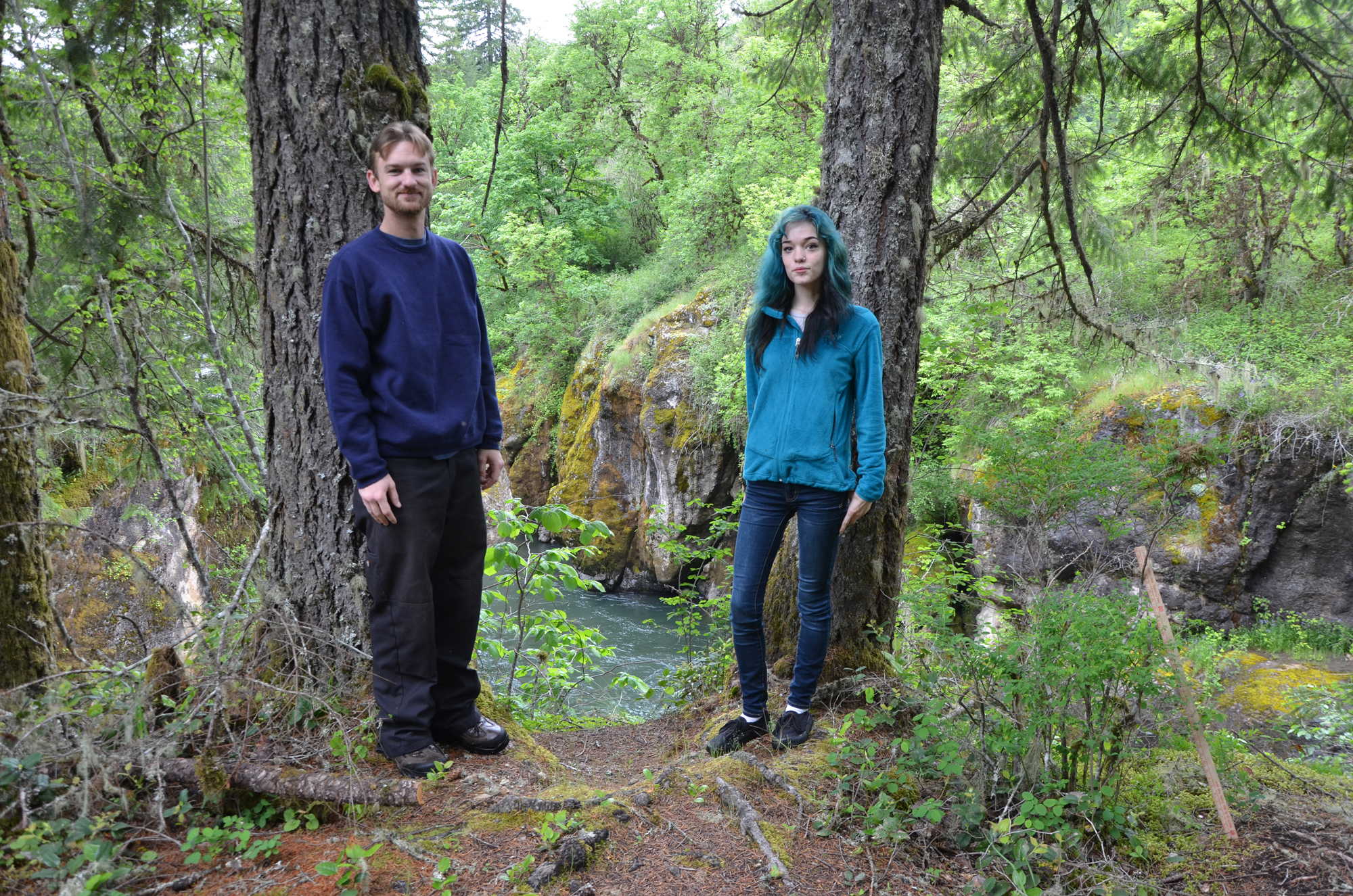
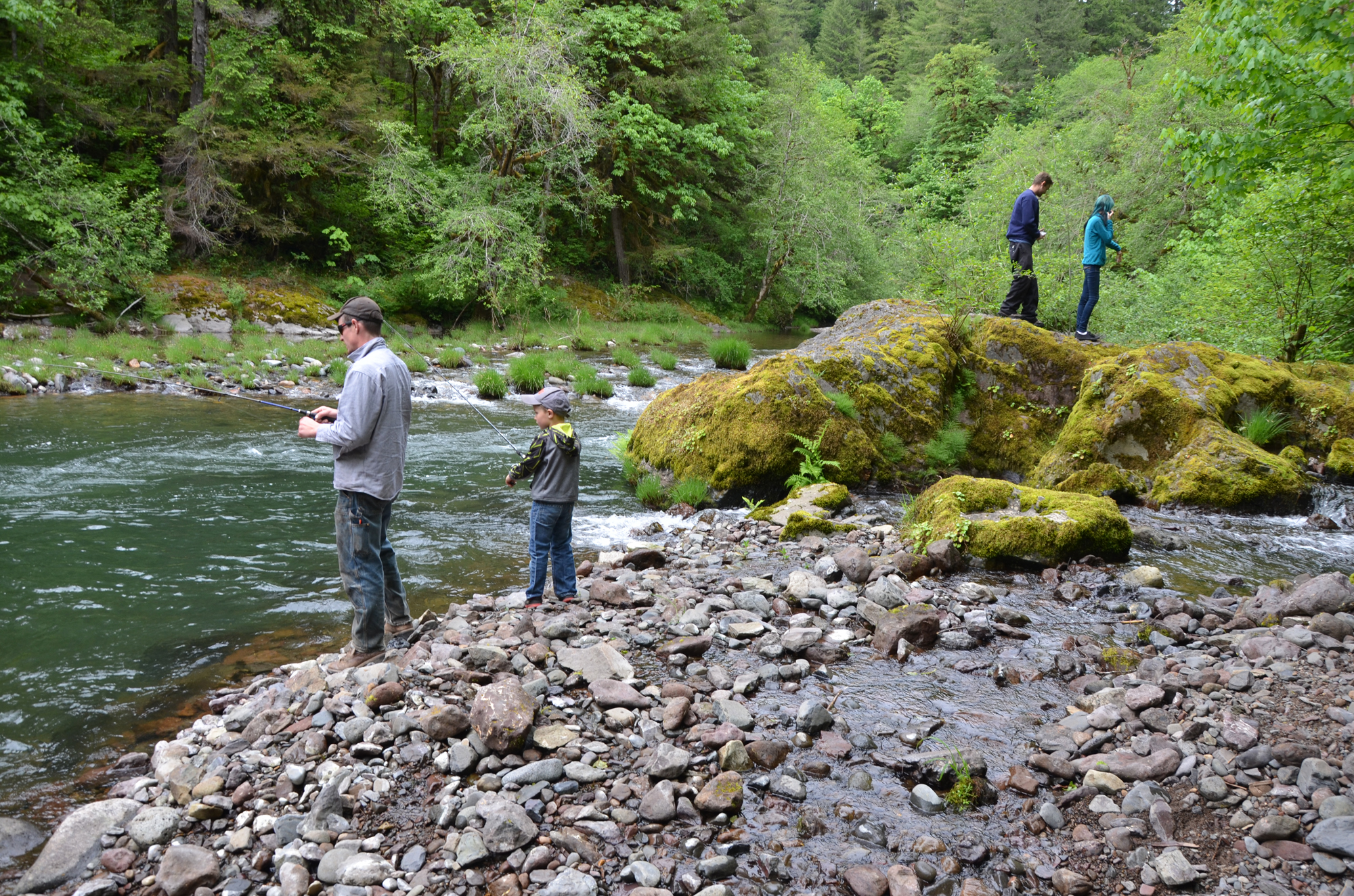
Camas Crew members Brandon Hanner and McKenzie Peters on the South Santiam River at the mouth of Canyon Creek, May 23, 2015. Photo by B. Zybach.
Field Report By Bob Zybach, PhD.
Program Manager, www.ORWW.org.
June 1, 2015
This is a supplemental report to the north-south I-5 transect report on camas color variations that was posted on May 15: www.orww.org/Native_Plants/Camas/Colors/20150511_Oregon_I-5
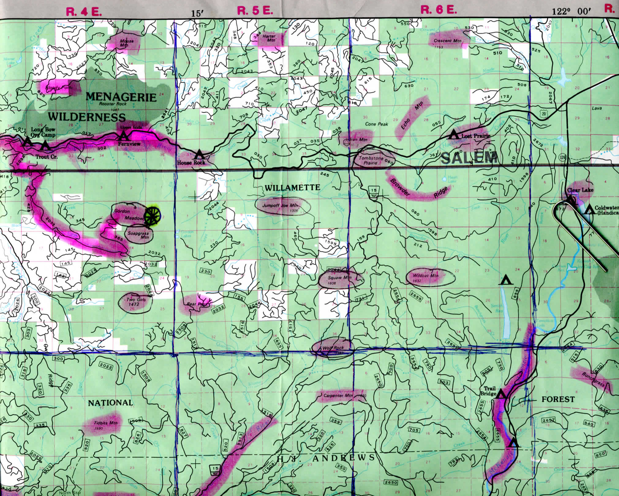
In my previous report (linked above) I documented the significant localized changes in camas flower coloration as one travels along the I-5 corridor between Washington and California. From the south near Grants Pass the blossoms are purple; in Upper Cow Creek Valley they are lavender; turning white and then mixed colors along the South Umpqua; to cream colored along the North Umpqua; lavender from Yoncalla to Cottage Grove; purple from Saginaw to Glenwood, and then deep purple for more than 20 miles, concentrated between the Junction City 209 and Corvallis 228 Exits. This report uses the same methodology of digital photography, GPS coordinates, and nail polish color scale to record and compare camas size, colors and maturity of native camas populations, but using an east-west transect from the City of Brownsville (Tsp. 13 S., Rng. 2 W., Sec. 31) to Gordon Meadows (14 S., Rng. 4 E, Sec. 11). Both are in Linn County, Oregon, with Brownsville being in the Willamette Valley along the Calapooia River at 265 ft. elevation, and Gordon Meadows being in the Old Cascades and headwaters of the South Santiam River at 4,300 ft. elevation.
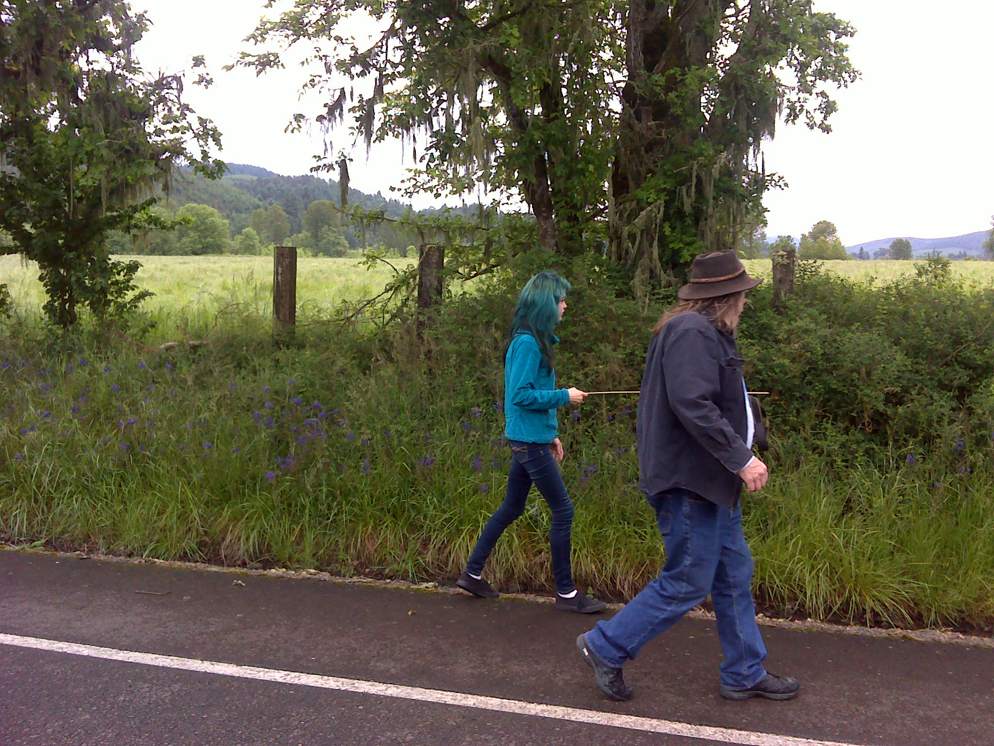
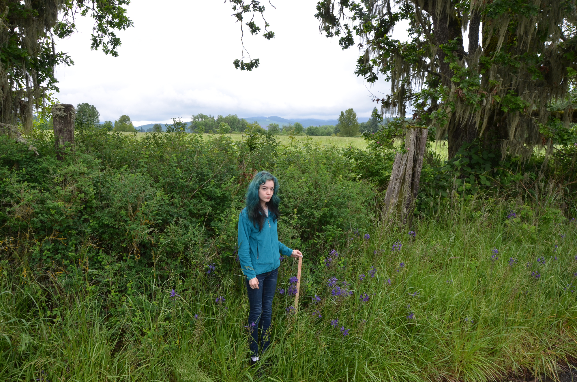
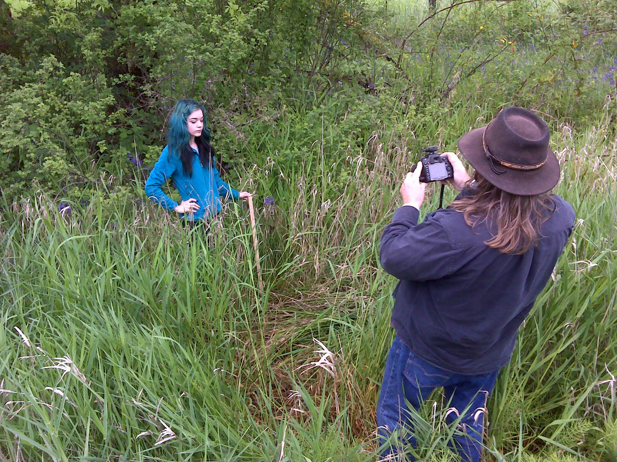
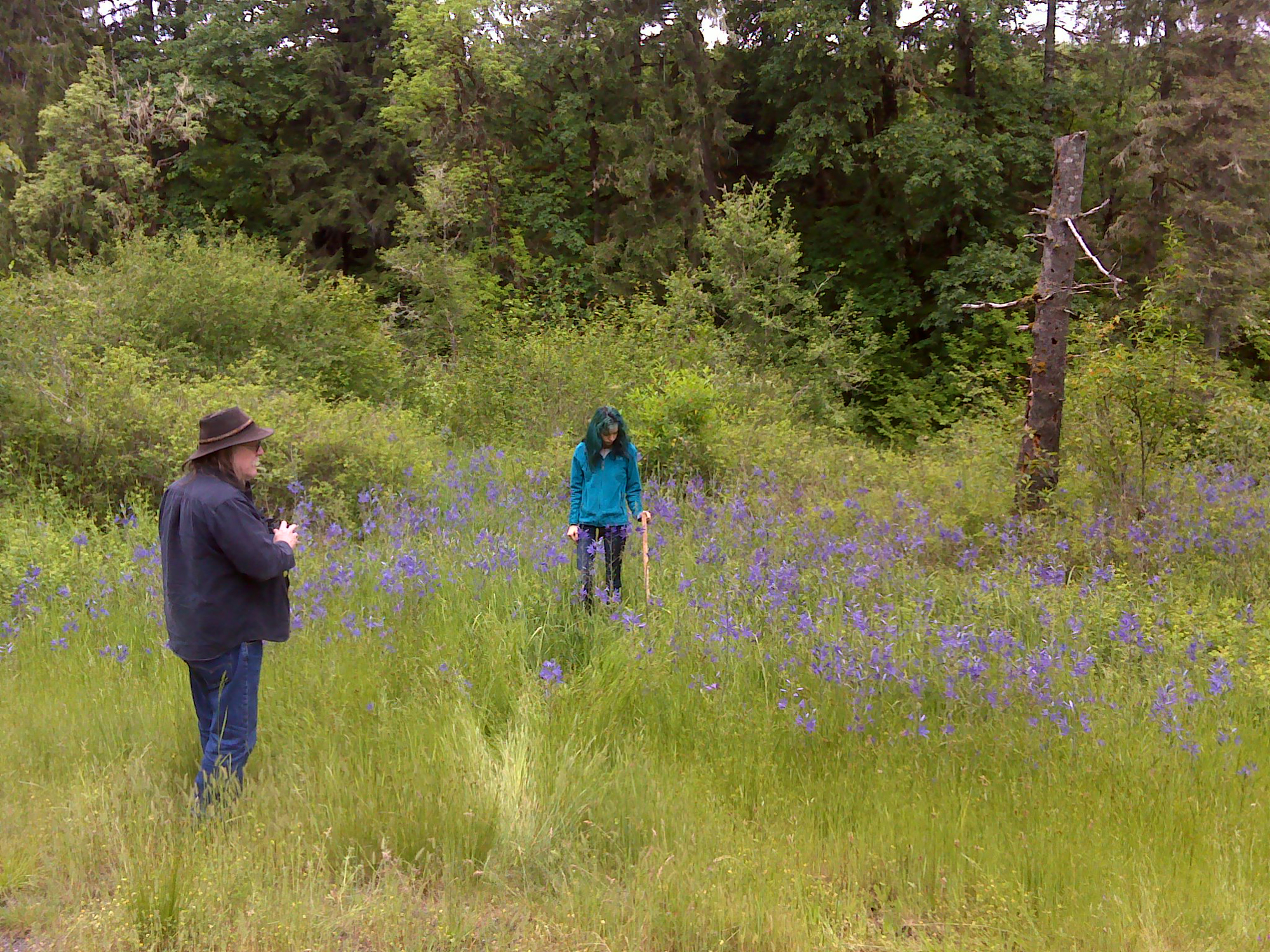
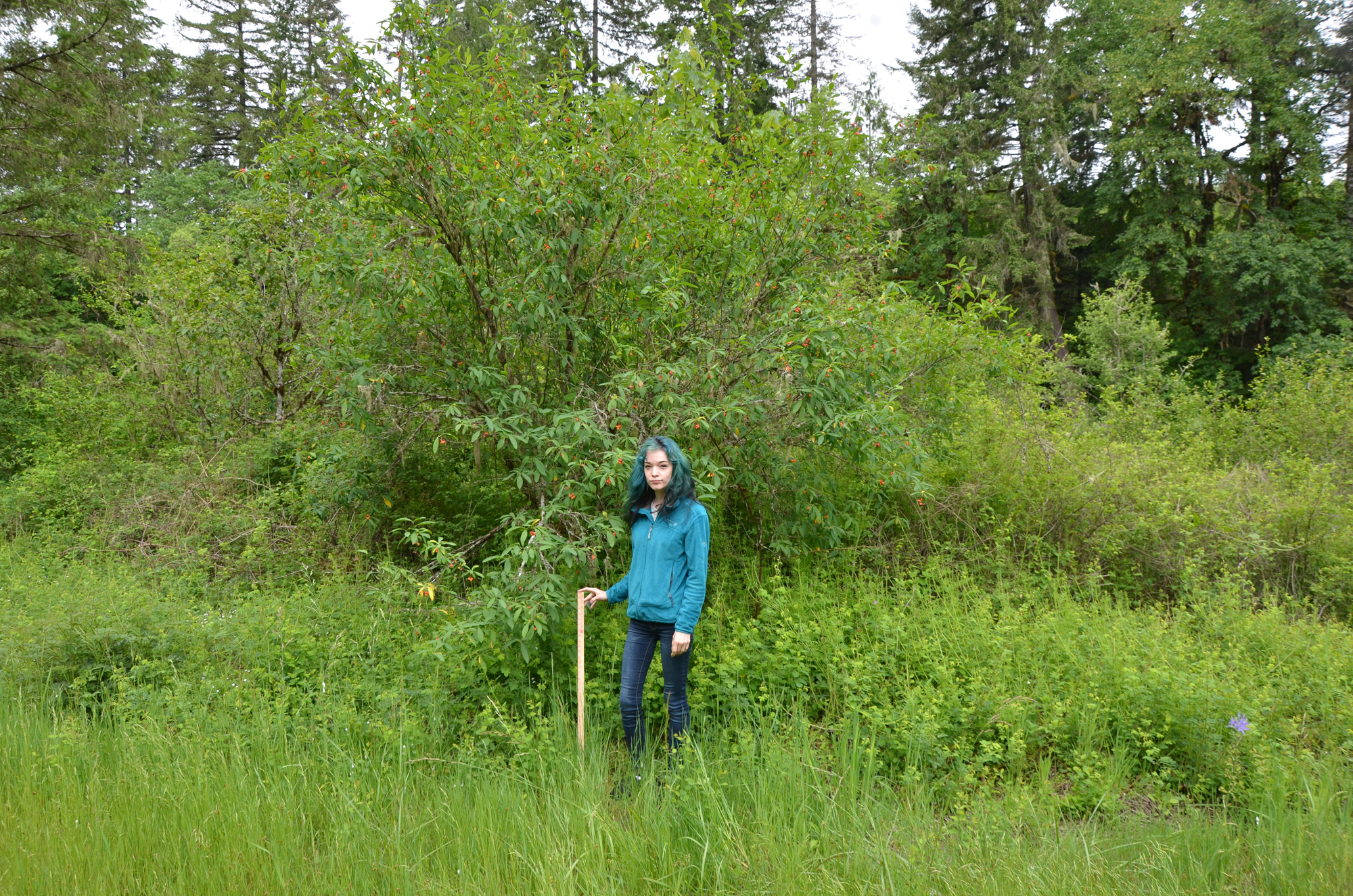
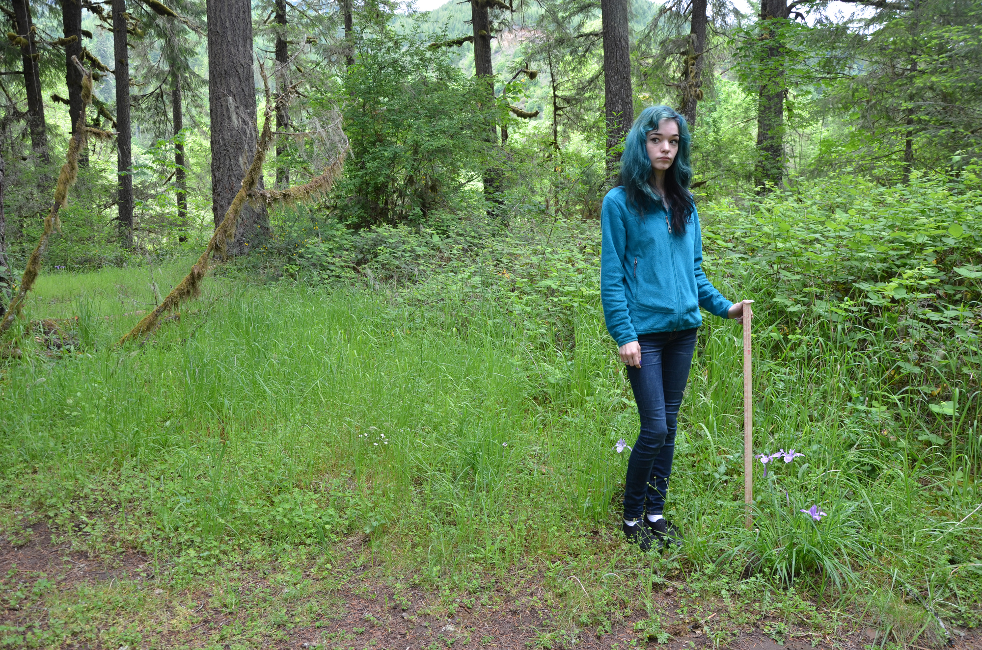
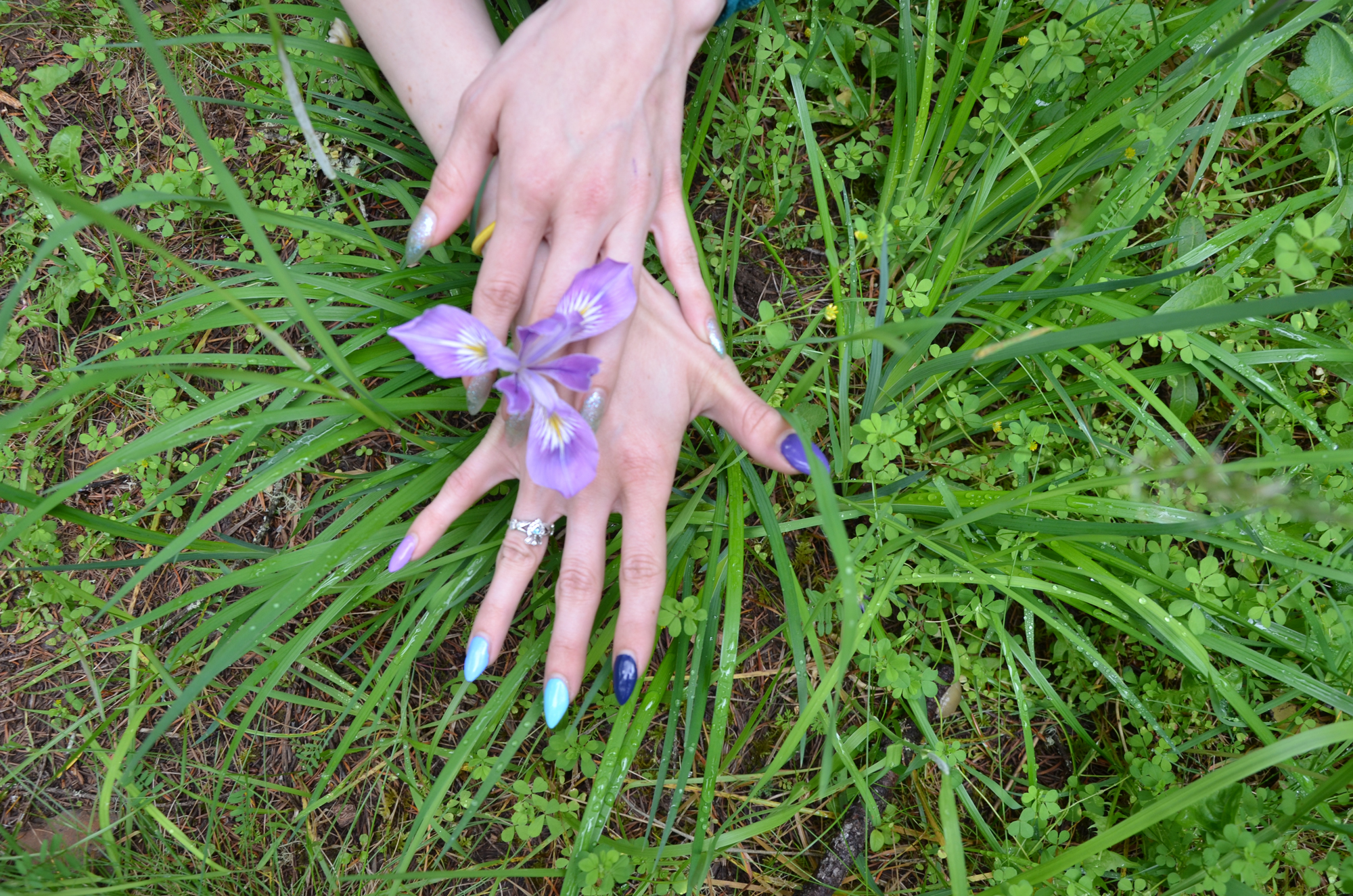
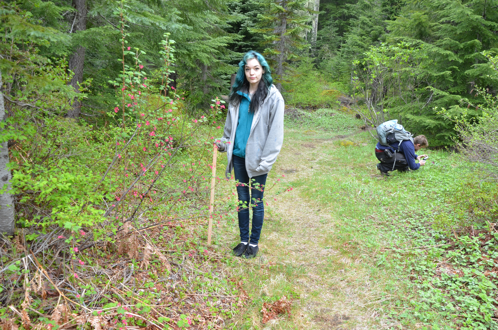
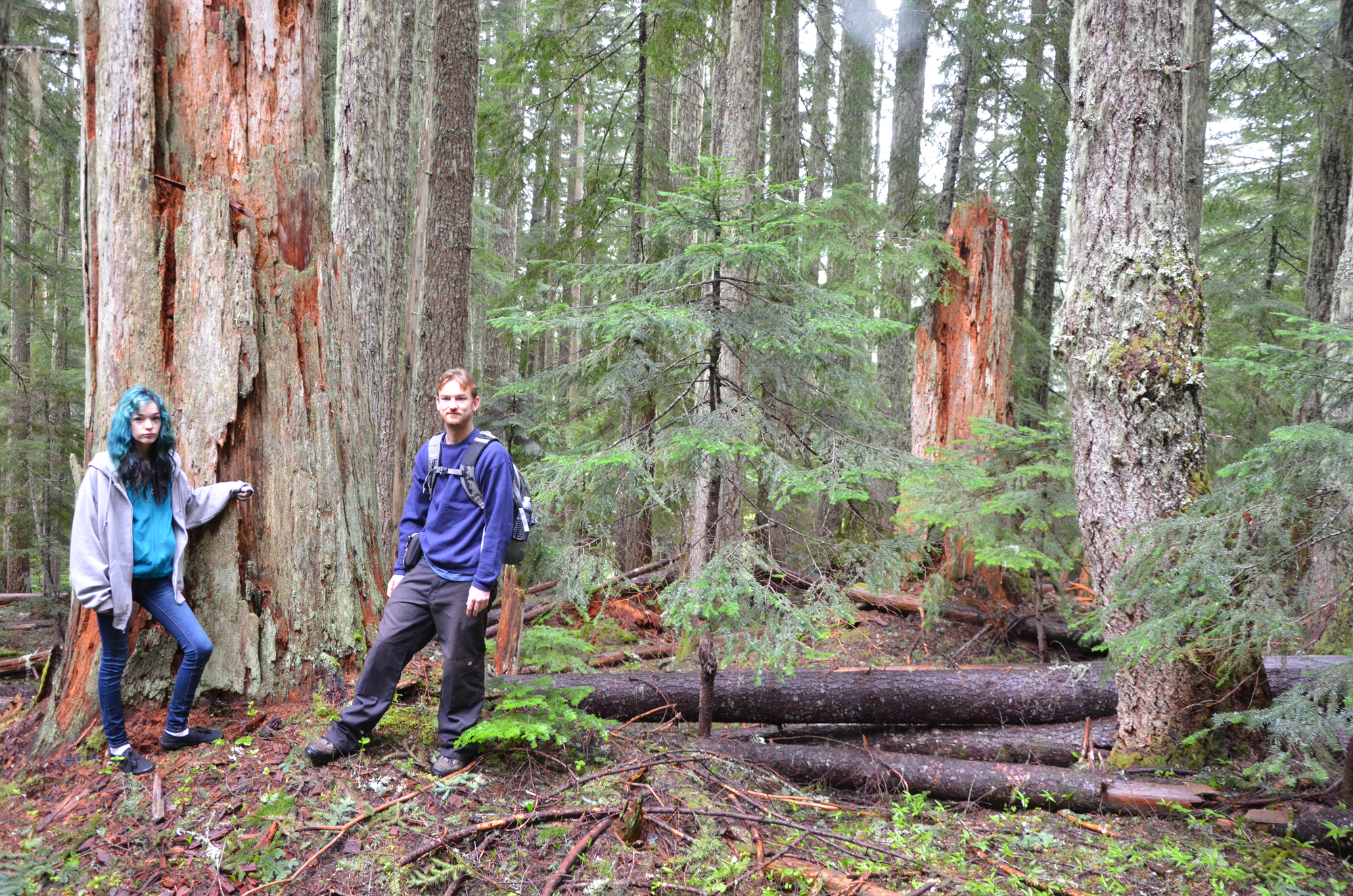
My Camas Crew members remained the same: McKenzie Peters and Brandon Hanner of Cottage Grove, Oregon. McKenzie provided sharp eyes, a human scale and professional color chart for this project. Brandon took detailed field notes and recorded locations and documentary methodology with a Garmin 550-t Oregon GPS receiver/camera. His photographs are those in Table 2 with a 2400 prefix. I used a Nikon Model D700 SLR camera with a Nikon GP-1 GPS receiver and a Nikon 18-105 mm. zoom lens to record size, location and coloration of the camas blossoms. My photos are the 9400 sequence. All of the photos have been resized for Internet display, but that is the only PhotoShopping that has taken place -- no cropping, coloring, adjusting, etc., in any other way. Raw data photos are archived in a separate folder: the original Nikon photos are about 3-4X larger in size, while the Garmin photos are about the same size.
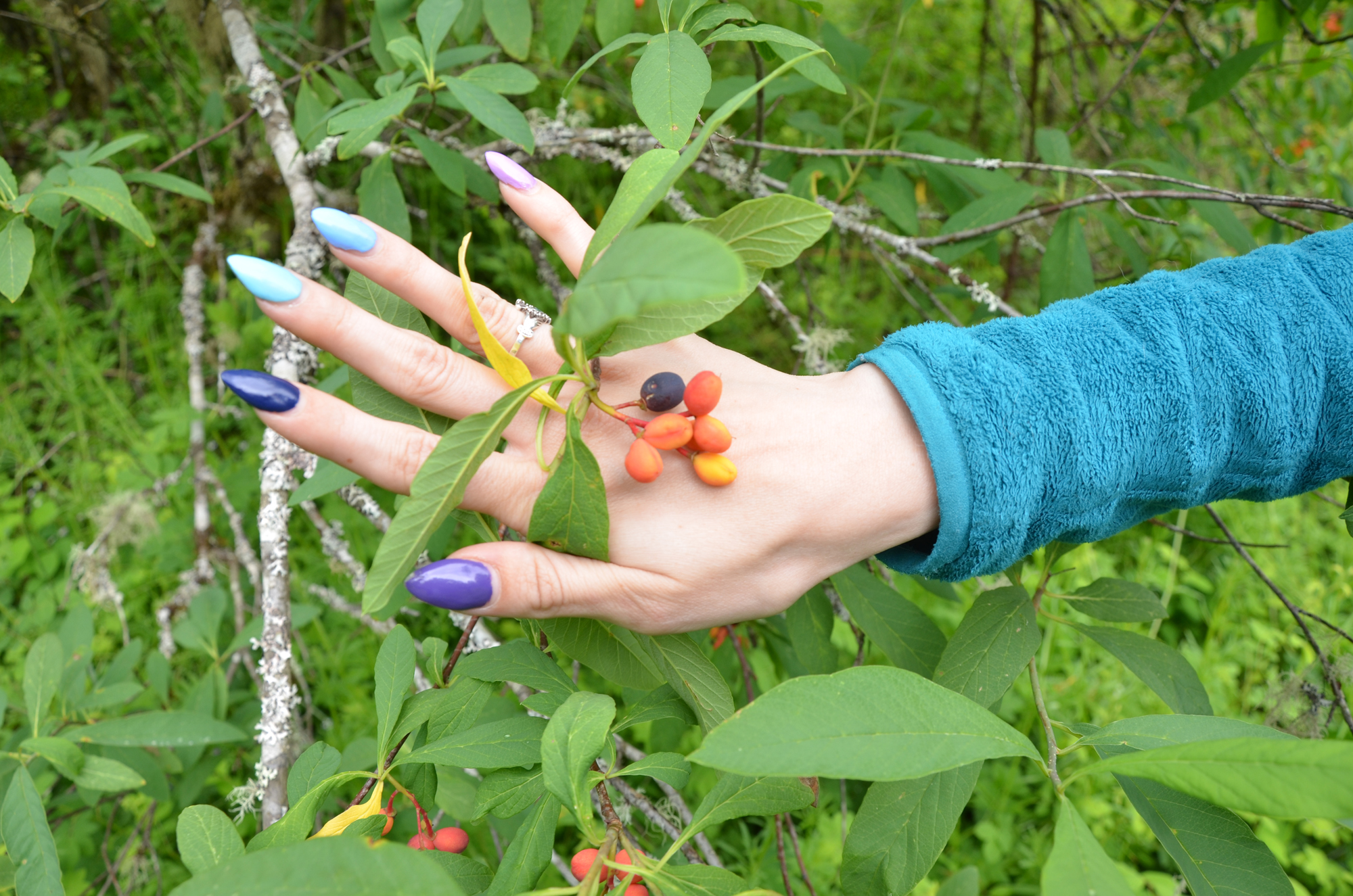
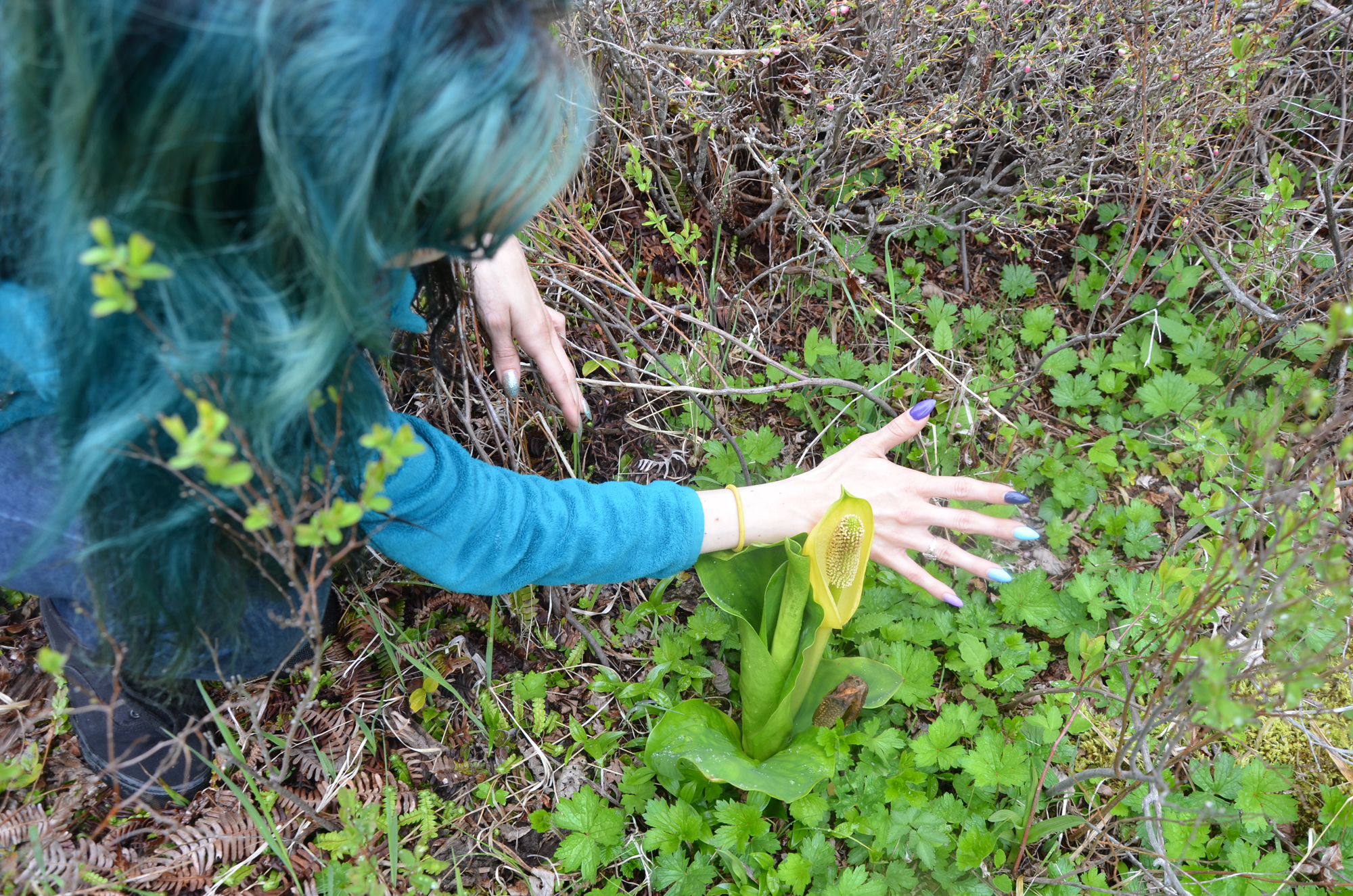
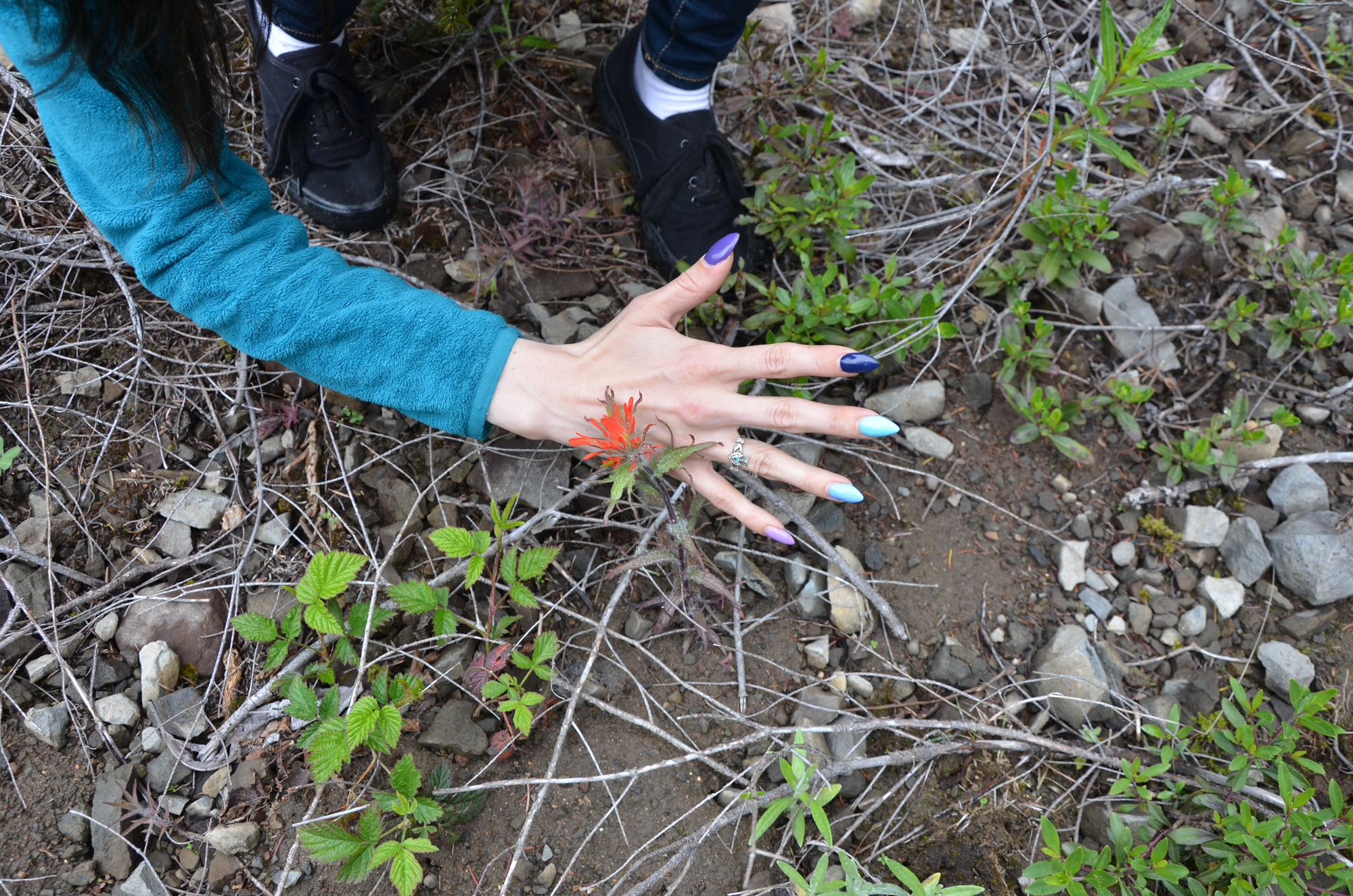
Wild iris ("Oregon flags"), roses, dogwoods, strawberries and camas were in full bloom in lower elevations; beargrass, Indian paintbrush, skunk cabbage, strawberries and camas were just coming into bloom at higher elevations. Indian plums and trilliums were mostly past blooming in lower elevations and trilliums were just starting to fade at the higher elevations. One of the day's best discoveries was a patch of native onions that Brandon spotted along Black Creek in the middle of the Black Creek beargrass prairie (#9475). Very tasty and mild.
Photograph Tables
This transect resulted in 43 digital photographs and 3 map fragments documenting: 1) five separate native camas field and patch remnants; 2) containing as many as 2 to 5 different camas varieties; 3) three blue/red camas bloom color gradiants; and 4) their exact GPS locations along an east-west transect from Brownsville to Gordon Meadows.
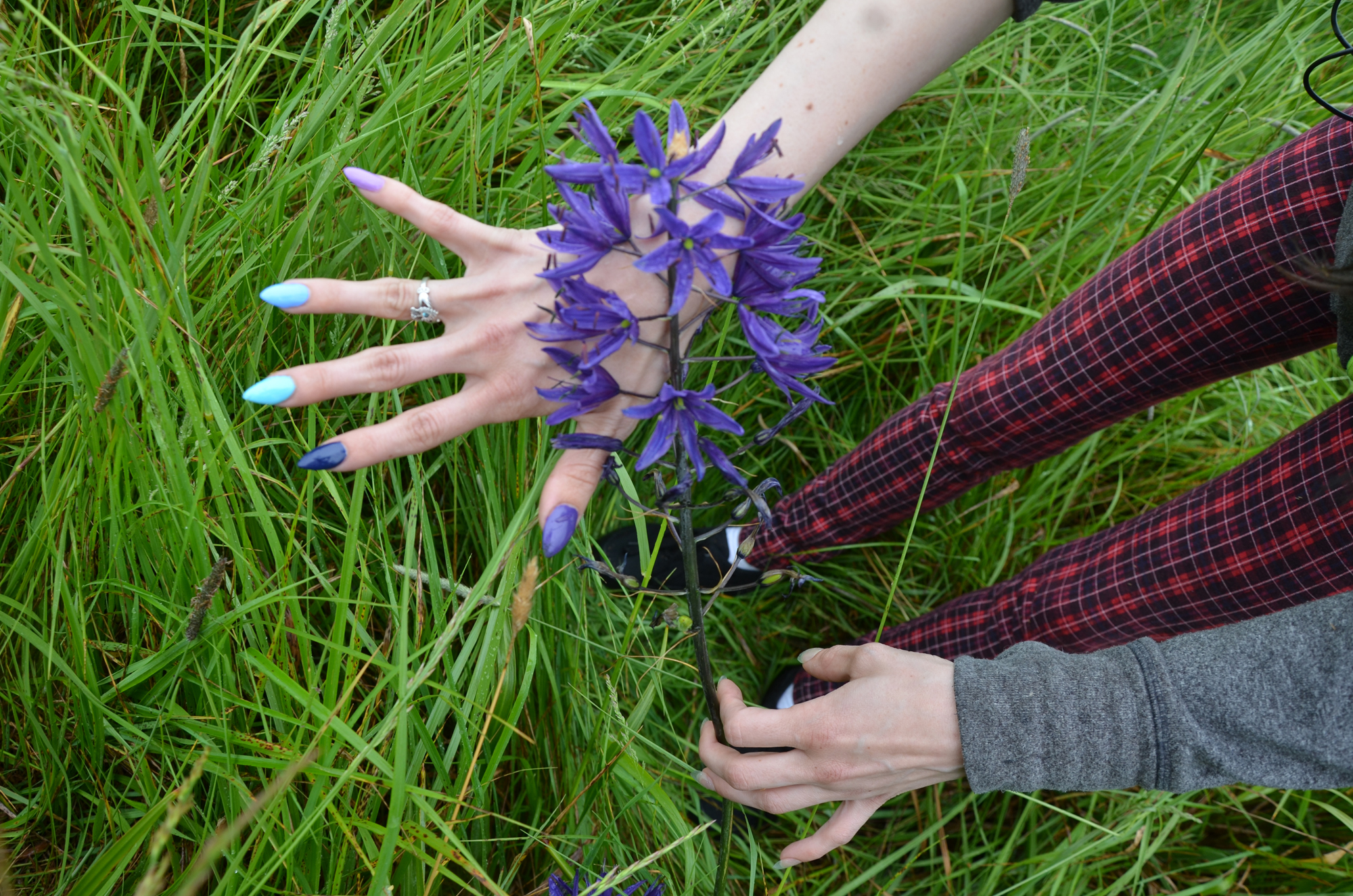
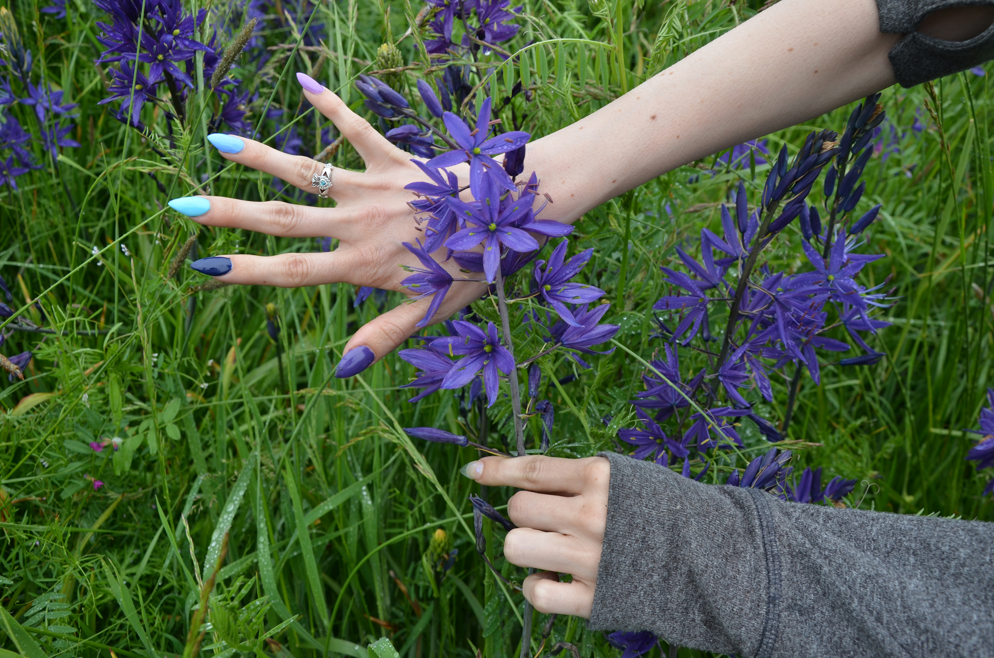
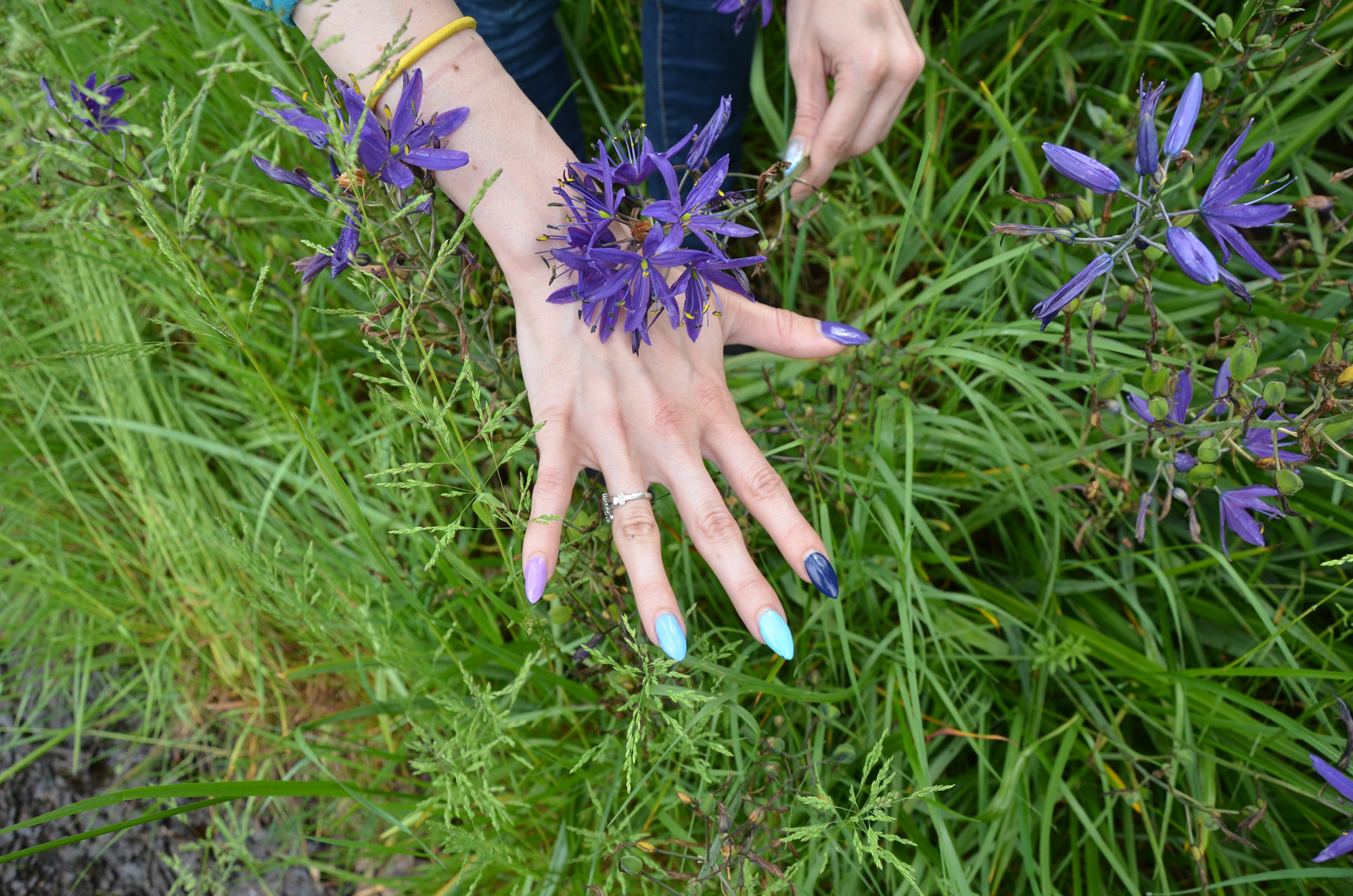
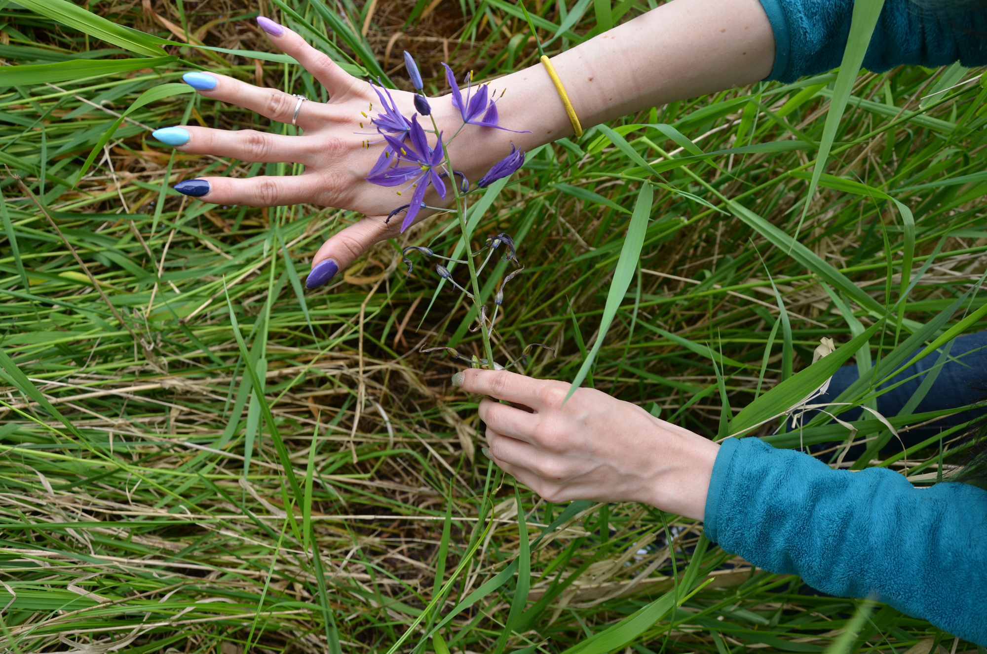
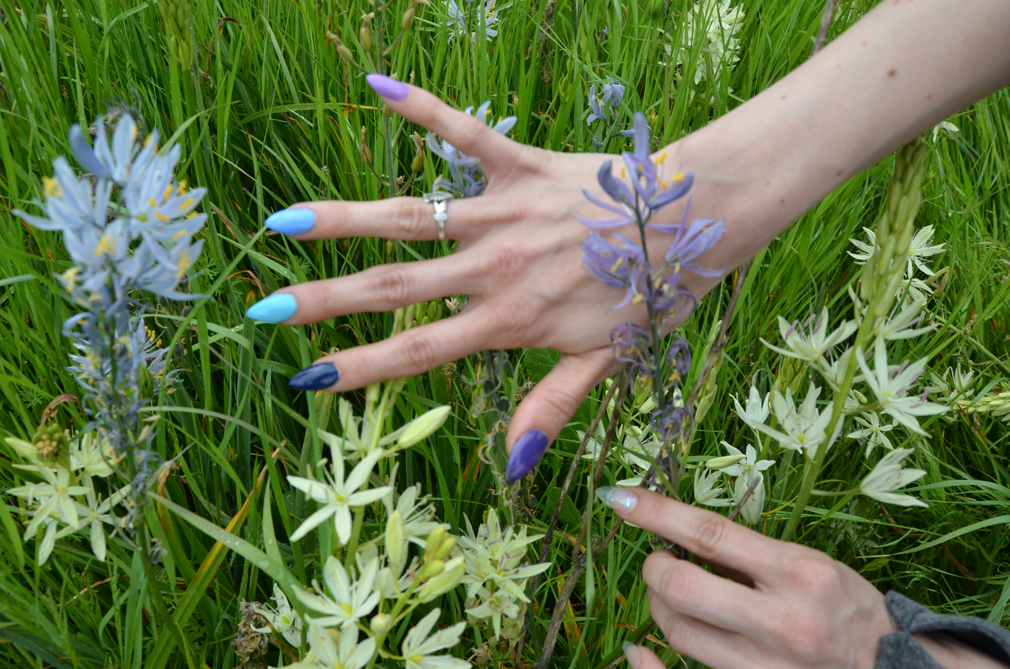
Table 1. Western Oregon Camas Blue and Purple Hues. This table compares the various red/blue hues of blue, lavender, violet and deep purple colors of the two transects.
Table 2. Western Oregon Camas Variety Locations. This table documents the five different camas locations we visited, our methods of recording the size, species,structure and general extent of individual plants and of each camas stand, and the final complete photo documentation series. Photos are arranged from west to east, and in the order they were taken. Maps of photograph locations will eventually be constructed from gathered GPS data.
Table 1. Comparison of Camas Blue and Purple Hues.
Deep Purple & Blues |
 |
 |
 |
 |
 |
 |
 |
 |
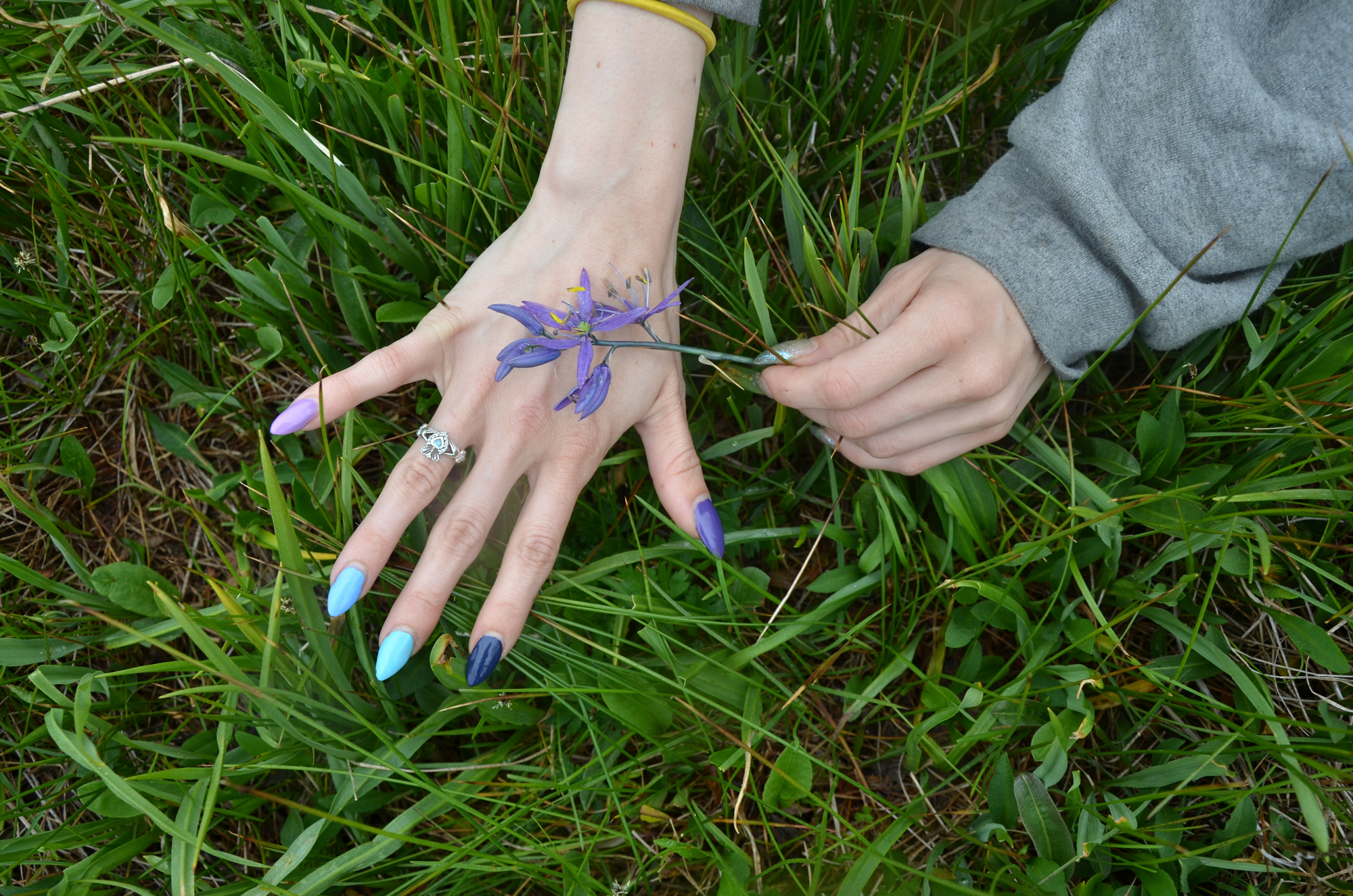 |
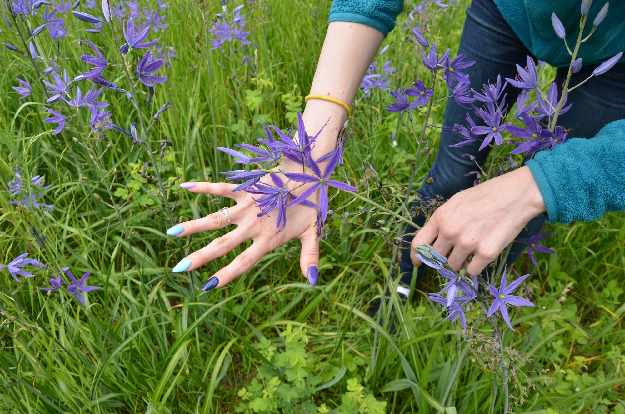
Table 2. Camas Blossom Color Variations on East-West Brownsville to Gordon Meadows Transect, May 23, 2013.
 |
 |
 |
 |
 |
 |
 |
|
 |
 |
 |
 |
 |
|
 |
 |
|
 |
 |
 |
|
 |
 |
 |
|
 |
 |
 |
 |
 |
 |
 |
 |
 |
 |
 |
 |
 |
 |
 |
 |
 |
|
 |
 |
 |
||||
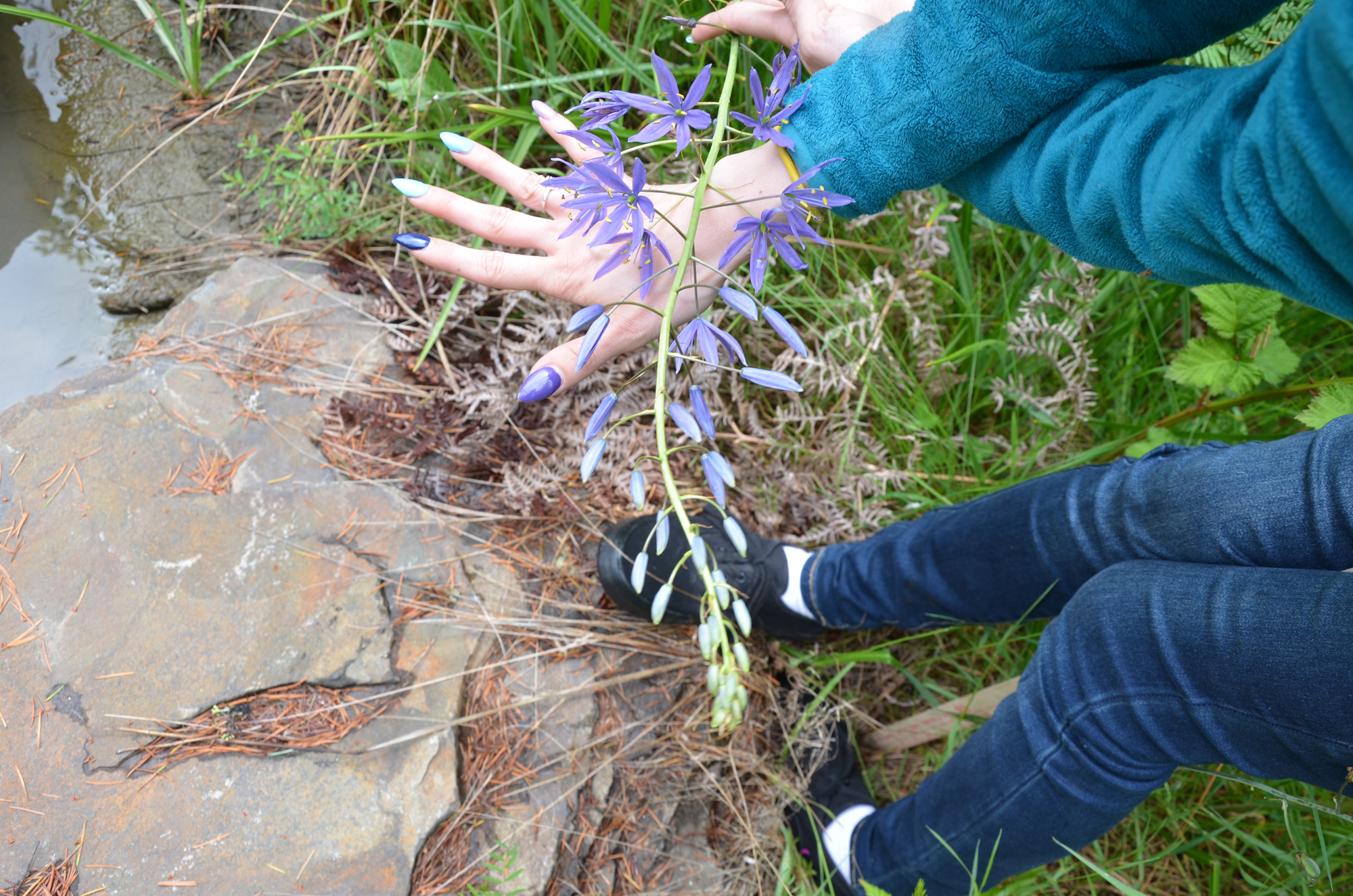
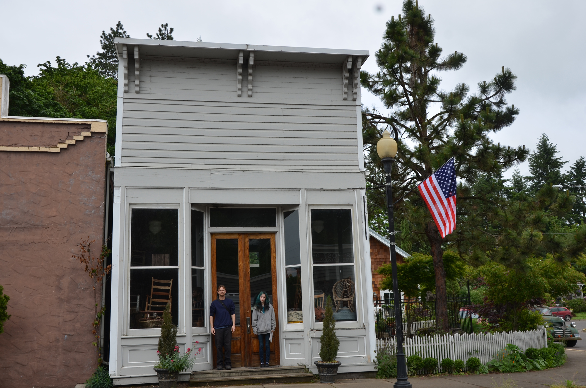
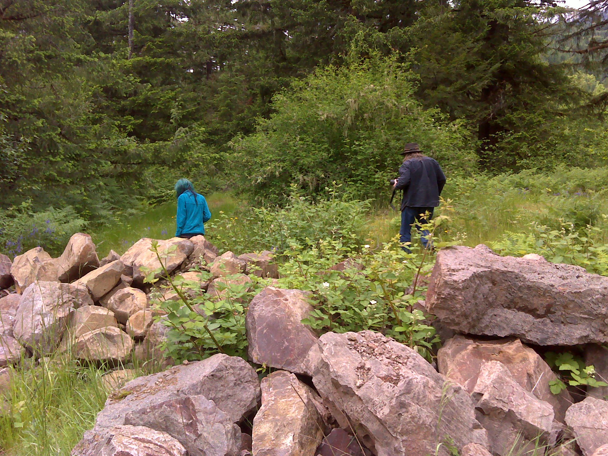
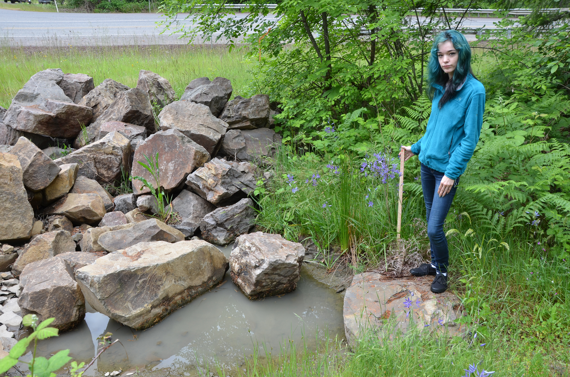
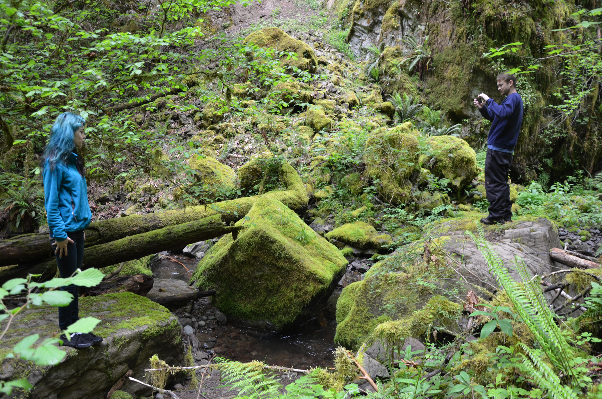
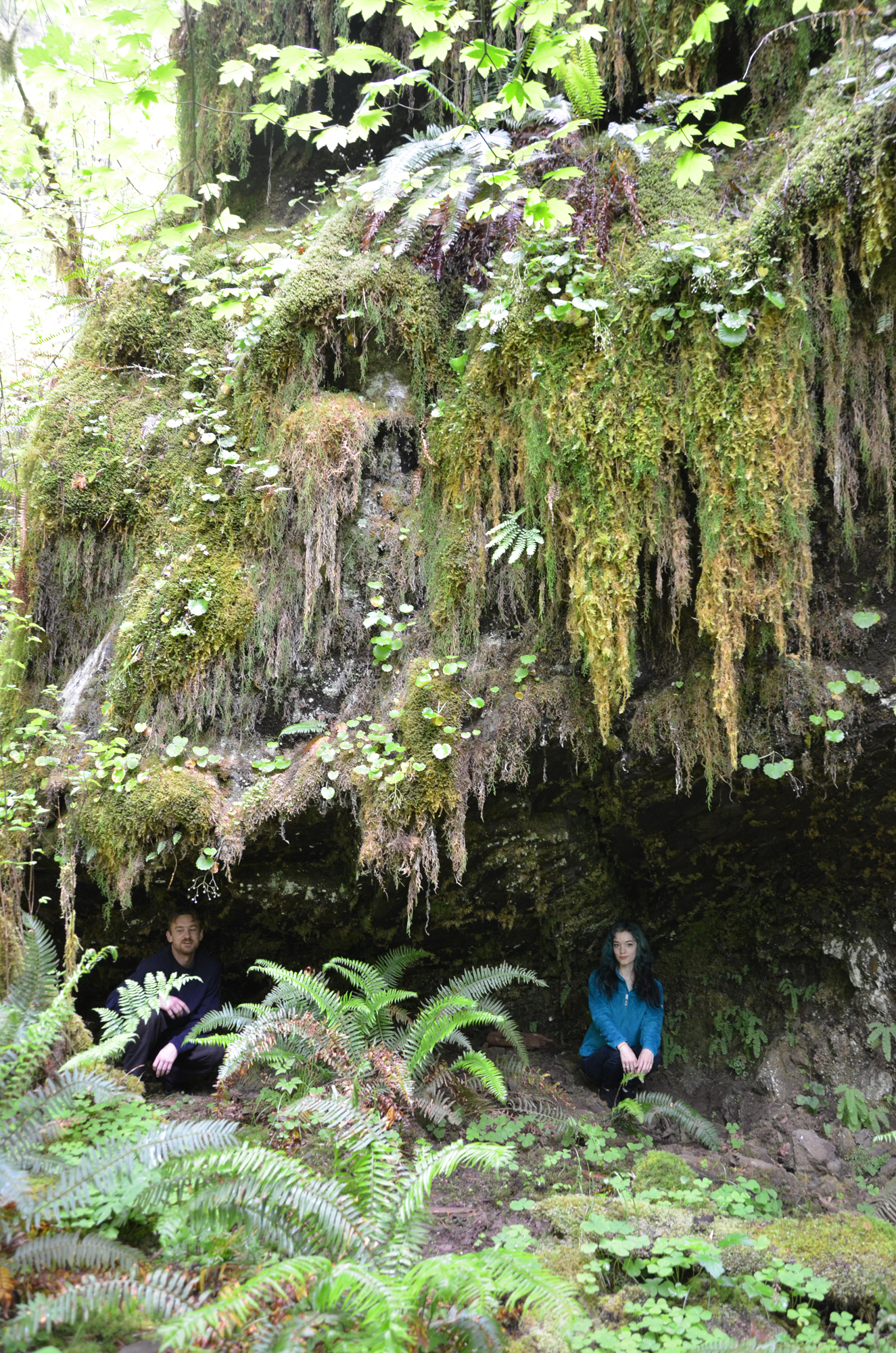
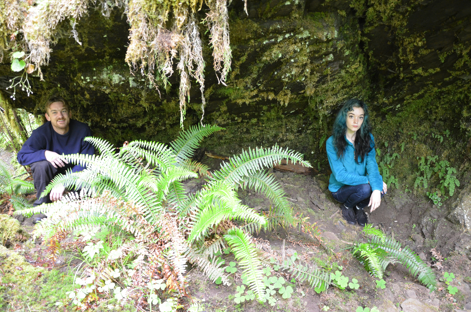
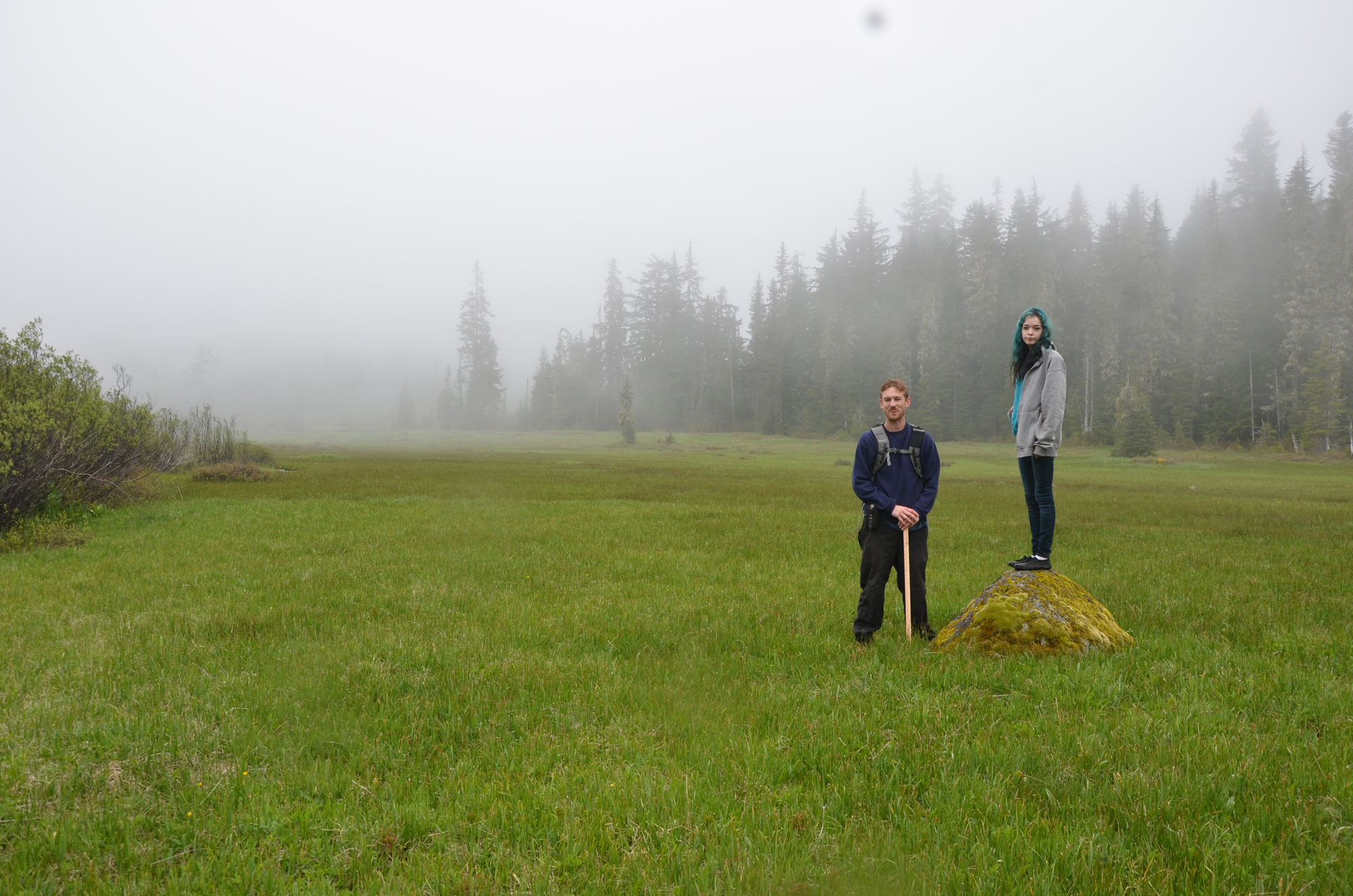
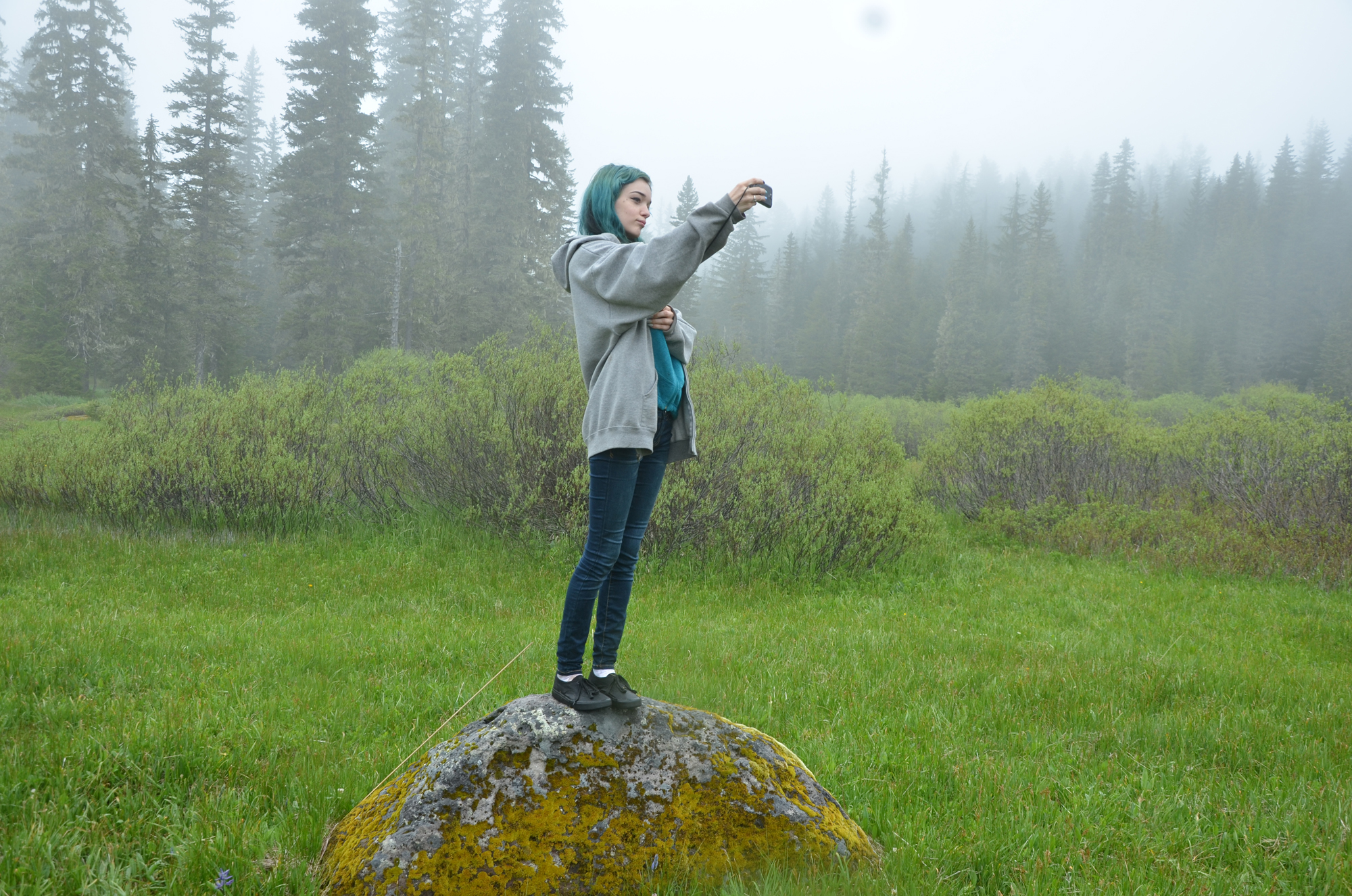
[NOTE: During a visit to Gordon Meadows about five years ago Bob Tom stood on two of the very rocks that McKenzie decided to stand on. Bob had his picture taken on another rock on the Black Creek Beargrass Prairie. He said (exact quote): "if there is a rock to stand on, an Indian will go stand on it." About one month later his cousin Kathleen -- a long-time member of the Grande Ronde Tribal Council -- stood on the exact same Black Creek Prairie rock as Bob, without any prompting. Although there were dozens of rocks to choose from and no one else was standing on any of them, Kathleen had selected the same rock as her first cousin to stand on. From these indications, I was not surprised to later learn that McKenzie also has some Native American ancestry.]
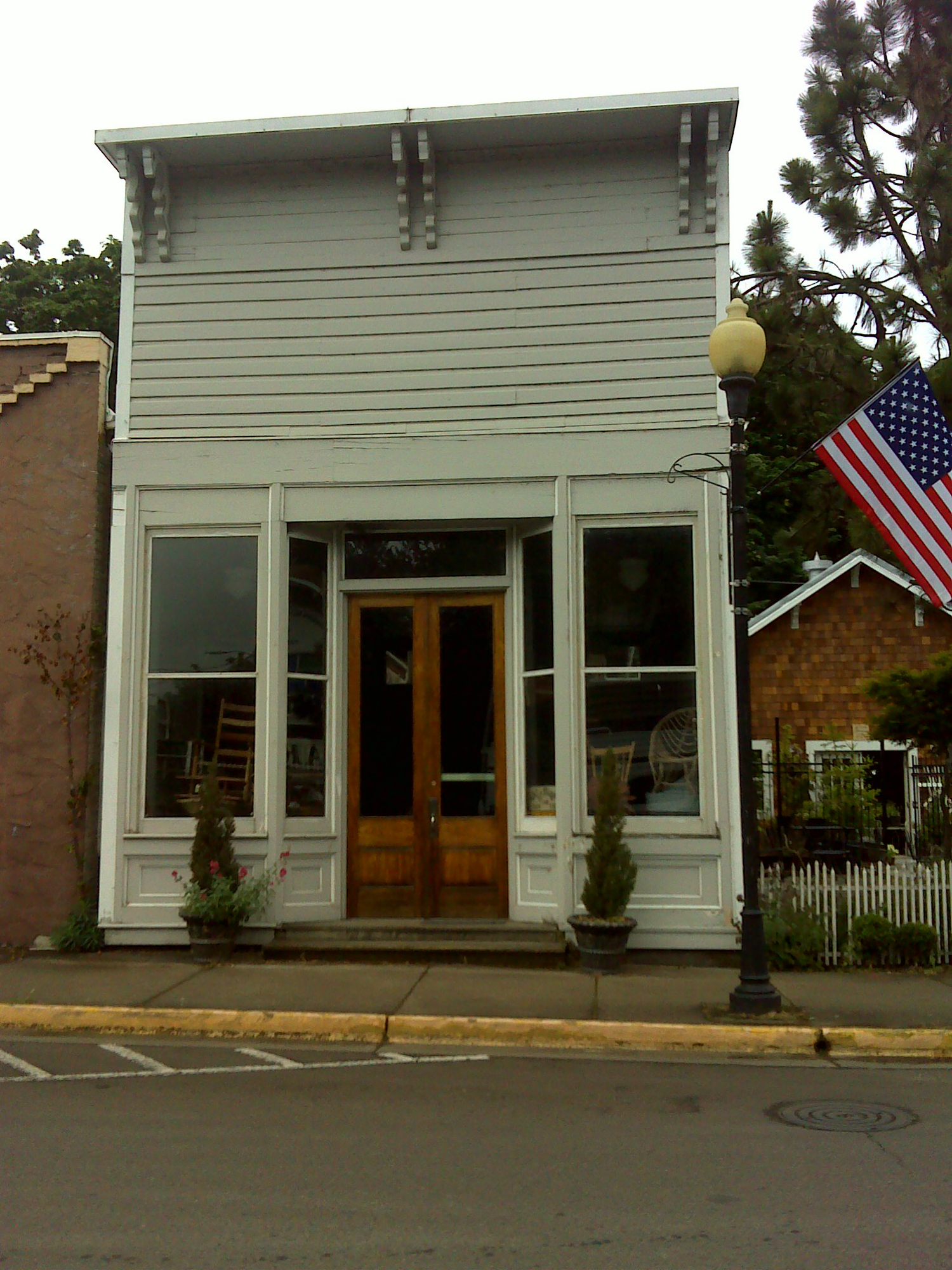
| ROCK SOLID | |
|
|
|
|
![]()
copyright 2015 Oregon Websites & Watersheds Project, Inc.