Benton County
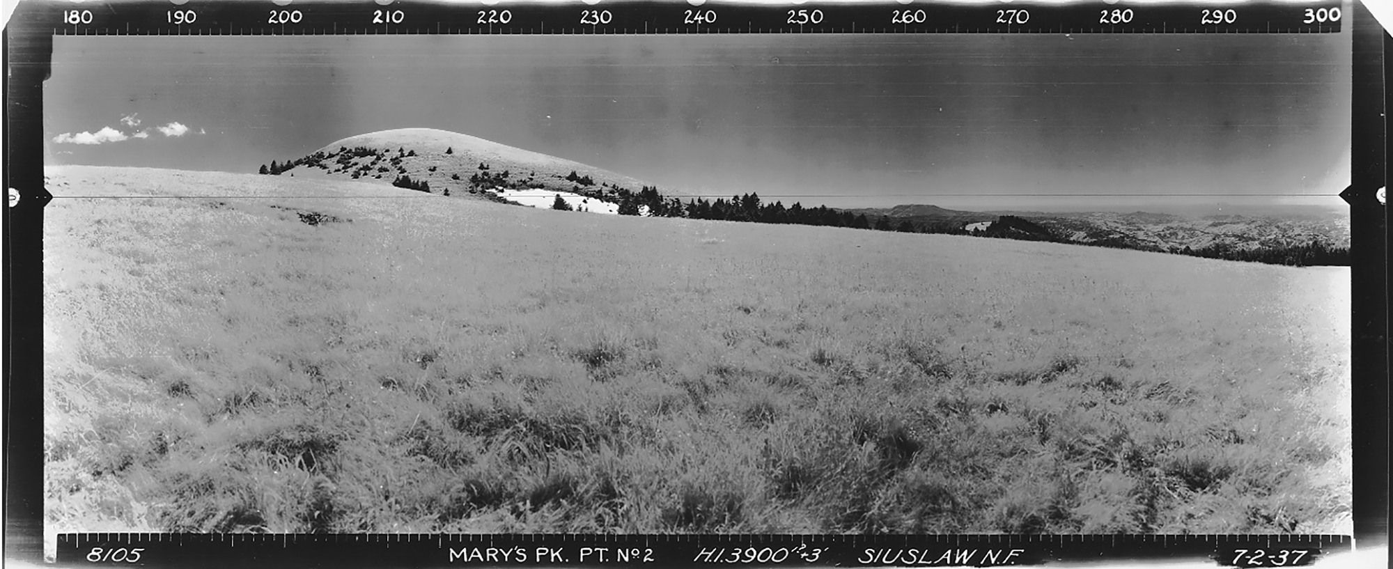
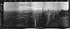
West View, Marys Peak Point 2 Lookout, Benton County (Unknown Photographer, July 2, 1937).
Benton County is the location of seven historical fire lookouts, including two viewing locations on Marys Peak and Prairie Mountain; which is technically located just over the County line in Lane County. The three locations in which Osborne photos were taken include those portions of the East slope of the Coast Range and Alsea Valley within Benton County; the remaining four locations were established in the early 1940s in response to WW II.
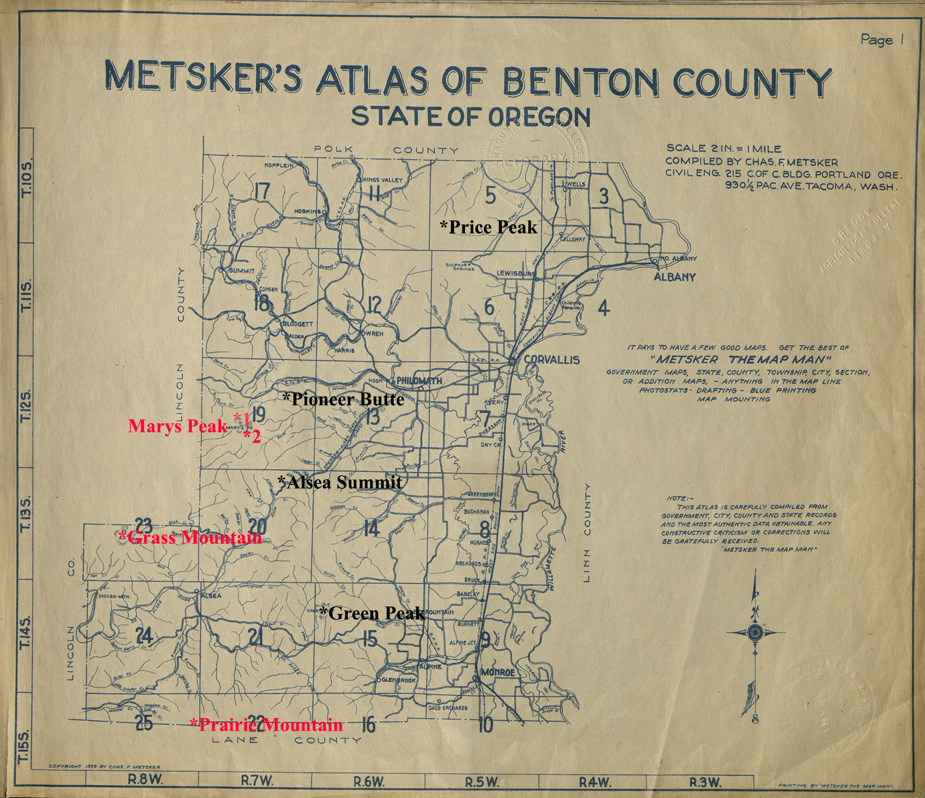
The Benton County Fire Lookout Index Map is based on a 1929 Metsker landownership map. Locations with red lettering are where Osborne photos were taken; those with black lettering were subsequently established during WW II.
© 2006-2020, Oregon
Websites and Watersheds Project, Inc. & NW Maps Co.
ICON
LOOKOUT
START
STOP
TSP
RNG
SEC
ELEV.
Alsea Summit
1937
1950
13 S.
07 W.
2
1,650
Grass Mountain
1935
1968
13 S.
08 W.
21
3,612
Green Peak
1942
1974
14 S.
06 W.
7
2,600
Marys Peak
1915
1972
12 S.
07 W.
21, 28
4,097
Pioneer Butte
1941
1968
12 S.
07 W.
12
1,573
Prairie Mountain
1913
15 S.
08 W.
12
2,800
Price Peak
1942
10 S.
05 W.
29
1,920