Oregon Websites and Watersheds Project, Inc.
The Osbornes Project
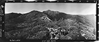
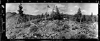
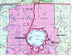
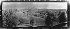
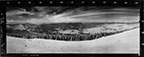
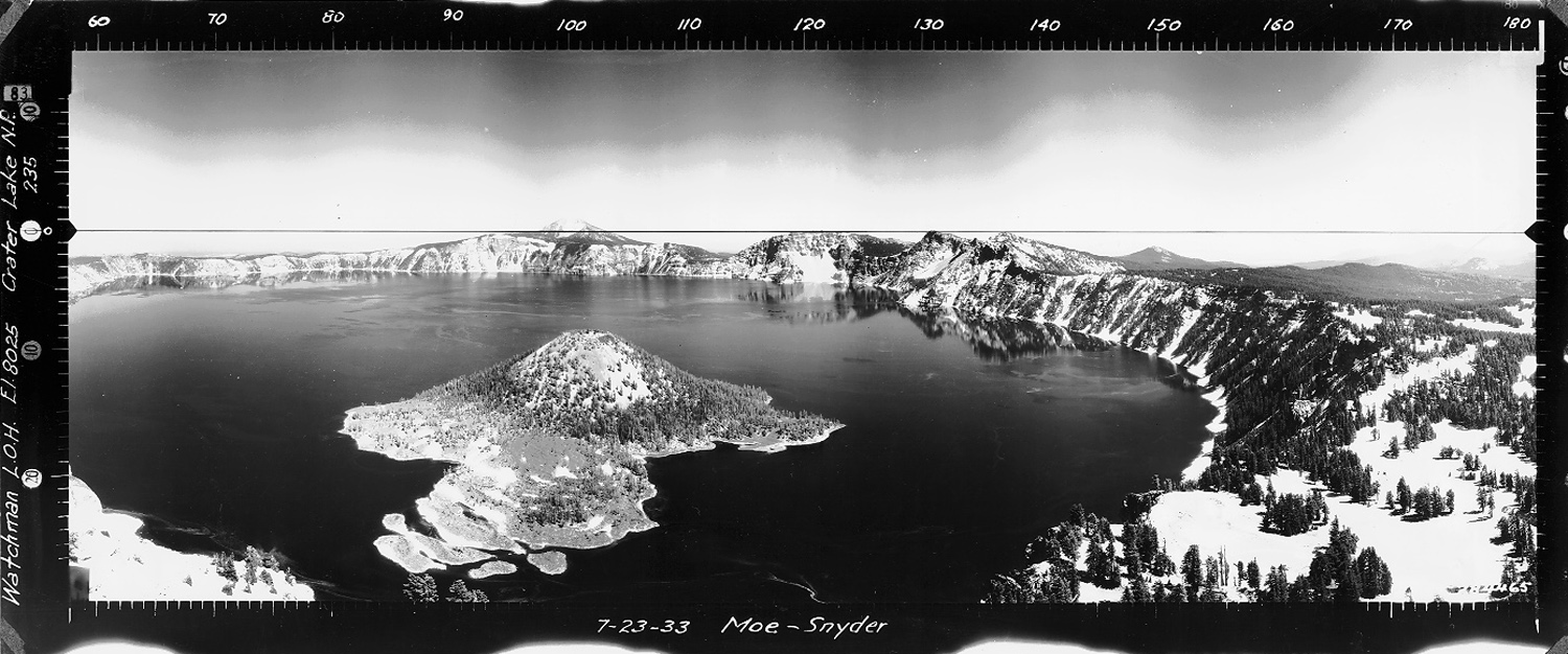
Crater Lake, The Watchman Lookout, Klamath County (Moe & Snyder, July 23, 1933).
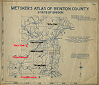
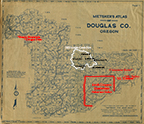
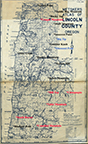
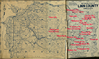
The ORWW "Osbornes Project" was started in 2006 as a collaboration by (at that time) Oregon State University (OSU) College of Forestry undergraduate student, Judd Lehman, and ORWW Program Manager, Dr. Bob Zybach. The basic idea was to revisit a selection of forest fire lookout towers in Oregon from which an Osborne panoramic photo sequence had been taken in the 1930s, and then take subsequent panoramic photos from the same locations in order to begin building a detailed Osborne Repeat Photography inventory, as described in 2004 and previously demonstrated in 1994 by Petersen & McMurray in Evergreen Magazine. This project has yet to be completed as planned: an initial set of Osbornes was put online that focused on the Kalmiopsis Wilderness in 2006; followed by a series on the Blue River and South Santiam headwaters in Linn County in 2007; a series on the upper headwaters of the South Umpqua River in Douglas County in 2010; and the Elliott State Forest lookouts in 2018.
![]()
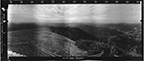
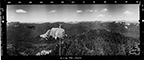
Soda Mountain Lookout Repeat Photographs
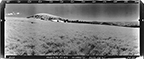
Note: "Osbornes" or "Osborne photos" refers to the three 120-degree panoramic landscape
photographs taken from each Fire Lookout Tower in the 1930s with the specially-constructed
"Osborne Camera" designed by William B. Osborne (Griffith 1945), of the US Forest Service. For more information refer to Arnst 1985, republished with an introduction by Houye and Houye in 2000.
Acknowledgements: This website is being updated and expanded in 2020 thanks to a generous donation from B. Bond Starker of Starker Forests, Inc. Initial funding for this project was provided by the OSU Student Chapter of the Society of American Foresters, via a grant to Mr. Lehman, and by NW Maps Co. Subsequent ORWW projects involving Osborne photos have been largely funded by the Confederated Tribes of Grand Ronde Indians; Douglas County Board of Commissioners; Hull-Oakes Lumber Co.; David Gould, Coos Bay Timber Operators, Inc.; and NW Maps Co.
![]()
© 2002-2020, Oregon Websites and Watersheds Project, Inc. & NW Maps Co.