Lincoln County
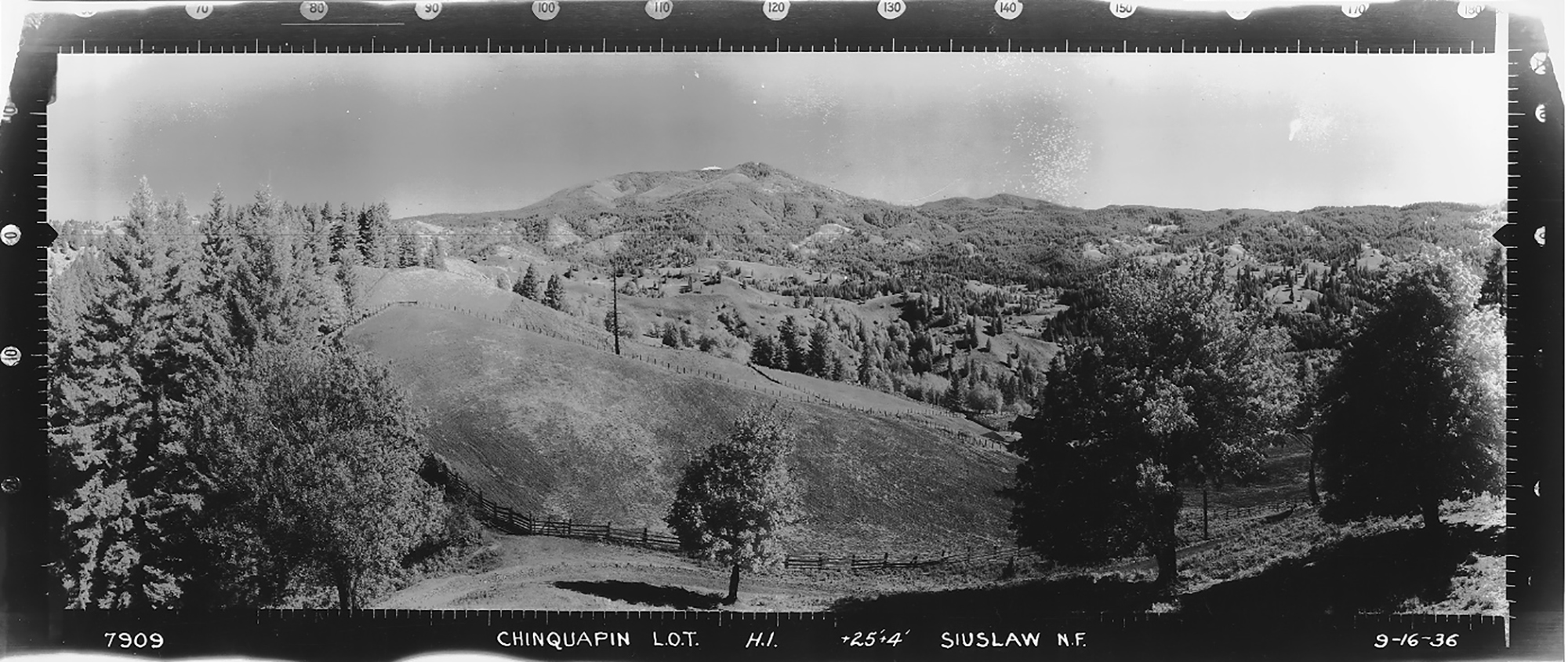
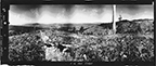
East View, Chinquapin Lookout, Lincoln County (Unknown Photographer, September 16, 1936).
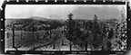
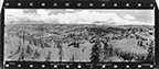
Lincoln County has at least 16 historical lookouts, with six having Osborne panoramic photos taken from 1934 through 1937. Several of the lookouts were subsequently established during the early 1940s as observation points during WW II. Following the War, lookouts were often established in the vicinity of major logging operations for fire protection purposes. By the late 1960s almost all lookouts had been abandoned in favor of aerial surveillance.
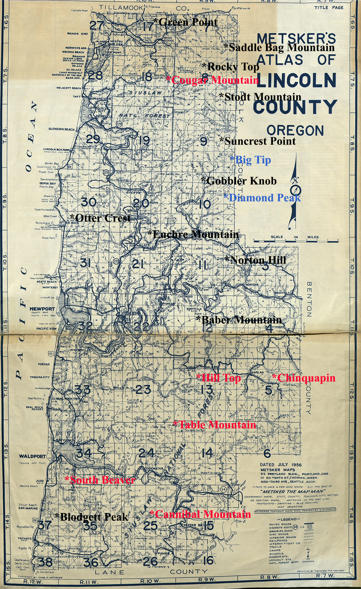
This Lincoln County Fire Lookout Index Map is based on a 1956 Metsker landownership map. Red-lettered lookouts have had Osborne photos taken and used at these locations. Black lettering denotes historical Lookouts for which no Osbornes were taken, and blue-lettered Big Tip and Diamond Peak locations represent Lookouts that appear on Metsker maps, but for which no personal accounts, photos, or other documented histories have been found.
| ICON | LOOKOUT | START | STOP | TSP | RNG | SEC | ELEV. |
|---|---|---|---|---|---|---|---|
| Baber Mountain | 1936 | 1969 | 11 S. | 09 W. | 16 | 1,451 | |
| Blodgett Peak | 1943 | 1953 | 14 S. | 11 W. | 18 | 1,054 | |
 |
Cannibal Mountain | 1934 | 1975 | 14 S. | 10 W. | 15 | 1,946 |
 |
Chinquapin | 1934 | 1950 | 10 S. | 08 W. | 10 | 1,100 |
 |
Cougar Mountain | 1931 | 1970 | 07 S. | 10 W. | 24 | 1,872 |
| Euchre Mountain | 1938 | 1971 | 08 S. | 10 W. | 35 | 2,446 | |
| Green Point | 1939 | 1951 | 06 S. | 10 W. | 22 | 1,303 | |
 |
Hilltop | 1934 | 1950 | 12 S. | 09 W. | 11 | 1,392 |
| Norton Hill | 1939 | 1967 | 10 S. | 08 W. | 18 | 1,000 | |
| Otter Crest | 1936 | 1938 | 09 S. | 11 W. | 28 | 1,200 | |
| Rocky Top | 1920 | 1950 | 07 S. | 09 W. | 9 | 2,890 | |
| Saddlebag Mountain | 1952 | 1969 | 06 S. | 09 W. | 35 | 3,100 | |
 |
South Beaver | 1934 | 1953 | 13 S. | 11 W. | 32 | 518 |
| Stodt Mountain | 1953 | 1972 | 07 S. | 09 W. | 35 | 3,128 | |
| Suncrest Point | 1949 | 1960 | 08 S. | 09 W. | 14 | 1,986 | |
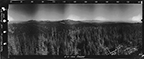 |
Table Mountain | 1915 | 1973 | 13 S. | 09 W. | 6 | 2,820 |
![]()
© 2006-2020, Oregon
Websites and Watersheds Project, Inc. & NW Maps Co.