Upper South Umpqua Headwaters Precontact Reference Study
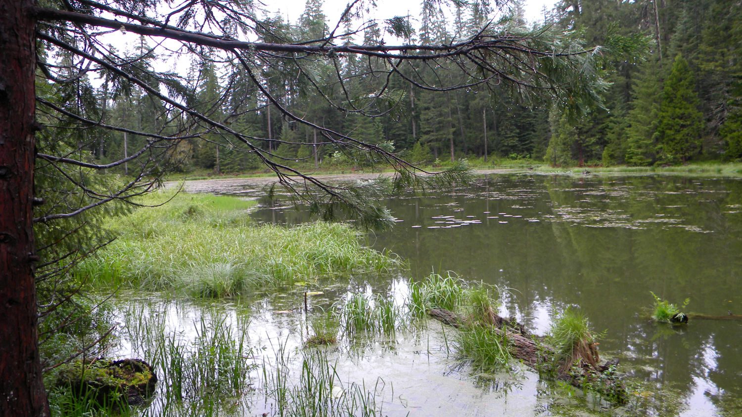
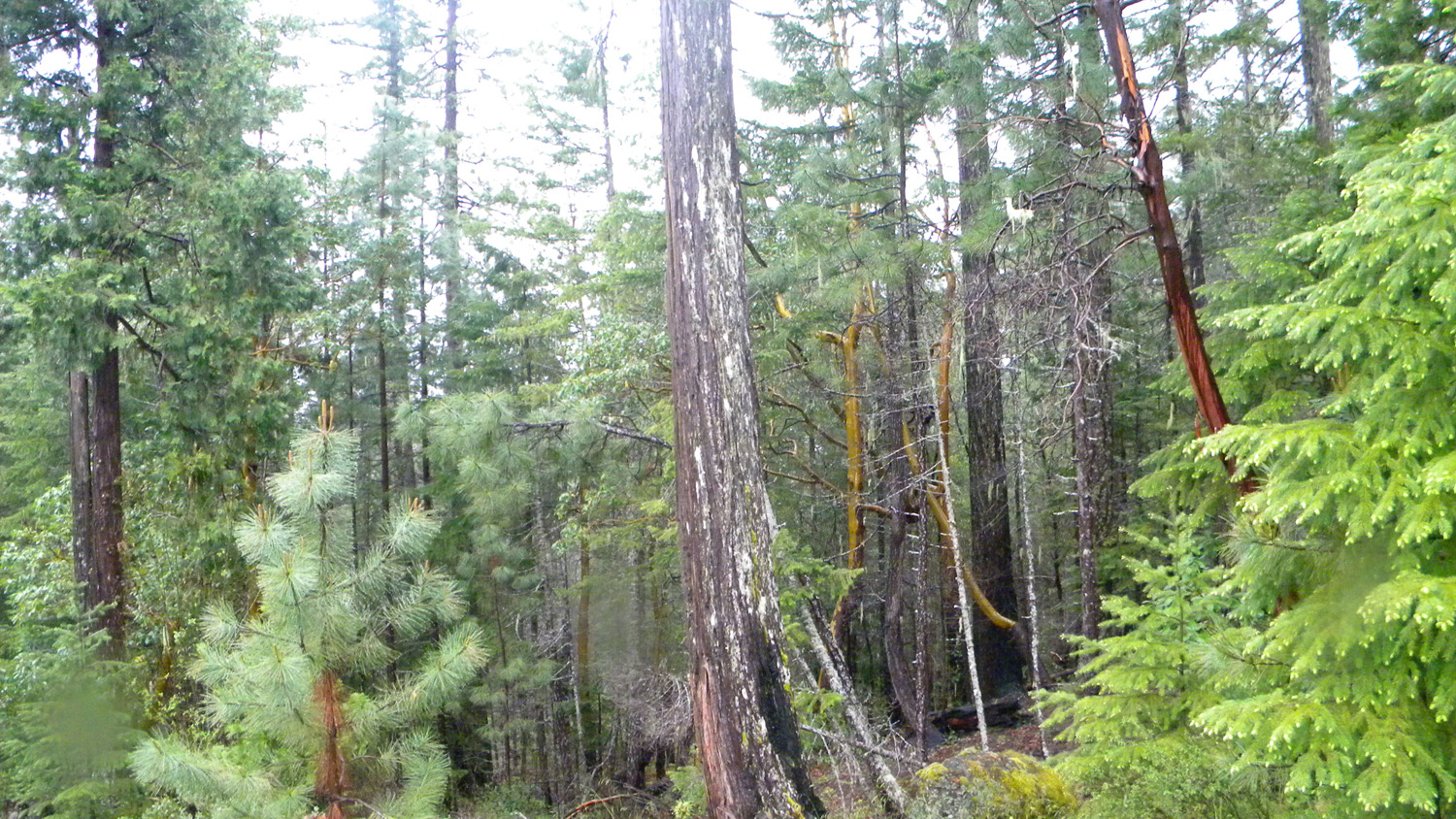
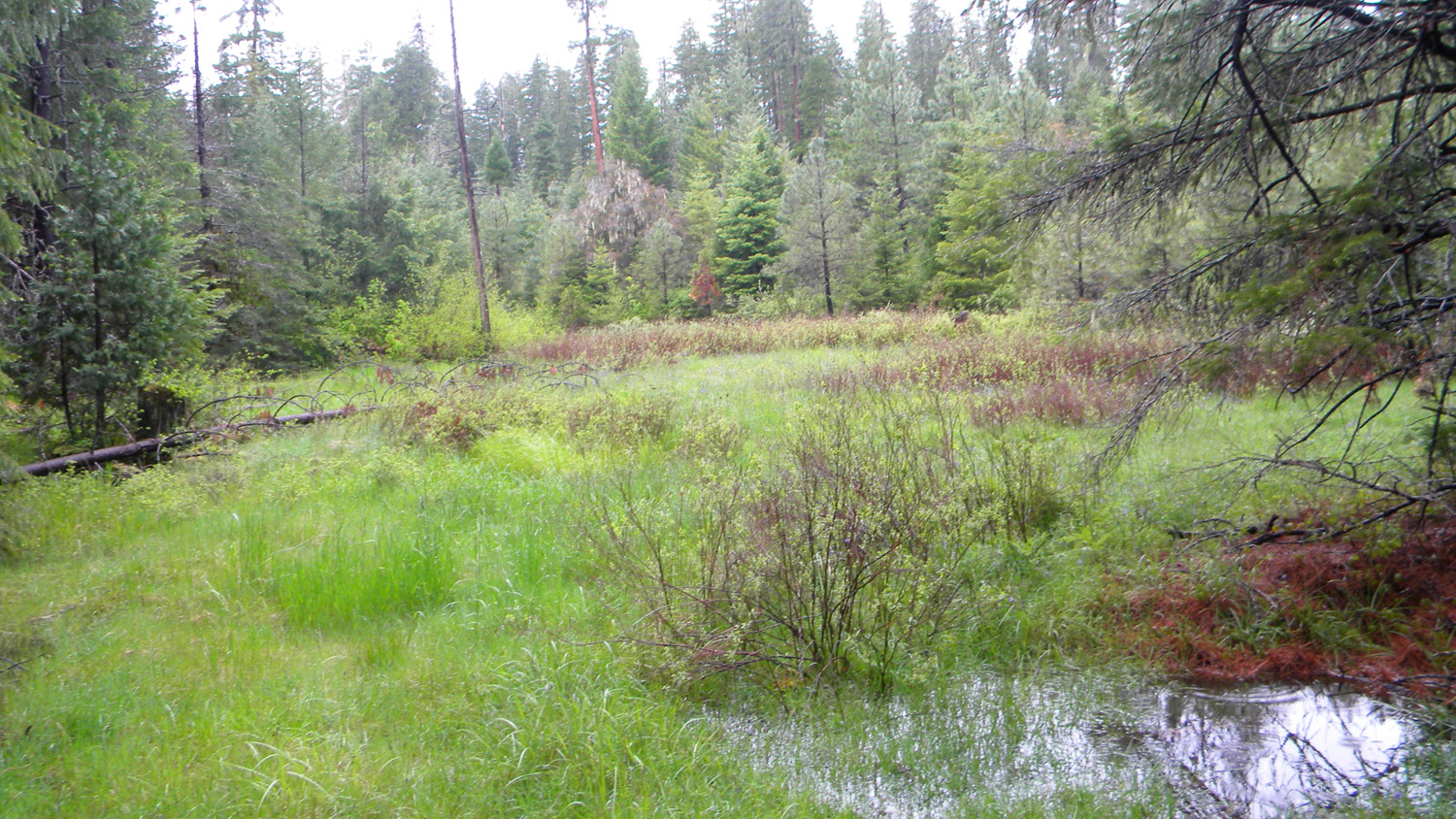
Five Lakes
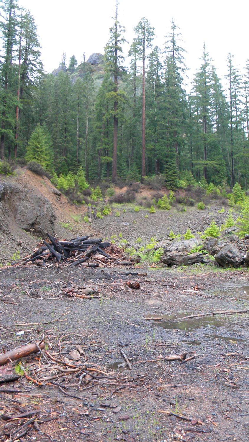
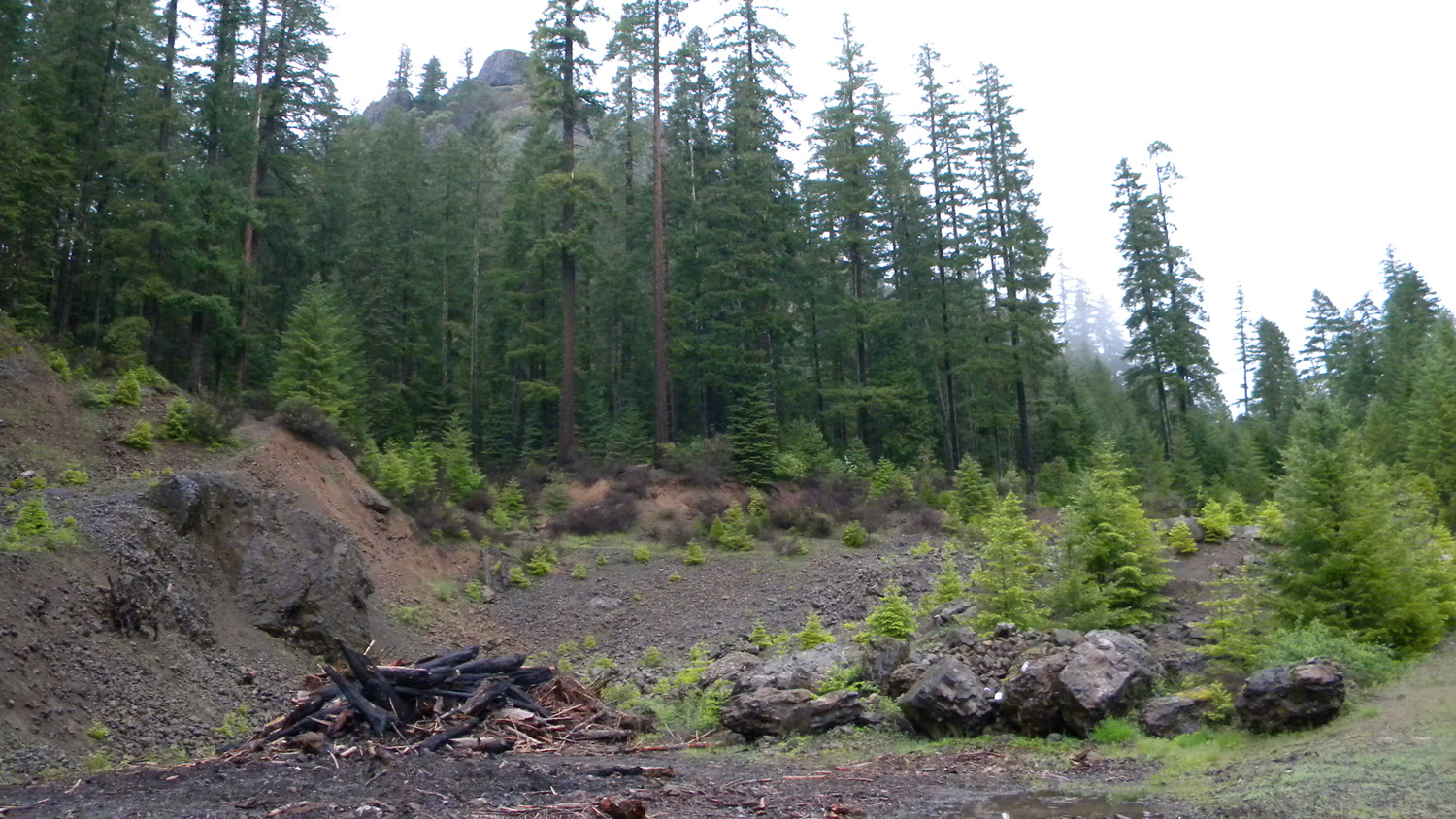
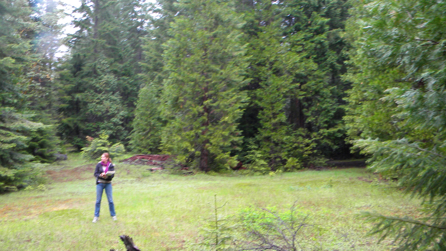
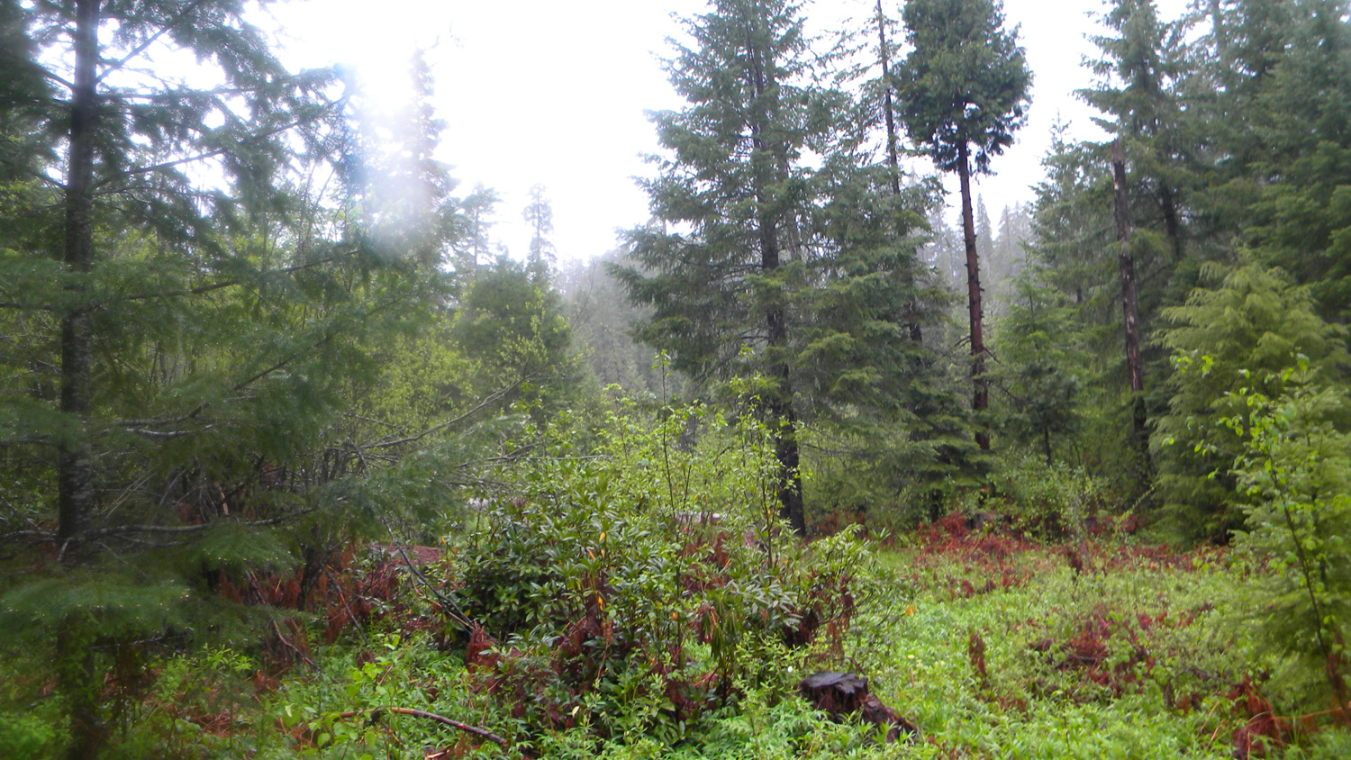
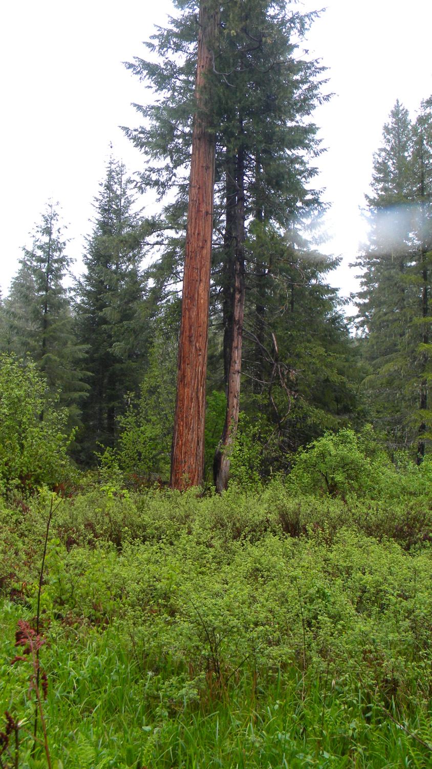
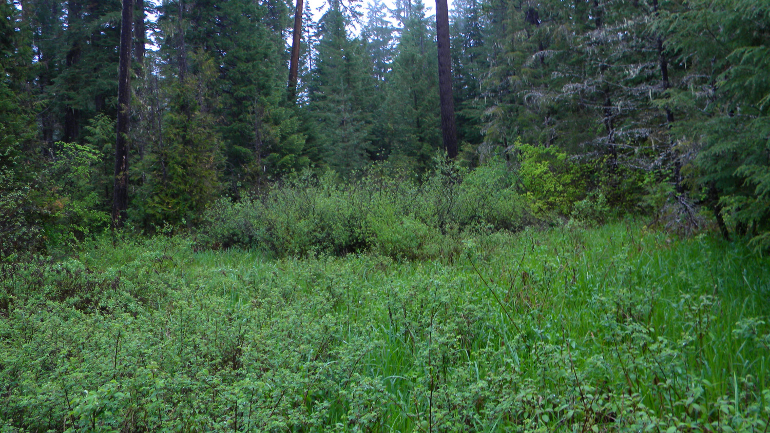
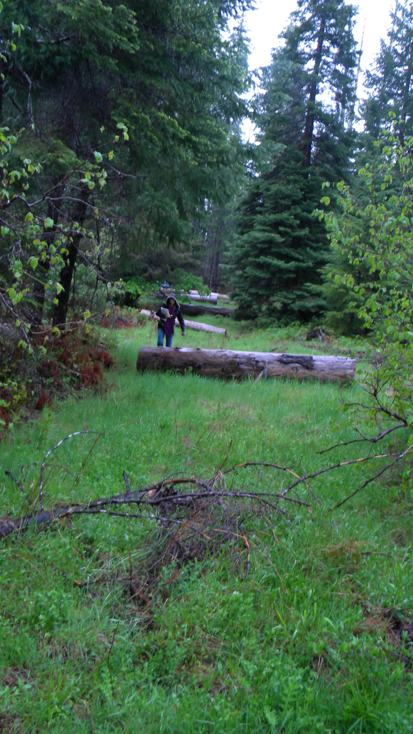
Five Lakes, South Umpqua River, Douglas County, Oregon, June 2, 2010 (B. Zybach).
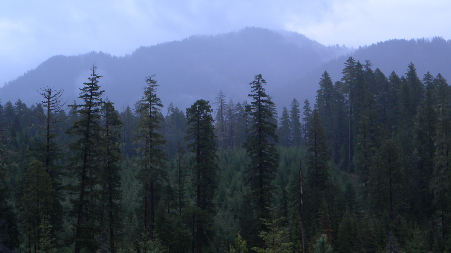
Five Lakes Area of Special Interest is located
within the Black Rock Fork subbasin of the South
Umpqua River drainage in Tsp. 28 S., Rng. 2 E.
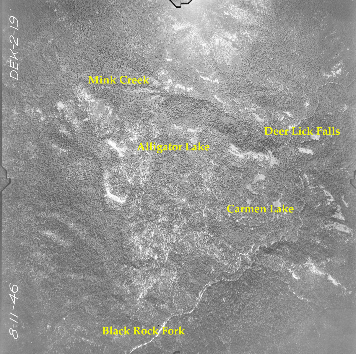
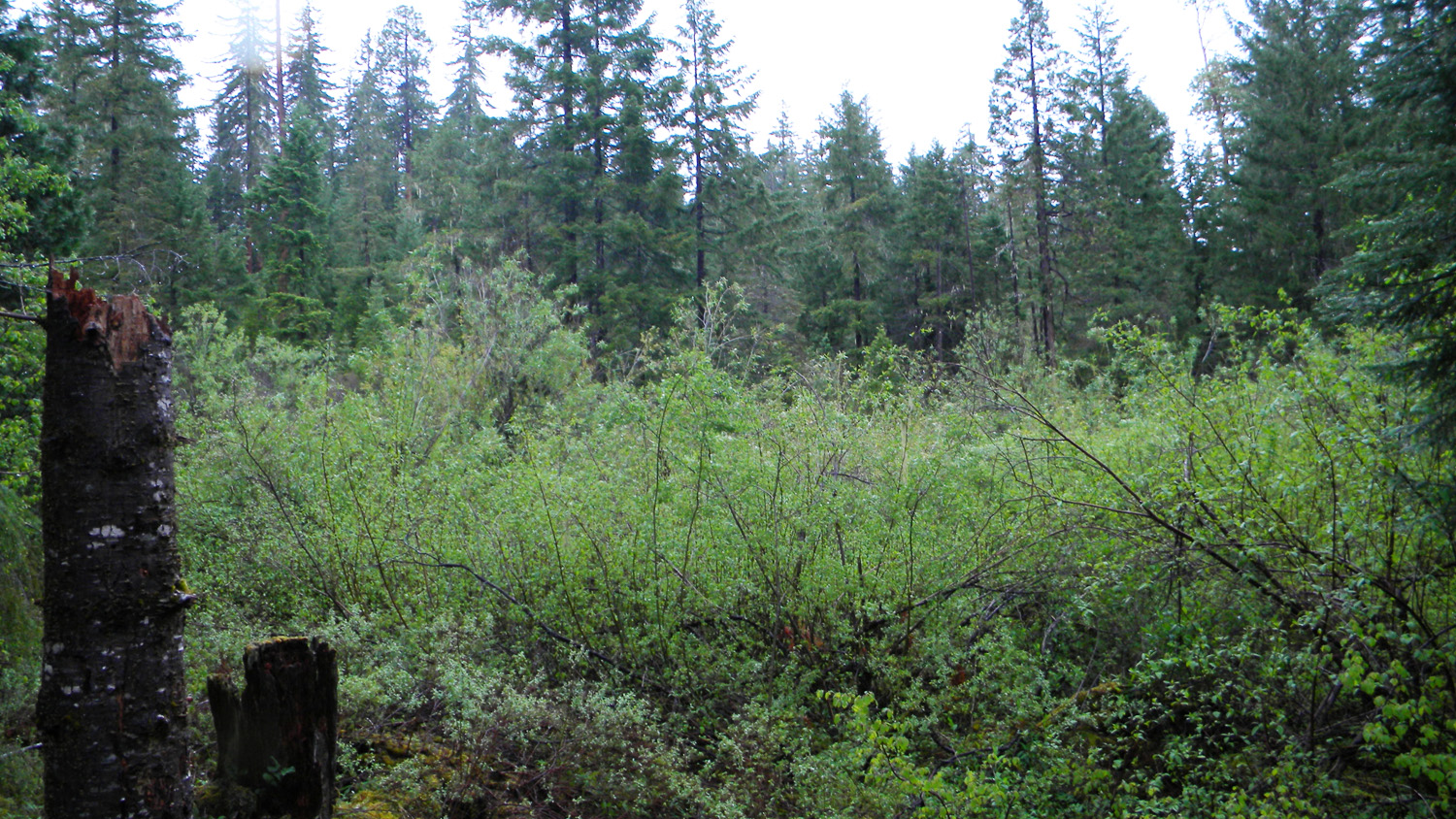
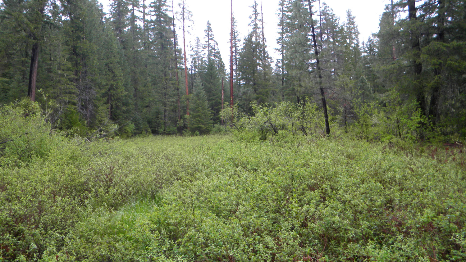
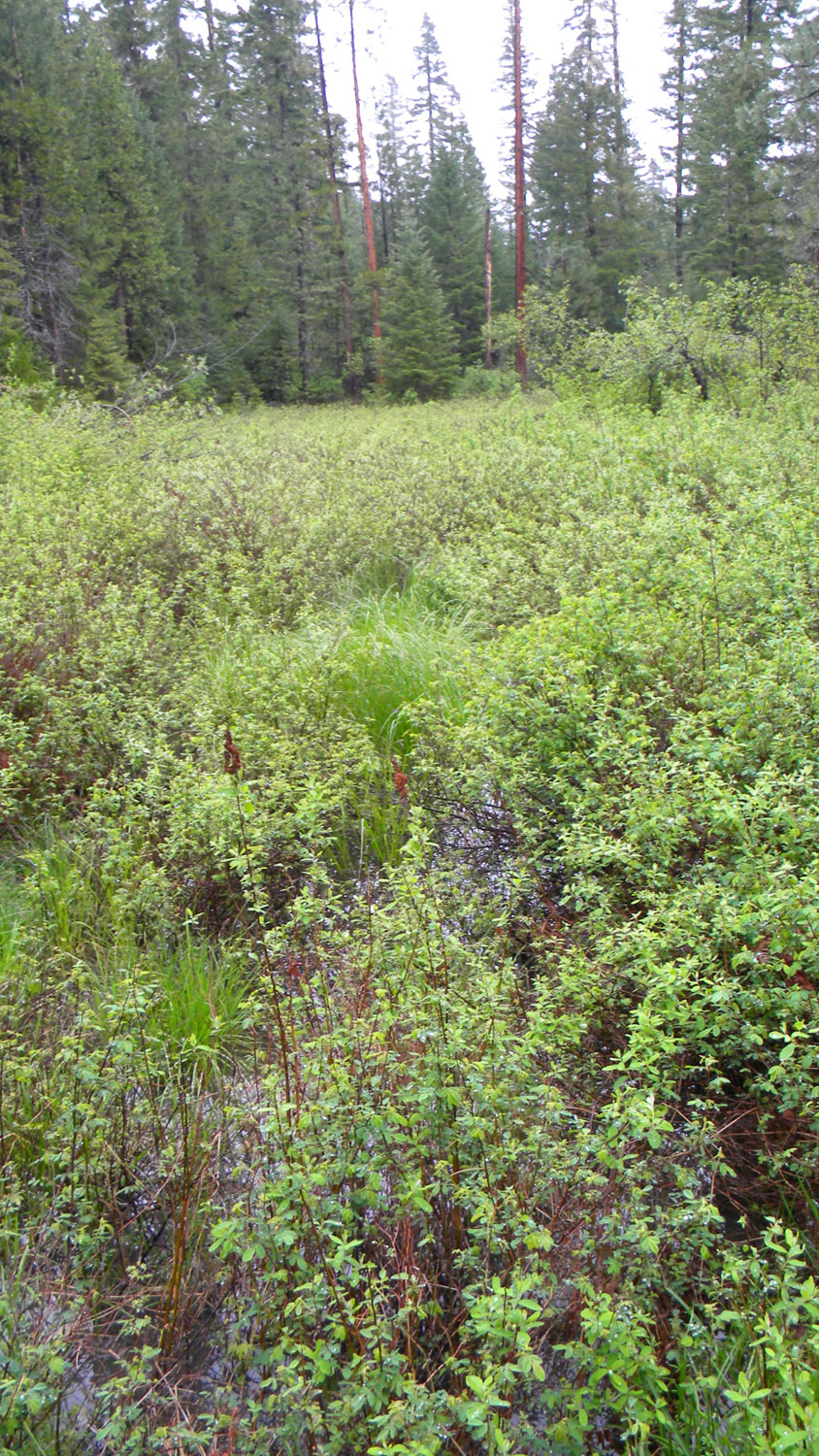
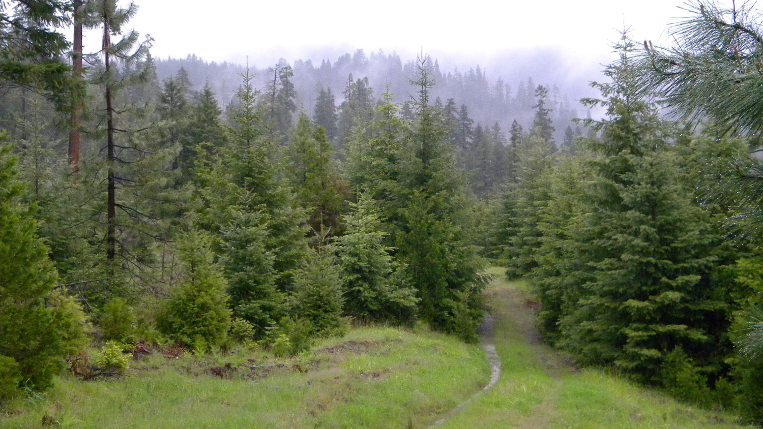
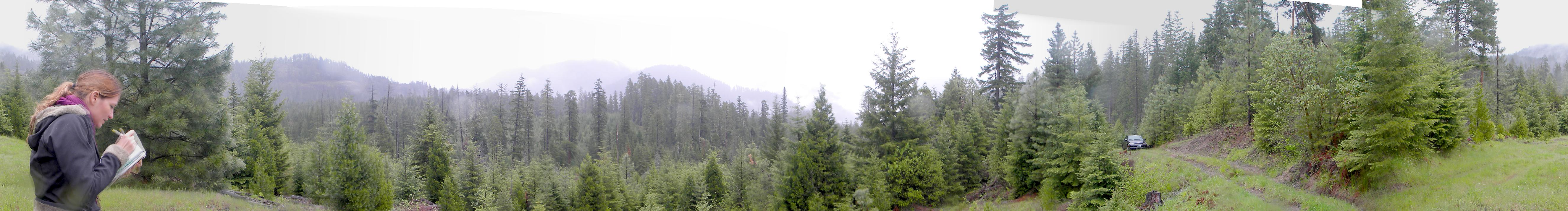
This page includes specific maps
and aerial photographs of Five Lakes, panoramas
and QTVR video files constructed from the
2010 field research studies, and individual historical
and 2010 documentary photographs showing current
condtions, native plants and animals, and other points of interest related
to this study area. Panoramas and QTVRs
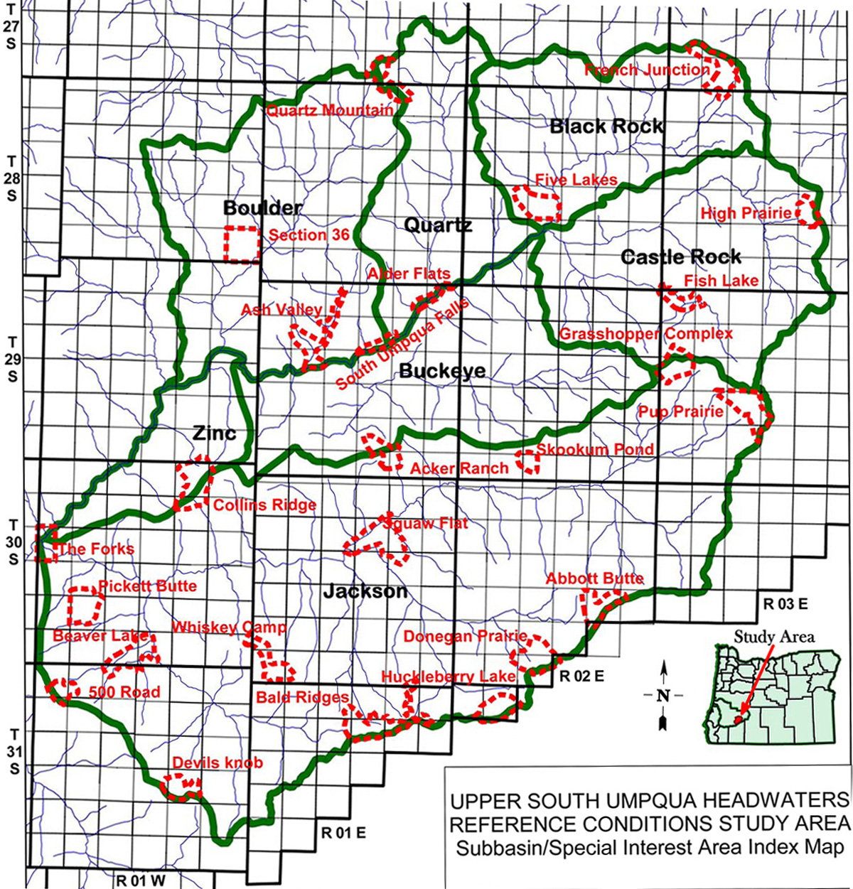

Subbasin Index Map
Tsp. 28 S., Rng. 2 E.
Augus 11, 1946
4310-4319_Carmen_Lake-360![]()
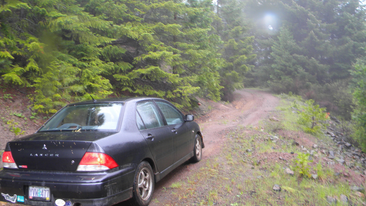
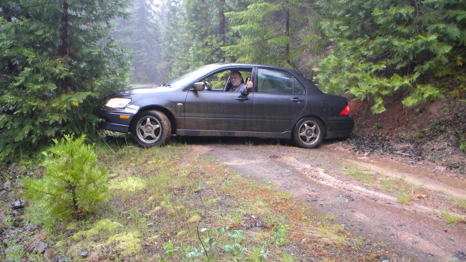
4330-4335_371_Road_Blocked-180![]()
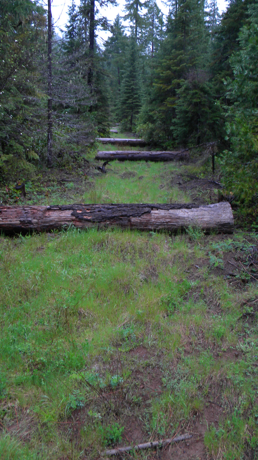
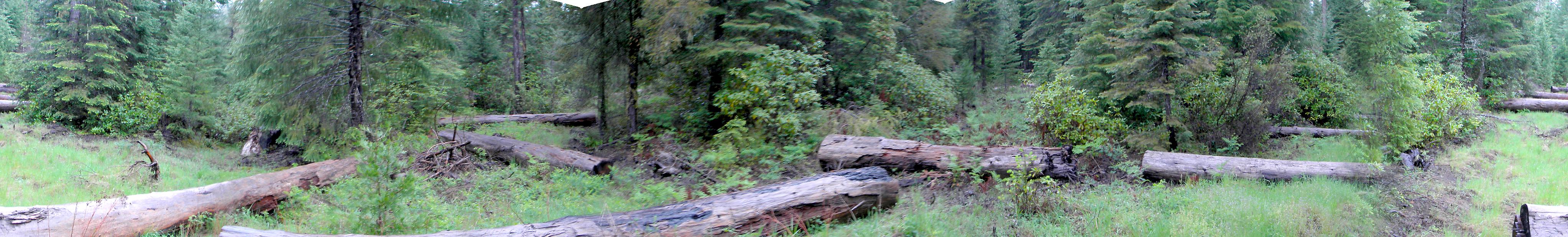
4346-4349_Giant_Strewn_Logs-180![]()

4203_500_Road_Blocked4204_500_Road4205_500_Road4206_500_Road4207_500_Road

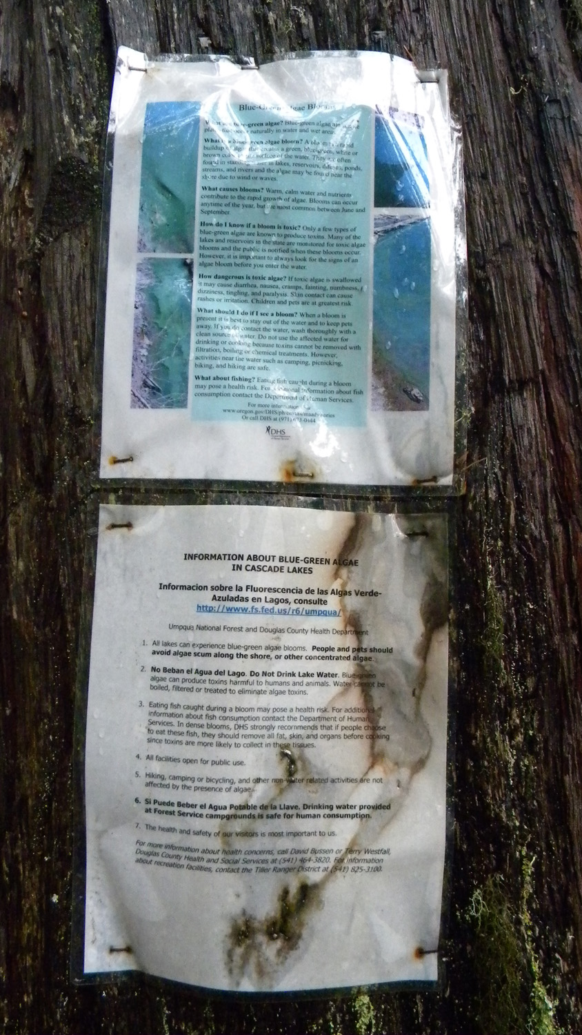
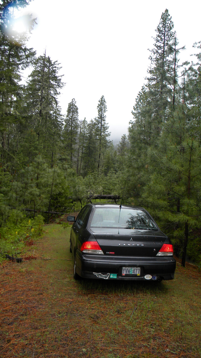
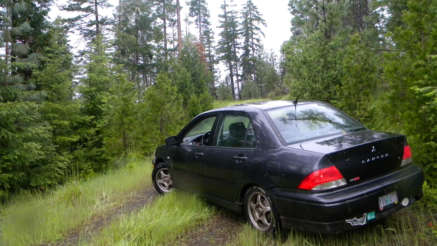
4208_500_Road_Blocked4209_Mitsubishi4308_Quarry4309_Quarry4320_Blue_Green_Algae
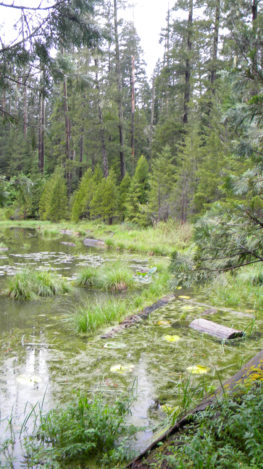

4321_Carmen_Lake4322_Carmen_Lake4323_Camas_Marsh4324_Willow_Marsh4326_370_Road_Marsh
4327_370_Road_Marsh4329_370_Road_End4336_371_Road_View4337_371_Road_View4339_371_Road
4340_370_Road_Marsh4341_370_Road_Marsh4343_370_Road_Marsh4344_Five_Lakes_Logs4345_Five_Lakes_Logs
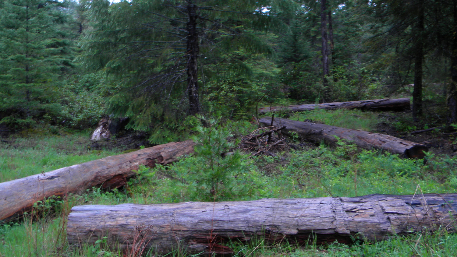
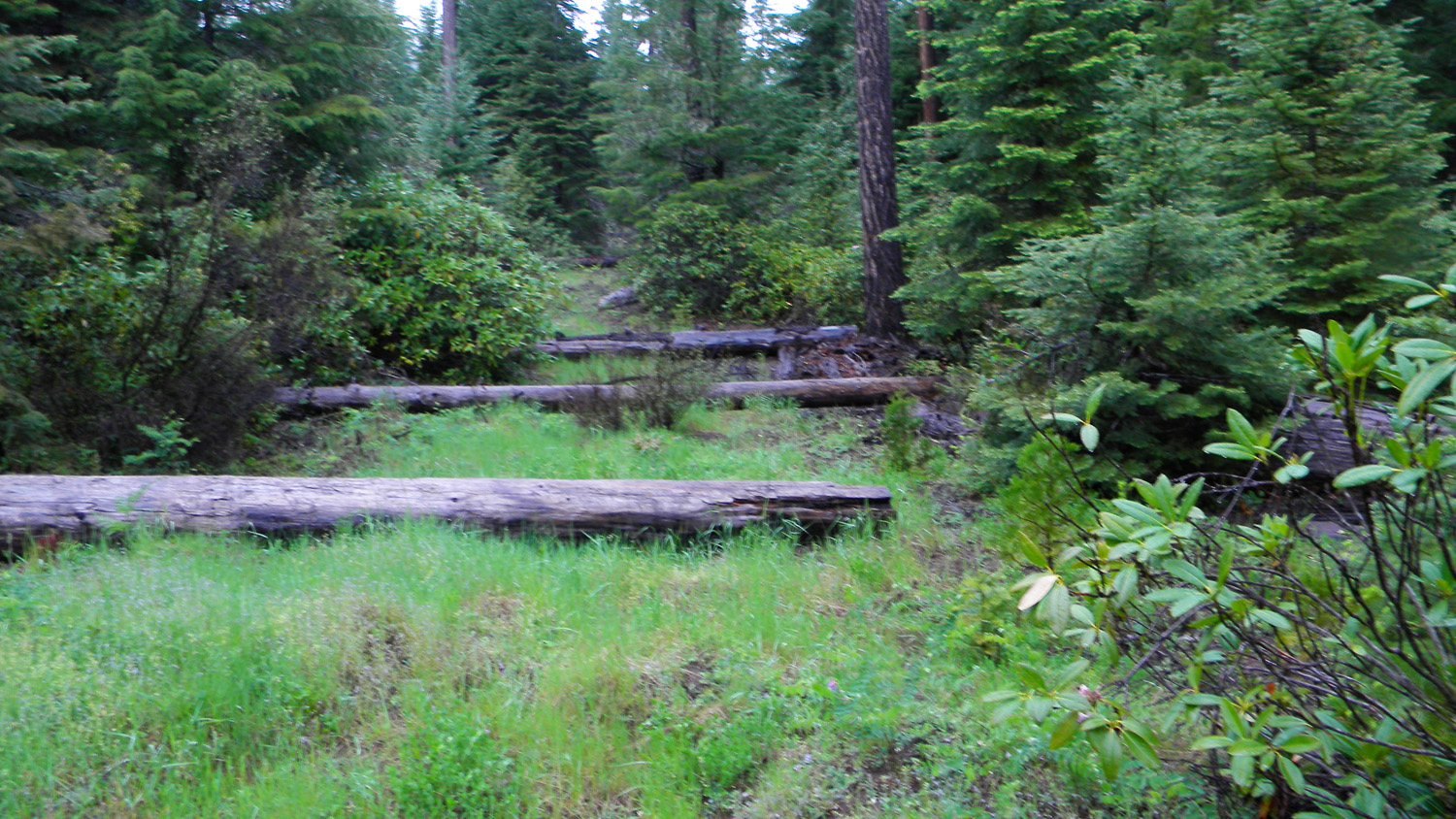
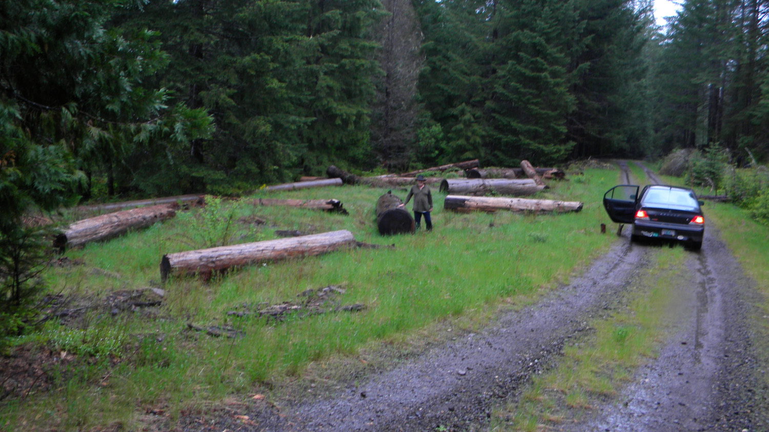
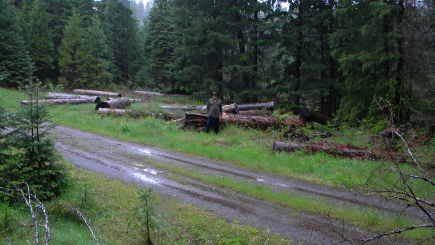
4347_Five_Lakes_Logs4350_Placed_Logs4352_Five_Lakes_Logs4353_Five_Lakes_Logs