Upper South Umpqua Headwaters Precontact Reference Study
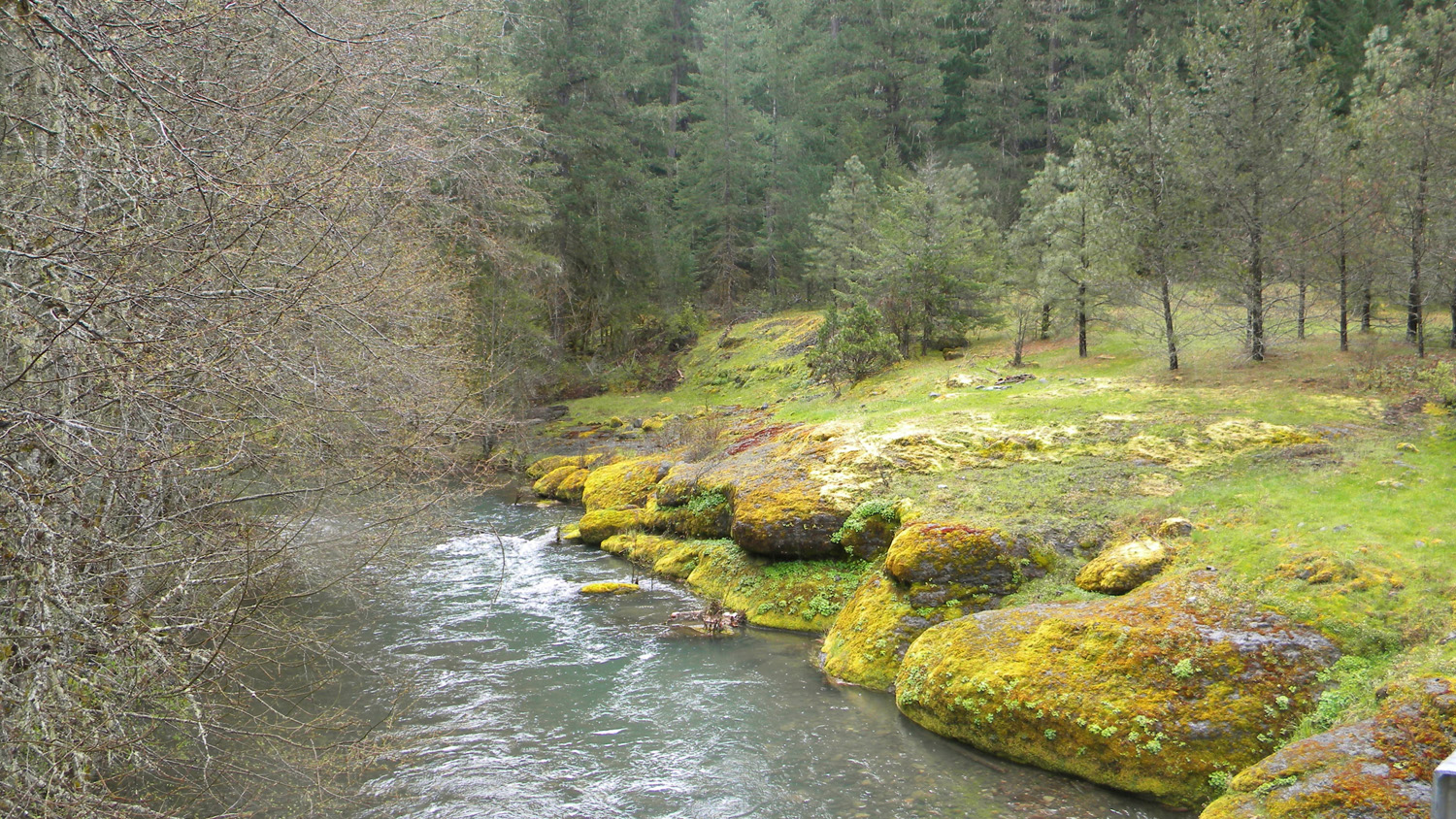
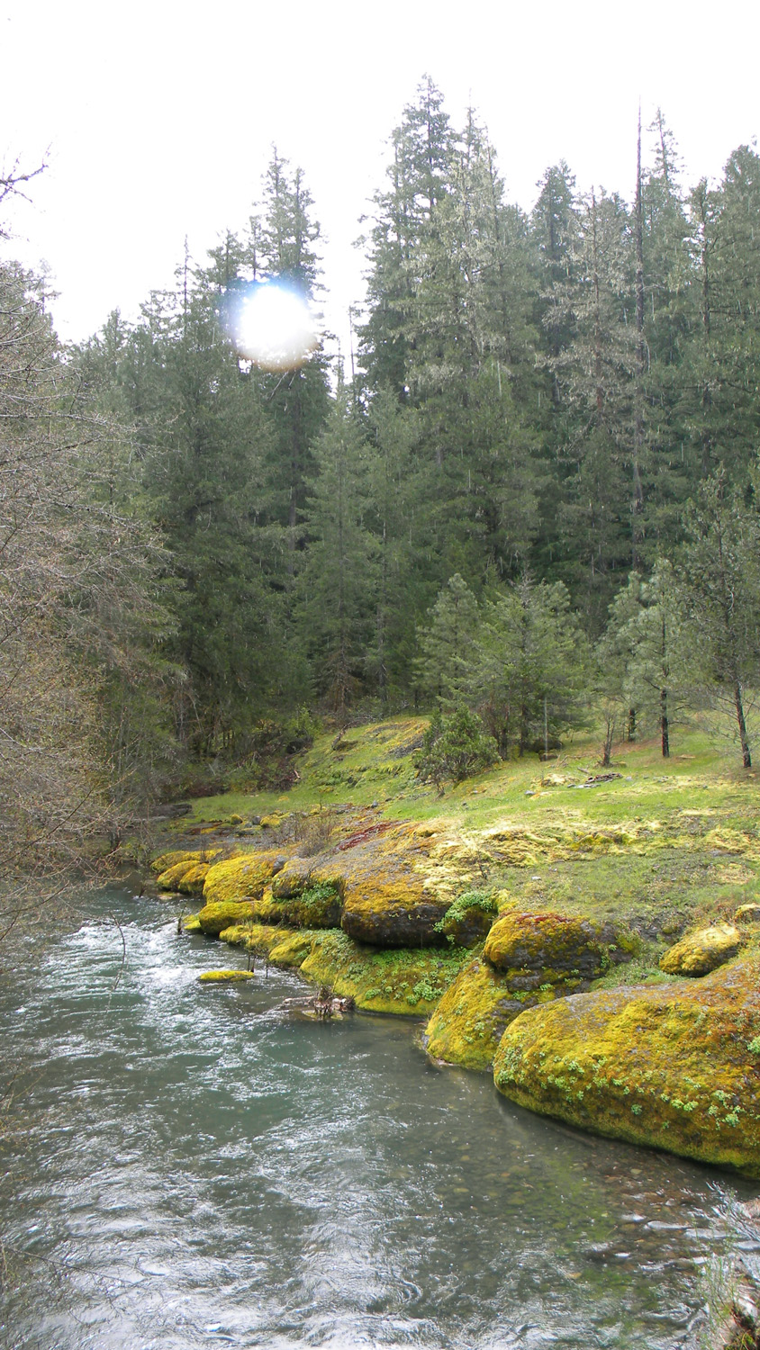
Squaw Flat
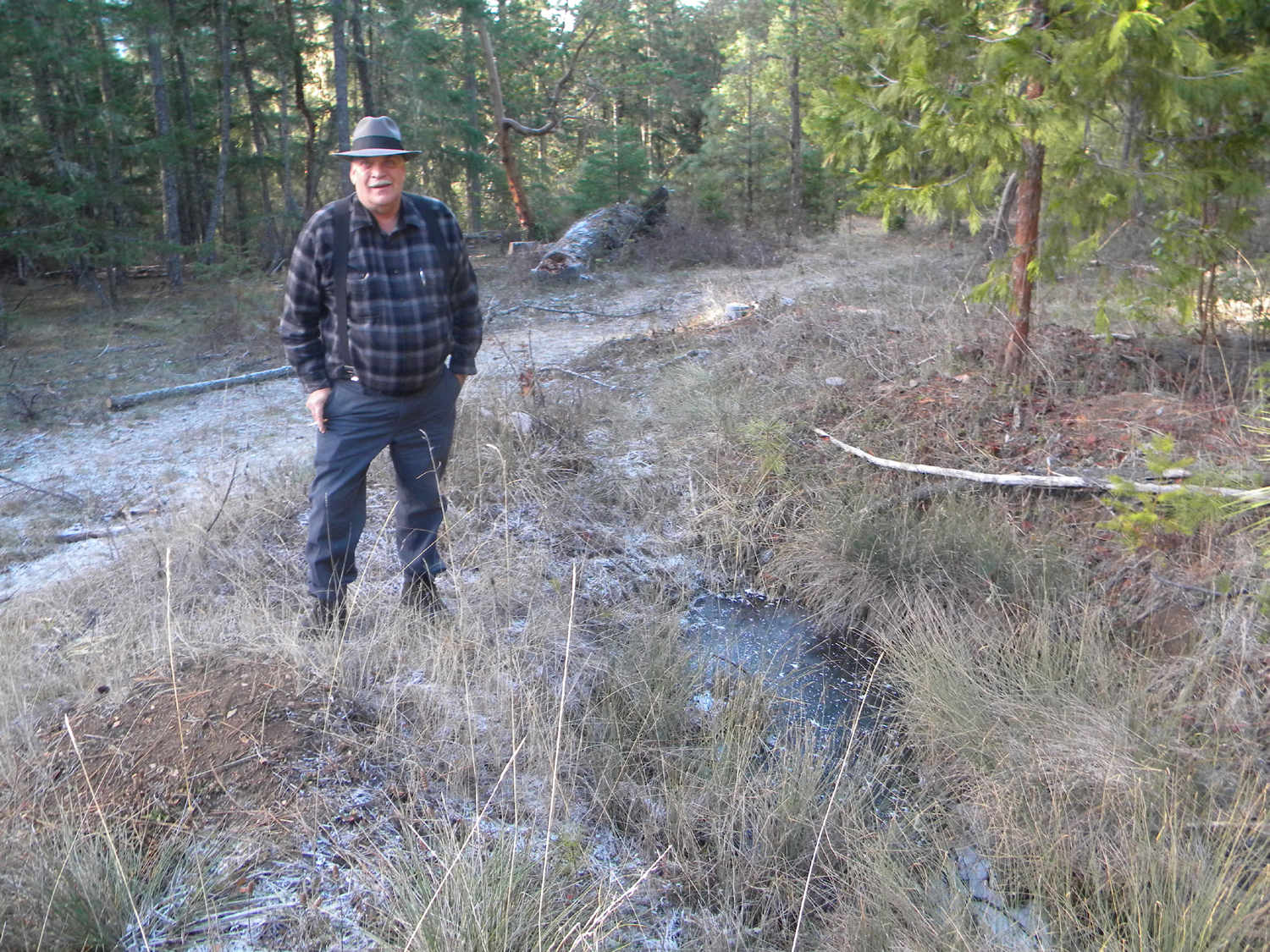
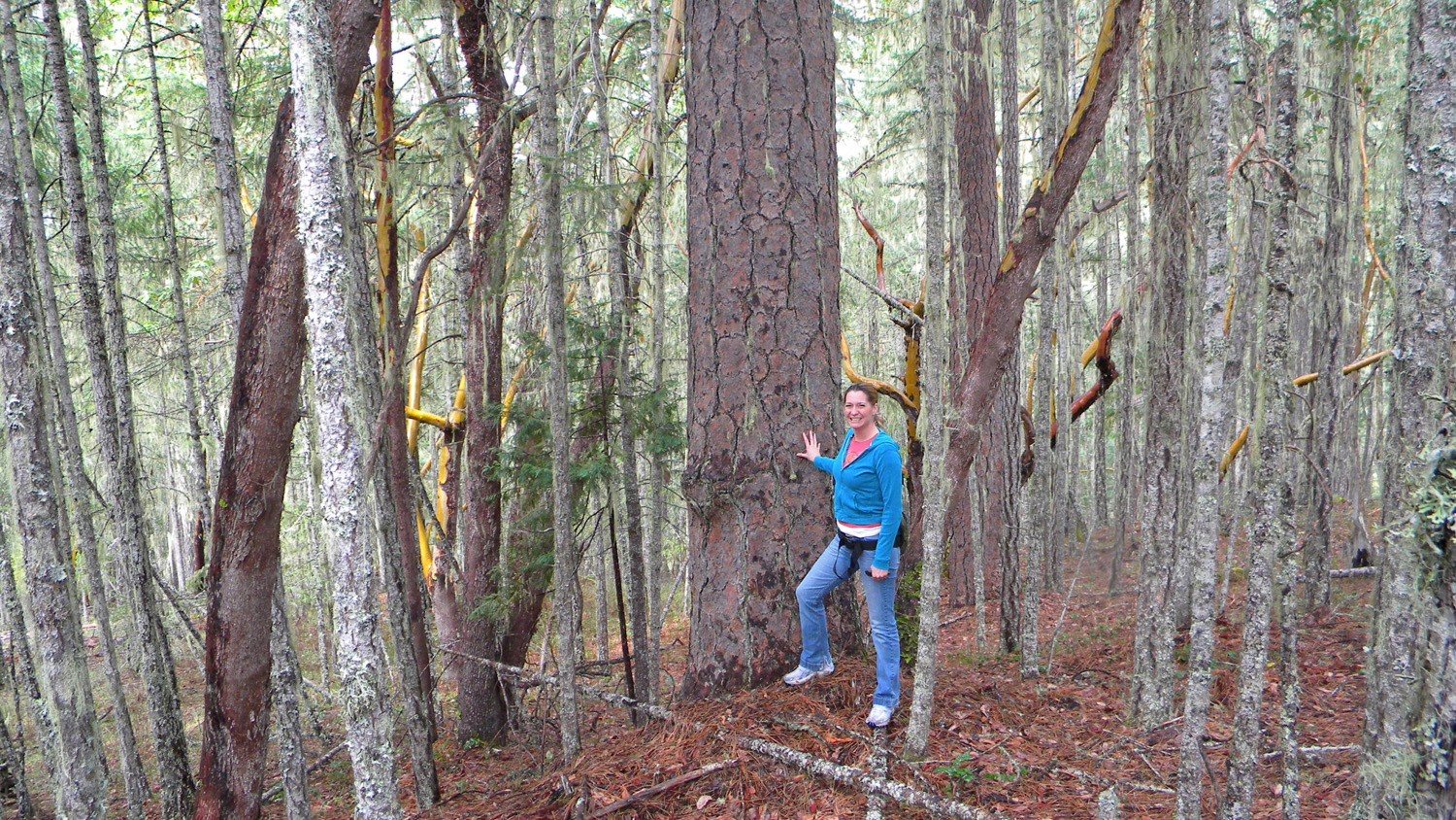
Joe Laurance, Douglas County Commissioner, Squaw Flat, South Umpqua River, Douglas County, Oregon, December 13, 2009 (B. Zybach).
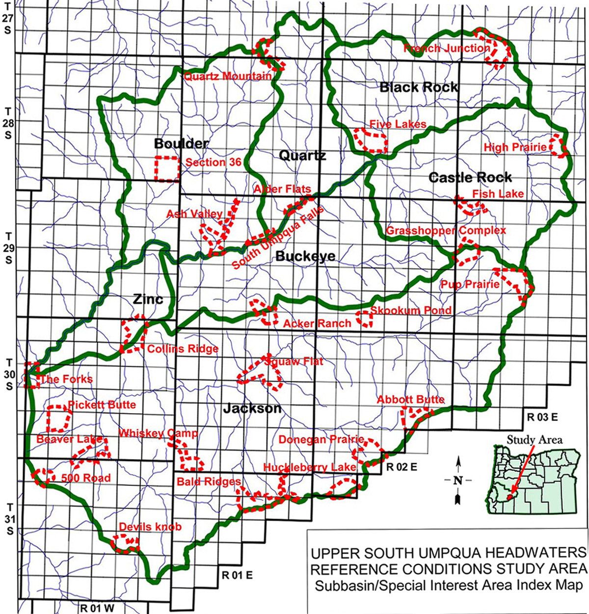
Squaw Flat Area of Special Interest is located
within the Jackson Creek subbasin of the South
Umpqua River drainage in Tsp. 30 S., Rng. 1 E.
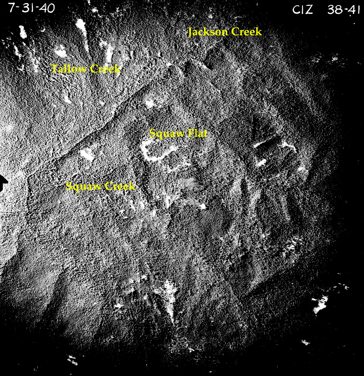
This page includes specific maps
and aerial photographs of Squaw Flat, panoramas
and QTVR video files constructed from the
2010 field research studies, and individual historical
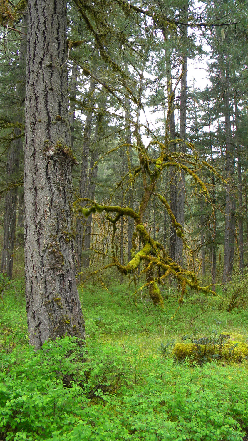
and 2010 documentary photographs showing current
condtions, native plants and animals, and other points of interest related
to this study area. Panoramas and QTVRs © 2010, 2020 Oregon
Websites & Watersheds Project, Inc. & NW Maps Co.
![]()
Subbasin Index Map
Tsp. 30 S., Rng. 1 E.
July 31, 1940
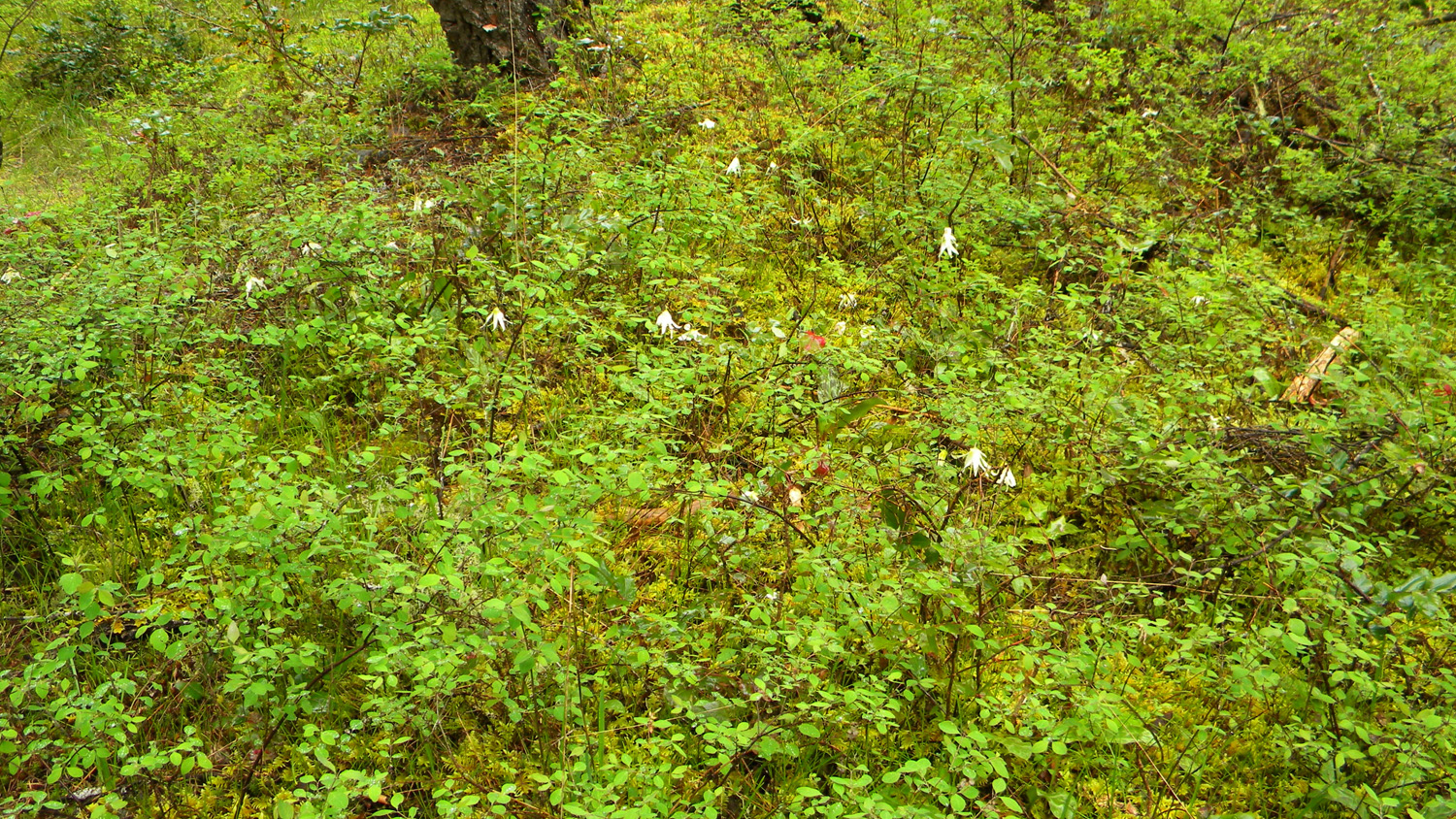
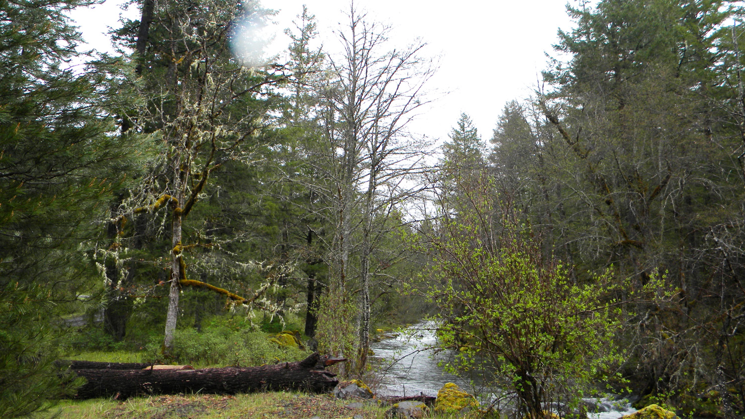
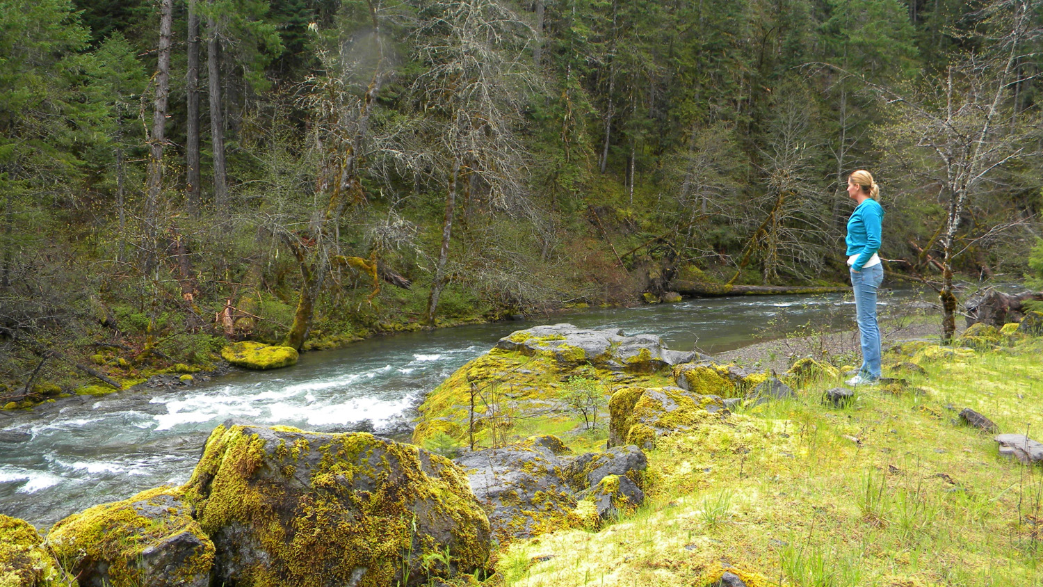
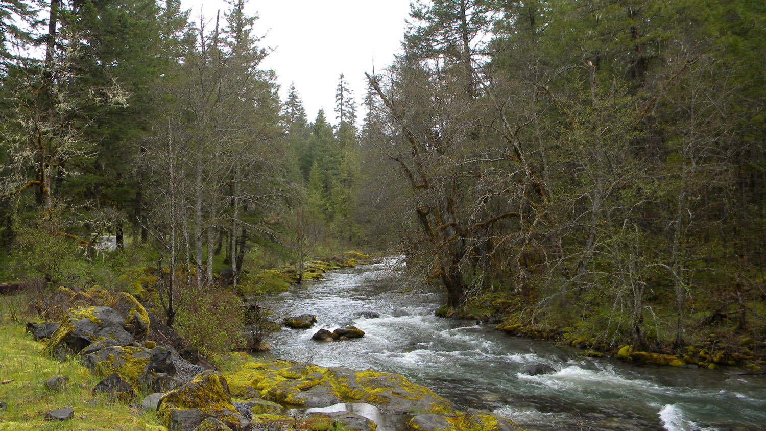
1571_Squaw_Flat1572_Fawn_Lilies1573_Squaw_Flat1574_Jackson_Creek1575_Squaw_Flat
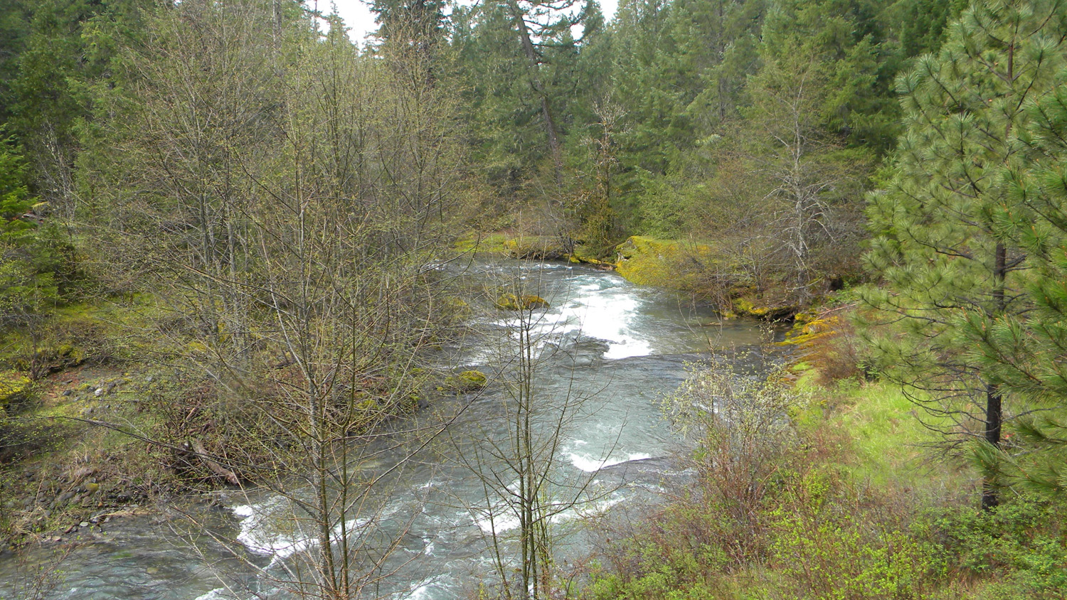
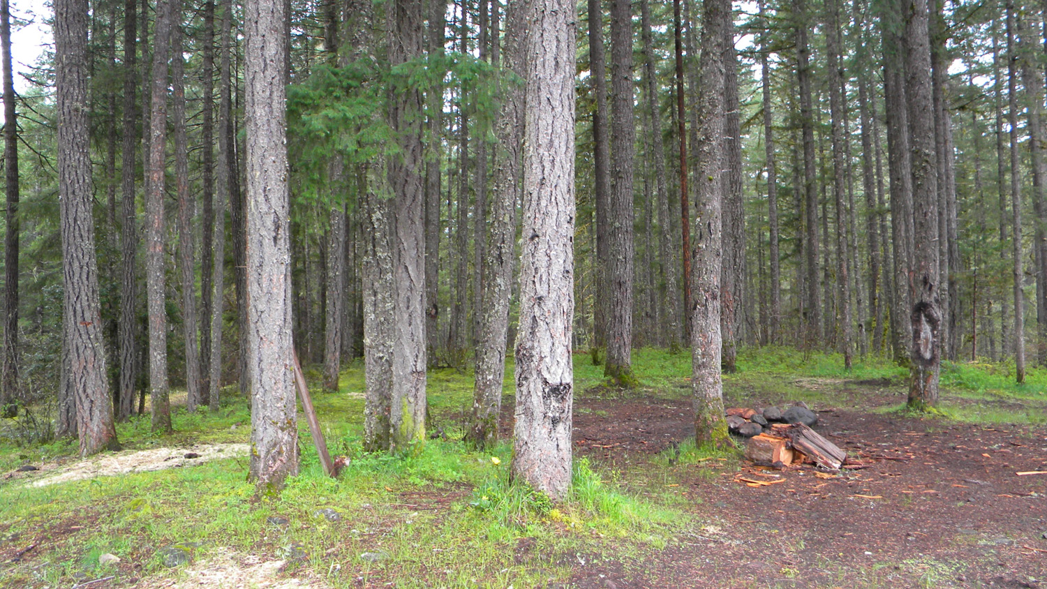
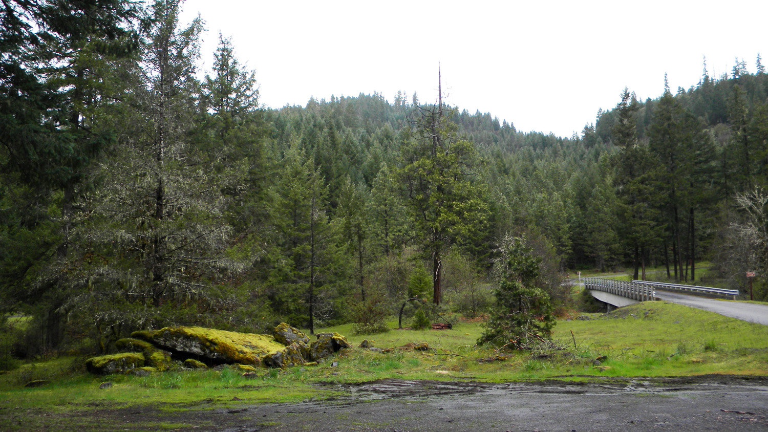
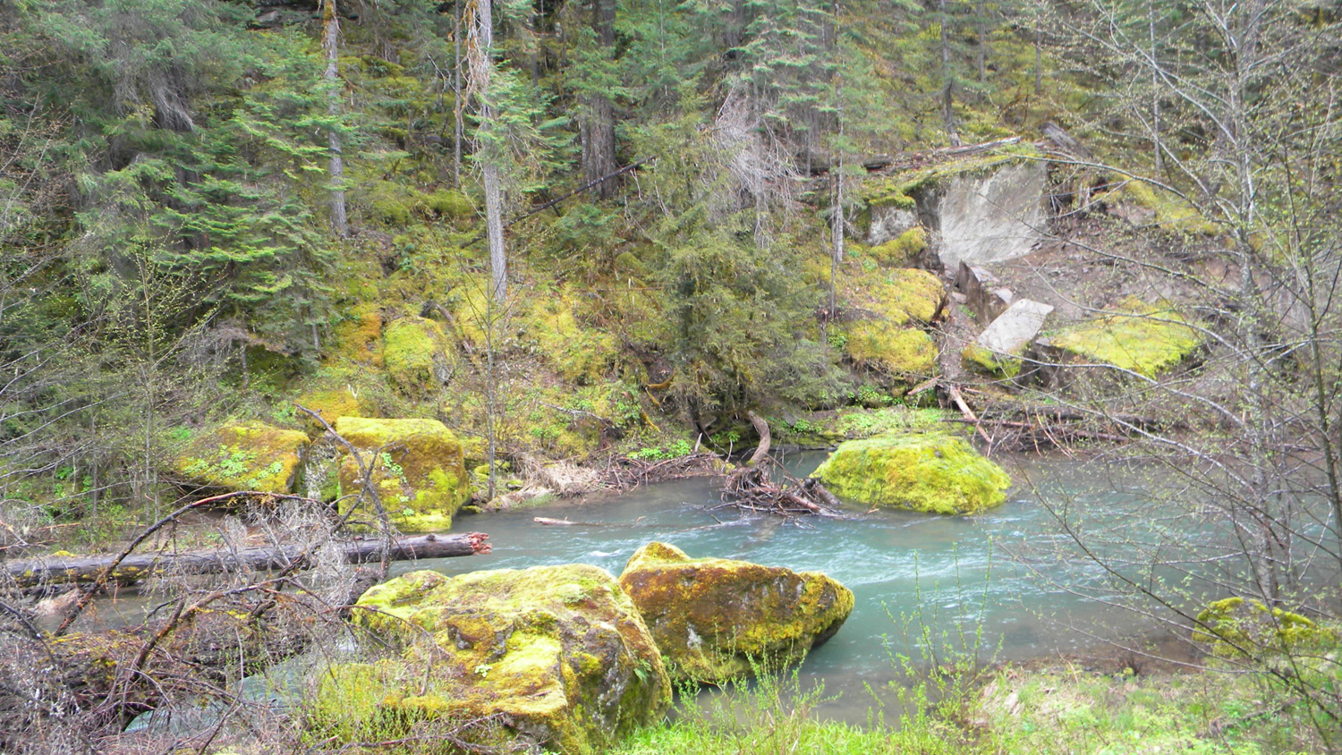
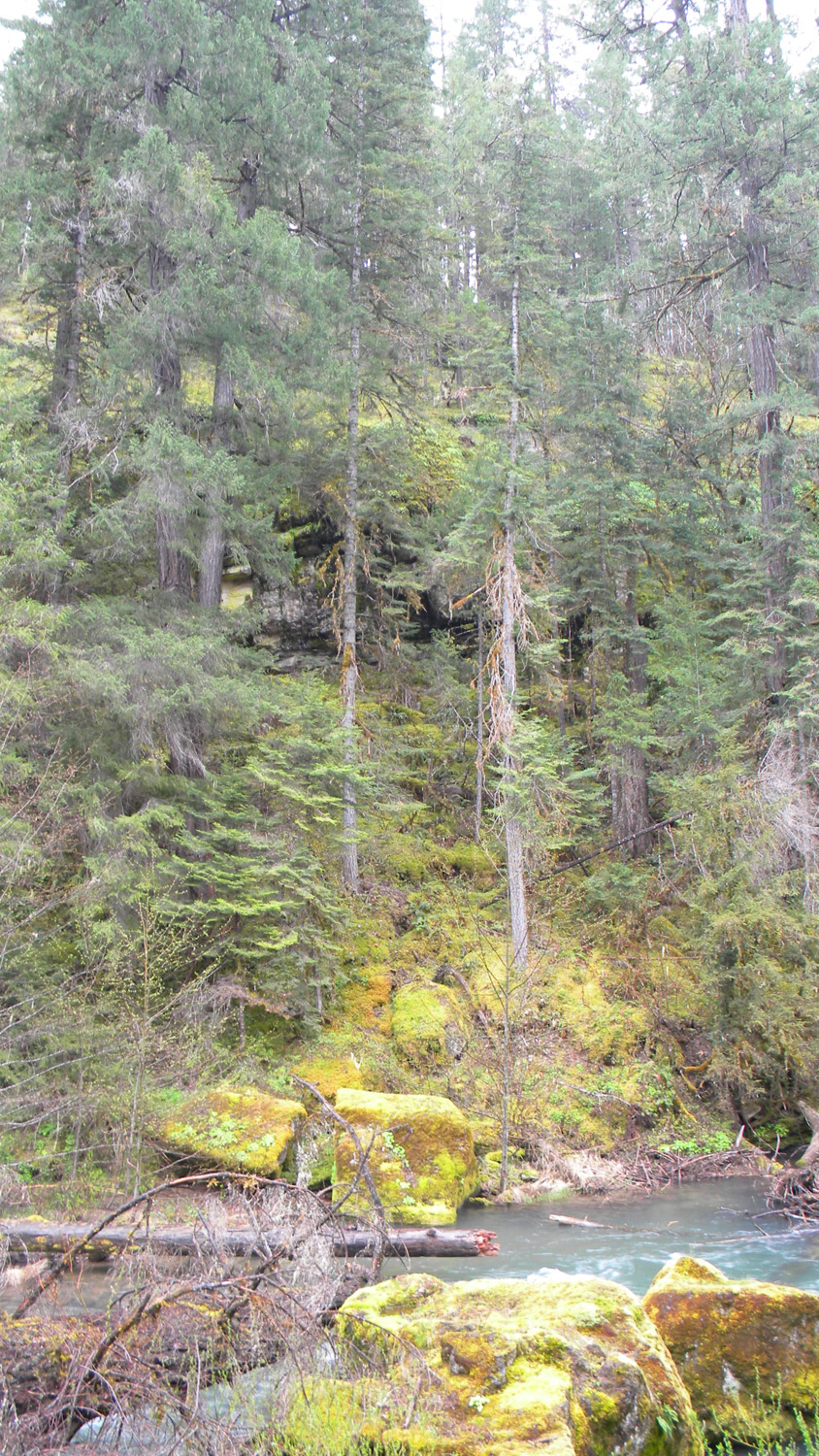
1576_Camp1577_Camp1579_Downstream1580_Tree_Stand1581_Bridge

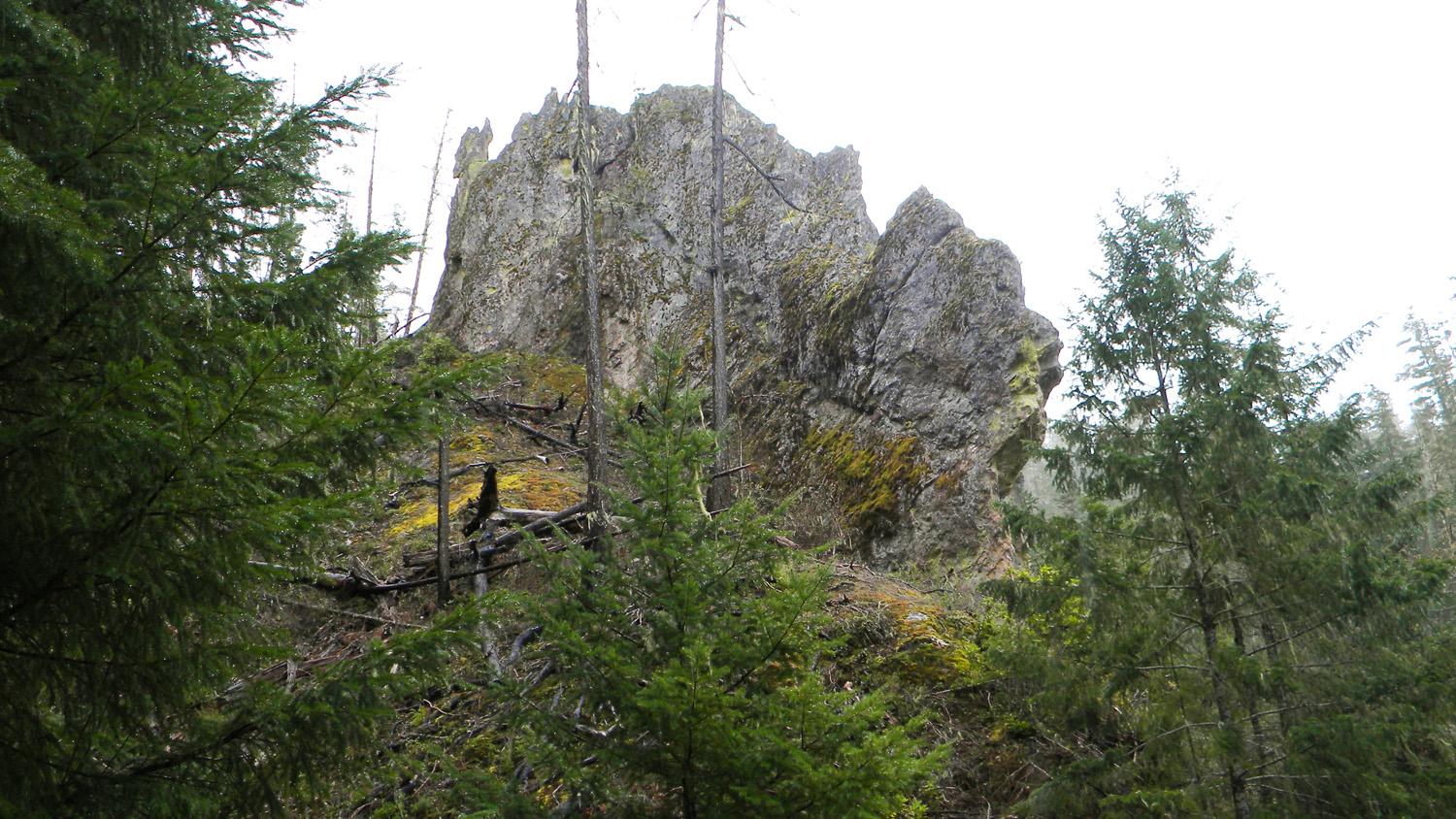
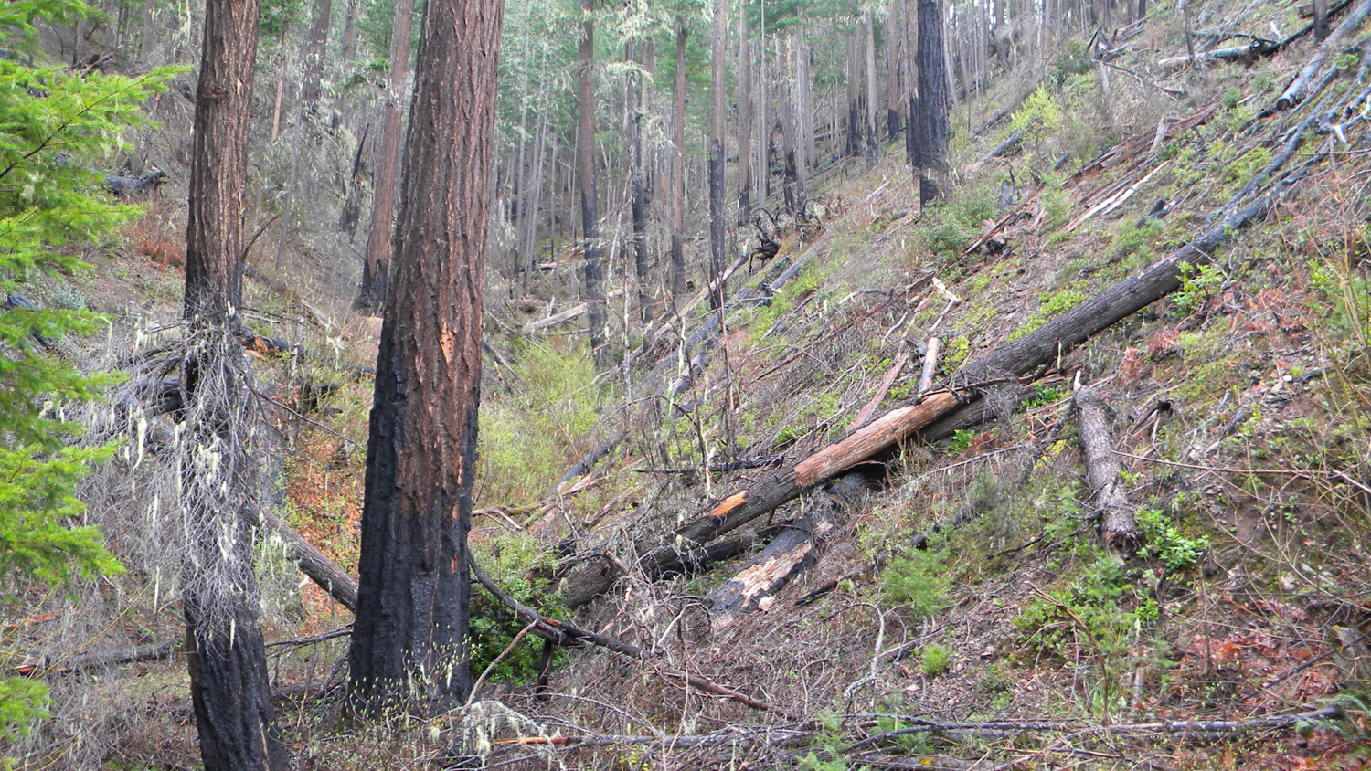
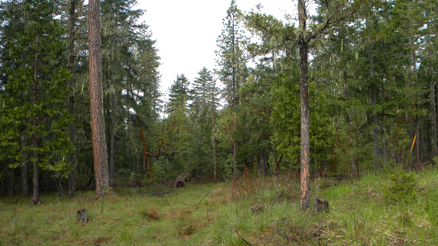
1582_Rock_Face1583_Rock_Face1584_Burn1588_Squaw_Flat1596_Pine
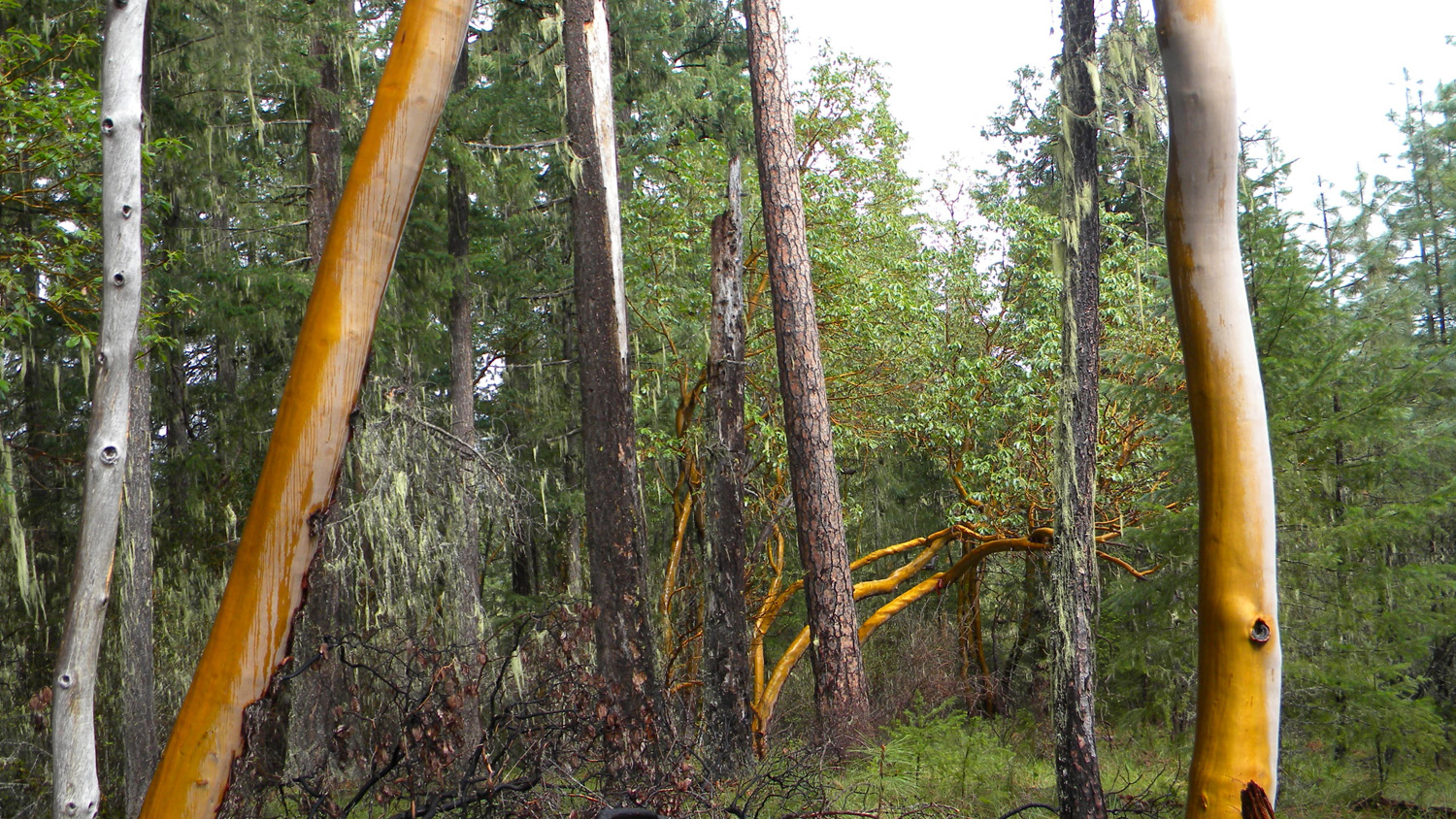
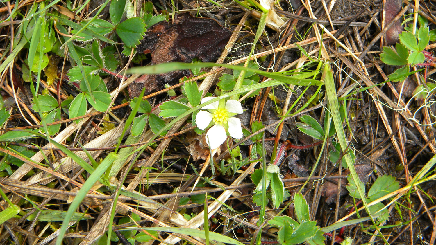
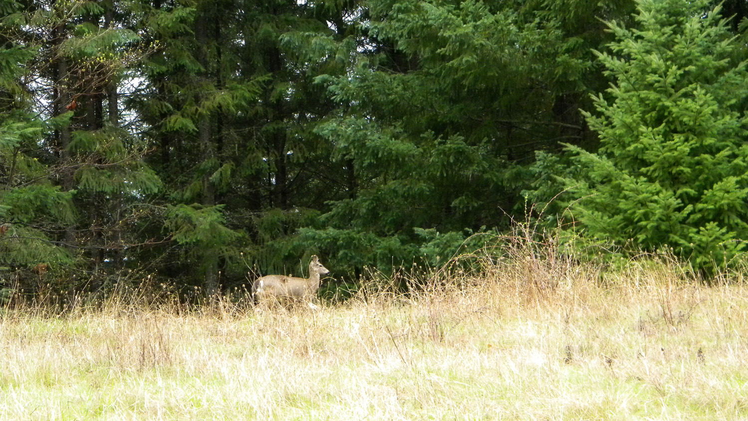
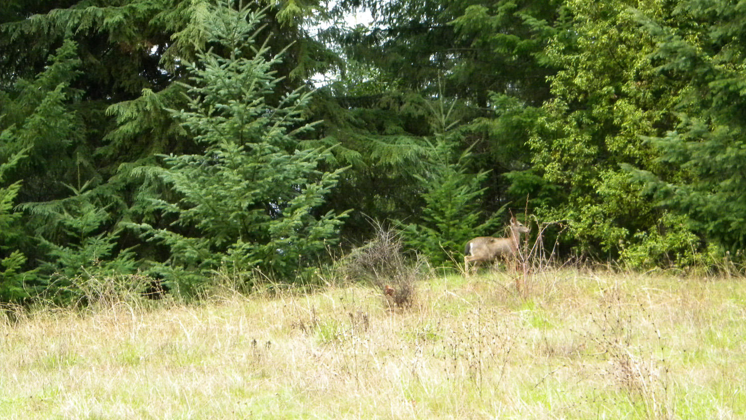
1606_Madrone1607_Strawberries1608_Strawberries1609_Deer1610_Deer
1684_Cliff_Trail1685_Cliff_Trail
![]()