Upper South Umpqua Headwaters Precontact Reference Study
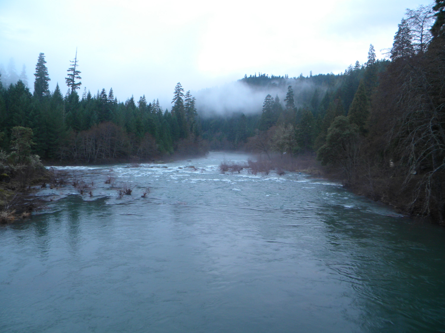
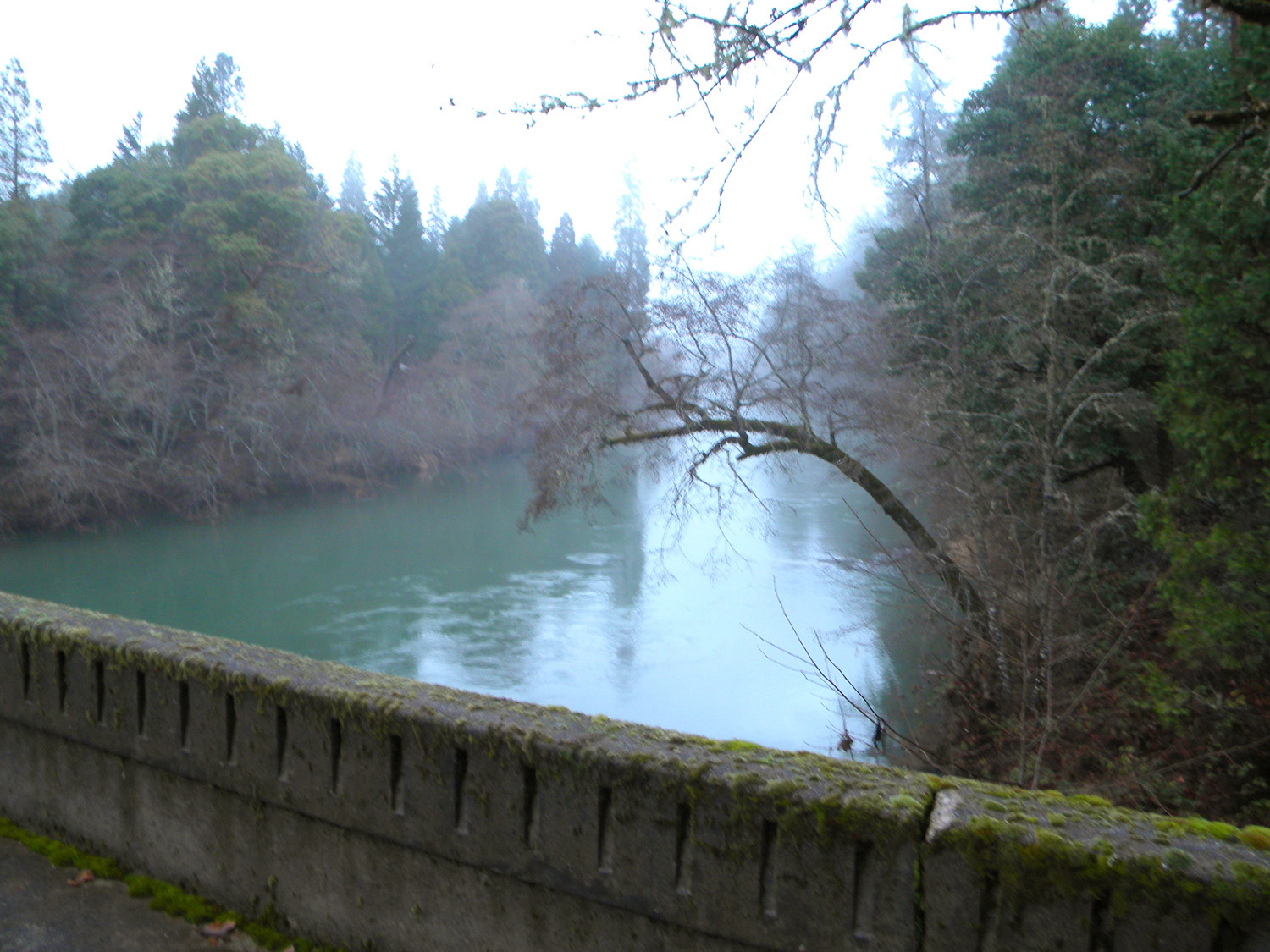
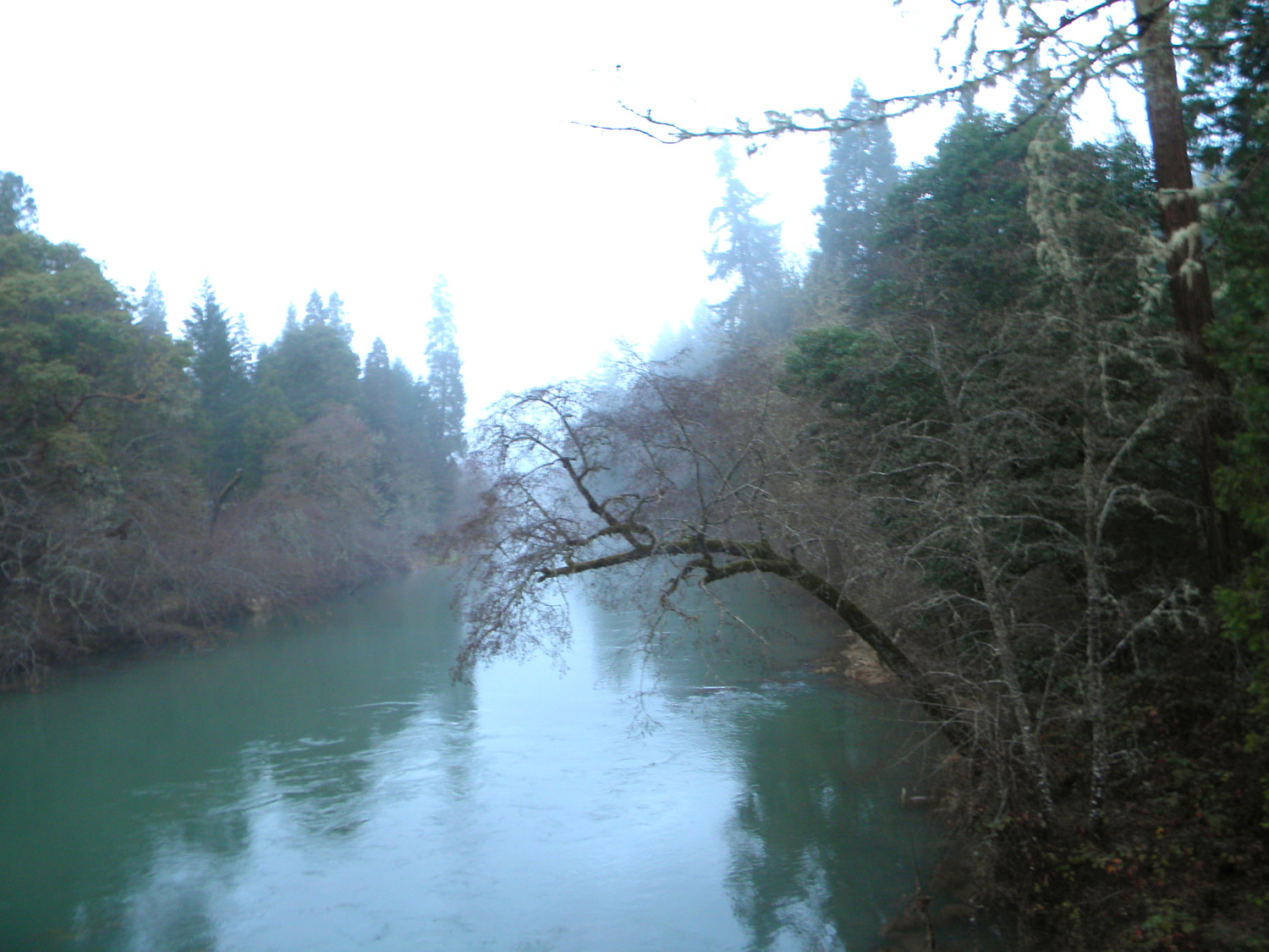
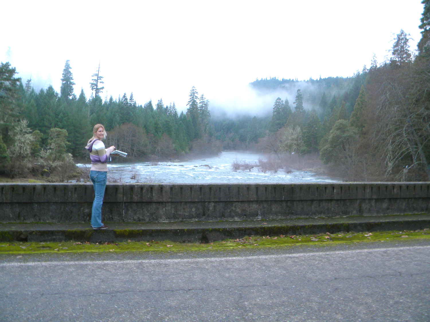
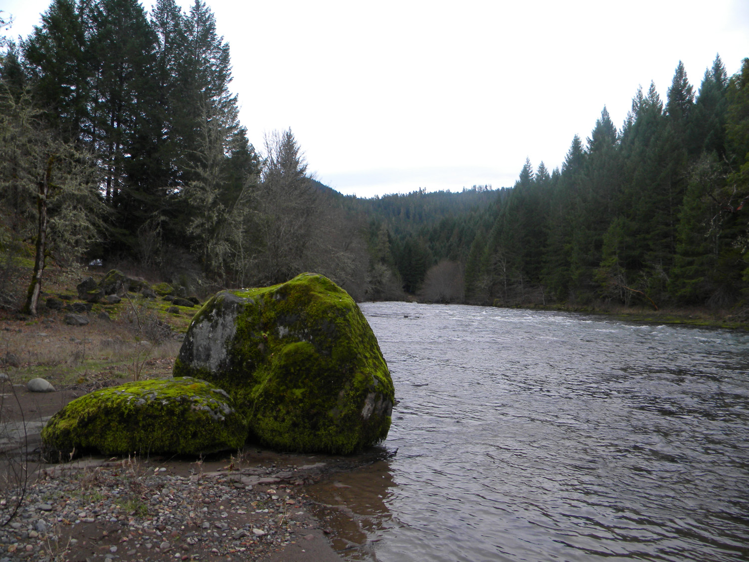
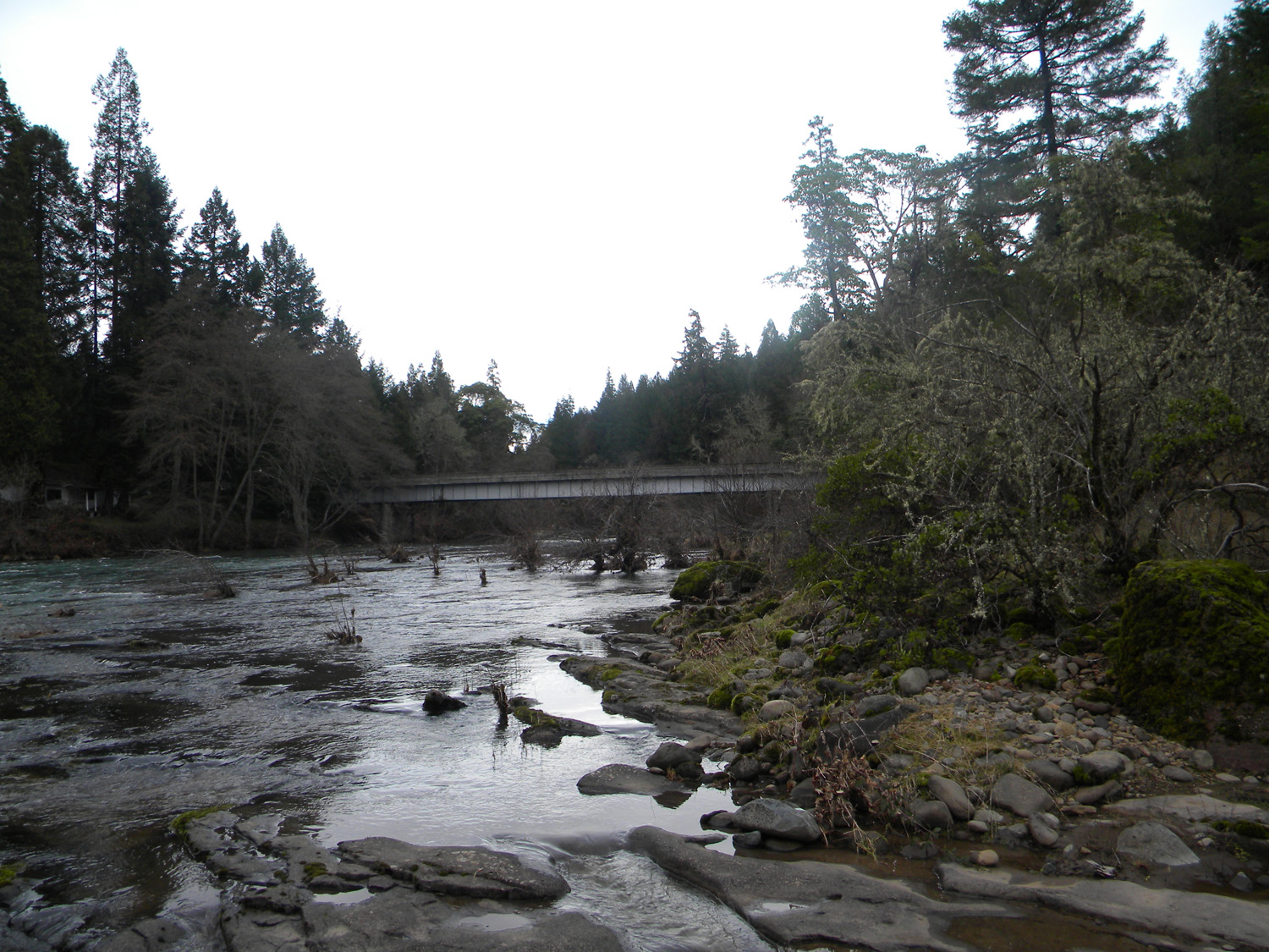
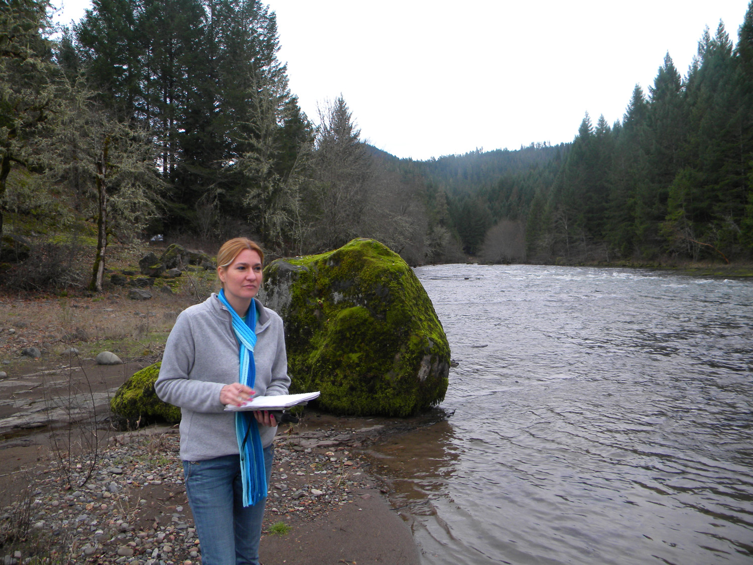
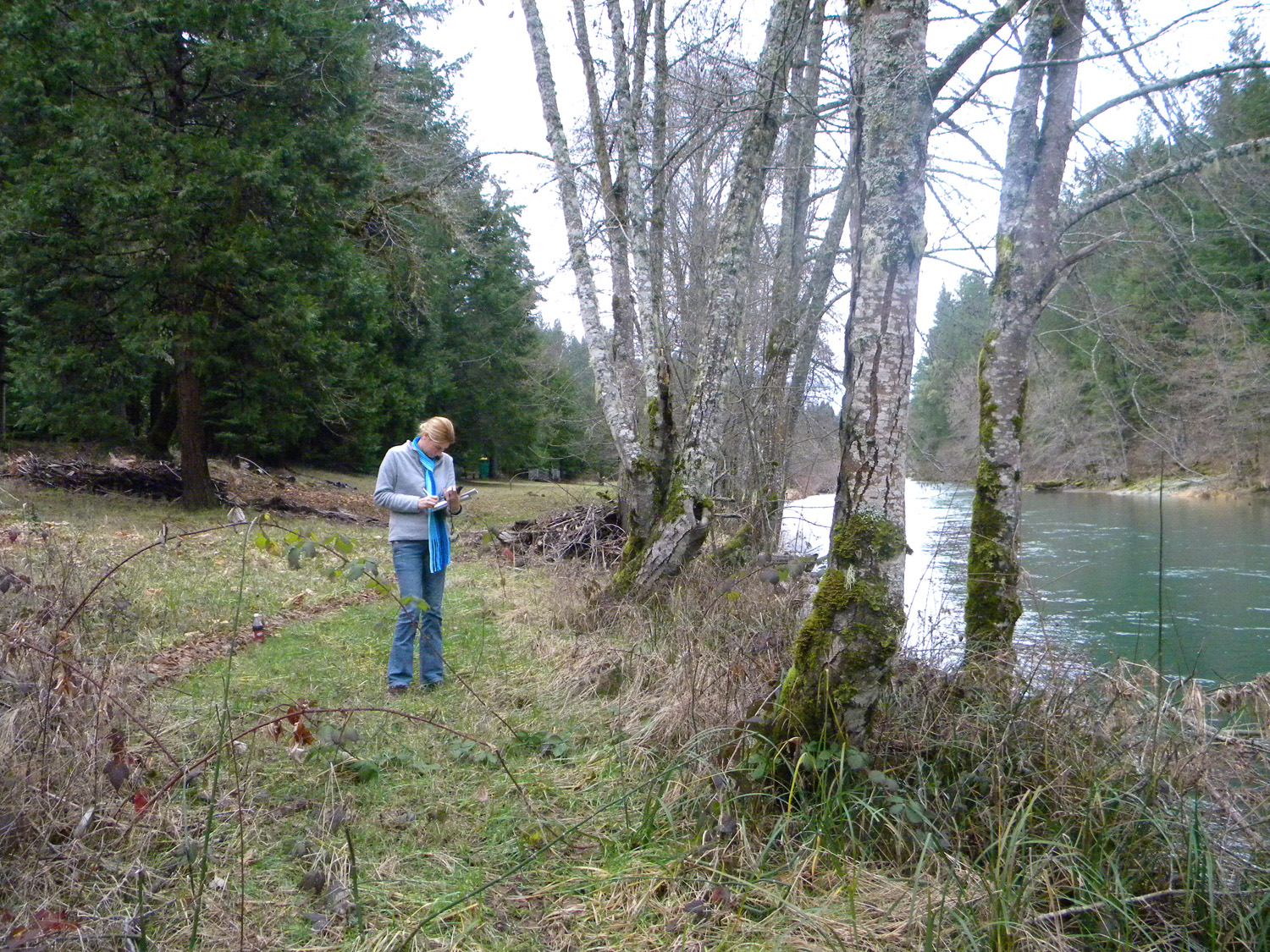
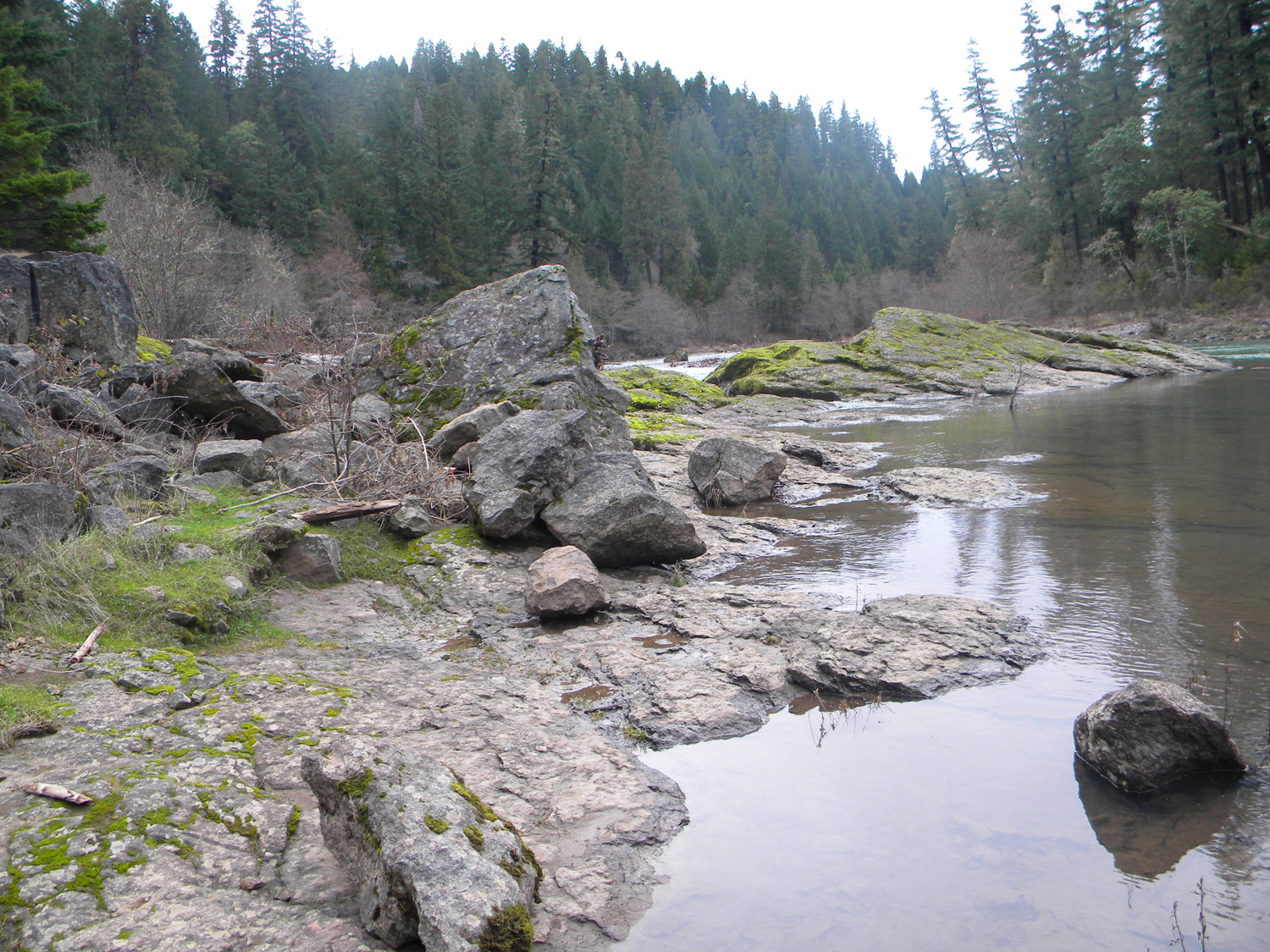
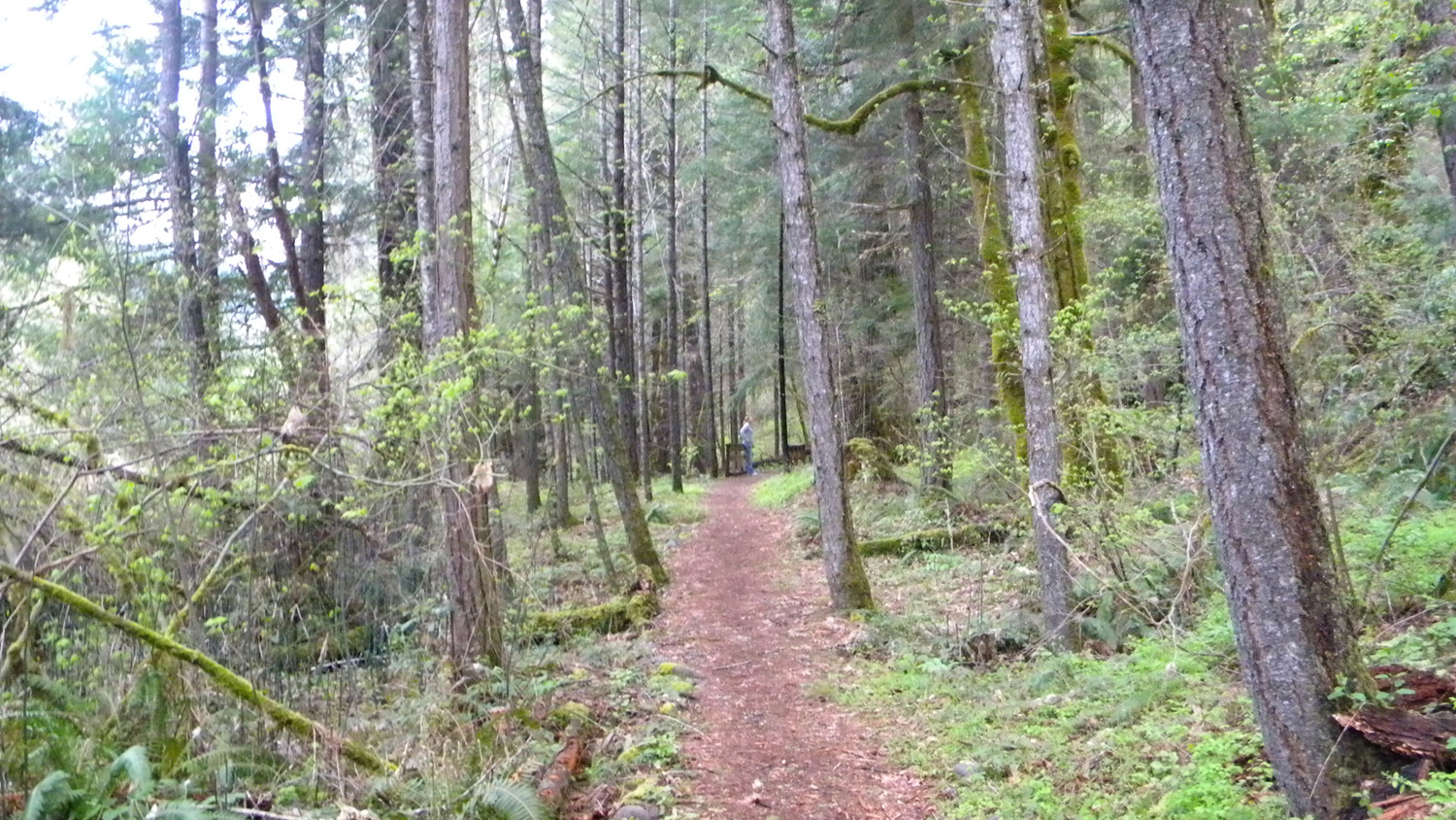
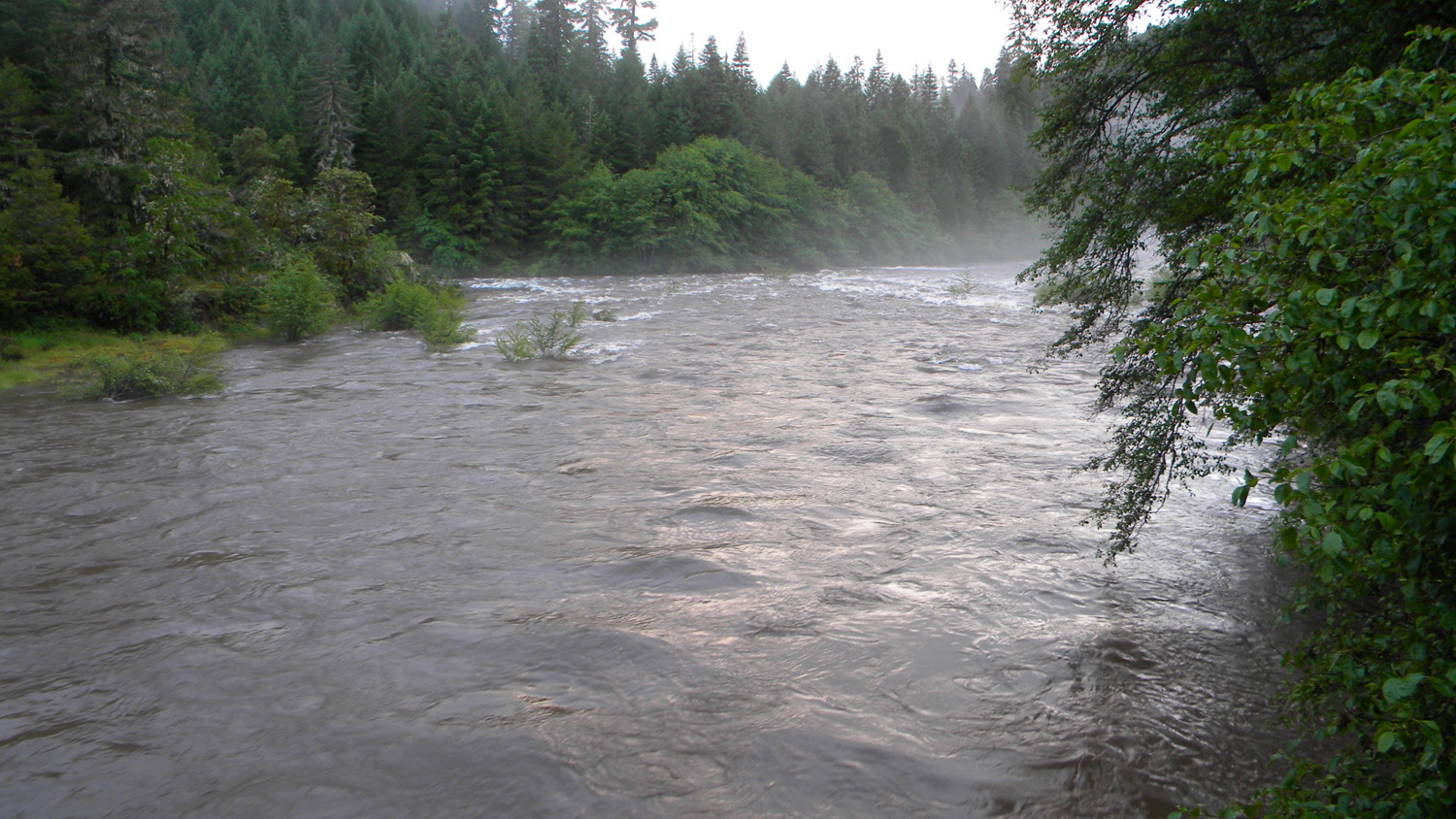
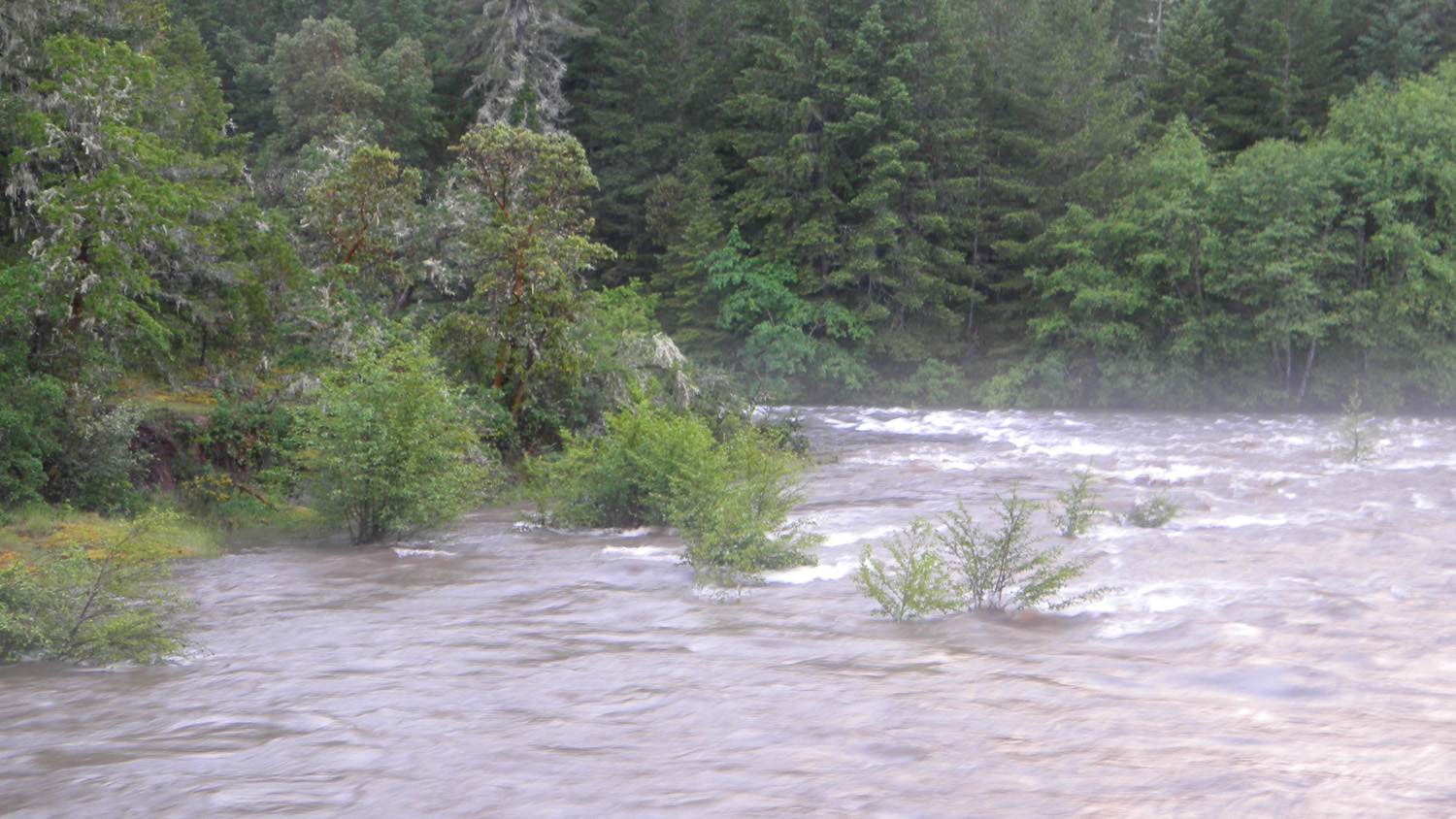
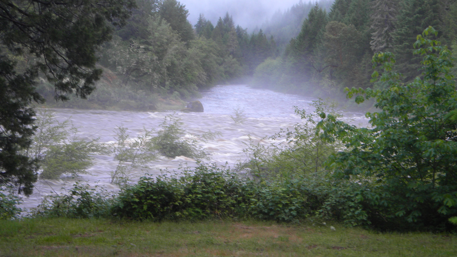
The Forks
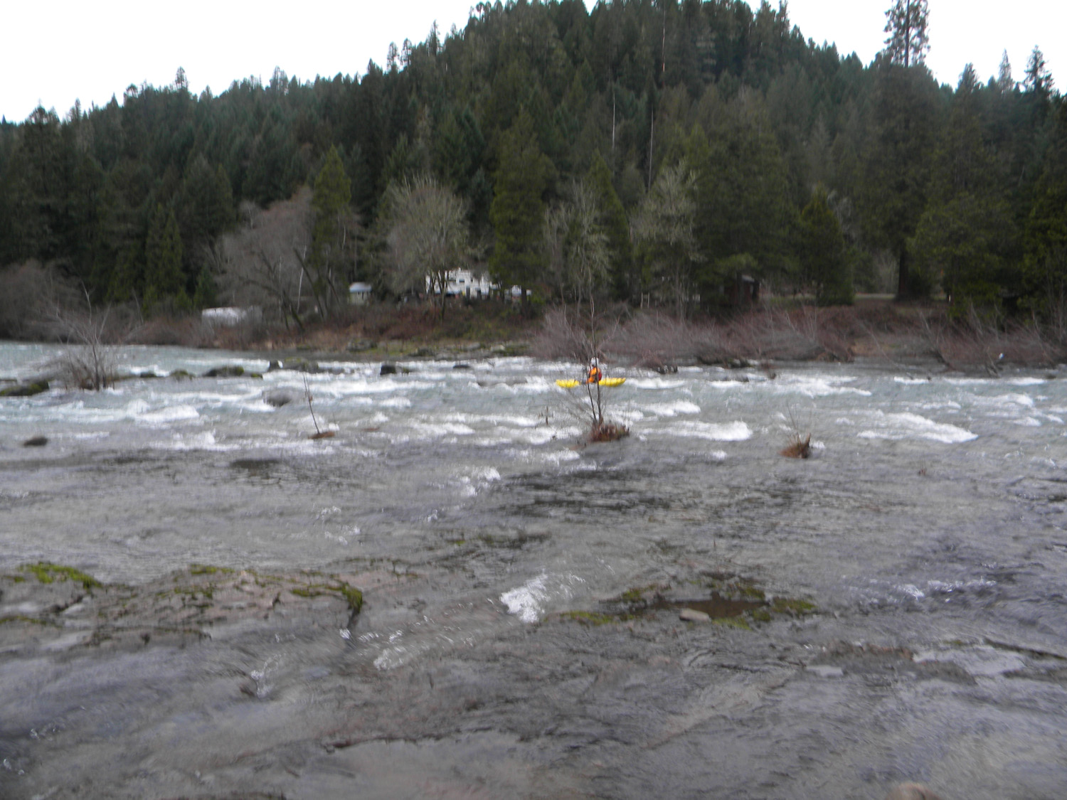
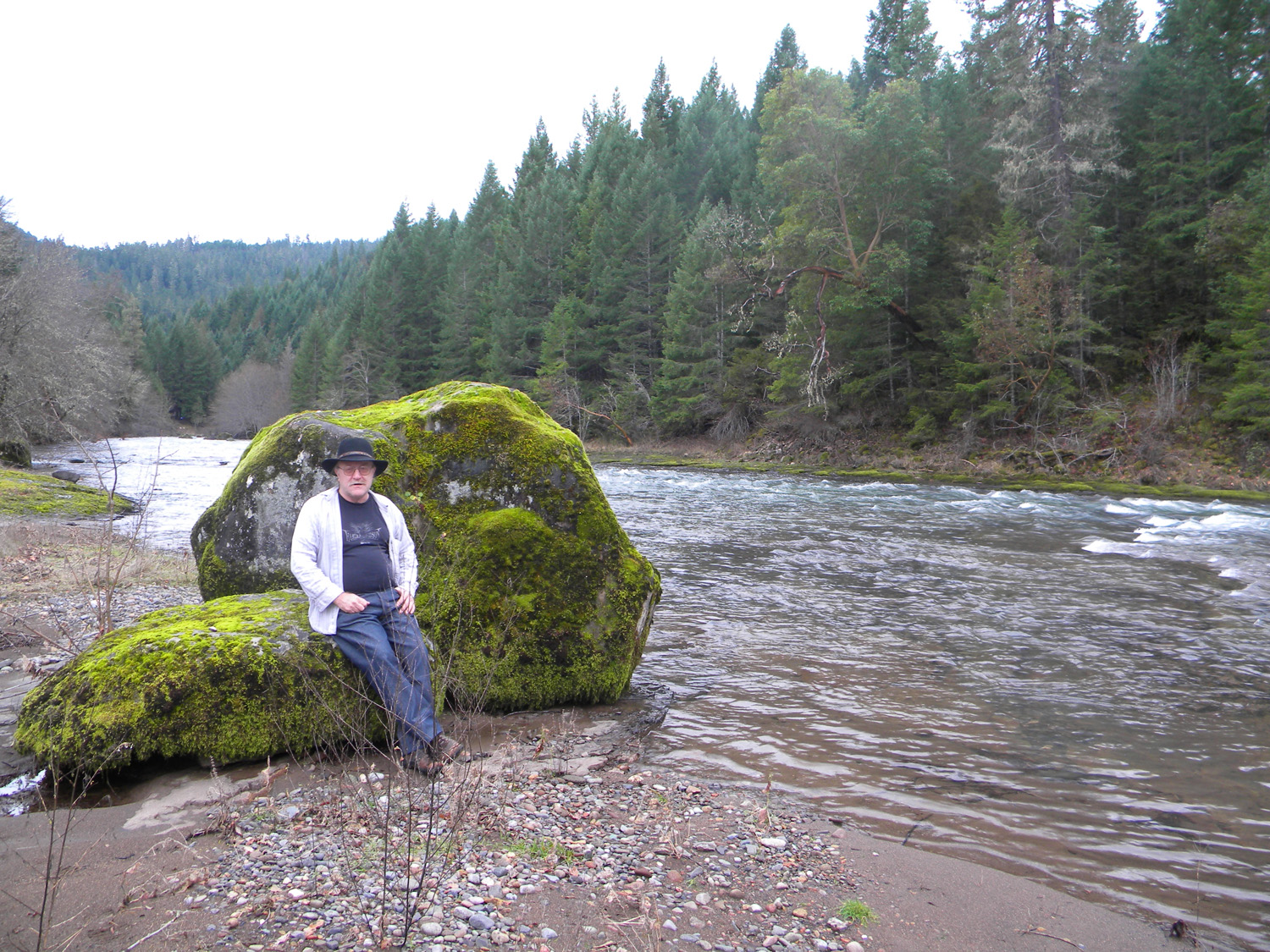
The Forks, South Umpqua River, Douglas County, Oregon, January 9, 2010 (B. Zybach).
The Forks Area of Special Interest is located
within the Jackson Creek subbasin of the South
Umpqua River drainage in Tsp. 30 S., Rng. 1 W.
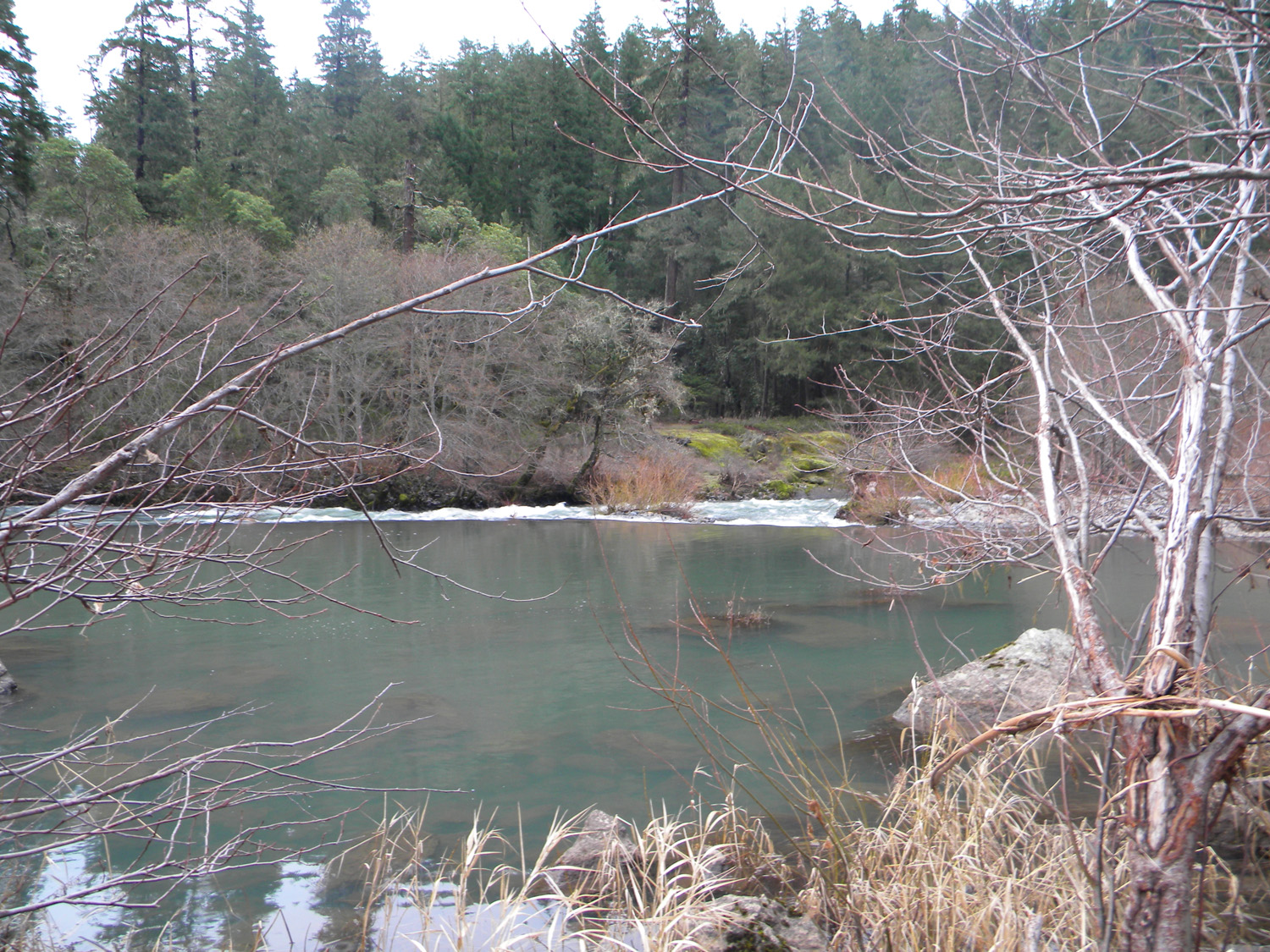
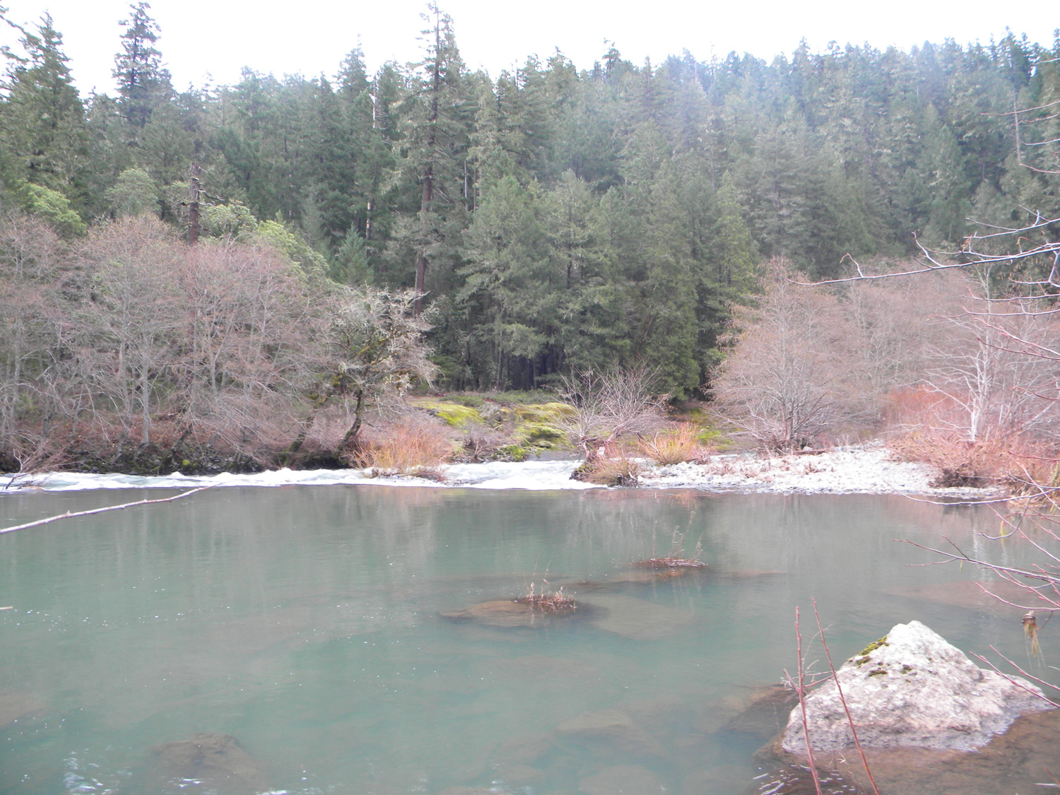
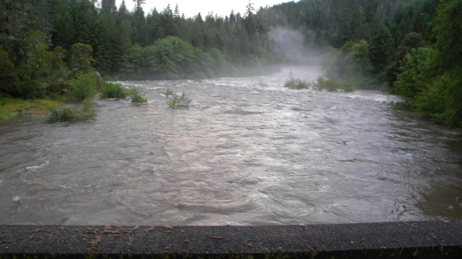
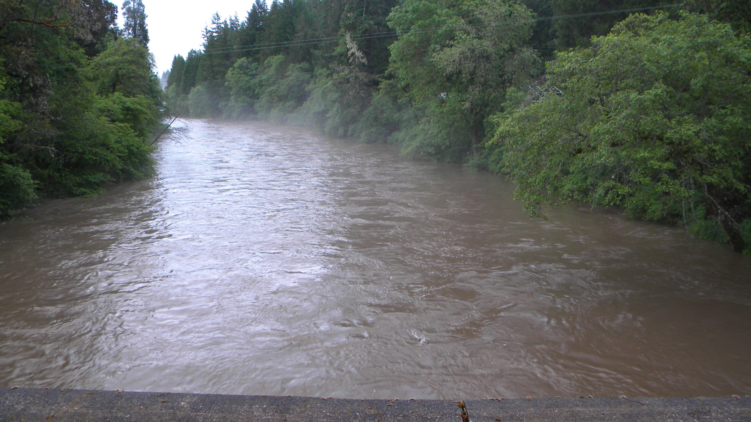
June 2, 2010 rain-on-snow flood event, mouth of Jackson Creek (ORWWmedia 3:35-5:15): https://www.youtube.com/watch?v=VjSKwKWnW-c&t This page includes specific maps
and aerial photographs of The Forks, panoramas
and QTVR video files constructed from the
2010 field research studies, and individual historical
and 2010 documentary photographs showing current
condtions, native plants and animals, and other points of interest related
to this study area. Panoramas and QTVRs
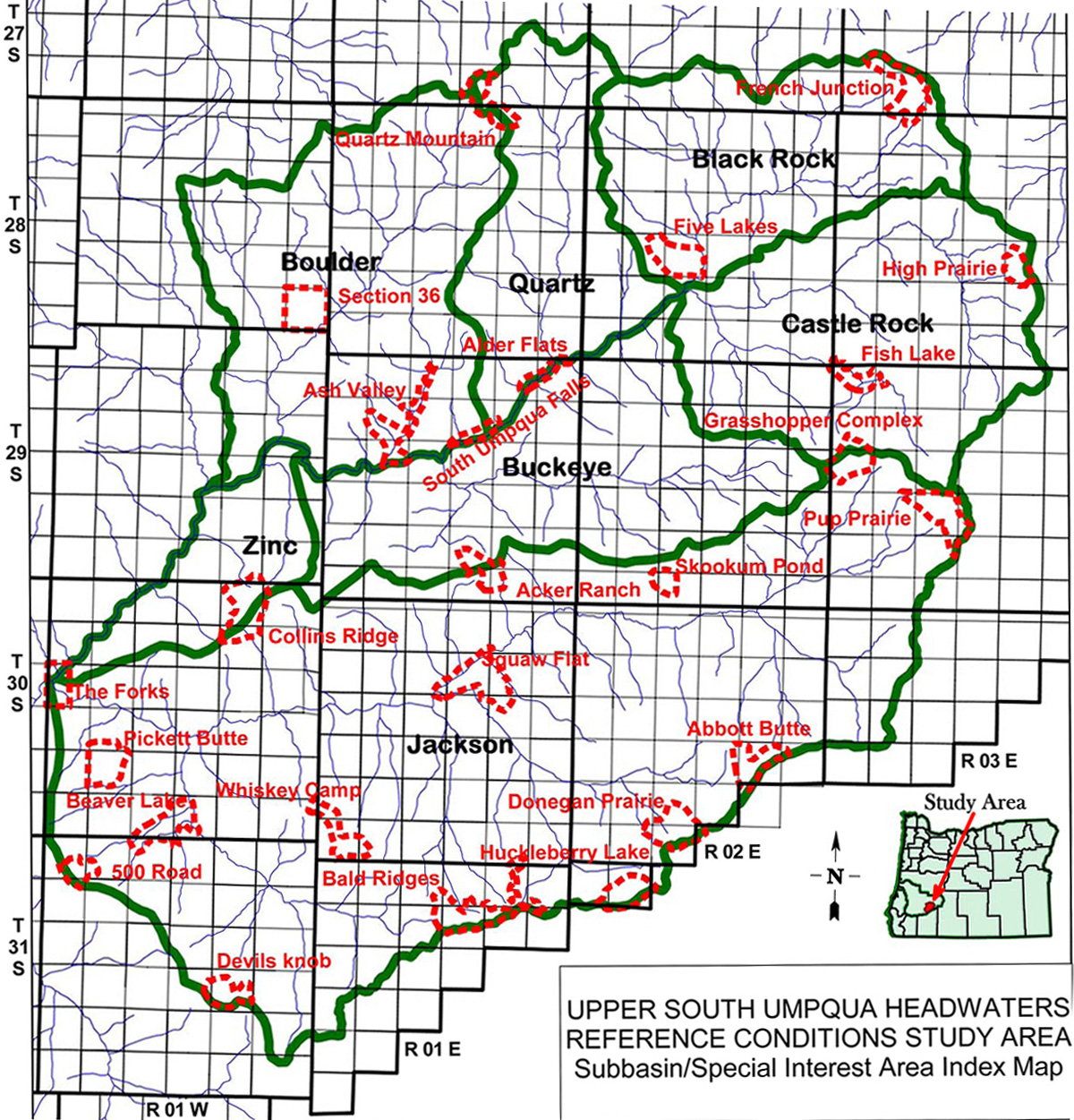
Subbasin Index Map
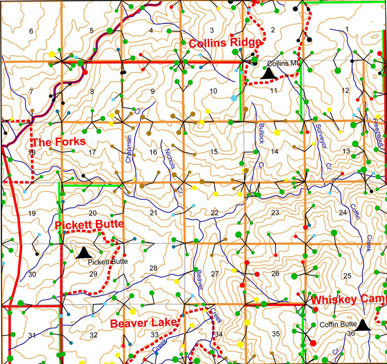
Tsp. 30 S., Rng. 1 W.
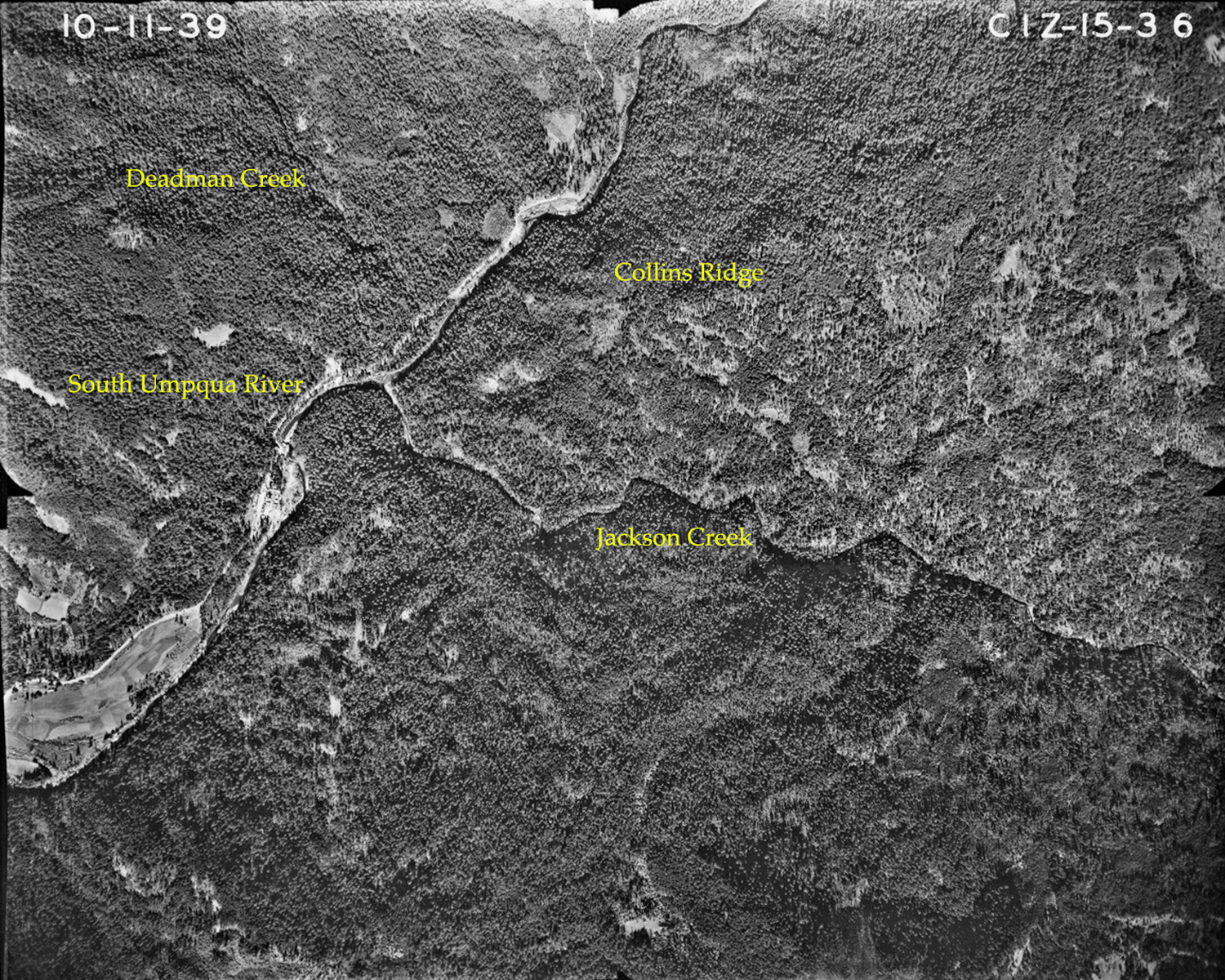
October 11, 1939
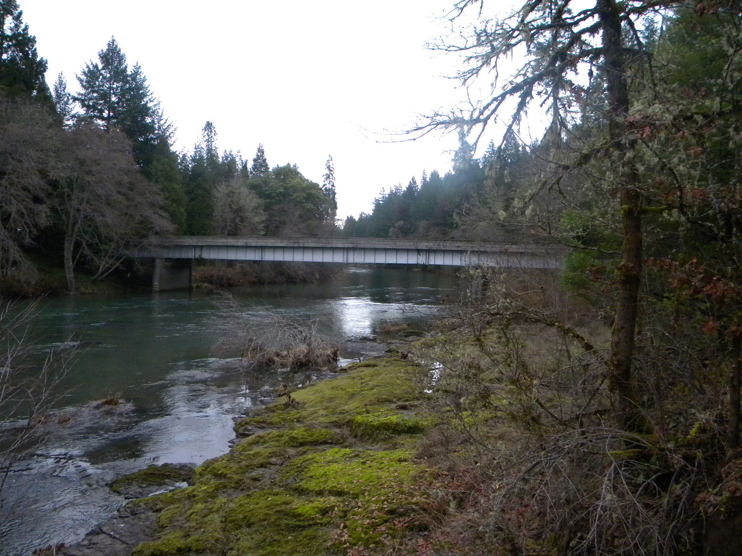
0493_South_Umpqua0494_South_Umpqua0495_South_Umpqua0496_South_Umpqua0497_South_Umpqua_Bridge
0663_Jackson_Creek0669_Jackson_Creek0671_Jackson_Creek0672_Jackson_Creek0673_Jackson_Creek_Bob
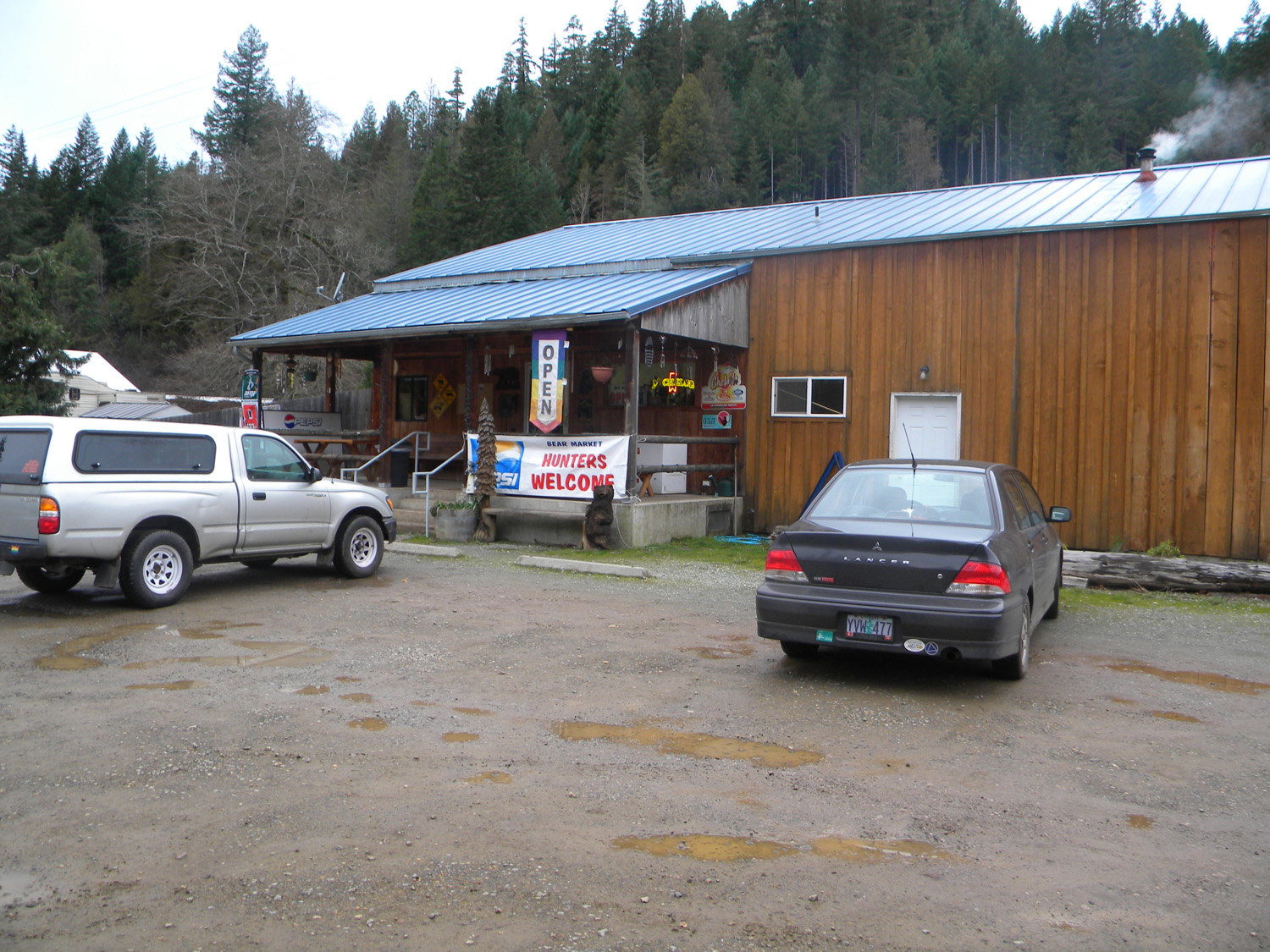
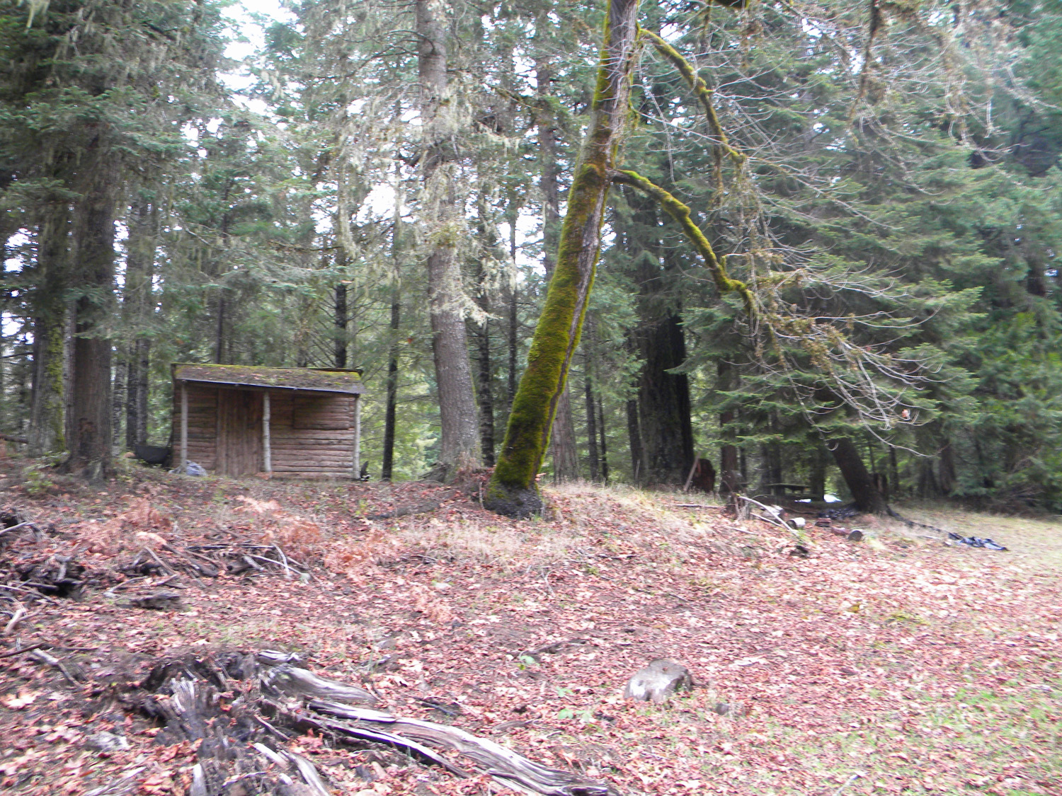
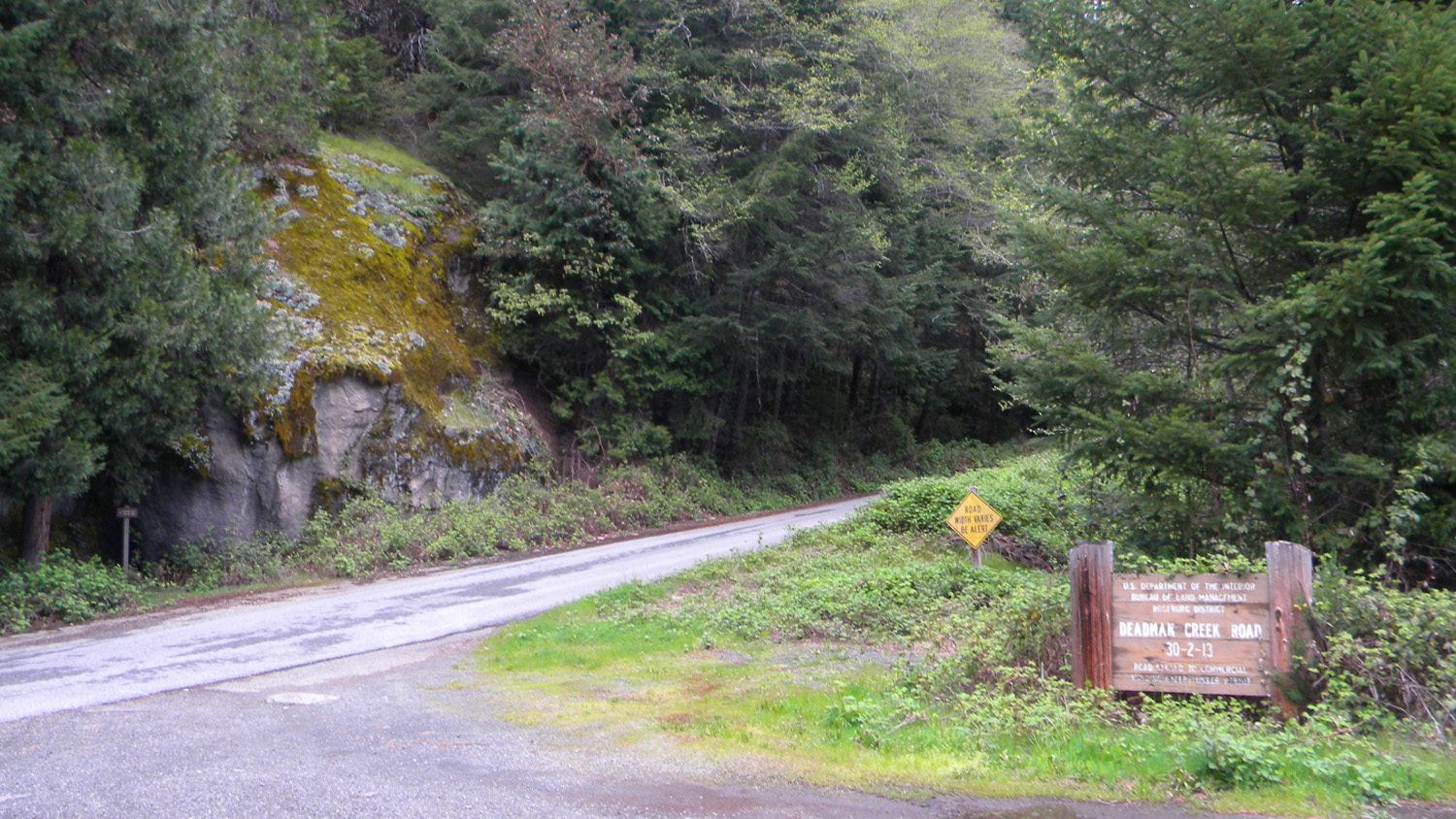
0674_Jackson_Creek_Bridge0675_Bear_Market0677_Deadman_Creek0678_Campground0679_Cabin
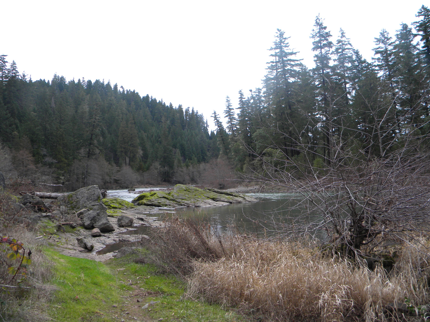
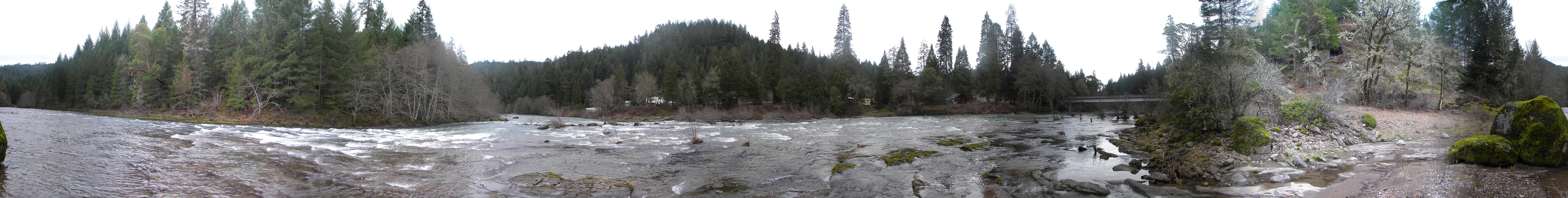
0680_Willow0681_Rocks0682_Rocks0683_Rapids0684_River_Rocks
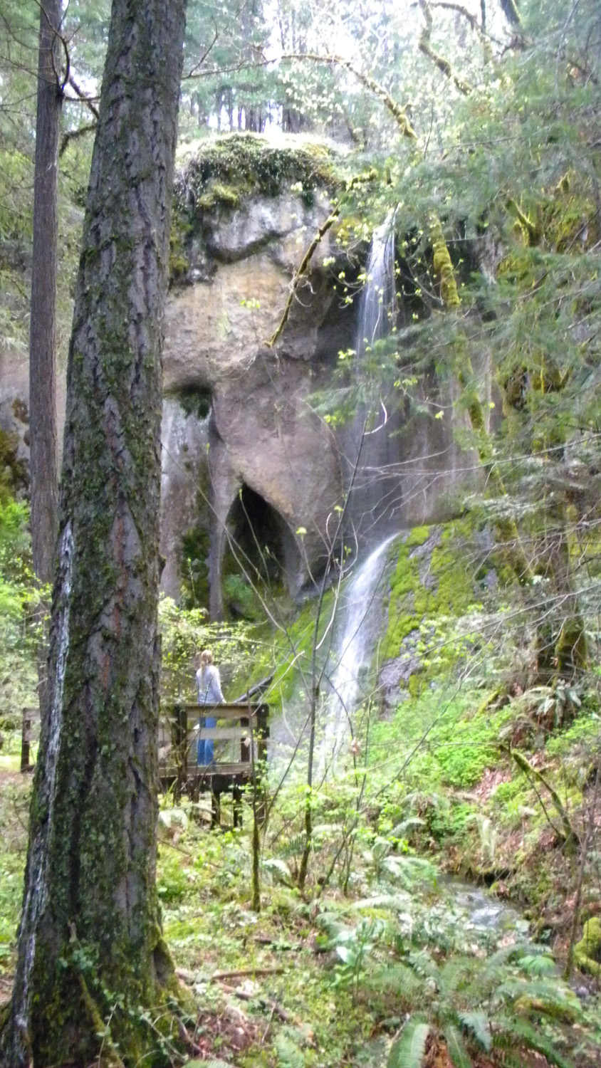
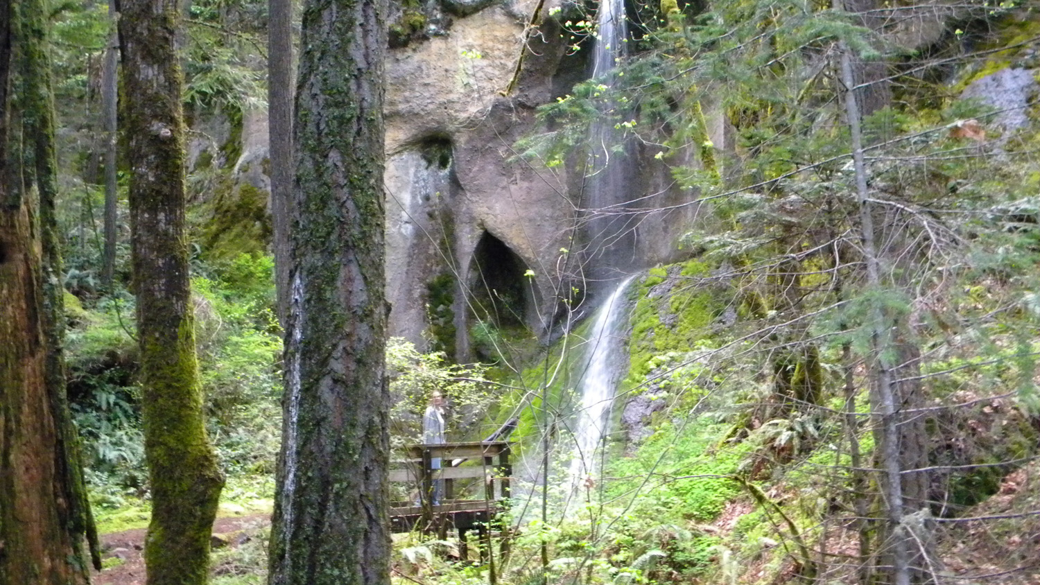
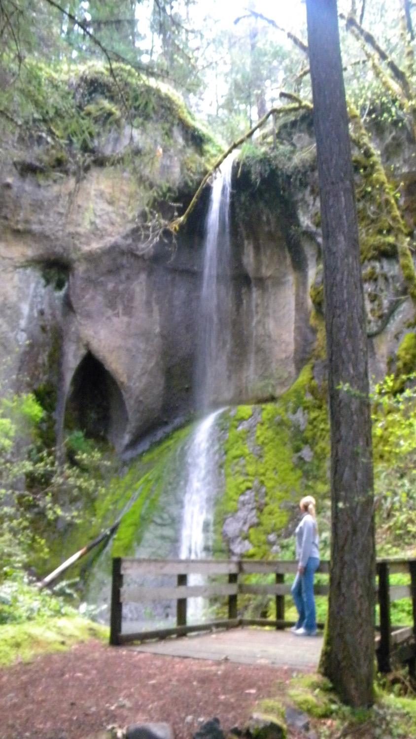
1998_Cathedral_Falls1999_Cathedral_Falls2000_Cathedral_Falls2001_Cathedral_Falls2002_Cathedral_Falls
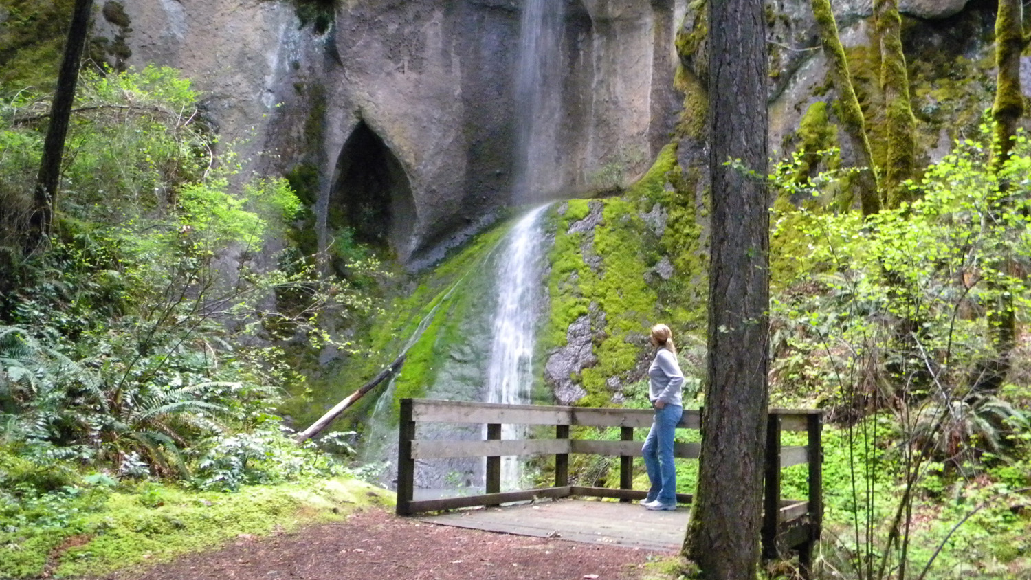
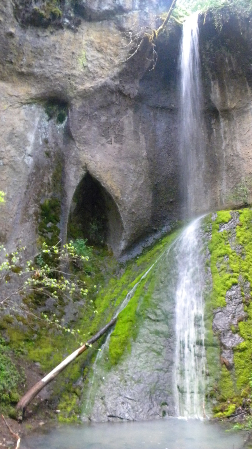
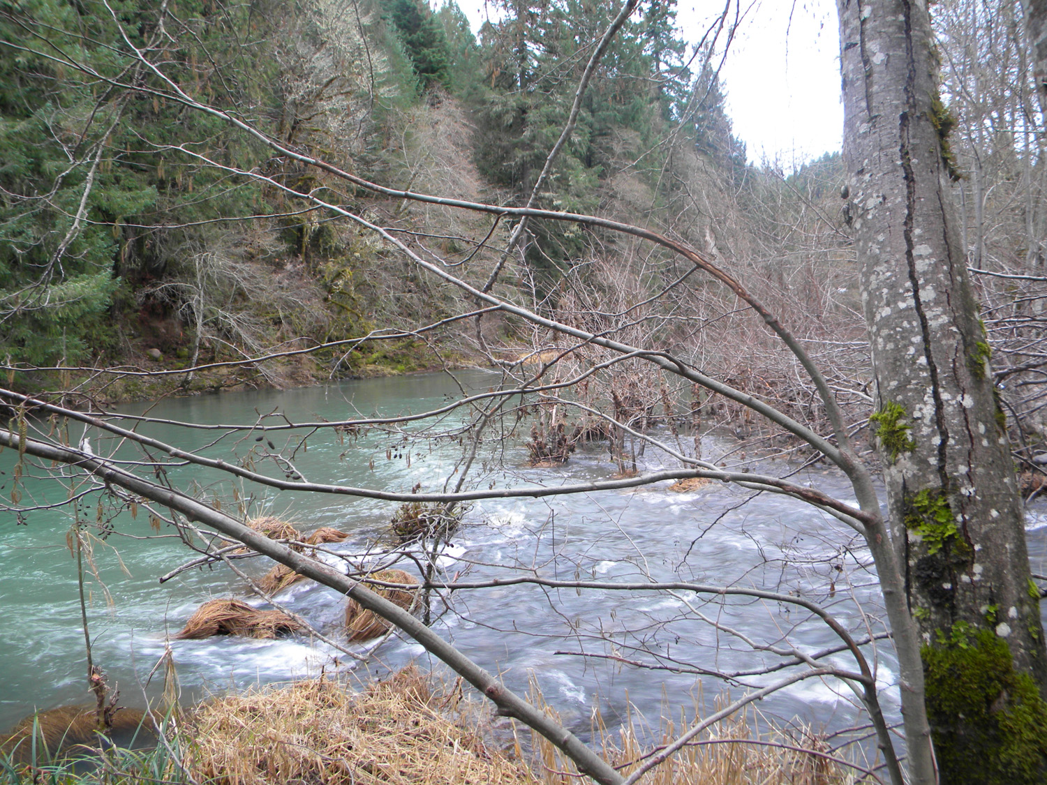
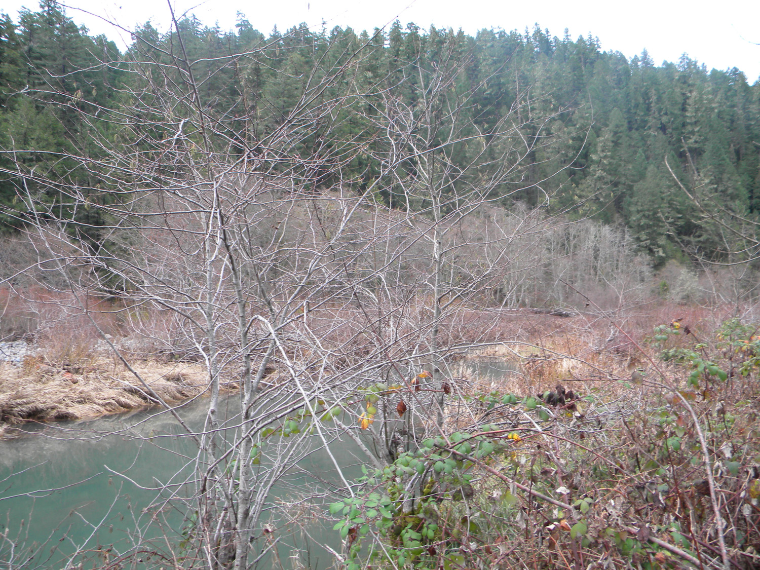
2004_Cathedral_Falls2005_Cathedral_Falls4370_Jackson_Creek4371_Jackson_Creek4372_Jackson_Creek_Mouth
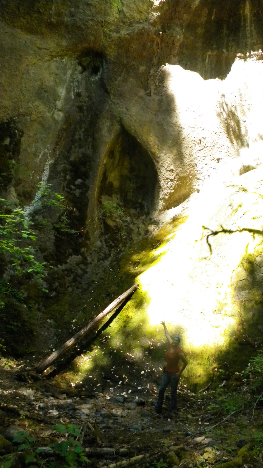
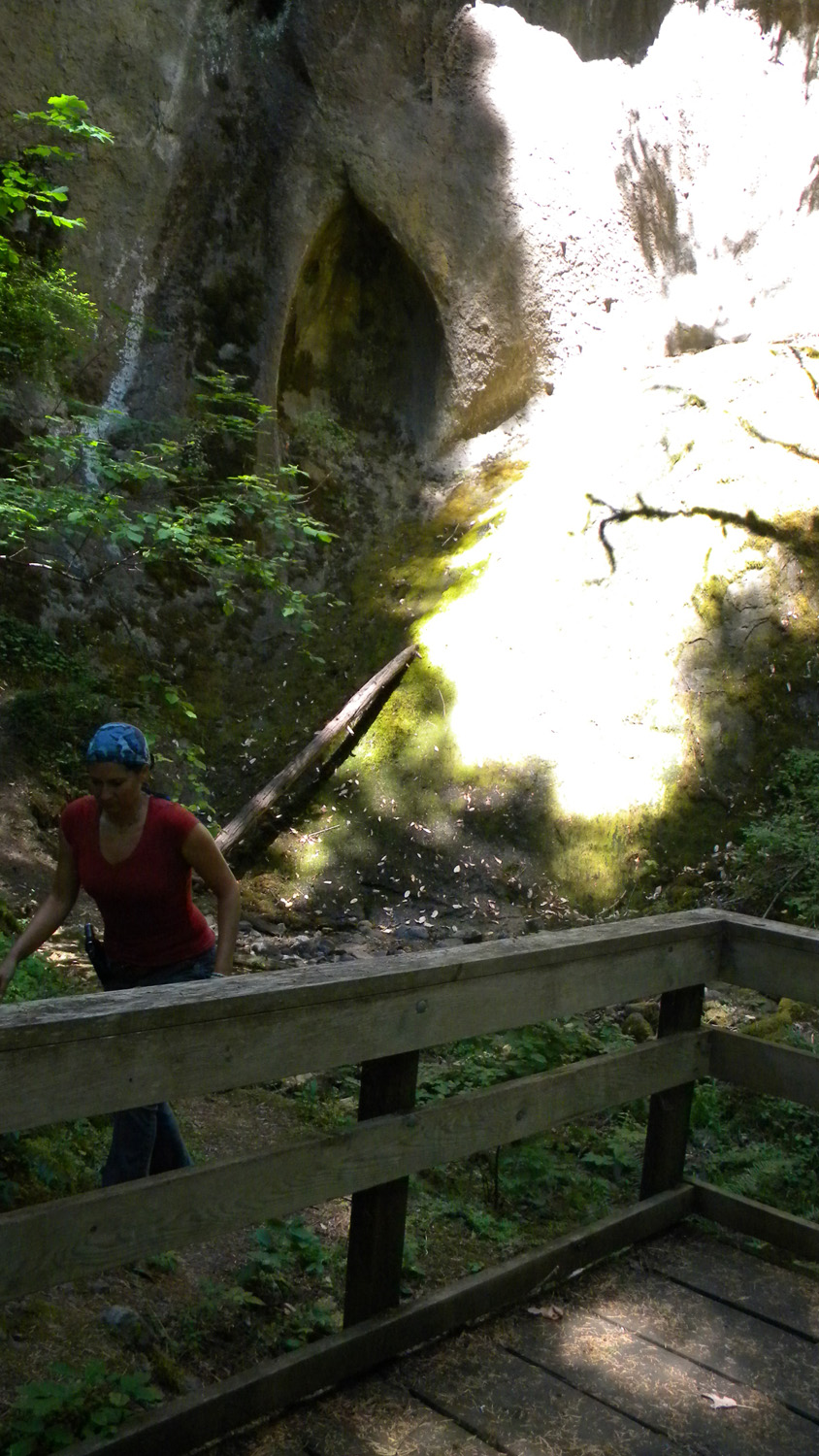
4374_Jackson_Creek_Mouth4375_Jackson_Creek_Mouth6463_Cathedral_Falls_Dry6464_Cathedral_Falls_Dry6466_Cathedral_Falls_Dry