South Umpqua Headwaters Precontact Reference Conditions Study
Subbasins Index
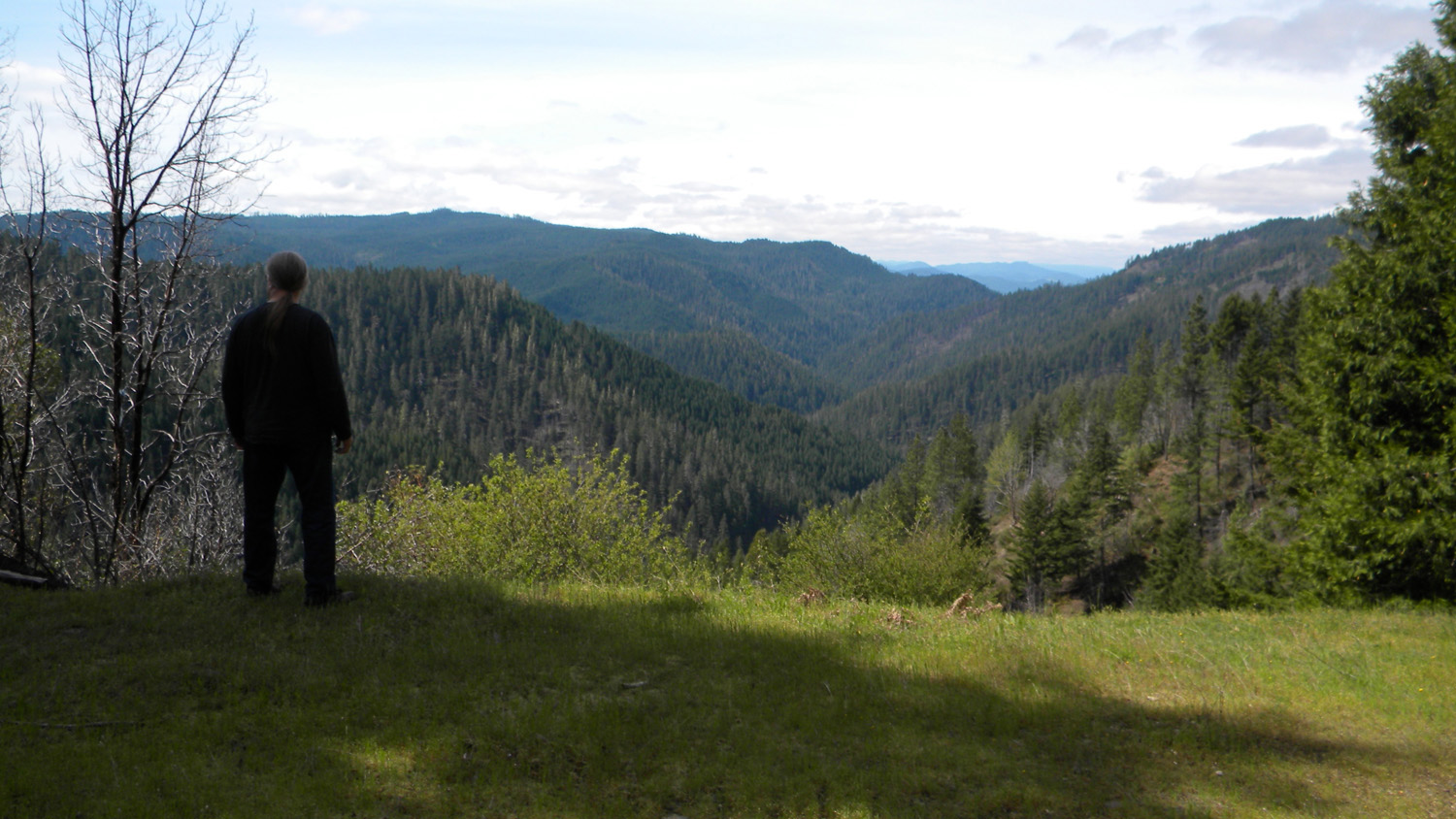
Boulder Creek Viewpoint, May 12, 2010 (N. Lapham).
The purpose of this study is to produce a reliable landscape-scale description of late precontact (pre-1826; ca.1800) reference forest conditions for the eastern portion of present-day Tiller Ranger District of the Umpqua National Forest in Douglas County, Oregon. The primary intended use of this information is to help update Community Wildfire Protection Plans.
Two hundred years ago, transportation routes and vegetation types were in place in accord with subbasin drainage patterns and elevations. Anthropogenic burning patterns often conformed to subbasin boundaries and ridgeline trail networks, as do modern-day wildfires.
There were seven primary subbasins described in this study: Jackson Creek; Boulder Creek; Castle Rock Fork; Buckeye Creek; Black Rock Fork; Quartz Creek; and Zinc Creek. In turn, Jackson Creek, the largest subbasin, could reasonably be subdivided into six or more smaller subbasins: e.g., Beaver Creek; Whisky Creek; Squaw Creek; Upper Jackson Creek; Tallow Creek; and Collins Ridge.
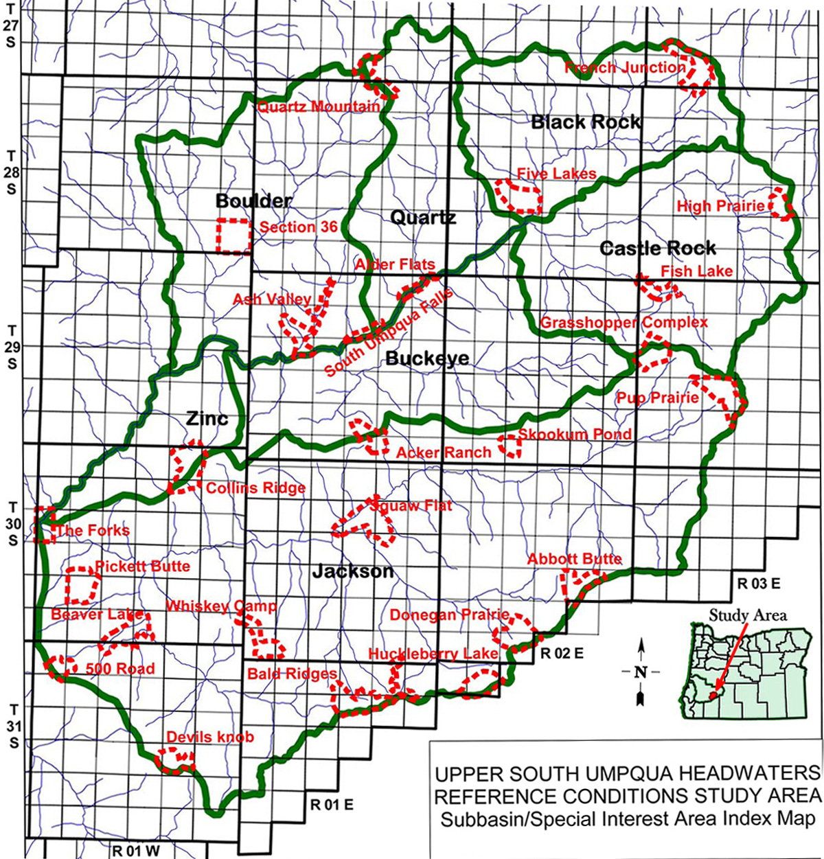 |
232,331 Acres |
|
20,576 Acres |
||
31,522 Acres |
||
25,573 Acres |
||
27,212 Acres |
||
101,995 Acres |
||
16,560 Acres |
||
8,893 Acres |
![]()
© 2010, 2020 Oregon Websites & Watersheds Project, Inc. & NW Maps Co.