South Fork Santiam River
Canyon Creek Subbasin
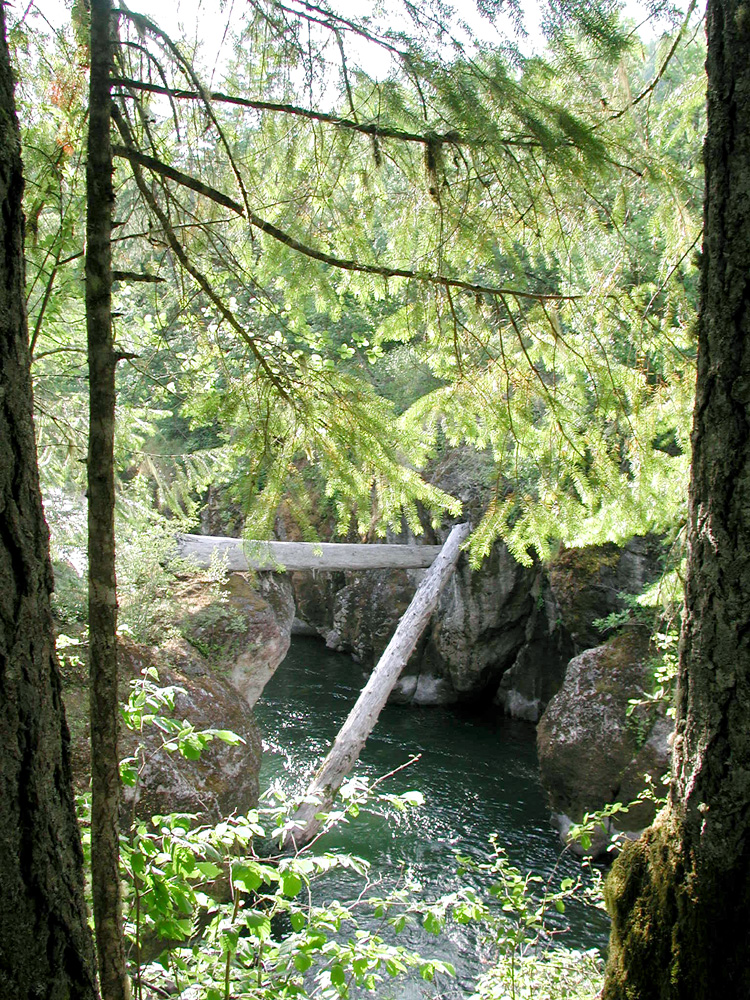
South Fork Santiam River, at mouth of Canyon Creek, June 1, 2007 (B. Zybach photo)
Spring, 2007 Field Trips to Gordon Meadows
June 1, 2007 Photographs
(taken by Bob Zybach, with Eric Esselstyn of Phoenix Reforestation, Inc.)
Black Creek, Gordon Meadows, and Mouth of Canyon Creek Photos (30 photos)
Beargrass Meadow 360-degree Panoramic Photo Sequence (11 photos)
June 18, 2007 Photographs
(taken by Bob Zybach, with Don Day, Wayne Giesy, and Bob Tom)
Beargrass Meadow and Gordon Meadows Photos (29 photos)
Gordon Meadows 180-degree Panoramic Photo Sequence (6 photos)
*For QTVR help, see: http://www.ORWW.org/Protocol/index.html#QTVR
![]()
© 2007 - Oregon Websites and Watersheds Project, Inc. & NW Maps Co.