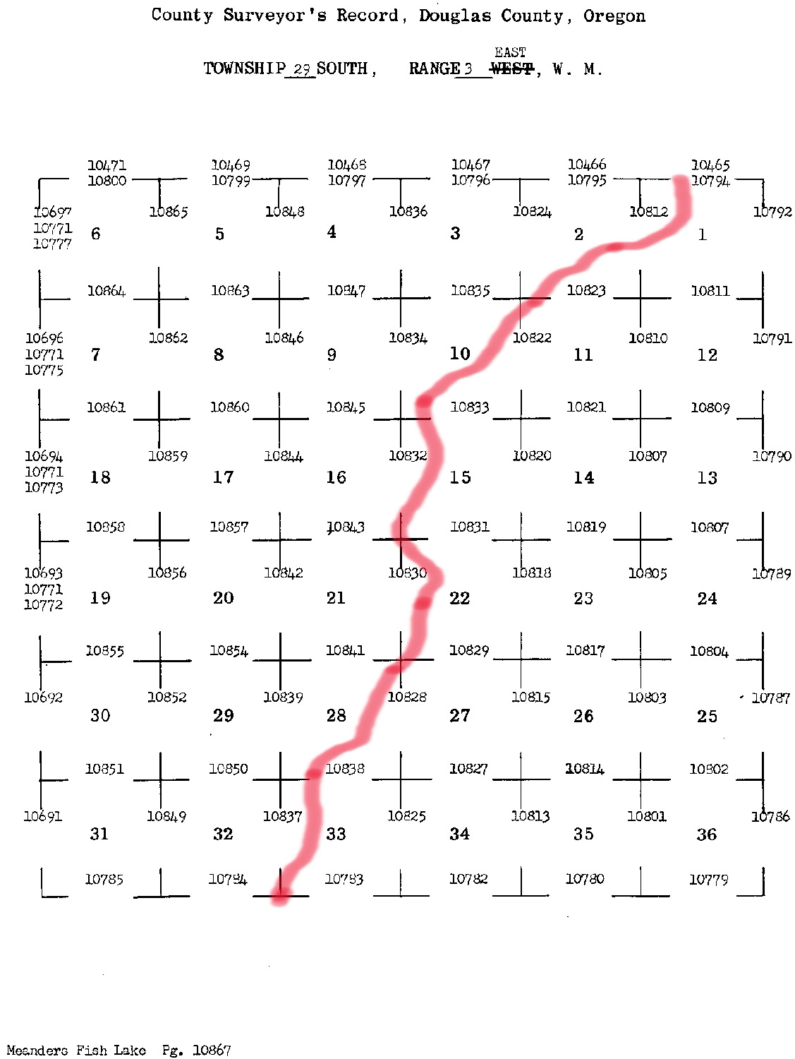
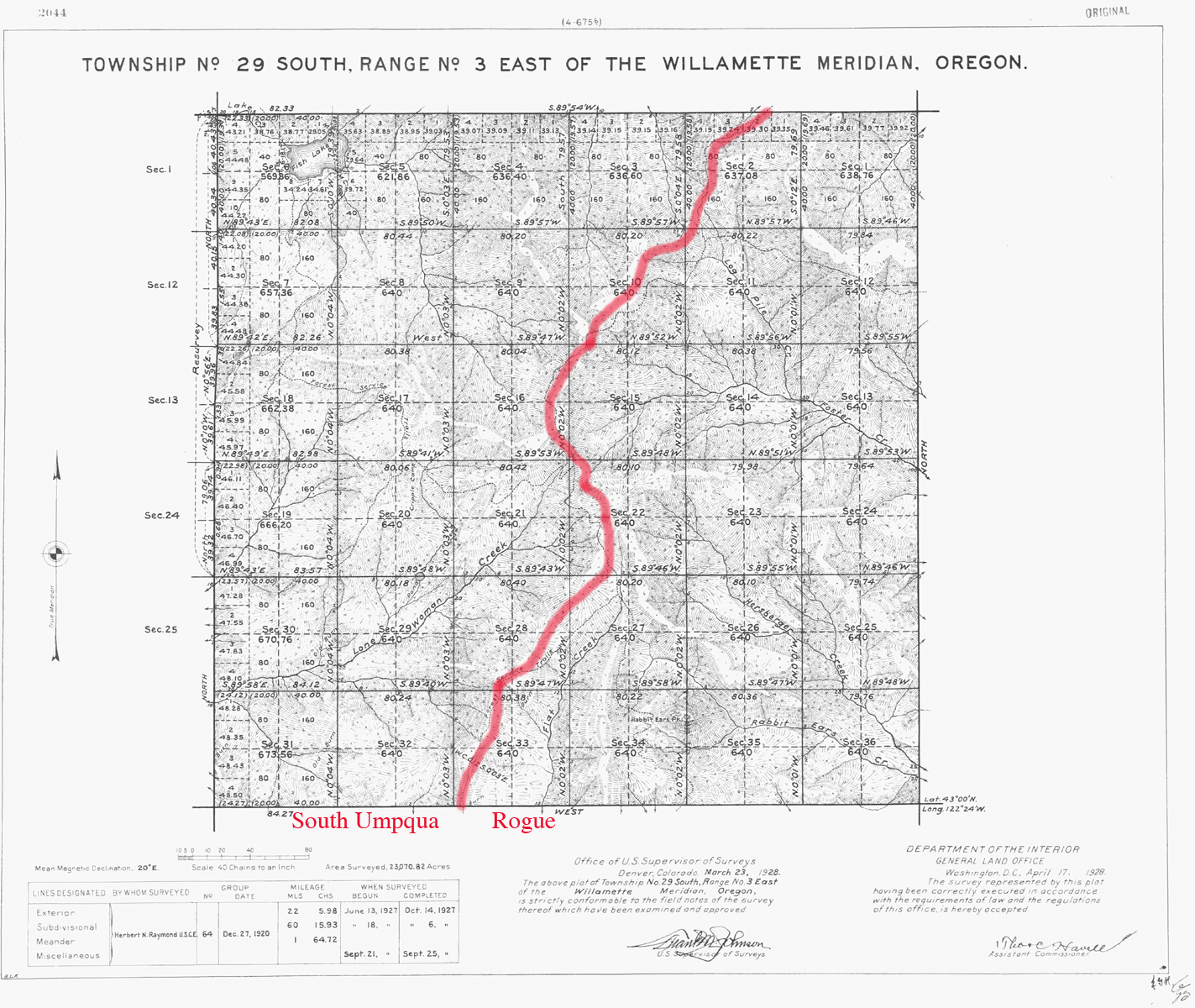
South Umpqua River
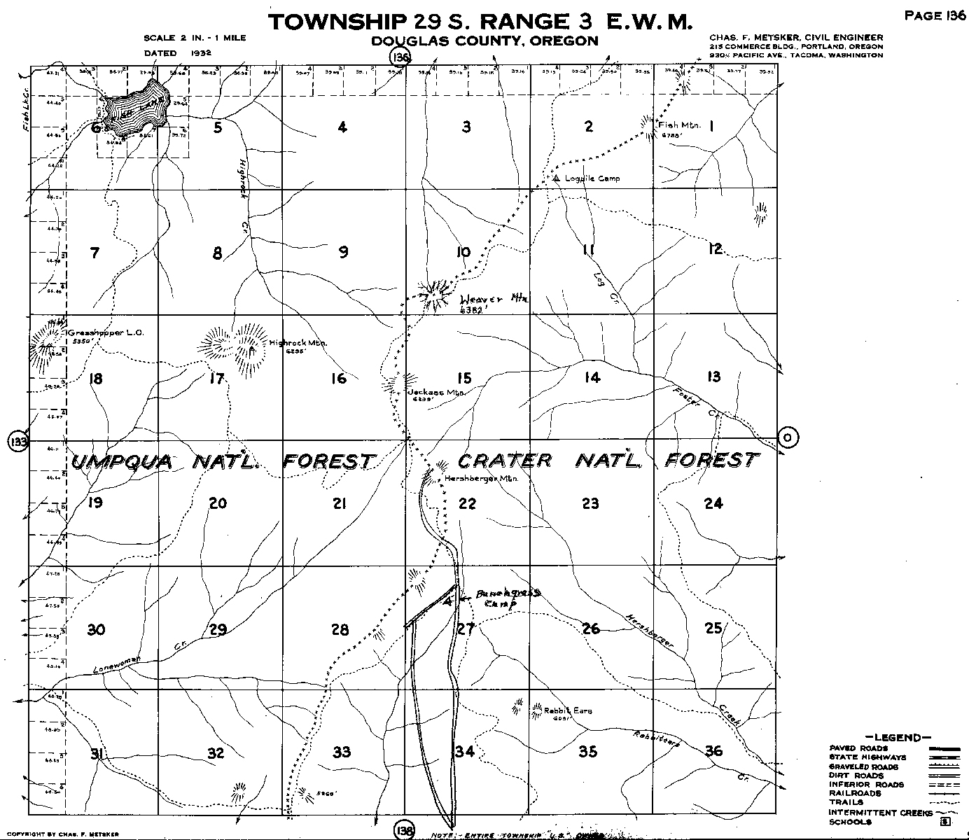
Tsp. 29 S., Rng. 3 E.
1928 General Land Office Survey Index
 |
 |
1928 GLO |
1932 Metsker |
The red line of this index follows the Cascade Crest and indicates the eastern boundary of the 2010 South Umpqua Headwaters Precontact Reference Conditions Study. This township includes the Grasshopper Mountain and Hershberger Mountain Fire Lookouts, and the Fish Lake, Grasshopper Complex, and Pup Prairie Areas of Special Interest. This survey was completed in 1927 and mapped in 1928 (Herbert 1927).
![]()