South Umpqua River
Douglas County, Oregon General Land Office Survey Notes
REFERENCES
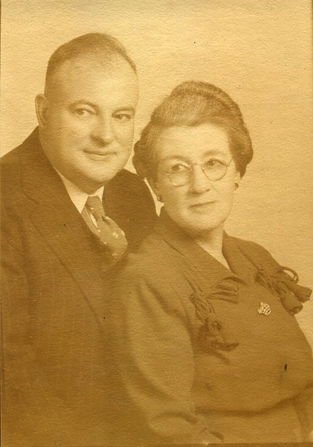
General Land Office Surveyor, Norman Price, and his wife _______, ca. 1940. Mrs. Price often accompanied her husband during his surveying career and camped with him in the field while he was working (photo provided courtesy of their granddaughter, _______, and used with her permission).
Original Public Land Survey ("P.L.S.") field notes are being compiled for the South Umpqua River basin and made available for research and education purposes in conjunction with the 2010 Upper South Umpqua Headwaters Precontact Reference Conditions Study. These notes were made available, and this project made possible, with the cooperation and great assistance provided by the Douglas County Surveyors Office.
The P.L.S. field notes were compiled by US General Land Office ("GLO") surveyors from 1857 until 1938 and are confined at this time to the 18 partial and complete legal townships that comprise the 2010 study area. The following table of references lists the surveyors who compiled the field notes, the year the survey was completed, a general title or description of the survey area, and the contract number and date that the survey was performed under.
Angell, Homer D. 1902. Willamette Meridian through Township No. 28 South, Under Contract No. 746, Dated May 5, 1902. Department of the Interior, General Land Office, Washington, DC.
Applegate, Peter 1891. Subdivision of Township No. 31 South, Range No. 2 East, Contract No. 571, Dated April 10, 1891. Department of the Interior, General Land Office, Washington, DC.
Carter, Leonard 1936. Subdivision of Township No. 31 South, Range No. 1 East, Under Group No. 175, Dated November 21, 1935. Department of the Interior, General Land Office, Washington, DC.
Carter, Leonard and George F. Dawson, Jr. 1937. Subdivision of Township No. 30 South, Range No. 2 East, Under Group No. 175, Dated November 21, 1935. Department of the Interior, General Land Office, Washington, DC.
Draper, Otto L. 1928. Subdivision of Township No. 27 South, Range No. 1 East, Under Contract No. 63, Dated December 24, 1920. Department of the Interior, General Land Office, Washington, DC.
Flint, Samuel C. 1883. 6th Standard Parallel South, through Range No. 1 East, Under Contract No. 473, Dated June 5, 1883. Department of the Interior, General Land Office, Washington, DC.
Hathorn, Dennis 1857. Willamette Meridian through Township No. 28 South, Under Contract No. 73, Dated June 8, 1857. Department of the Interior, General Land Office, Washington, DC.
Hathorn, Dennis 1858a. Part of Township Lines and Subdivision of Township No. 30 South, Range No. 1 West, Under Contract No. 73, Dated June 8, 1857. Department of the Interior, General Land Office, Washington, DC.
Hathorn, Dennis 1858b. Part of Township Lines and Subdivision of Township No. 31 South, Range No. 1 West, Under Contract No. 73, Dated June 8, 1857. Department of the Interior, General Land Office, Washington, DC.
Maxwell, Frank D. 1914a. Homestead Entry Survey No. 143 in the Umpqua National Forest, Tsp. 21 S., Rng. 1 E. Office of U.S. Surveyor General, Portland, Oregon.
Maxwell, Frank D. 1914b. Homestead Entry Survey No. 144 in the Umpqua National Forest, Tsp. 21 S., Rng. 1 E. Office of U.S. Surveyor General, Portland, Oregon.
Mensch, Fred 1906. Subdivision of Township No. 29 South, Range No. 1 West, Under Contract No. 757, Dated September 14, 1904. Department of the Interior, General Land Office, Washington, DC.
Mensch, Fred 1907. Subdivision of Township No. 30 South, Range No. 1 West, Under Contract No. 757, Dated September 14, 1904. Department of the Interior, General Land Office, Washington, DC.
Mensch, Fred 1910. Subdivision of Township No. 29 South, Range No. 1 East, Under Contract No. 797, Dated April 19, 1910. Department of the Interior, General Land Office, Washington, DC.
Mensch, Fred 1921a. Subdivision of Township No. 29 South, Range No. 1 West, Under Group No. 62, Dated December 21, 1920. Department of the Interior, General Land Office, Washington, DC.
Mensch, Fred 1921b. Subdivision of Township No. 29 South, Range No. 1 East, Under Group No. 62, Dated December 21, 1920. Department of the Interior, General Land Office, Washington, DC.
Mensch, Fred 1922. Subdivision of Township No. 29 South, Range No. 1 West, Under Group No. 90, Dated June 7, 1922. Department of the Interior, General Land Office, Washington, DC.
Mensch, Fred 1923a. Subdivision of Township No. 30 South, Range No. 1 West, Under Group No. 90, Dated June 7, 1922. Department of the Interior, General Land Office, Washington, DC.
Mensch, Fred 1923b. Subdivision of Township No. 30 South, Range No. 1 East, Under Group No. 90, Dated June 7, 1922. Department of the Interior, General Land Office, Washington, DC.
Mensch, Fred 1923c. Subdivision of Township No. 31 South, Range No. 1 West, Under Group No. 90, Dated June 7, 1922. Department of the Interior, General Land Office, Washington, DC.
Mensch, Fred 1923d. Subdivision of Township No. 31 South, Range No. 1 East, Under Group No. 90, Dated June 7, 1922. Department of the Interior, General Land Office, Washington, DC.
Mensch, Fred and Lincoln E. Wilkes 1926. Subdivision of Township No. 29 South, Range No. 2 East, Under Group No. 62, Dated December 21, 1920. Department of the Interior, General Land Office, Washington, DC.
Price, Norman D. and Otto L. Draper 1929. Subdivision of Township No. 27 South, Range No. 2 East, Under group No. 63, Dated December 24, 1920. Department of the Interior, General Land Office, Washington, DC.
Price, Norman D., Leonard Carter, and George F. Dawson, Jr. 1937. Subdivision of Township No. 30 South, Range No. 1 East, Under group No. 175, Dated November 21, 1935. Department of the Interior, General Land Office, Washington, DC.
Rands, Ernest P. 1910. Subdivision of Township No. 29 South, Range No. 1 West, Under Contract No. 790, Dated October 18, 1909. Department of the Interior, General Land Office, Washington, DC.
Raymond, Herbert N. 1927. Subdivision of Township No. 29 South, Range No. 3 East, Under Group No. 64, Dated December 27, 1920 and Group No. 125, Dated September 9, 1927. Department of the Interior, General Land Office, Washington, DC.
Raymond, Herbert N. 1928. Subdivision of Township No. 30 South, Range No. 3 East, Under Group No. 64, Dated December 27, 1920. Department of the Interior, General Land Office, Washington, DC.
Raymond, Herbert N. 1929. Subdivision of Township No. 28 South, Range No. 3 East, Under Group No. 64, Dated December 27, 1920. Department of the Interior, General Land Office, Washington, DC.
Raymond, Herbert N. 1930. Subdivision of Township No. 27 South, Range No. 3 East, Under Group No. 64, Dated December 27, 1920. Department of the Interior, General Land Office, Washington, DC.
Rose, Frederick W. 1916a. Homestead Entry Survey No. 179 in the Umpqua National Forest, Tsp. 29 S., Rng. 1 E. Office of U.S. Surveyor General, Portland, Oregon.
Rose, Frederick W. 1916b. Homestead Entry Survey No. 192 in the Umpqua National Forest, Tsp. 29 S., Rng. 2 E. Office of U.S. Surveyor General, Portland, Oregon.
Rose, Frederick W. 1916c. Homestead Entry Survey No. 195 in the Umpqua National Forest, Tsp. 30 S., Rng 1 W. Office of U.S. Surveyor General, Portland, Oregon.
Strickler, Elmer P. 1917. Subdivision of Township No. 29 South, Range No. 1 West, Under Group No. 36, Dated December 21, 1917. Department of the Interior, General Land Office, Washington, DC.
Wilkes, Lincoln E. 1927. Subdivision of Township No. 28 South, Range No. 2 East, Under Group No. 62, Dated December 21, 1920. Department of the Interior, General Land Office, Washington, DC.
Wilkes, Lincoln E., Otto L. Draper and Norman D. Price 1928. Subdivision of Township No. 28 South, Range No. 1 East, Under Group No. 62, Dated December 21, 1920. Department of the Interior, General Land Office, Washington, DC.