Hogg Rock
![]()
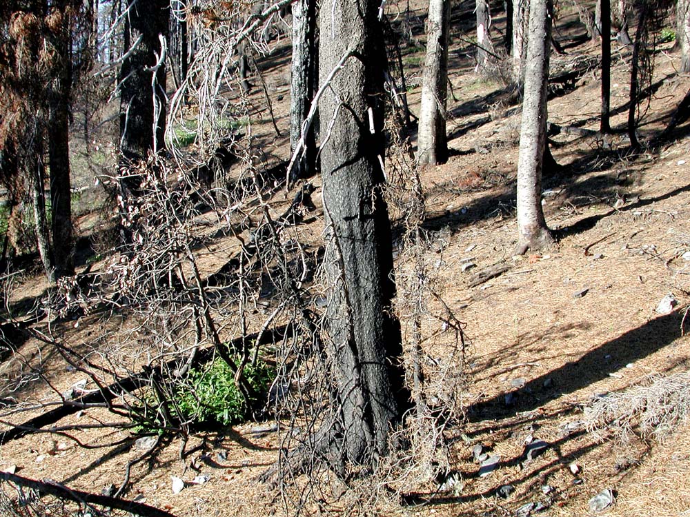
Western face of Hogg Rock from Highway 20, near the Santiam Pass, May 15, 2004.
For late 19th and early 20th century railroad, stage road, and and automobile highway engineers and builders, Hogg Rock was a key landmark and the final barrier in locating and crossing "Hogg Pass," from the cities and fields of the Willamette Valley to the towns and plains of eastern Oregon. Both the Pass and the Rock were named for Colonel T. Egenton Hogg, a railroad promoter who made the first attempt to build a rail line across the pass in the late 1800s. In 1929, in response to local political pressure, the US Board of Geographic Names officially broadened the name "Santiam Pass"--formerly located along the Santiam Wagon Road nearly three miles south of Hogg Rock--to include both locations and the general geographic formation they shared, and to eliminate the name of "Hogg Pass" entirely (McArthur 1982: 366-367).
| Icon | Hyperlink | Formats |
 |
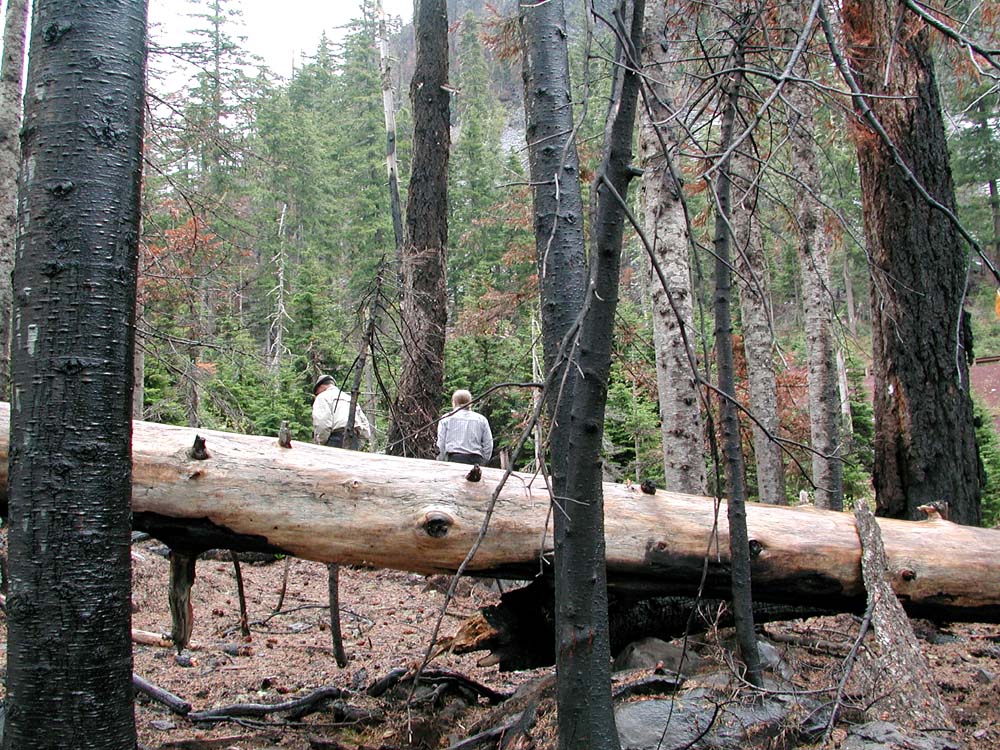
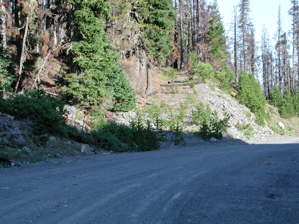
Artifacts. Principal Hogg Rock artifacts are Highway 20, the quarry, the abandoned railroad grade, and Santiam Lodge. These developments are joined by a network of old clearings, trails, and campsites. |
Photos (16) |
 |
Panoramas. The first two GPS-referenced panoramic photo sequences at Hogg Rock have been established along the ridgeline west of Highway 20 and at the first landing within the quarry. |
|
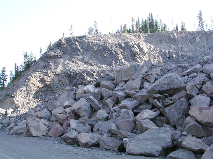 |
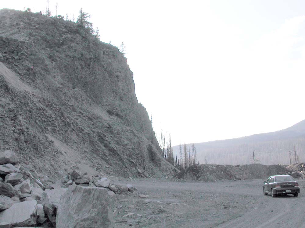
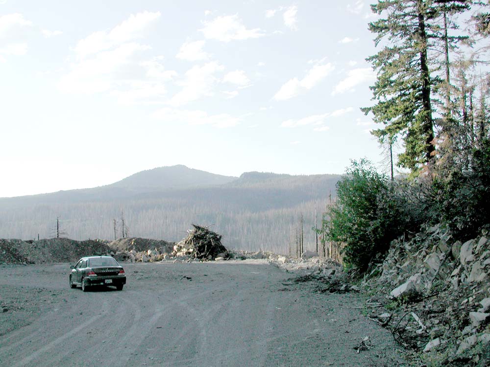
Quarry. Following Highway 20, the quarry seems to be the most disturbed area of Hogg Rock, and the area of greatest threat to wildlife habitat, aesthetics, and erosion. |
|
 |
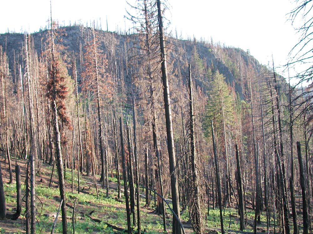
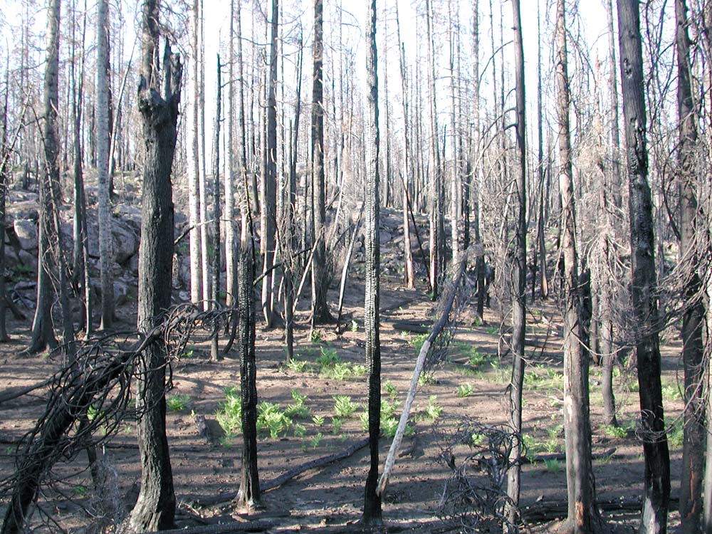
Railroad Grade. First established in the late 1800s and long abandoned, Col. Hogg's railroad grade continues to play a major role in wildfire behavior, and wild plant and animal ecology to this time. |
Text |
 |
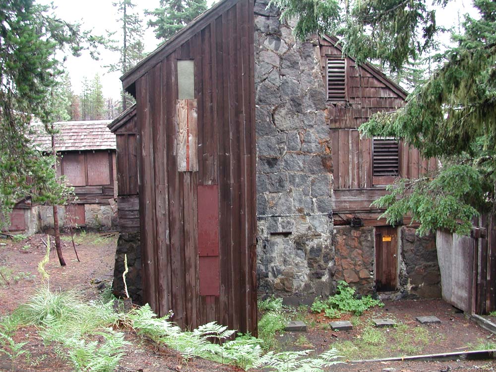
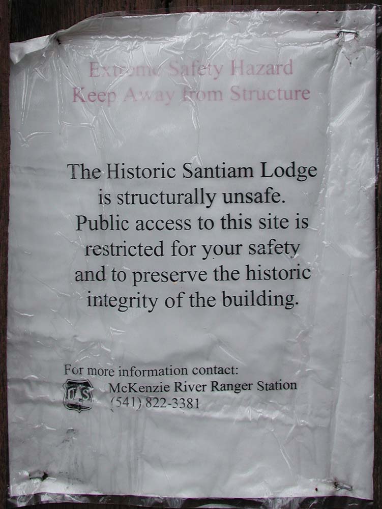
Santiam Lodge. This historic landmark amazingly survived the B&B Fire, which came within a hundred yards of the highly flamable log, beam, board, and shingle structure. Now it is rotting apart. |
Video |
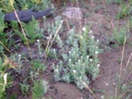 |
Wildflowers. Most of the wildflowers that bloomed near Hogg Rock in 2004 were in areas in which understory vegetation did not burn; mostly along current and abandoned roadways and clearings. |
Photographs (10) |
 |
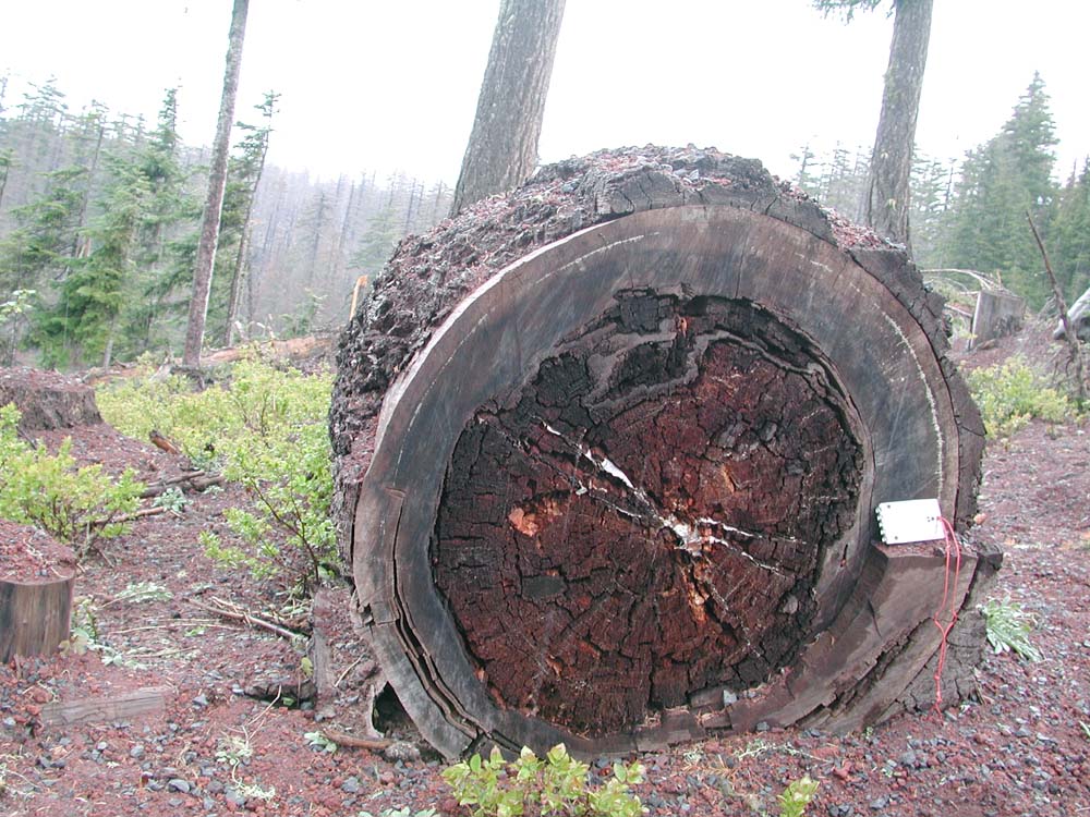
Miscellaneous. Remaining photographs record more general themes, including sedimentation, tree rings, and heart rot disease. |
Photographs (7) |
Principal Hogg Rock artifacts are Highway 20, the quarry, the abandoned railroad grade, and Santiam Lodge. These developments are joined by old clearings, trails, and campsites.
|
 |
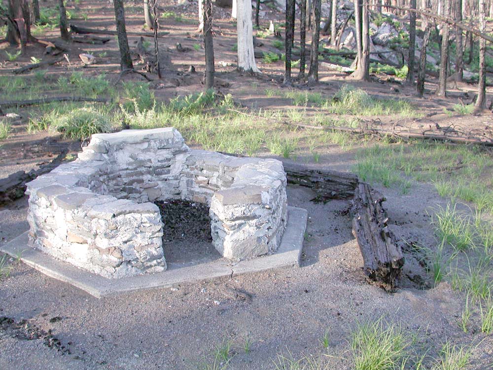 |
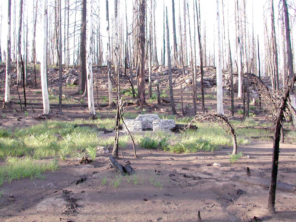
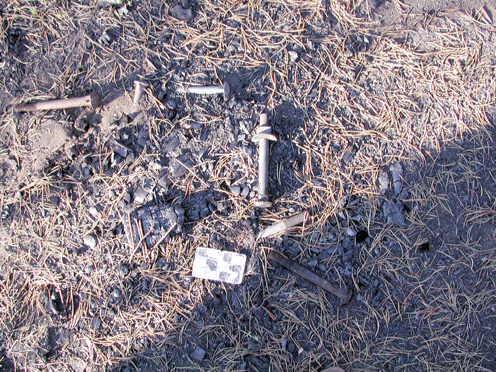
| This old fireplace is situated below the rimrock in a location that may have been used for centuries. Note the unburned vegetation. | Charred wood in an unburned location, bolts, and old-fahioned nails are evidence that a site has been used through time. | Close inspection of the fireplace shows it to be of relative recent vintage and of continued use. |
 |
||
| This fireplace was located on a small hillock and served by a water spigot a few yards away. | Straight alignment of tree rows and unburned ground vegetation mark old clearings and roads. | The abrupt change from total vegetation kill within the burned timber, to no kill within disturbed areas was often notable |
The first two GPS-referenced panoramic photo sequences at Hogg Rock have been established along the ridgeline west of Highway 20 and at the first landing within the quarry.
| Icon | Hyperlink | Date | Description | North | West | Elevation |
| West_Ridgeline | May 15, 2004 | 360-Panorama | ||||
 |
West_Ridgeline | Slideshow (10) | ||||
| First_Landing | July 20, 2004 | 180-Panorama | ||||
|
First_Landing | Slideshow (5) |
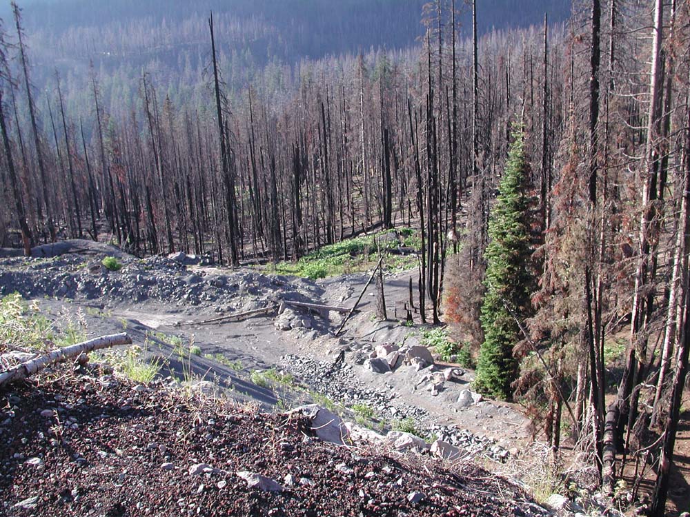
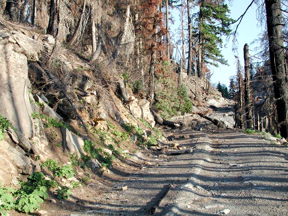
Following Highway 20, the quarry seems to be the most disturbed area of Hogg Rock, and the area of greatest threat to wildlife habitat, aesthetics, erosion, and other local and national concerns.
 |
 |
 |
| View from lower landing of the quarry, looking downhill and to the west. Note the erosion and the burning patterns. | View west from the first landing of the quarry. The railroad grade begins downhill from here, along the cutbank to the right. | North slope of Hogg Rock, to the immediate west of the quarry. Note the B&B overstory and understory burn patterns in the foreground and along the ridges |
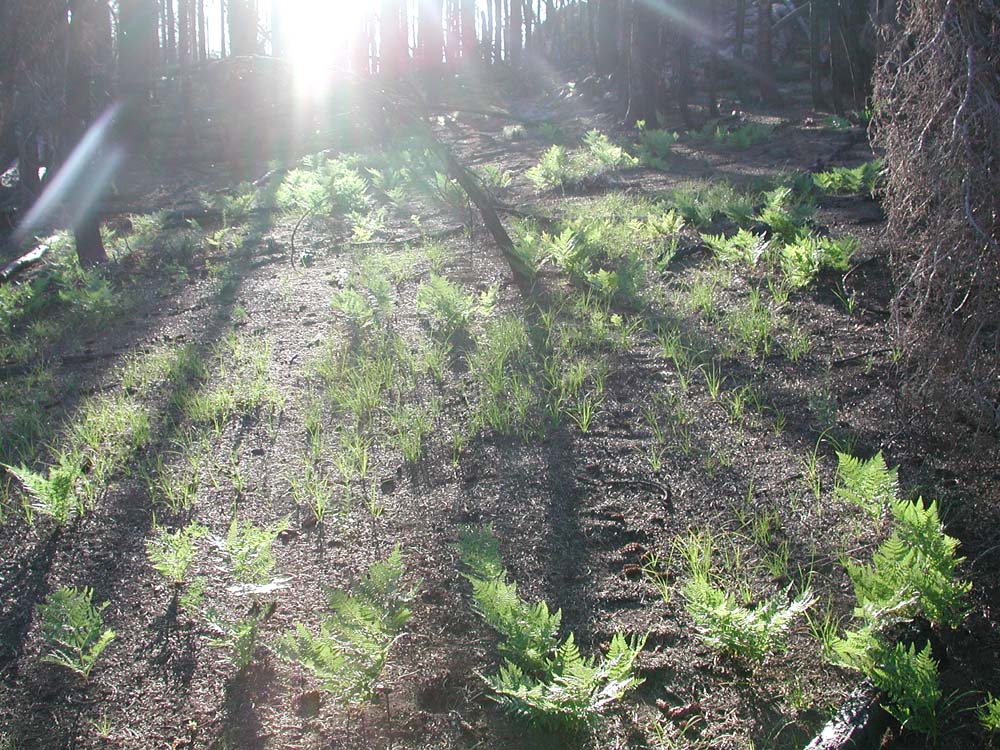
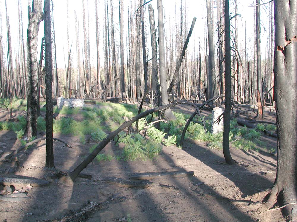
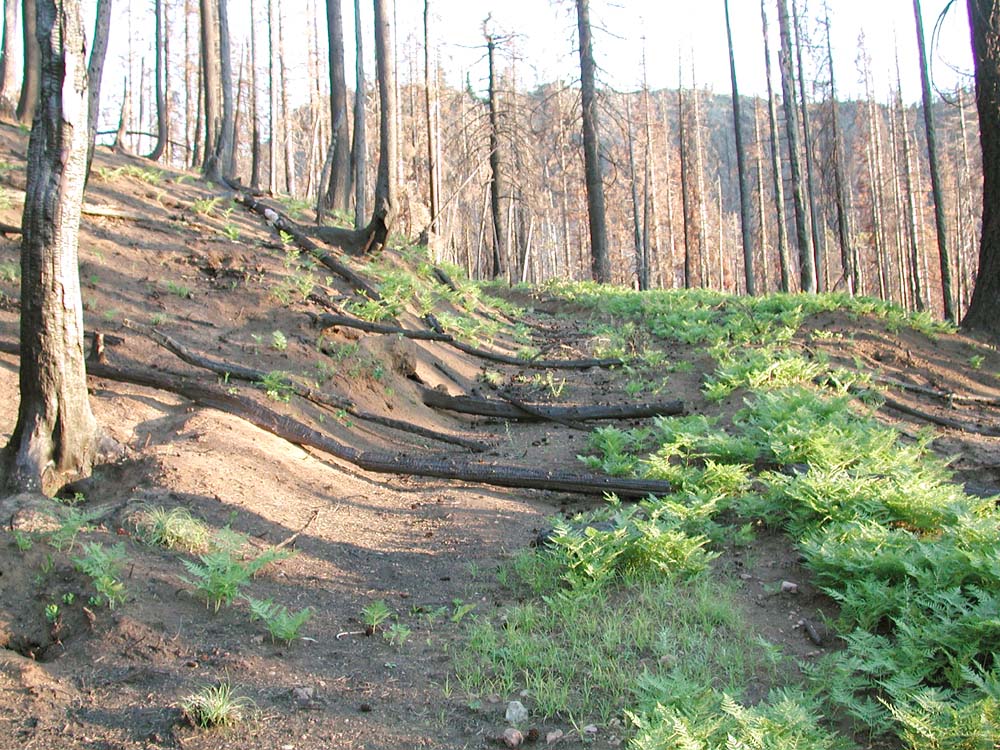
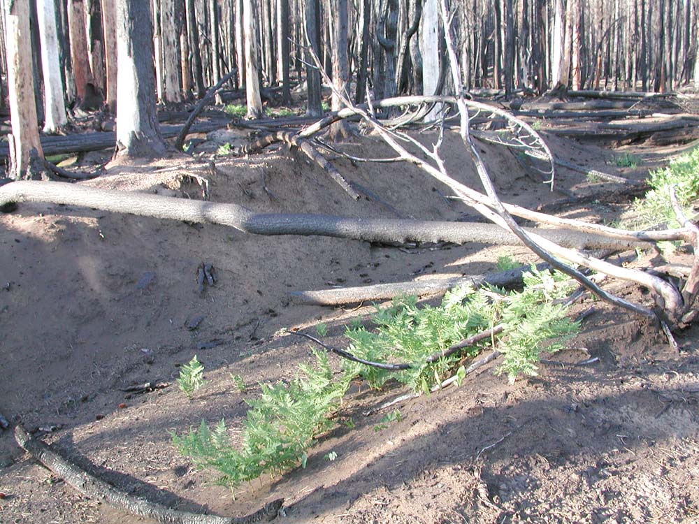
First established in the late 1800s and long abandoned, Col. Hogg's railroad grade continues to play a major role in wildfire behavior, and wild plant and animal ecology to this time.
 |
 |
|
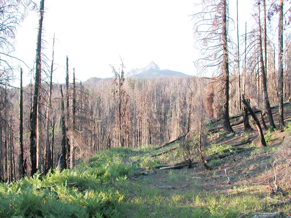
| The old roadbed can be seen continuing uphill at this point across the access road to the quarry. Note the older tree seedlings along its surface. | Bracken fern follows almost the entire route of the roadbed from the lower landing at the quarry until it nearly reaches Highway 20. | A bracken fern, grass, and wildflower carpet and a channel of burned trees frame this view of Three Fingered Jack. |
 |
 |
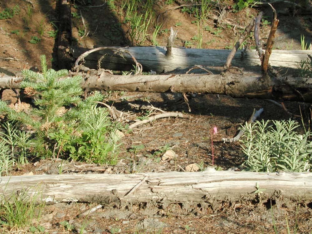 |
| Bracken fern came up prolifically over thousands of acres of the B&B burn. Often, it was limited to defined areas, such as this sunken roadbed between the quarry and Santiam Lodge. | A turn-out at the bottom of a grade from the quarry's first landing may have once been a building site. Native grasses, wildflowers, and trees survived the fire there. | Large, woody debris, tree seedlings, grass, and wildflowers remain unburned along the surface of the old roadbed. |
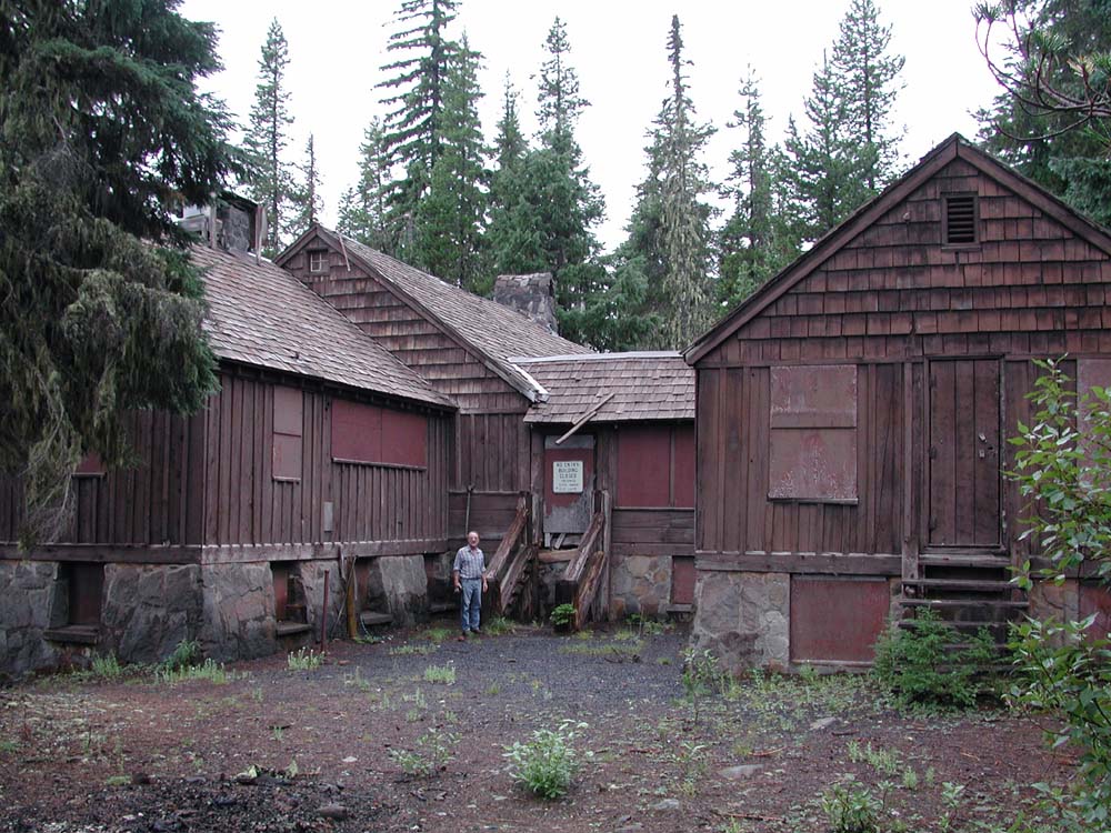
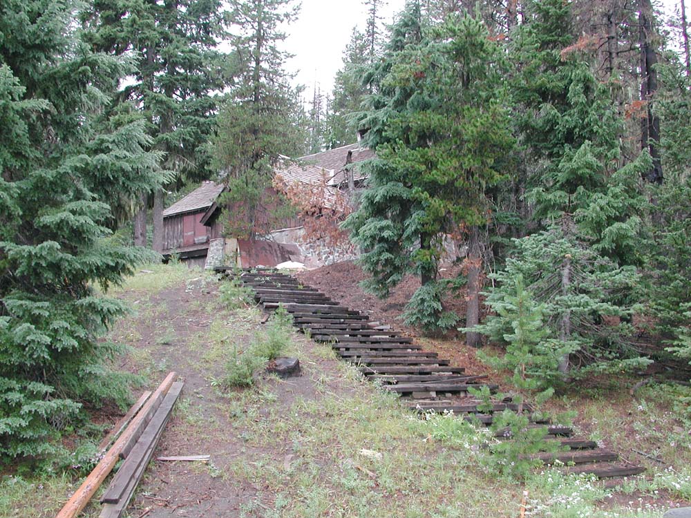
This historic landmark amazingly survived the B&B Fire, which came within a hundred yards of the highly flamable log, beam, board, and shingle structure. Now it is rotting apart.
 |
 |
|
 |
Most of the wildflowers that bloomed near Hogg Rock in 2004 were in areas in which understory vegetation did not burn; mostly along current and abandoned roadways and clearings.
Remaining photographs record more general themes, including sedimentation, tree rings, and heart rot disease.
 |
 |
 |
![]()
©2004 Oregon Websites and Watersheds Project, Inc. and a2b-Graphics.com.