South Fork Historical District
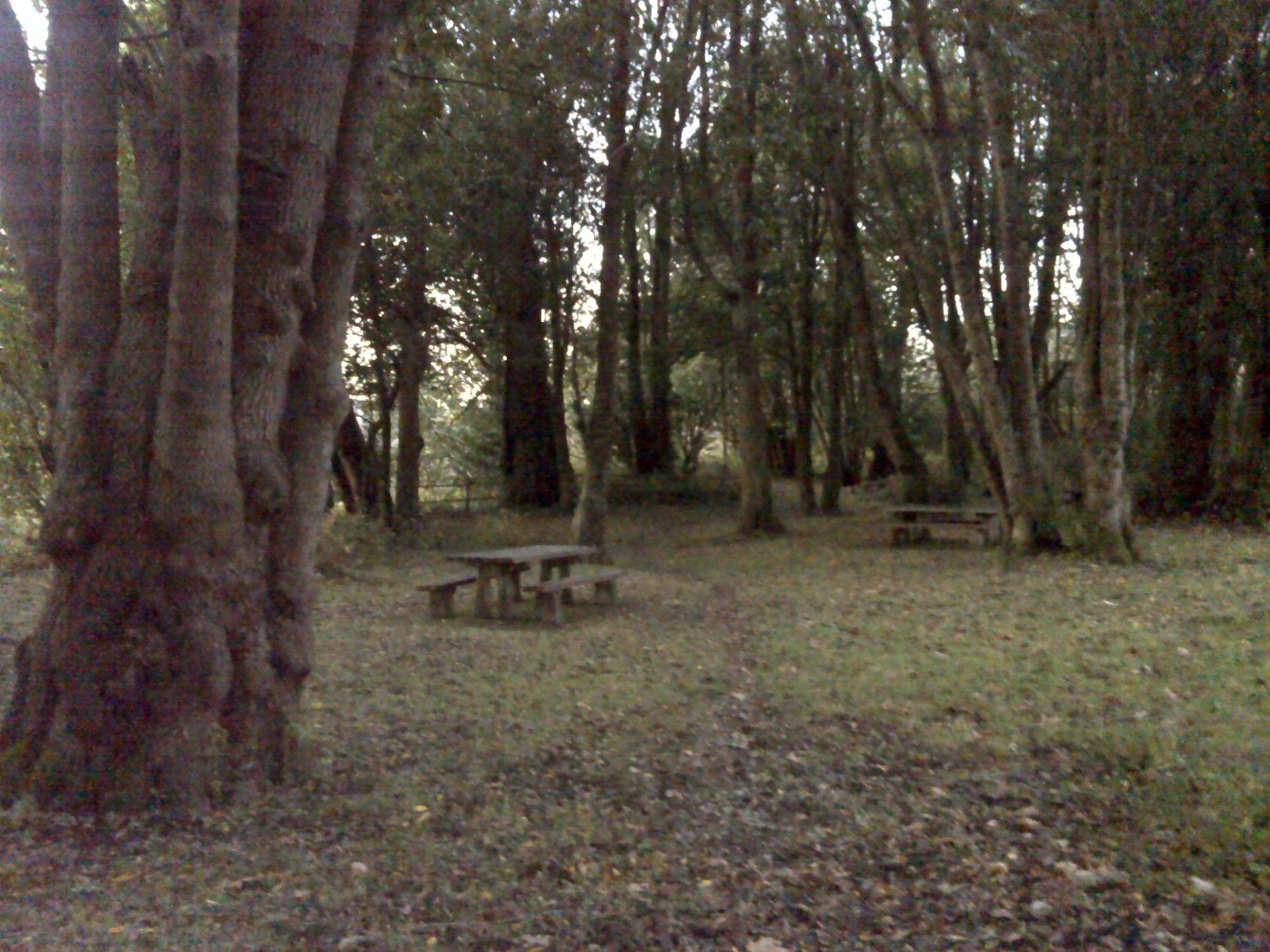
Camp Creek old-growth myrtle grove campground, November 30, 2011 (georeferenced photo by B. Zybach).
This inland district is formed by the South Fork Coquille and its tributaries. It is bounded on the south and south east by the watershed separating the Rogue River from the Coquille, and on the east by the watershed separating the South Umpqua River from the Coquille. The northern boundary is the Middle Fork Coquille subbasin (Bridge-Remote Historical District) and the western boundary is the watershed divide between the South Fork and the Elk River, Sixes River, and Floras Creek drainages on the coast (Port Orford Historical District).
This area shares a similar Donation Land Claim history with Camas Valley to the northeast and a similar Rogue River Indian War history with Coos Bay to the northwest, but a defining moment in its own history was the discovery of gold by Coarse Gold Johnson in Johnson Creek at the southern base of Johnson Mountain in 1854. The subsequent stampede of Chinese, American, and European miners immediately altered the landscape with ditches, pack trails, and wagon roads, affecting the local landscape for decades to follow. South Fork Historical District is shown on Map 10 and Table 7.
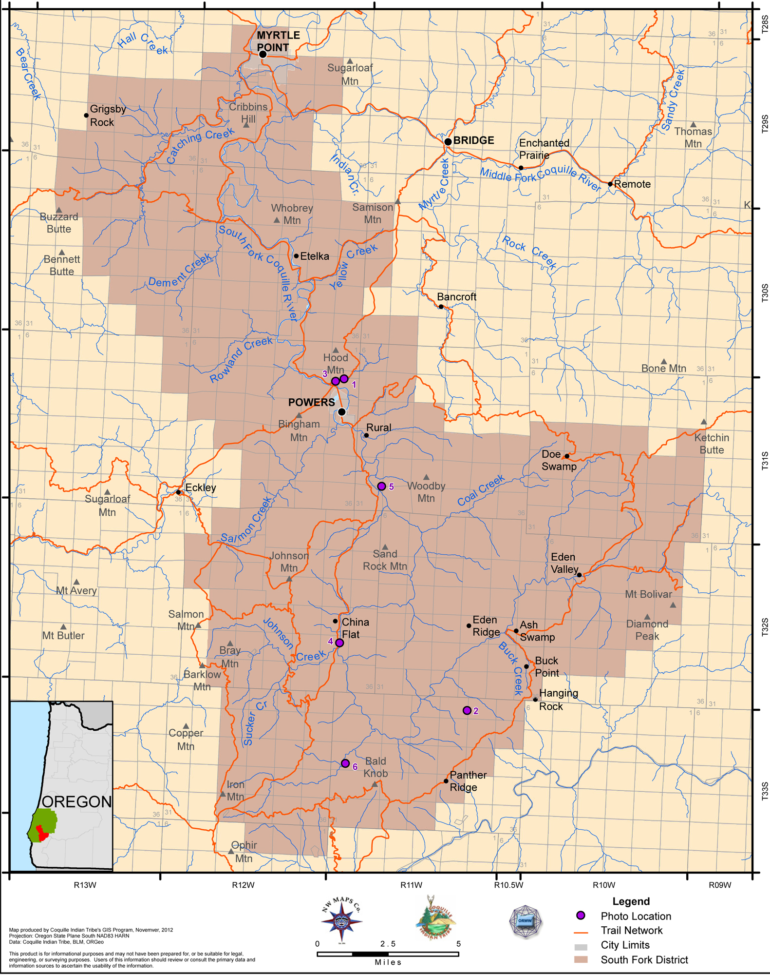
Map 10. Coquelle Trails: South Fork Historical District (Zybach, Ivy & Harkins 2012).
.
|
|
|
|
|
|
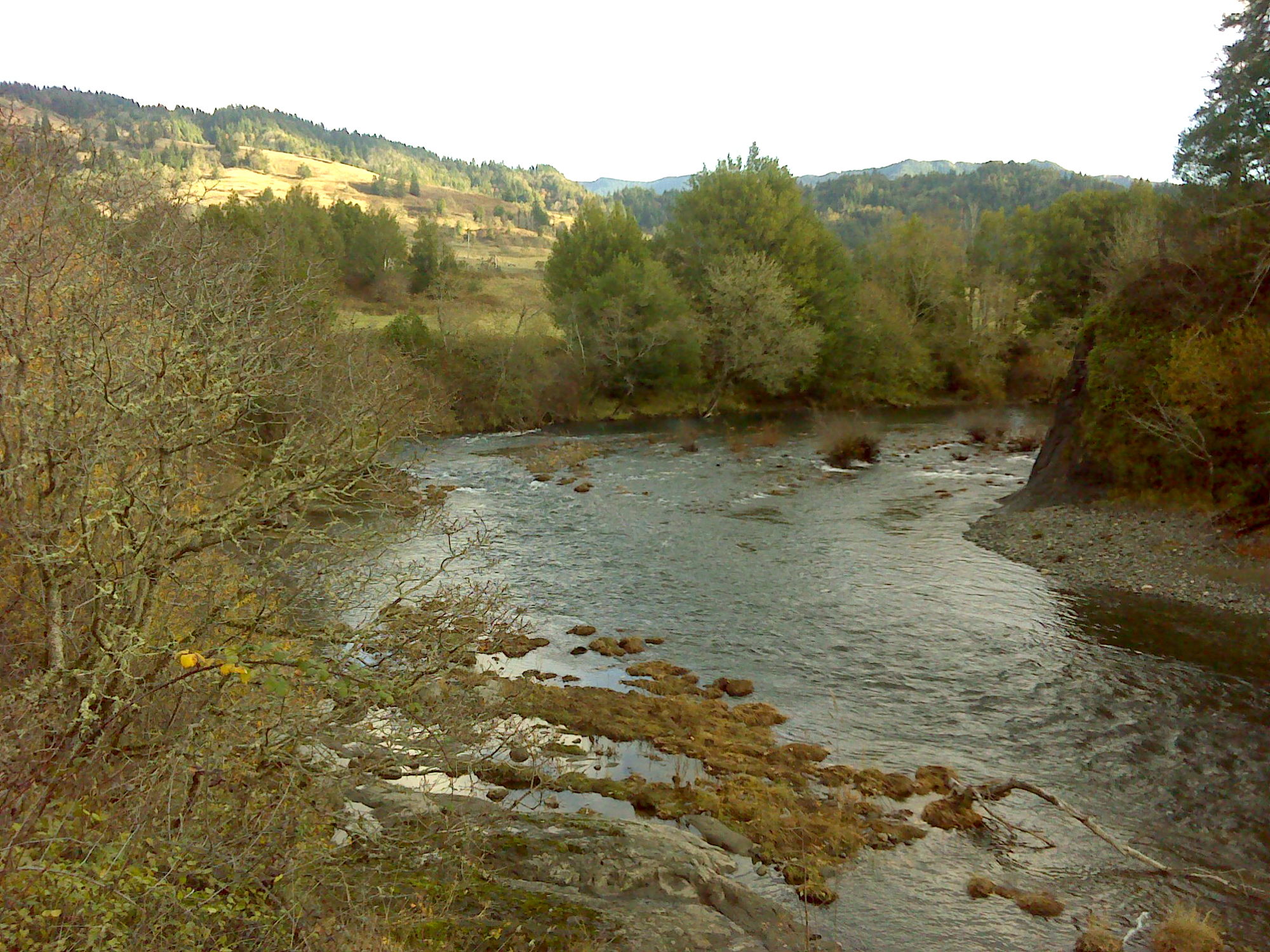
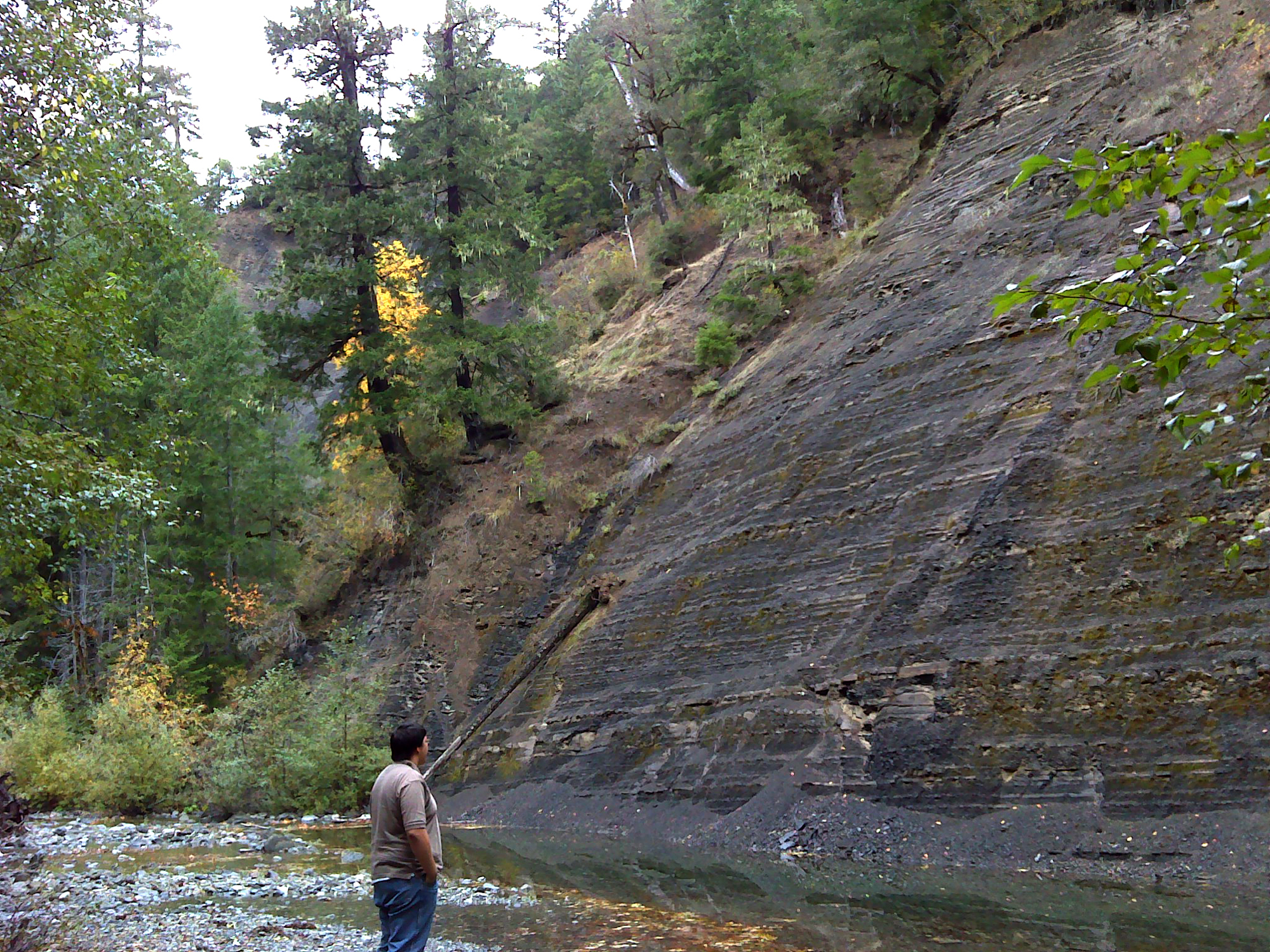
Table 7. Coquelle Trails: South Fork Historical District (B. Zybach 2011).
![]()