Historical Districts, 1826 - 2012
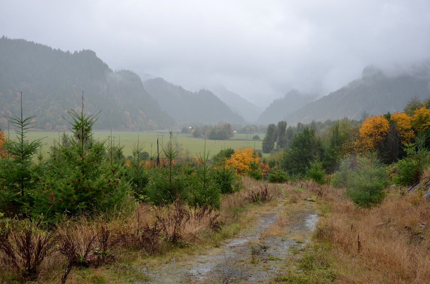
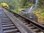
Old Road to Sitkum Valley, November 17, 2011 (georeferenced photo by B. Zybach).
Several new GIS layers were created by the Coquille Tribe during the course of this research and used to construct maps to display research results (Maps 1 - 11). The entire 1,400,000-acre study area was too large, however, to display more detailed information at a scale more appropriate for fieldwork or formal reports. Modern and historical political, school, and transit districts were used as a model for subdividing the study into more manageable portions; also named "districts."
Map 3 is an index to the seven separate “Historical Districts” that were found to individually share a common history, culture, geography, native plants and animals, and waterways. The Districts were then named: Allegany; Bandon; Bridge-Remote; Coos Bay; Fairview; Port Orford; and South Fork.
The linked pages to each of these districts contain a brief description, a map, and a table of six GPS-referenced photographs to locate test references and to serve as illustrations of local conditions. Final historical trail locations based on this research are shown in context to modern locations and indexed by legal descriptions that can be easily cross-referenced in Vol. II of this report.
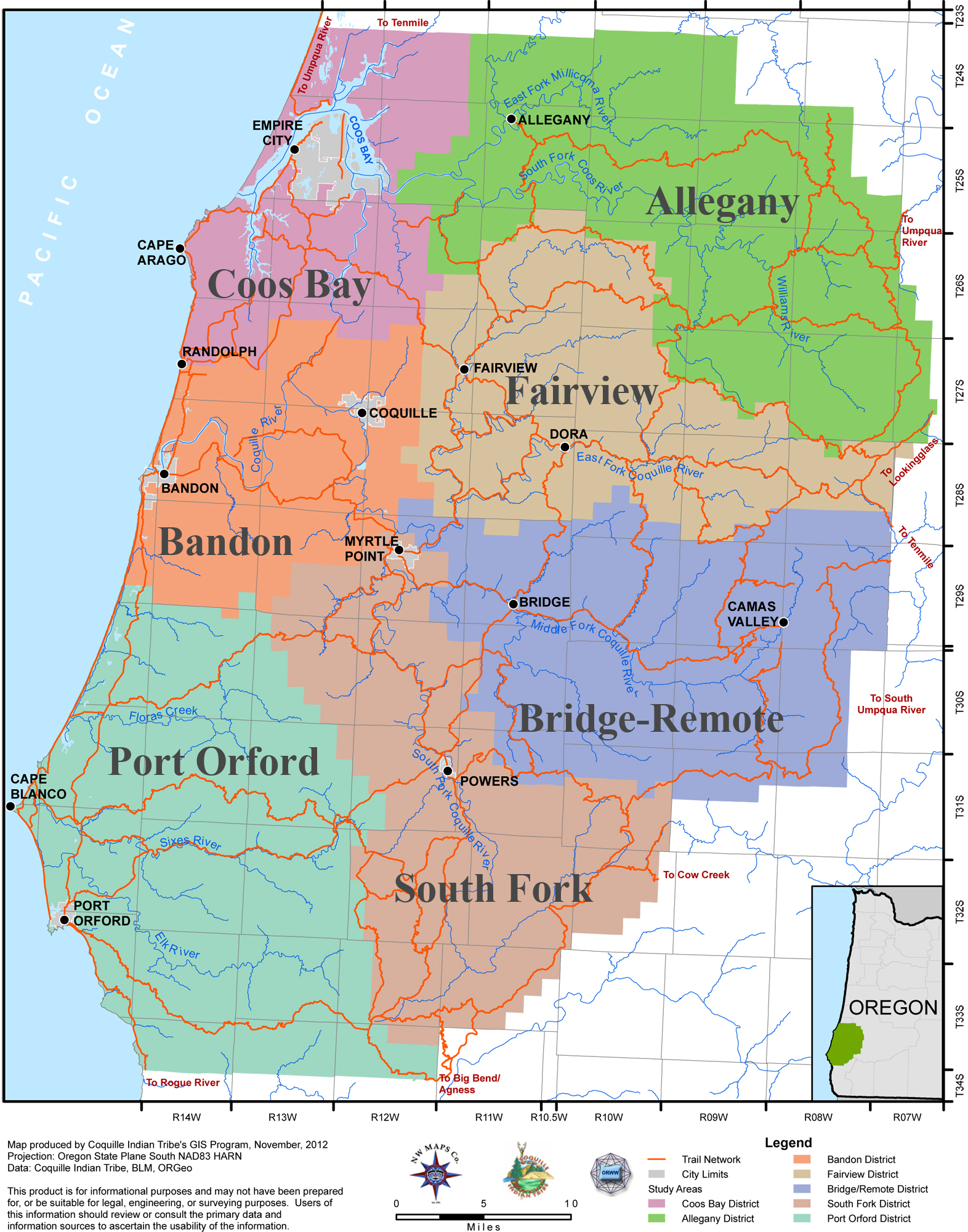
Map 3. Coquelle Trails Historical Districts Index Map. The red lines denote late precontact and early historical foot trails: where these trails intersect or terminate at tidewater, canoe travel routes likely became the preferred mode of travel -- even if only to ford trail crossing points.
Coquelle Trails Historical Districts
 |
|
 |
|
 |
|
 |
|
 |
|
 |
|
 |
![]()