Polk County
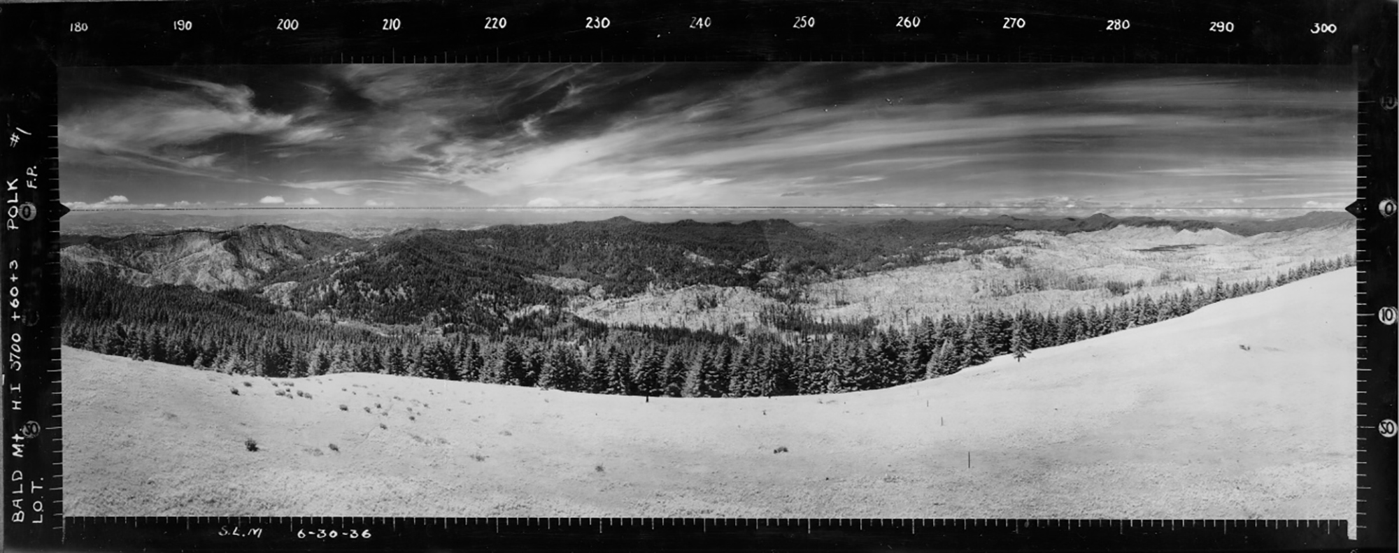
East View, Bald Mountain Lookout, Polk County (S.L.M., June 30, 1936).
Polk County has had few historical lookouts for several reasons: it is mostly comprised of farmland not subject to wildfire; there is little national forest land within its boundaries; and ephemeral fire lookouts were based on localized logging operations. Only two lookouts were known to have had Osborne photos taken: Bald Mountain and Dorn Peak. At this time (March, 2020) the Osbornes for Dorn Peak have not been located.
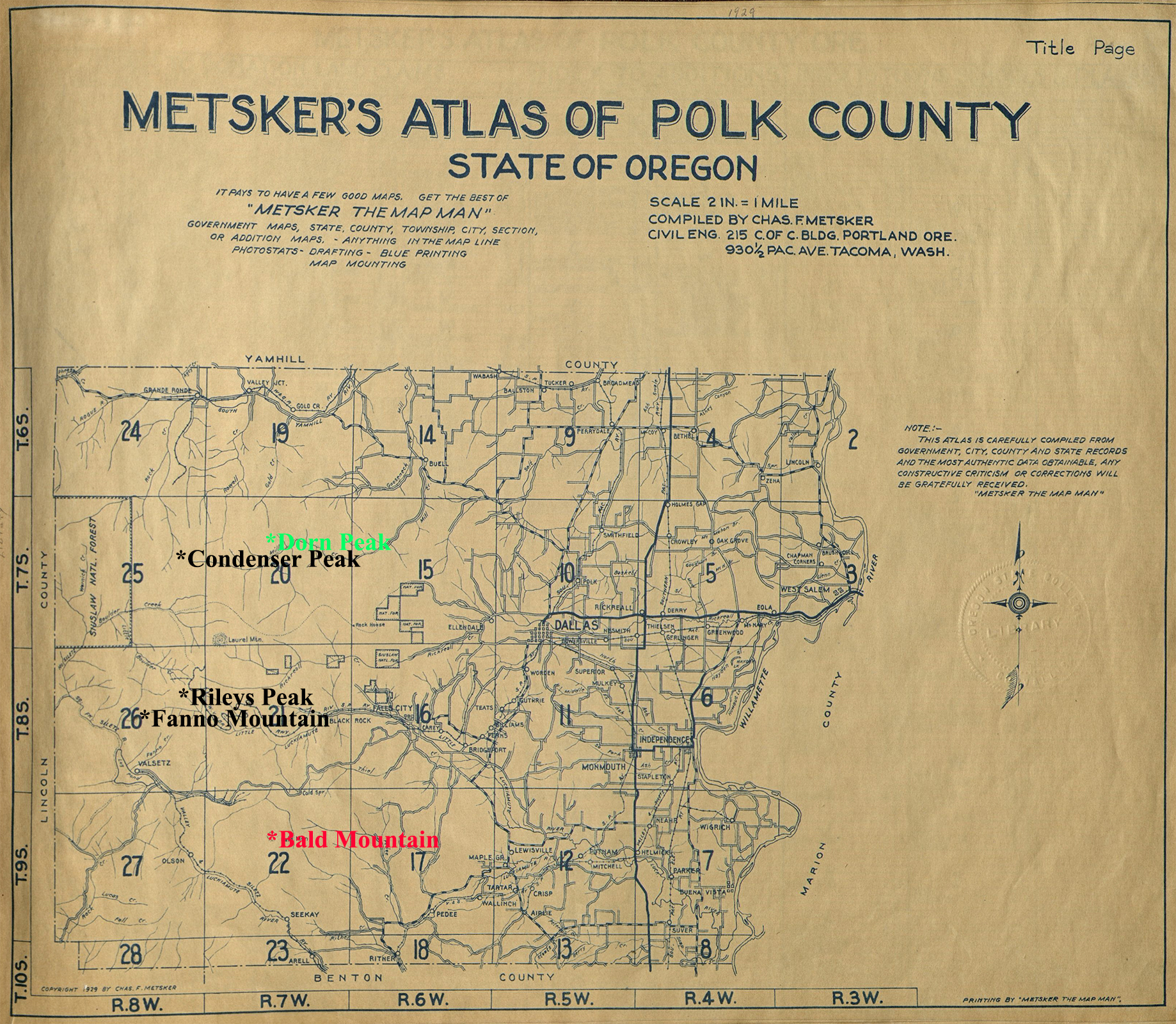
The Polk County Index Map for historical Forest Fire Lookouts is based on a 1929 Metsker landownership map.
| ICON | LOOKOUT | START | STOP | TSP | RNG | SEC | ELEV. |
|---|---|---|---|---|---|---|---|
|
Bald Mountain | 1913 | 1969 | 09 S. | 07 W. | 9 | 3,232 |
| Condenser Peak | 1950 | 1969 | 07 S. | 08 W. | 13 | 2,290 | |
Missing |
Dorn Peak | 1929 | 1959 | 07 S. | 07 W. | 9 | 2,849 |
| Fanno Mountain | 1939 | 1962 | 08 S. | 08 W. | 15 | 3,333 | |
| Rileys Peak | 1930 | 1968 | 08 S. | 08 W. | 12 | 3,285 |
© 2006-2020, Oregon Websites and Watersheds Project, Inc. & NW Maps Co.
