Upper South Umpqua Headwaters Precontact Reference Study
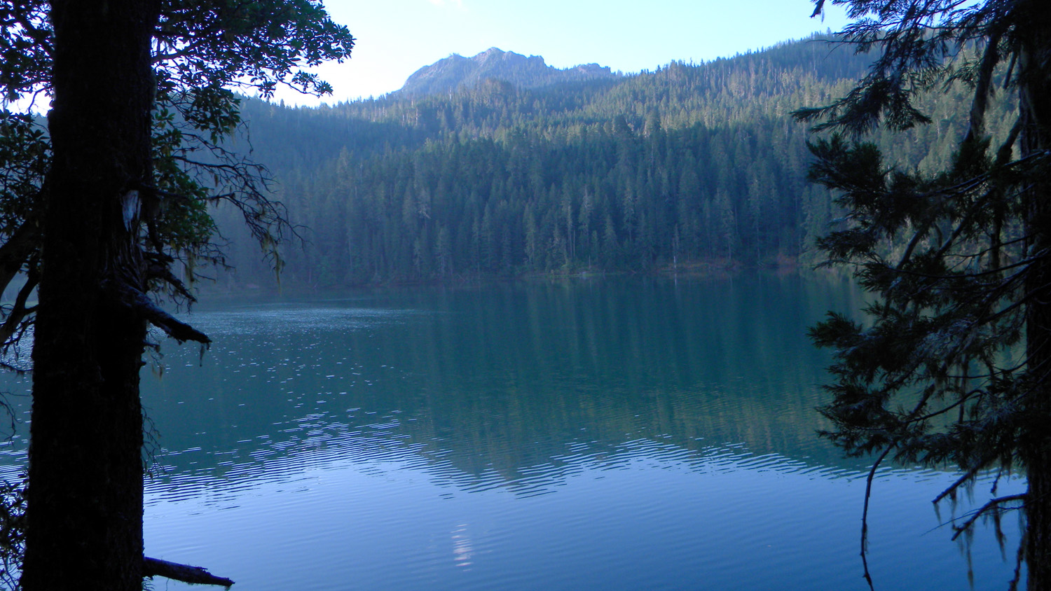
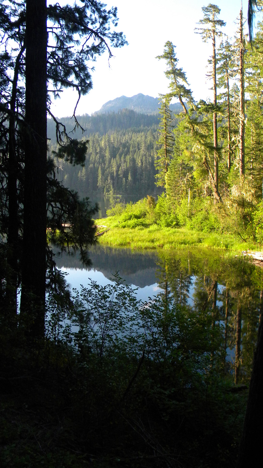
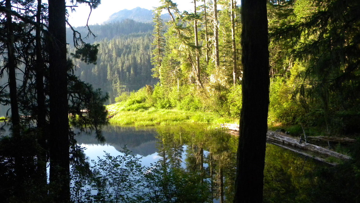
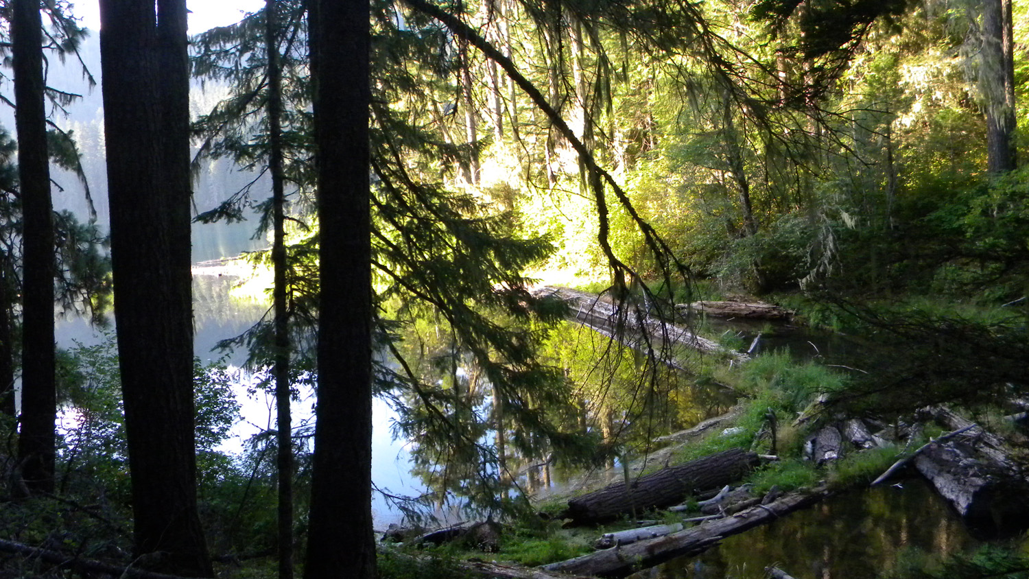
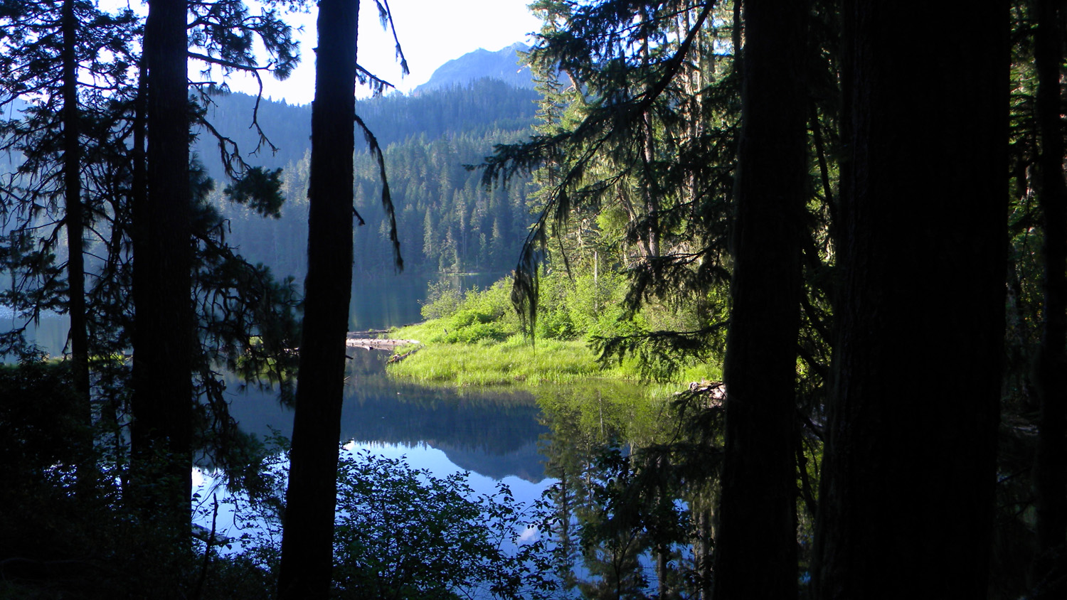
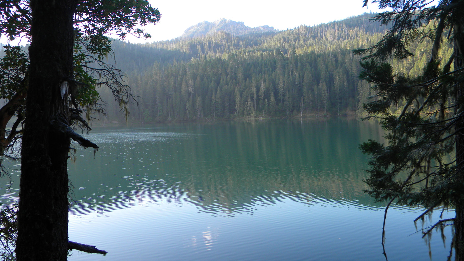
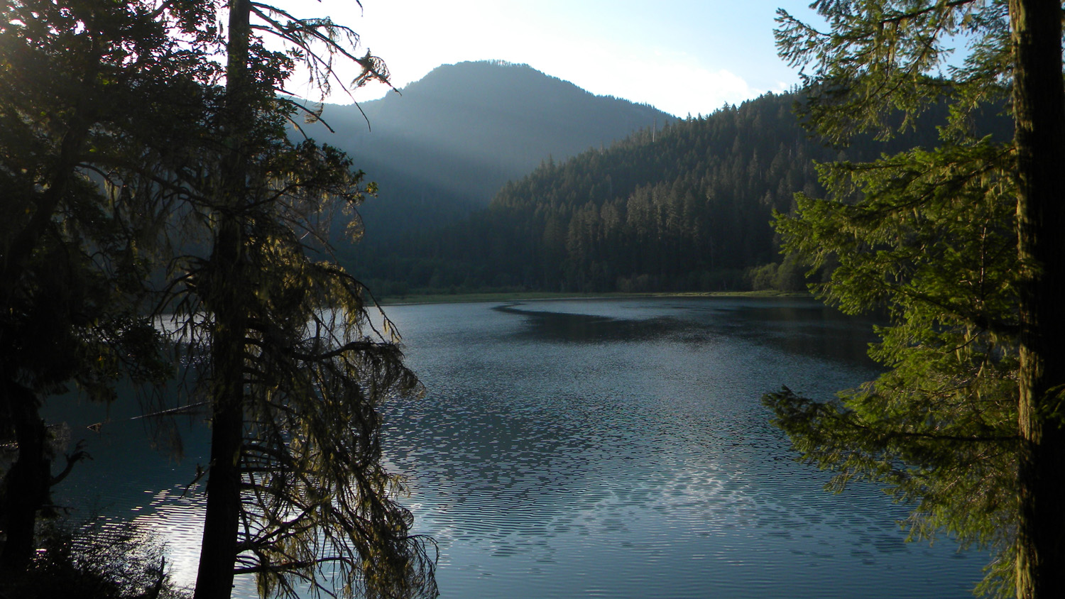
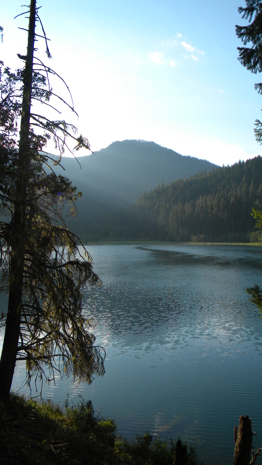
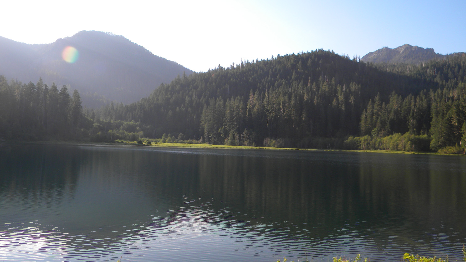
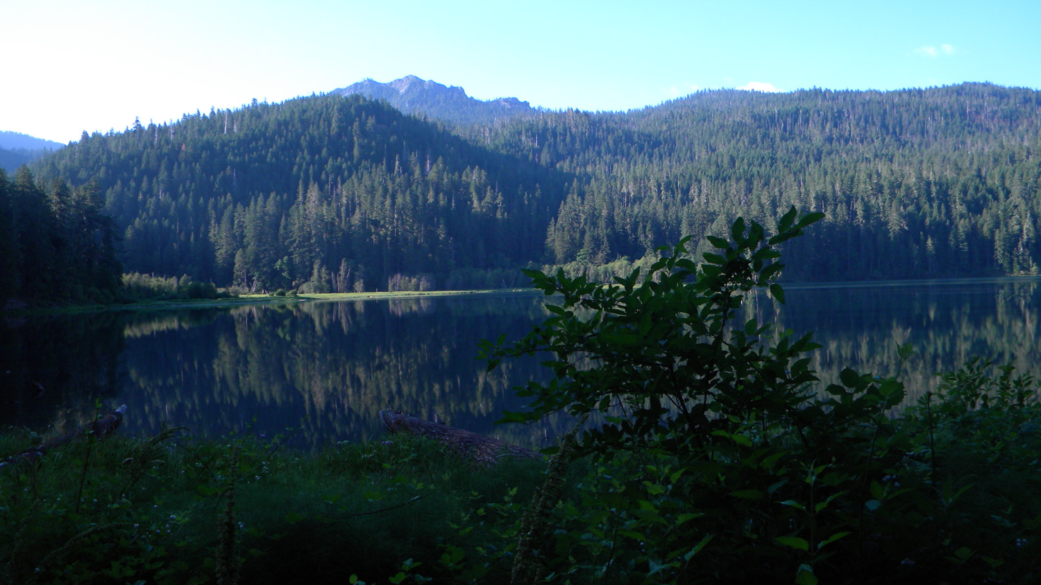
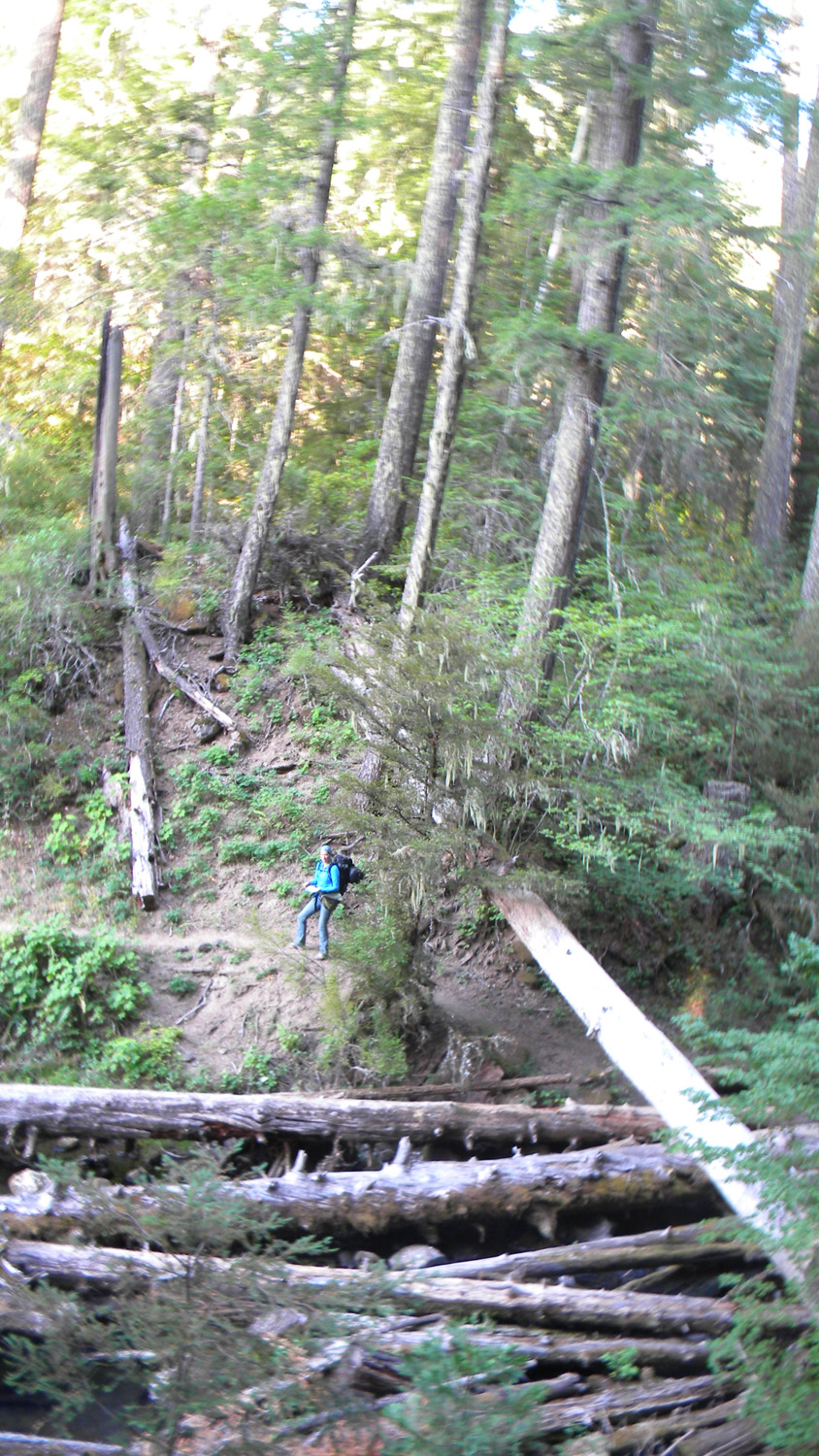
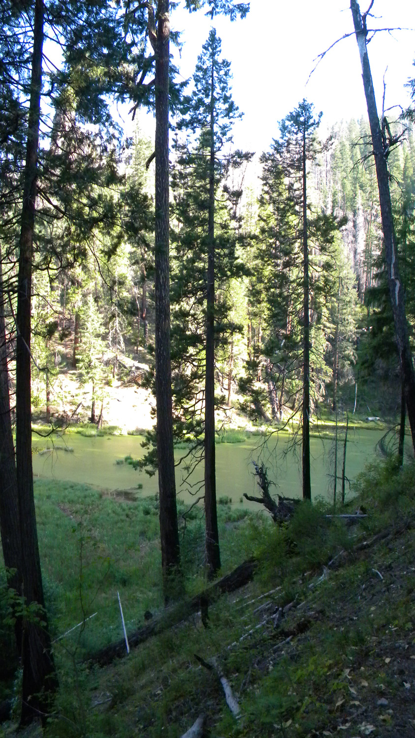
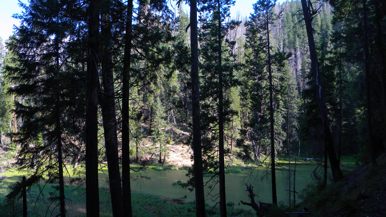
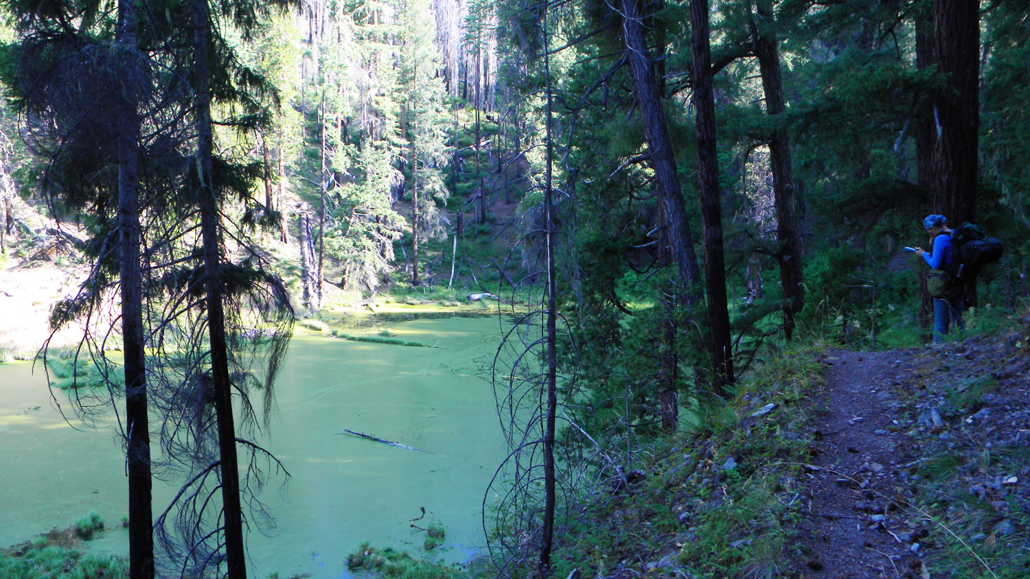
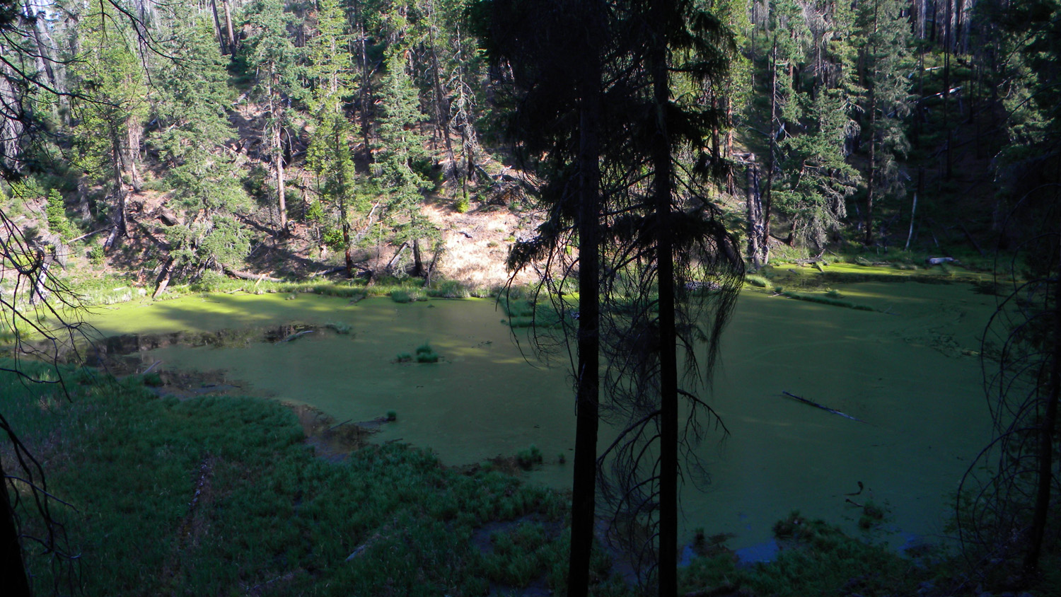
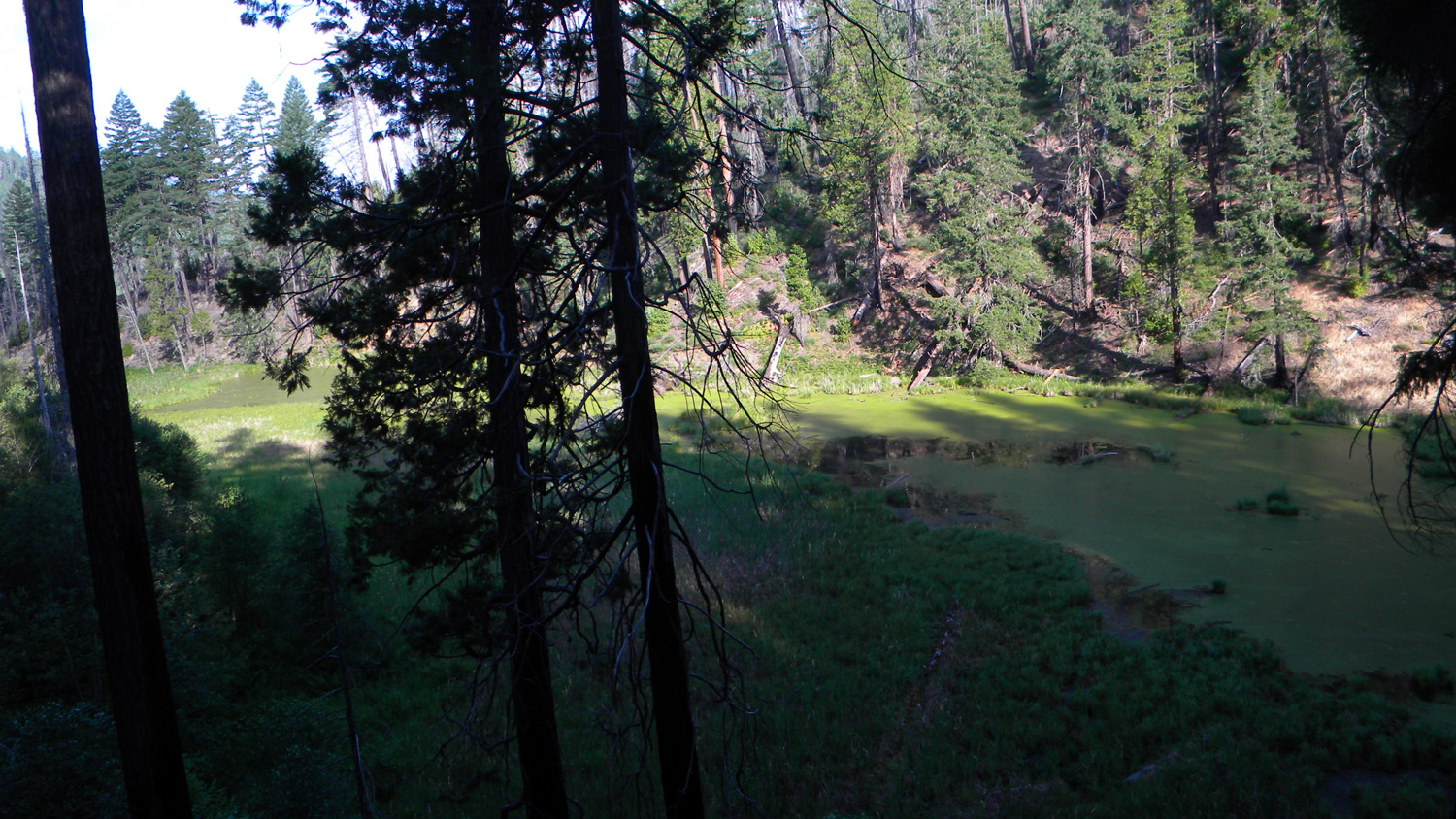
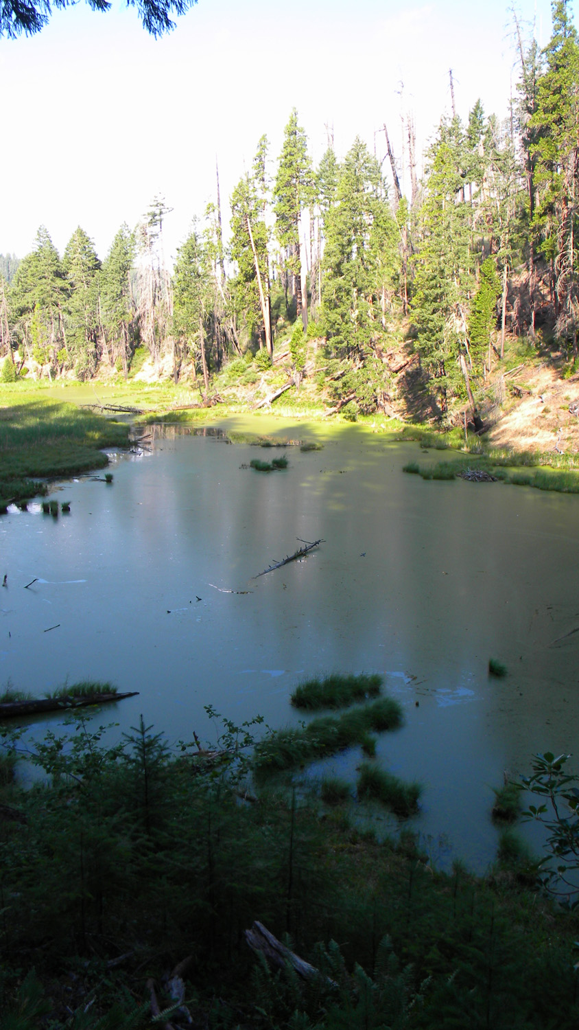
Fish Lake
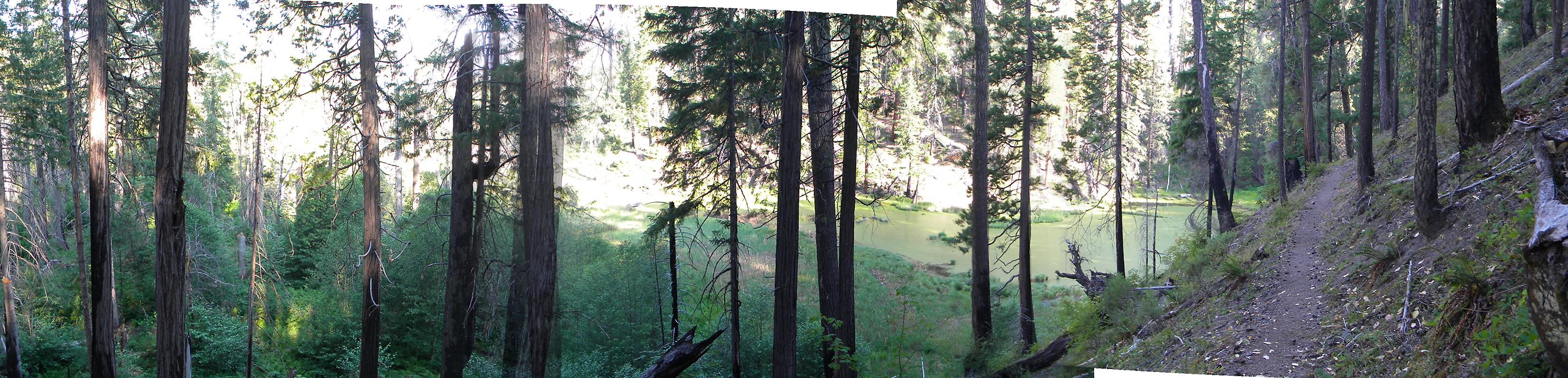
Fish Lake, South Umpqua River, Douglas County, Oregon, July 30, 2010 (B. Zybach).
Fish Lake Area of Special Interest is located
within the Castle Rock Fork subbasin of the South
Umpqua River drainage in Tsp. 29 S., Rng. 3 E.
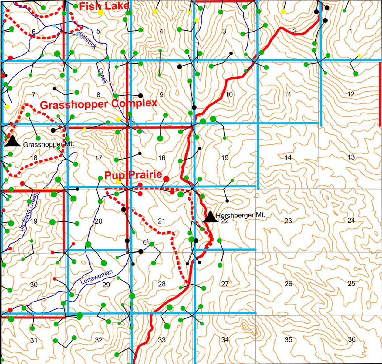
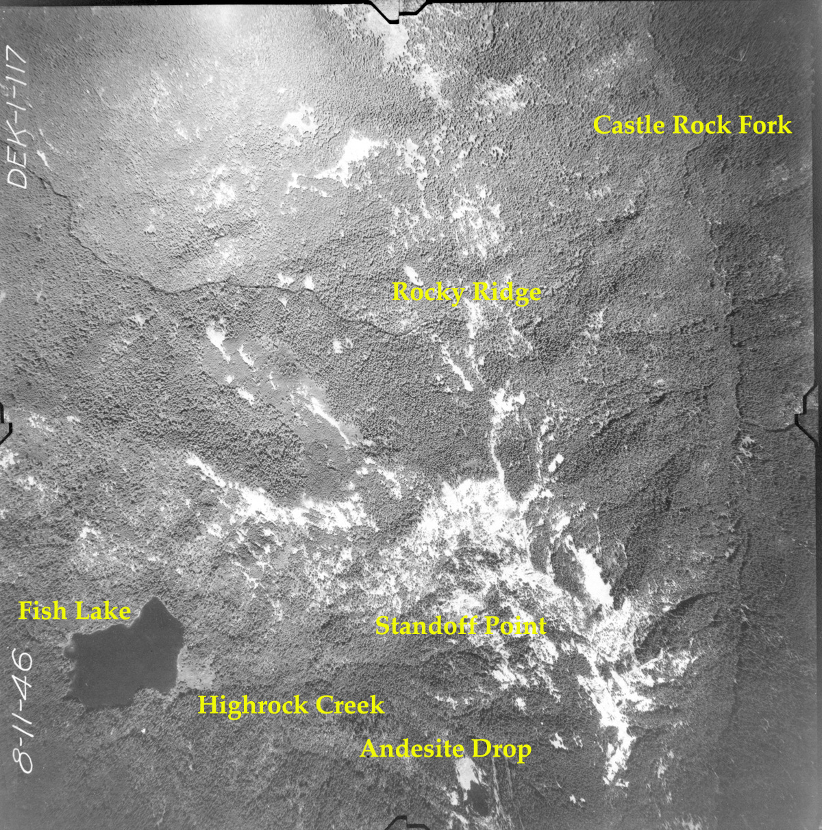
This page includes specific maps
and aerial photographs of Fish Lake, panoramas
and QTVR video files constructed from the
2010 field research studies, and individual historical
and 2010 documentary photographs showing current
condtions, native plants and animals, and other points of interest related
to this study area. Panoramas and QTVRs
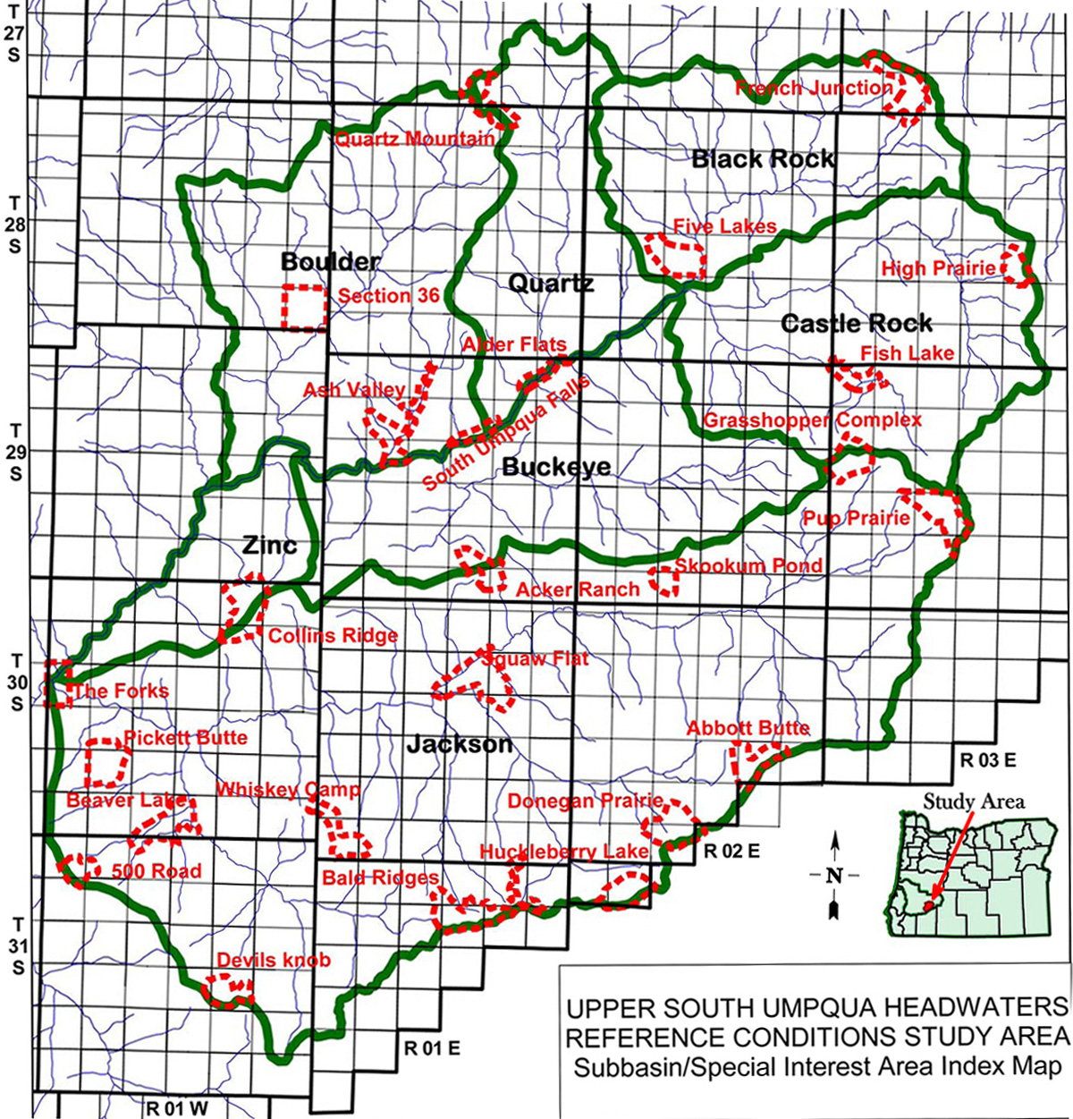
Subbasin Index Map
Tsp. 29 S., Rng. 3 E.
August 11, 1946
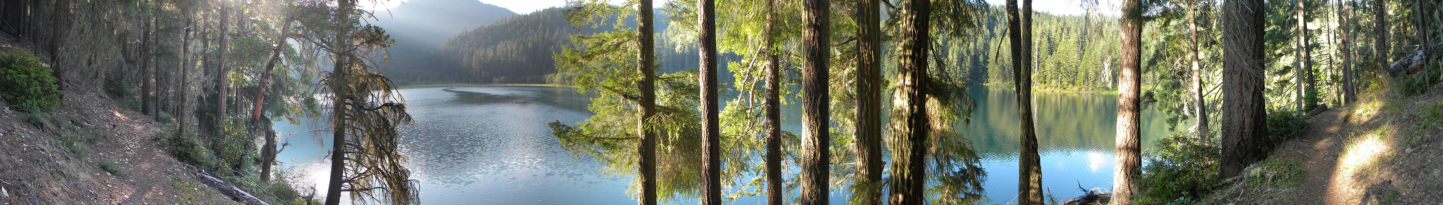
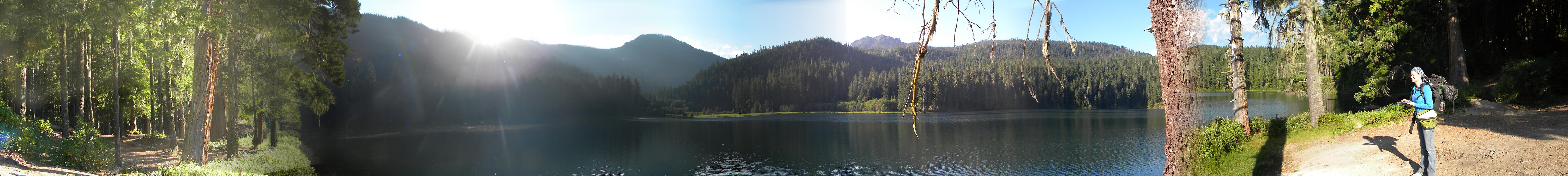
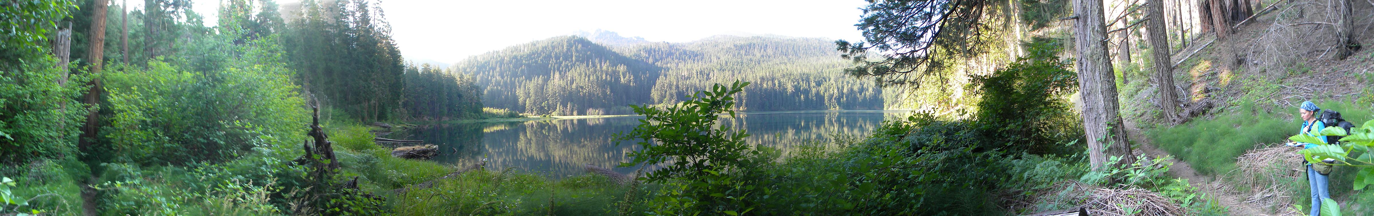
6104-6112_Fish_Lake_Trail-360![]()
6135-6139_Fish_Lake-180![]()
6142-6149_Fish_Lake-180![]()
6152-6156_Fish_Lake-180![]()
6163-6165_Beaver_Marsh-180![]()
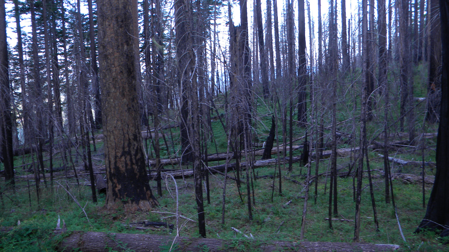
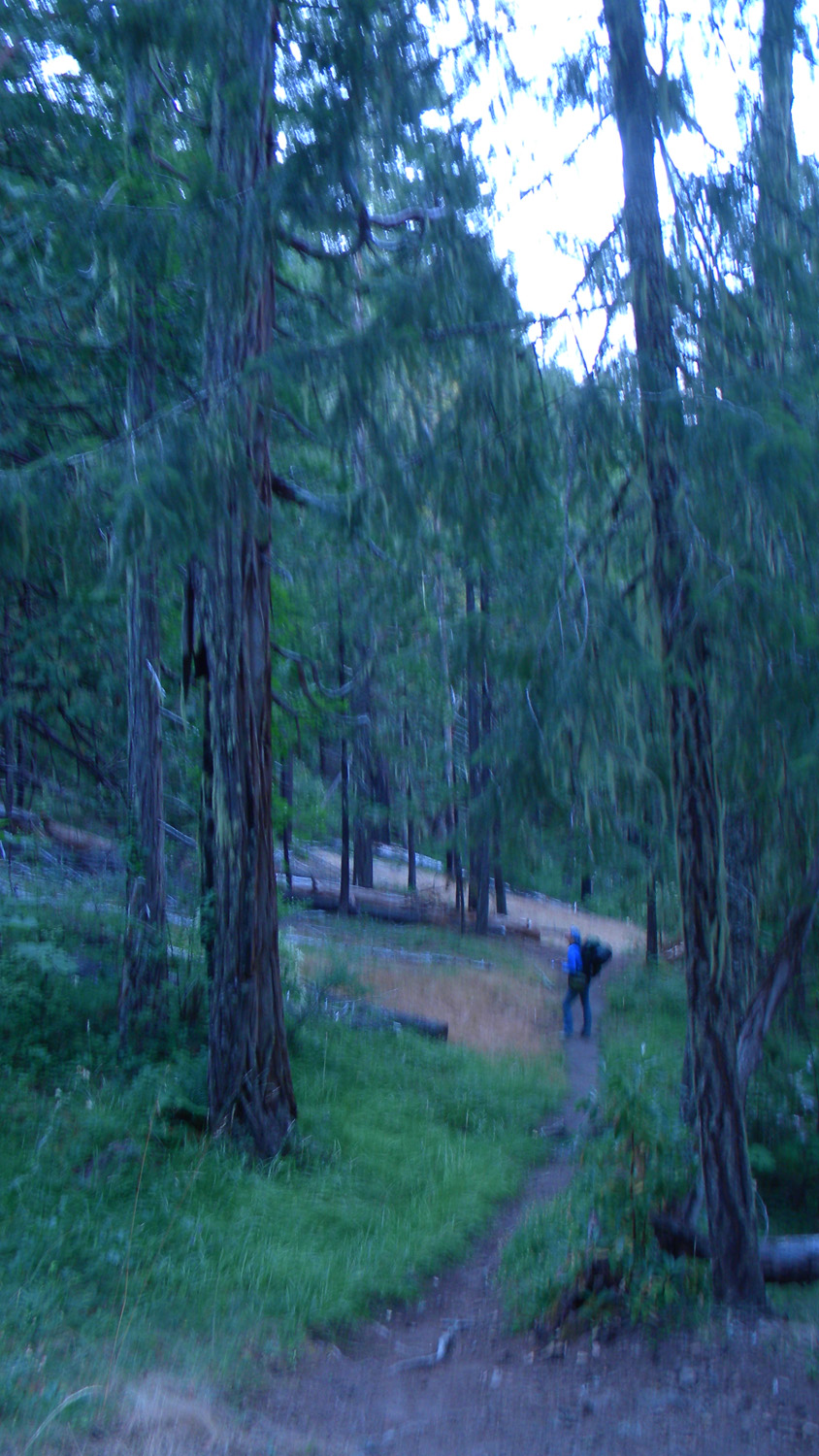
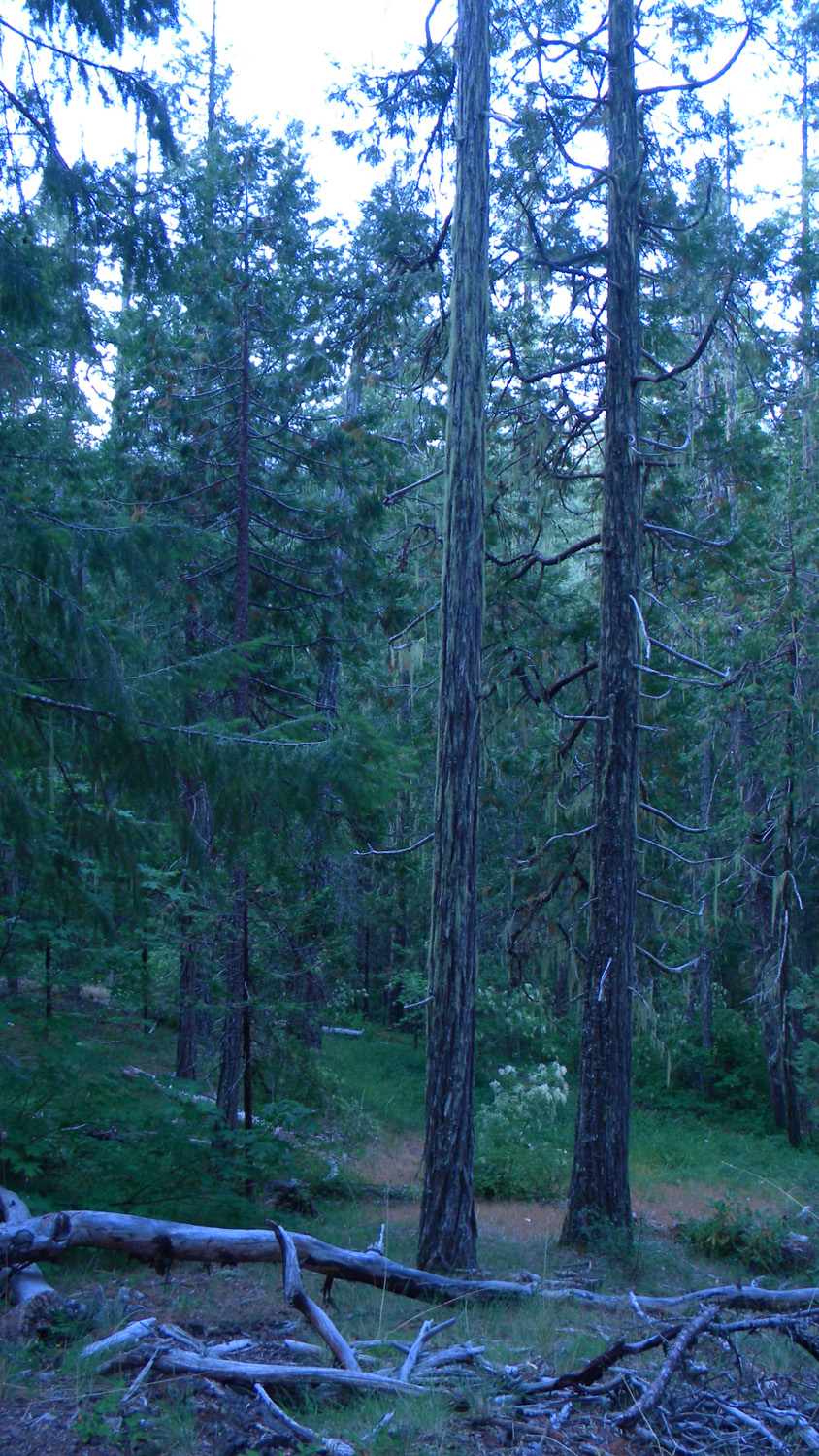
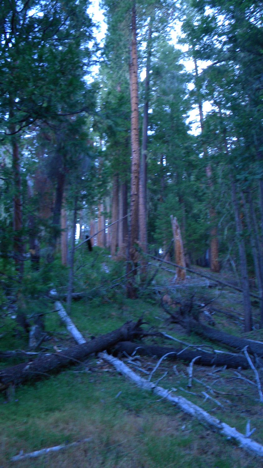
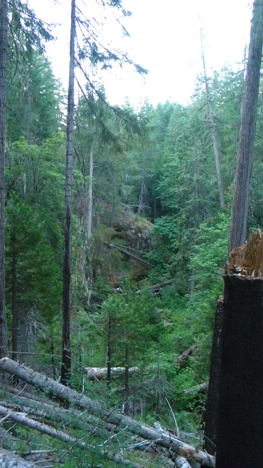
6105_Burnt_Trees6113_Fish_Lake_Trail6114_Fish_Lake_Trail6115_Fish_Lake_Trail_Trees6116_Fish_Trail_Trees
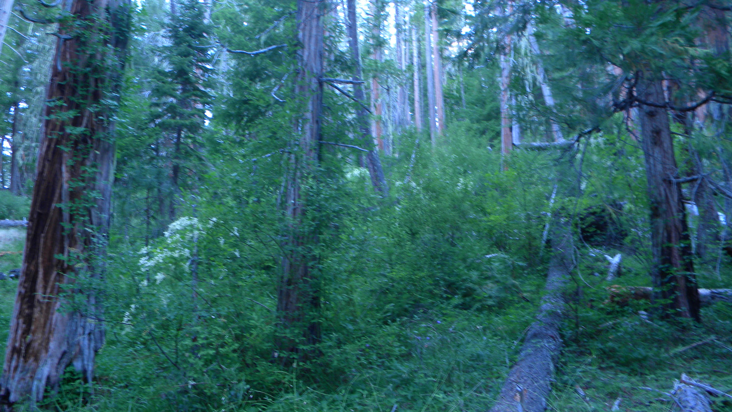
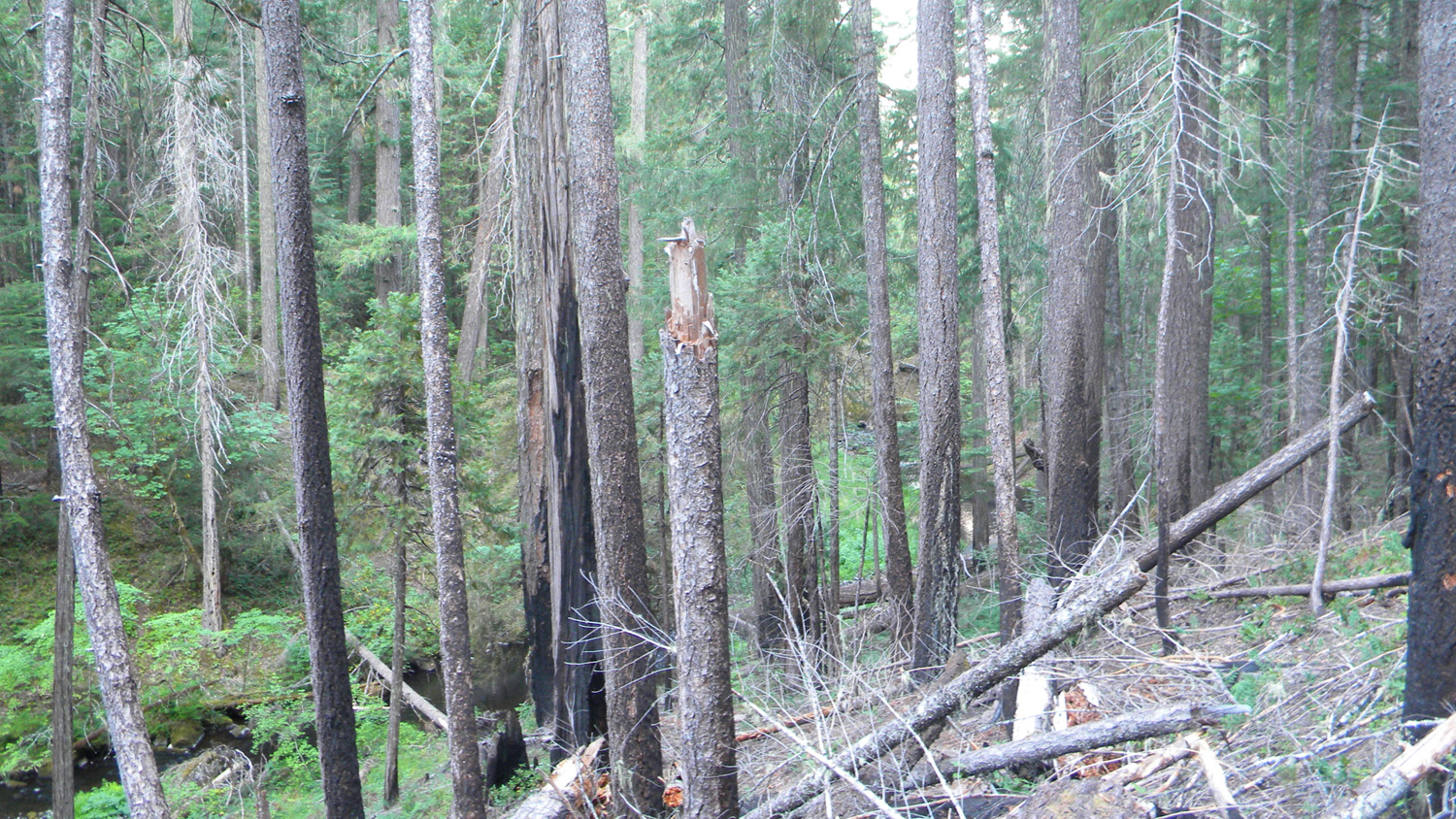
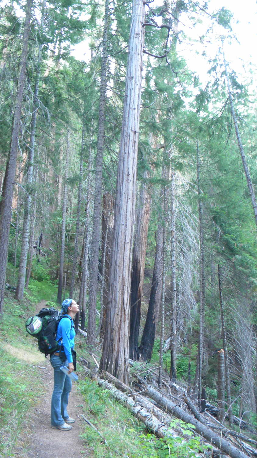
6117_Fish_Trail_Trees6119_Fish_Lake_Creek6120_Fish_Trail_Burn6121_Fish_Trail_View6122_Fish_Trail_Trees
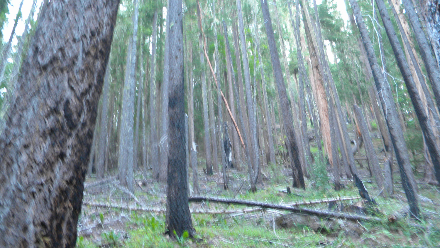
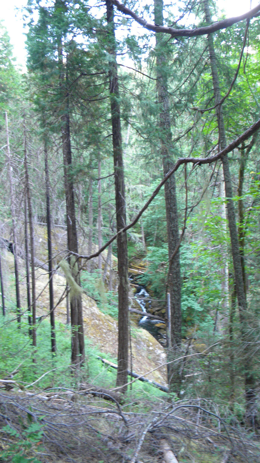
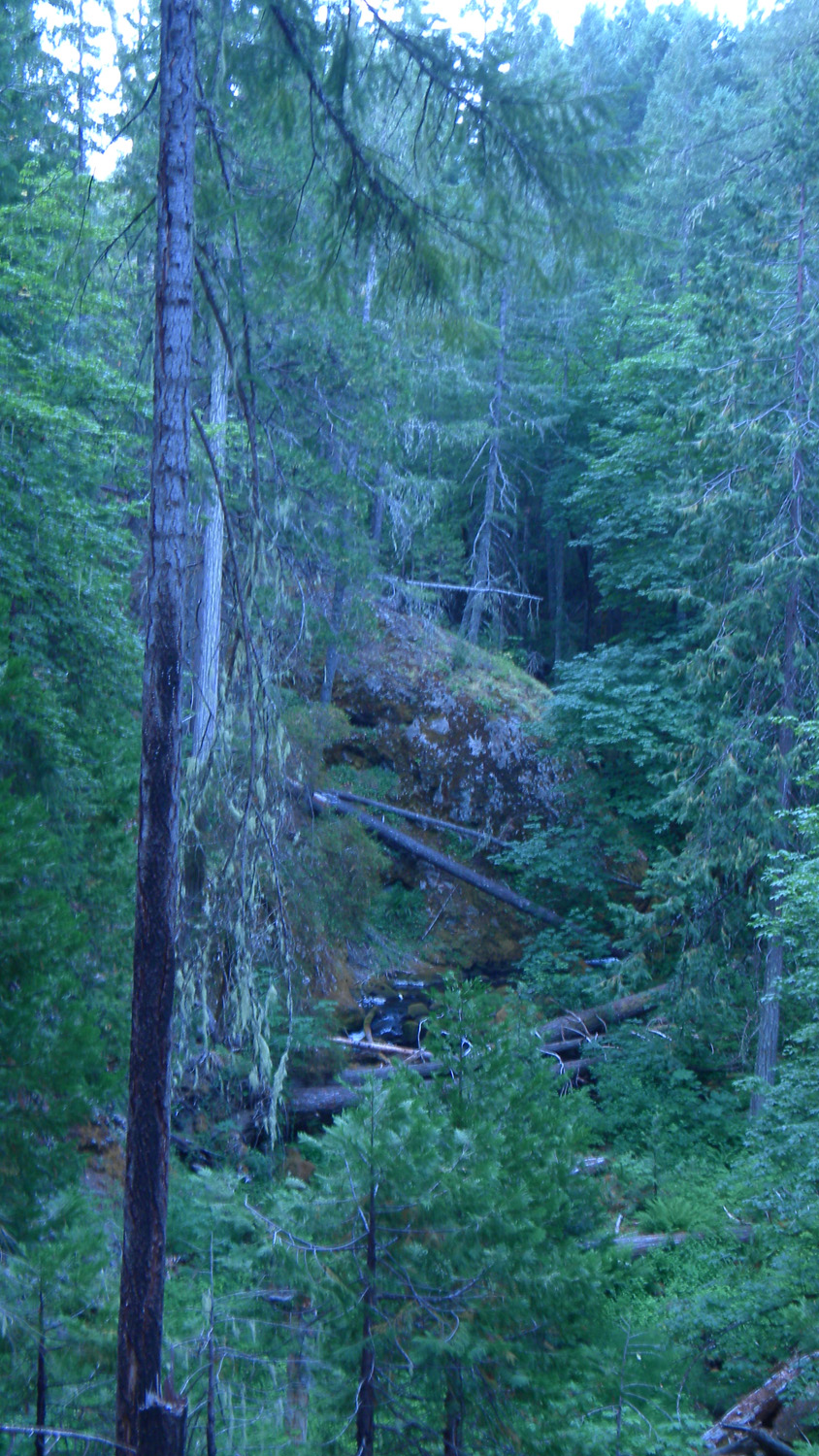
6123_Burn6124_Fish_Lake_Creek6126_Fish_Lake6127_Fish_Lake6128_Fish_Lake
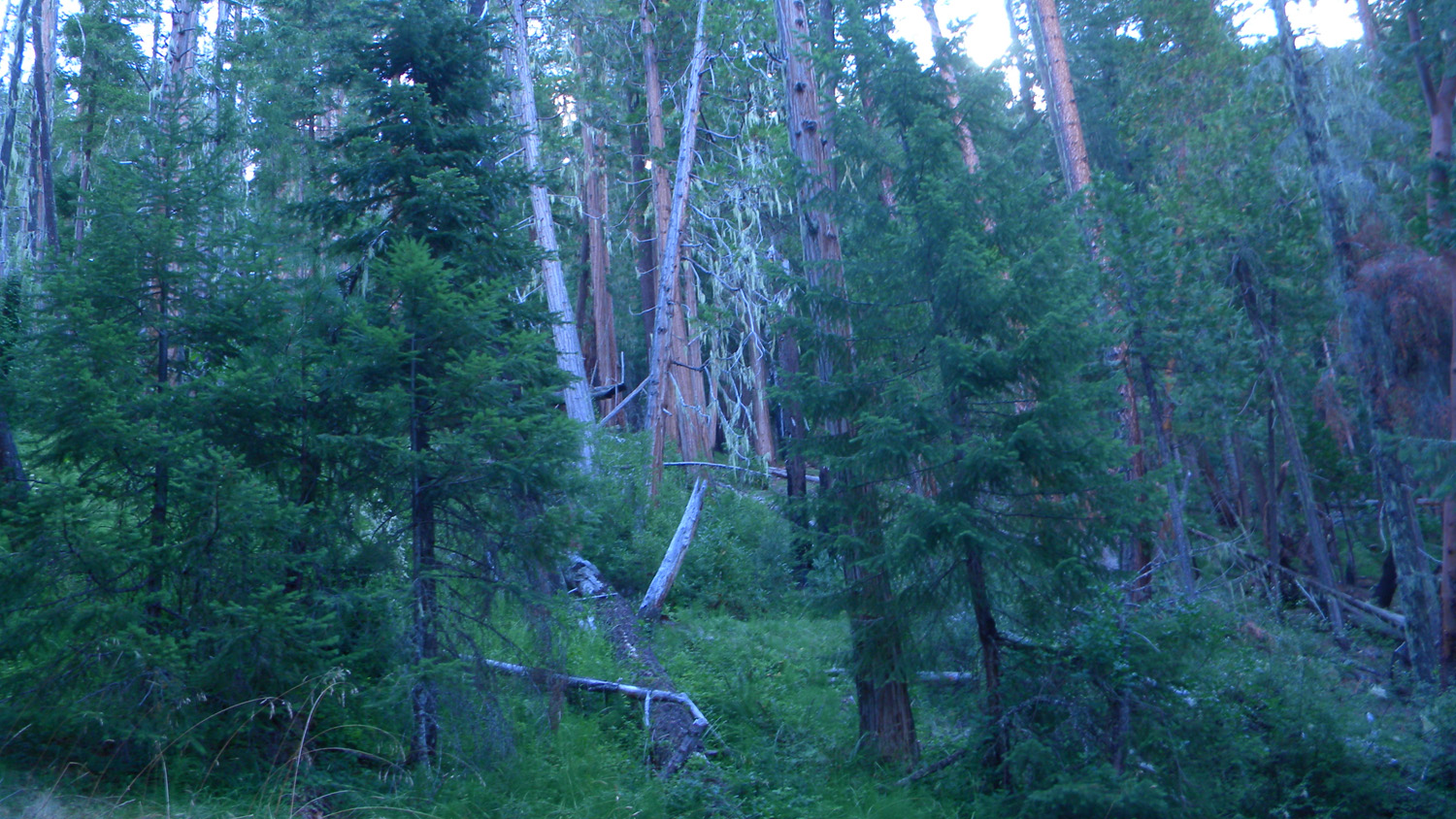
6129_Big_Yew6130_Fish_Lake6132_Fish_Lake6134_Jackass_Mountain6140_Fish_Lake
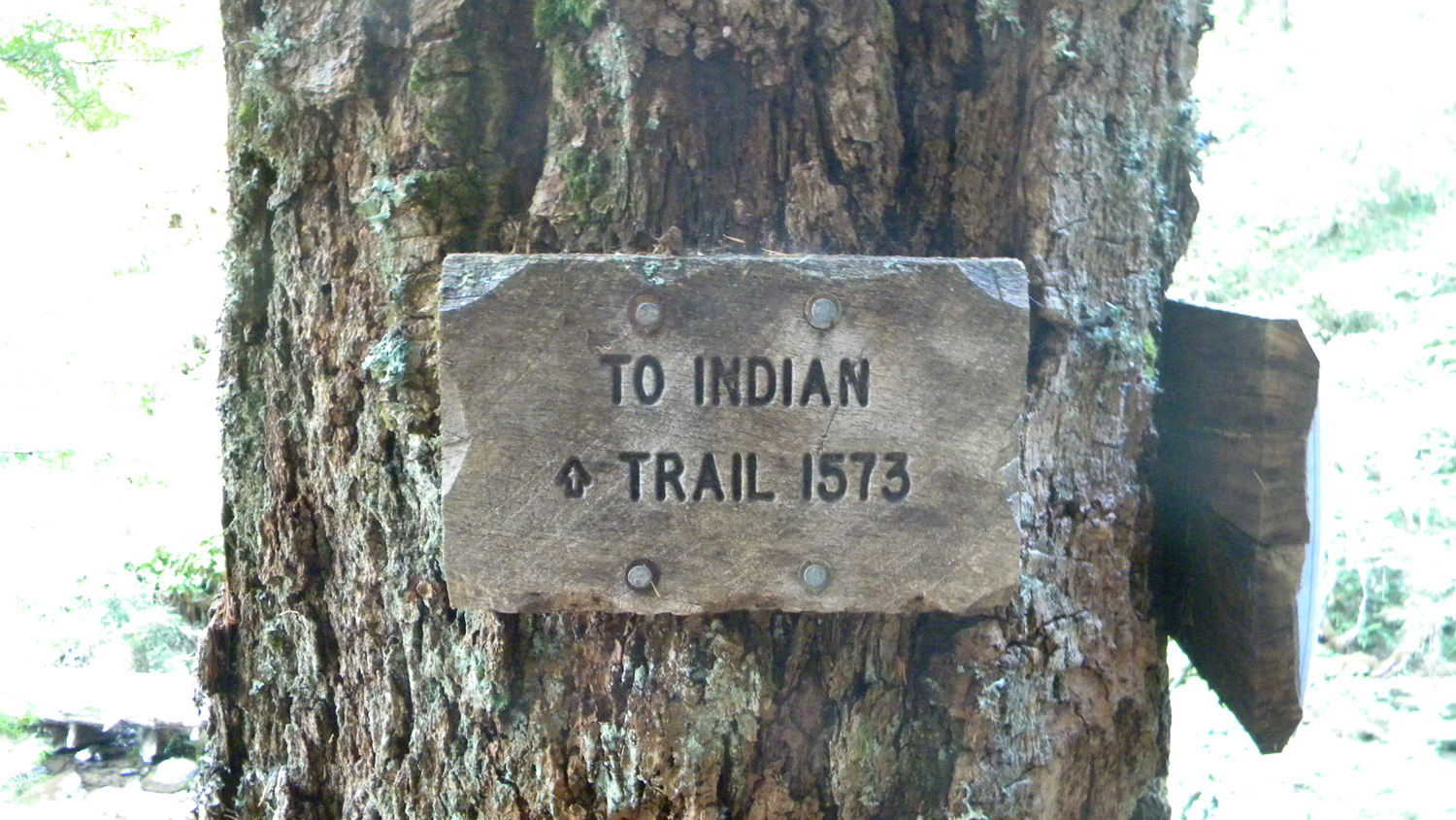
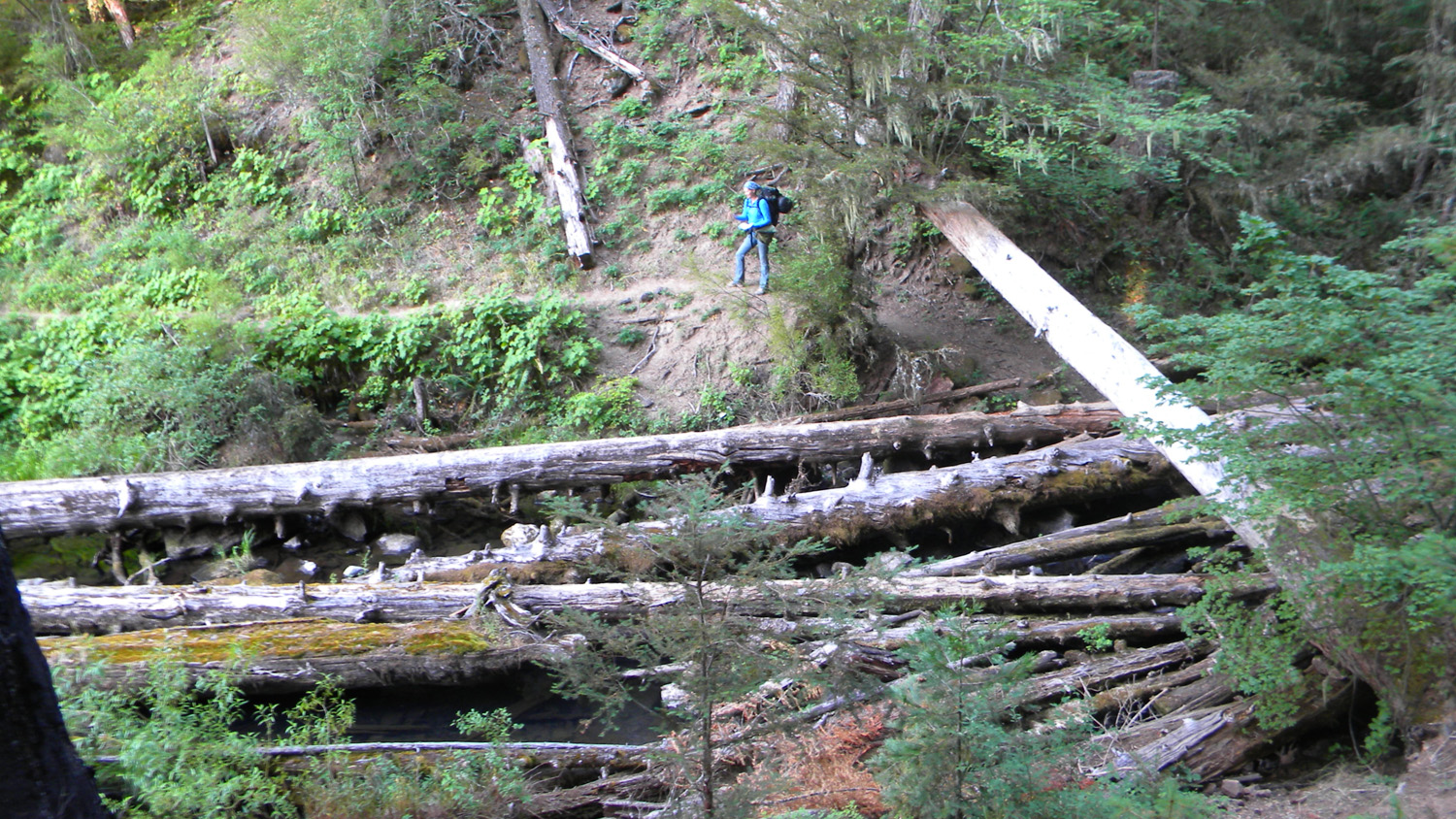
6150_Fish_Lake6157_Fish_Lake6159_Indian_Trail_Sign6160_Fish_Creek_Crossing6161_Fish_Creek_Crossing
6166_Beaver_Marsh6167_Beaver_Marsh6169_Beaver_Marsh6170_Beaver_Marsh6171_Beaver_Marsh
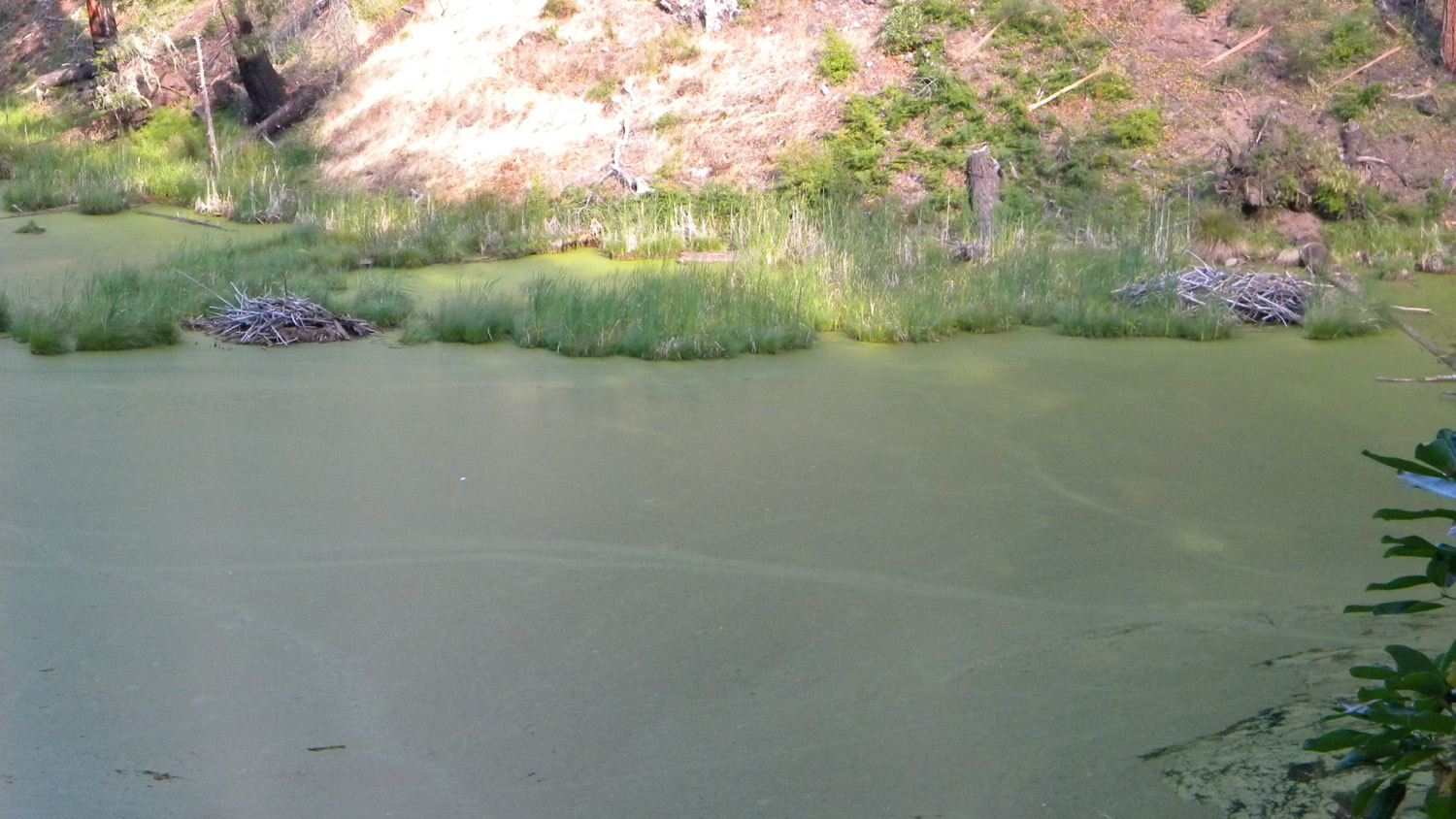
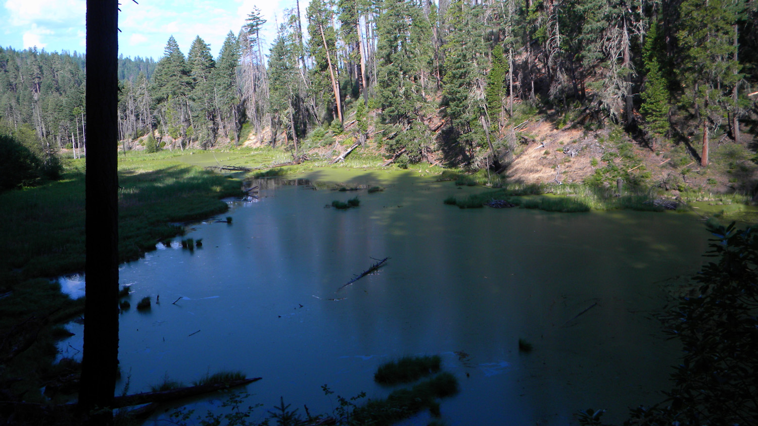
6176_Beaver_Dams6177_Beaver_Marsh6178_Beaver_Marsh