Upper South Umpqua Headwaters Precontact
Reference Study
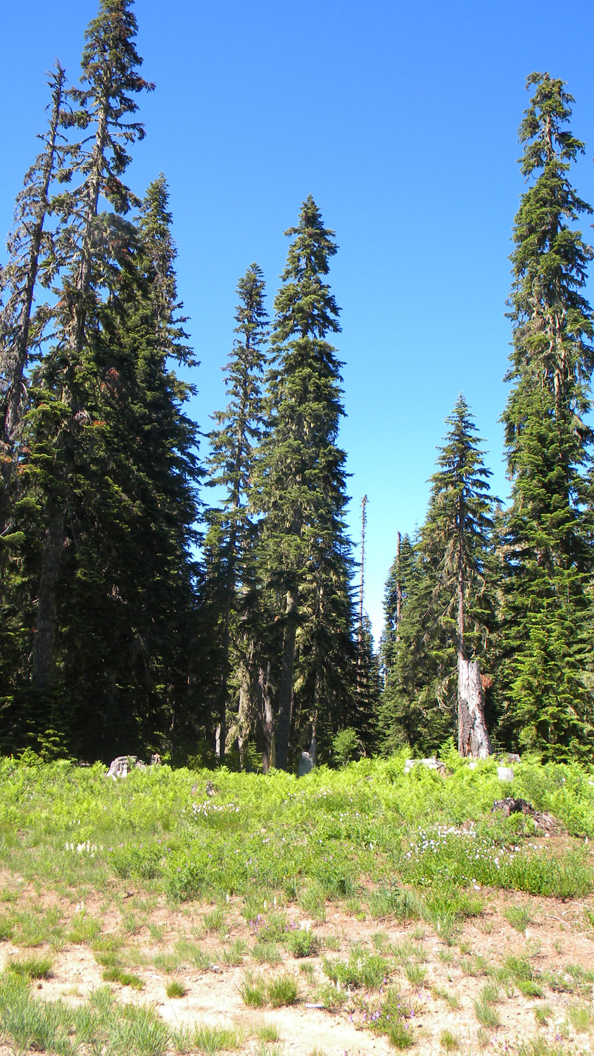
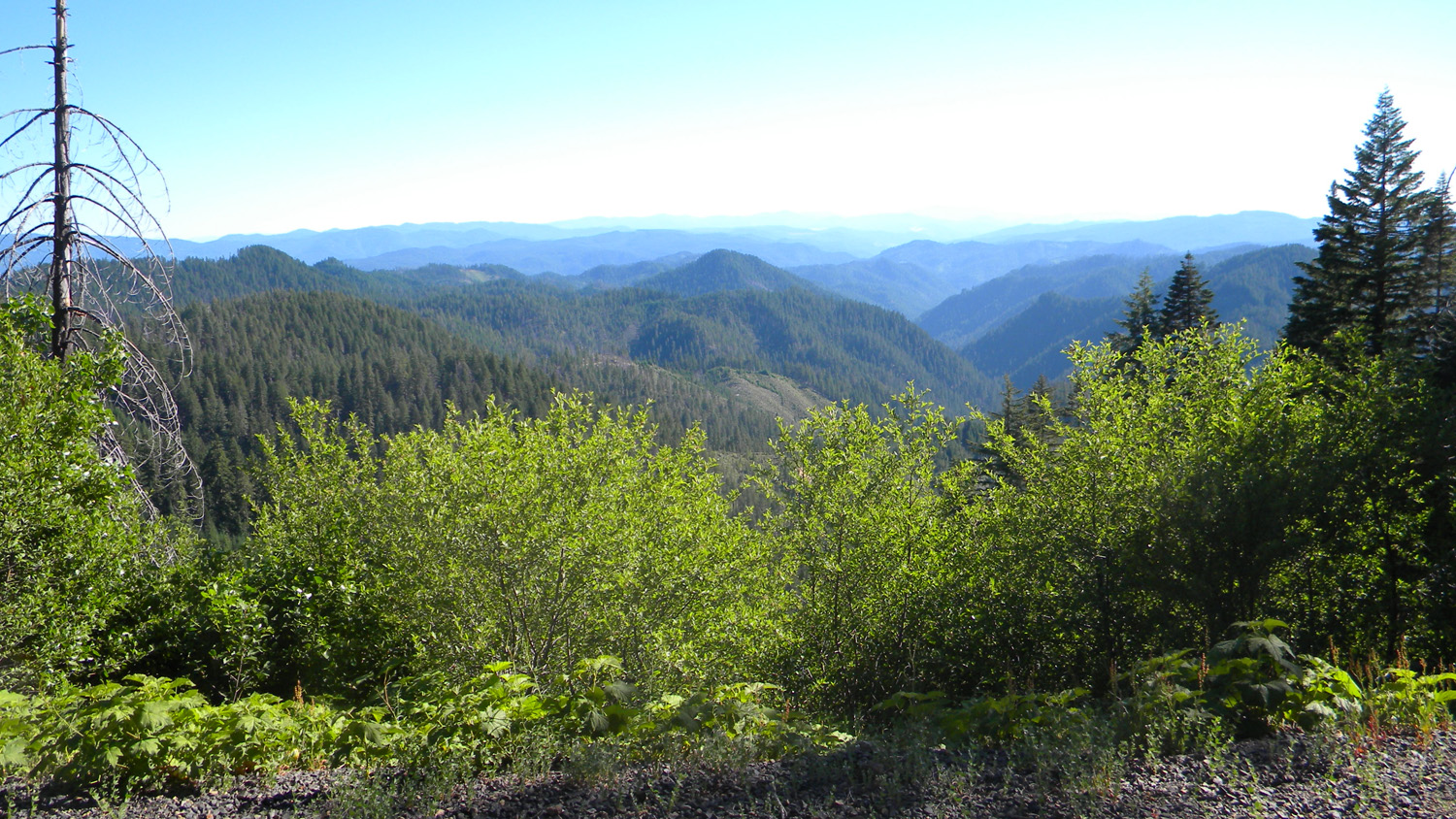
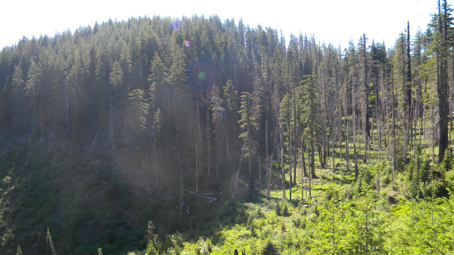
Quartz Mountain
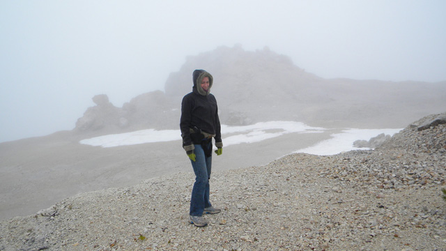
Quartz Mountain, South
Umpqua River, Douglas County, Oregon, June 2, 2010 (B.
Zybach).
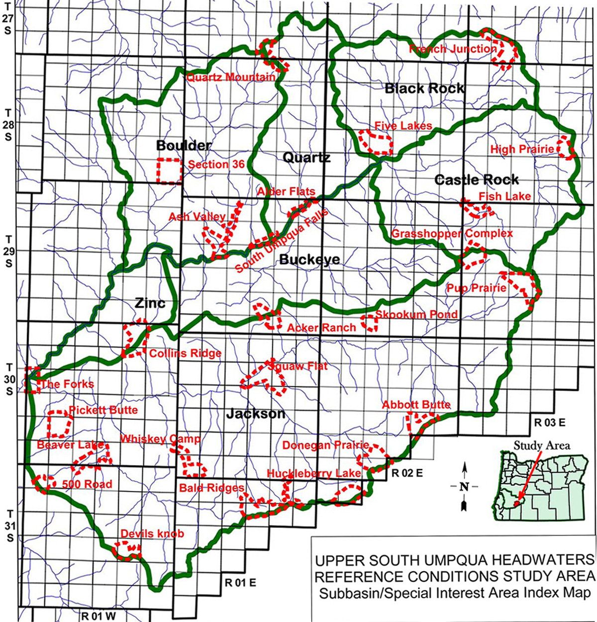
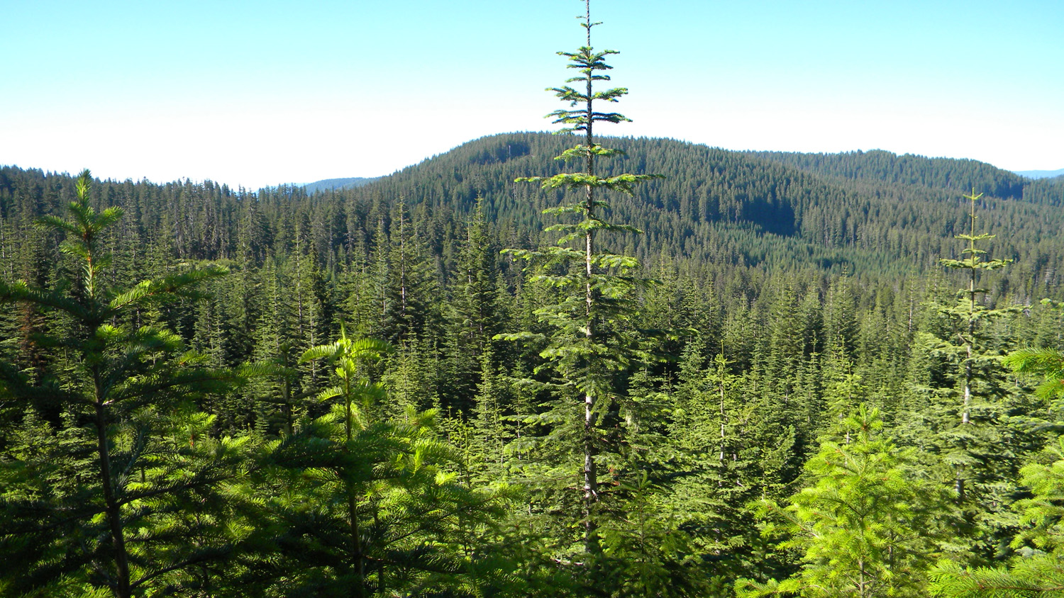
Quartz Mountain Area of Special Interest is located on the cusp between the Quartz Creek subbasin and Boulder Creek subbasin within the South
Umpqua River drainage in Tsp. 27 S., Rng. 1 E. and Tsp. 28 S., Rng. 1 E. It
contains the site of the old Quartz Mountain Lookout, which is included in the ORWW Osbornes
Project.
June 2, 2010 rain-on-snow flood event, Quartz Mountain Road descent (ORWWmedia 8:35): https://www.youtube.com/watch?v=9yqqFWrOzyA
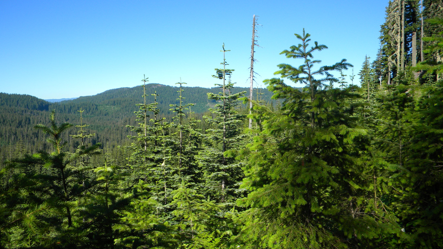
This page includes specific maps
and aerial photographs of Quartz Mountain, and individual historical
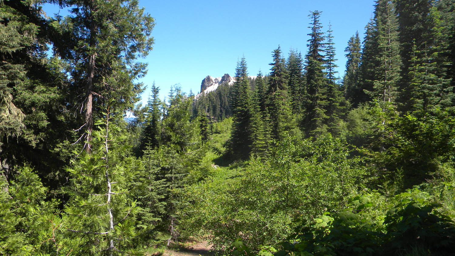
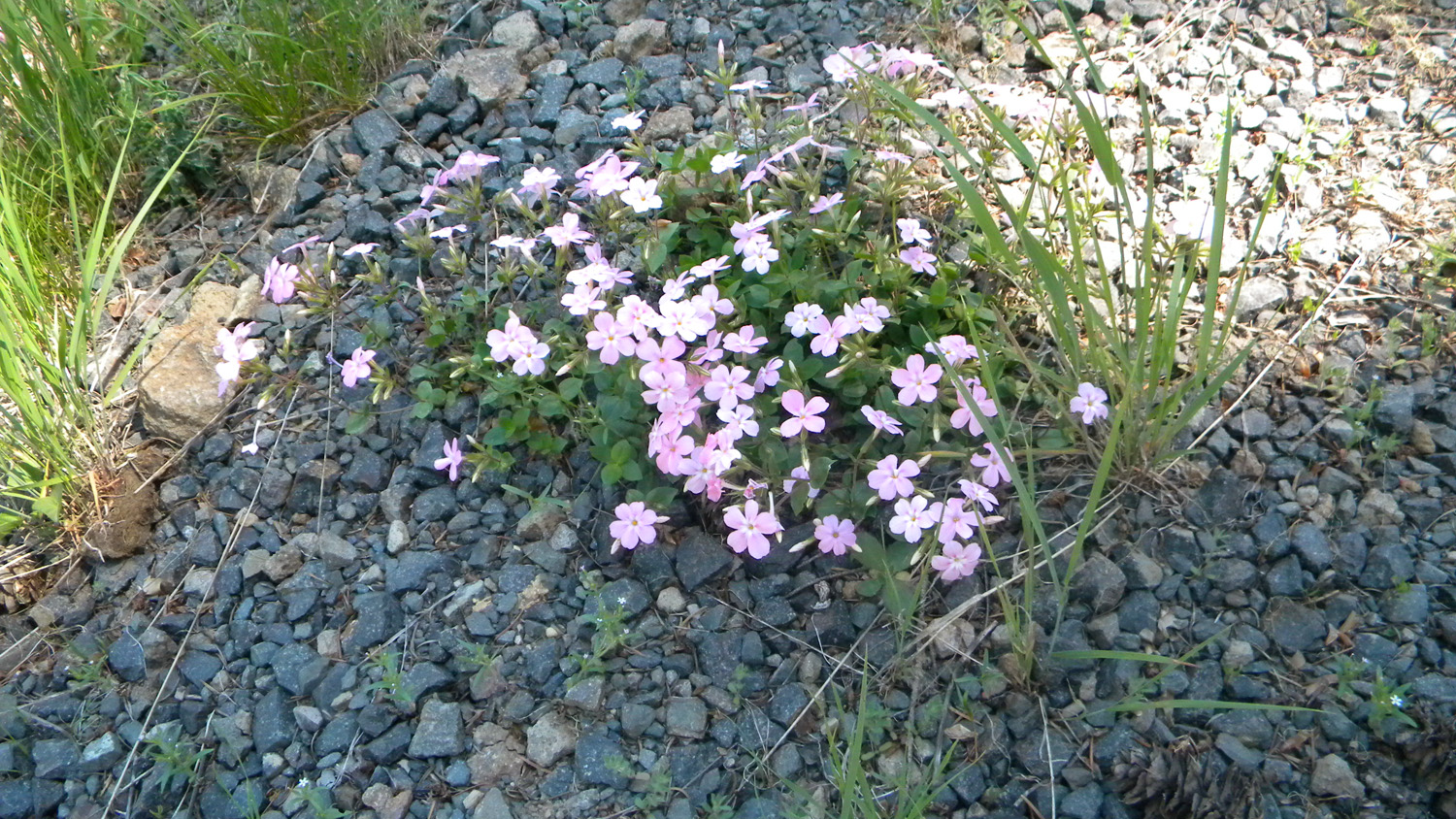
and 2010 documentary photographs showing current
condtions, native plants and animals, and other points of interest related
to this study area.
Maps and Aerial Photographs
 |
 |
 |
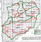
| Subbasin Index Map |
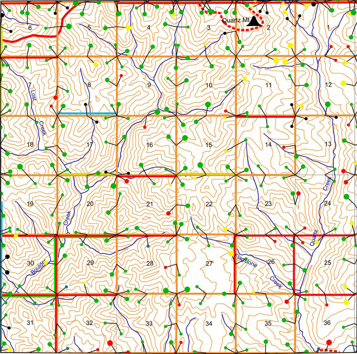
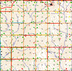
Tsp. 28 S., Rng. 1 E. |
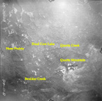
August 11, 1946
|
Photographs
|
|
|
|
|
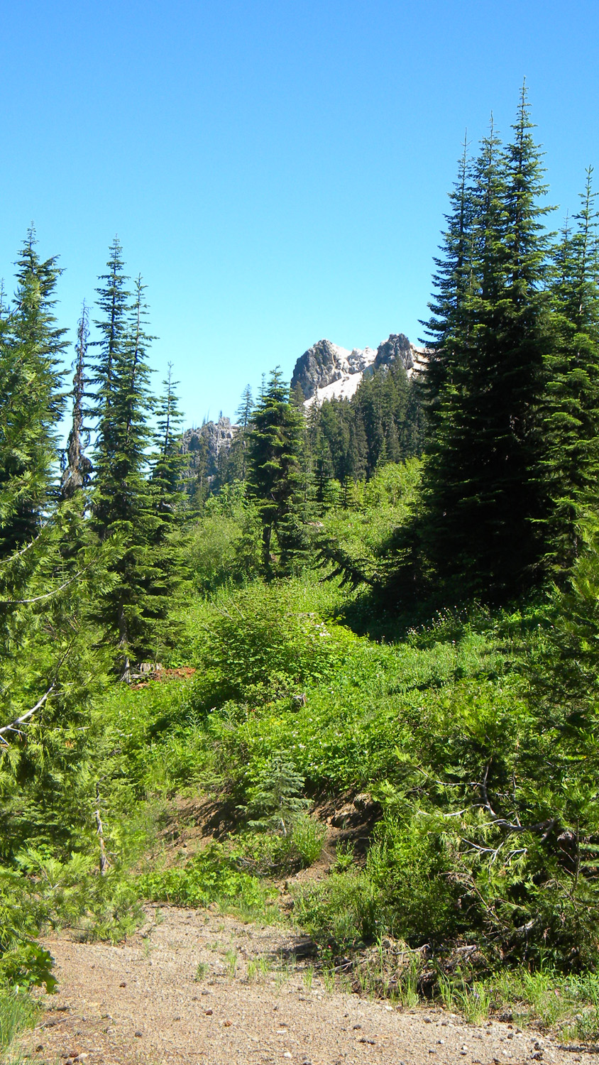
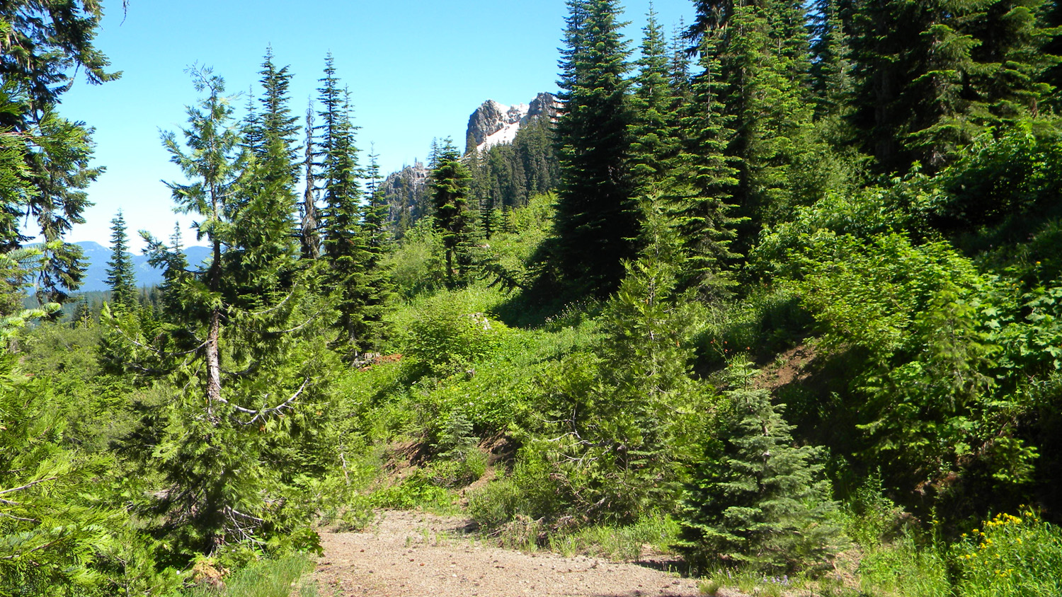
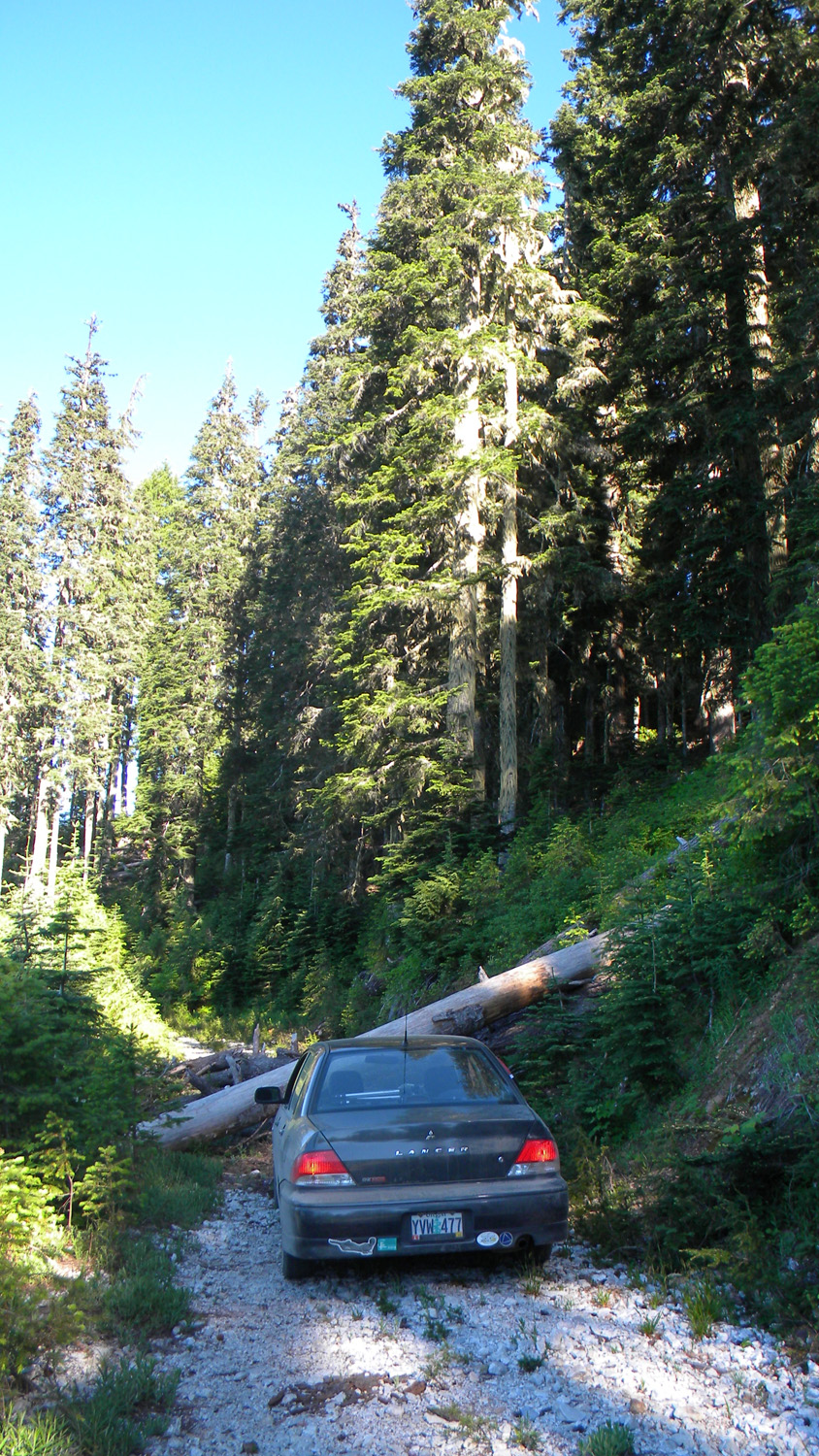
4463_27_Road_View |
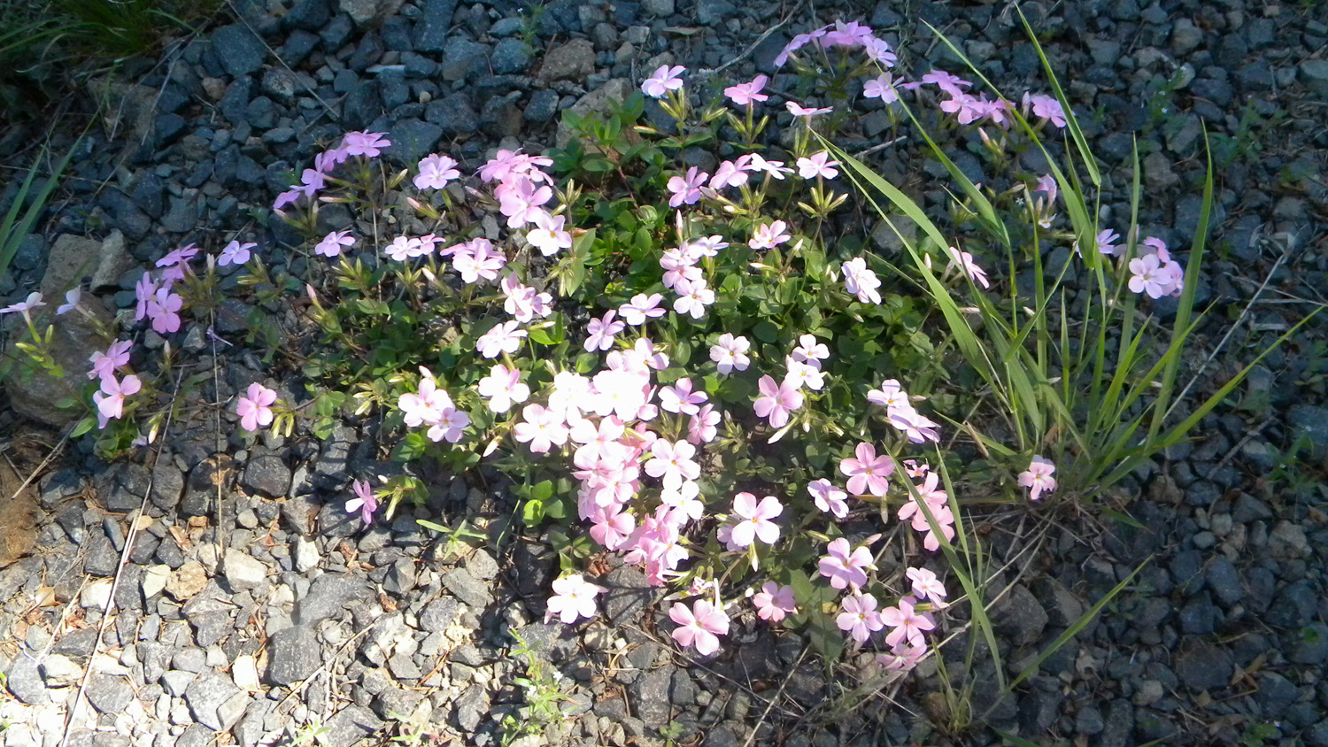
4464_Phlox_and_Rocks |
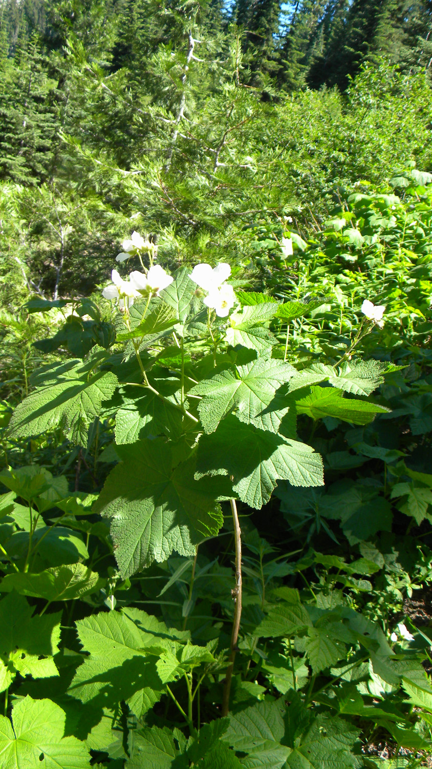
4465_Thimbelberry |
4466_625_Road_View |
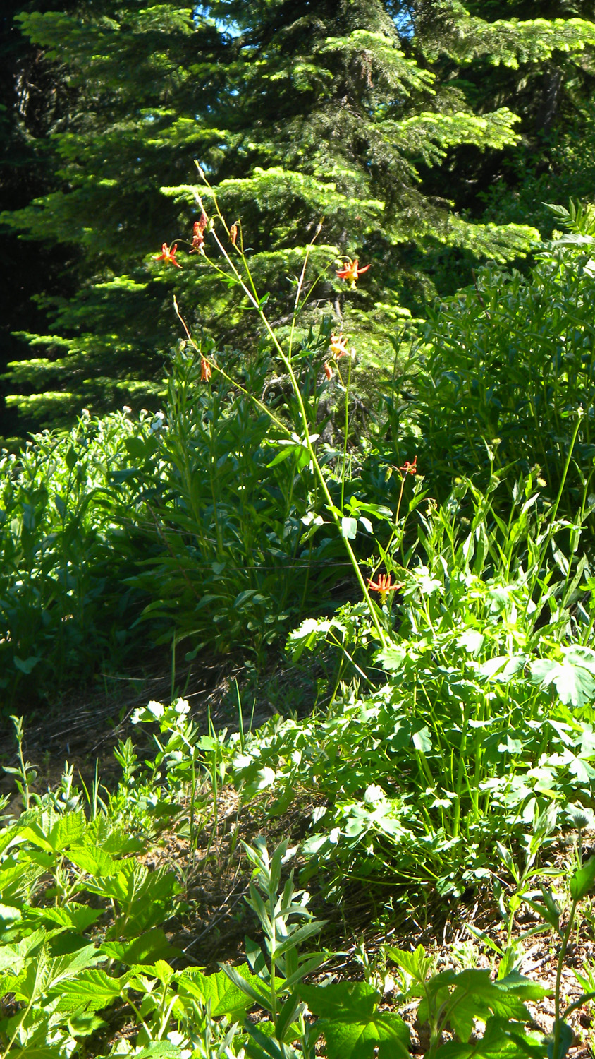
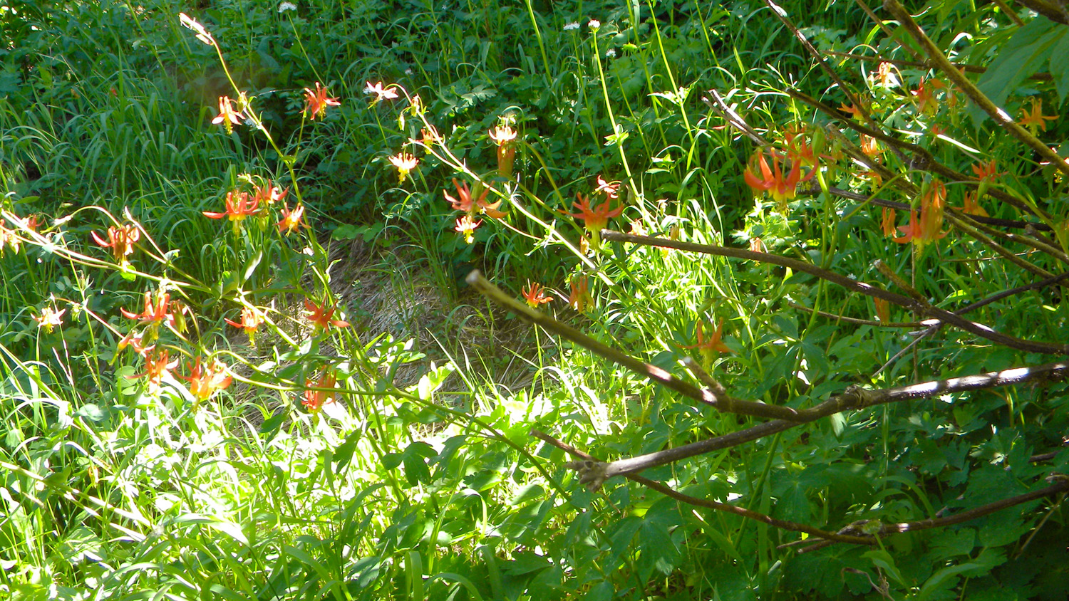
4467_Columbine |
|
|
|
|
|
4469_Columbine |
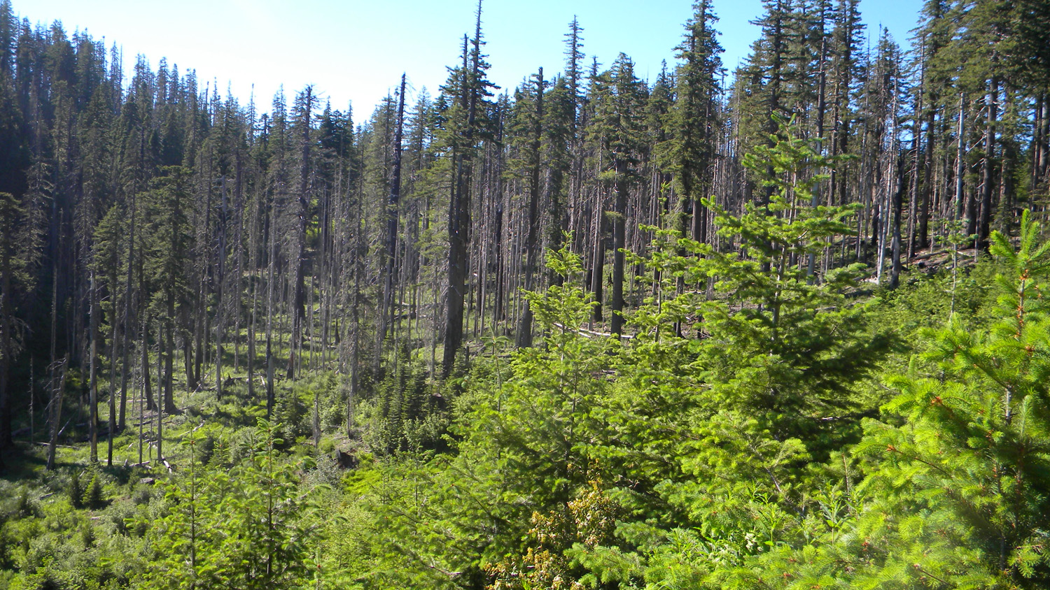
4470_625_Road_Trees |
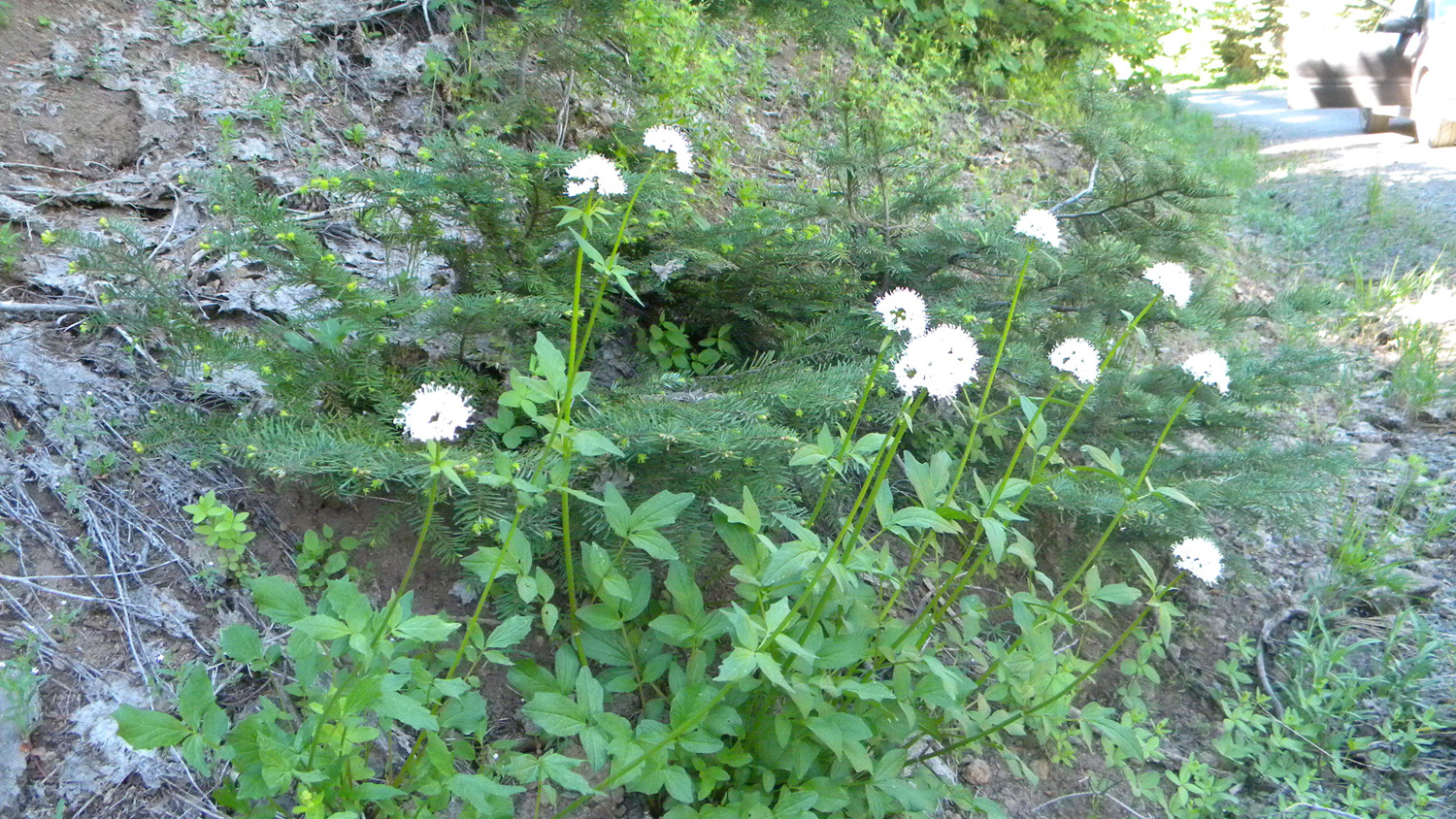
4472_False_Bugbane |
4473_Phlox_and_Rocks |
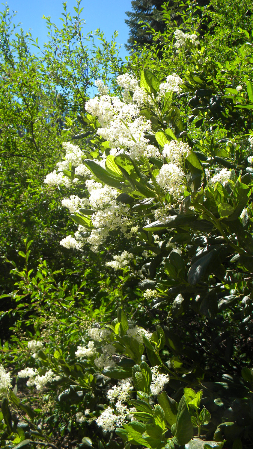
4474_Snowbrush |
|
|
|
|
|
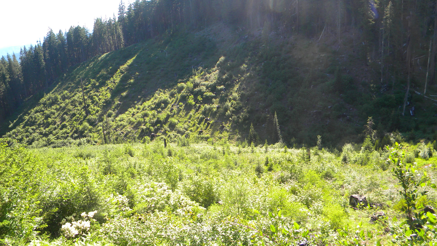
4476_625_Road_Clearcut |
4477_625_Road_Clearcut |
4478_625_Road |
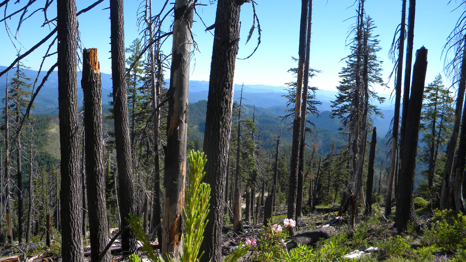
4573_Quartz_Mountain_Burn |
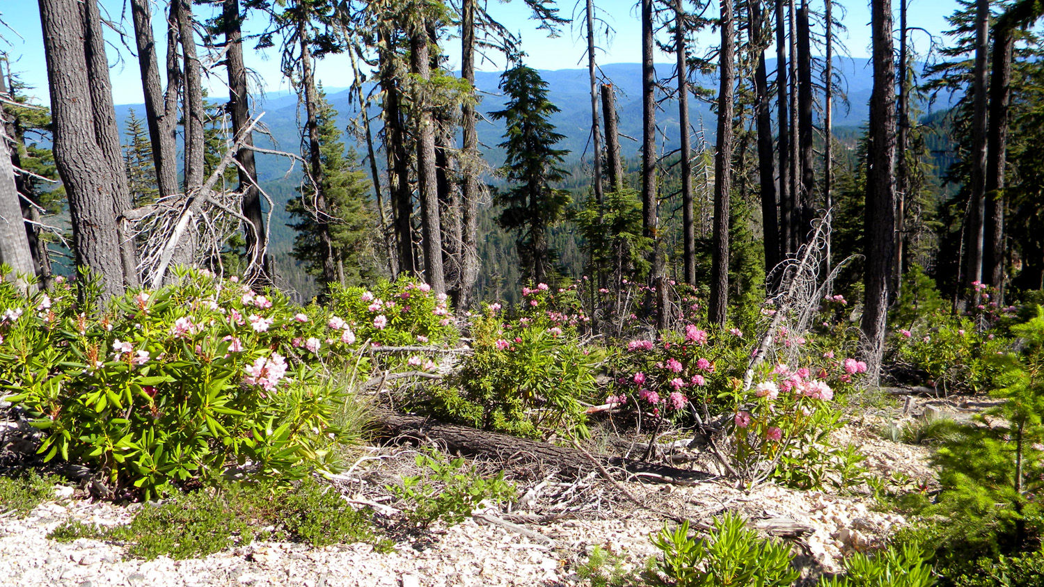
4574_Rhododendrons |
|
|
|
|
|
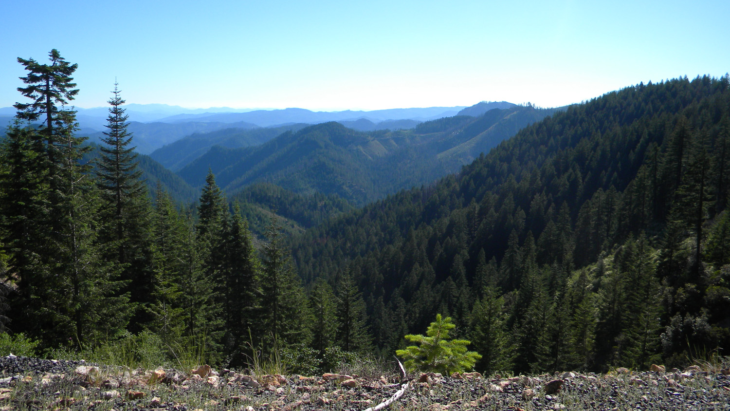
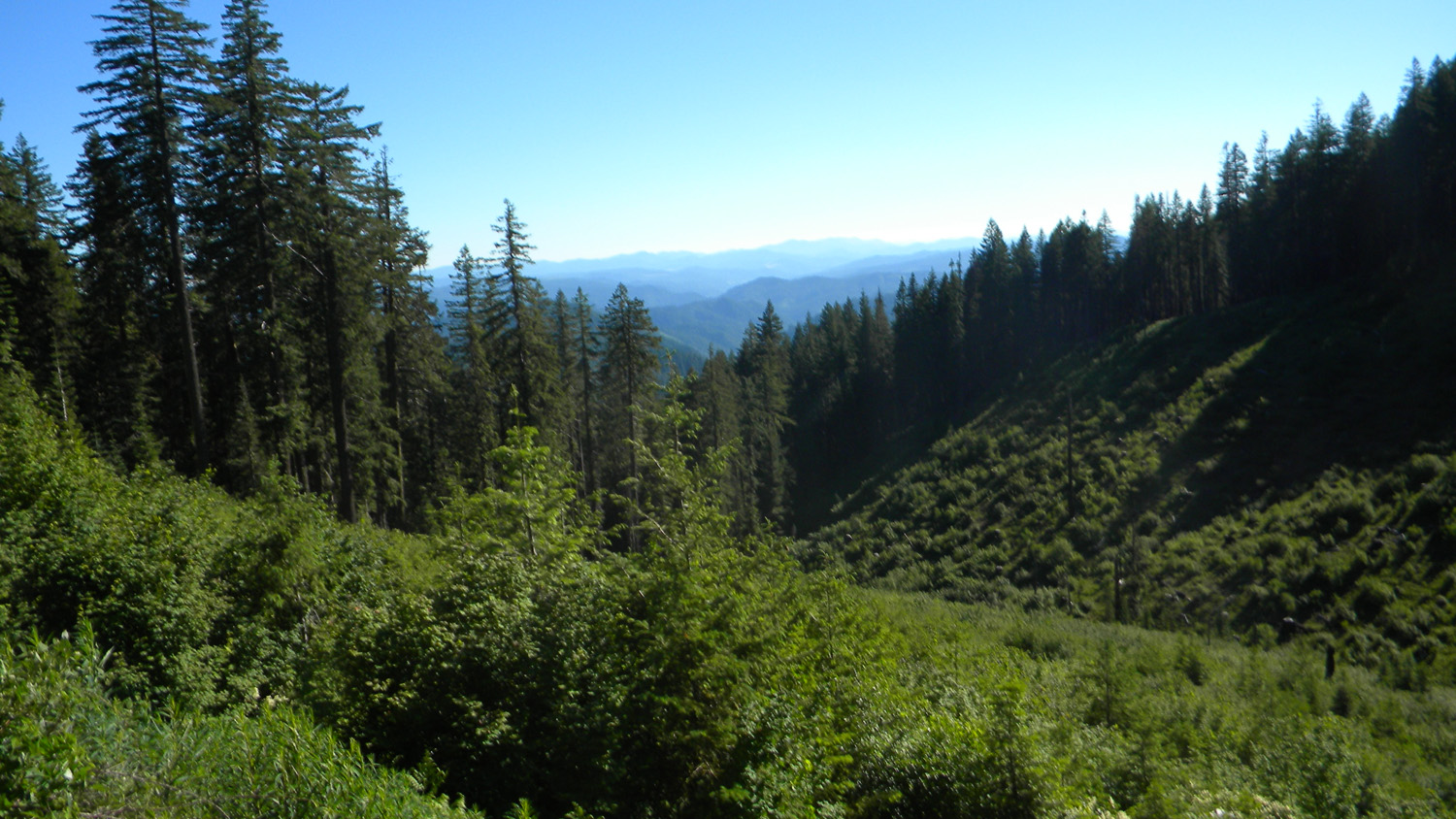
4576_27_Road_View |
4577_27_Road_View |
4578_27_Road_View |
4579_27_Road_View |
4580_27_Road_View |
|
|
|
|
|
4581_27_Road_View |
4583_611_Road_View |
4584_611_Road_Trees |
4585_611_Road_Blocked |
|