Upper South Umpqua Headwaters Precontact Reference Study
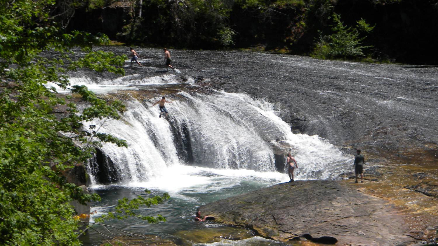
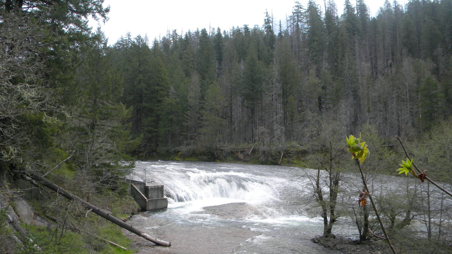
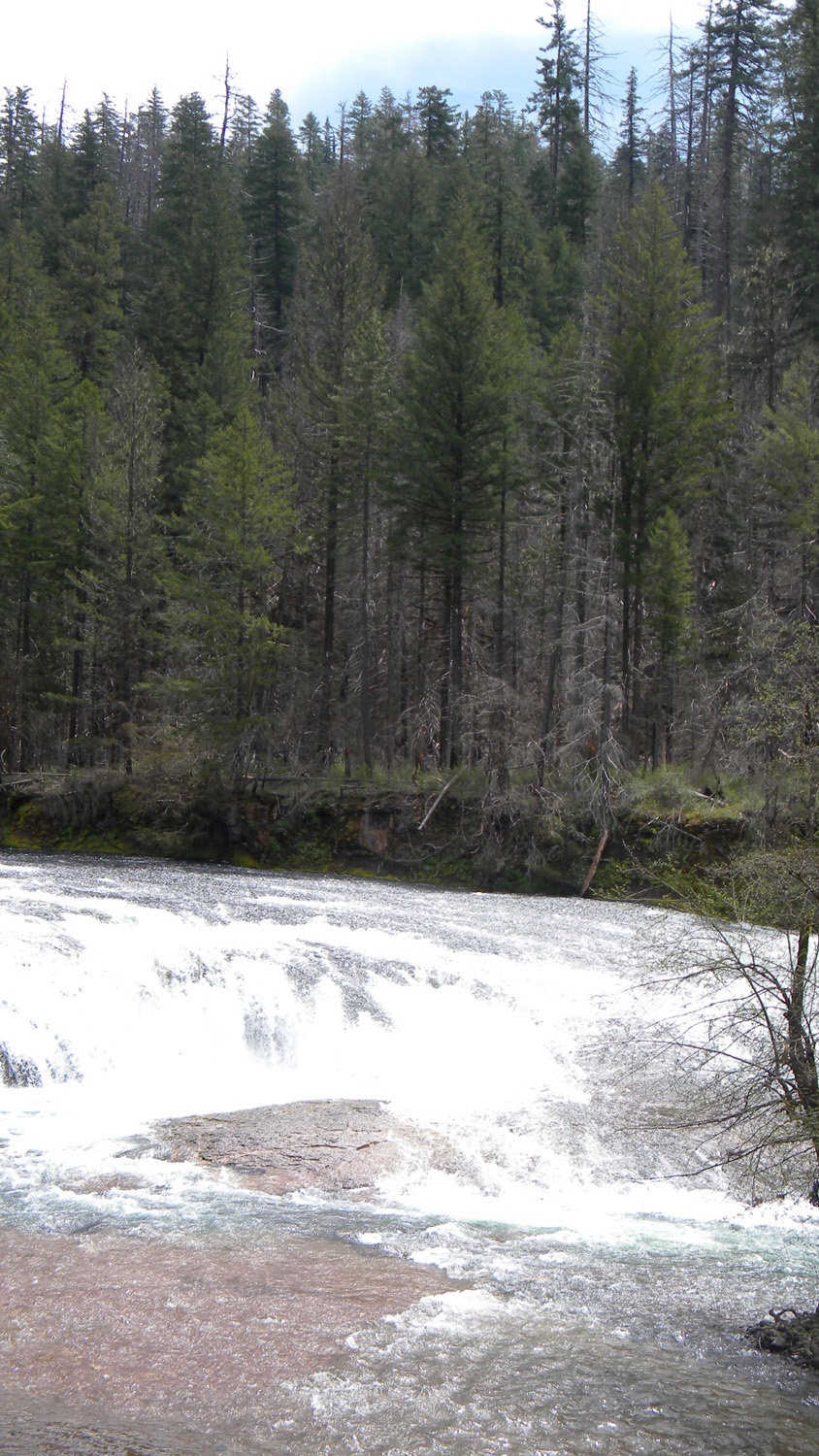
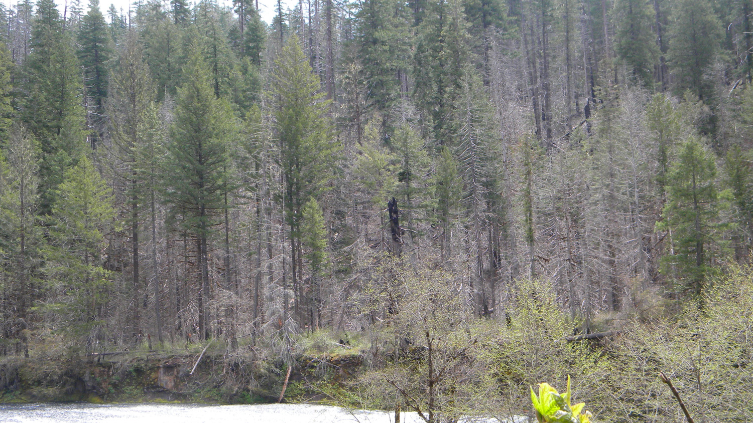
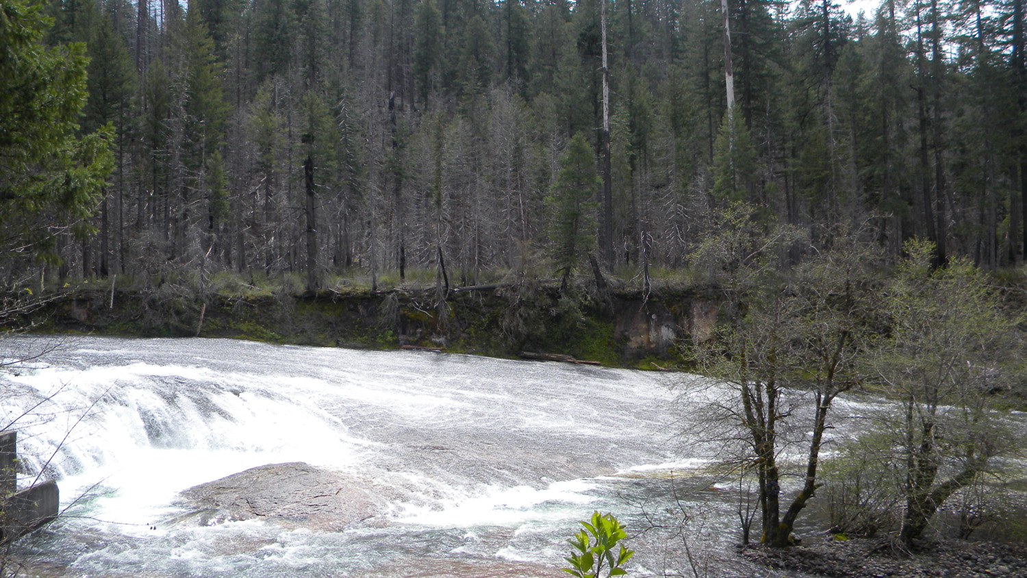
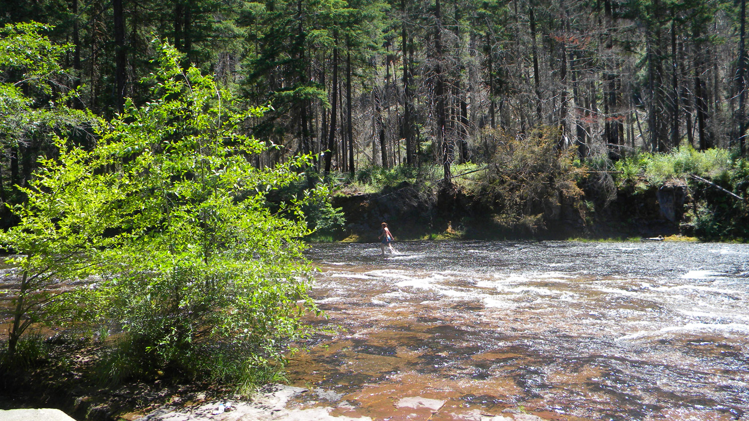
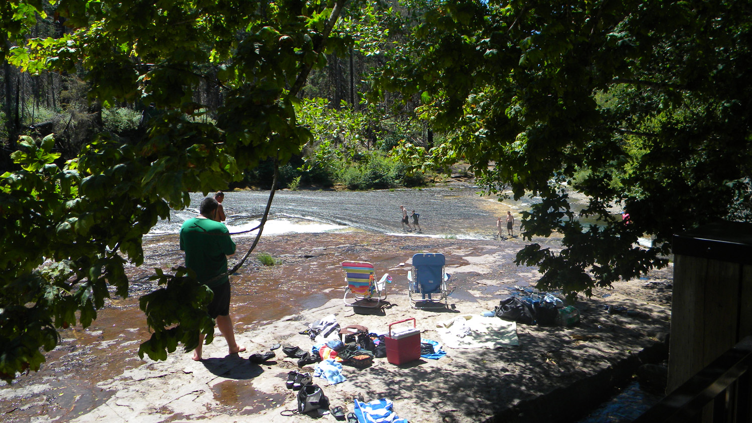
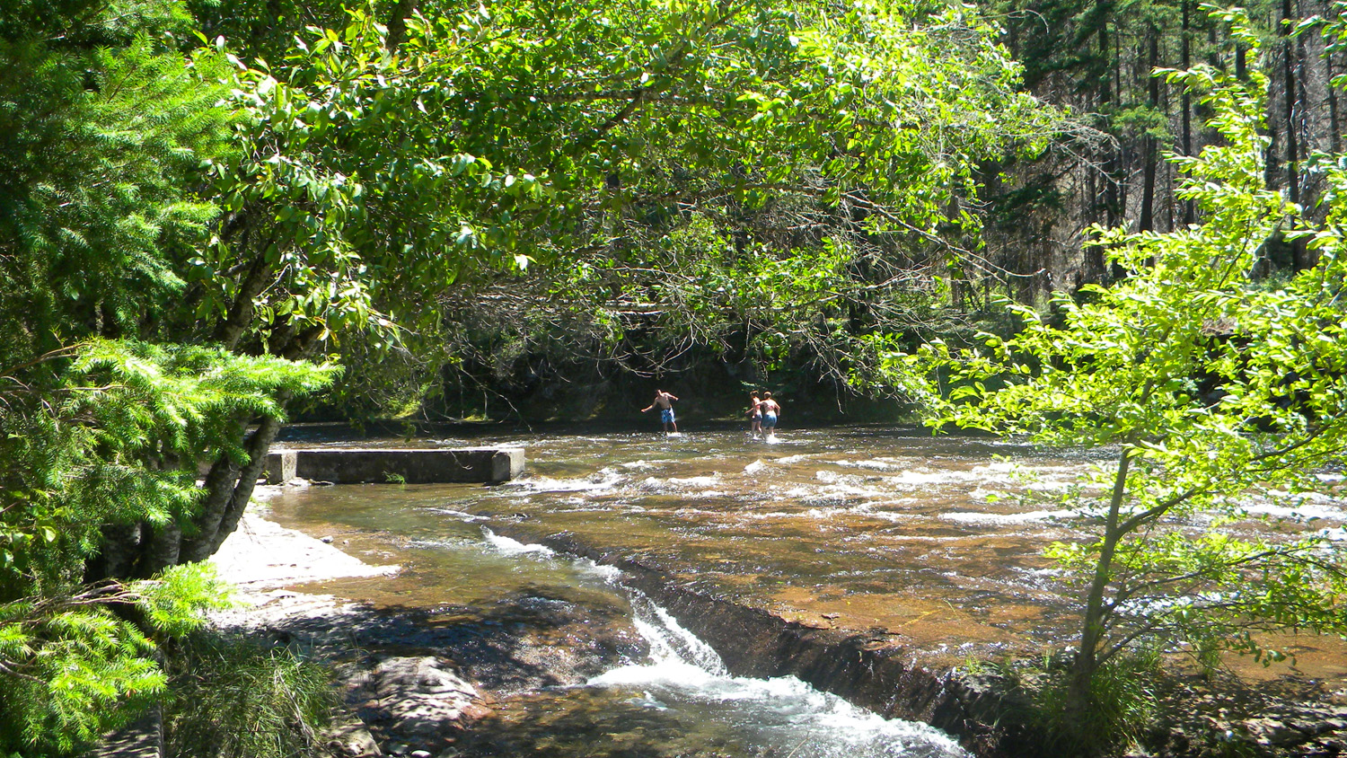
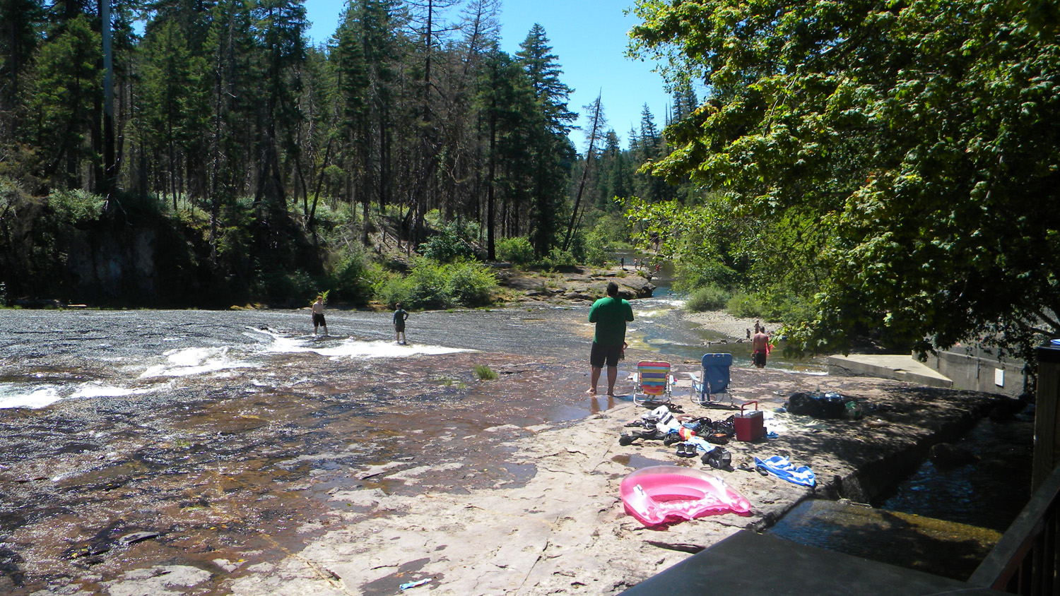
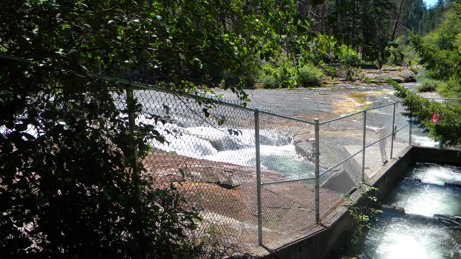
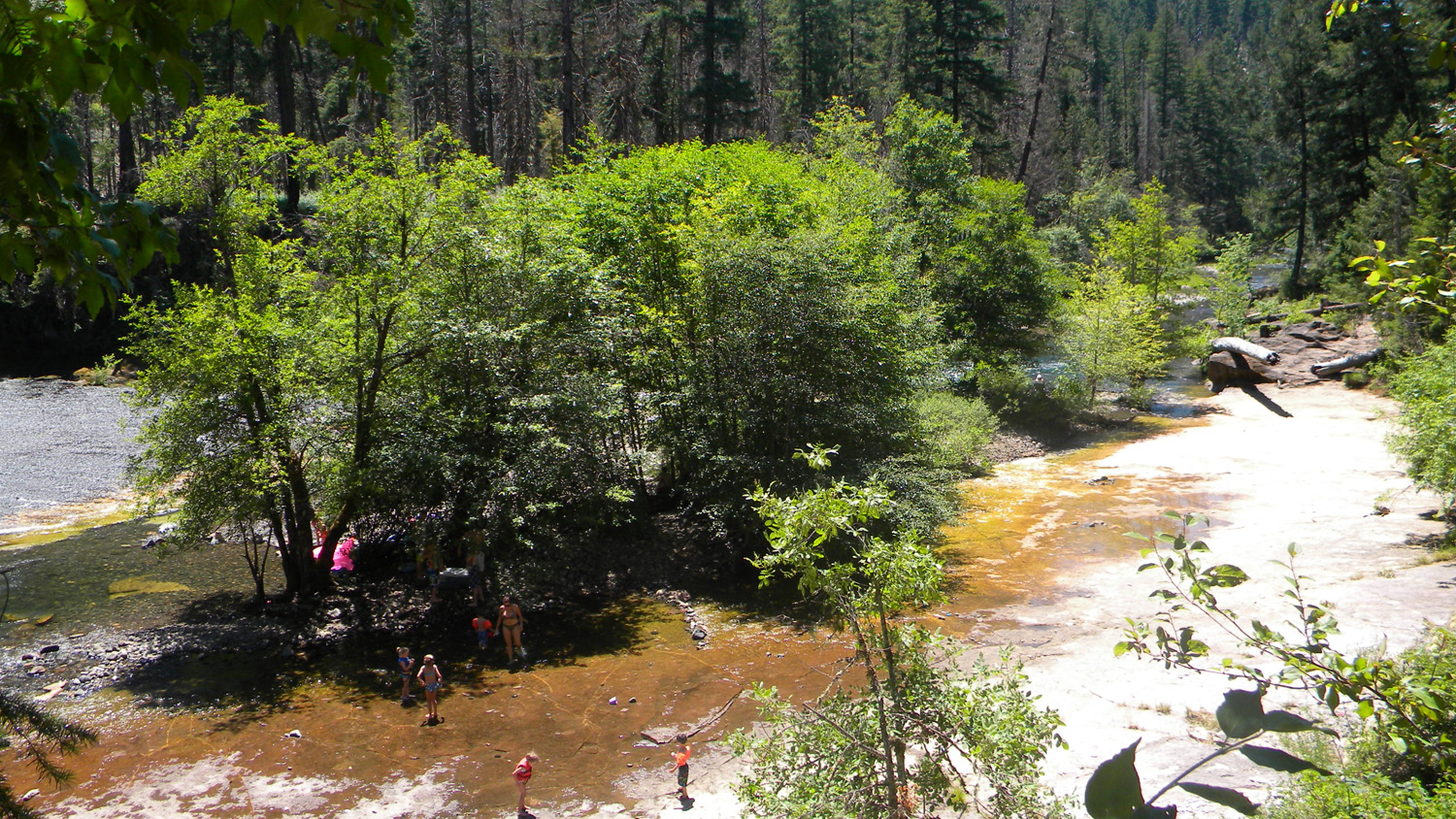
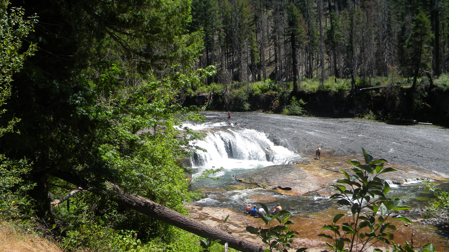
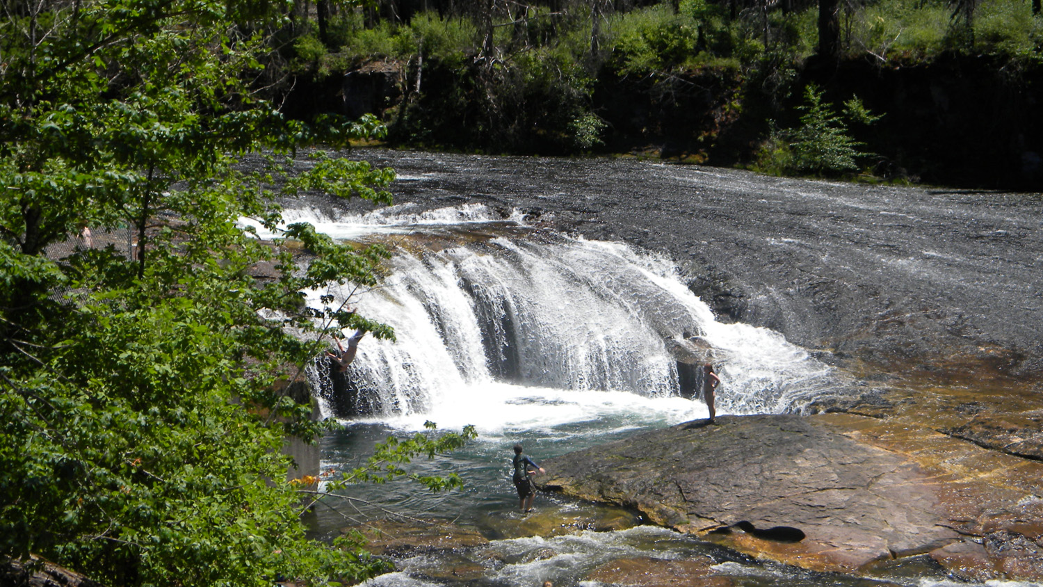
South Umpqua Falls
South Umpqua Falls, South Umpqua River, Douglas County, Oregon, July 12, 2010 (B. Zybach).
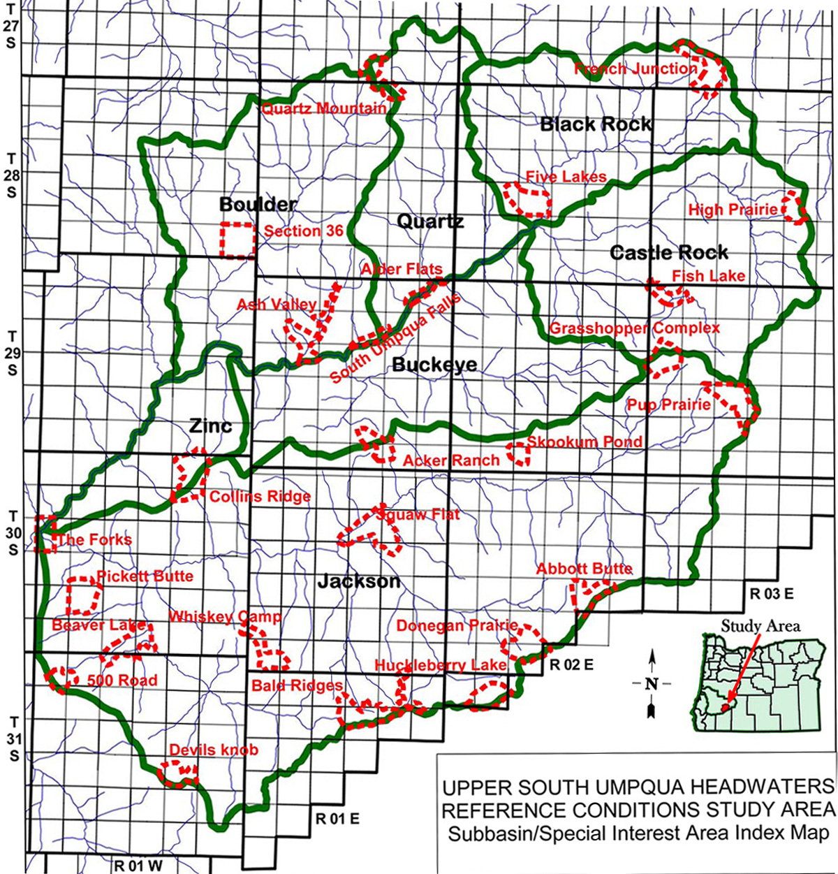
South Umpqua Falls Area of Special Interest is located at the juncture of Buckeye Creek subbasin, Quartz Creek subbasin, and Boulder Creek subbasin of the South Umpqua River drainage in Tsp. 29 S., Rng. 1 E.
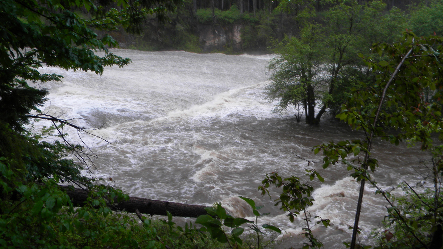
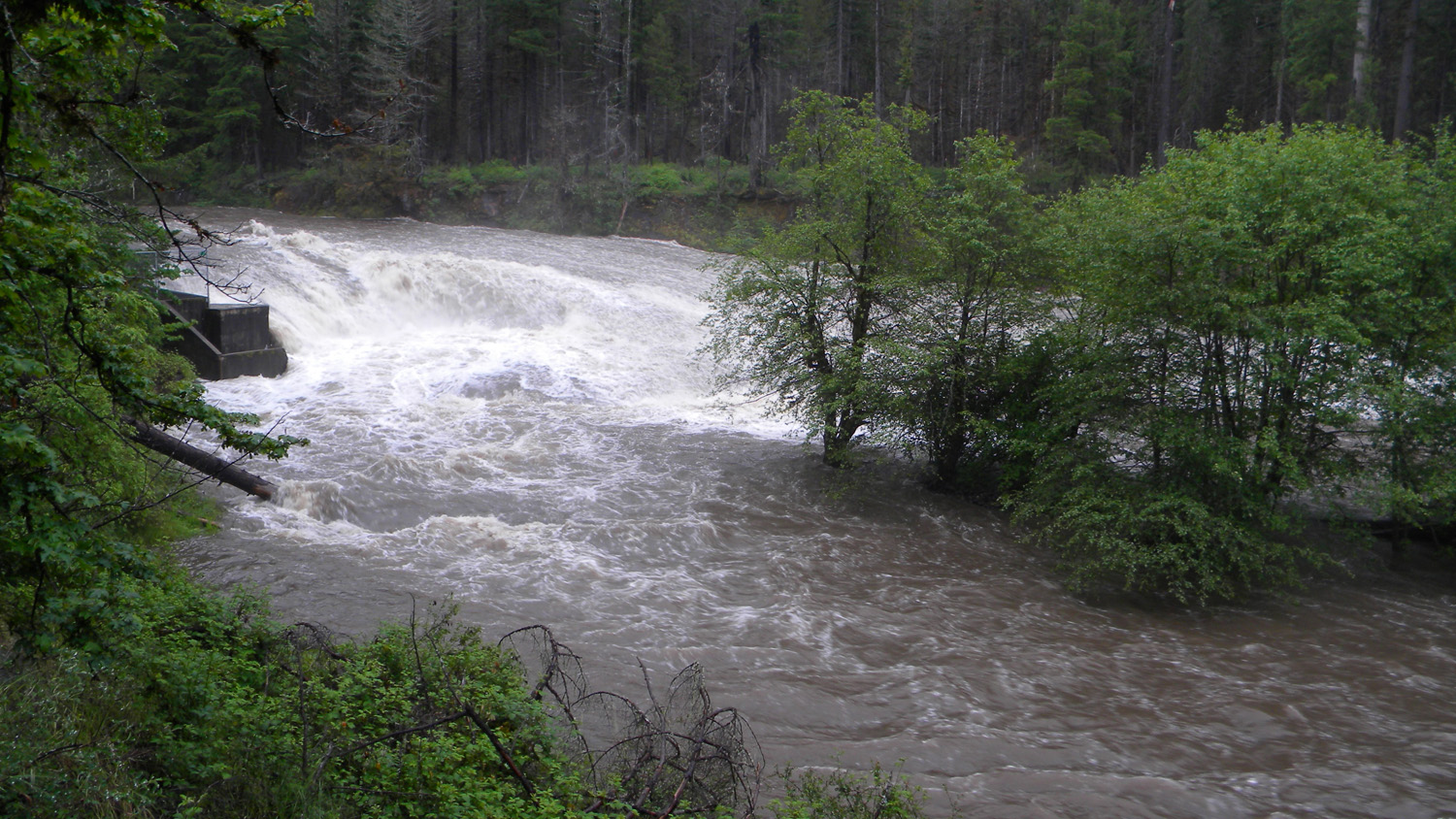
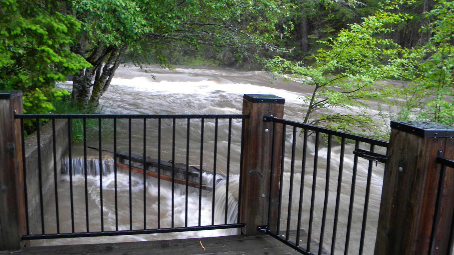
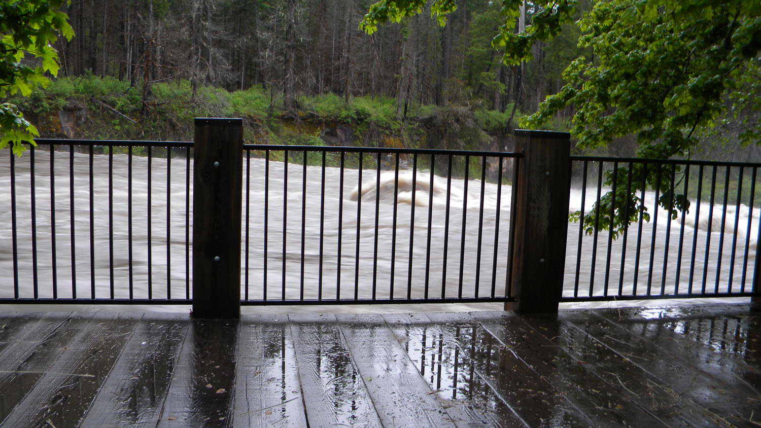
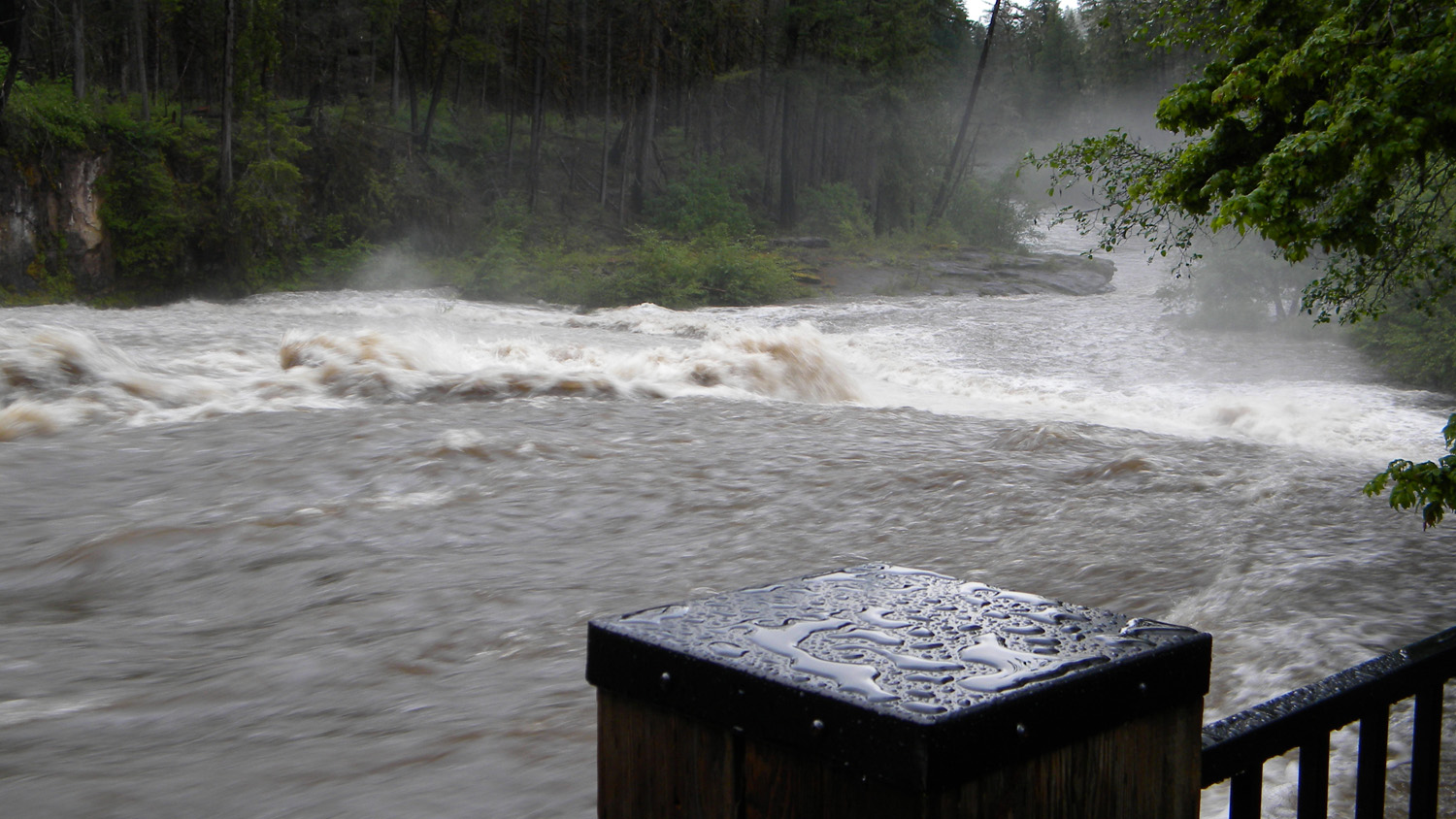
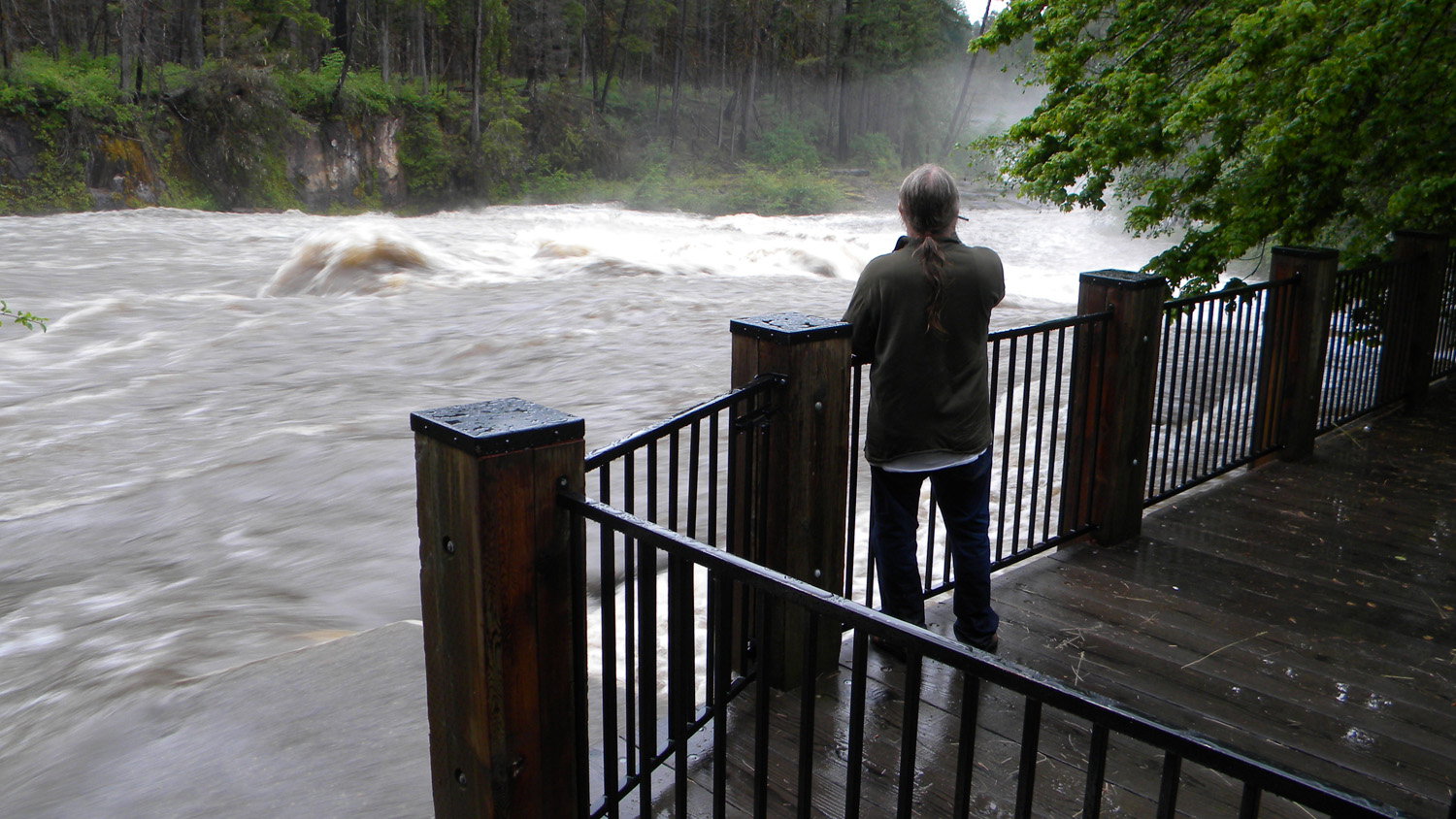
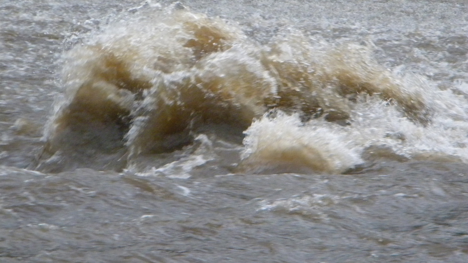
June 2, 2010 rain-on-snow flood event, South Umpqua Falls (ORWWmedia 0:00-3:35): https://www.youtube.com/watch?v=VjSKwKWnW-c&t
This page includes specific maps and aerial photographs of South Umpqua Falls, panoramas and QTVR video files constructed from the 2010 field research studies, and individual historical and 2010 documentary photographs showing current condtions, native plants and animals, and other points of interest related to this study area.
 |
 |
|
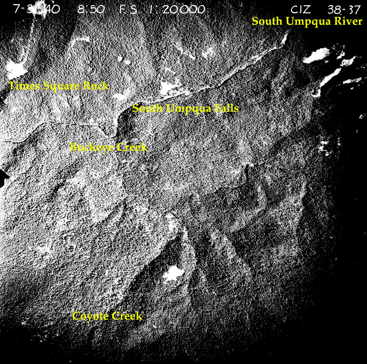
| Subbasin Index Map | Tsp. 29 S., Rng. 1 E. | July 31, 1940 |
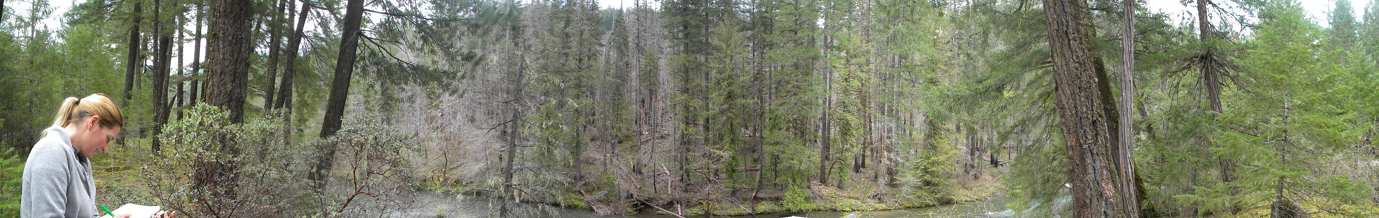
Panoramas and QTVRs
 |
 |
 |
 |
 |
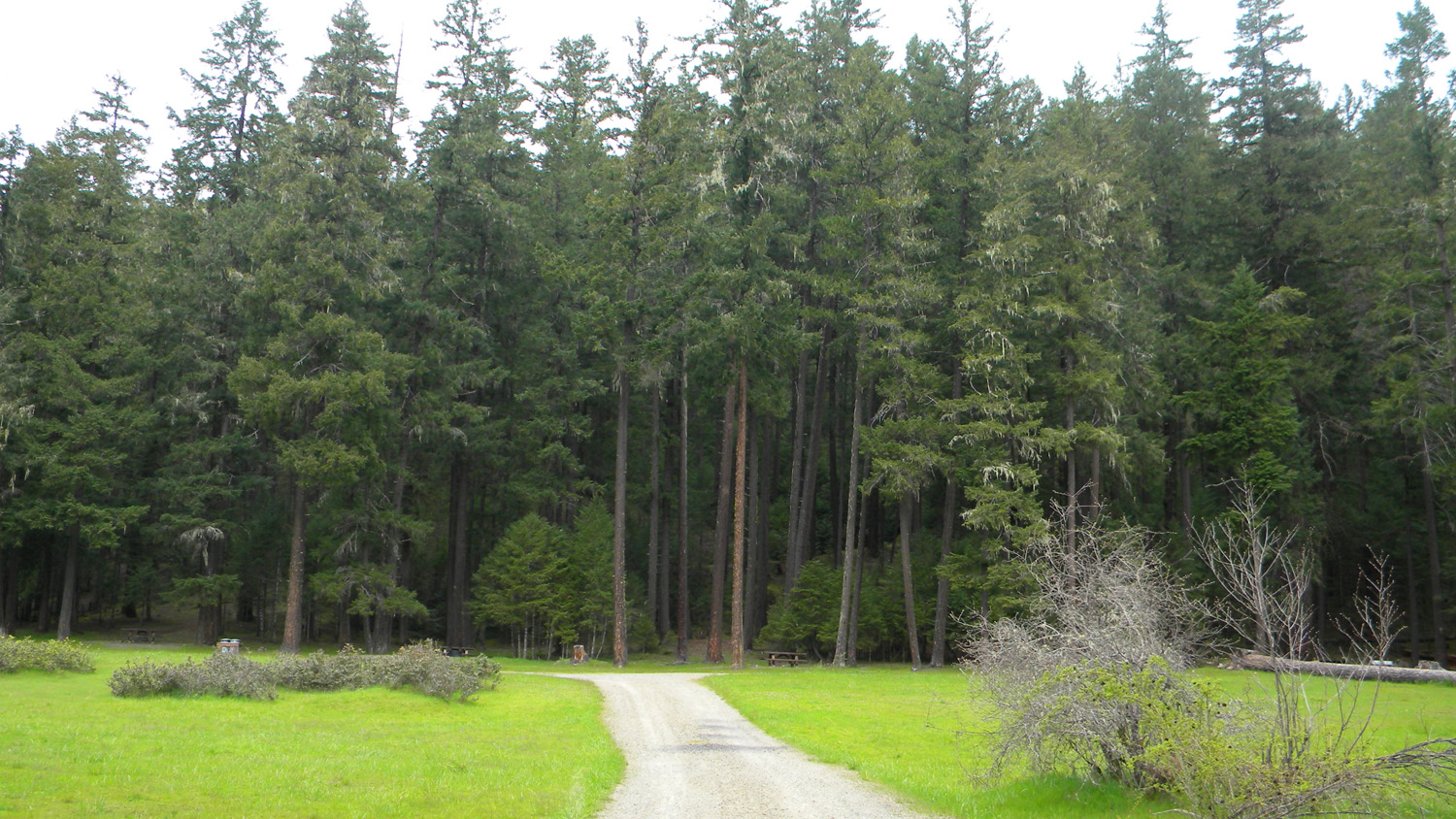
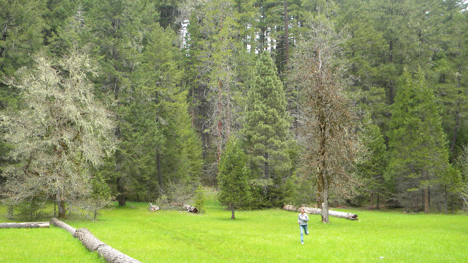
1324_South_Umpqua_Campground |
1335_Wildfire |
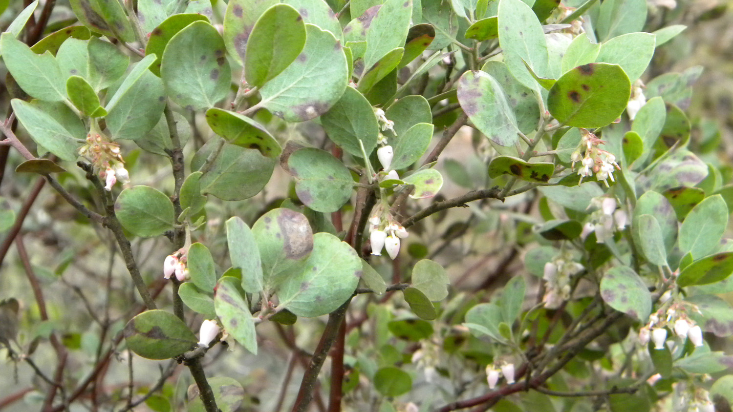
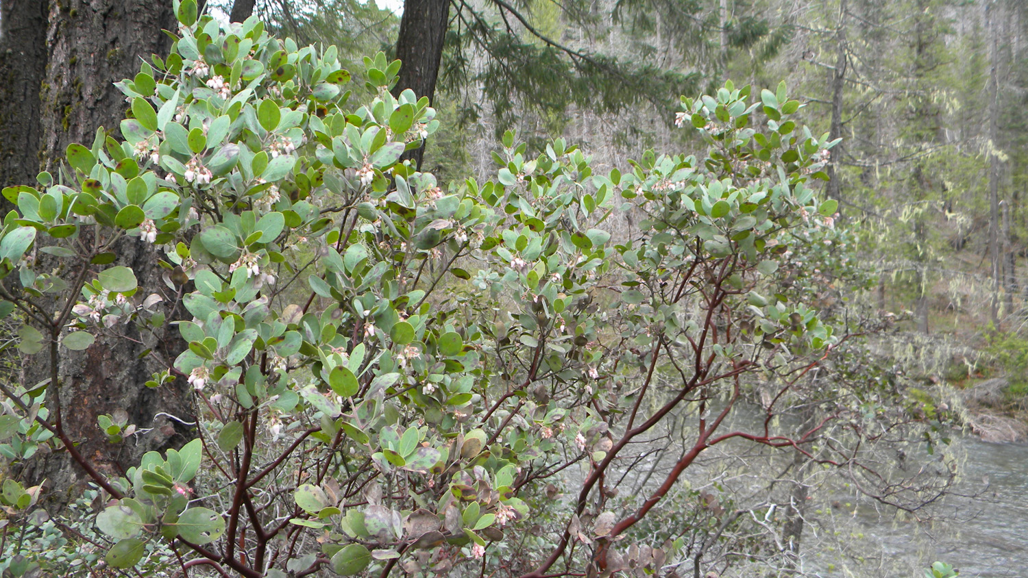
1339_Manzanita |
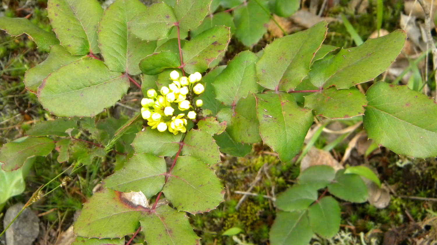
1341_Oregon_Grape |
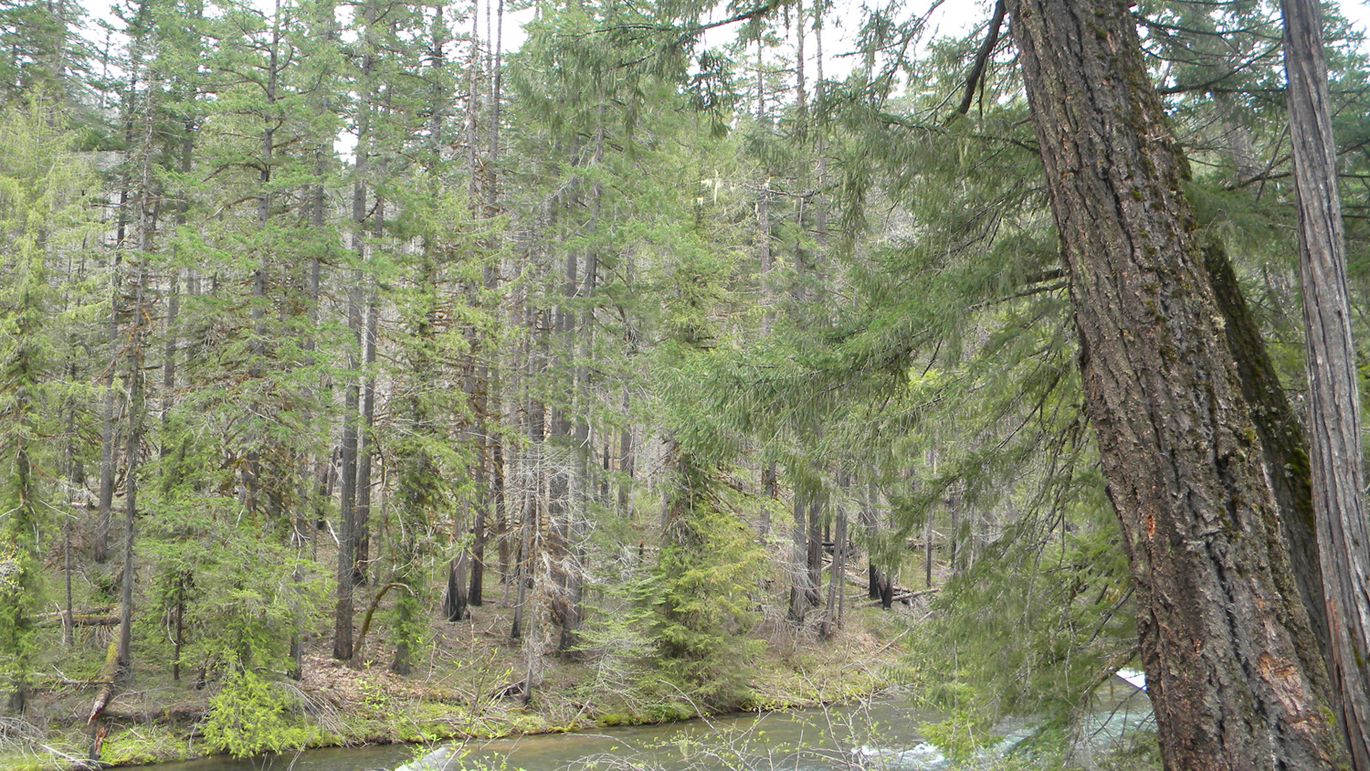
1342_Umpqua_River |
 |
 |
 |
 |
 |
1343_Manzanita |
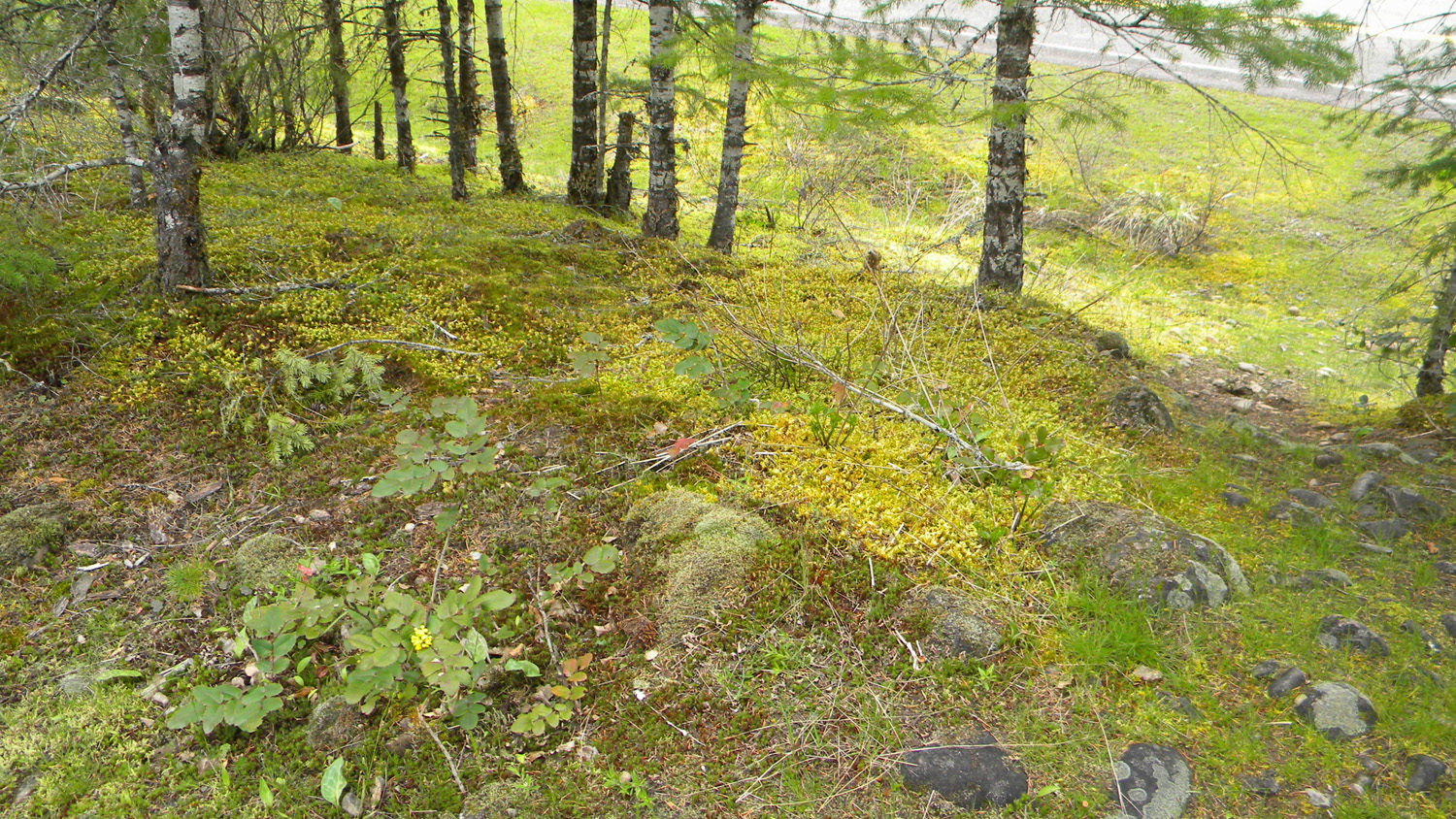
1344_Moss |
1345_Nana |
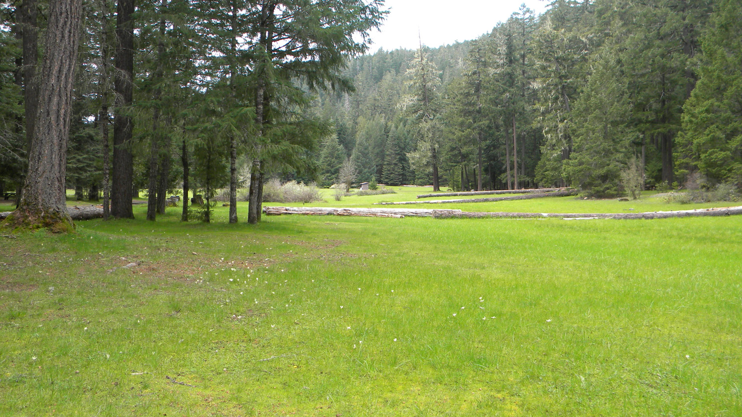
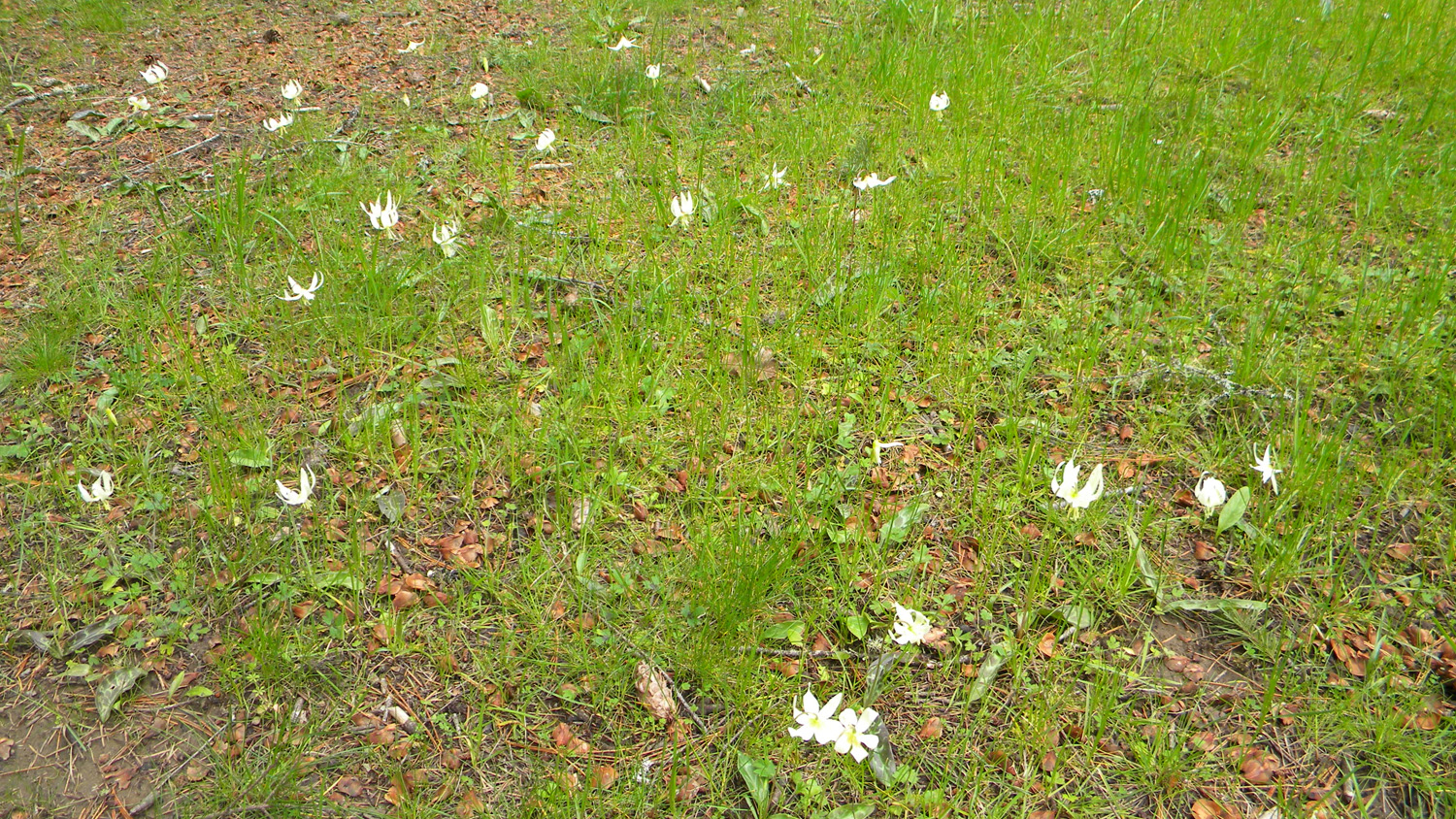
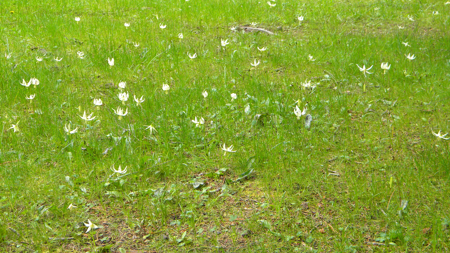
1346_Fawn_Lilies |
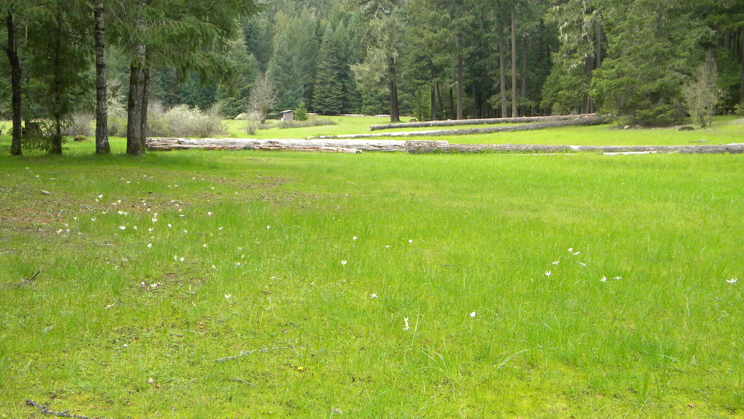
1347_Fawn_Lilies |
 |
 |
 |
 |
 |
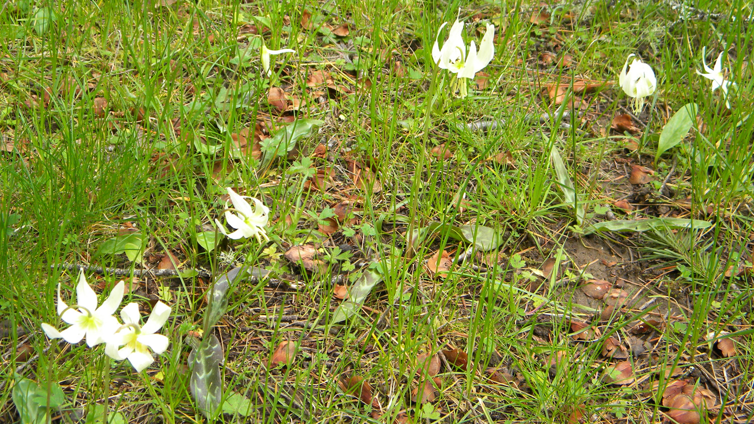
1348_Fawn_Lilies |
1349_Fawn_Lilies |
1350_Fawn_Lilies |
1351_Nana |
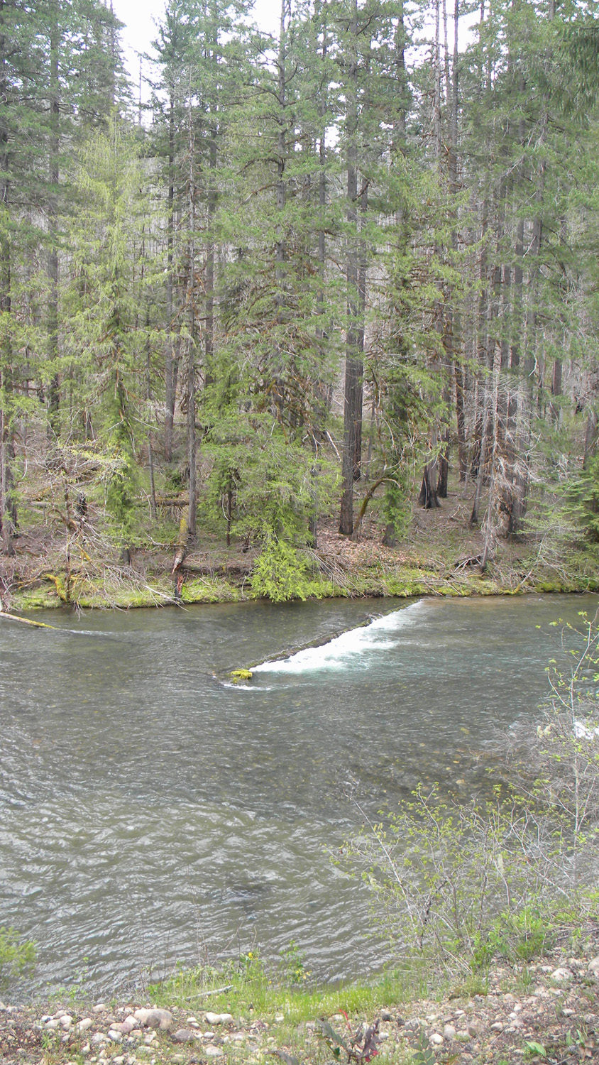
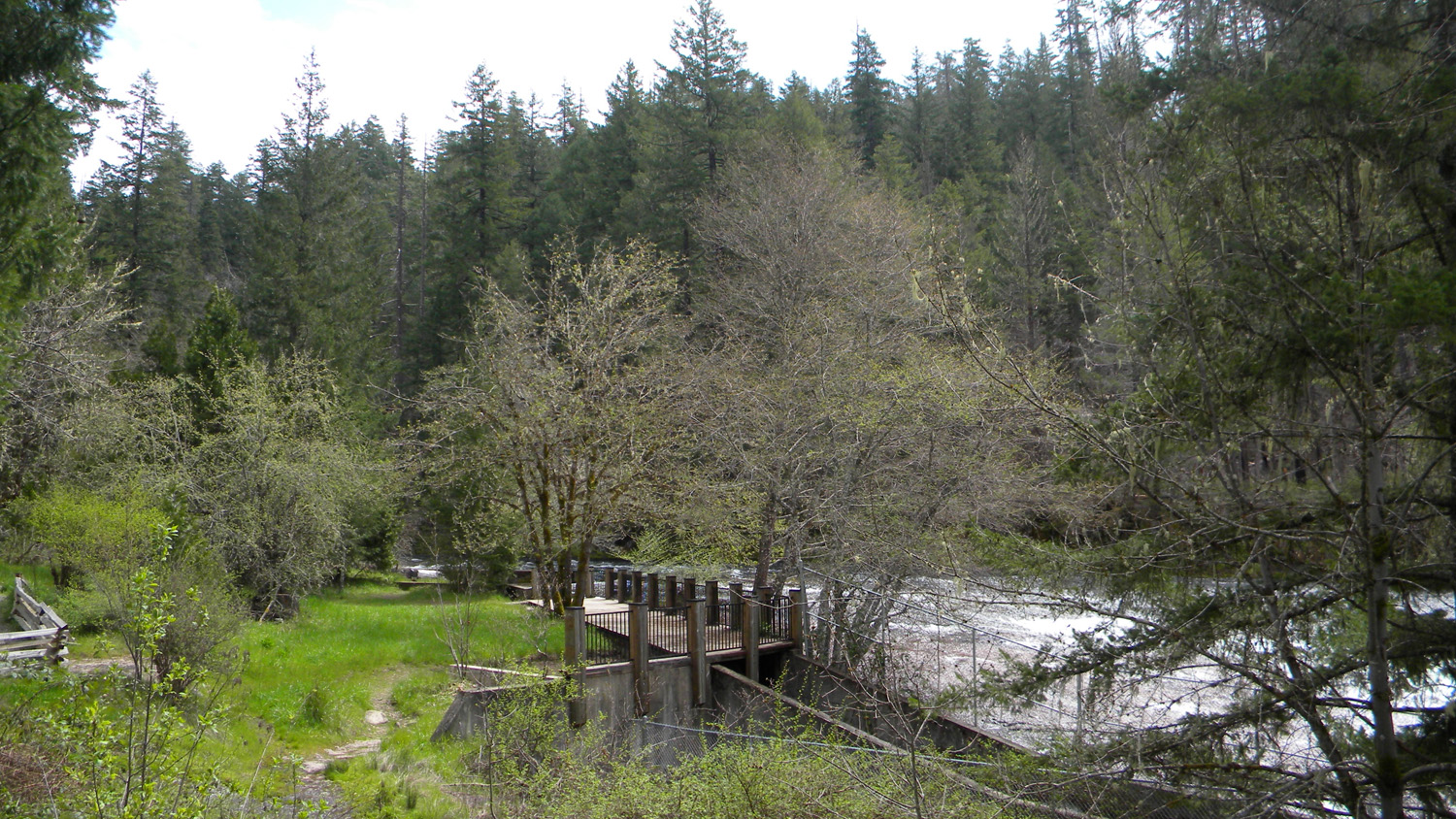
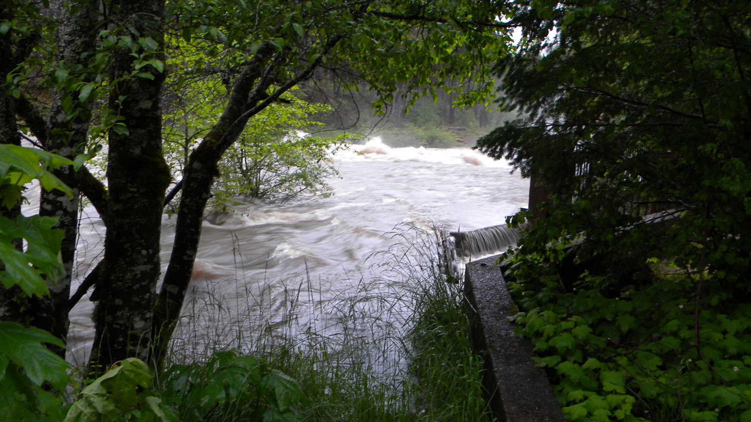
1353_Fish_Ladder |
 |
 |
 |
 |
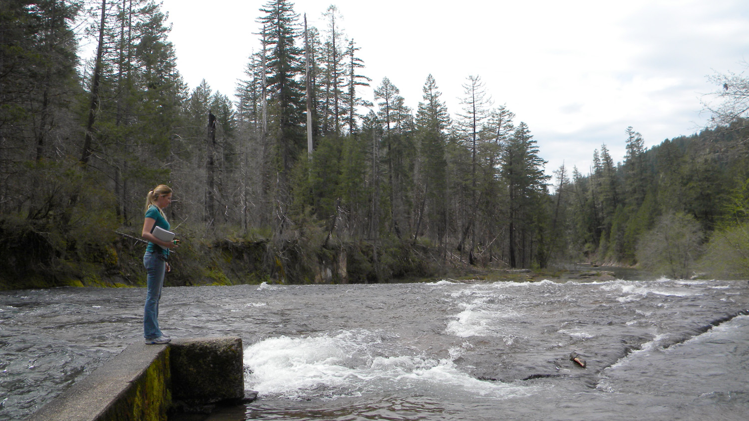 |
1354_Falls |
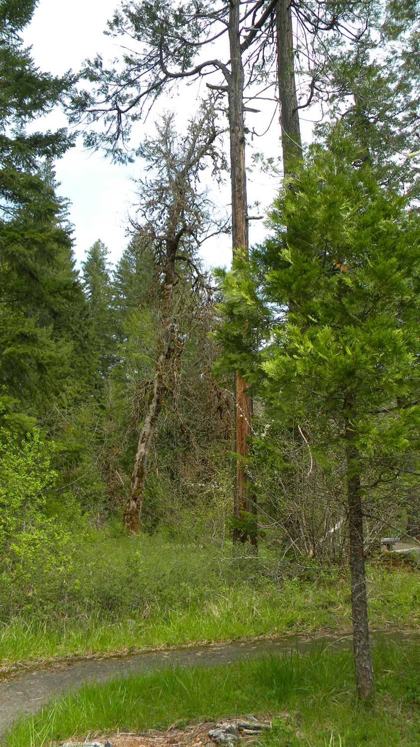
1355_Burnt_Timber |
1356_Falls |
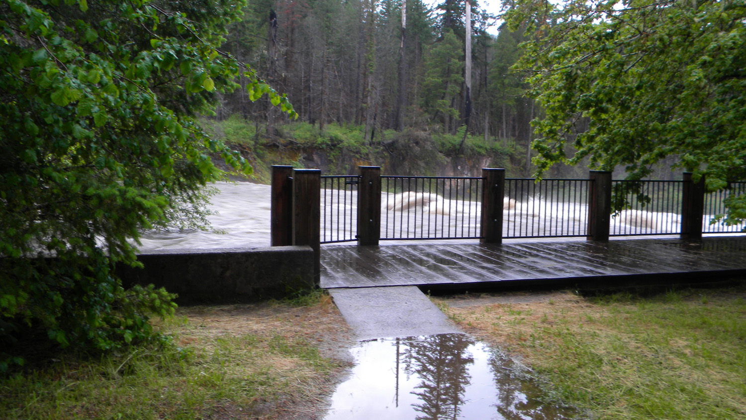
1357_Walkway |
1358_Above_Falls_Nana |
 |
 |
 |
 |
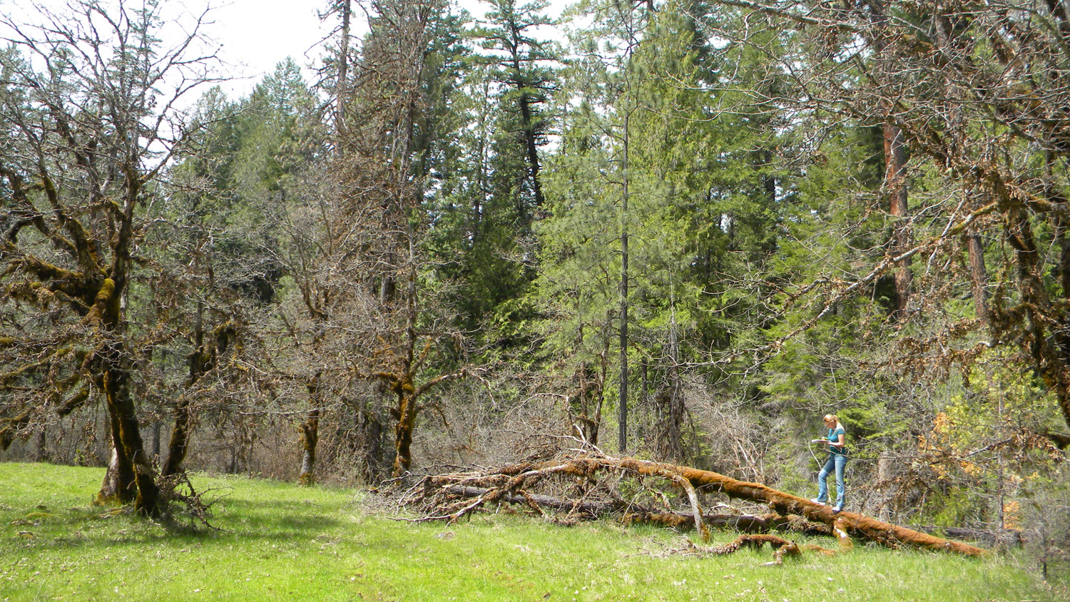 |
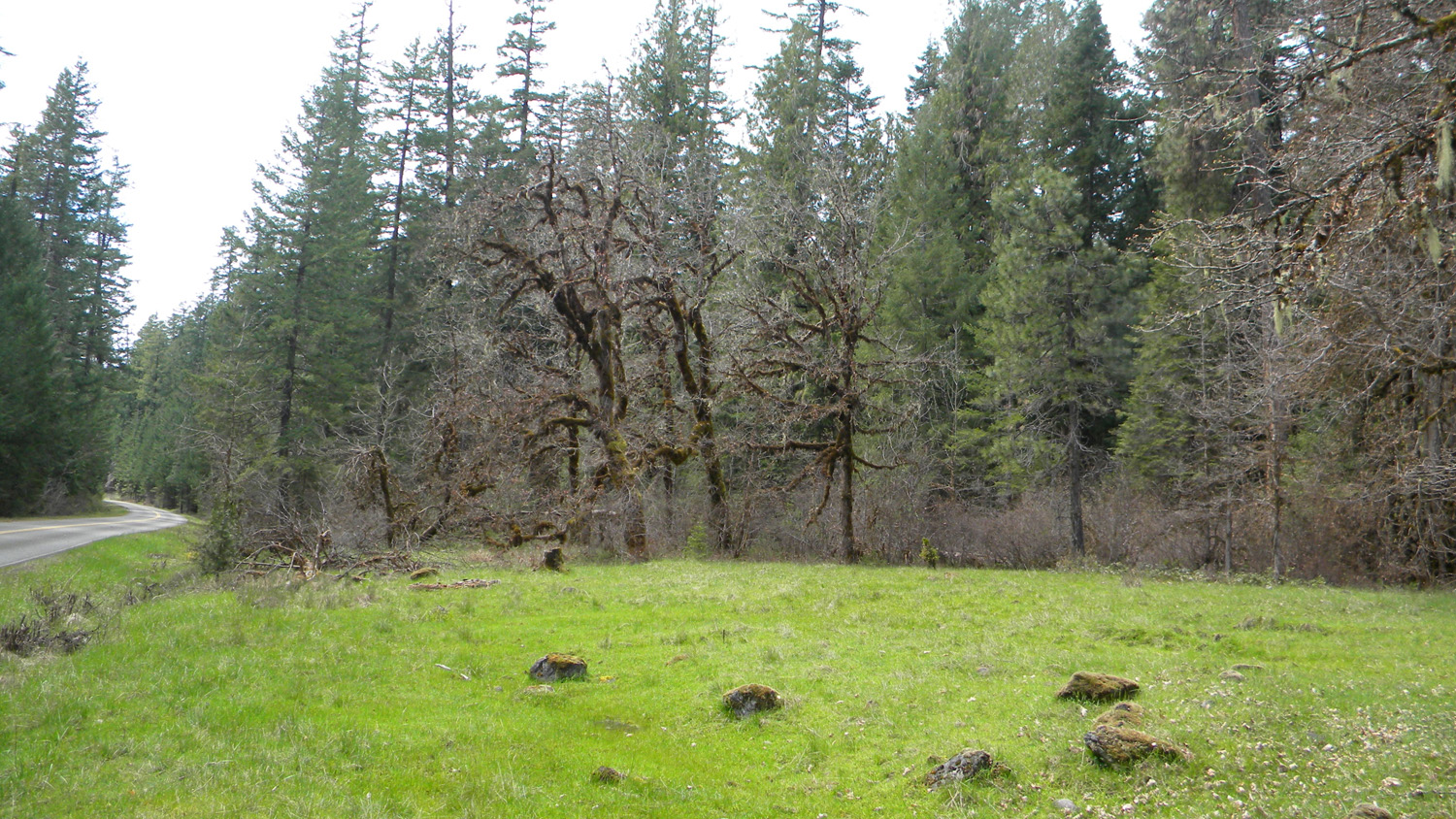
1359_Oak |
1360_Oak_Flat |
1361_Oak |
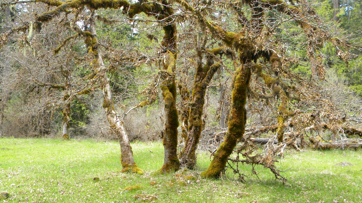
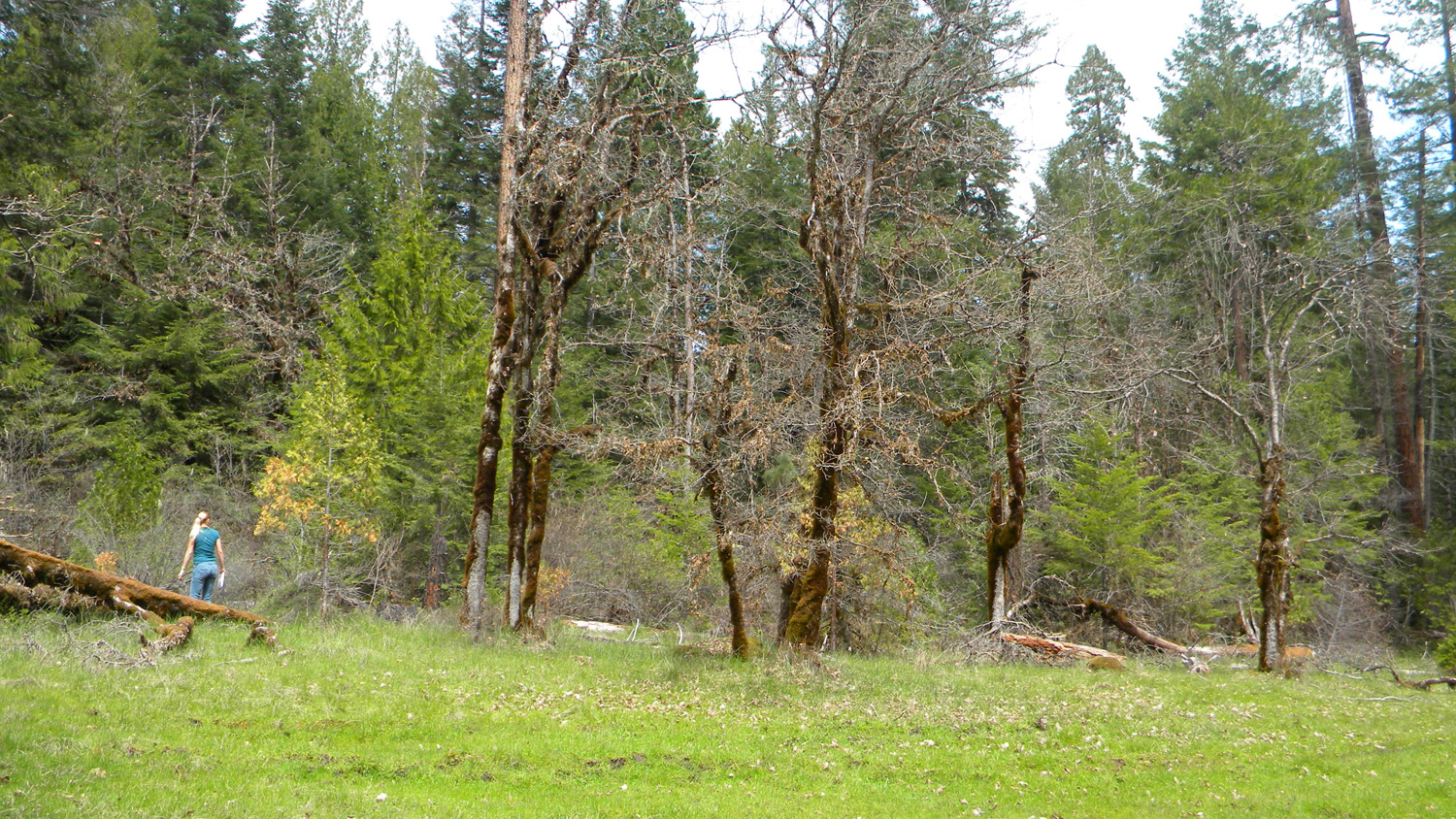
1362_Oaks_Nana |
1363_Oaks_Nana |
 |
 |
 |
 |
 |
4359__Umpqua_Flooded |
4360_Umpqua_Flooded |
4361_Umpqua_Flooded |
4362_Umpqua_Flooded |
4363_Umpqua_Flooded |
 |
 |
 |
 |
 |
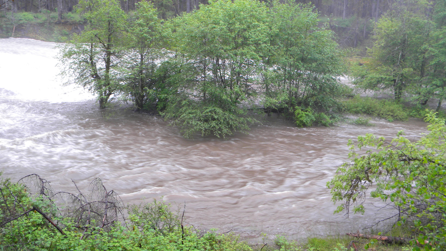
4364_Umpqua_Flooded |
4365_Umpqua_Flooded |
4367_Umpqua_Flooded |
4368_The_Falls |
4369_Umpqua_Falls |
 |
 |
 |
 |
 |
4400_Umpqua_Falls |
4401_Umpqua_Falls |
4402_Umpqua_Falls |
4403_Umpqua_Falls |
4404_Umpqua_Falls |
 |
 |
 |
 |
|
4405_Umpqua_Falls |
4406_Umpqua_Falls |
4412_Umpqua_Falls |
4414_Umpqua_Falls |