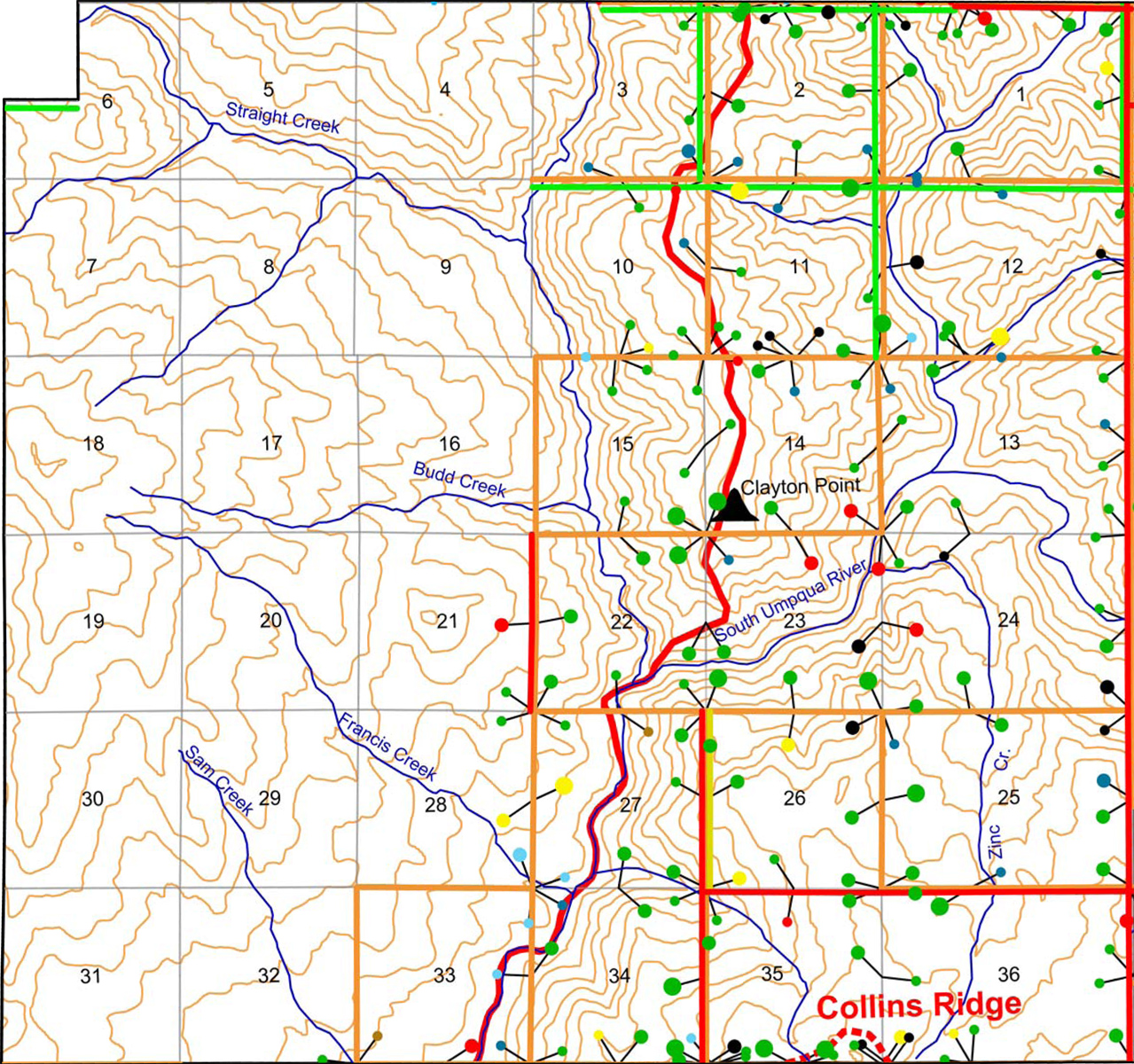
Upper South Umpqua Headwaters Precontact Reference Study
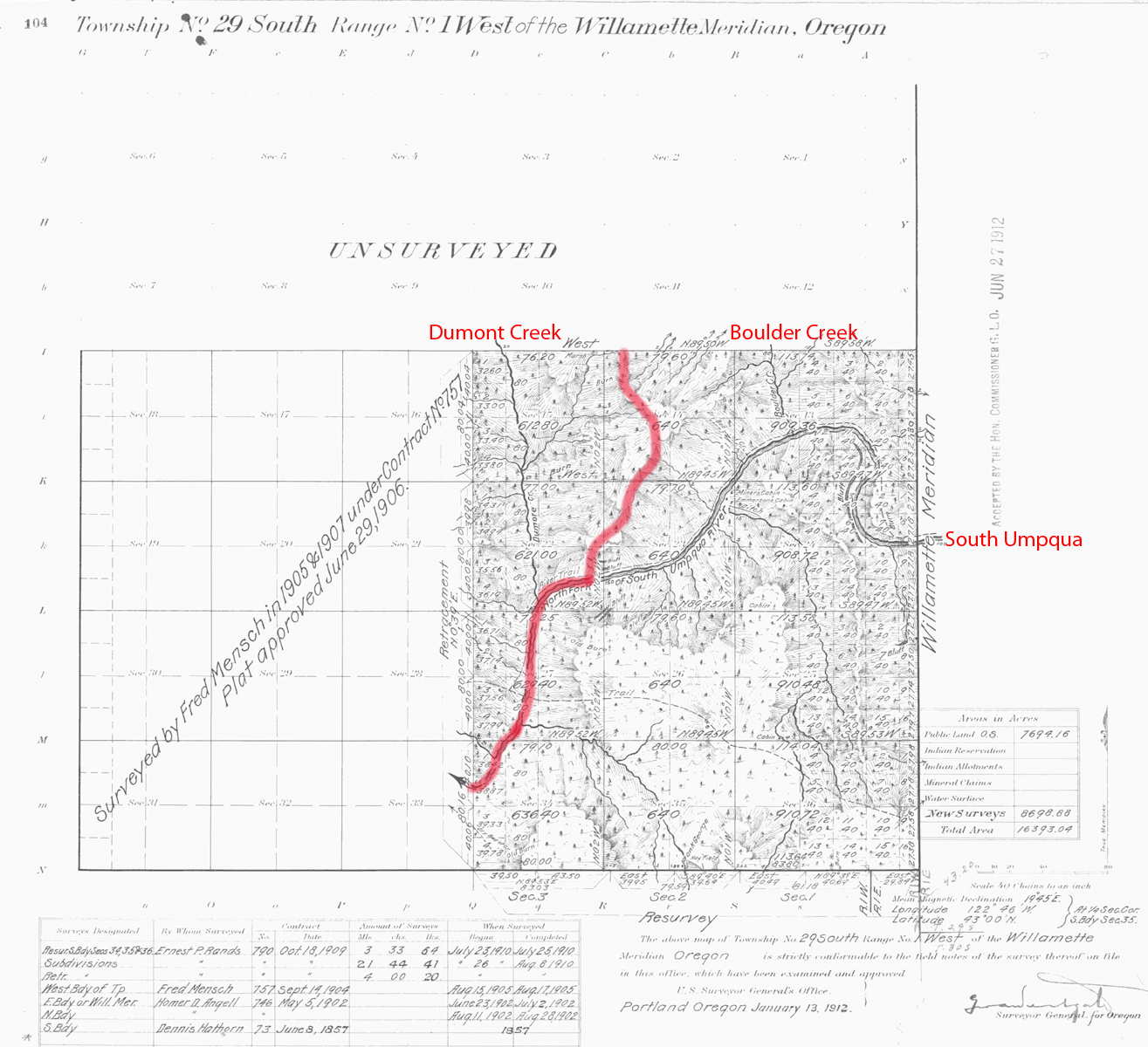
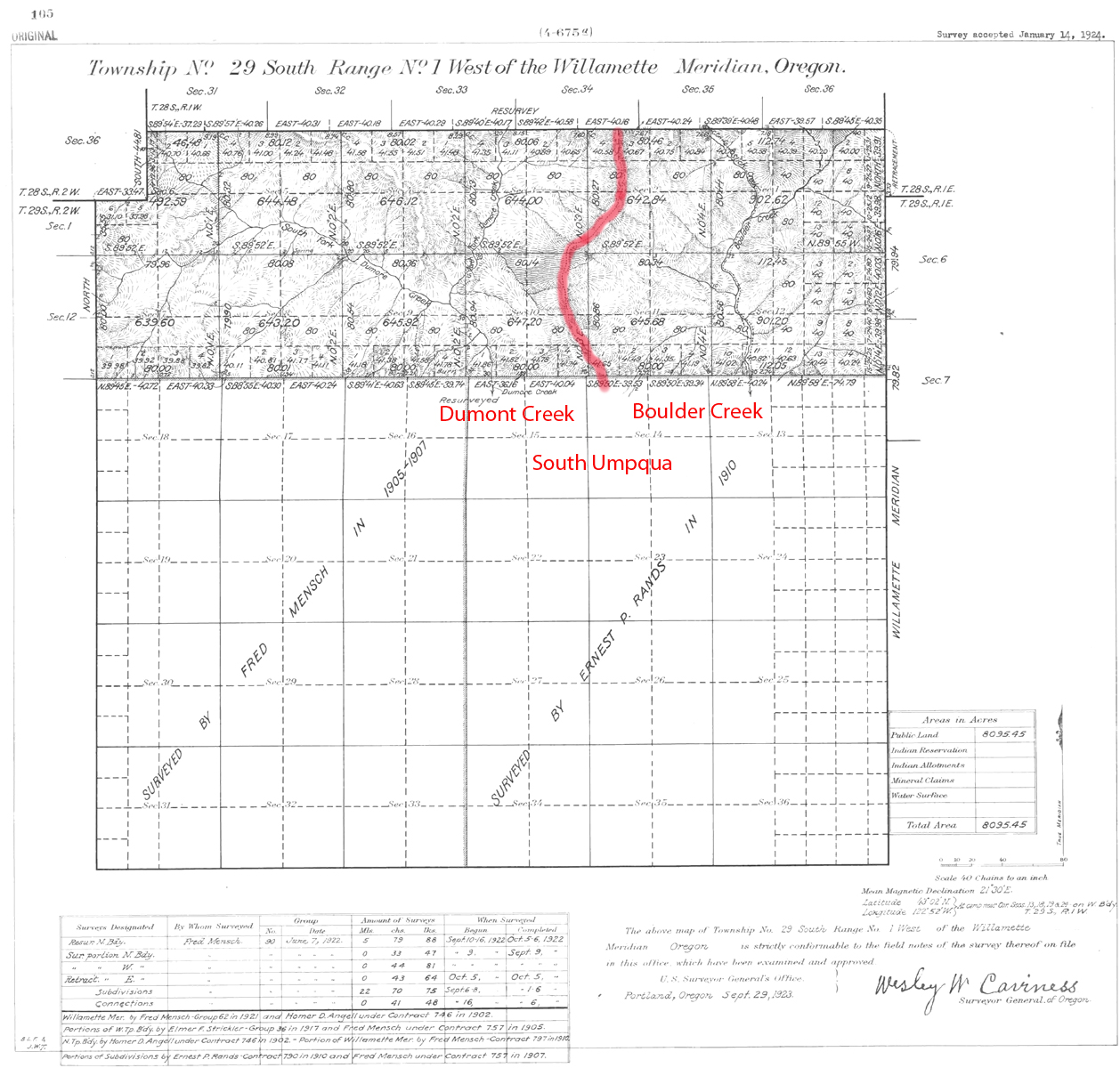
Tsp. 29 S., Rng. 1 W.
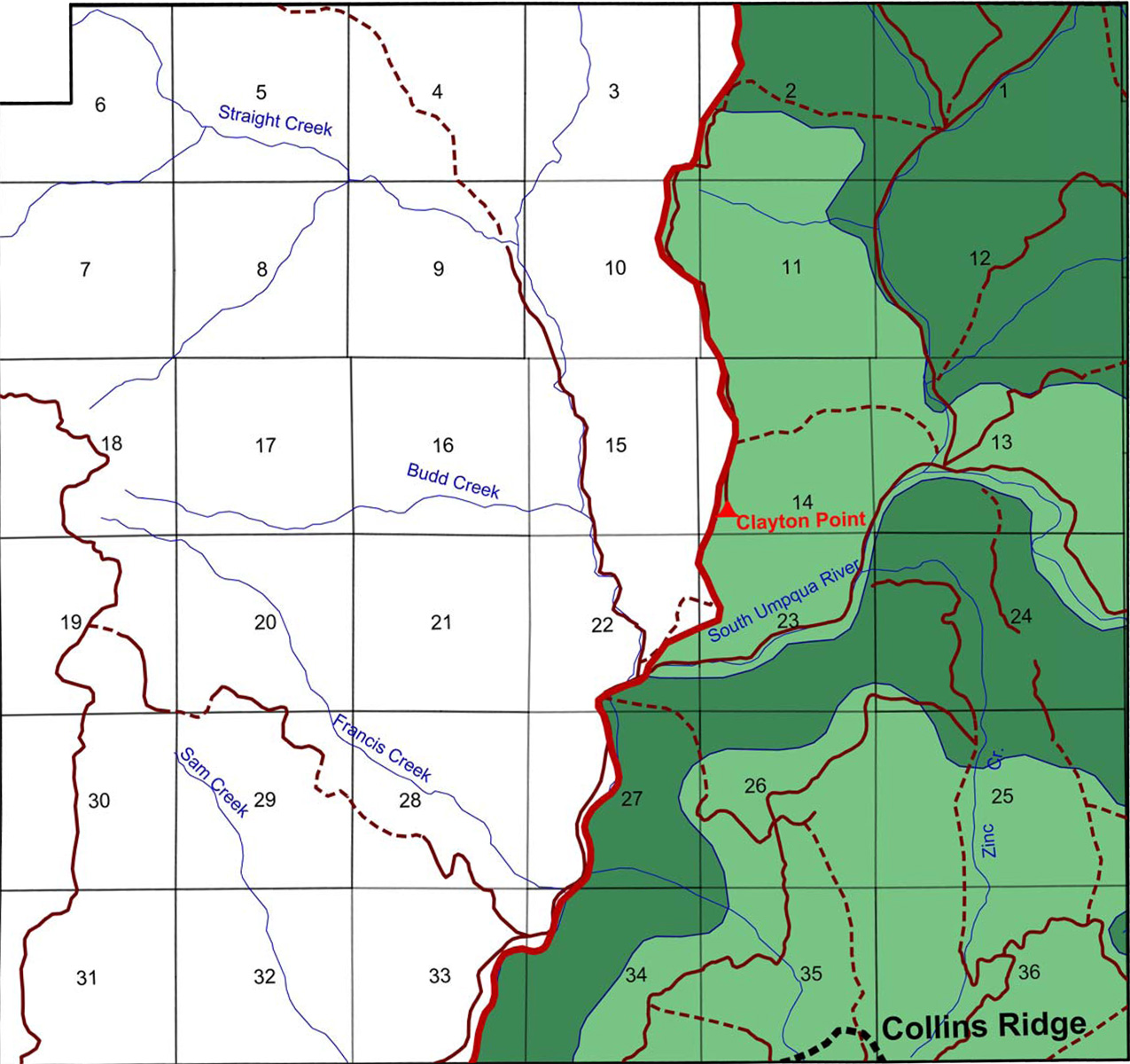
The survey of Tsp. 25 S., Rng. 1 W. was completed in 1857, 1902, 1906, 1910, and 1921 and mapped in 1906, 1912, and 1923 (Hathorn 1857; Angell 1902; Mensch 1906; Rands 1910; Mensch 1921a). Here are links to the separate References and to the typed Original Land Survey Notes.
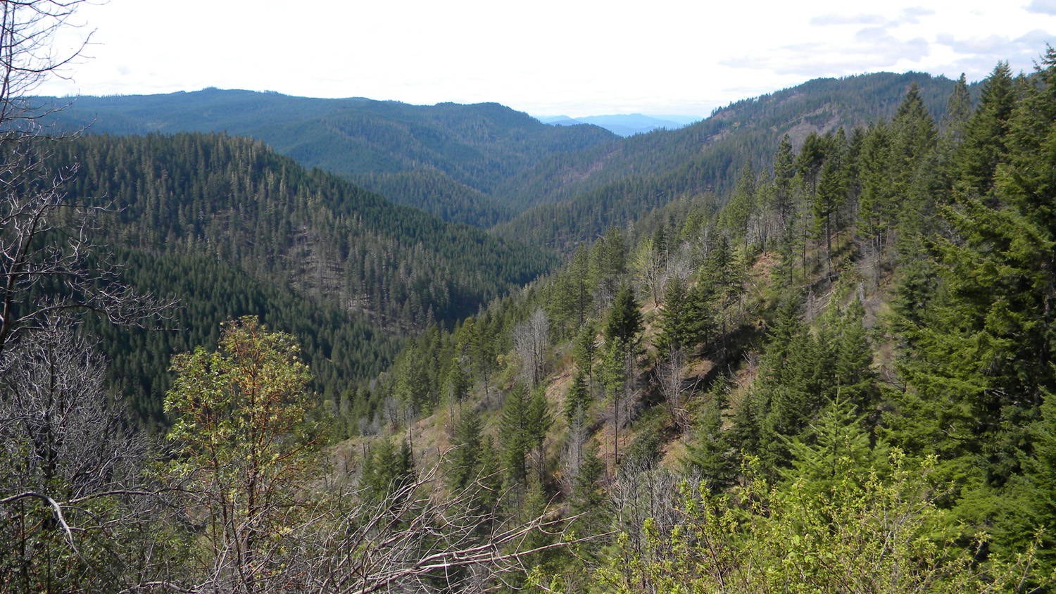
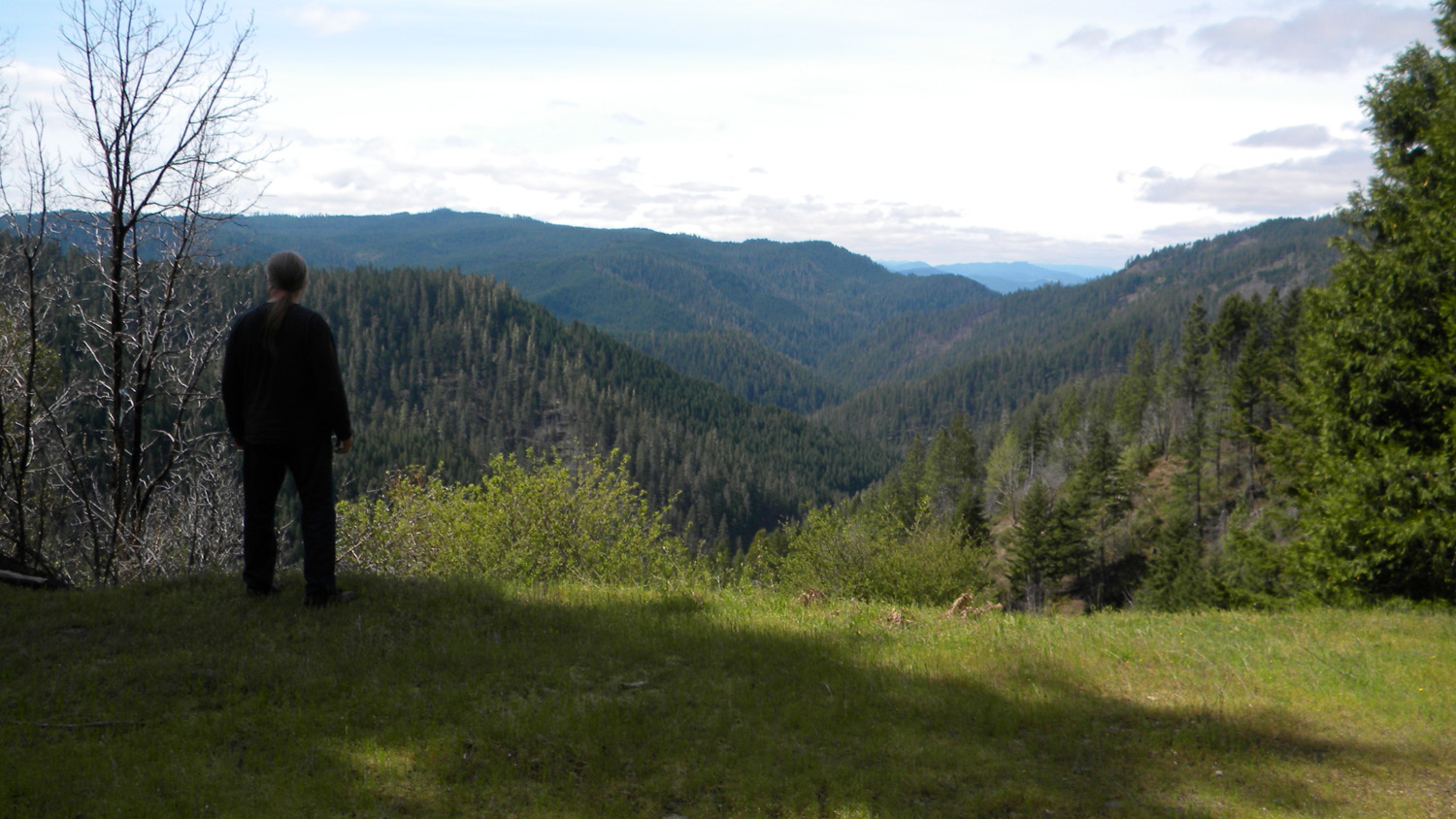
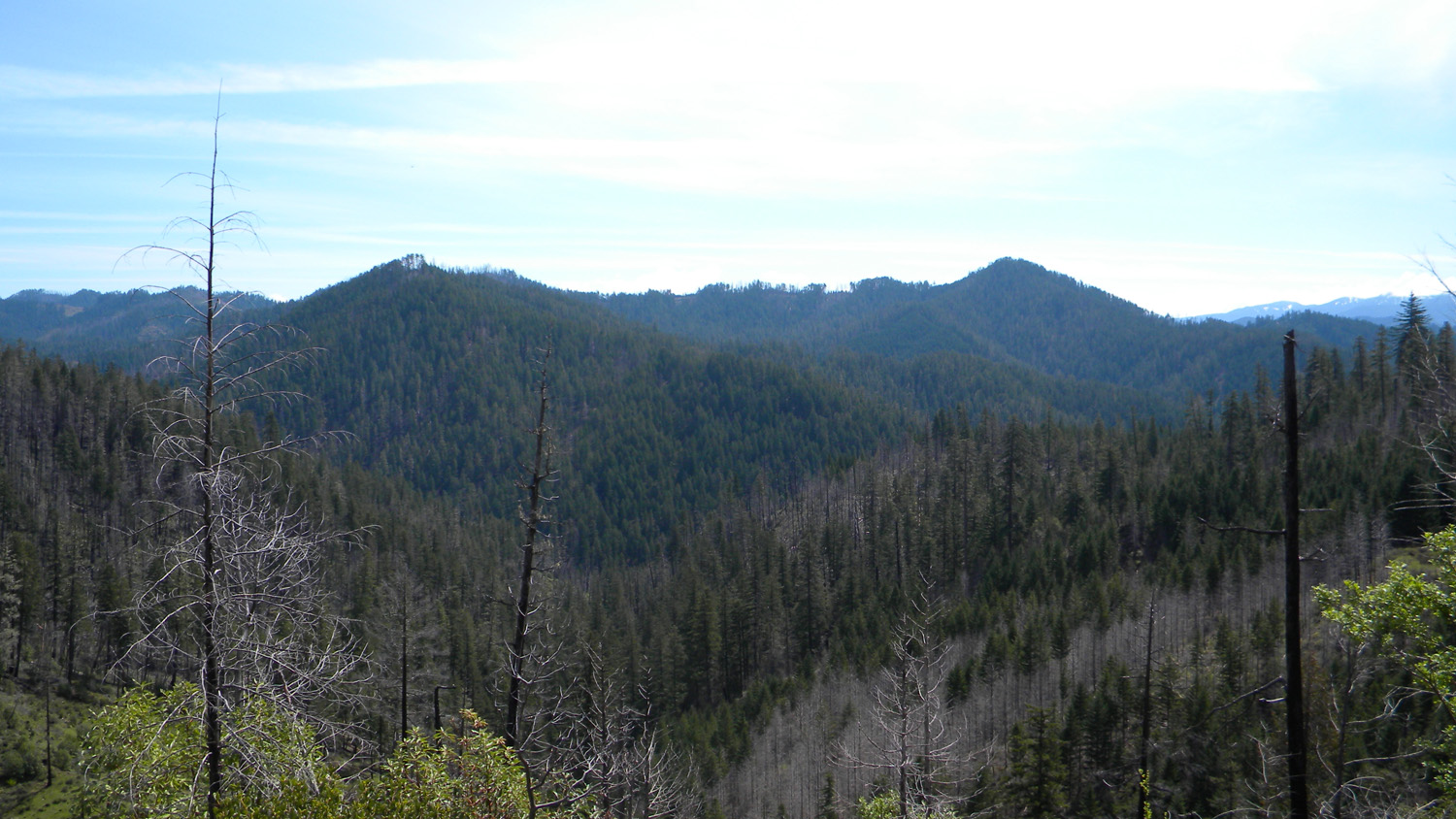
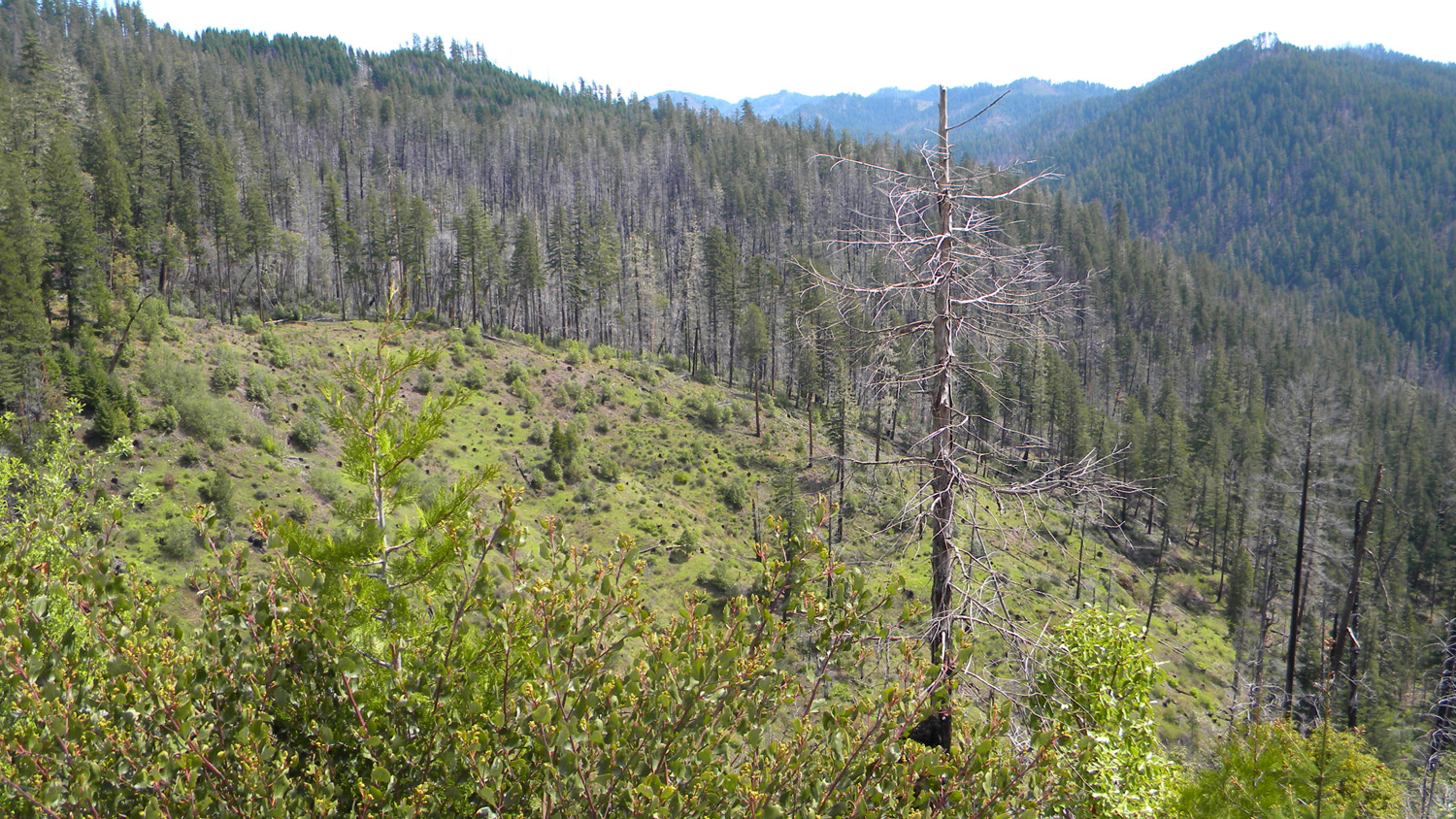
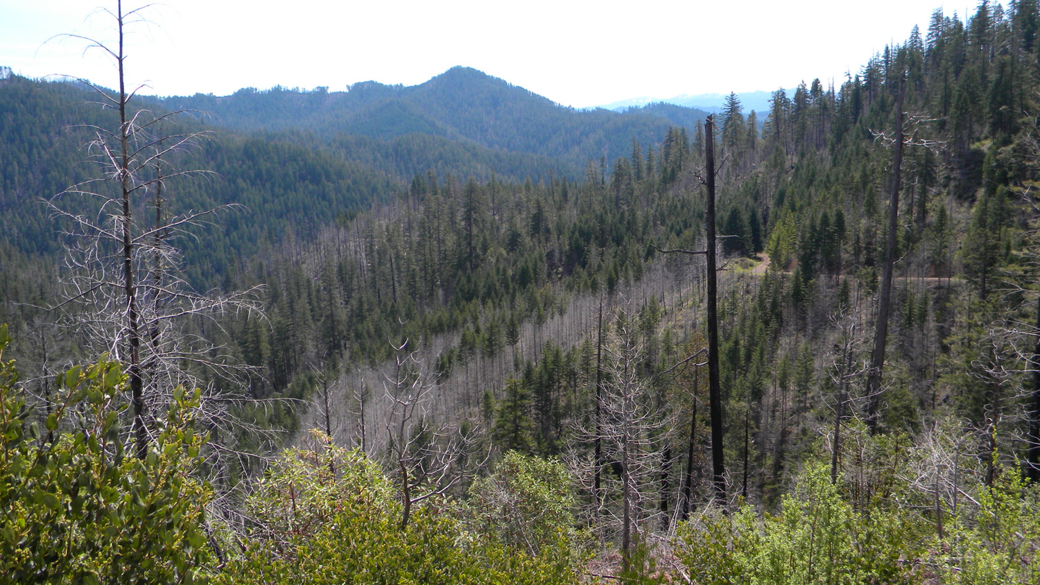
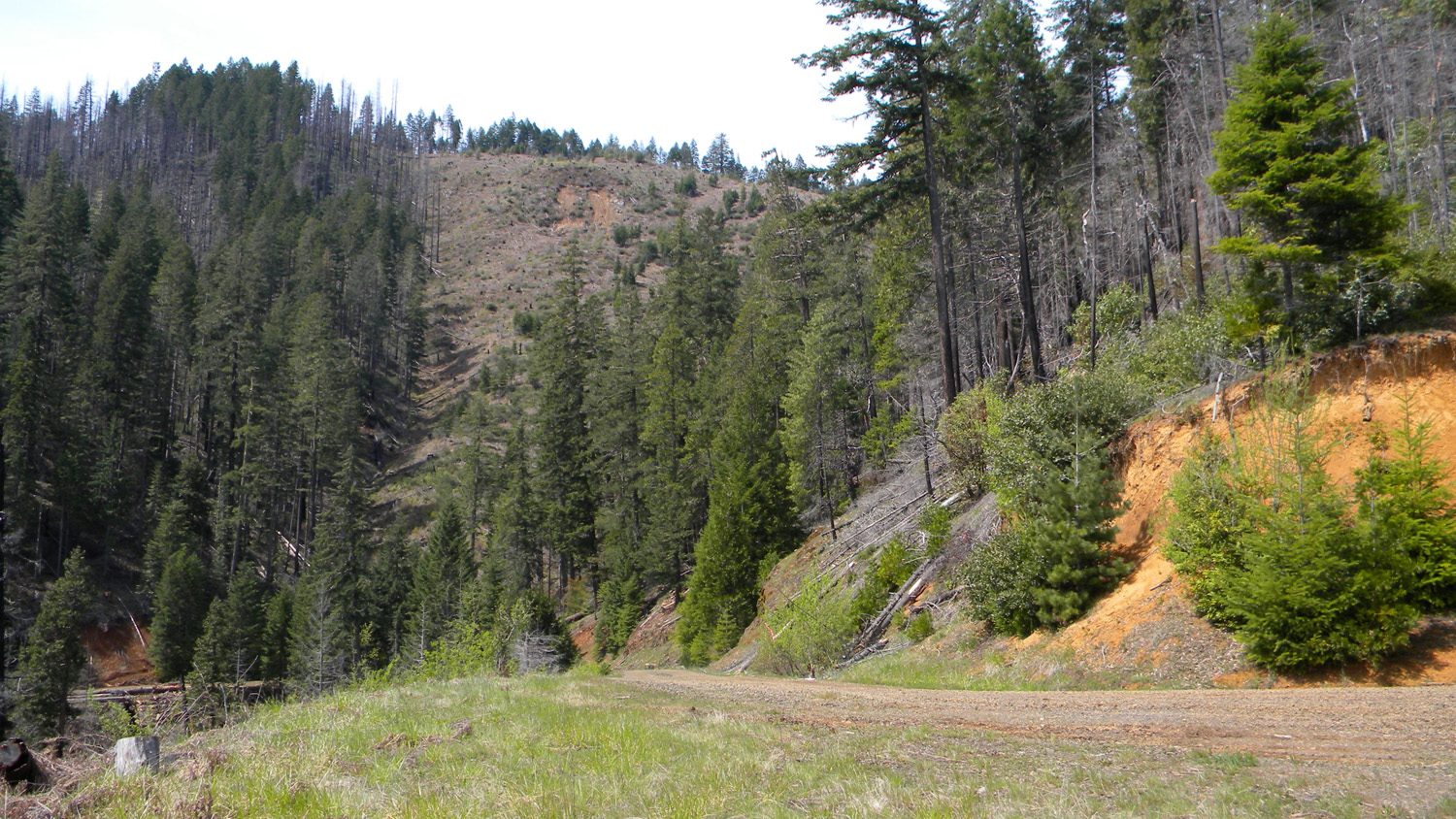
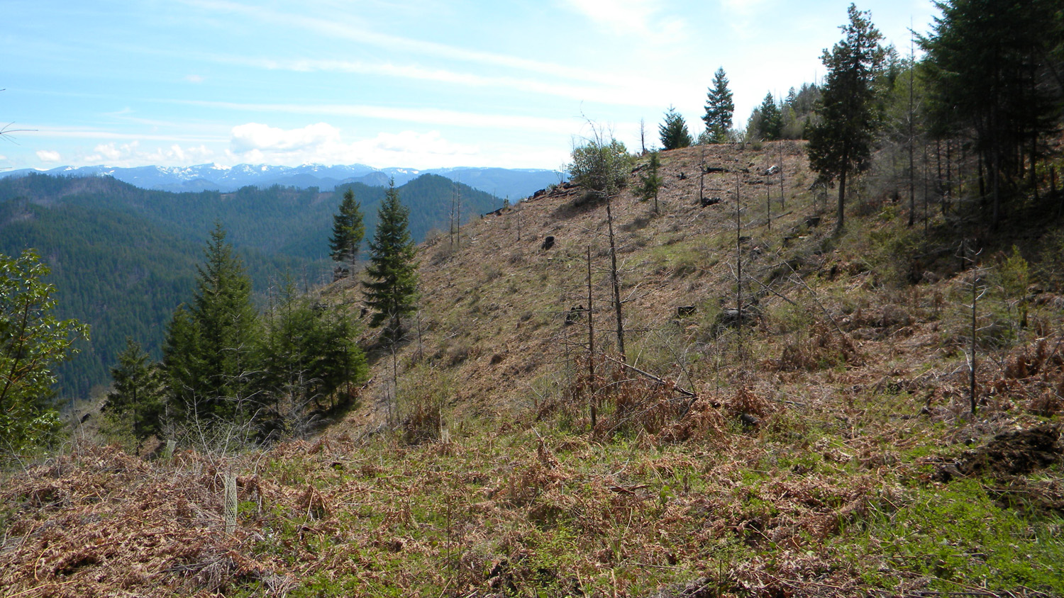
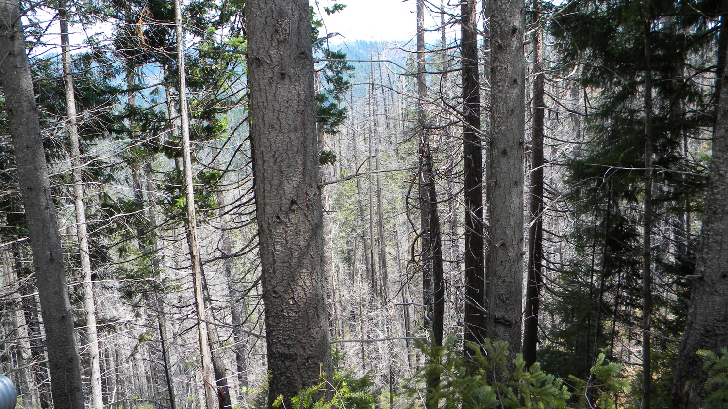
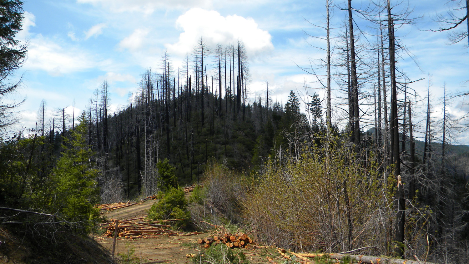
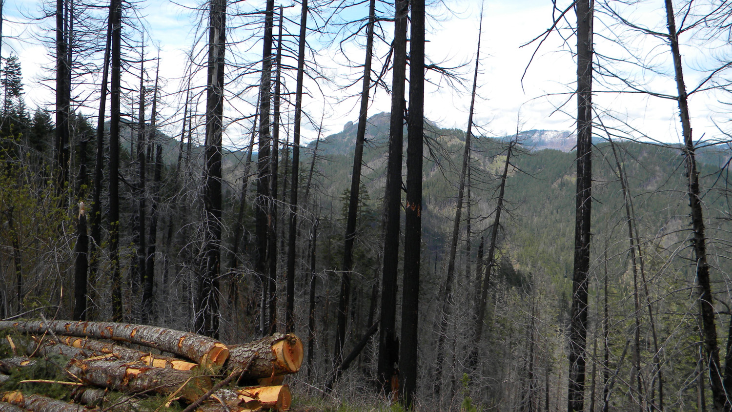
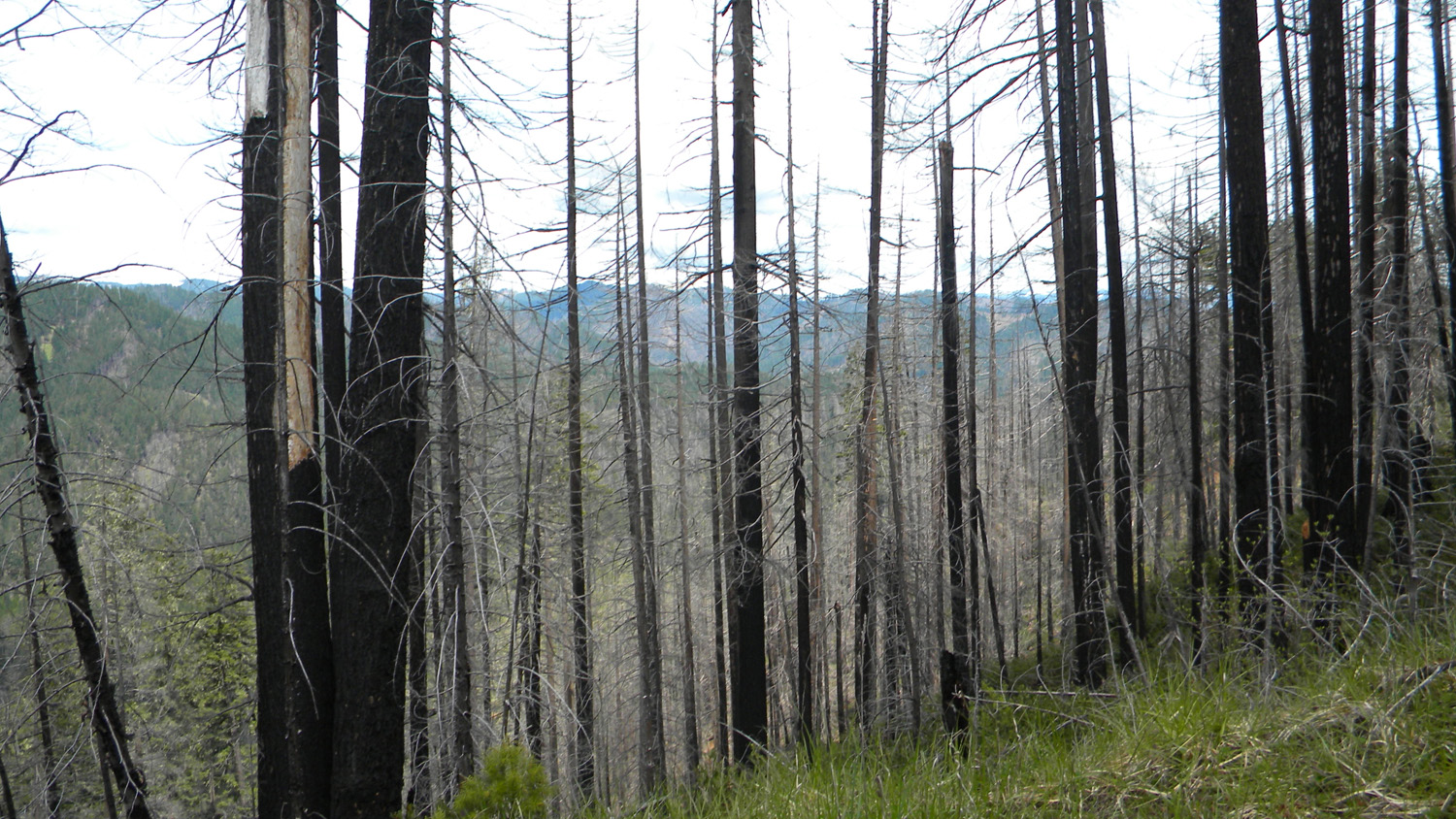
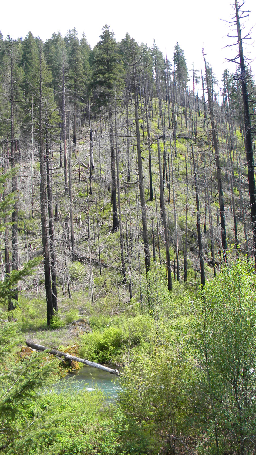
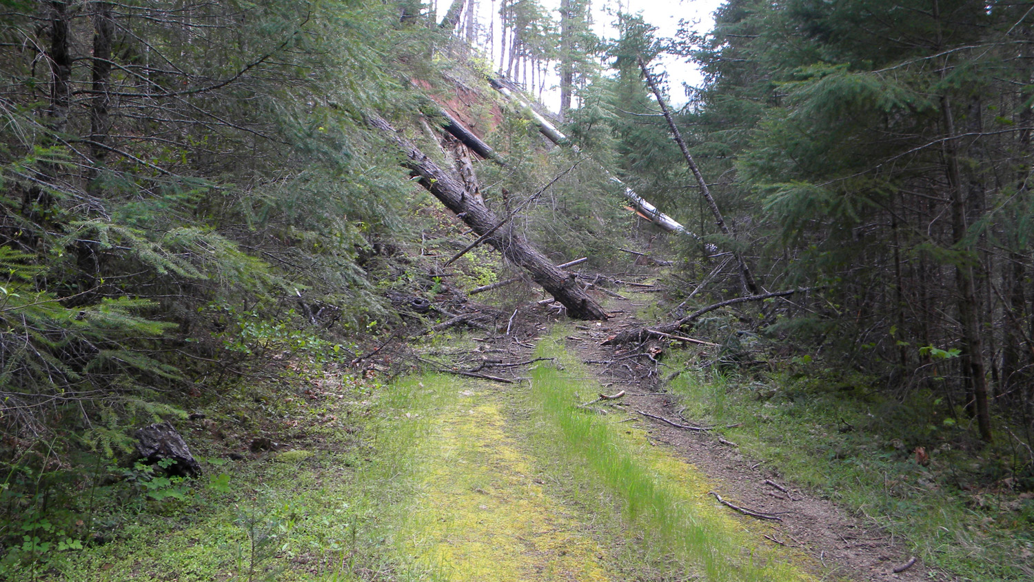
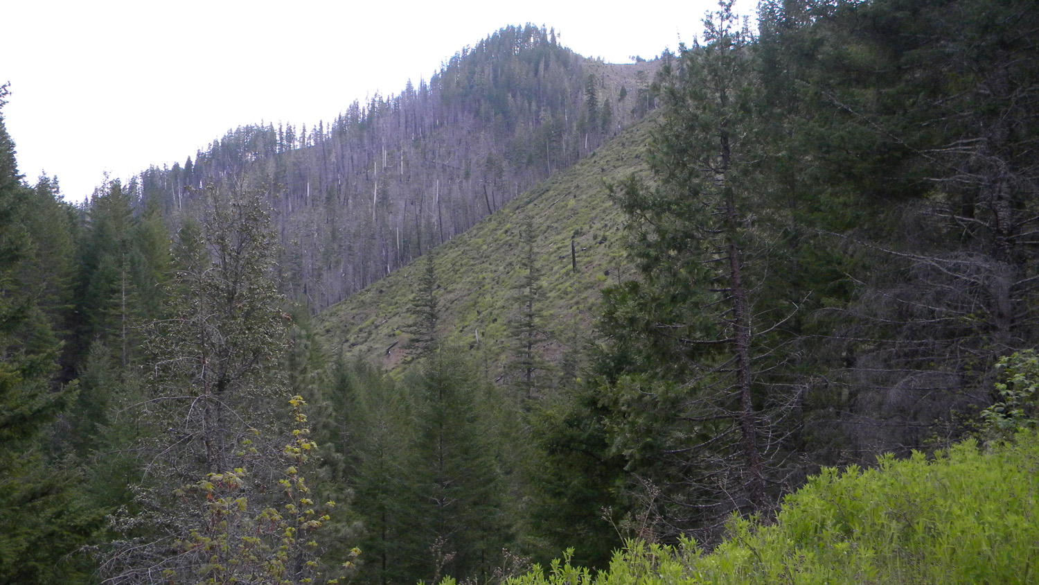
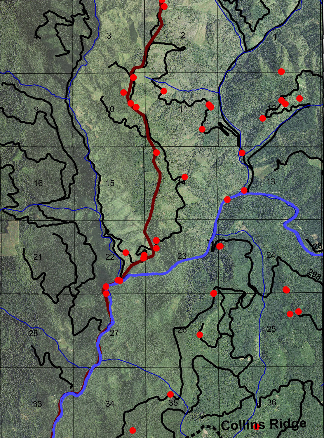
This township is located in the Upper South Umpqua Headwaters Precontact Reference Study and contains portions of two of the study's subbasins: northern Zinc Creek subbasin and southwest Boulder Creek subbasin.
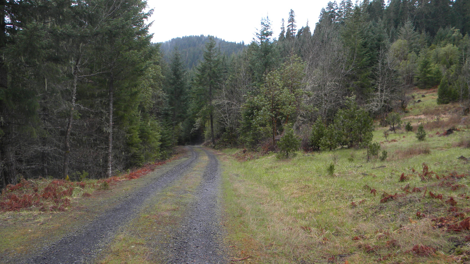
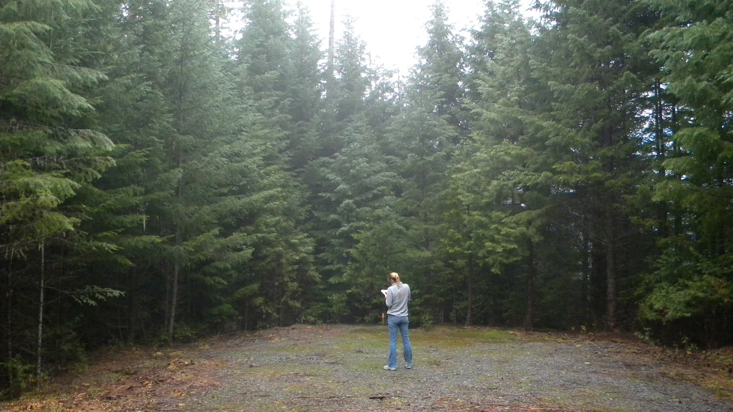
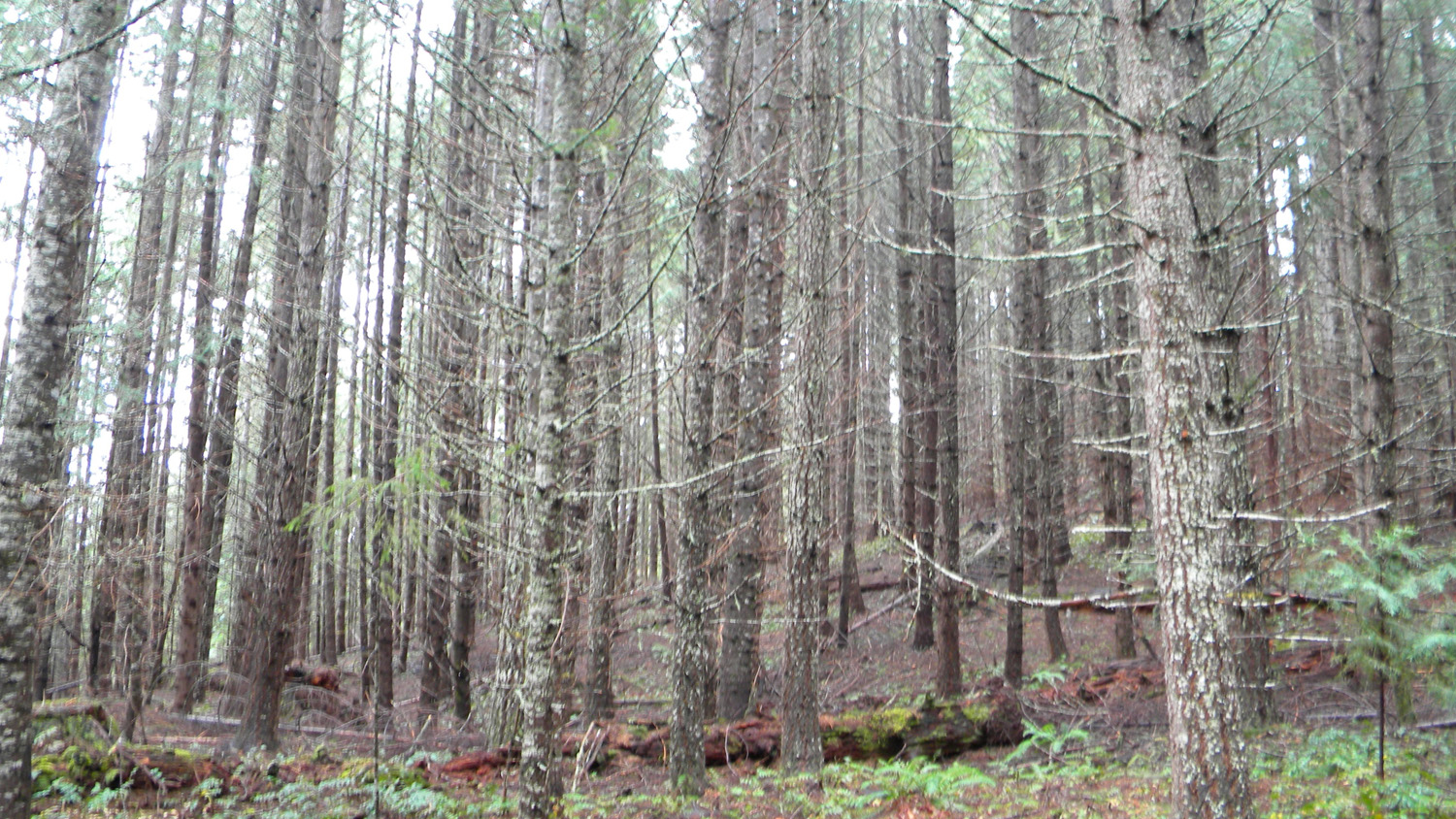
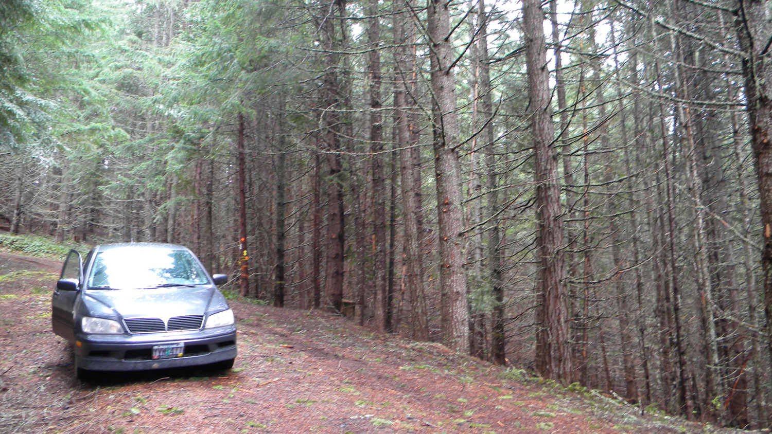
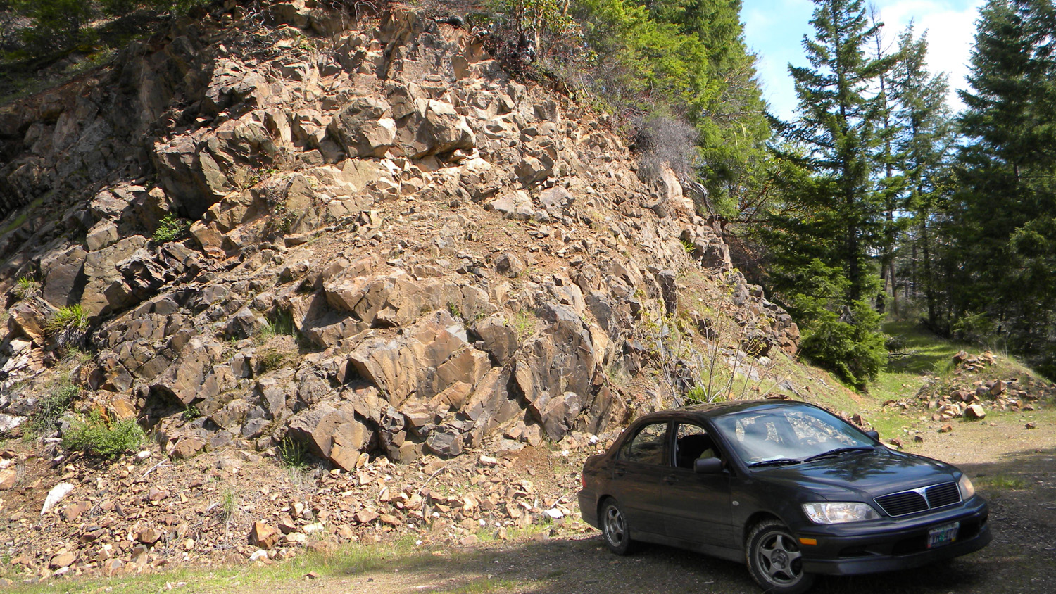
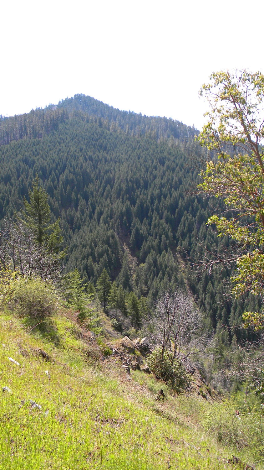
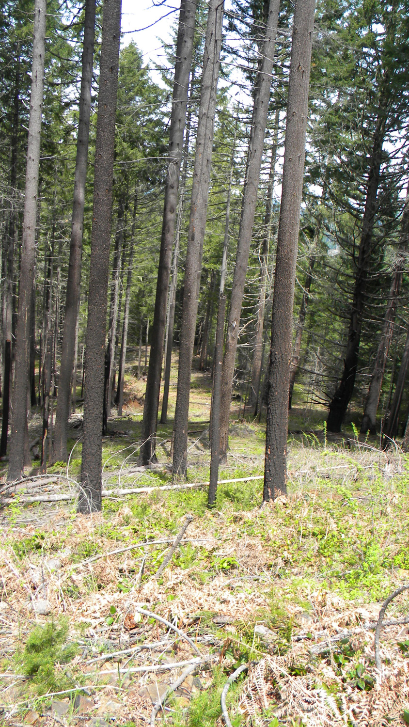
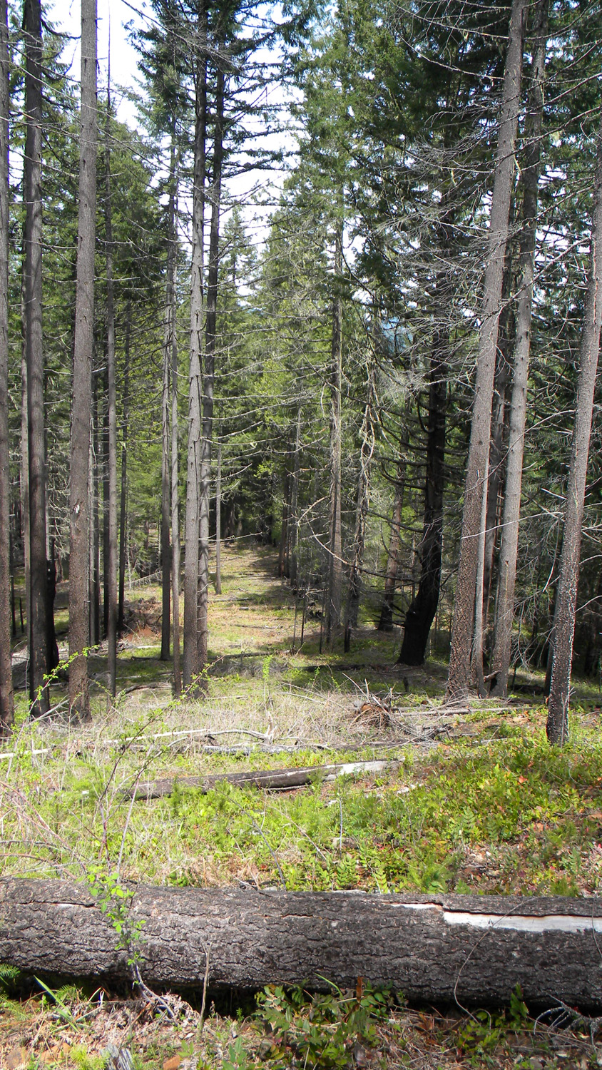
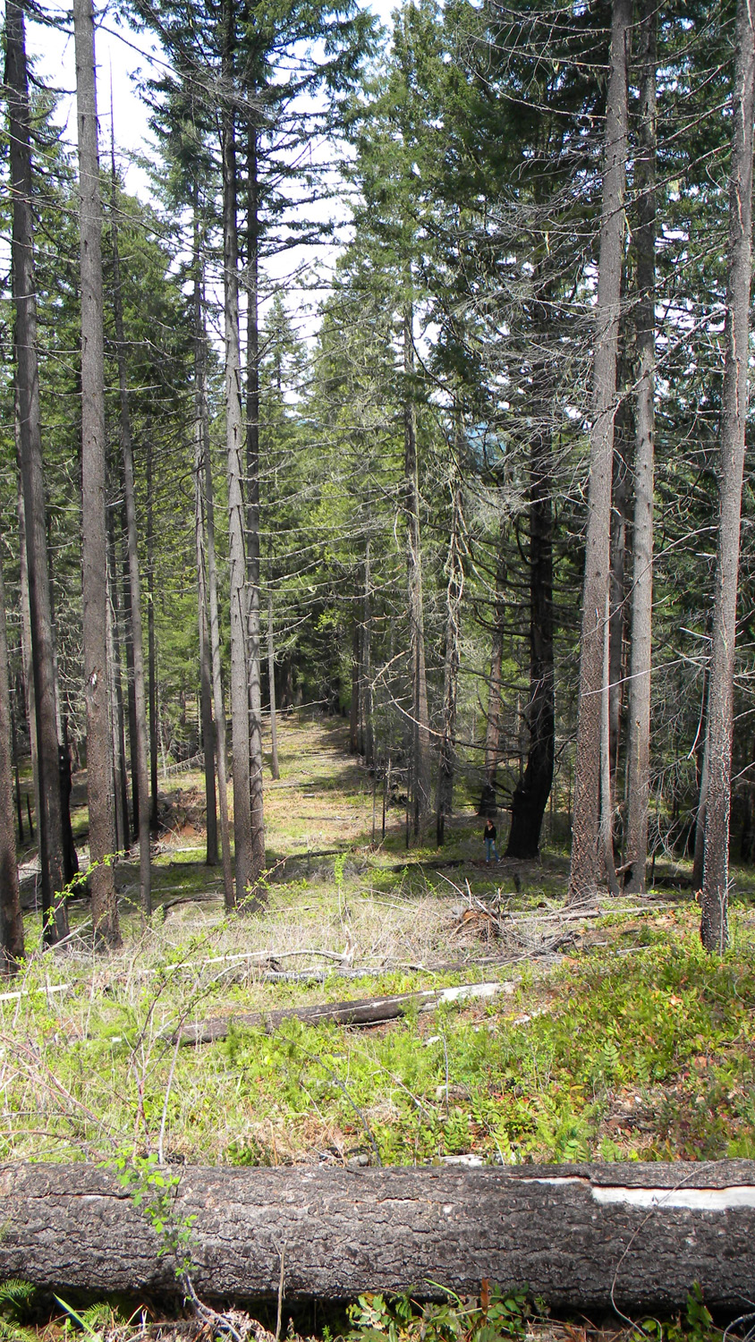
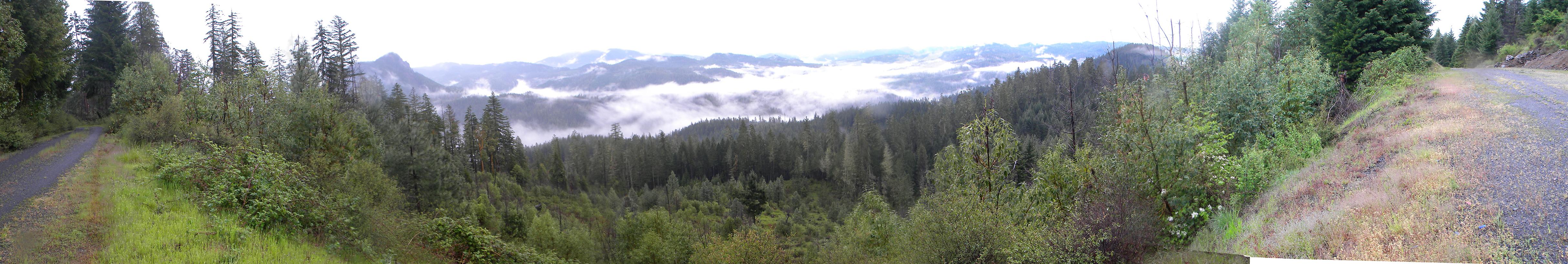
This page includes specific maps and aerial photographs of Tsp. 25 S., Rng. 1 W., panoramas and QTVR video files constructed from the 2010 field research studies, and individual historical and 2010 documentary photographs showing current condtions, native plants and animals, and other points of interest related to this study area.
Panoramas and QTVRs
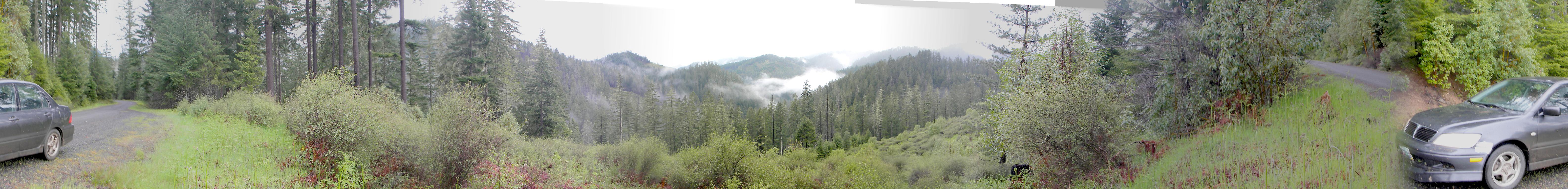
4120-4124_Acker_Rock-180 |
||
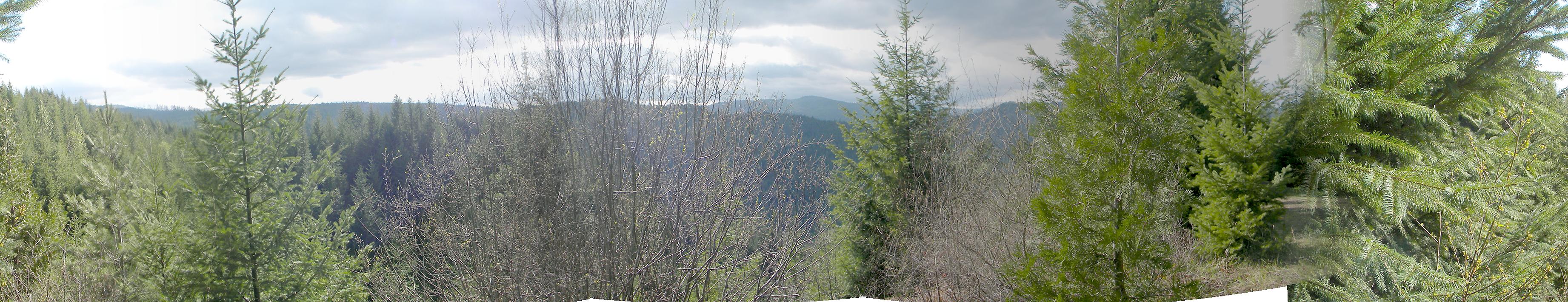
4126-4131_27_Road-180 |
||
1928-1931_616_Road_View-180 |
JPGQTVR |
|
2050-2060_Iris_Pond-360 |
JPGQTVR |
|
2106-2115_800_Road_View-180 |
JPGQTVR |
|
2119-2127_100_Road_View-360 |
JPGQTVR |
|
2131-2141_122_Road_View-360 |
JPGQTVR |
|
2150-2157_Clayton_Point-180 |
JPGQTVR |
 |
 |
 |
 |
 |
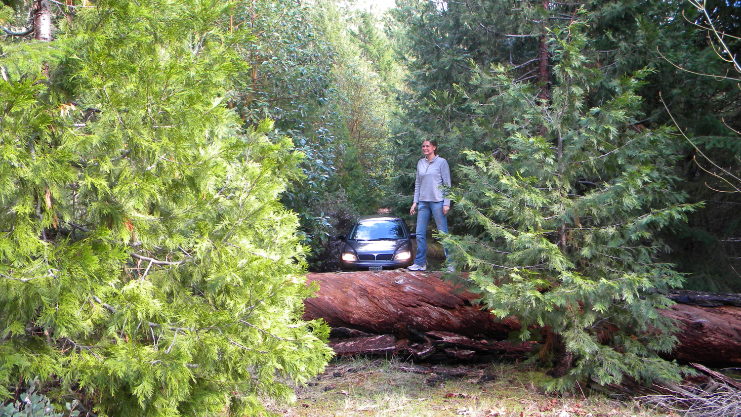
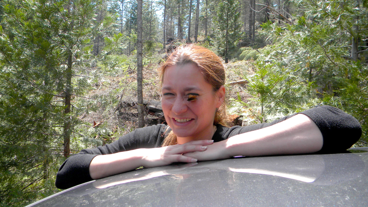
1841_Top_Ramen |
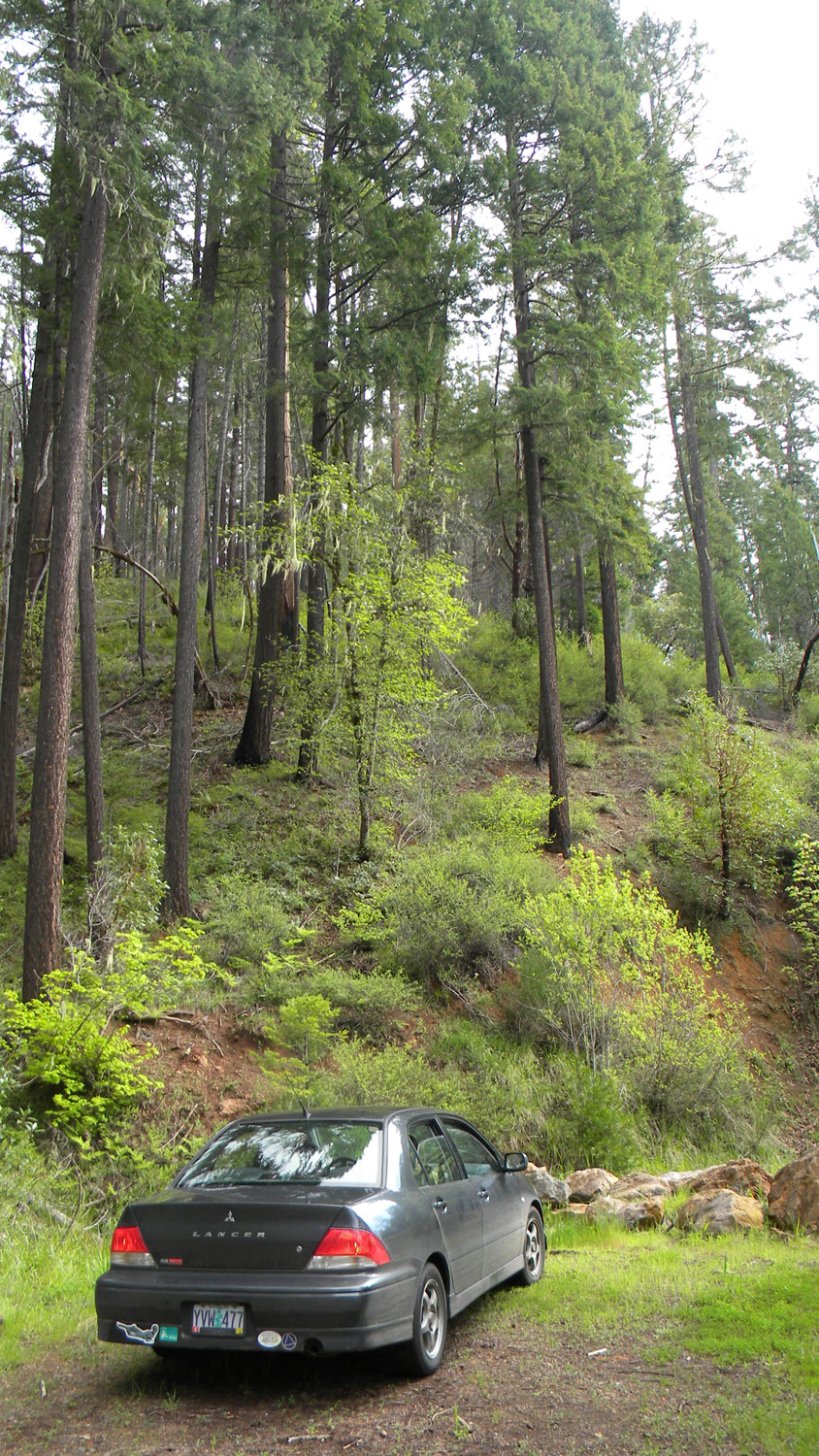
1842_780_Road_End |
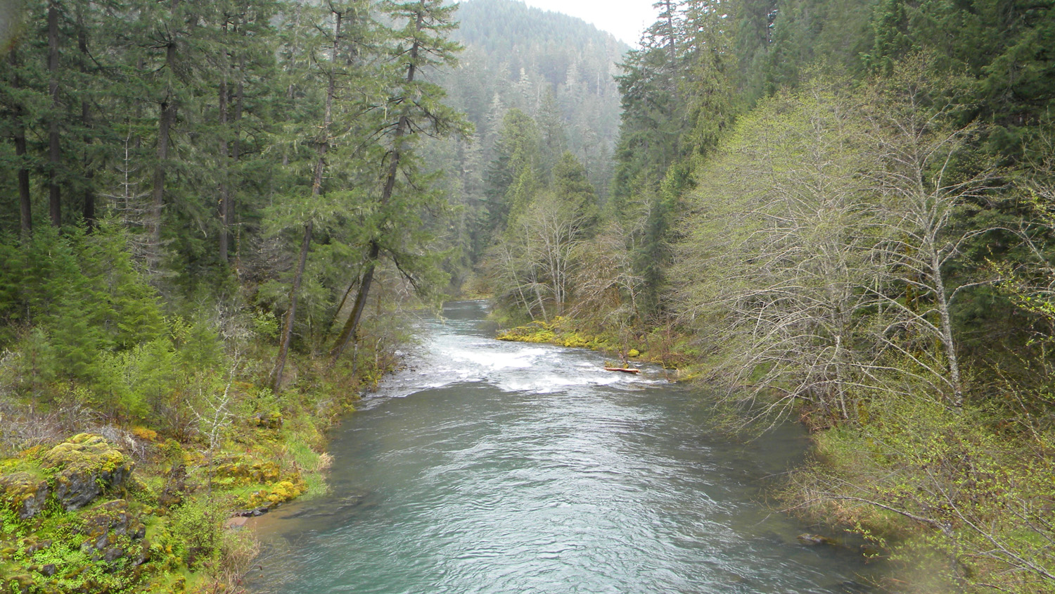
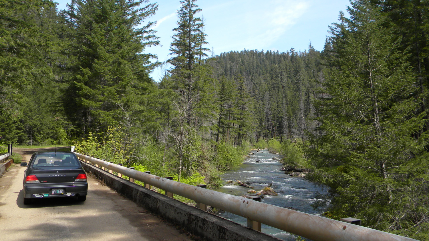
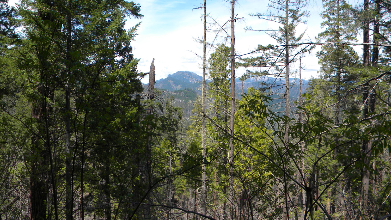
1843_South_Umpqua |
1844_2980_28_Intersection |
1845_2980_28_Intersection |
 |
 |
 |
 |
 |
1847_2980_28_Intersection |
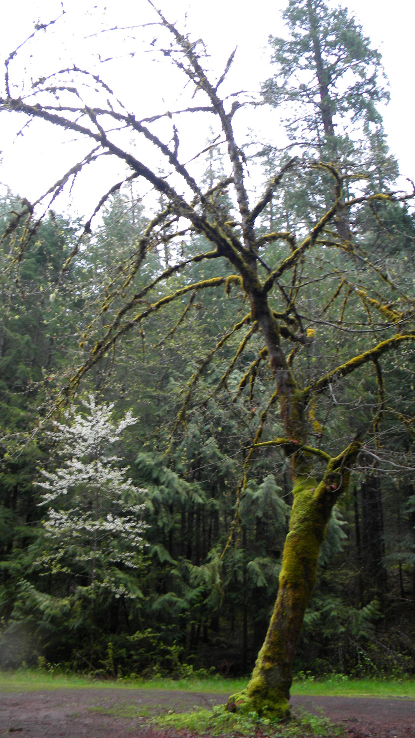
1848_Oak |
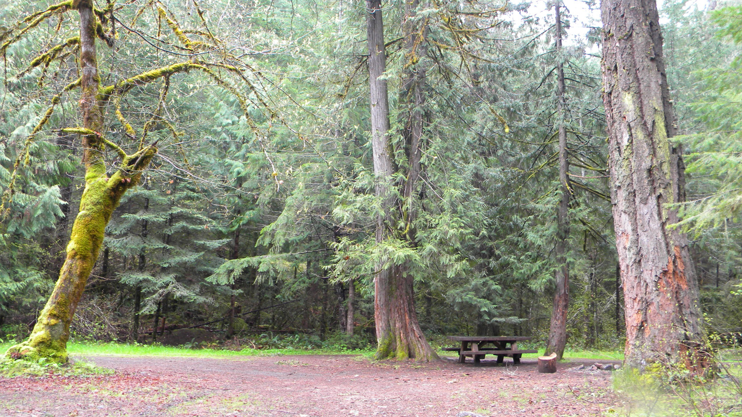
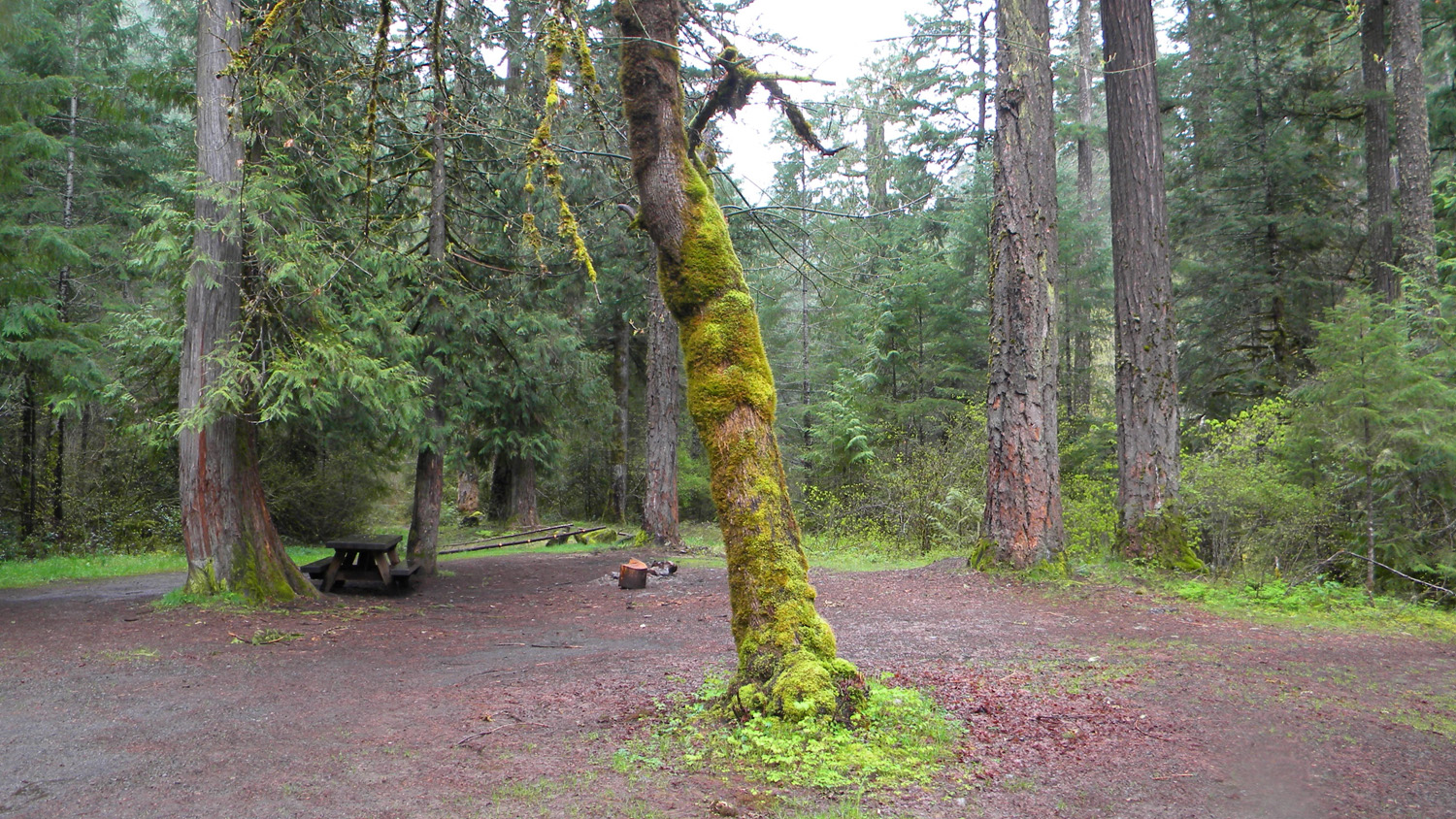
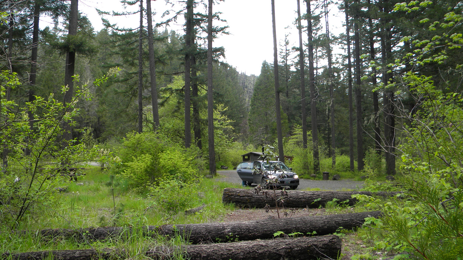
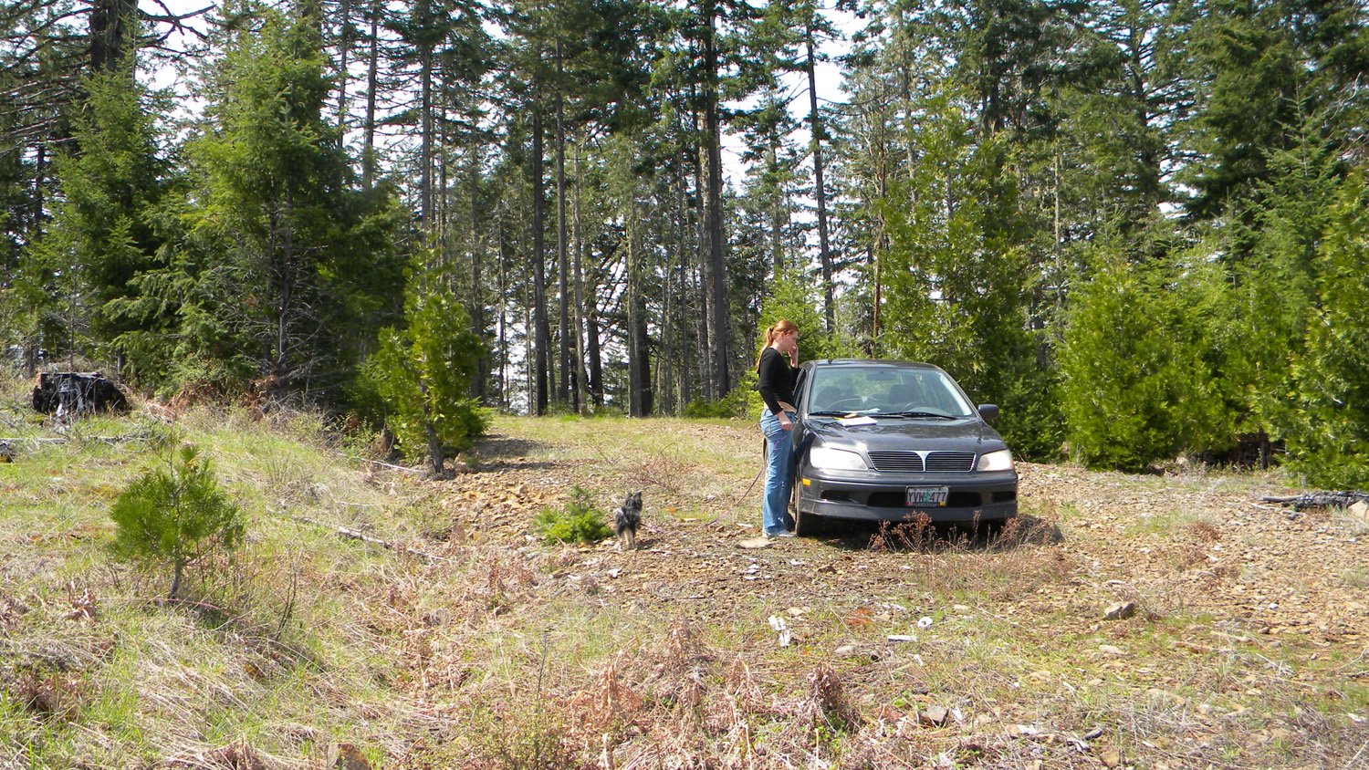
1849_Campground |
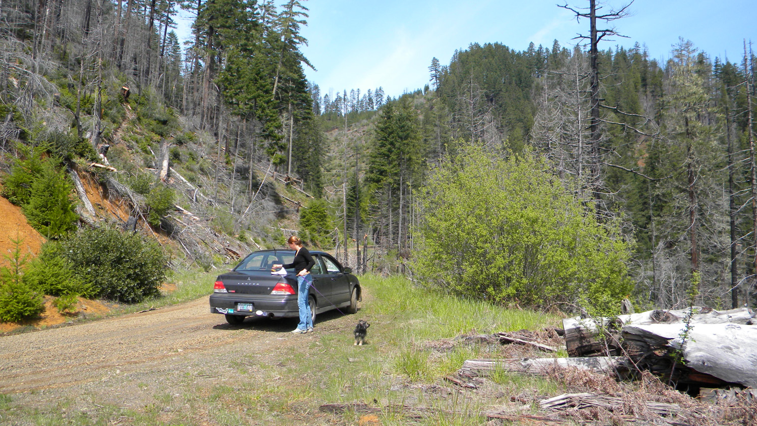
1850_2980_28_Intersection
|
1851_850_Road
|
 |
 |
 |
 |
 |
1852_850_Road |
1854_850_Road_End |
1855_850_Road_End |
1856_850_Road_End |
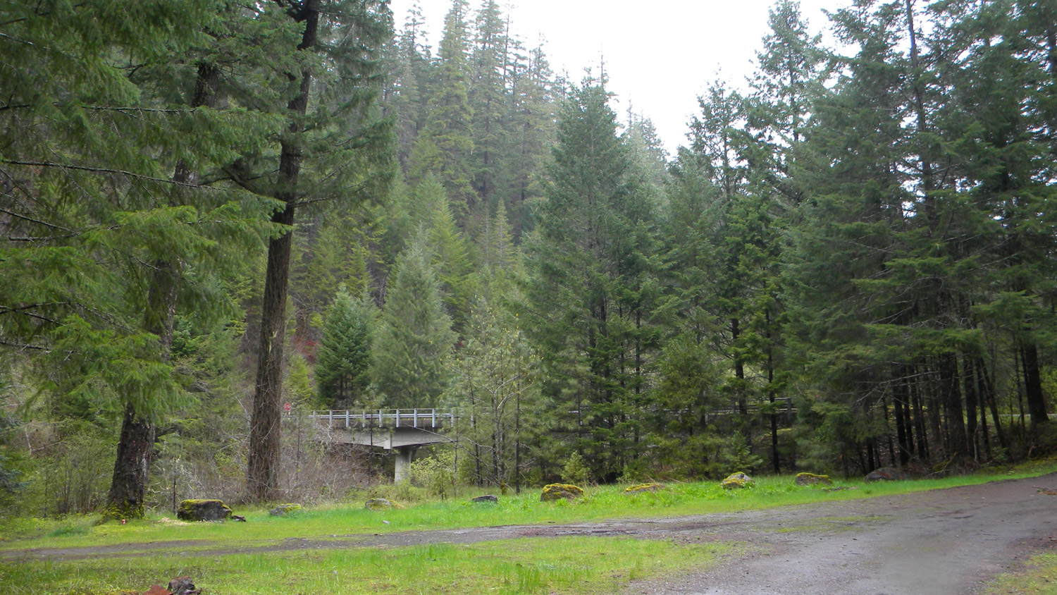
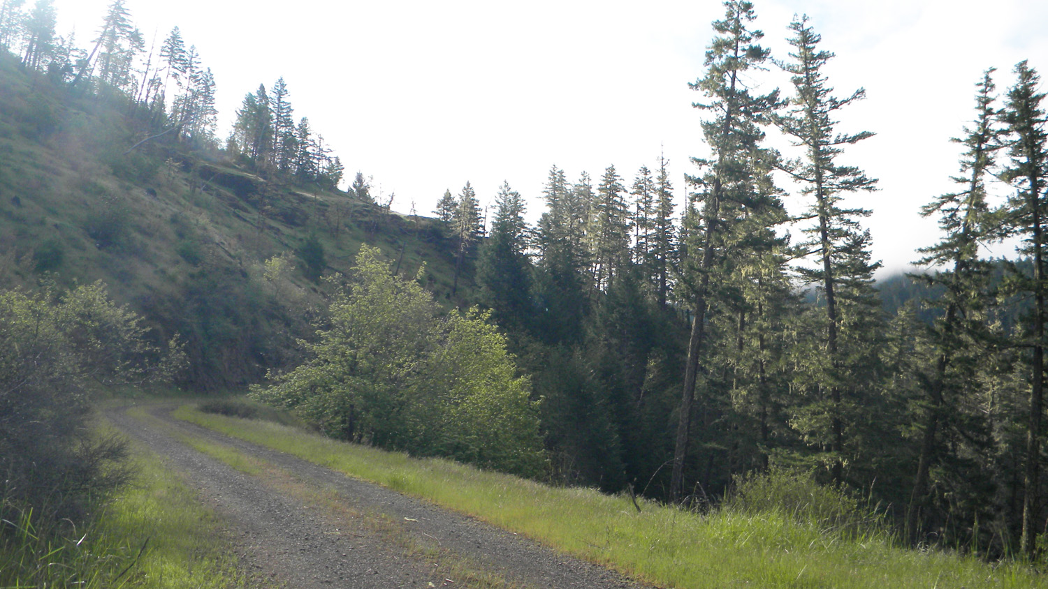
1872_2929_Road |
 |
 |
 |
 |
 |
1874_2929_Road |
1876_2929_Road |
1878_2929_Road |
1879_2929_Road |
1884_501_500_Intersection |
 |
 |
 |
 |
 |
1886_501_Road_Blocked |
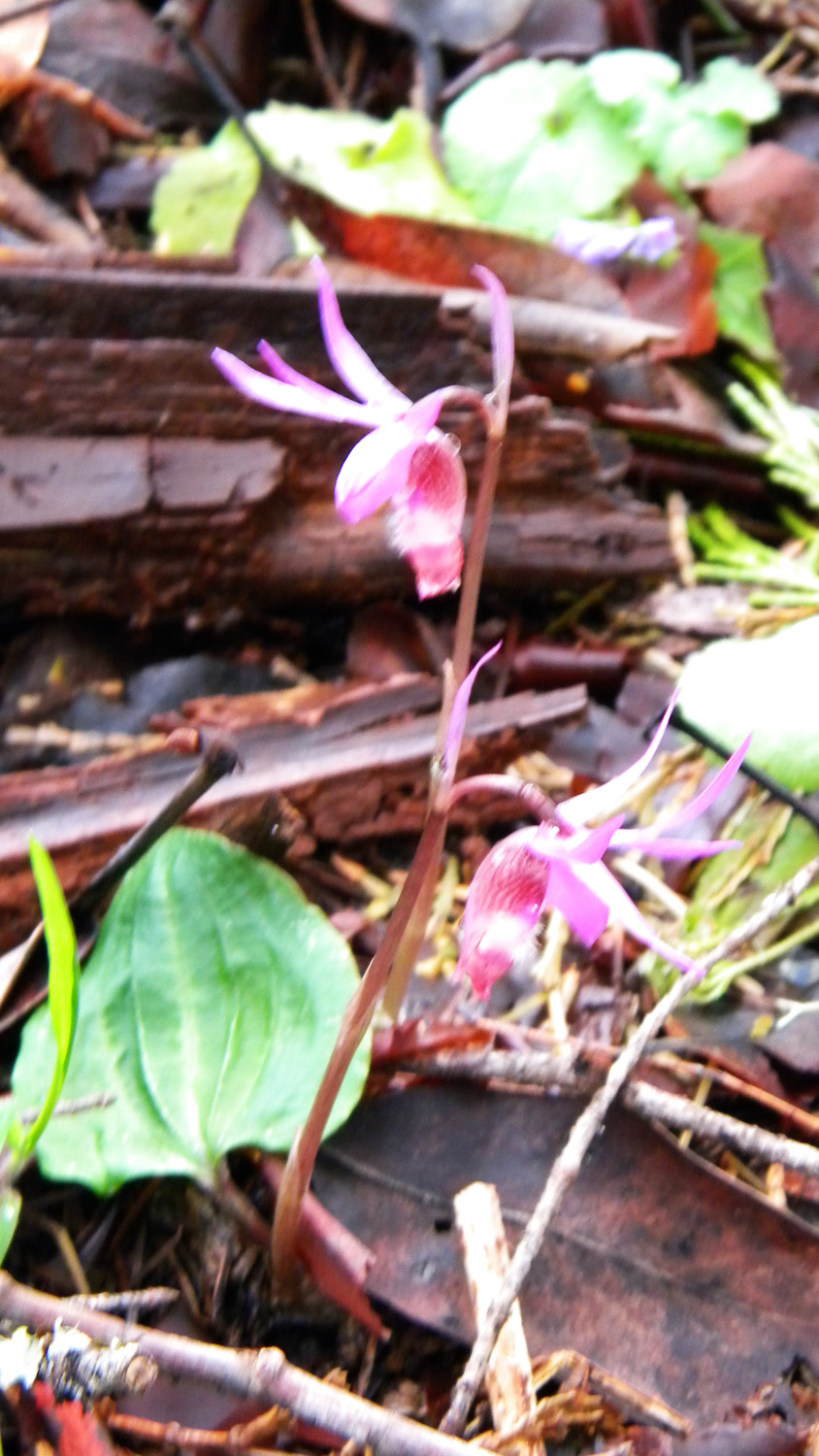
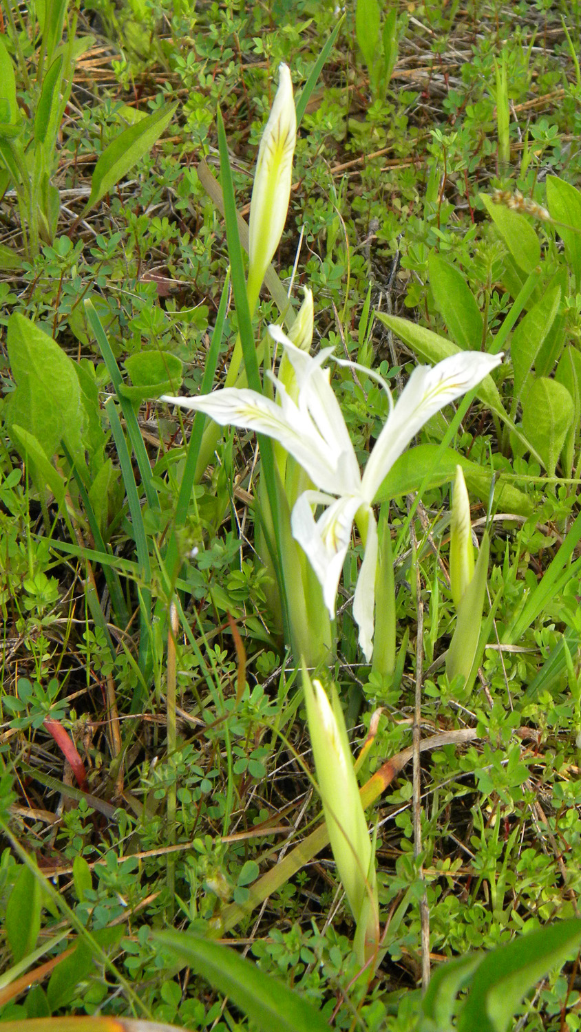
1888_Calypso_Orchid |
1924_625_Road |
1925_620_Road_End |
1926_620_Road |
 |
 |
 |
 |
 |
1927_620_Road_End |
1932_616_Road |
1933_616_Road |
1934_616_Road_Blocked |
1935_616_Road_Blocked |
 |
 |
 |
 |
 |
1936_616_Road_Blocked |
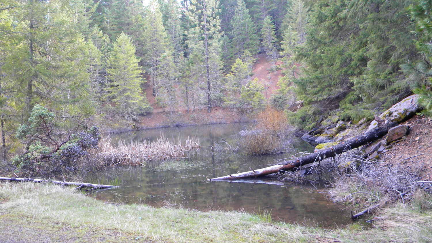
1937_Pond |
1938_Pond |
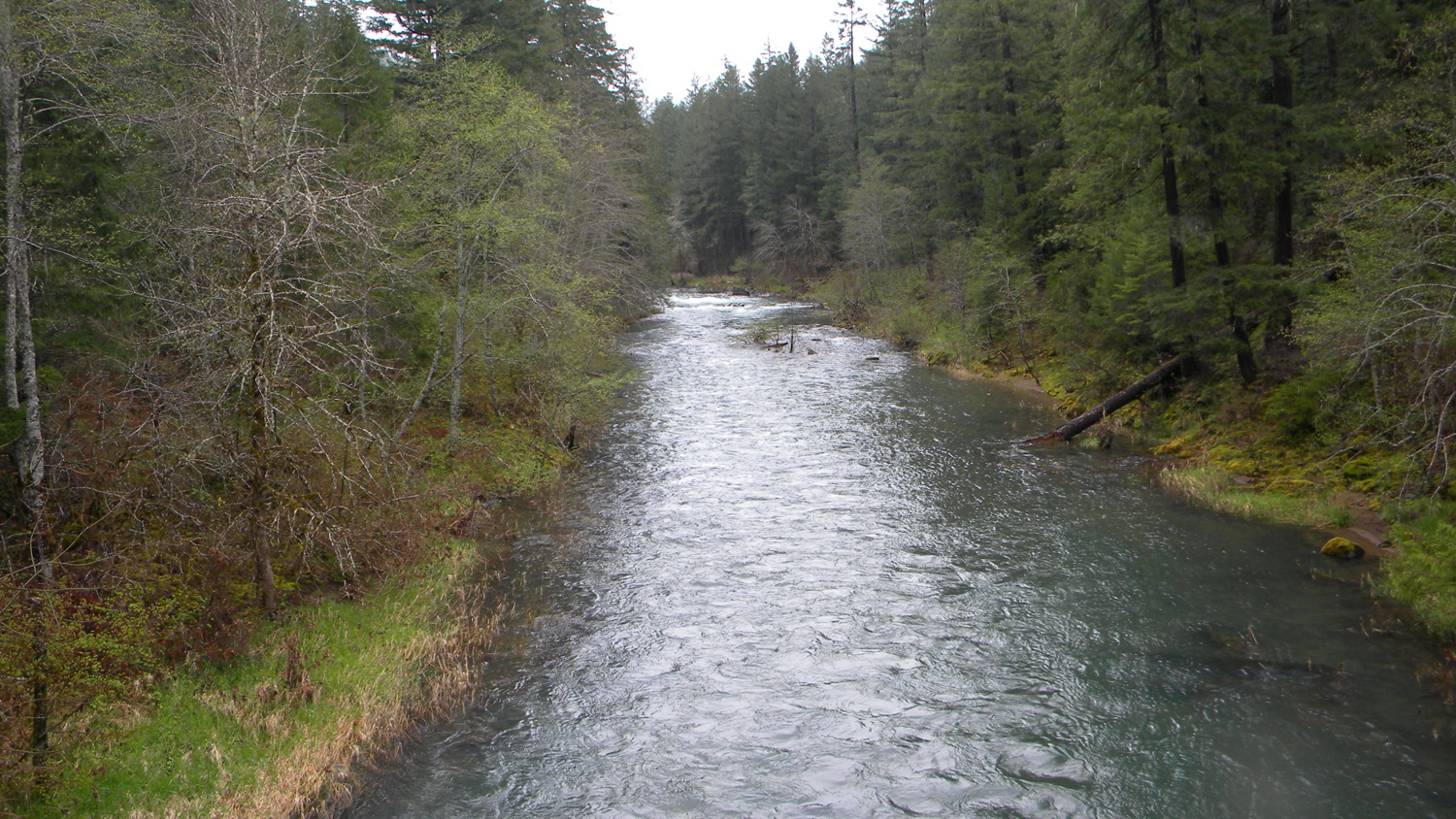
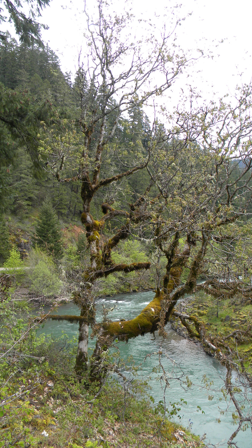
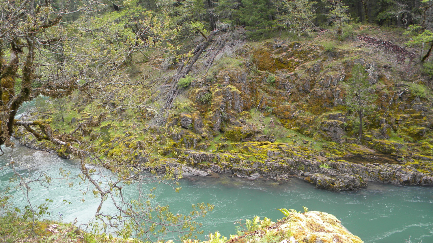
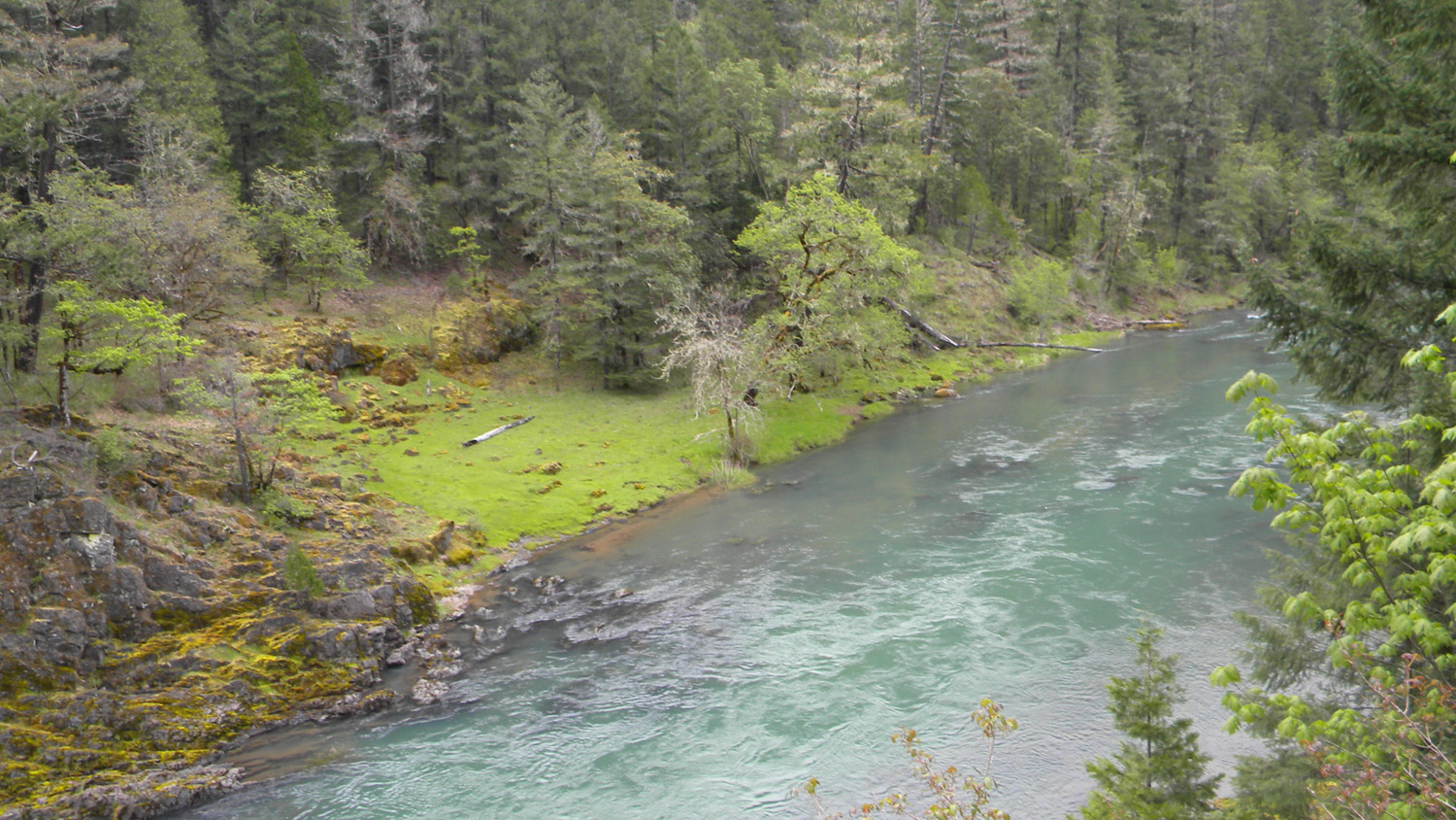
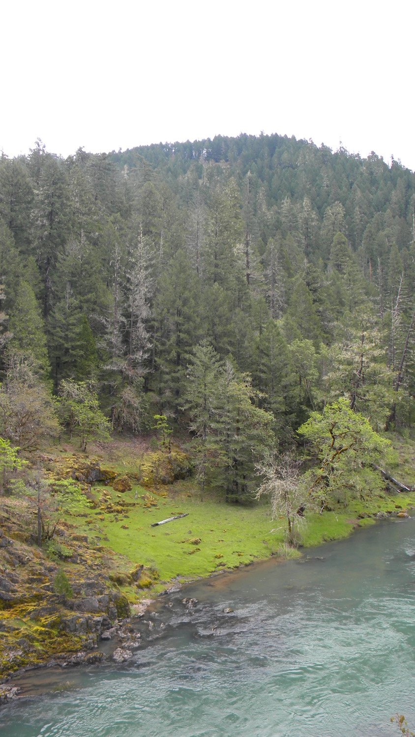
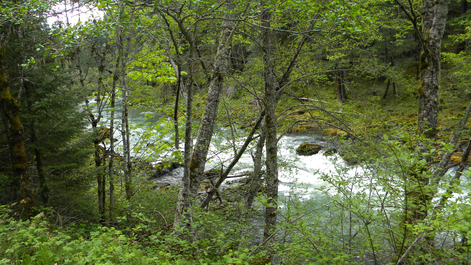
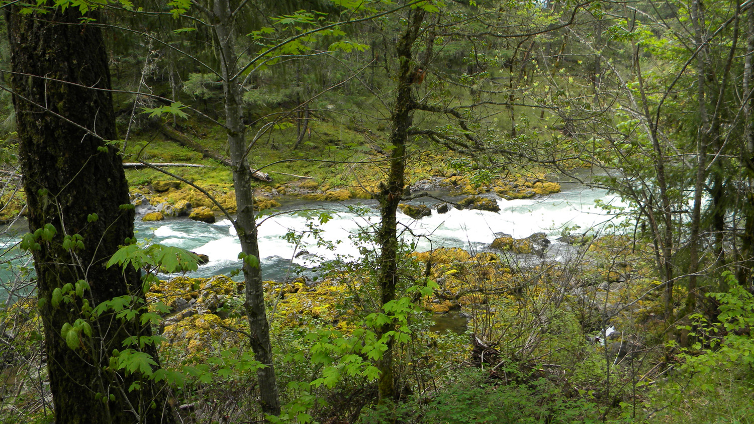
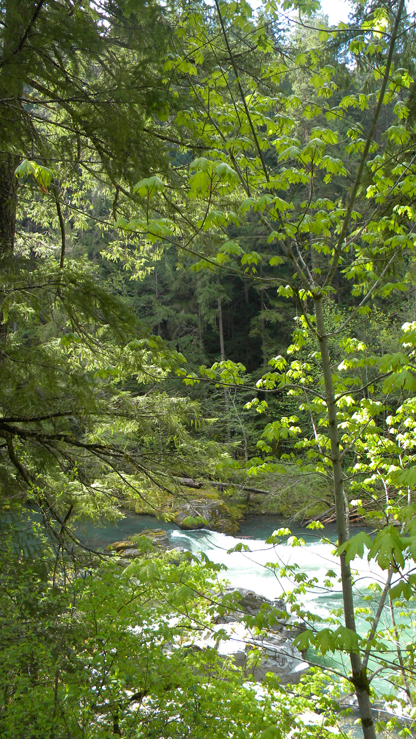
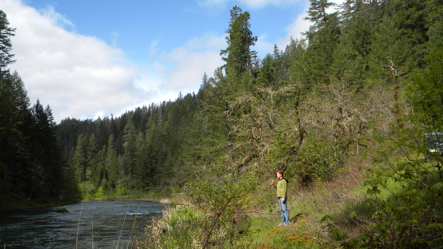
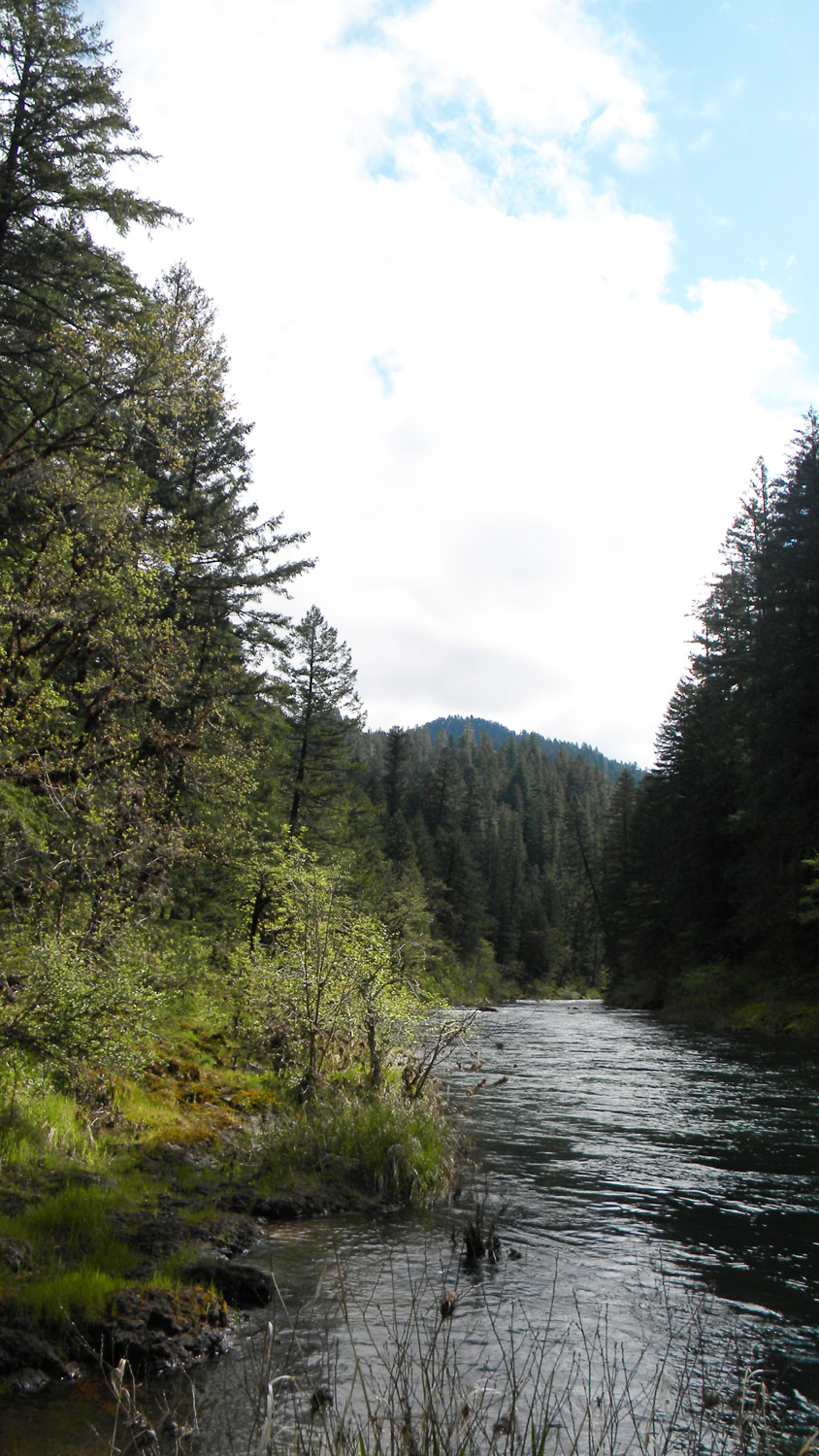
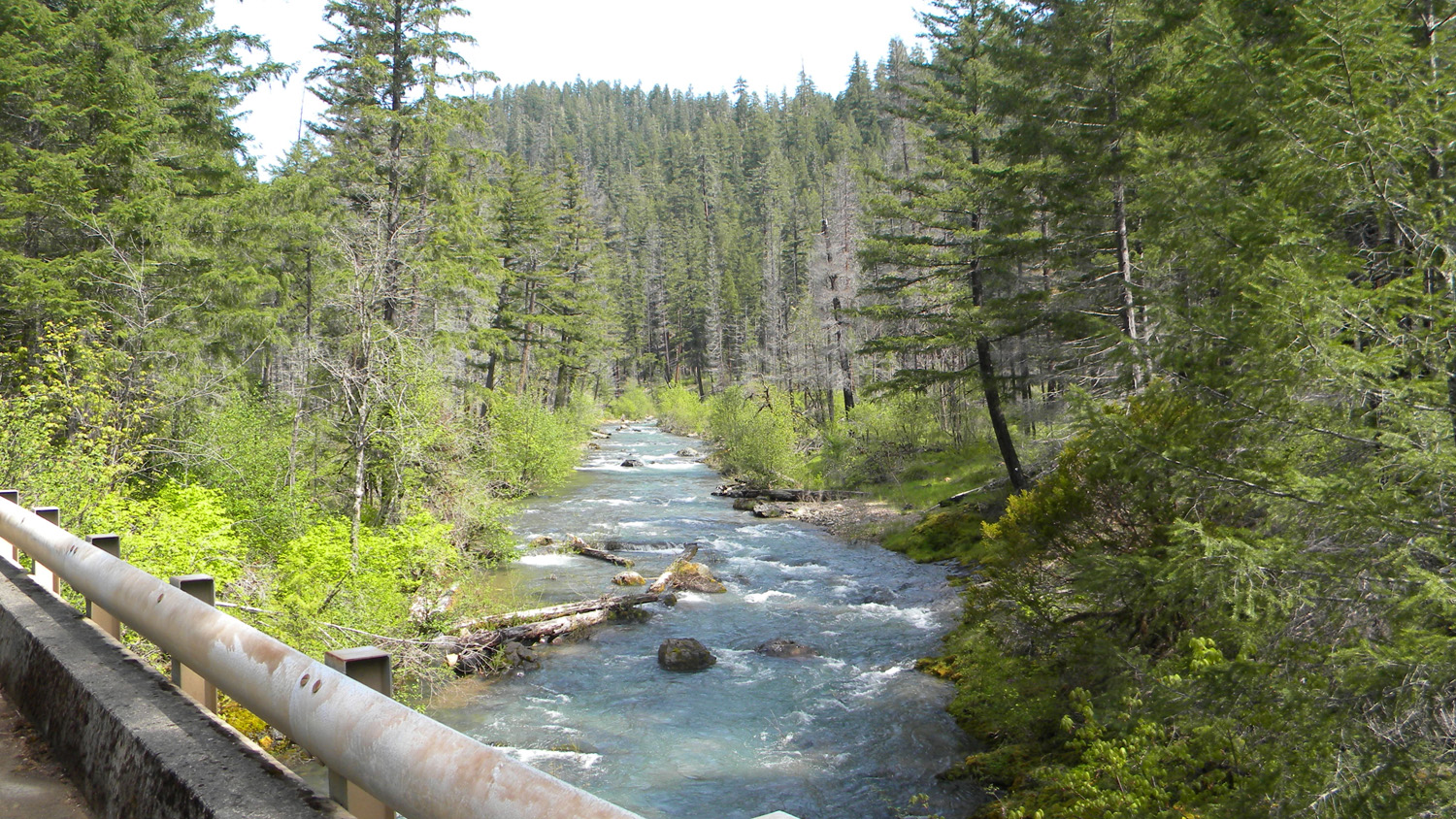
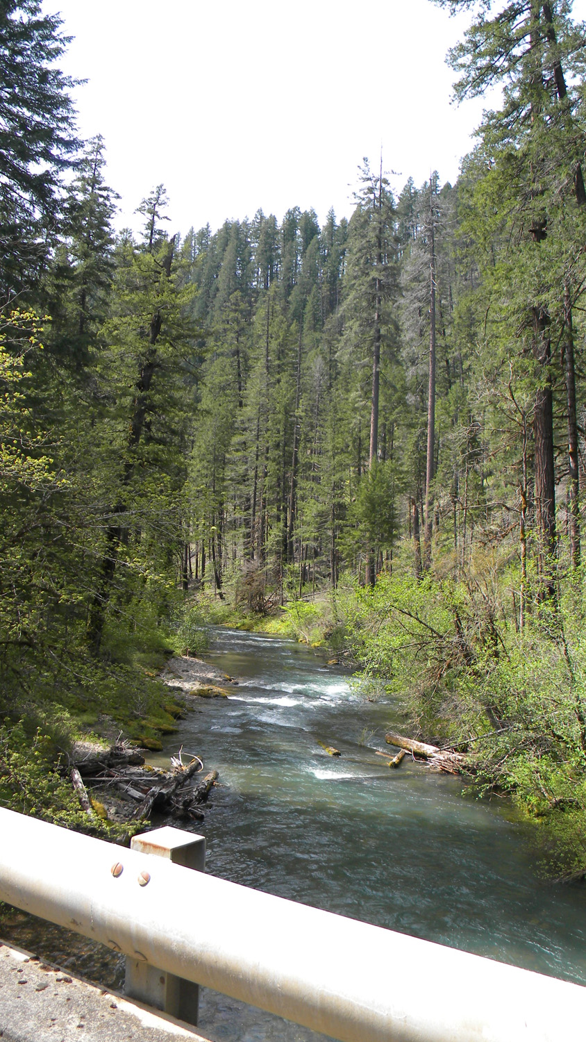
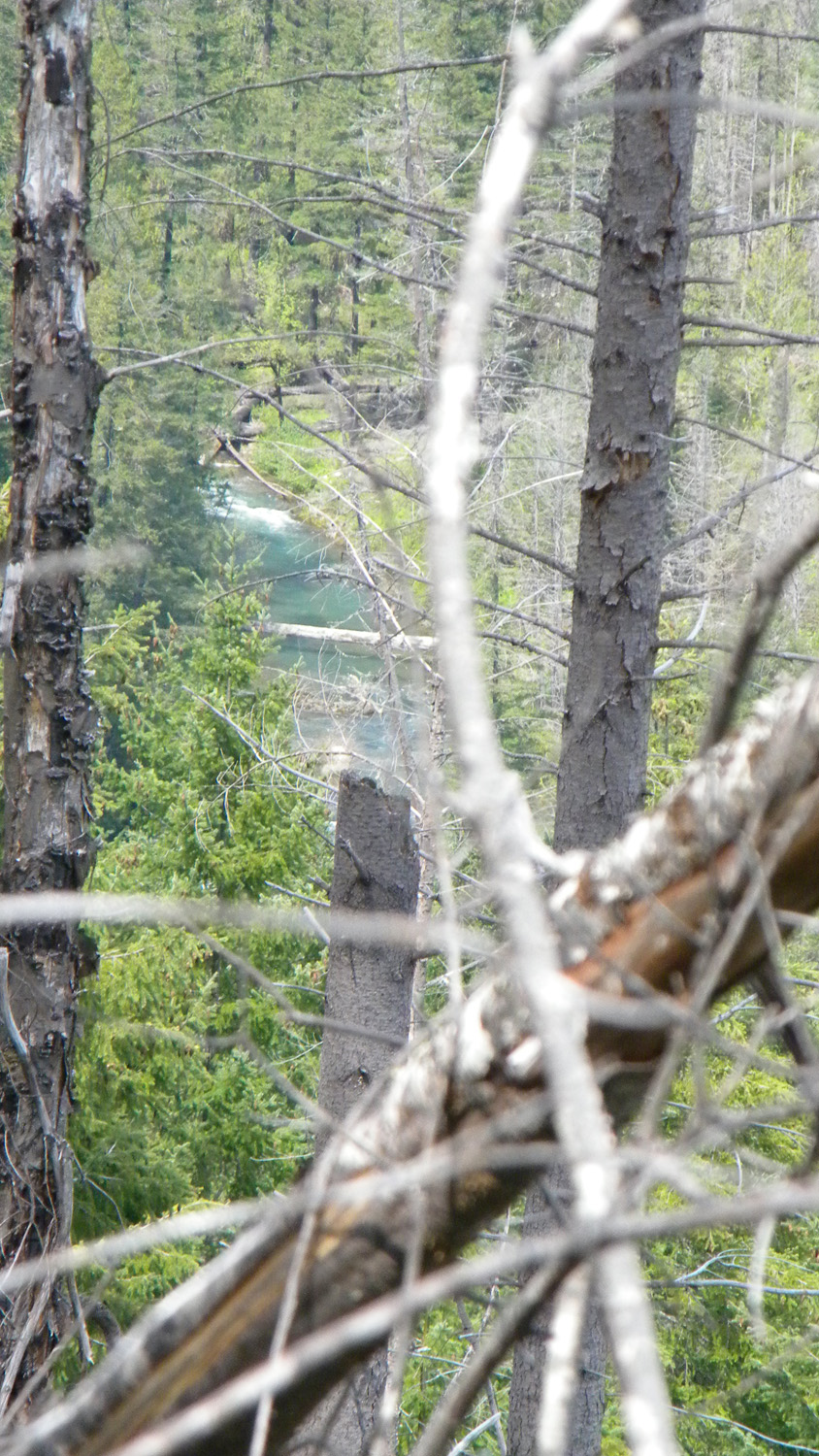
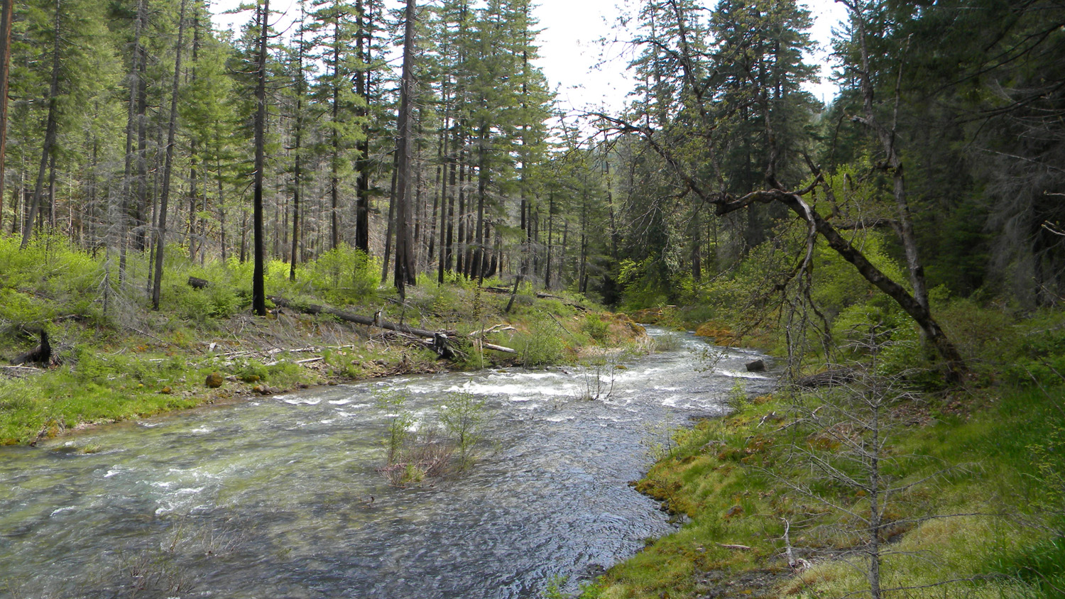
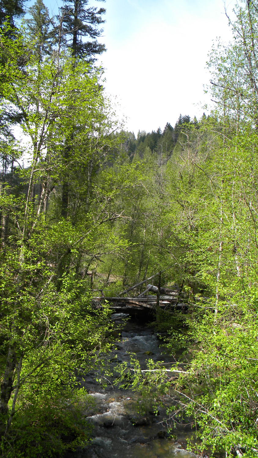
2035_South_Umpqua |
2036_South_Umpqua |
 |
 |
 |
 |
 |
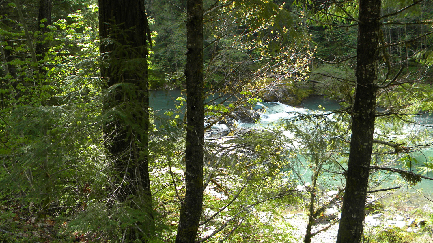
2037_South_Umpqua |
2038_South_Umpqua |
2039_South_Umpqua |
2040_South_Umpqua |
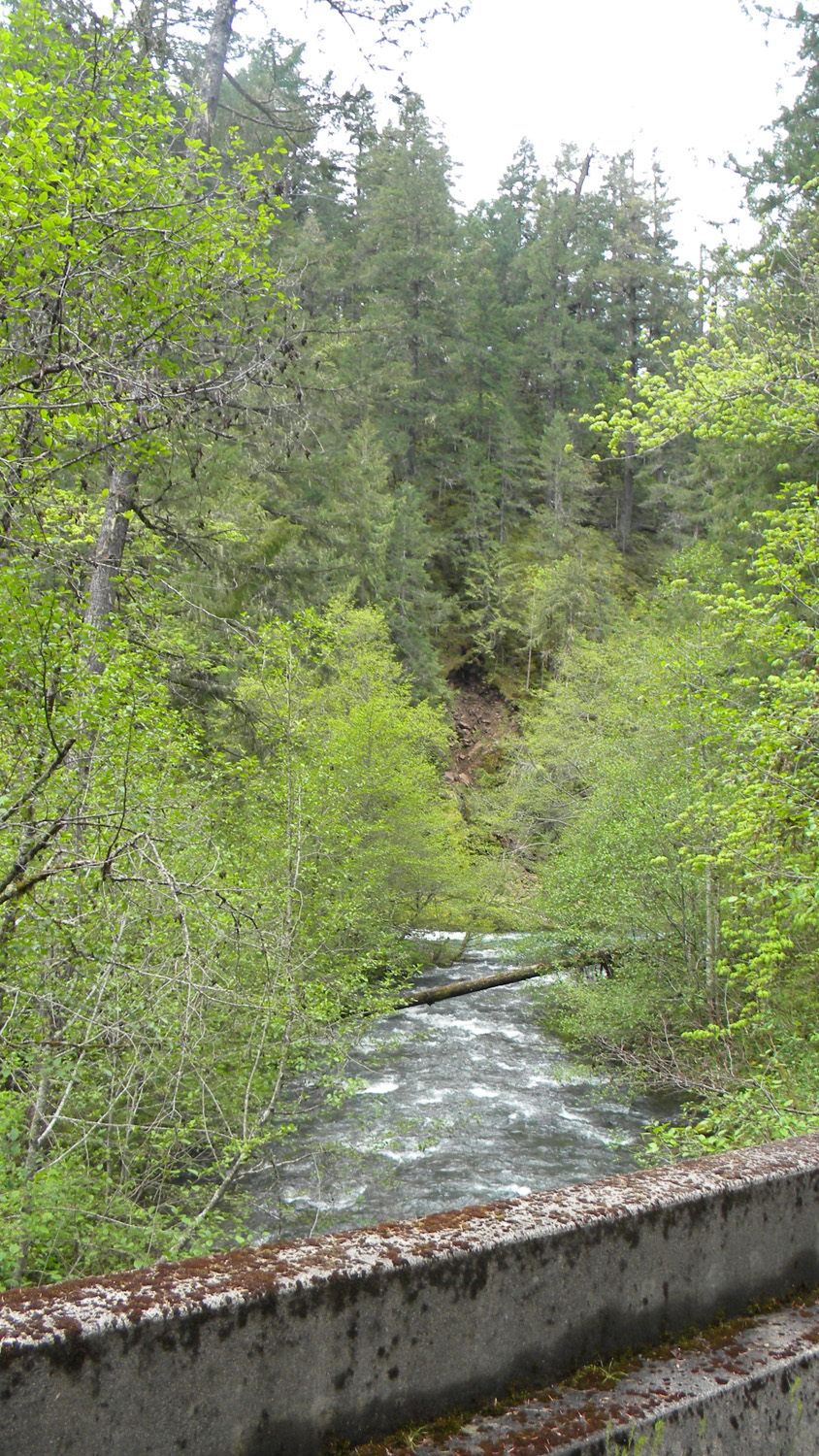
2041_Dumont_Creek |
 |
 |
 |
 |
 |
2042_Dumont_Creek |
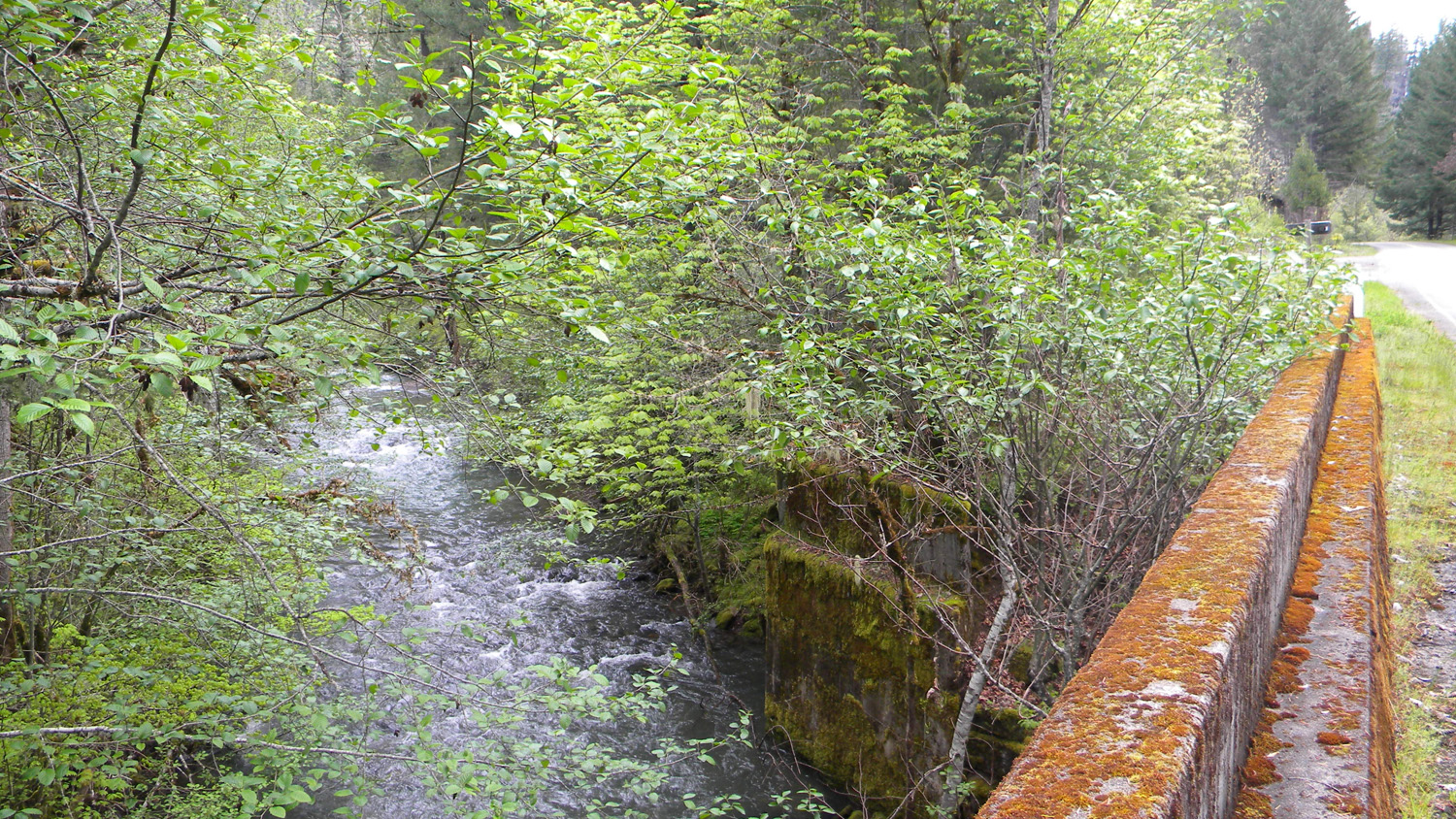
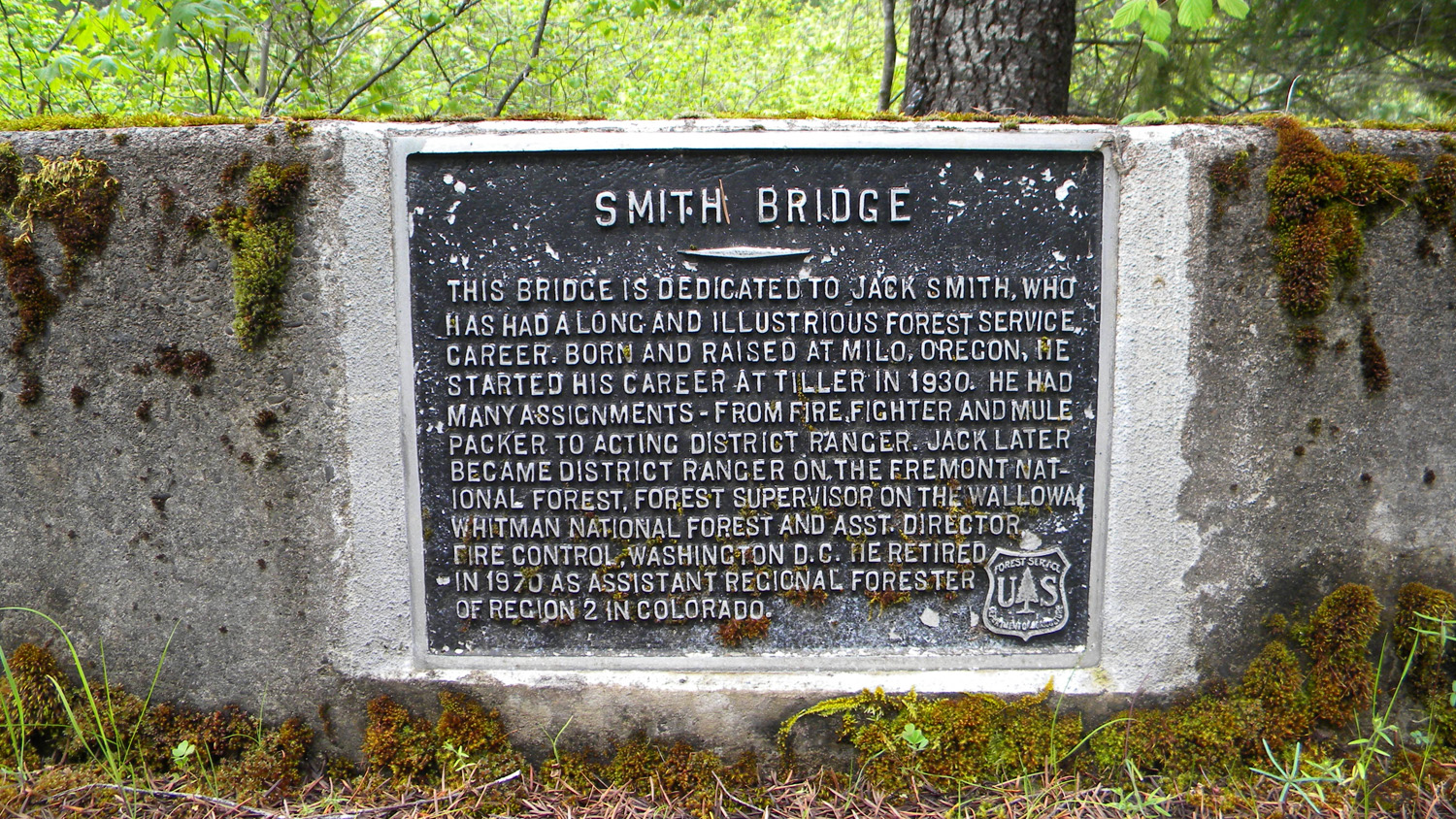
2043_Smith_Bridge_Sign |
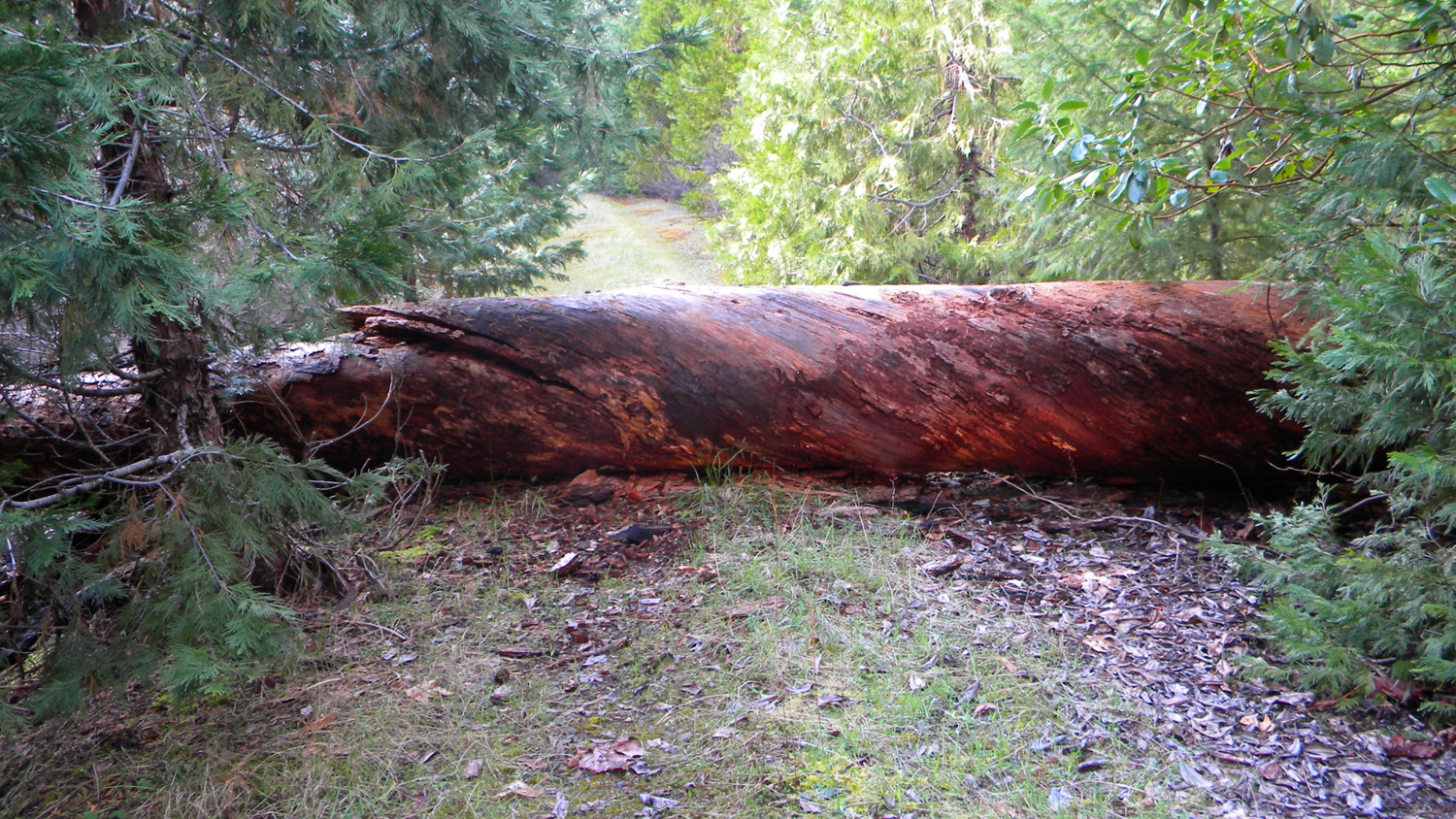
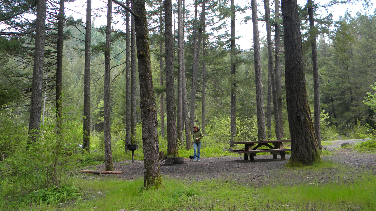
2044_Campground_Logs |
2045_Dumont_Creek |
2046_100_Road |
 |
 |
 |
 |
 |
2047_White_Flags |
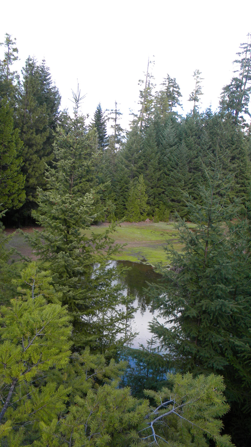
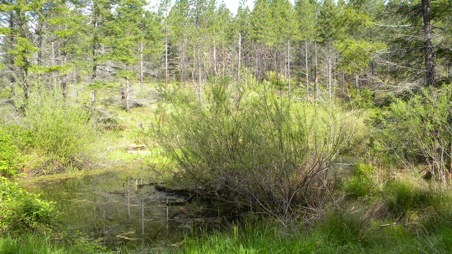
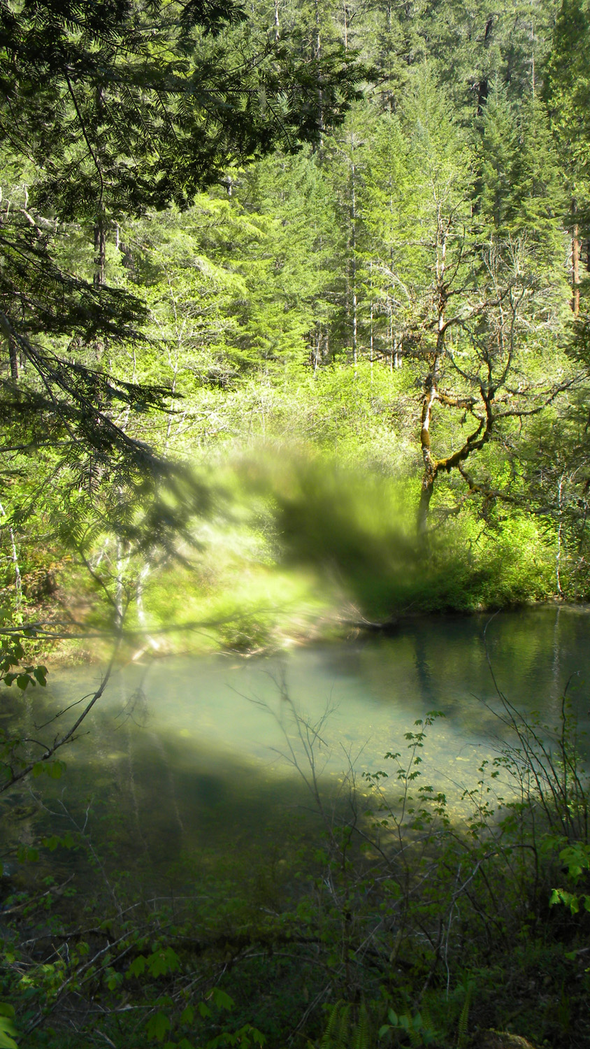
2049_Pond |
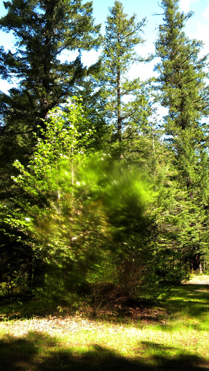
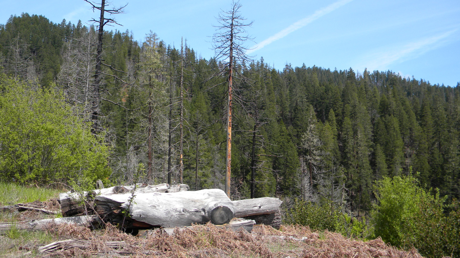
2050_Douglas-Fir |
2057_Douglas-Fir |
2061_Clayton_Point |
 |
 |
 |
 |
 |
2062_Pond |
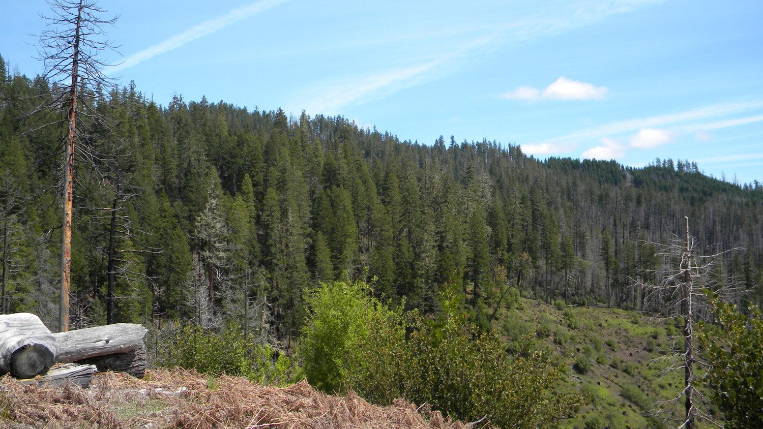
2064_100_Road_View |
2065_100_Road_View |
2066_100_Road_View |
2067_Douglas-Fir_Vortex |
 |
 |
 |
 |
 |
2068_100_Road_Blocked |
2069_South_Umpqua |
2070_South_Umpqua |
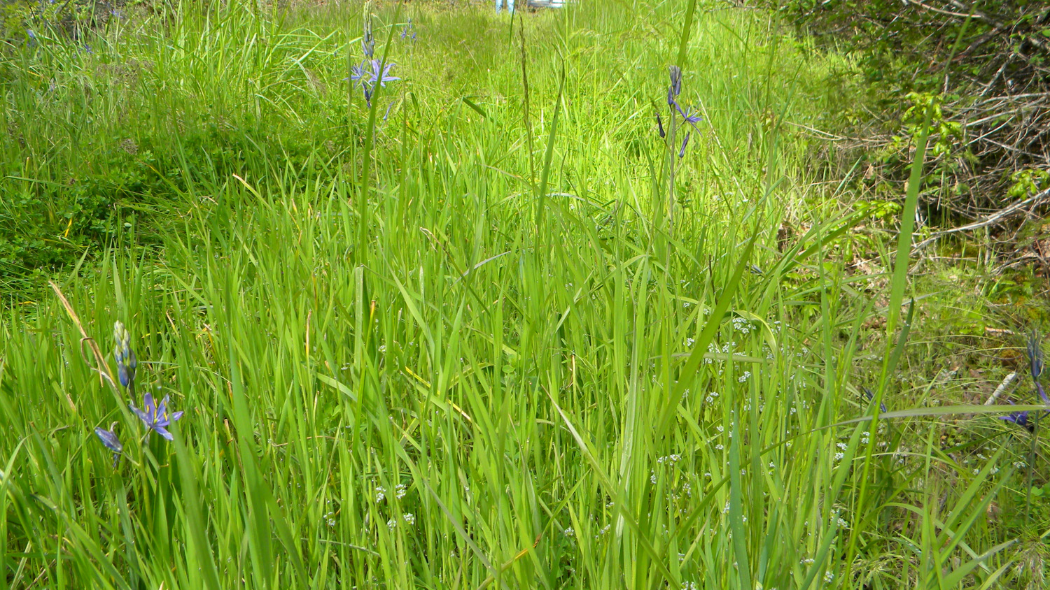
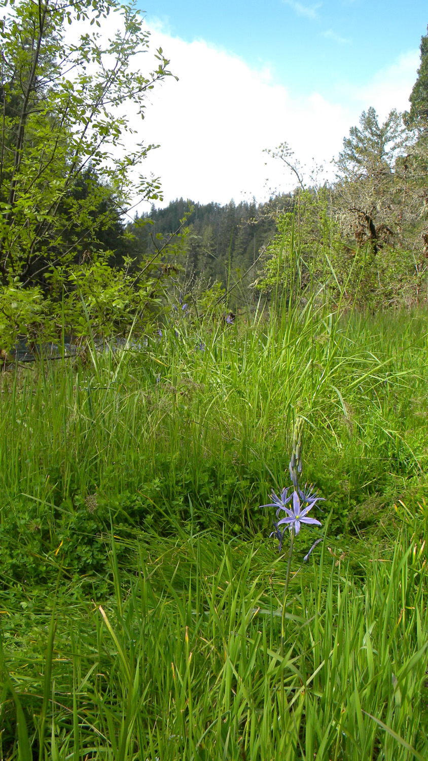
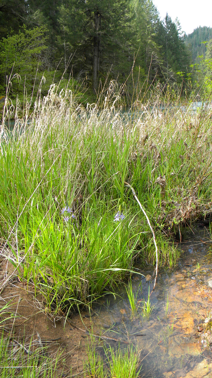
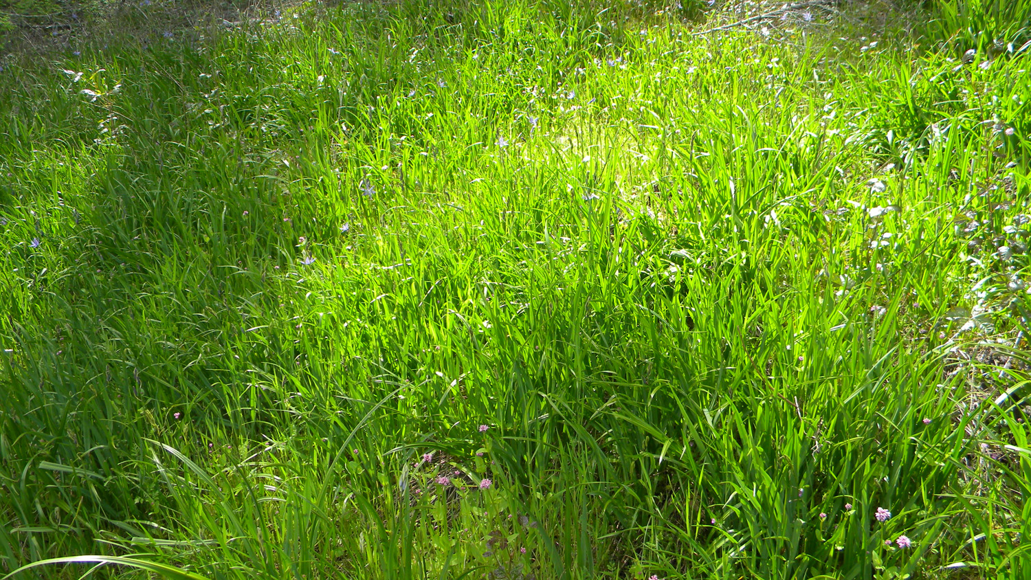
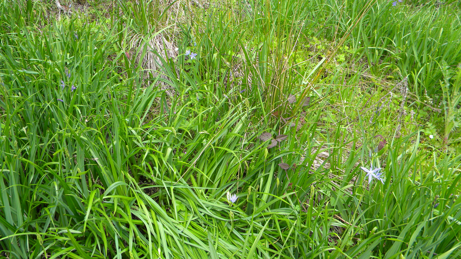
2071_Camas |
2072_Camas |
 |
 |
 |
 |
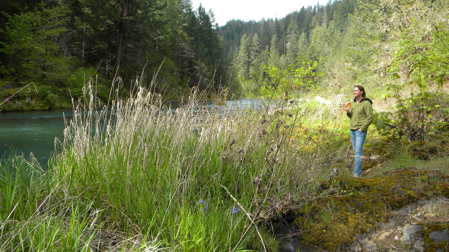 |
2073_Camas |
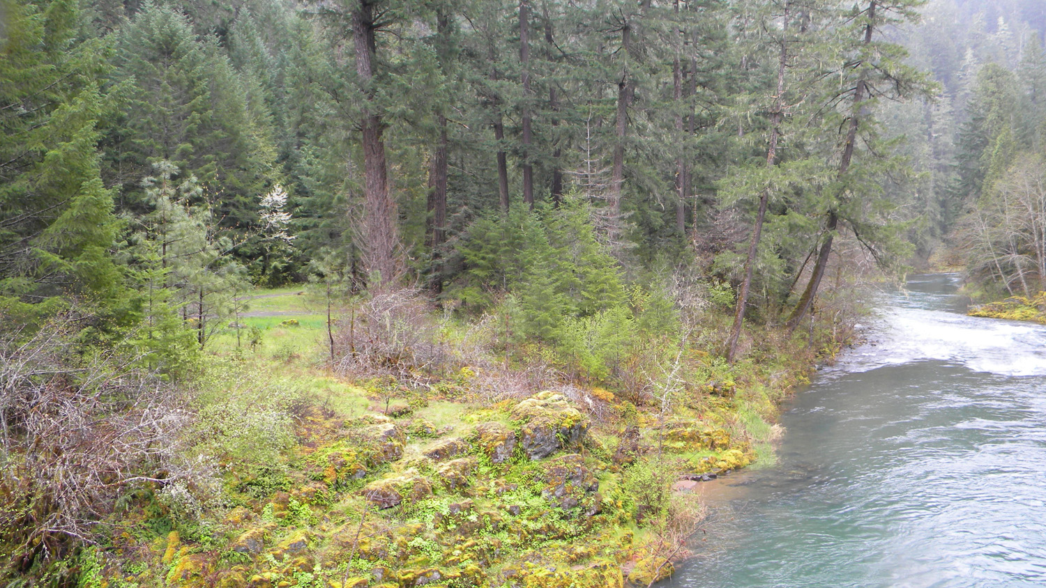
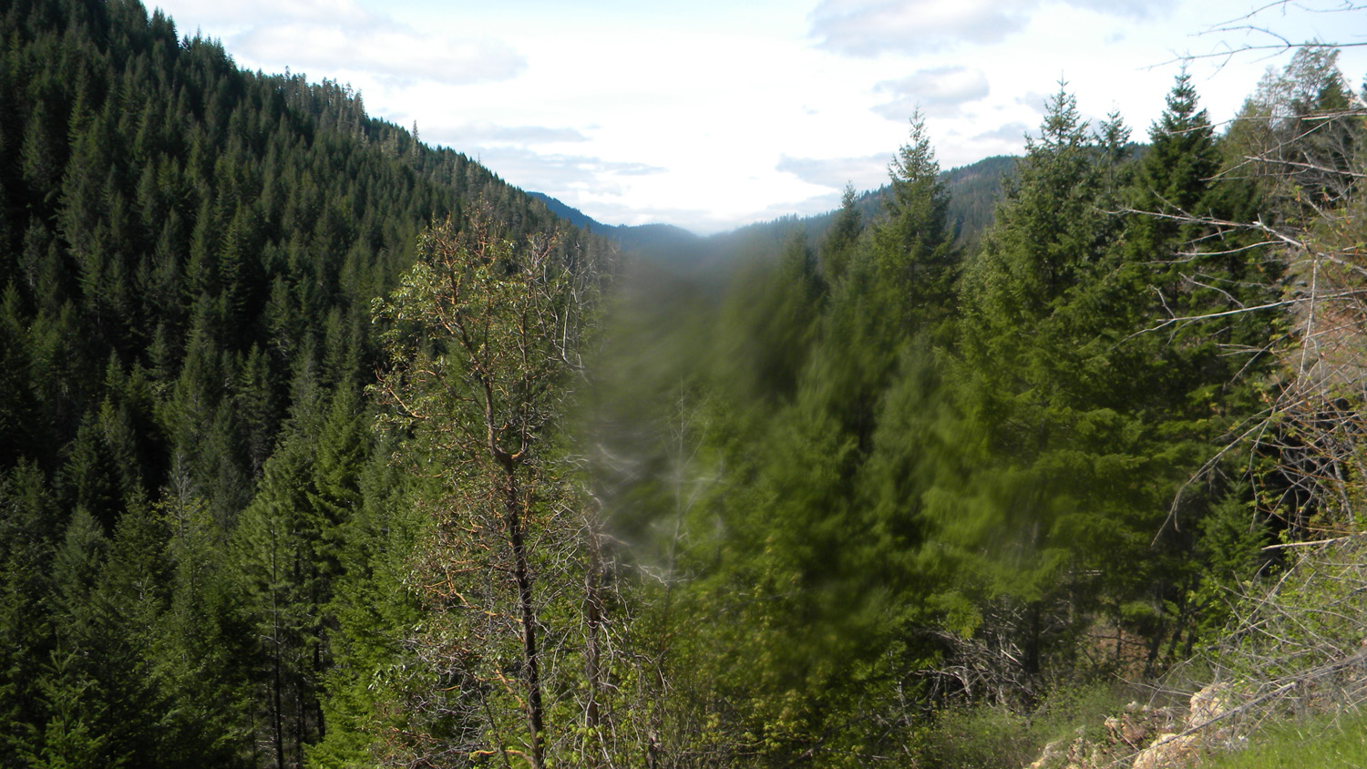
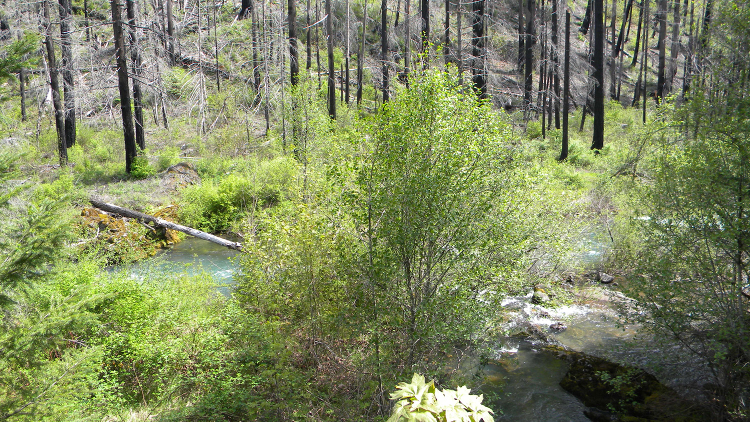
2074_Boulder_Creek |
2075_Boulder_Creek |
2076_South_Umpqua |
2077_Camas |
 |
 |
 |
 |
 |
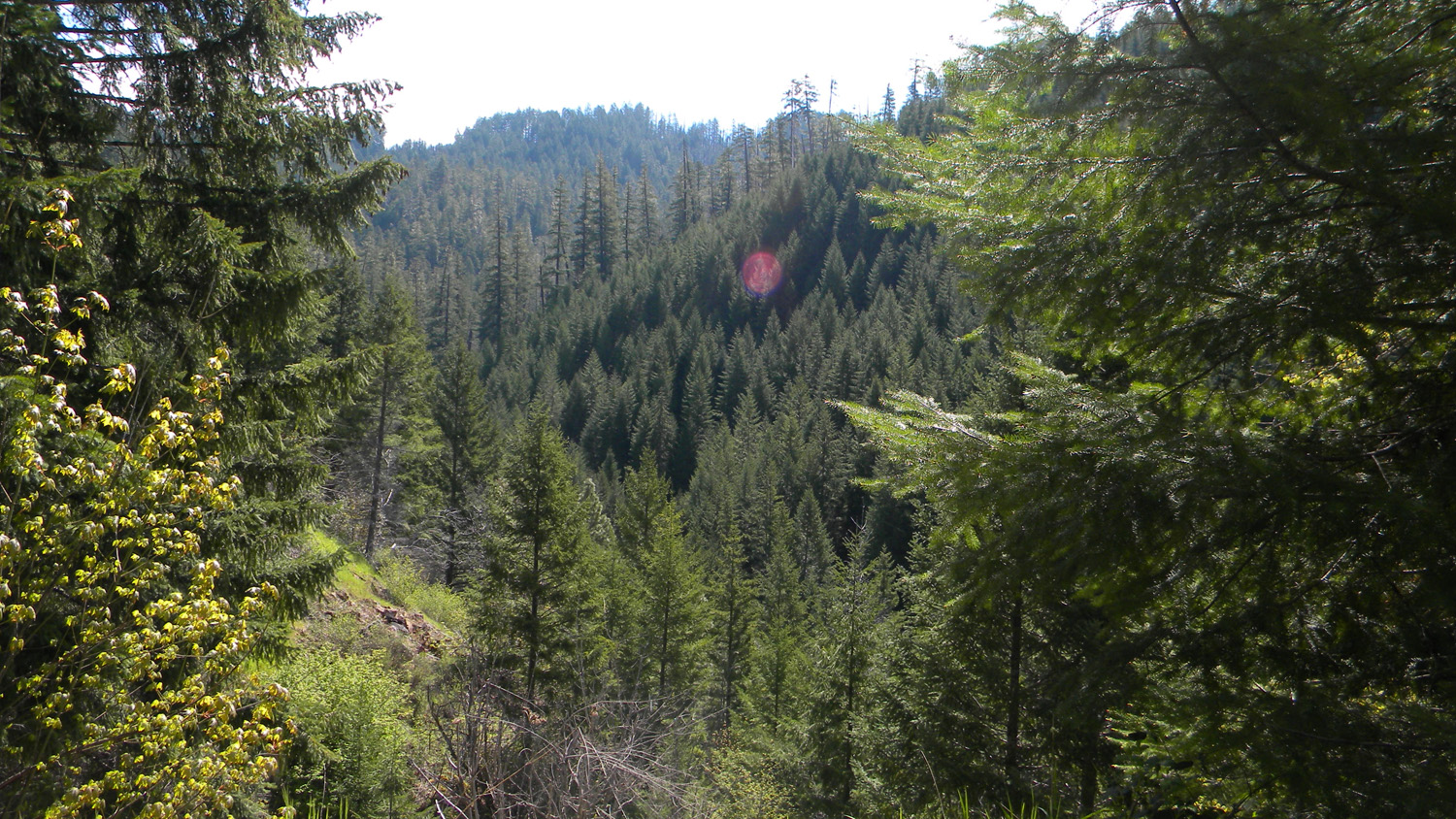
2078_Boulder_Creek |
2079_Boulder_Creek |
2080_Dogwood |
2081_Boulder_Creek |
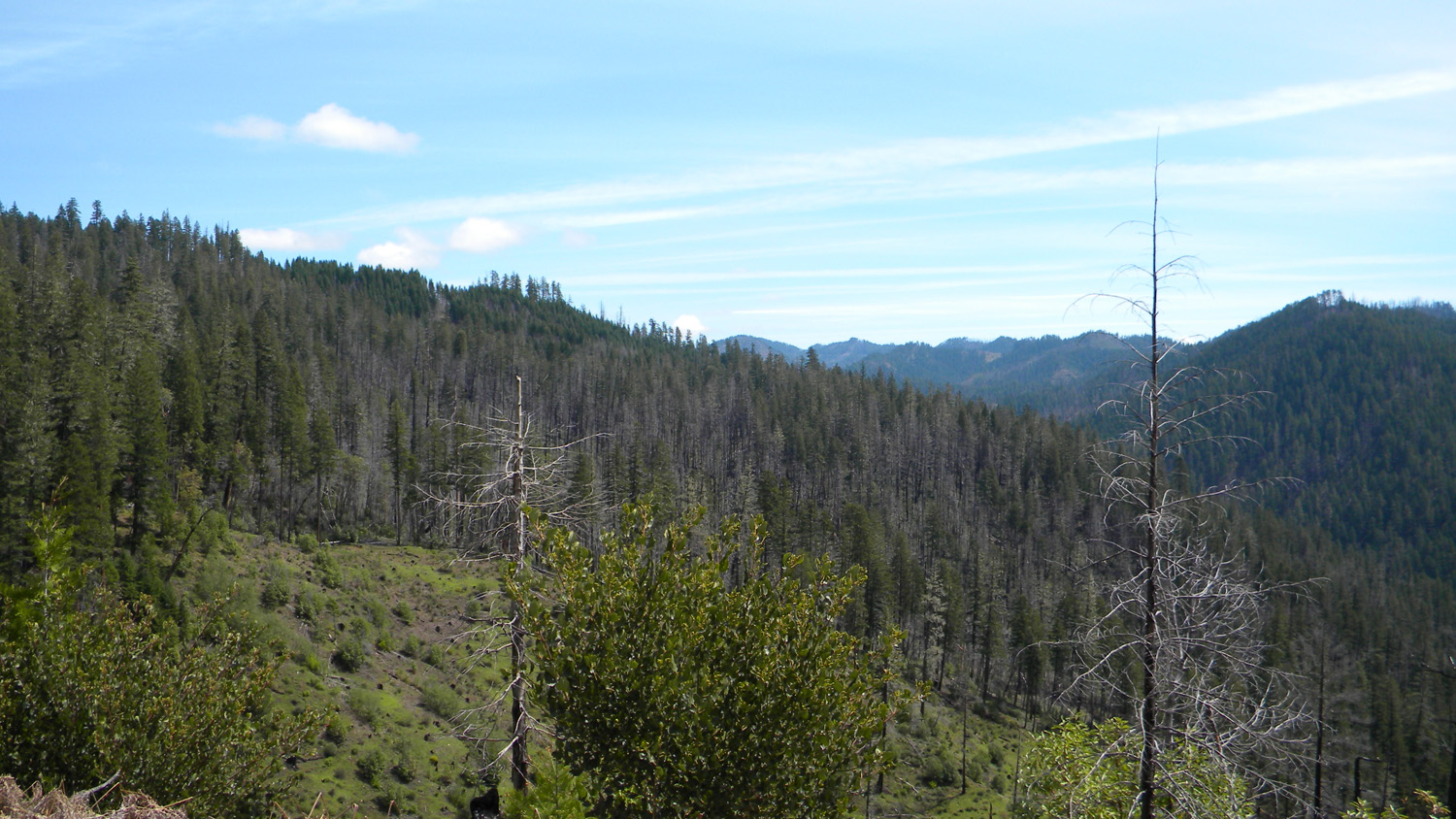
2082_900_Road_View |
 |
 |
 |
 |
 |
2084_900_Road_View |
2085_900_Road_View |
2086_900_Road_View |
2087_900_Road_View |
2088_900_Road |
 |
 |
 |
 |
 |
2089_900_Road_View |
2090_900_Road |
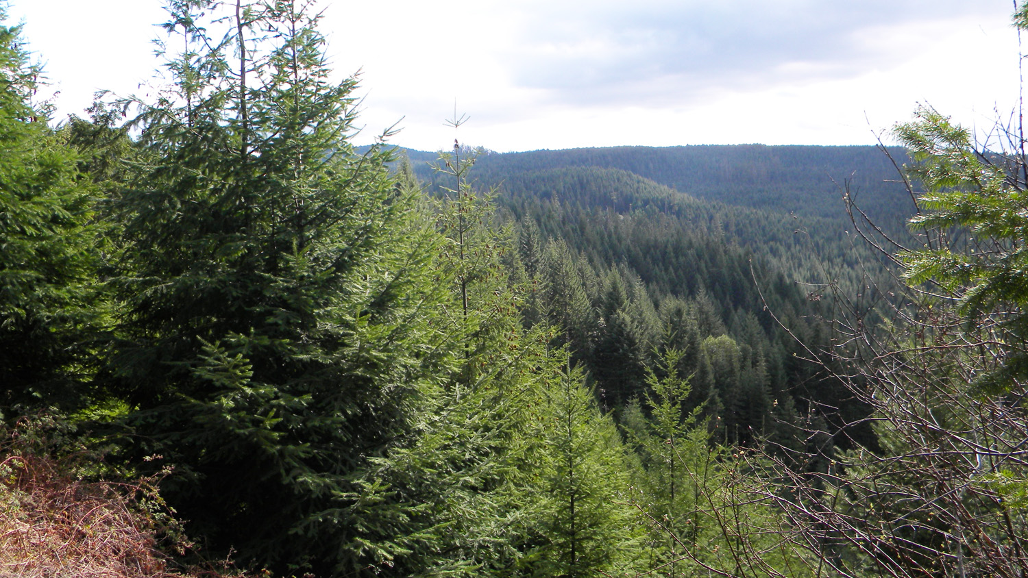
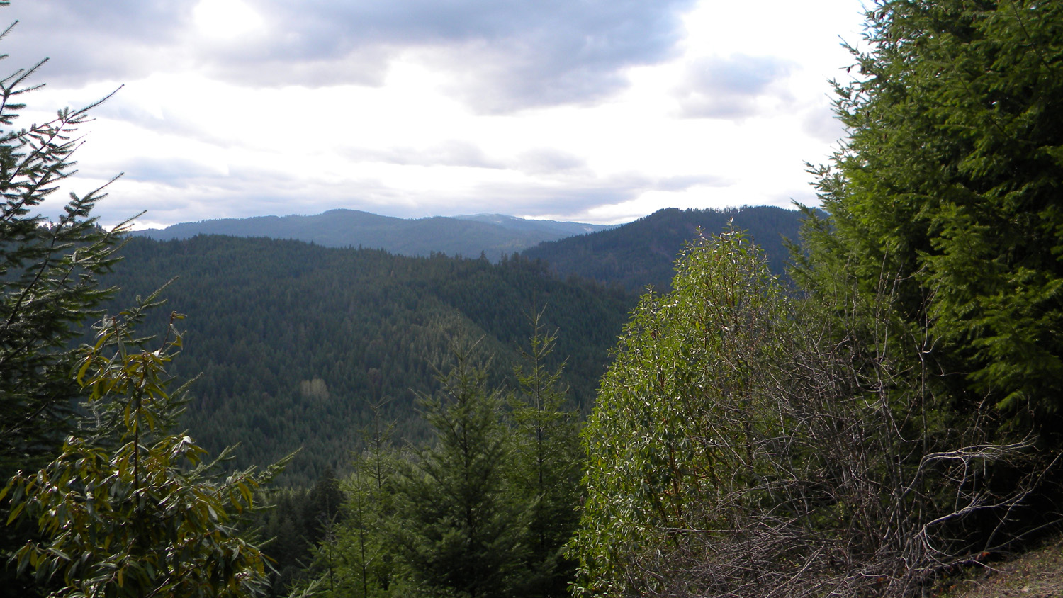
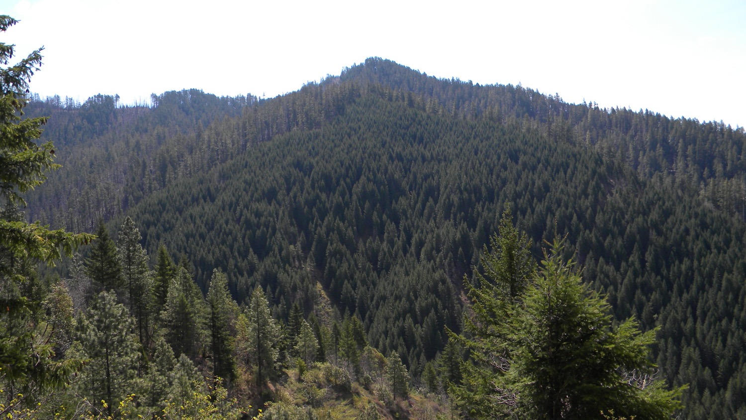
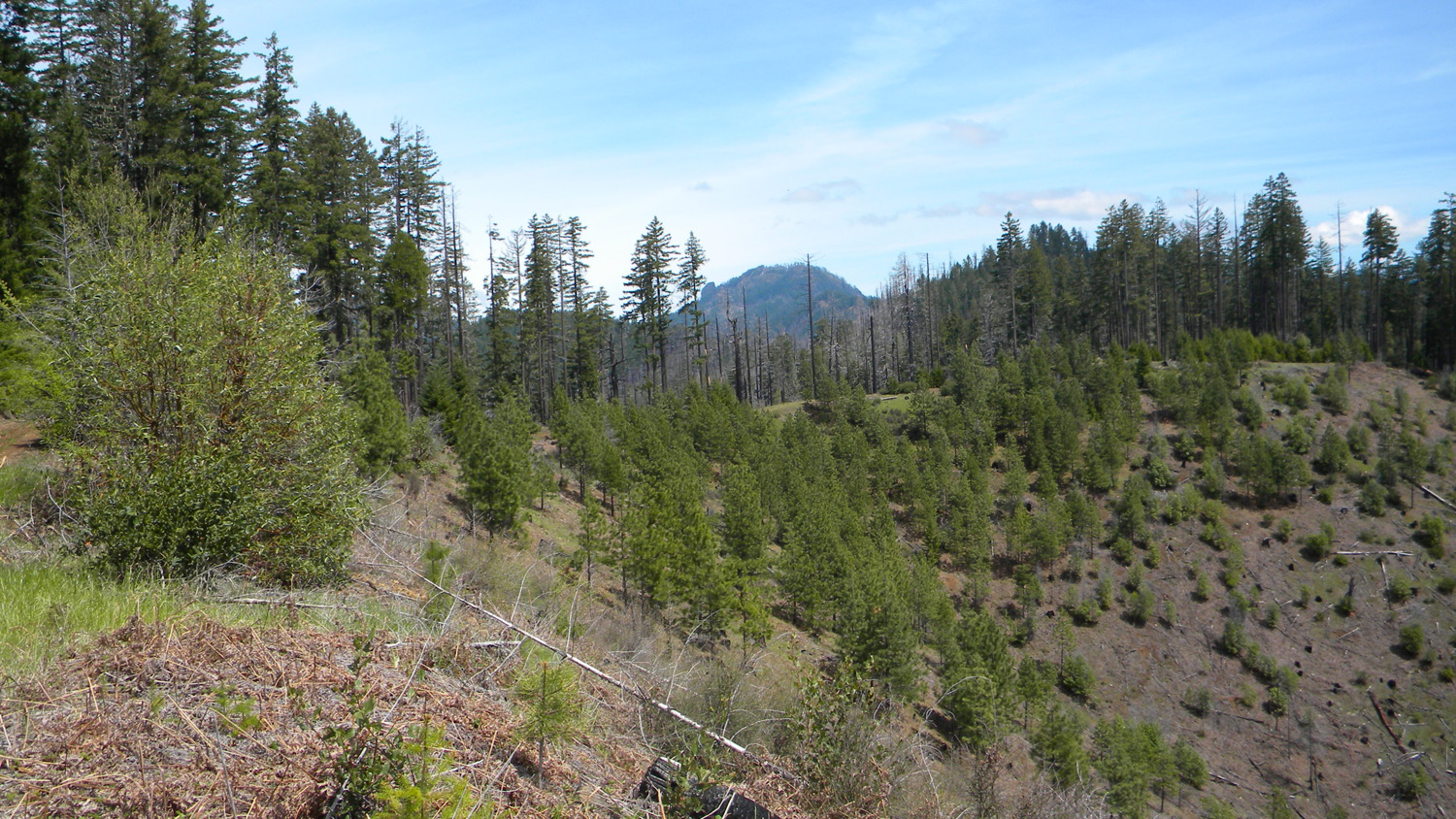
2091_Subbasins |
2092_900_Road_View |
2093_900_Road_View |
 |
 |
 |
 |
 |
2094_900_Road_View |
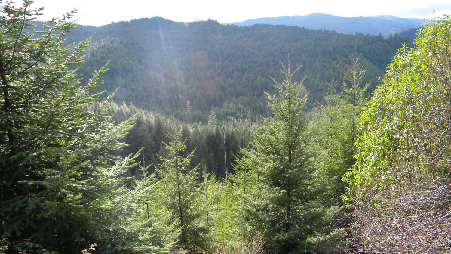
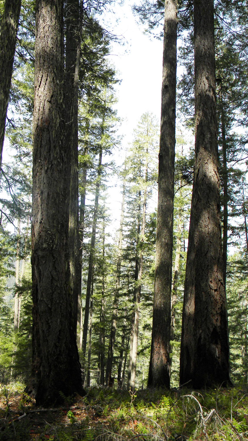
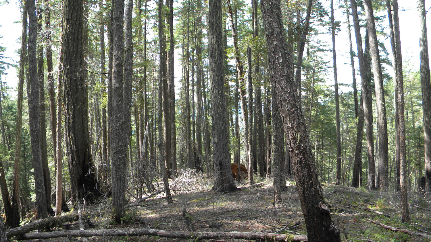
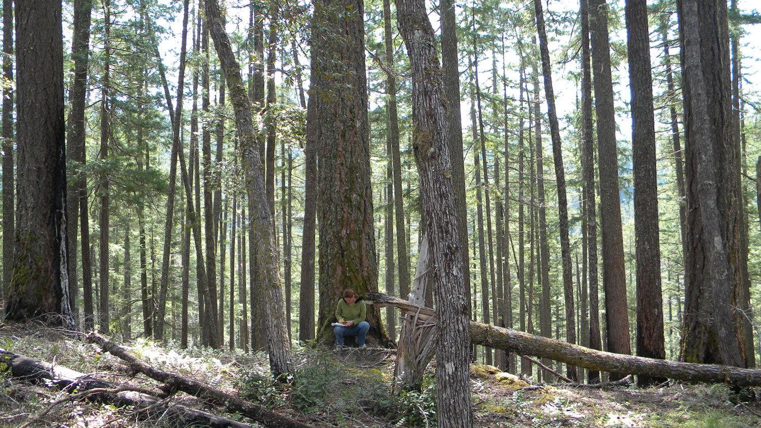
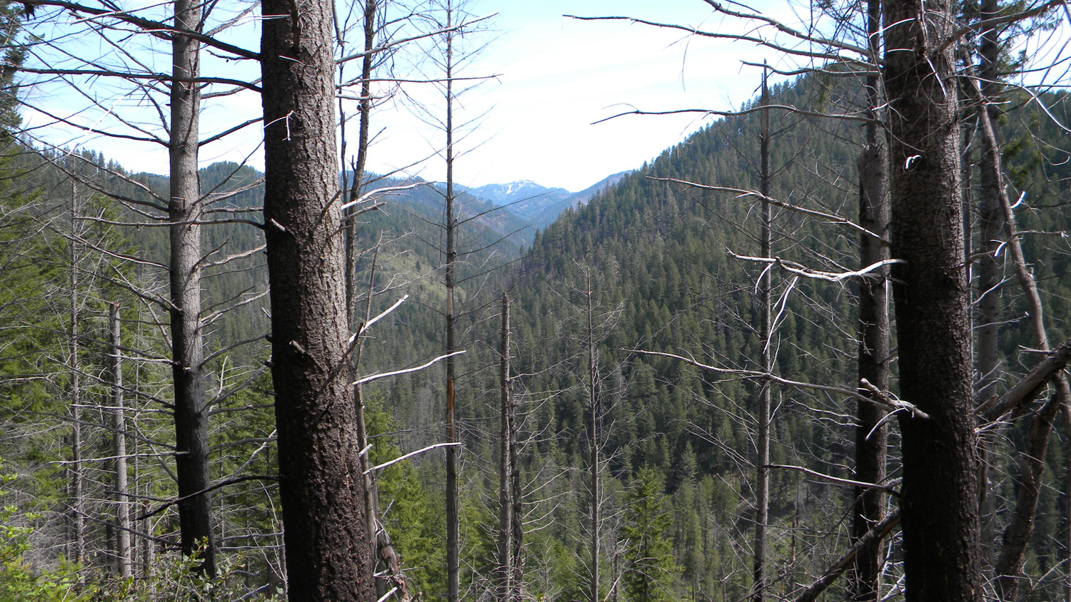
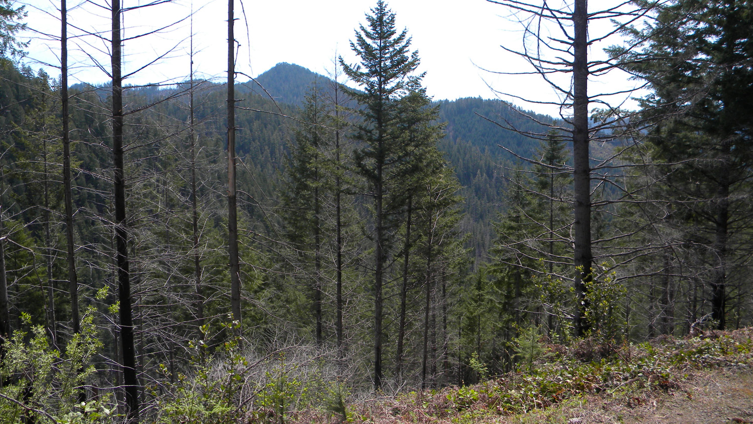
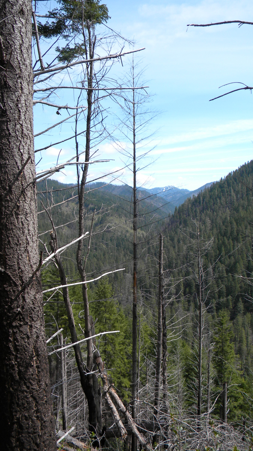
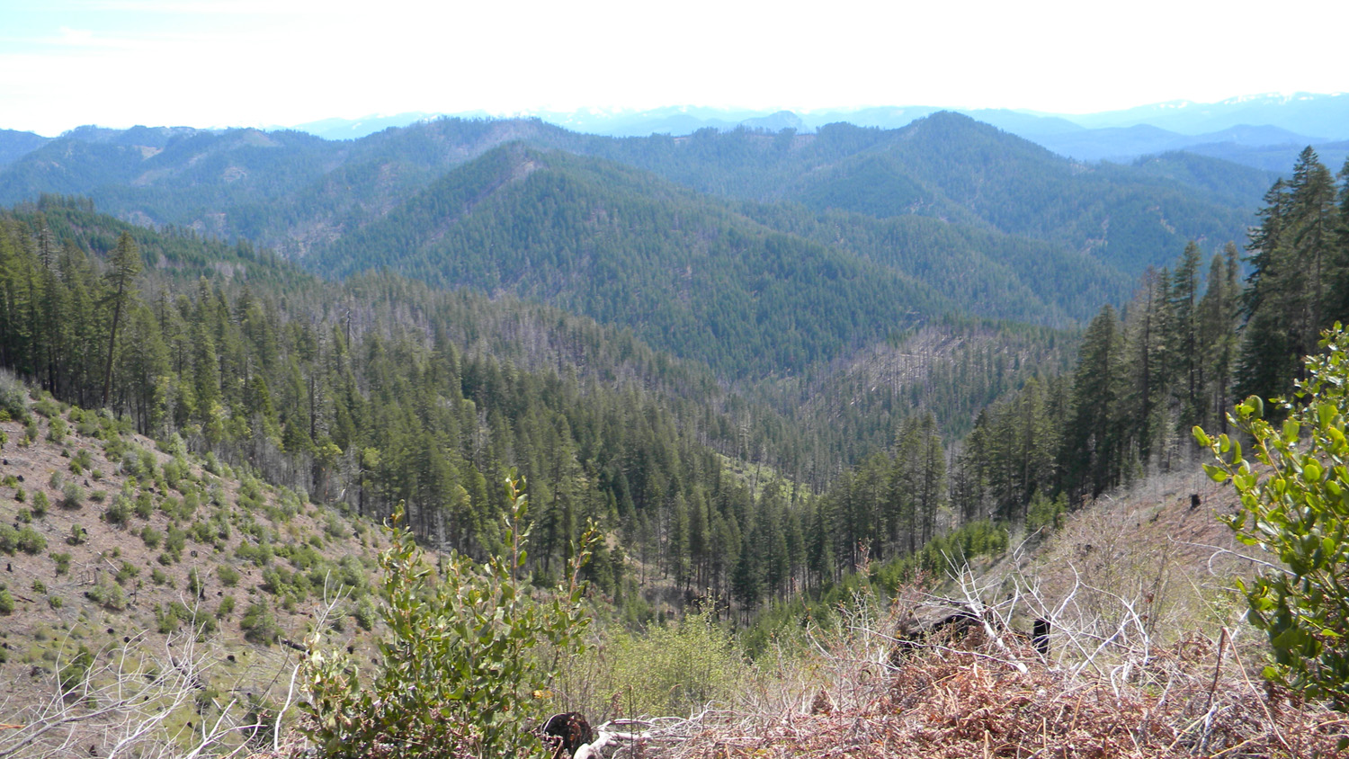
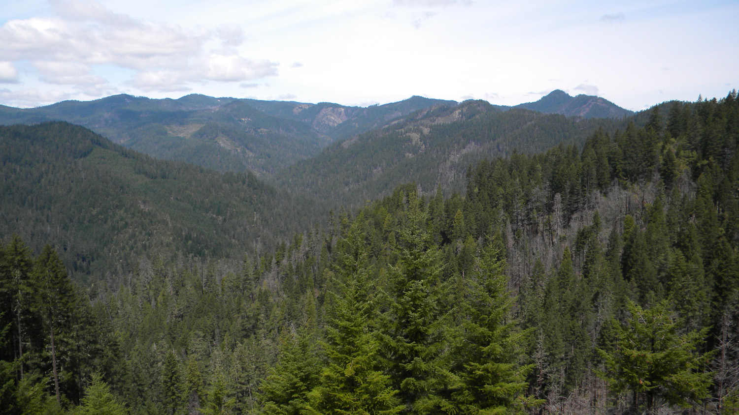
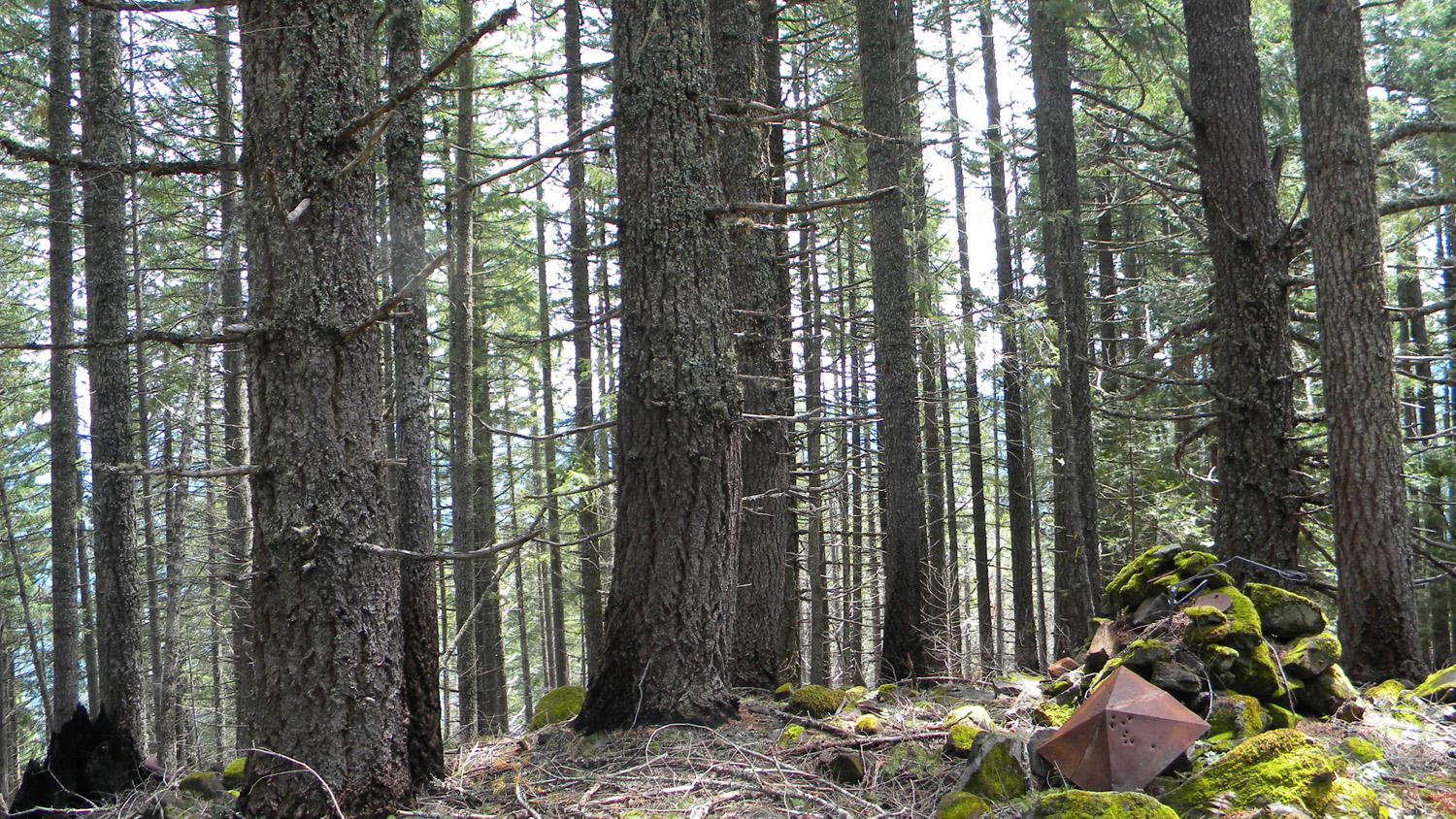
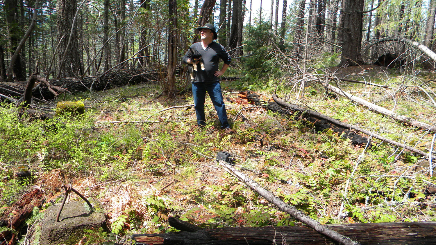
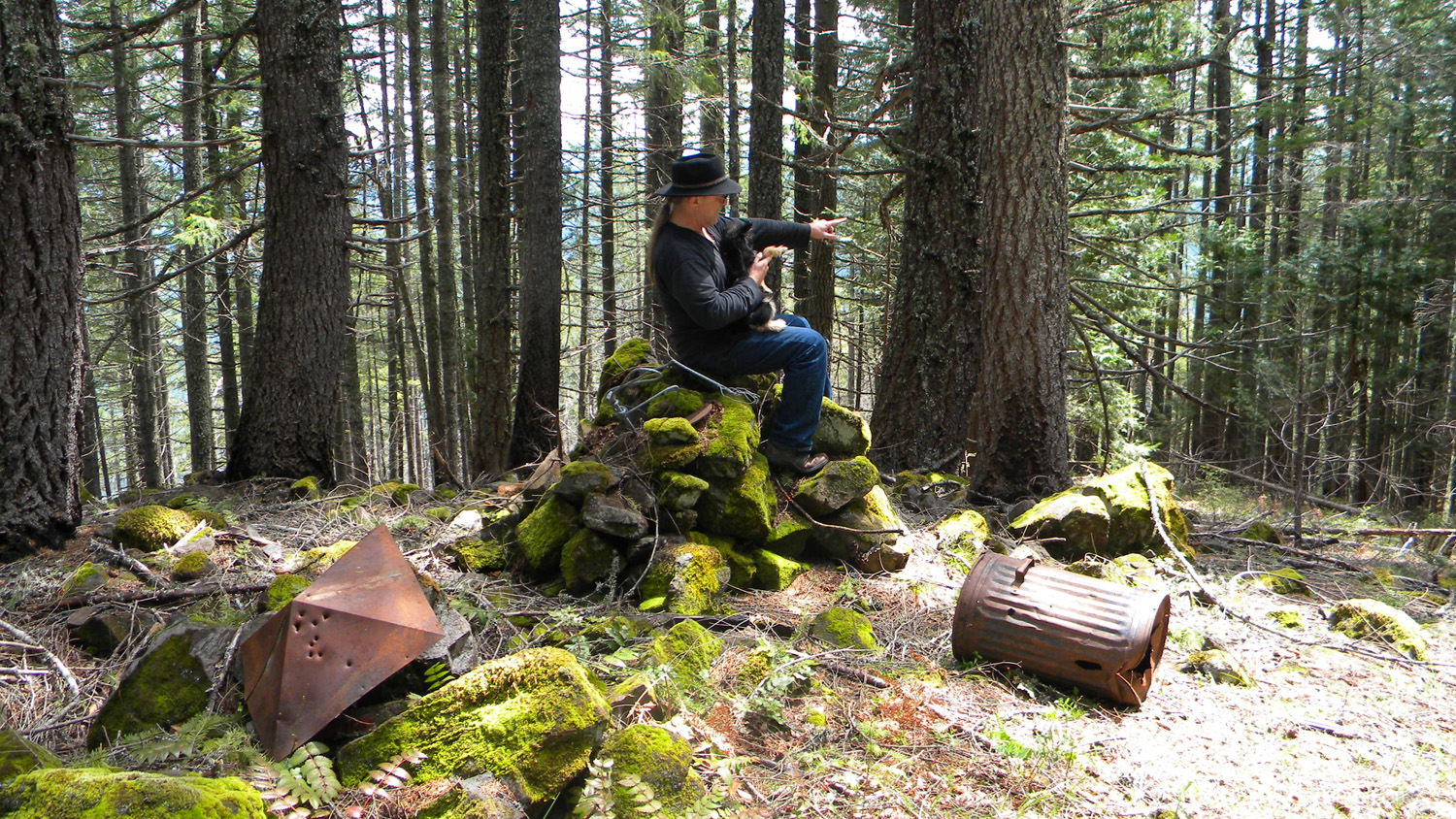
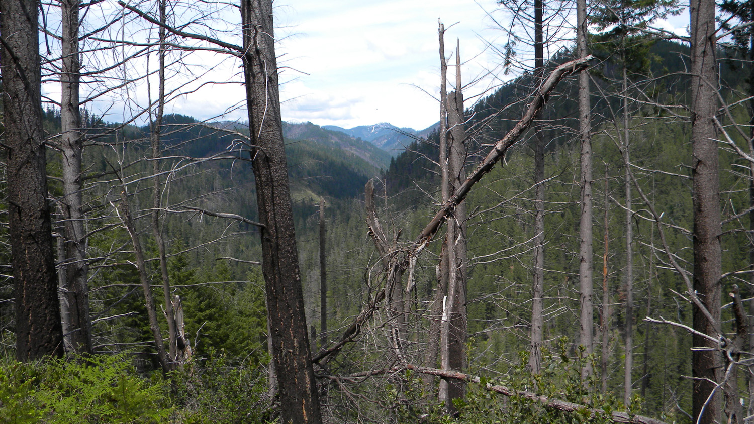
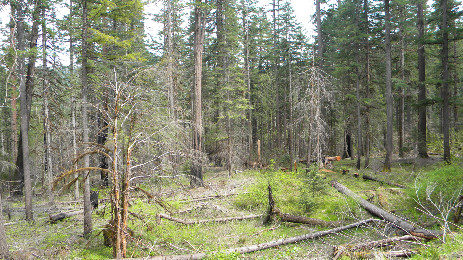
2095_Old_Growth |
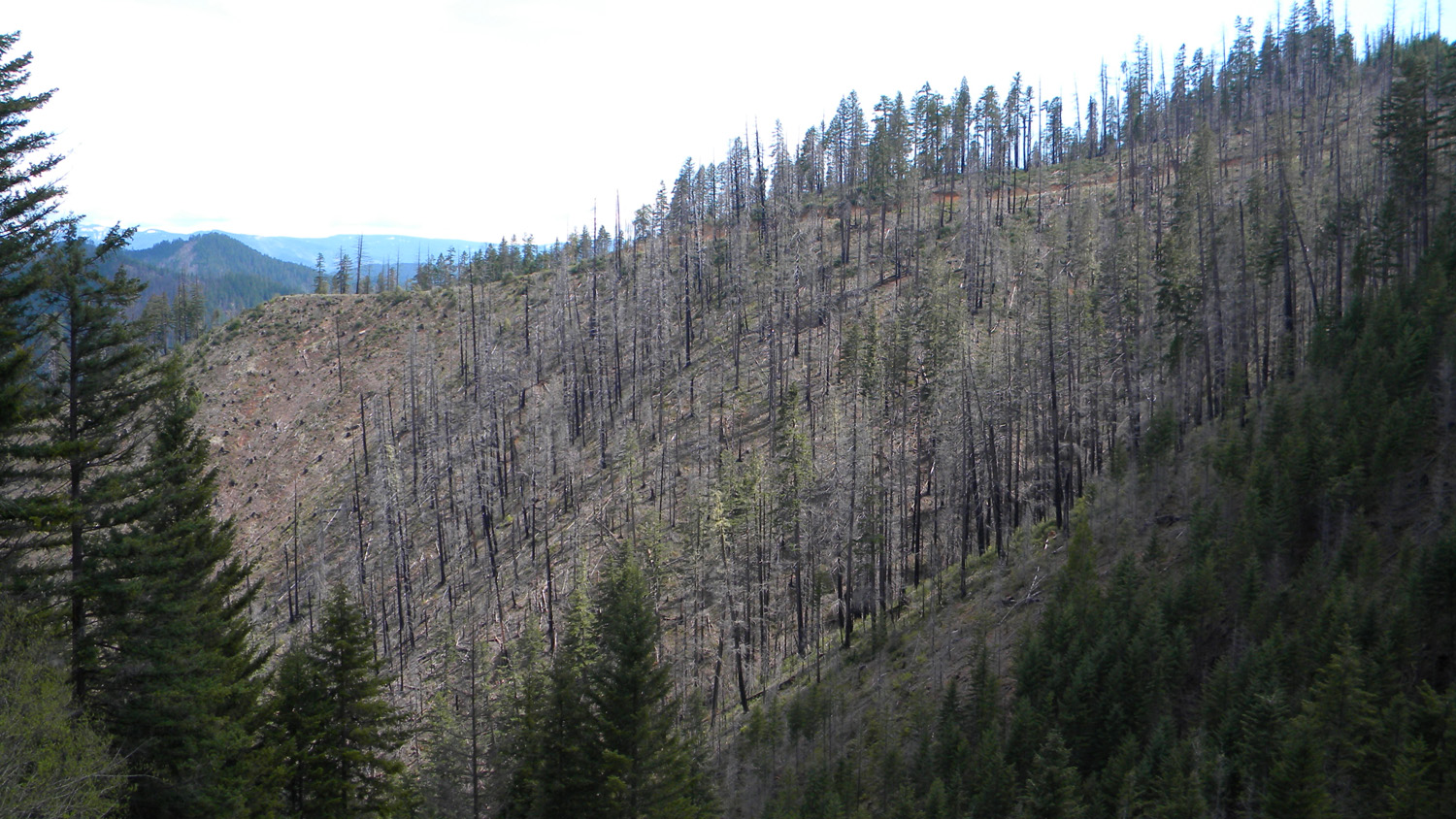
2096_900_Road_Trees |
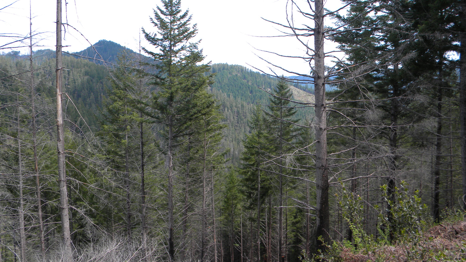
2097_Pinnacle_Trees |
2099_900_Road_Pinnacle |
 |
 |
 |
 |
 |
2100_Boulder_Creek |
2101_Boulder_Creek |
2102_Boulder_Creek_Bridge |
2103_800_Road_View |
2104_800_Road_View |
 |
 |
 |
 |
 |
2105_800_Road_View |
2106_800_Road |
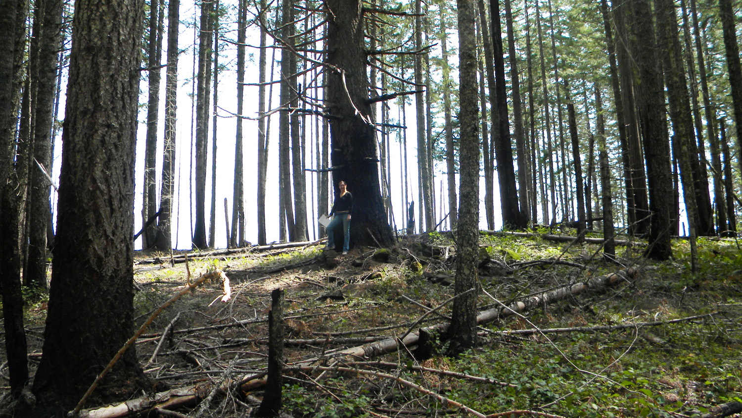
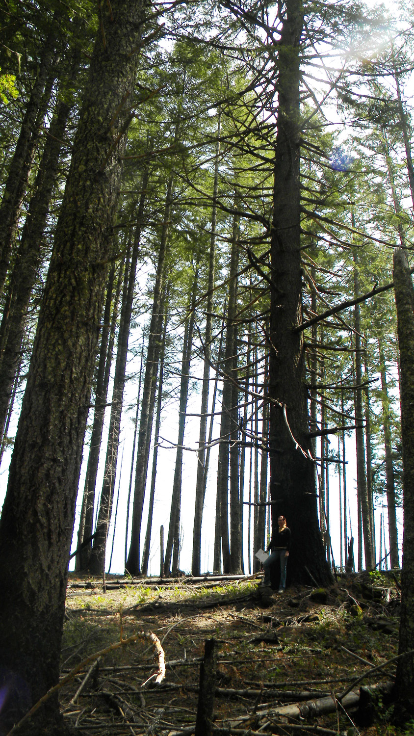
2107_Douglas-Fir |
2108_Douglas-Fir |
2109_Douglas-Fir |
 |
 |
 |
 |
 |
2110_Douglas-Fir |
2116_800_Road_View |
2117_800_Road_View |
2118_800_Road |
2124_100_Road |
 |
 |
 |
 |
 |
2128_100_Road_Ridge |
2129_100_Road_View |
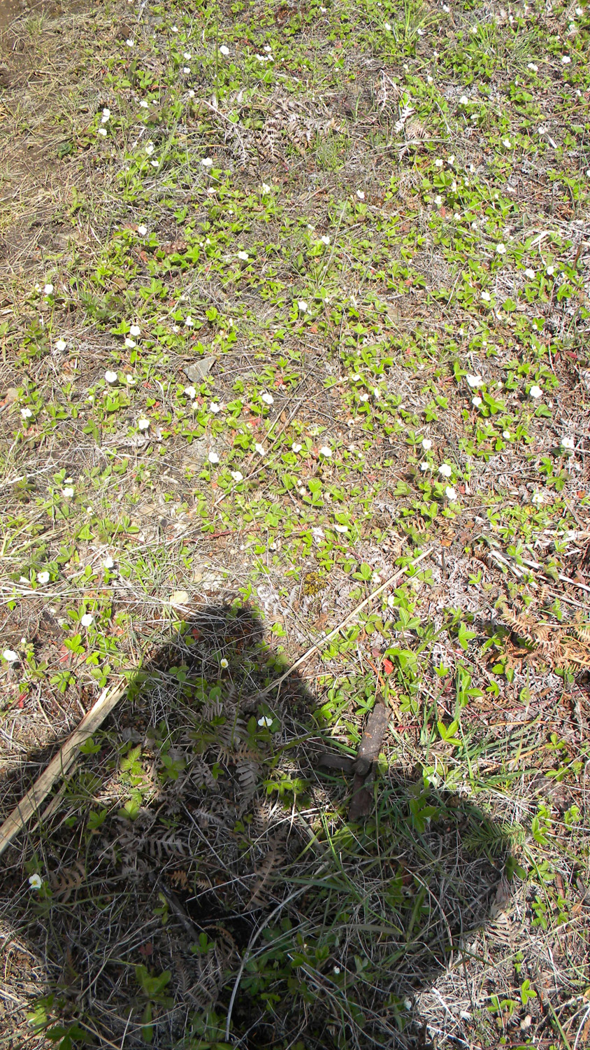
2130_Strawberries |
2133_122_Road_View |
2142_100_Road_Trees |
 |
 |
 |
 |
 |
2143_122_Road_Trees |
2144_Mystery_Green |
2145_100_Road_View |
2146_112_Road_Bed |
2147_Old_Road_Bed |
 |
 |
 |
 |
 |
2148_Old_Road_Bed |
2150_Trees |
2151_Trees |
2152_Old_Road_Bed |
2155_Clayton_Point_Trees |
 |
 |
 |
 |
 |
2156_Clayton_Point |
2159_Clayton_Point |
2163_Clayton_Point |
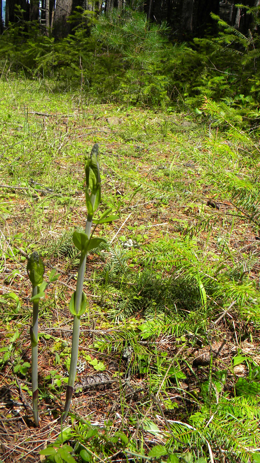
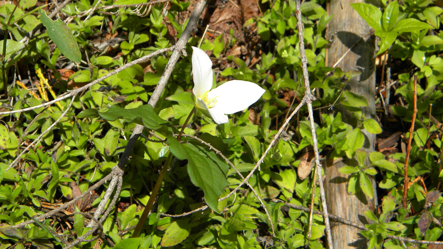
2164_Trillium |
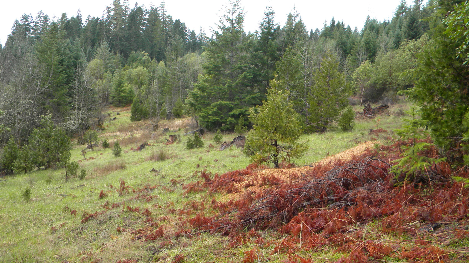
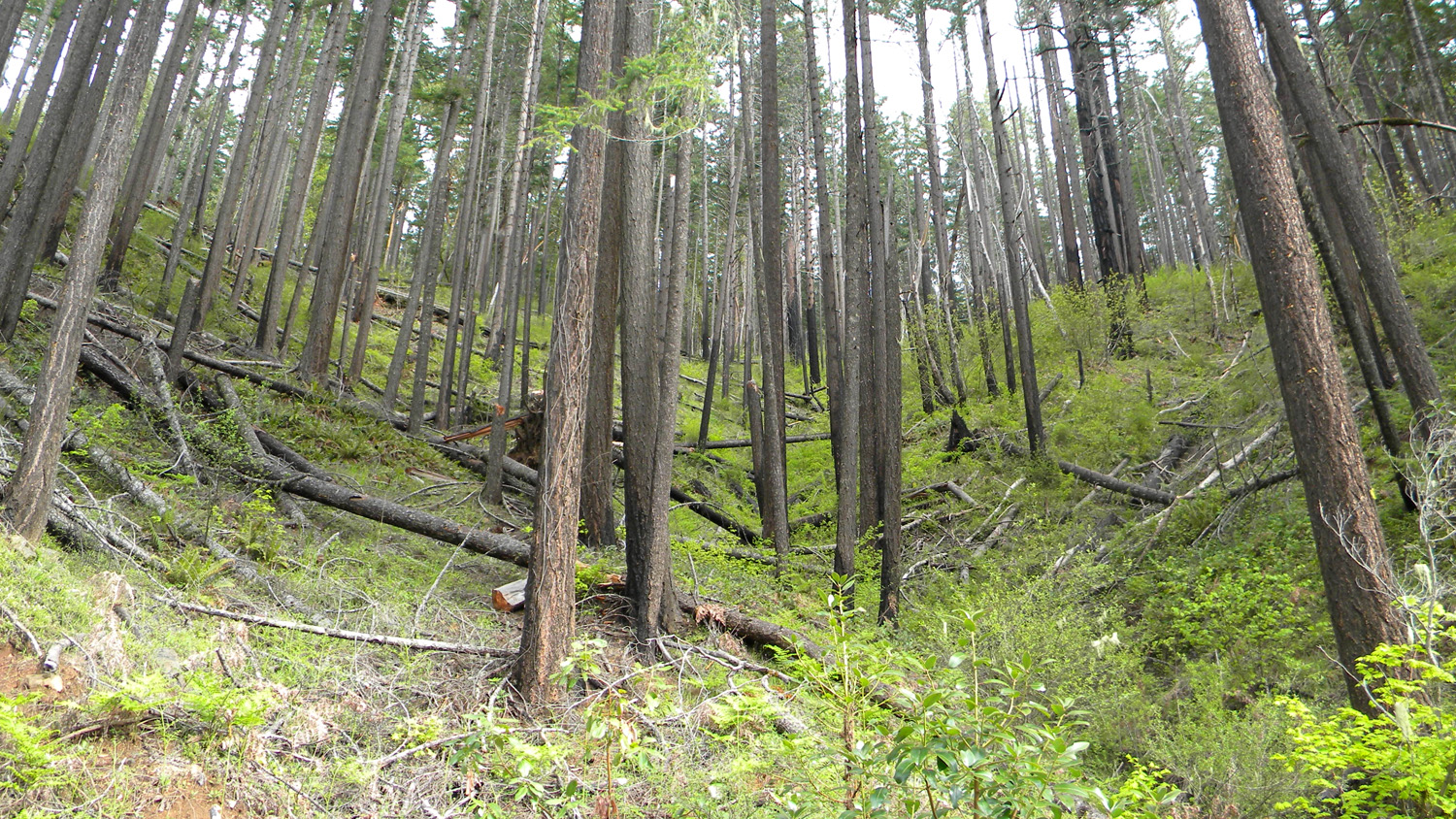
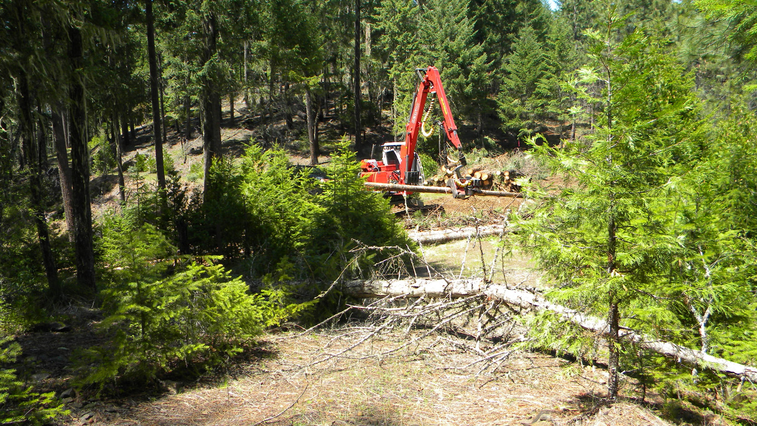
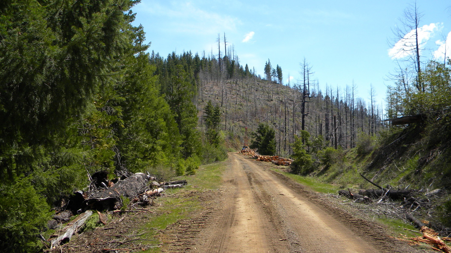
2166_Logging |
 |
 |
 |
 |
 |
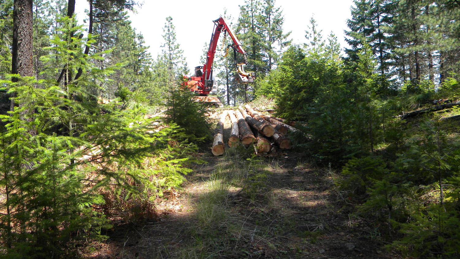
2167_Logging |
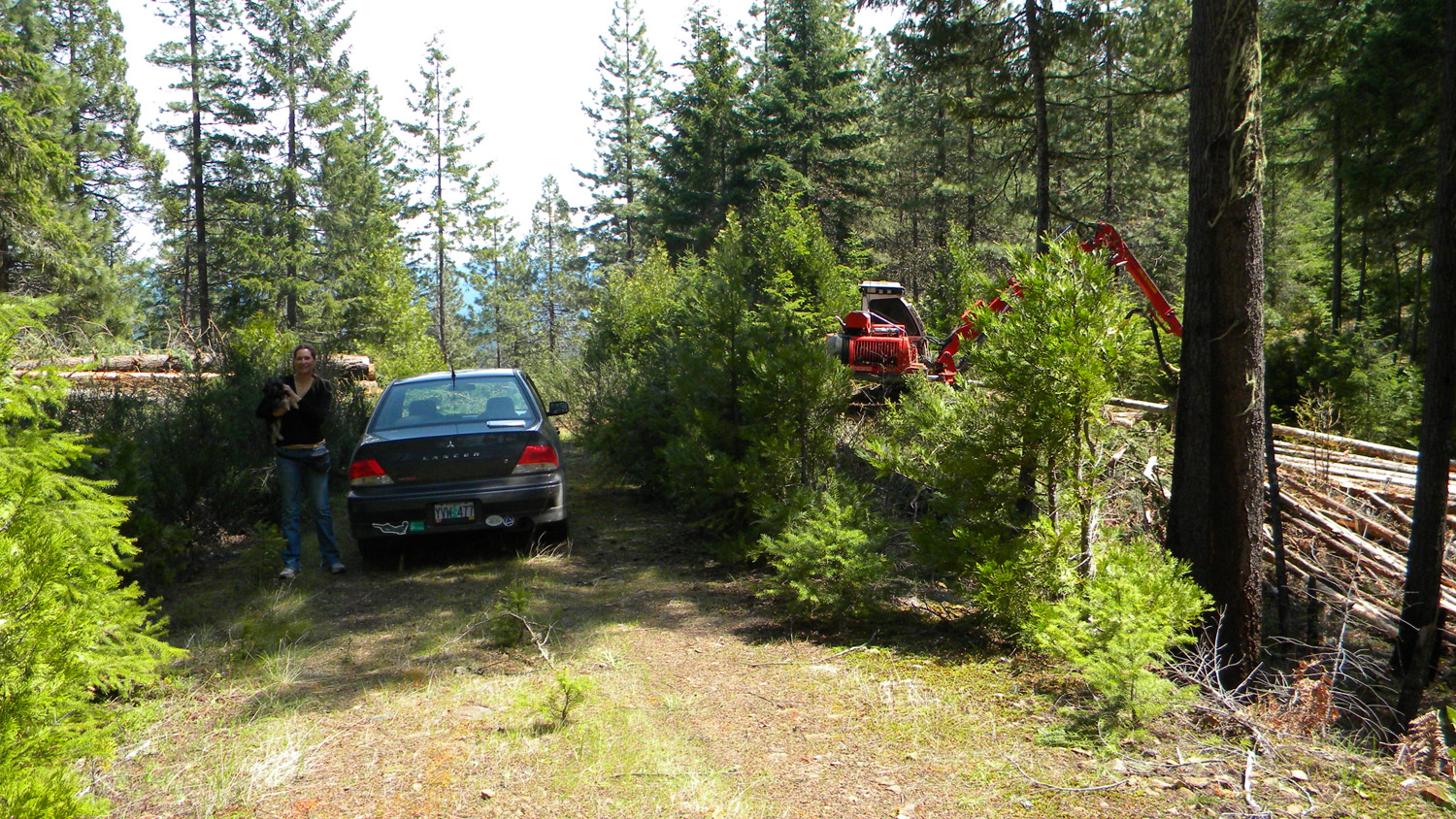
2169_Logging |
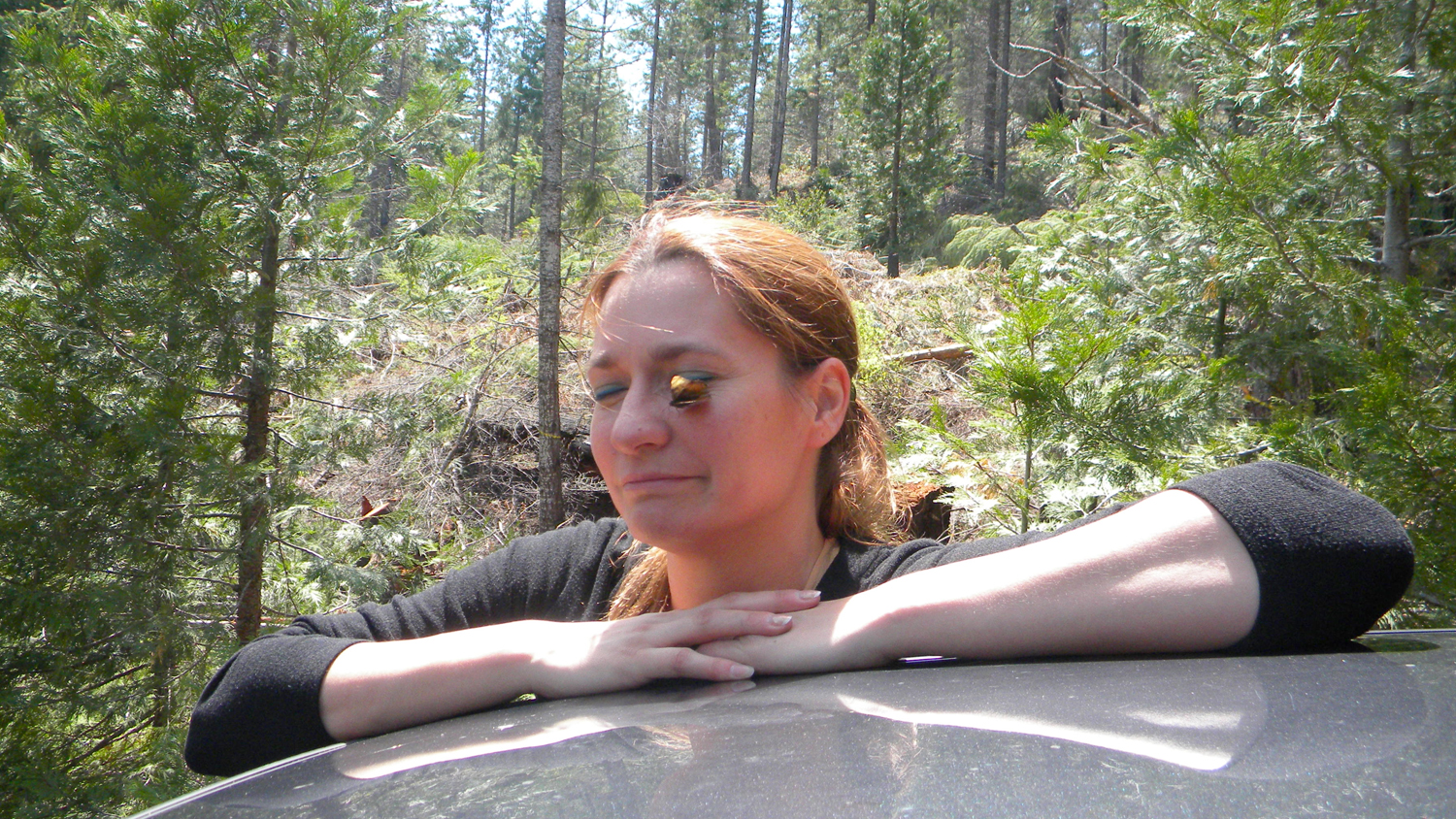
2171_Butterfly |
2172_Butterfly |
2173_100_Road_View |
 |
 |
 |
 |
 |
2176_800_Road_View |
2177_800_Road_View |
2178_800_Road_Trees |
2179_820_Road_Logging |
2180_820_Road_View |
 |
 |
 |
 |
 |
2181_820_Road_Burn |
2182_820_Road_View |
2183_820_Road_View |
2184_820_Road_View |
2185_820_Road |
 |
 |
 |
 |
 |
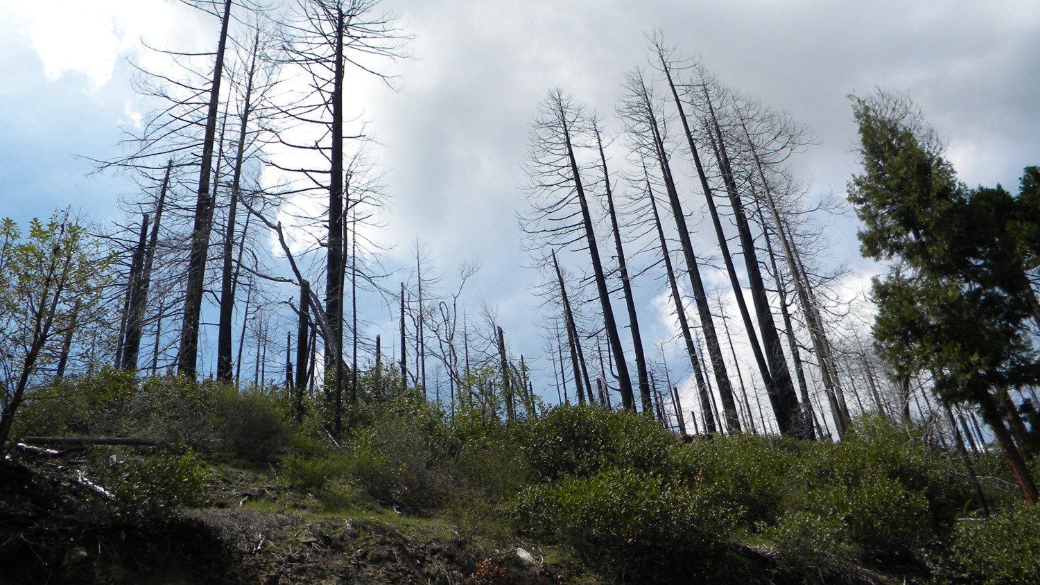
2196_Burn |
2197_800_Road_View |
2198_800_Road_View |
2199_800_Road_View |
2200_Yew |
 |
 |
 |
 |
 |
2201_Boulder_Creek |
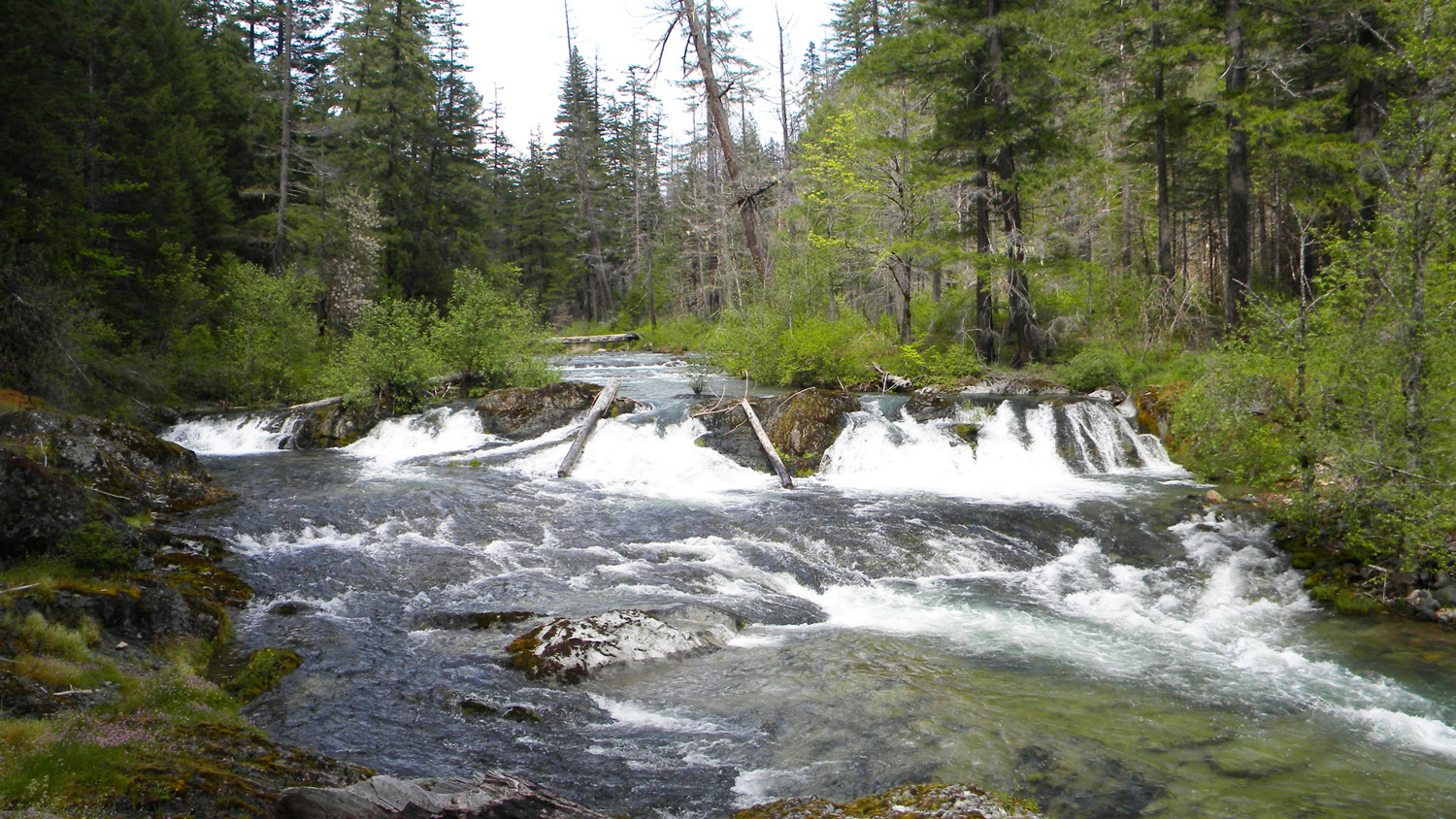
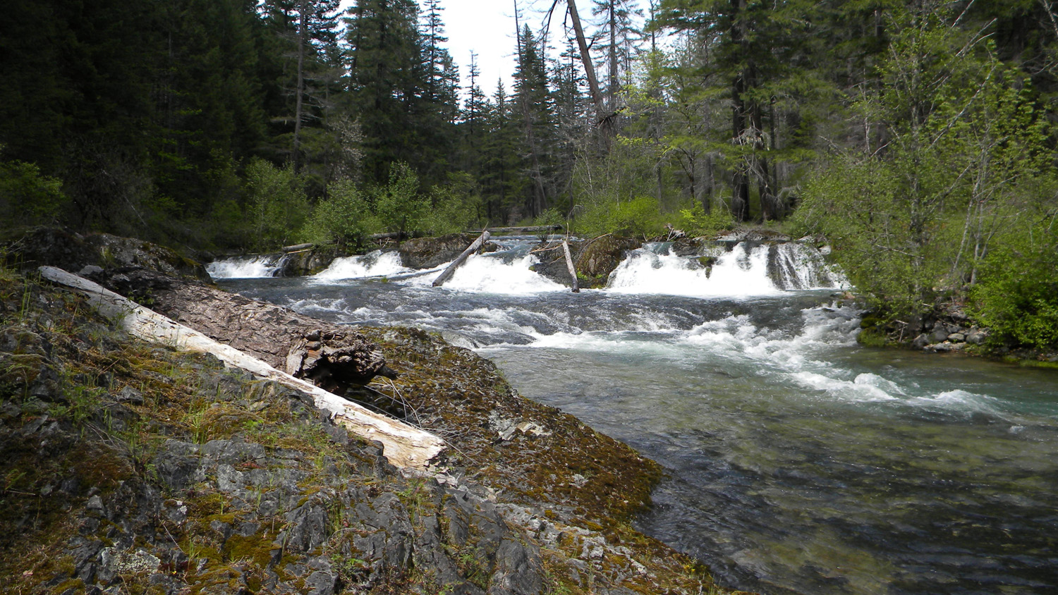
2202_Boulder_Creek_Falls |
2204_Boulder_Creek_Falls |
2206_Wildflowers |
2207_Camas |
 |
 |
 |
 |
 |
2208_Boulder_Creek |
2209_Boulder_Creek |
2210_Boulder_Creek |
2211_700_Road_Blocked |
2212_700_Road_View |
![]()
© 2010, 2020 Oregon Websites & Watersheds Project, Inc. & NW Maps Co.