Upper South Umpqua Headwaters Precontact Reference Study
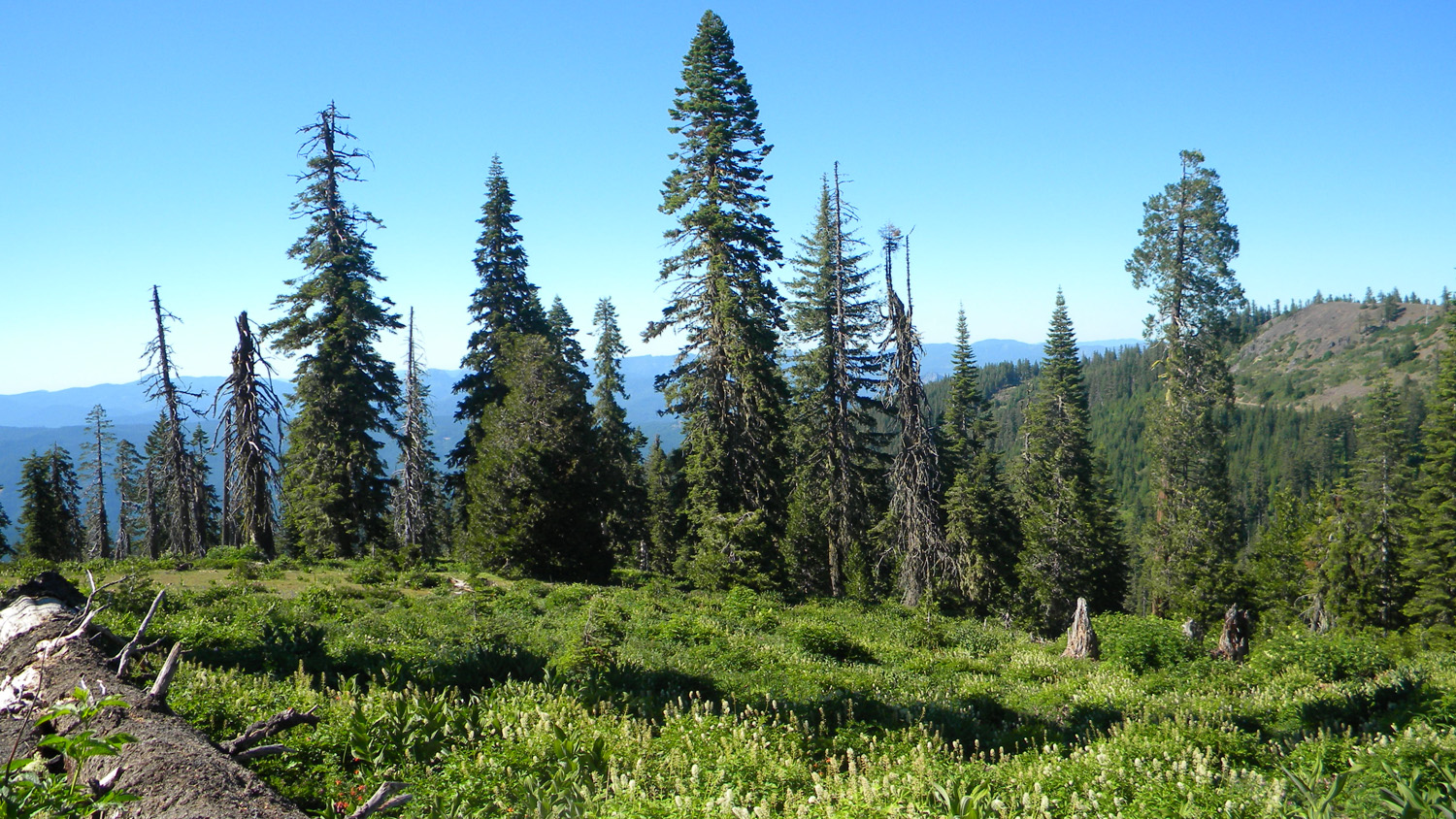
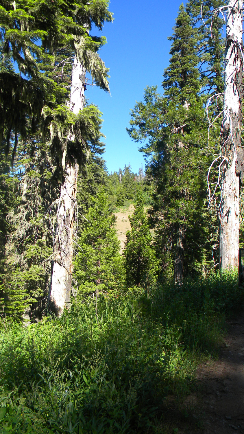
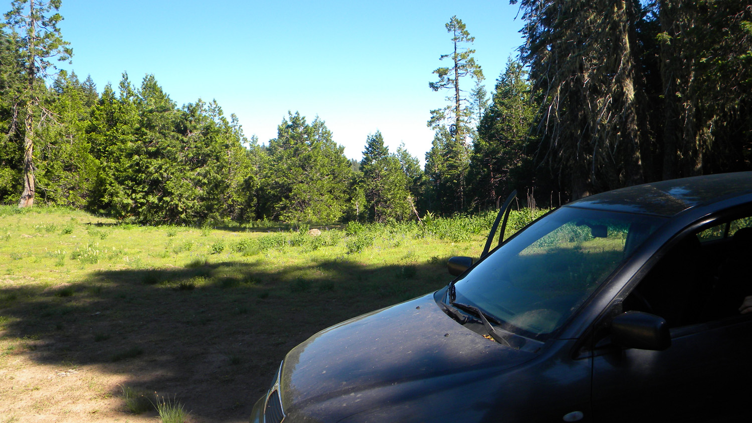
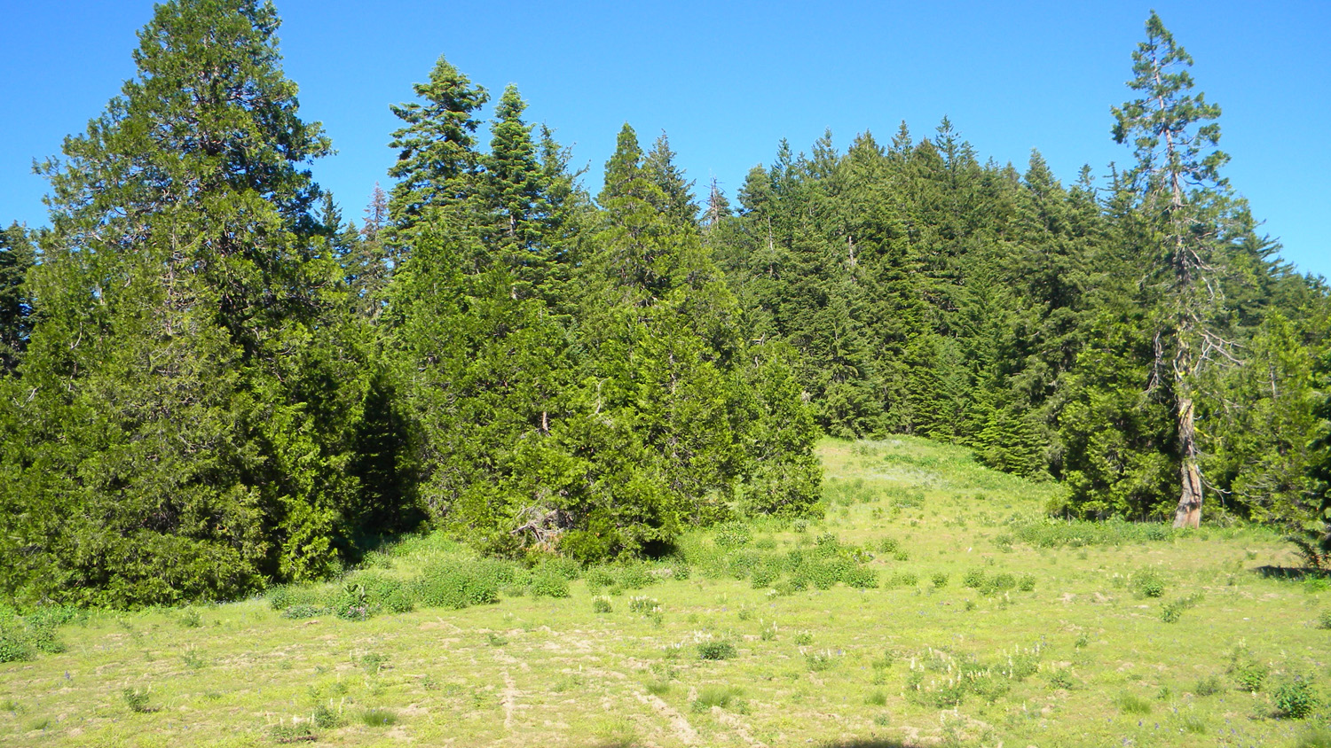
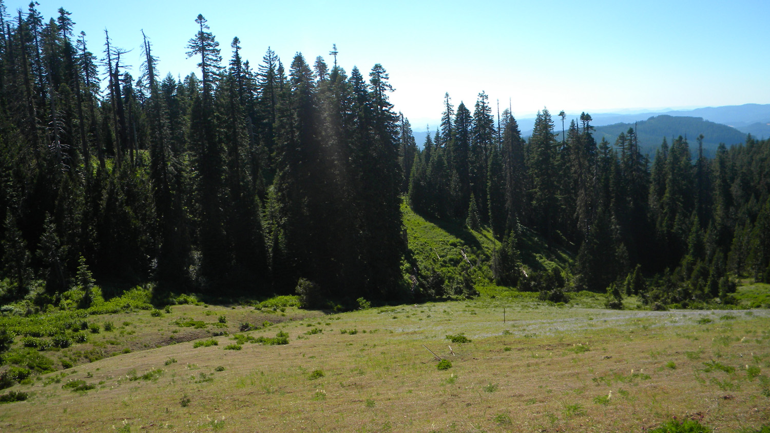
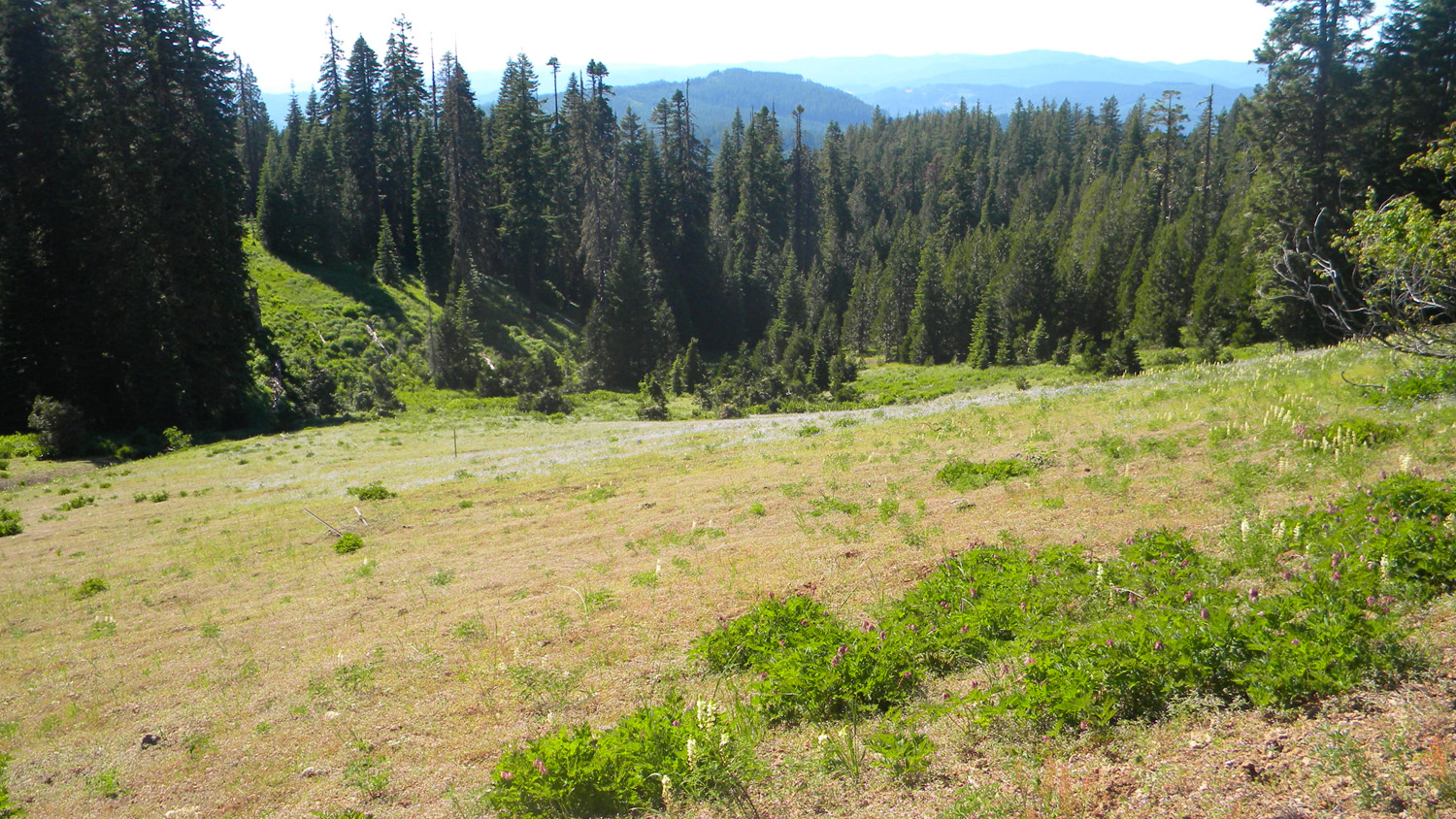
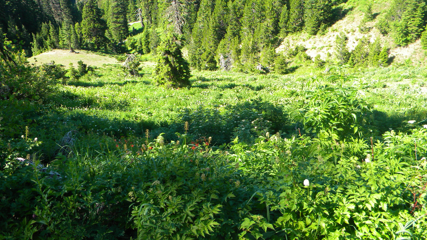
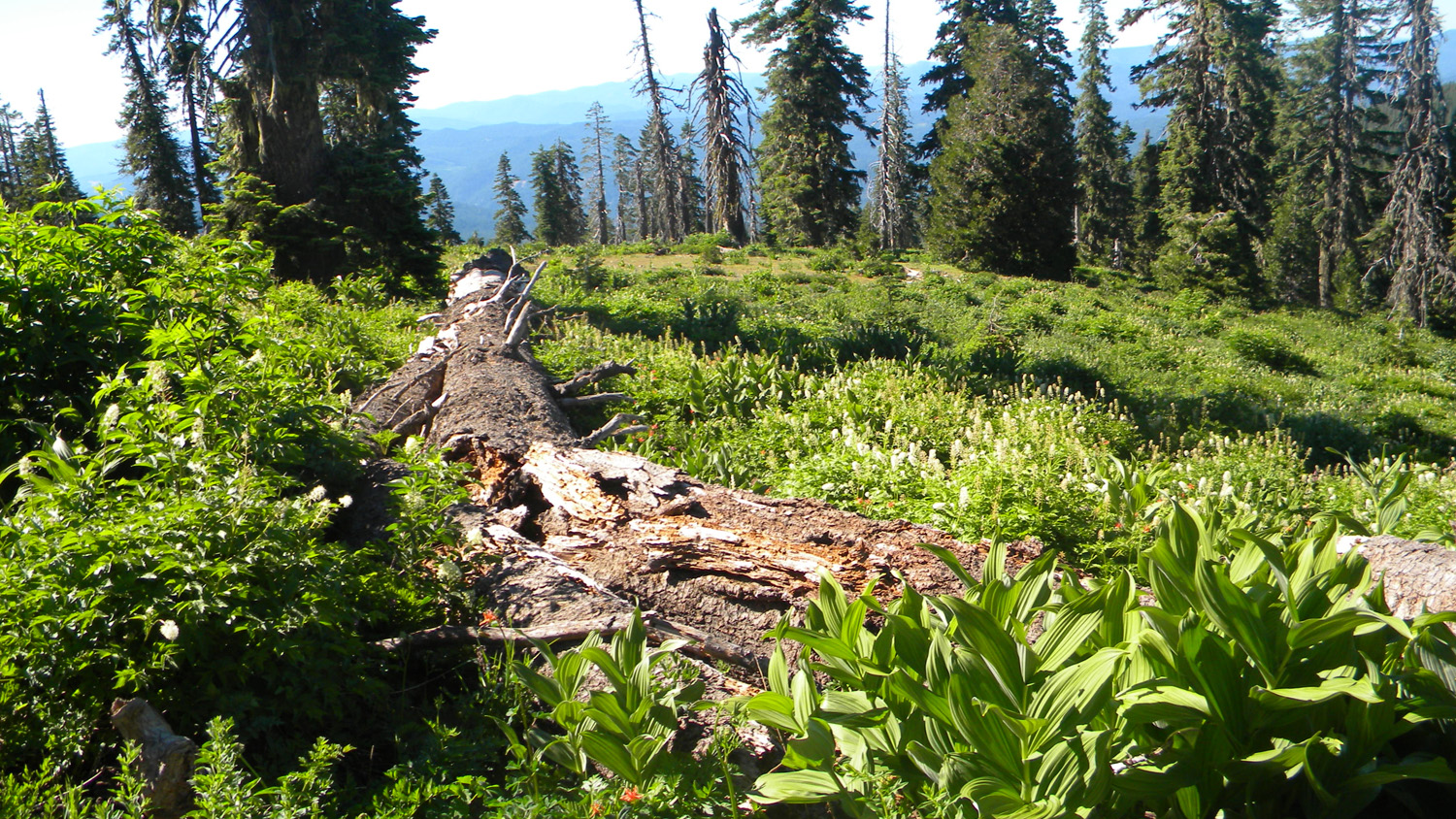
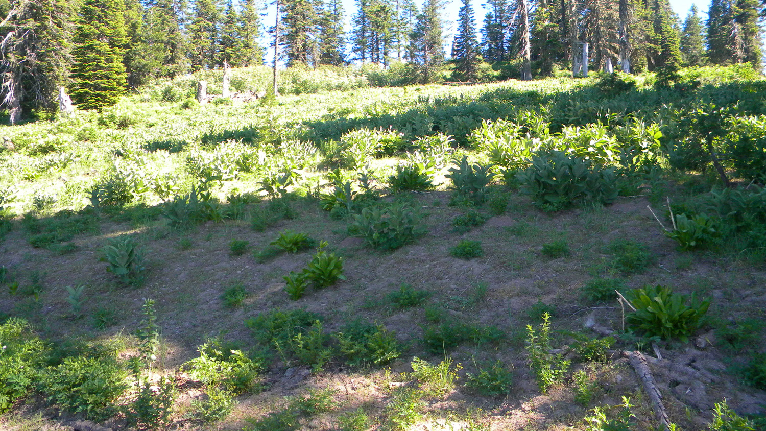
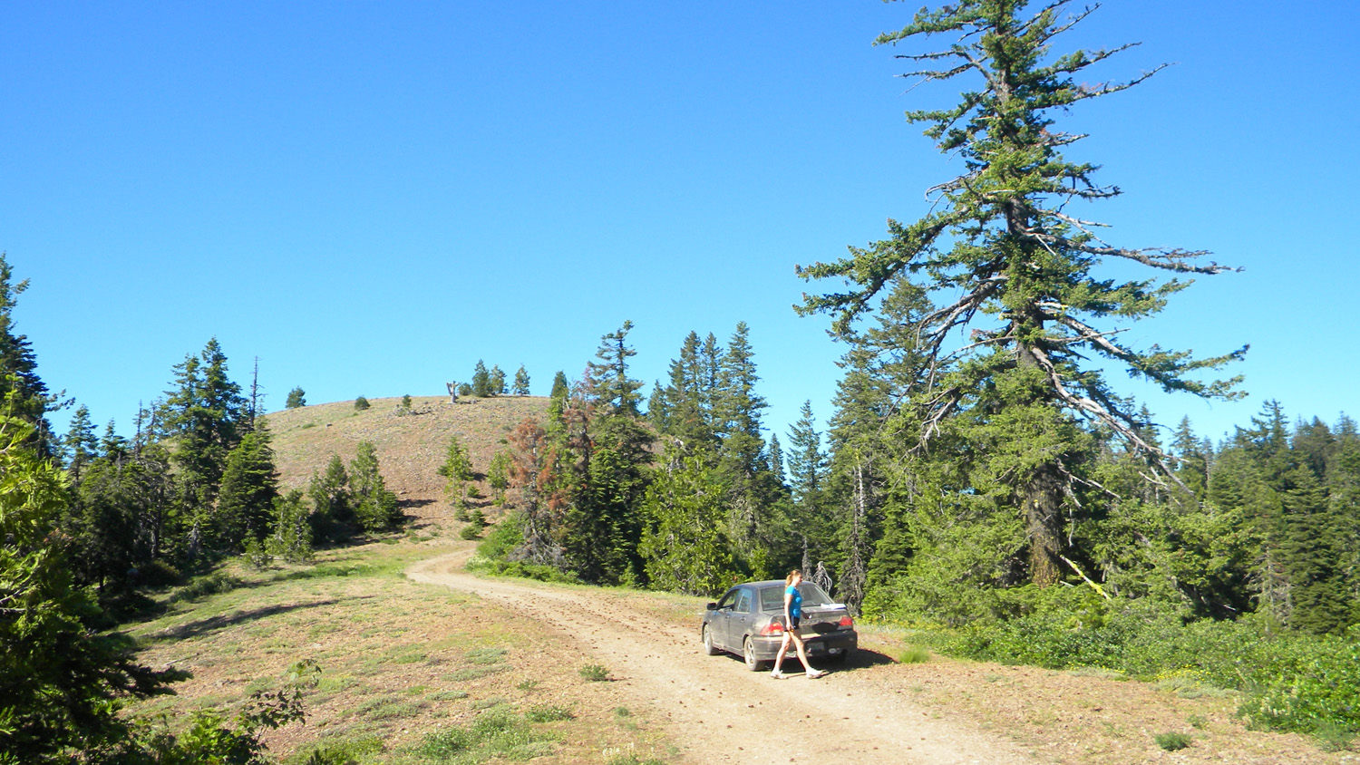
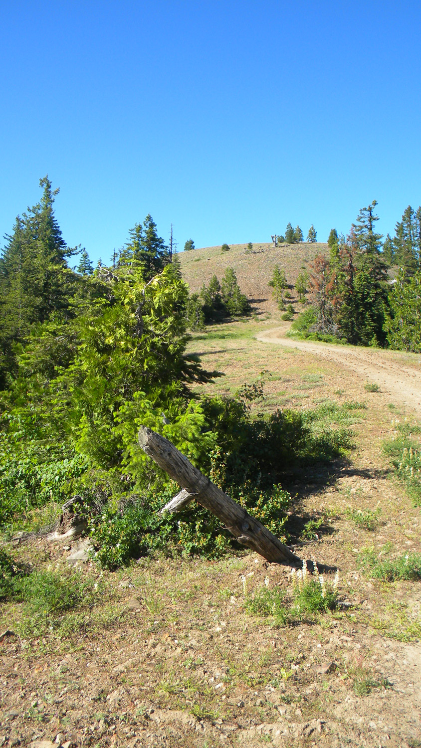
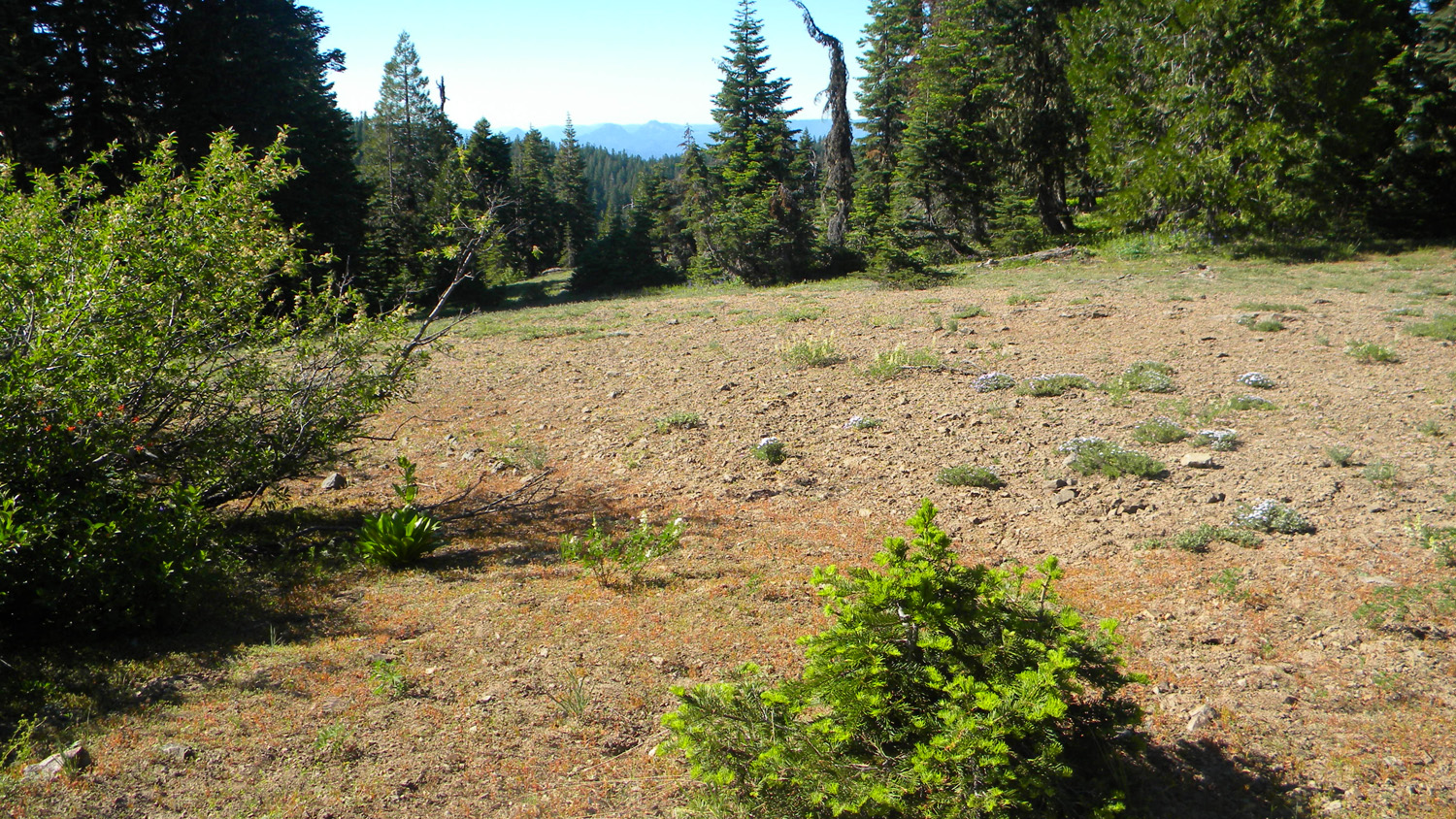
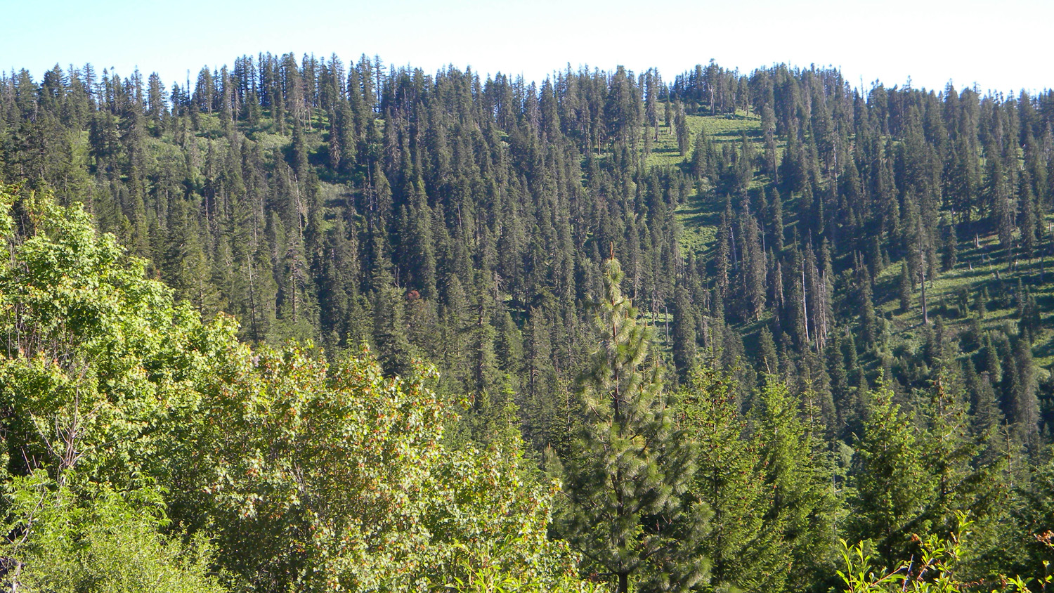
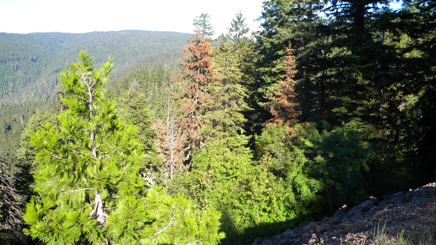
Bald Ridges
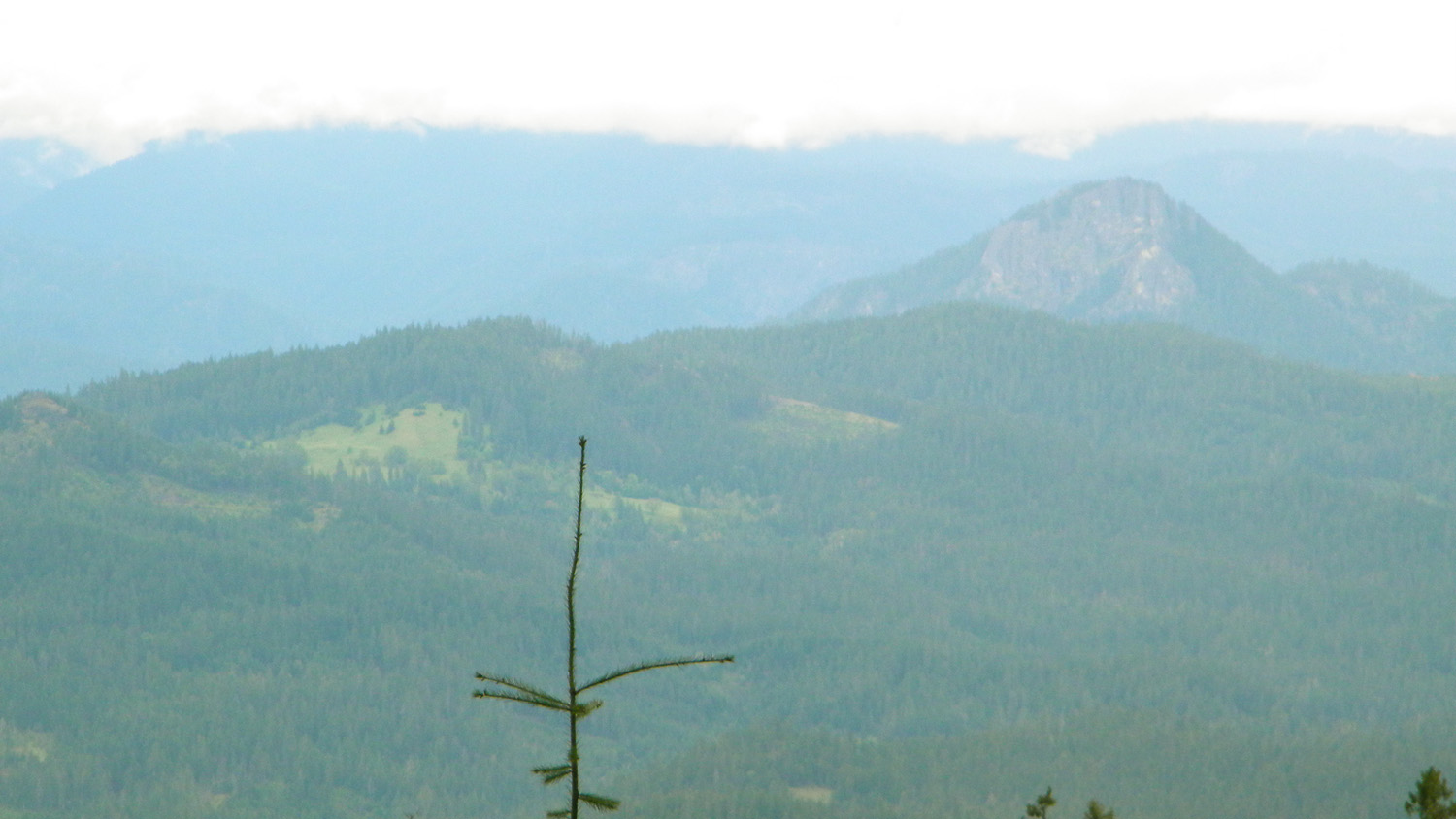
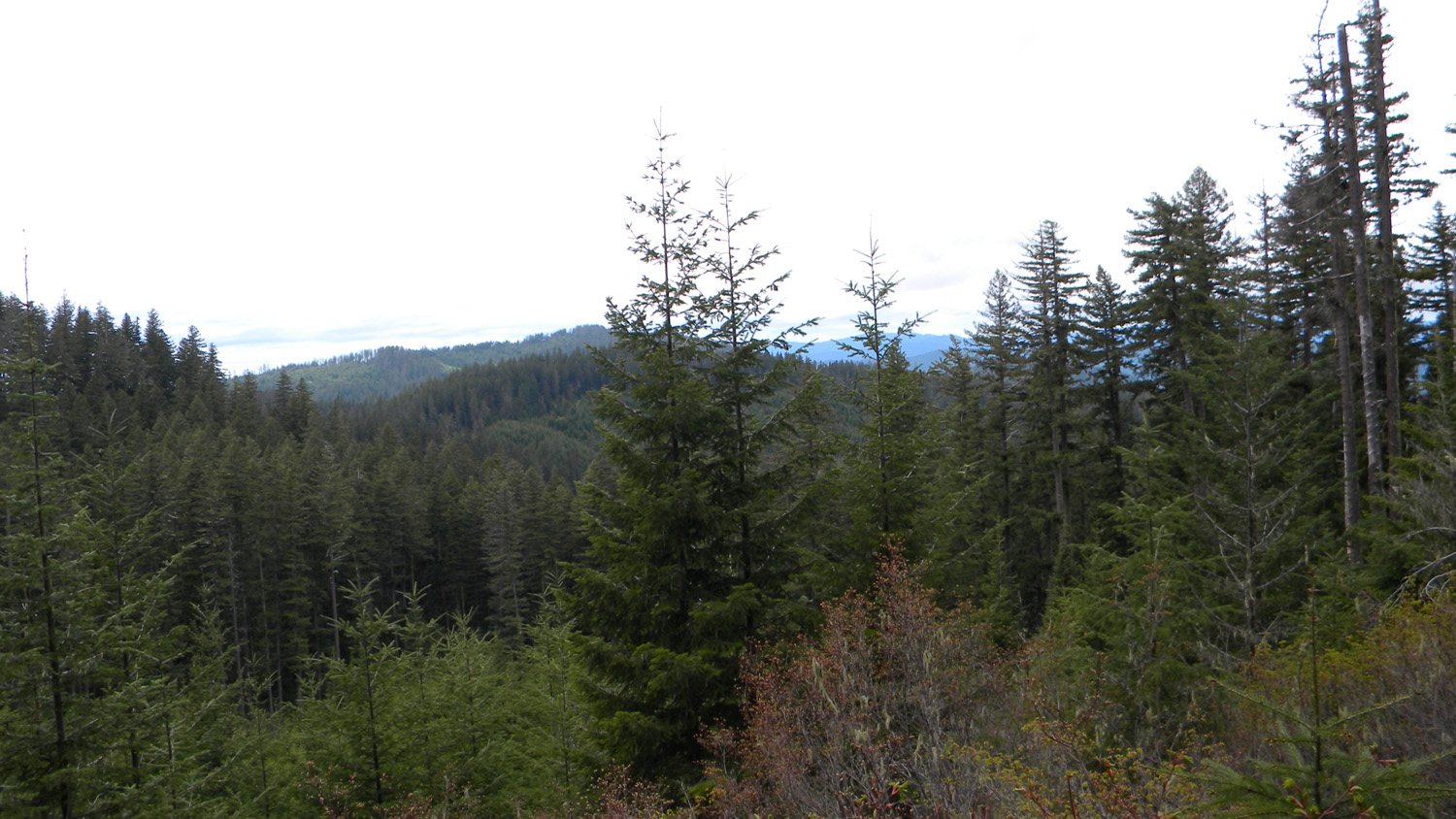
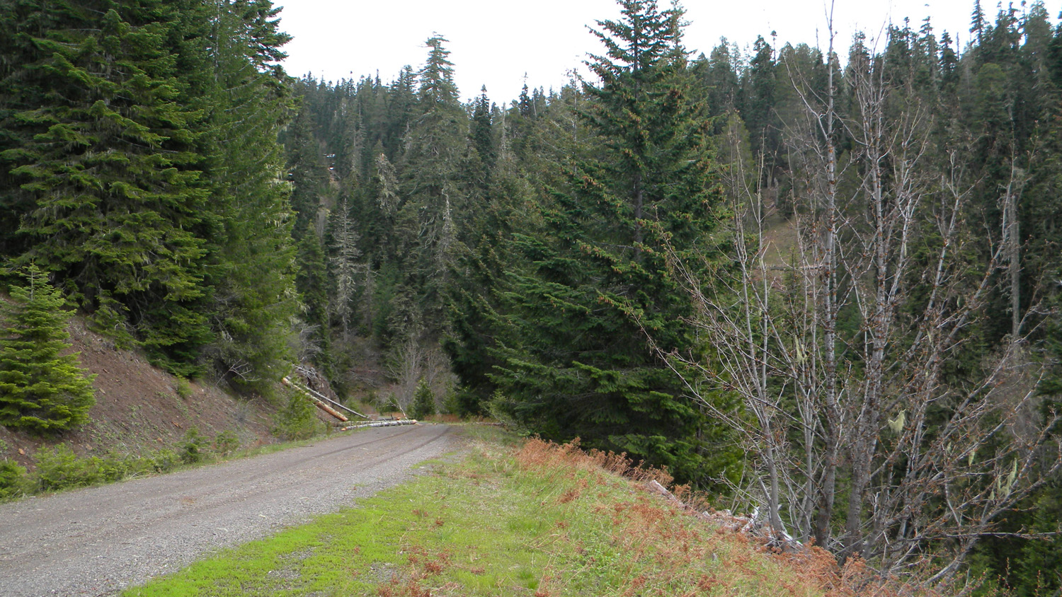
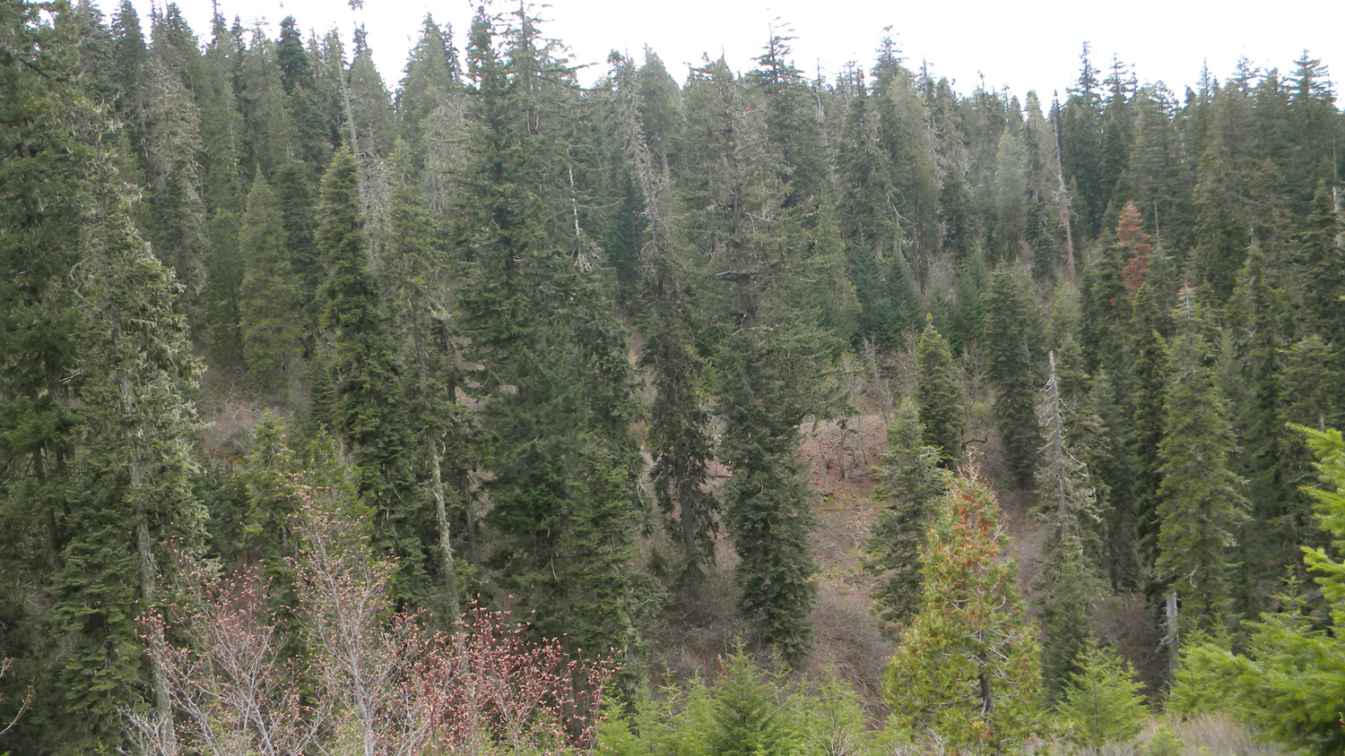
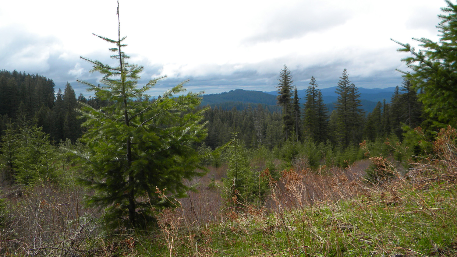
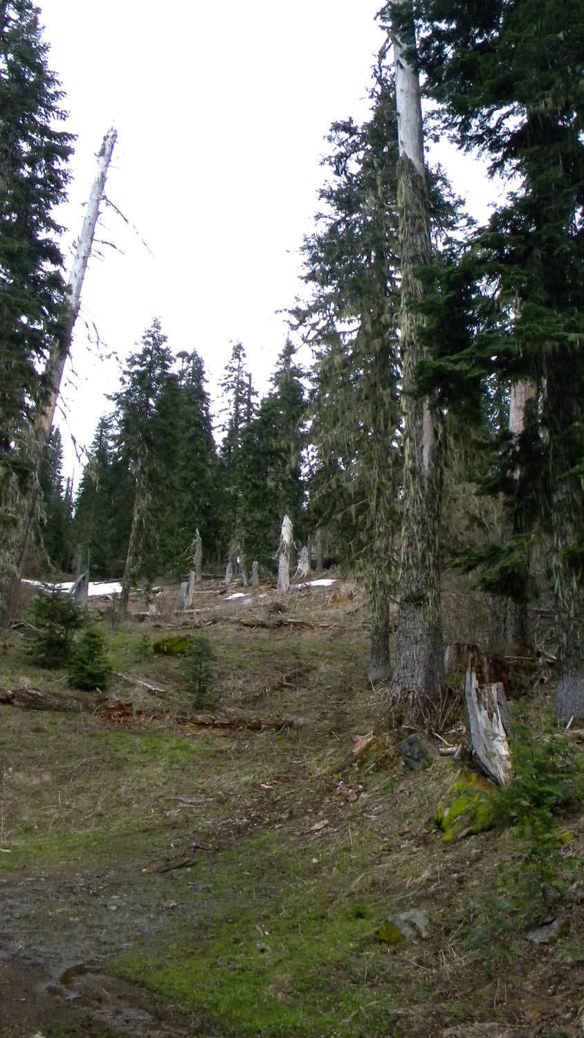
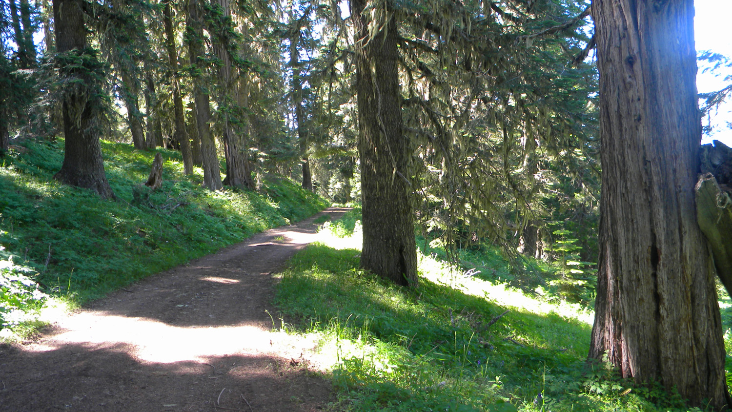
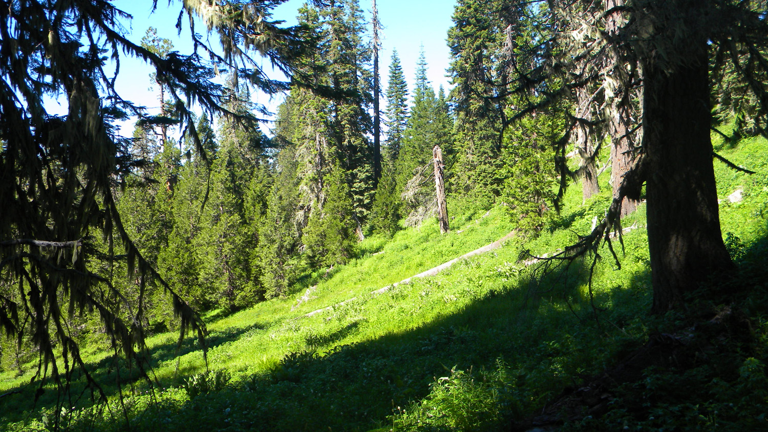
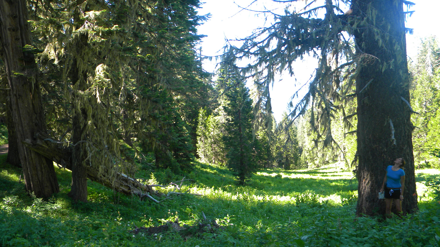
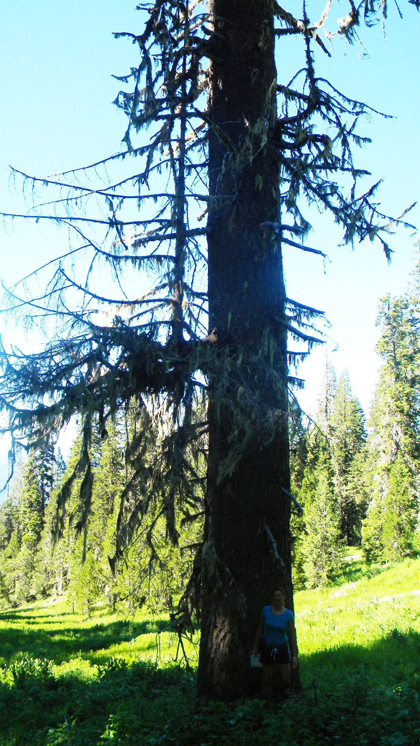
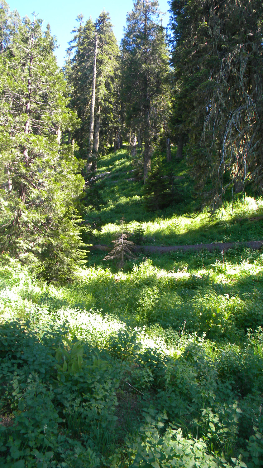
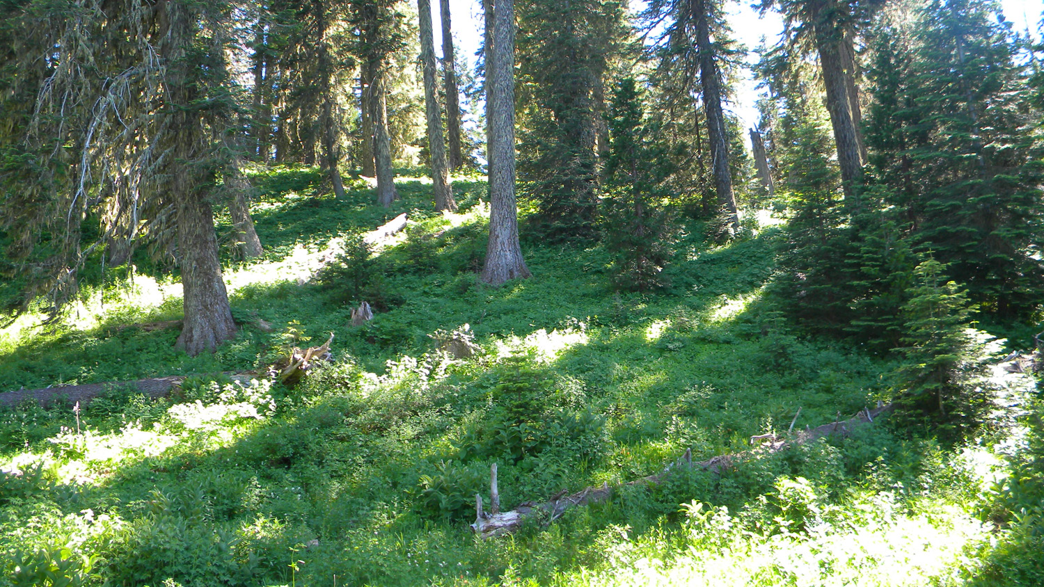
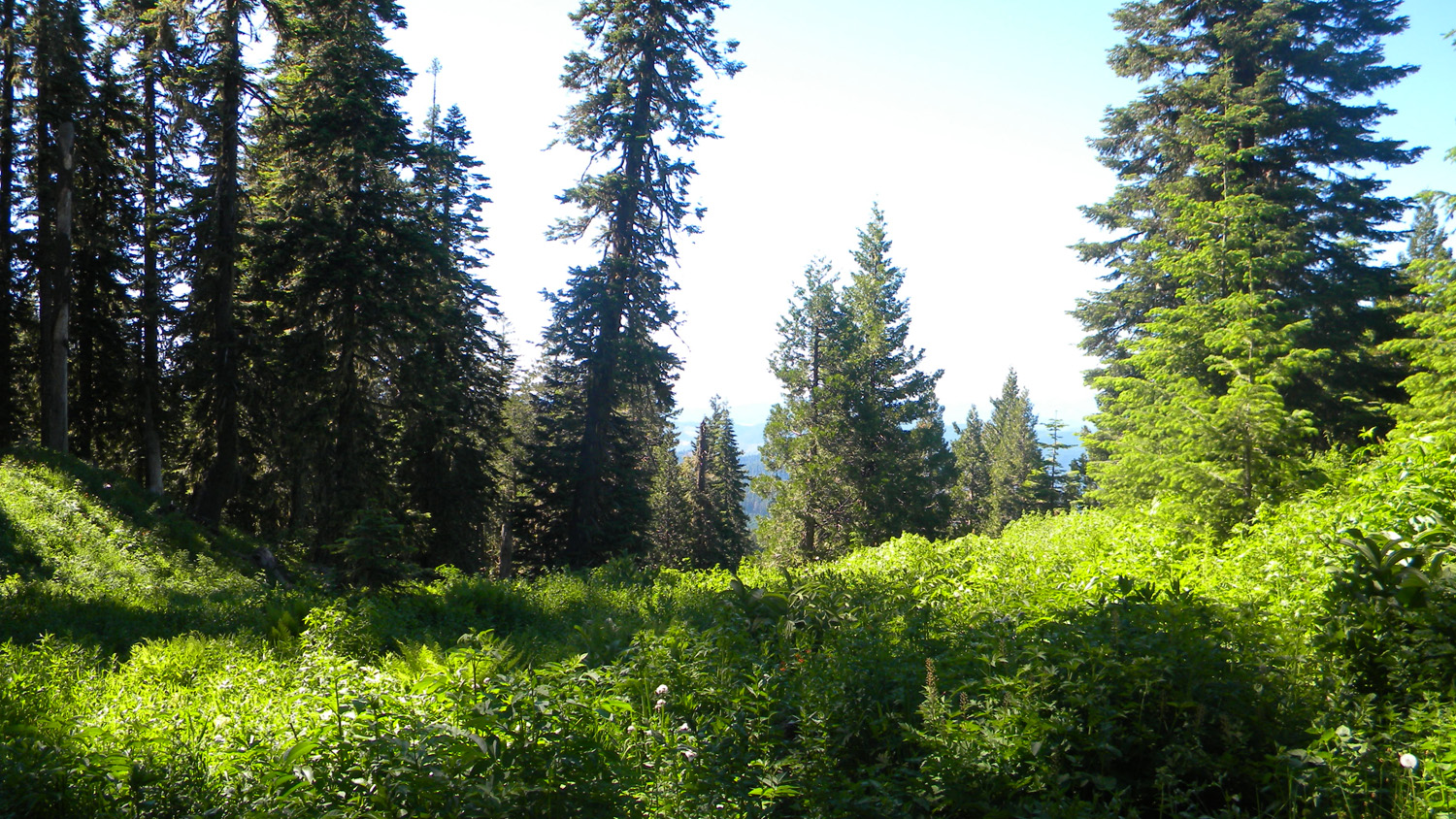
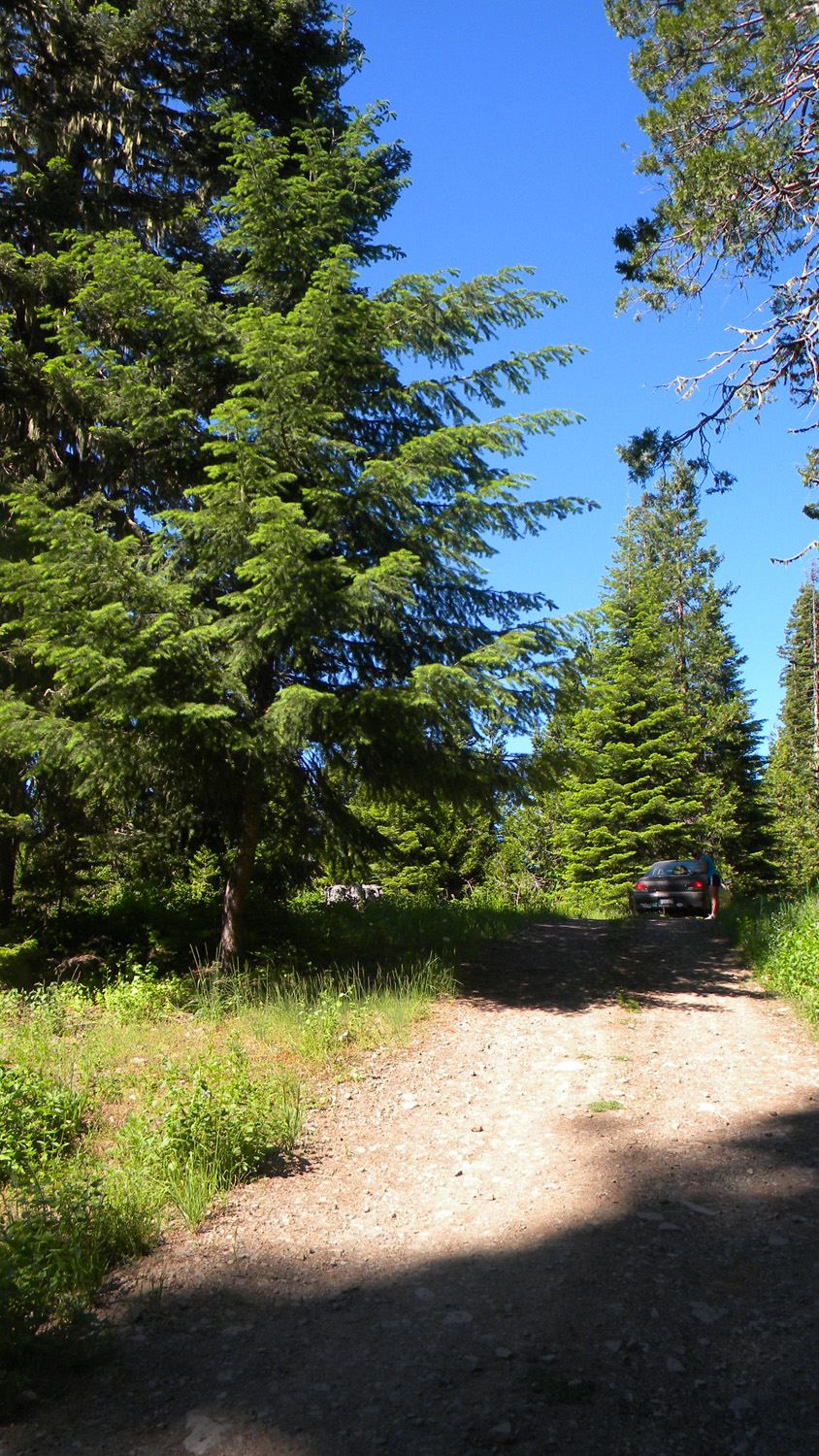
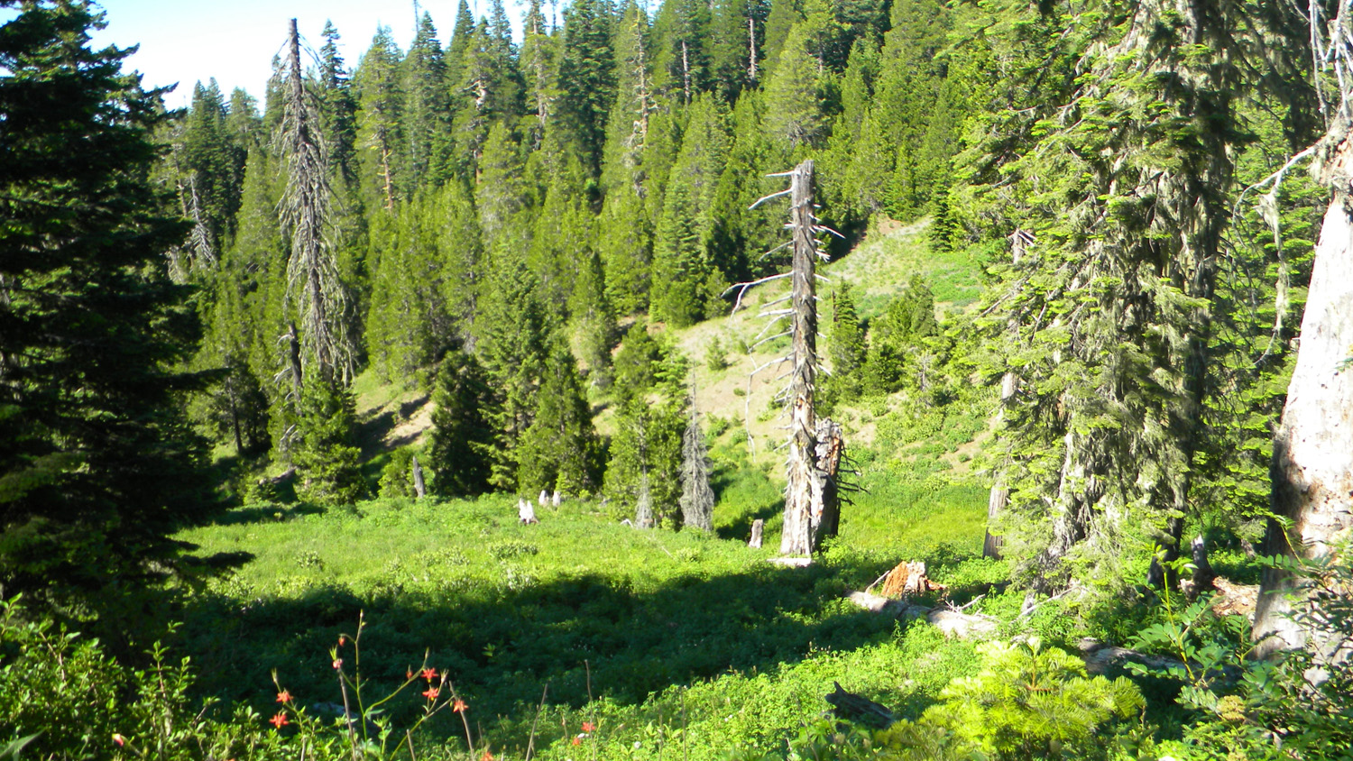
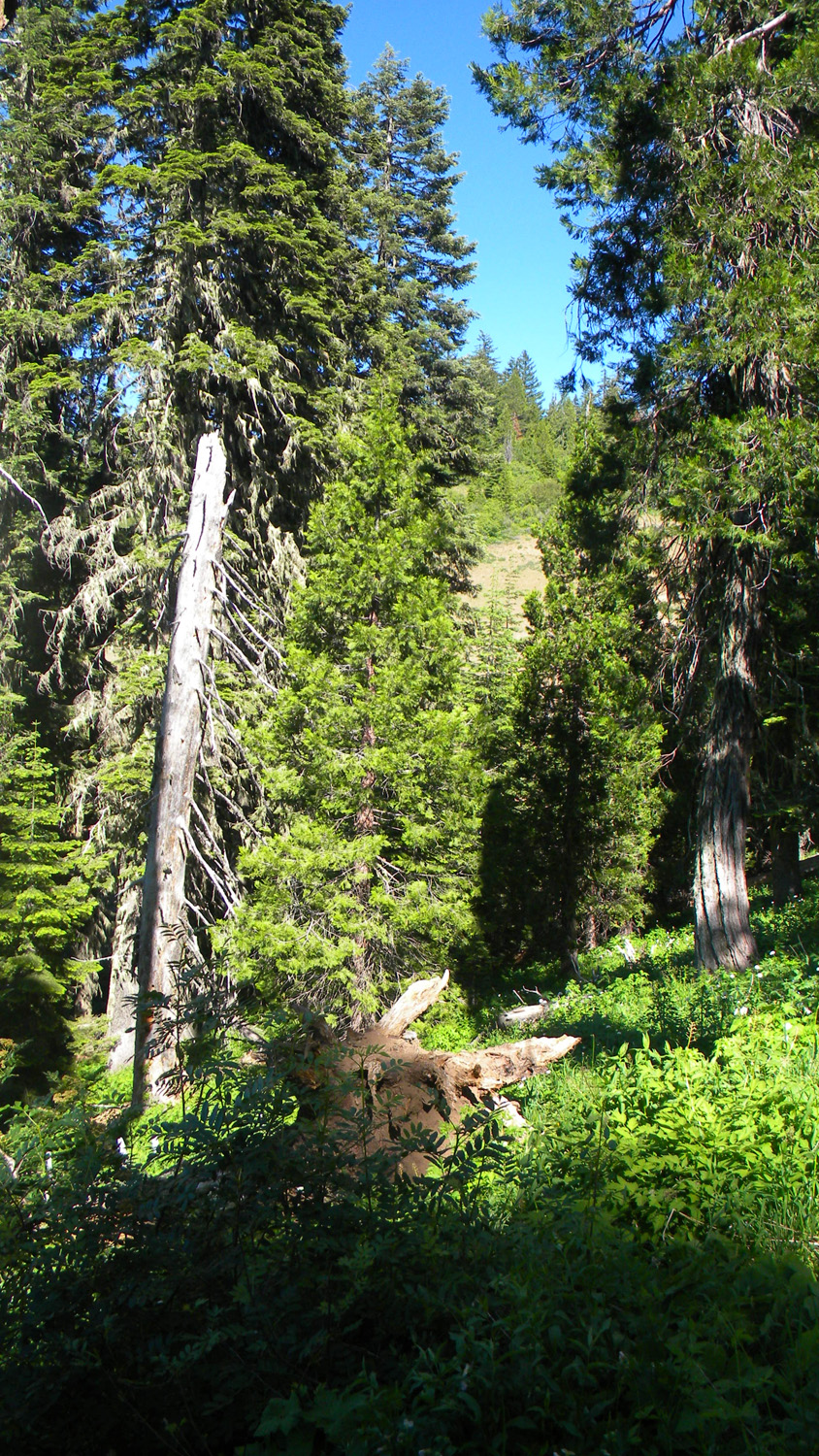
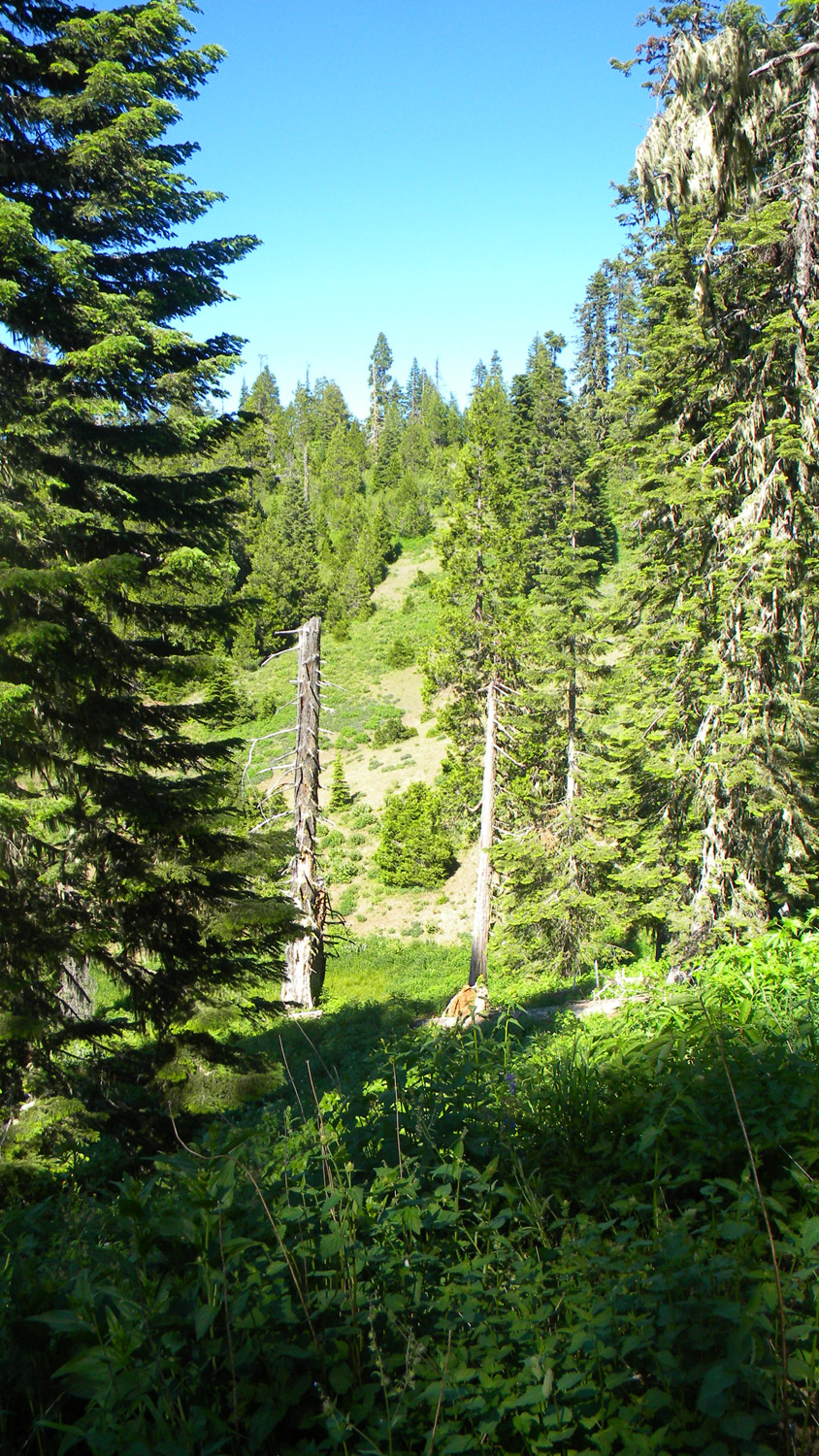
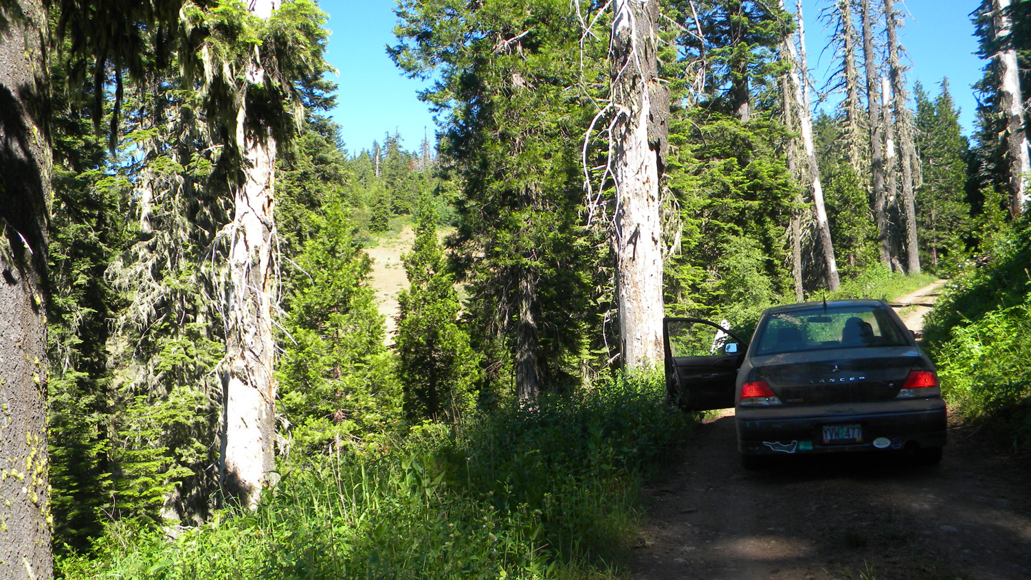
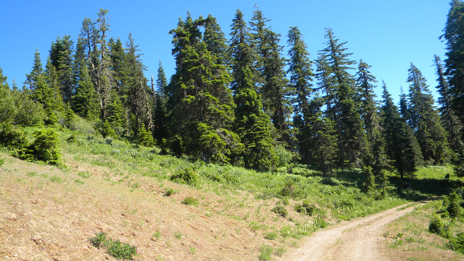
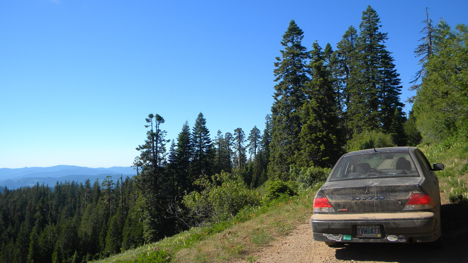
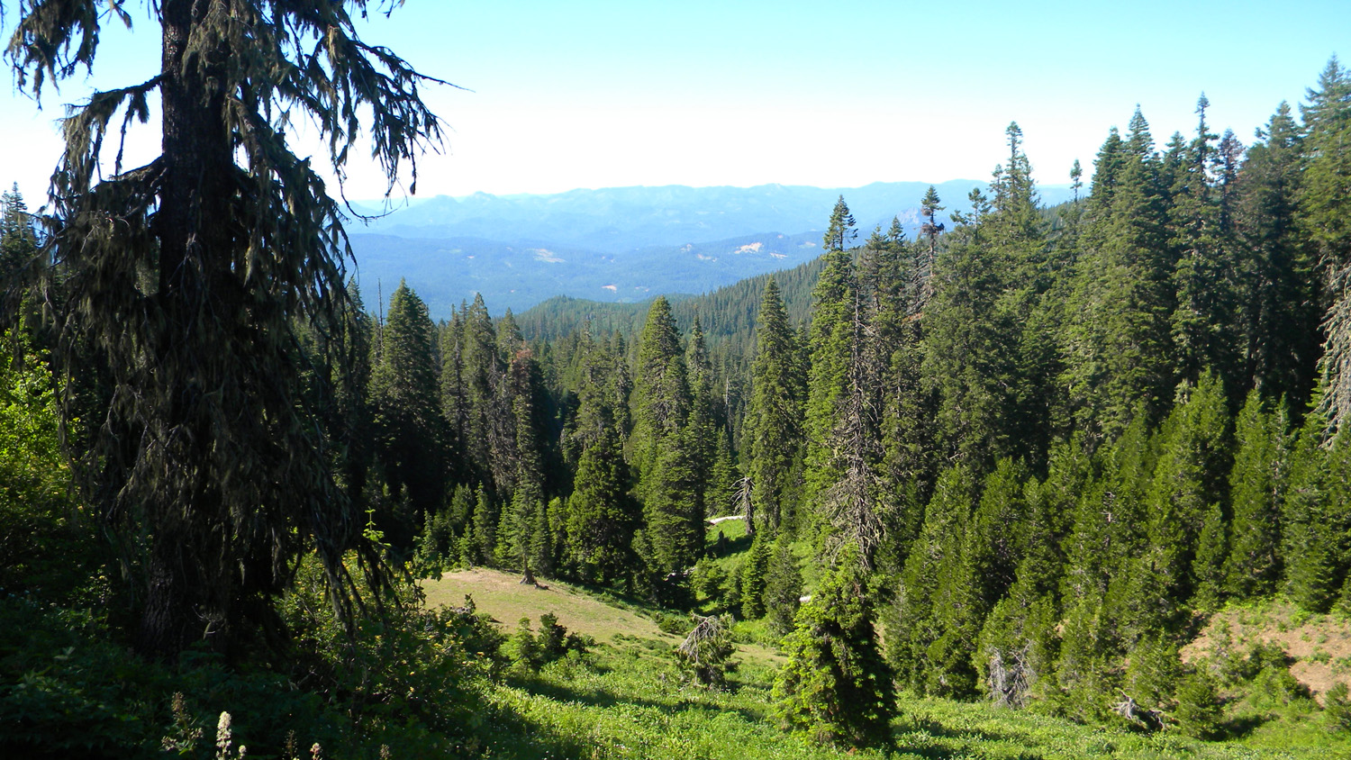
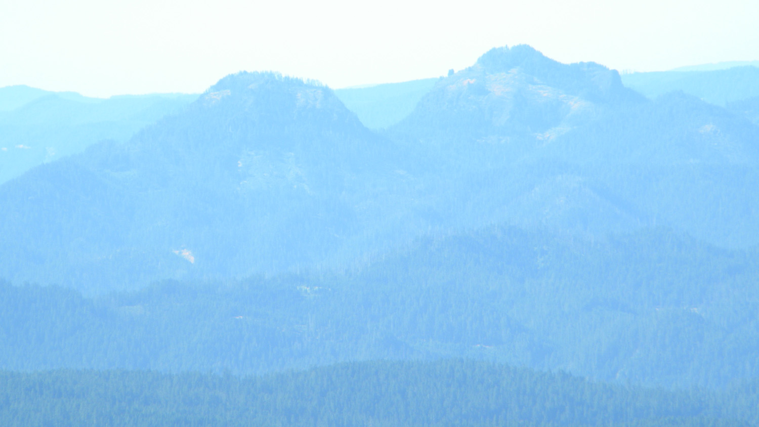
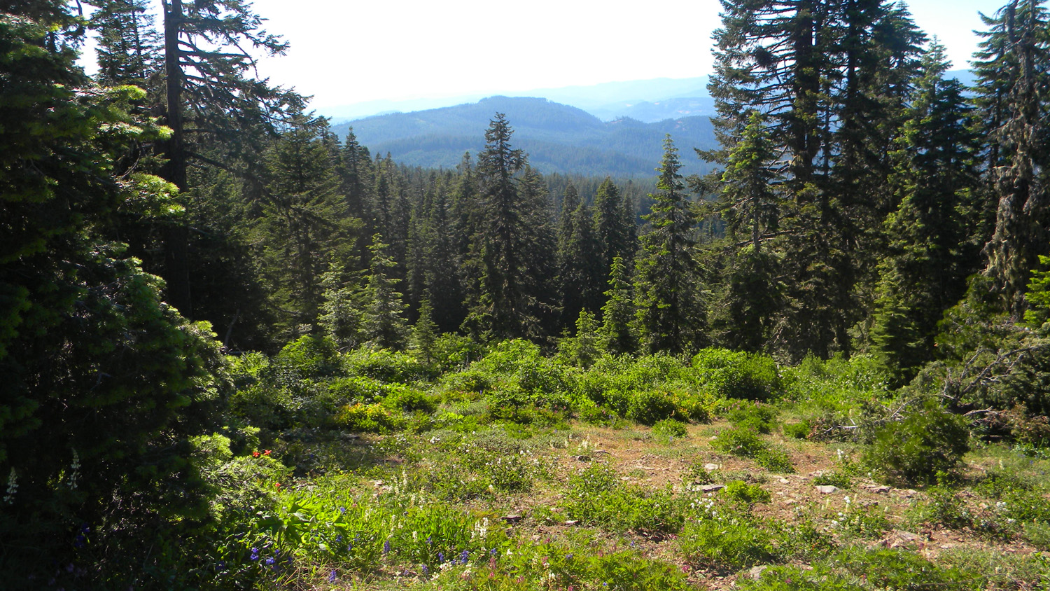
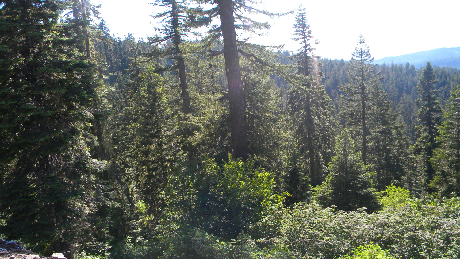
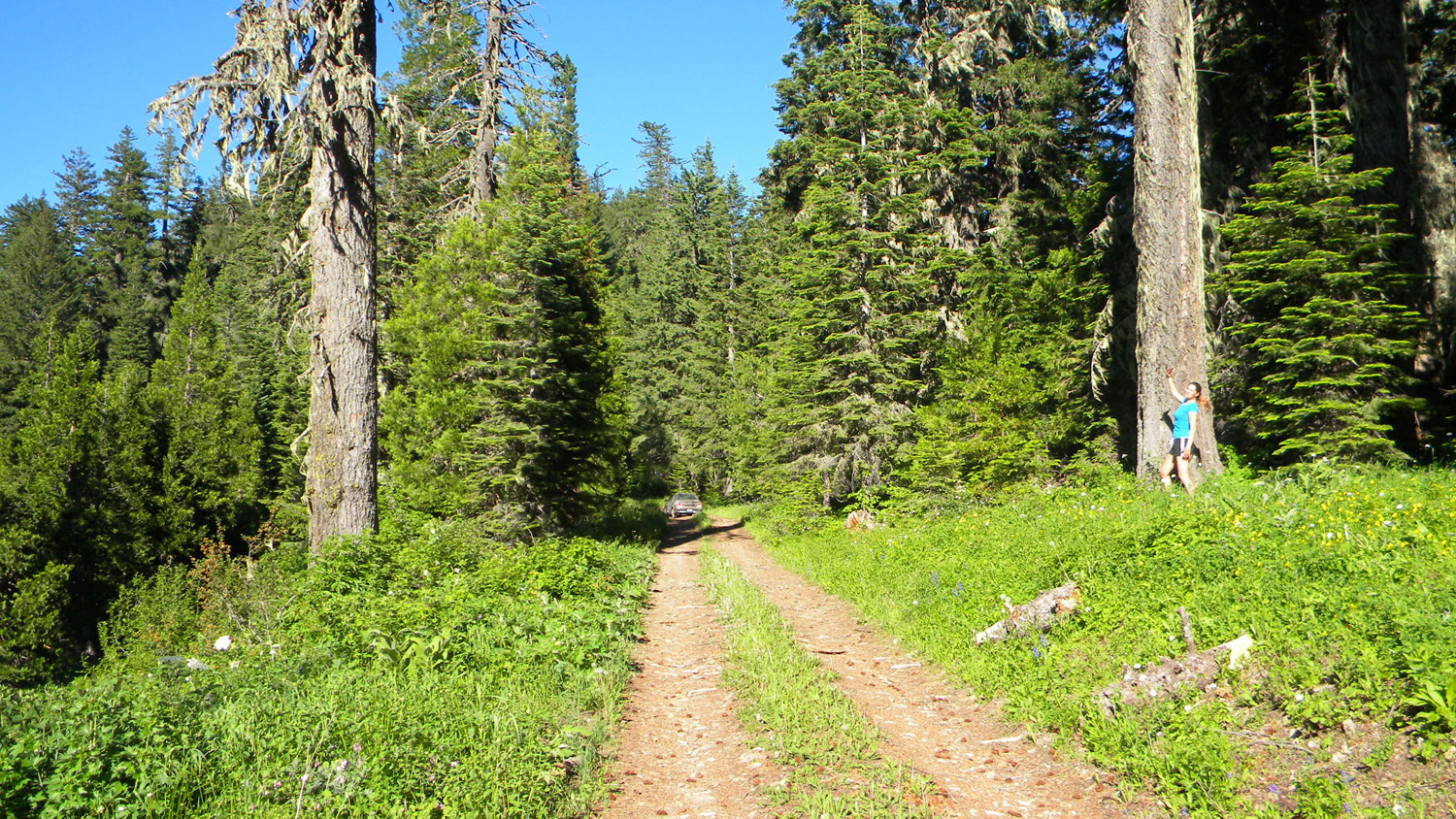
Bald Ridges, South Umpqua River, Douglas County, Oregon, July 14, 2010 (B. Zybach).
Bald Ridges Area of Special Interest is located within the Jackson Creek subbasin of the South Umpqua River drainage in Tsp. 31 S., Rng. 1 E. It contains the old Picket Butte fire lookout tower, which is included in the ORWW Osbornes Project.
Bald Ridges was selected as an "Area of Special Interest" for the Upper South Umpqua Headwaters Precontact Reference Study for several reasons: words go in here.
This page includes specific maps and aerial photographs of Bald Ridges, panoramas and QTVR video files constructed from the 2010 field research studies, and individual historical and 2010 documentary photographs showing current condtions, native plants and animals, and other points of interest related to this study area.
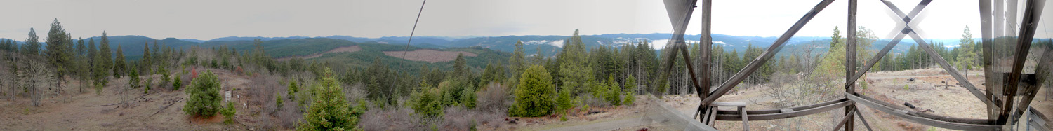
Panoramas and QTVRs
3941-3945_Butler_Butte-180 |
||
3953-3958_700_Road-180 |
||
5169-5173_800_Road-180 |
||
5182-5191_800_Road-360 |
||
5209-5214_Bald_Ridge-180 |
 |
 |
 |
 |
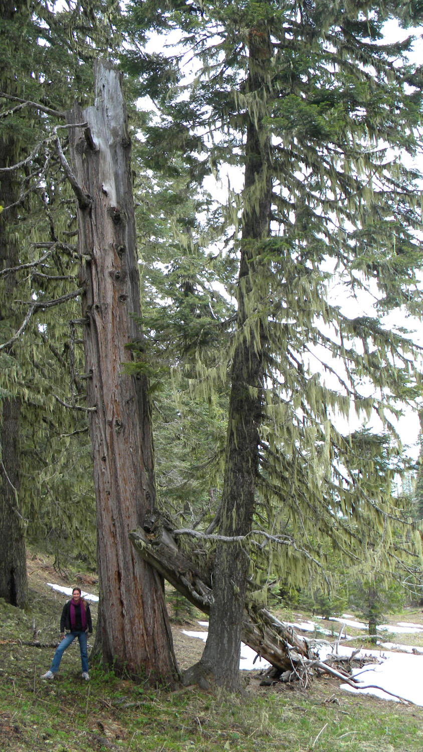 |
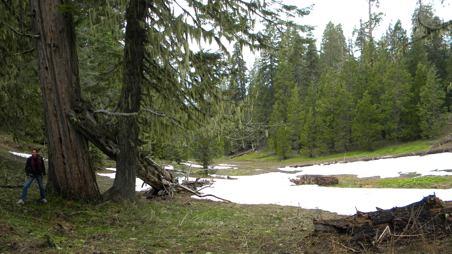
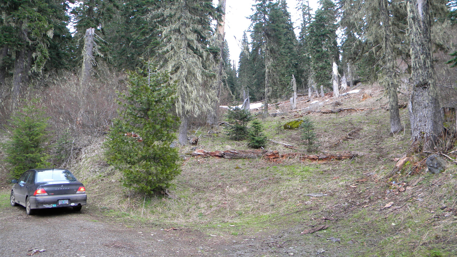
3937_Trees |
3938_Trees |
3939_Trees |
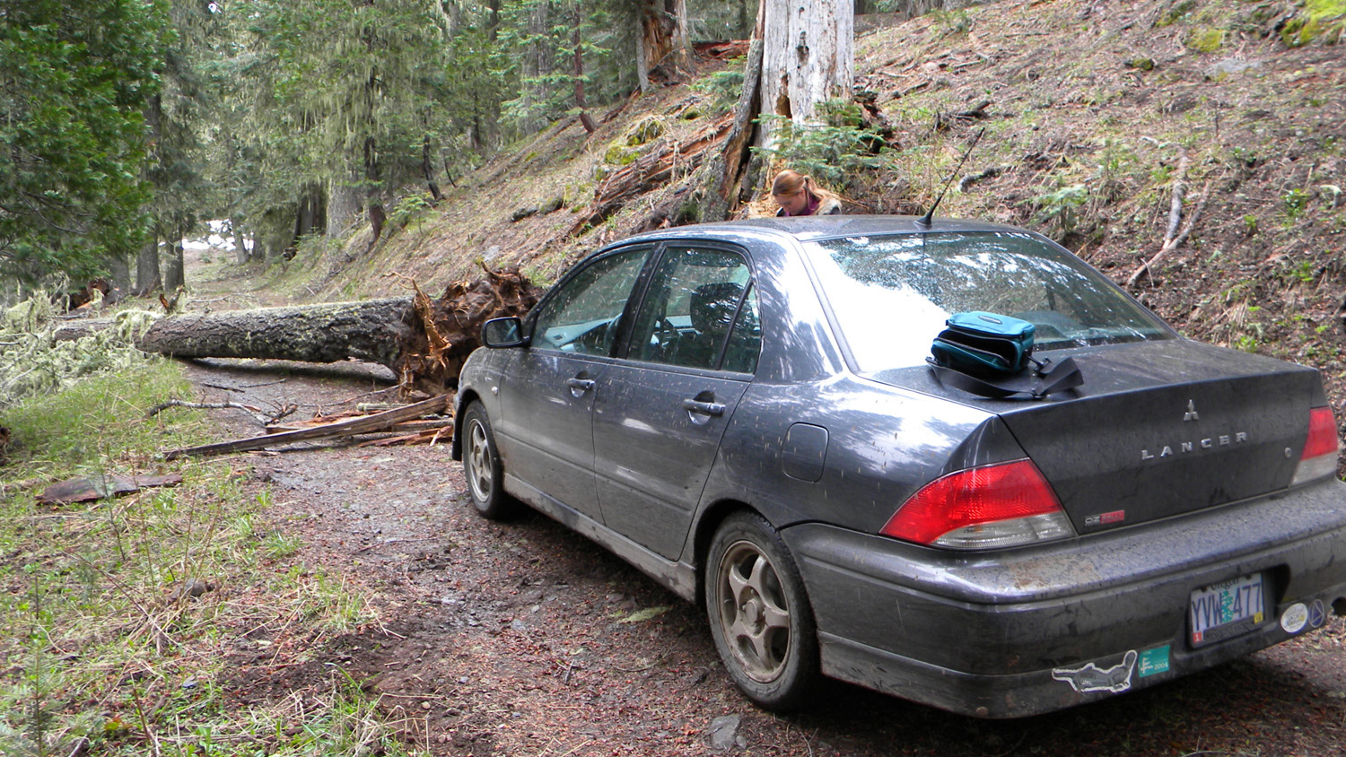
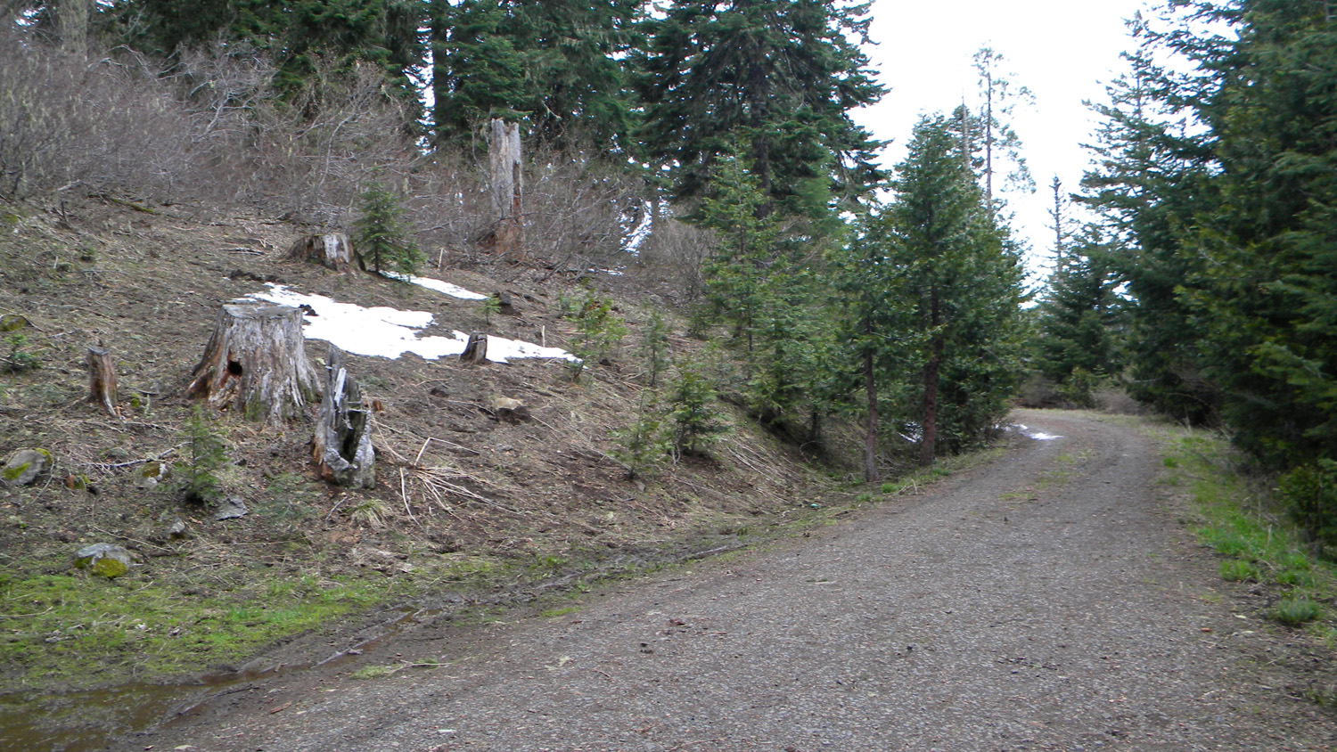
3940_800_Road_Blocked |
3946_Butler_Butte_Snow |
 |
 |
 |
 |
 |
3947_Butler_Butte_Snow |
3951_700_Road |
3952_700_Road |
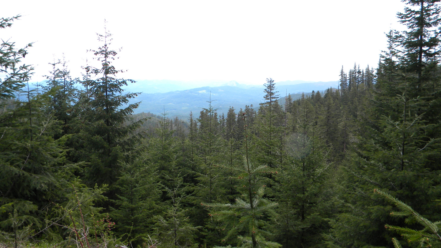
3956_700_Road_View |
3959_700_Road_View |
 |
 |
|||
3960_700_Road_Trees |
3962_700_Road_View |
3963_700_Road_View |
3964_700_Road |
3965_700_Road_View |
 |
 |
 |
||
3966_700_Road_View |
3967_700_Road_View |
3968_700_Road_Snow |
3969_700_Road_View |
3970_700_Road_Snow |
 |
 |
 |
 |
 |
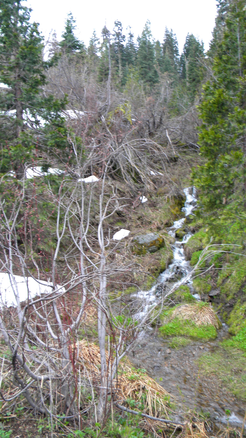
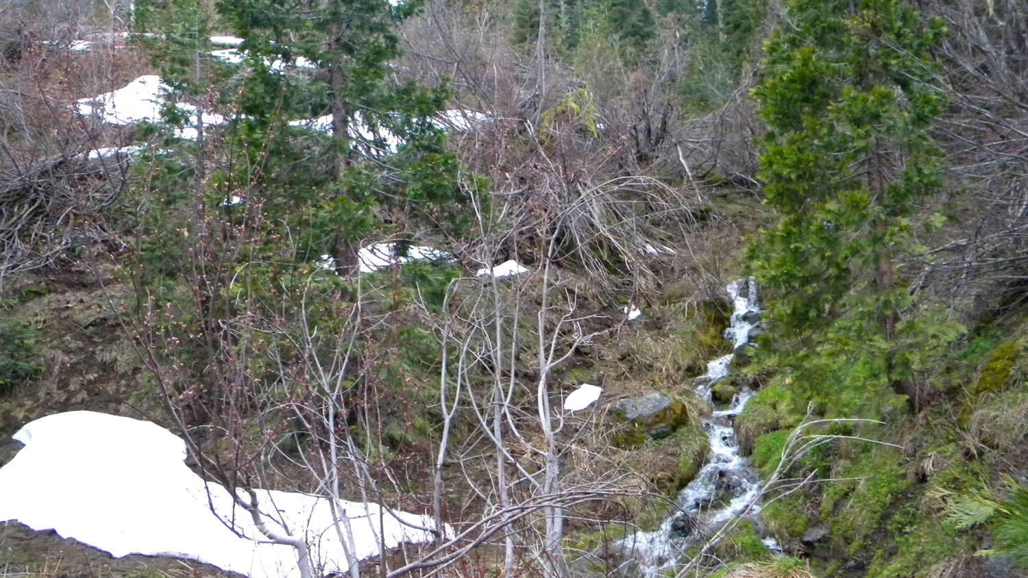
3971_Snow_and_Water |
3972_700_Road_Snow |
3997_615_Road |
3998_615_Road_End |
3999_Bald_Ridge |
 |
 |
 |
 |
 |
4000_615_Road_End |
5137_800_Road_Meadow |
5138_800_Road |
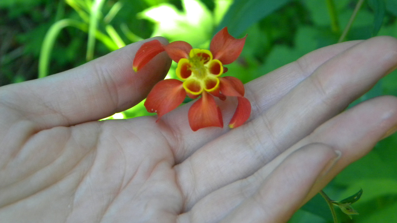
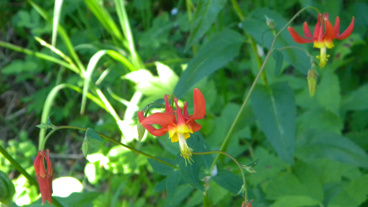
5139_Columbine |
5140_Columbine |
 |
 |
 |
 |
 |
5141_Ladies_Tresses |
5143_Ladies_Tresses |
5144_800_Road |
5146_800_Road_Meadow |
5148_800_Road_Trees |
 |
 |
 |
 |
 |
5149_800_Road_Tree |
5150_800_Road_Trees |
5151_800_Road |
5152_800_Road_View |
5153_800_Road |
 |
 |
 |
 |
 |
5154_800_Road_View |
5155_800_Road_Trees |
5156_800_Road_View |
5157_800_Road |
5158_800_Road_Trees |
 |
 |
 |
 |
 |
5164_810_Road_Meadow |
5165_810_Road |
5166_810_Road_Meadow |
5167_810_Road_Meadow |
5168_810_Road_Meadow |
 |
 |
 |
 |
 |
5171_800_Road_Meadow |
5174_800_Road_View |
5175_800_Road |
5176_800_Road |
5177_800_Road_Meadow |
 |
 |
 |
 |
 |
5178_800_Road_View |
5179_800_Road_Meadow |
5180_800_Road_Plants |
5181_800_Road |
5192_800_Road_Plants |
 |
 |
 |
 |
 |
5193_800_Road_Plants |
5194_800_Road |
5196_Bald_Ridge |
5197_800_Road |
5198_Bald_Ridge |
 |
 |
 |
 |
 |
5199_Bald_Ridge_Meadow |
5200_Bald_Ridge |
5201_Bald_Ridge |
5202_Bald_Ridge |
5203_Bald_Ridge |
 |
 |
 |
 |
 |
5204_800_Road |
5205_Bald_Ridge |
5206_700_Road_Trees |
5207_700_Road_View |
5208_700_Road |
 |
 |
 |
 |
 |
5212_Bald_Ridge_View |
5215_700_Road_View |
5216_700_Road_View |
5217_700_Road_View |
5218_700_Road_View |
 |
 |
 |
 |
 |
5219_700_Road_Trees |
5220_700_Road_Rock |
5221_700_Road_Rocks |
5222_700_Road_Rock |
5223_700_Road_Rocks |
 |
 |
 |
 |
 |
5224_700_Road_Peak |
5225_Tucker_Meadow |
5226_Flowers |
5227_Tucker_Gap |
5228_Tucker_Gap |