Coos Bay Historical District
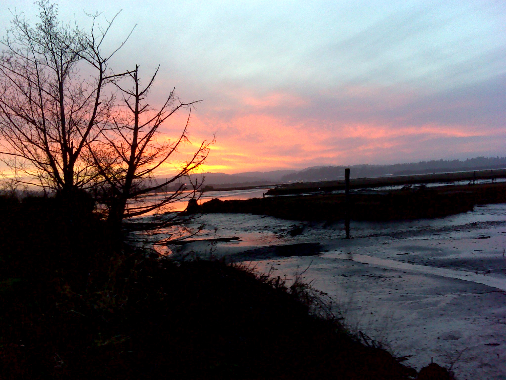
Sunset, East Bay Road, January 5, 2012 (georeferenced photo by B. Zybach).
This district is almost entirely defined by the tides. People who lived in the Coos Bay area during early historical times relied almost exclusively on canoe transportation for most traveling of any distance. Not surprisingly, early journalists and immigrants considered these people excellent canoe builders and operators. The district extends northward to the extent of tidewater, near present-day Hauser; southward to the watershed separating the Coquille River (Bandon Historical District) from the tidewaters of Isthmus Slough and South Slough; eastward to the mouth of the Coos River (Allegany Historical District); and west to the Pacific Ocean.
Two of the defining events in the history of roads and trails in this district were the coincidental arrival of the Coose Bay Commercial Company and the local discoveries of gold and coal in June 1853, and the forced removal of remaining local Indian families in July 1856 (Zybach 2012). Coos Bay Historical District is shown on Map 5 and Table 2.
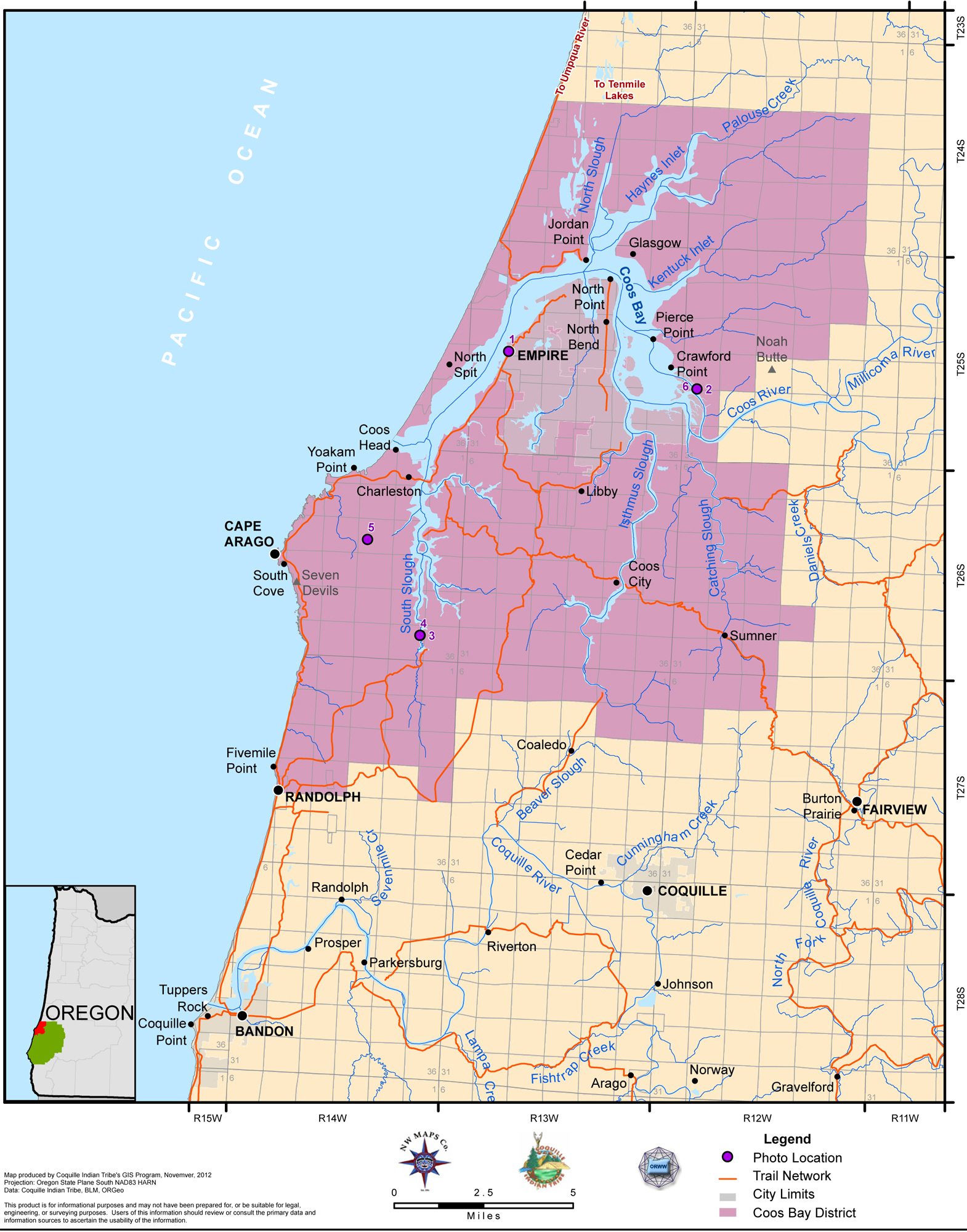
Map 5. Coquelle Trails: Coos Bay Historical District (Zybach, Ivy & Harkins 2012).
|
|
|
|
|
|
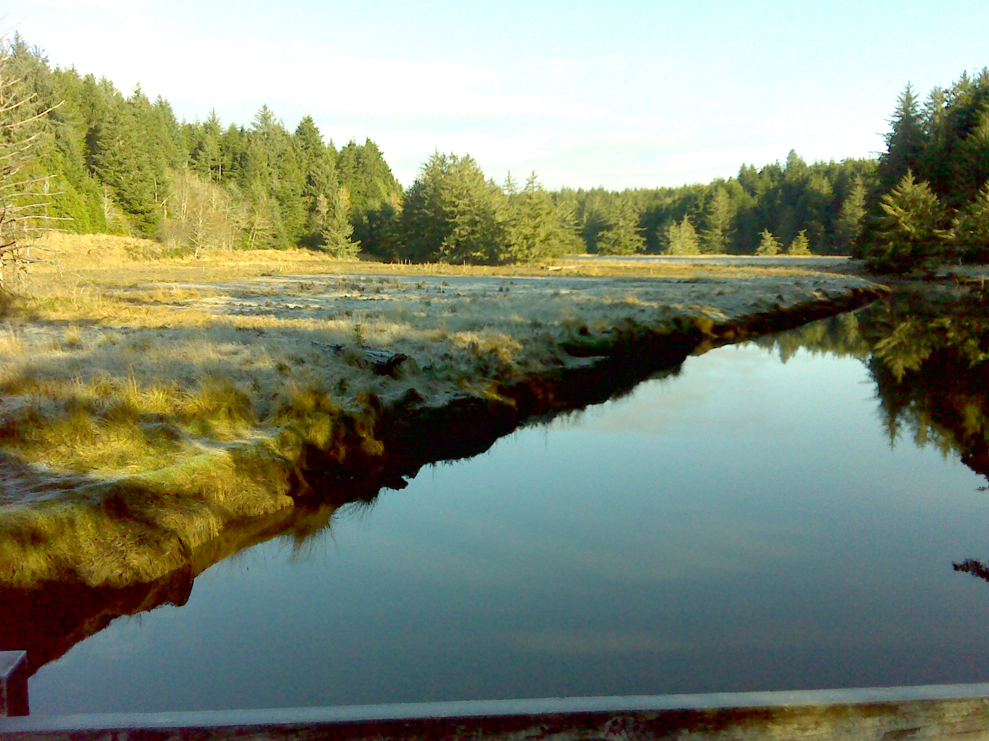
Table 2. Coquelle Trails: Coos Bay Historical District (B. Zybach 2011, 2012).
![]()