Bandon Historical District
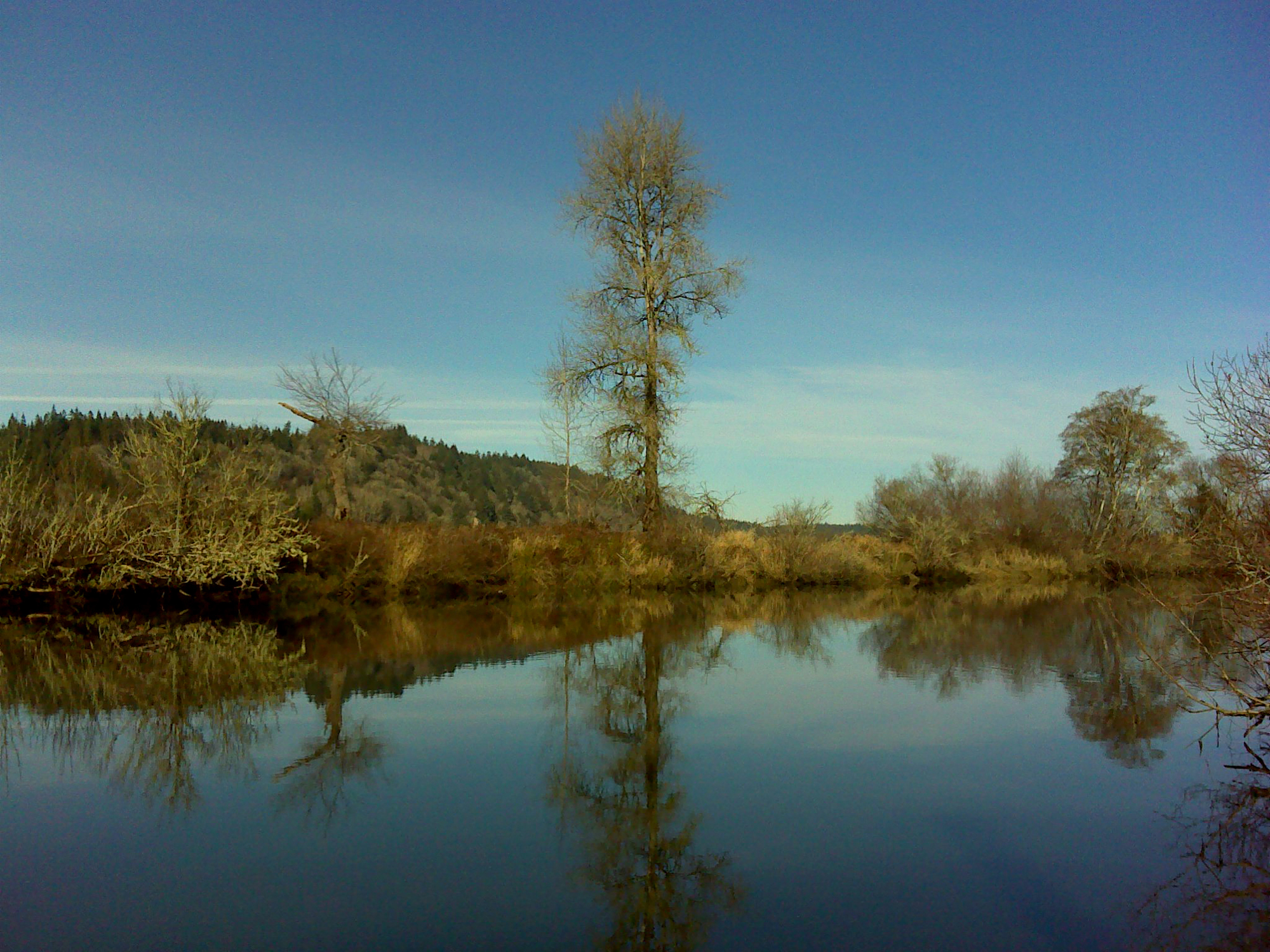
Coquille River at Riverton, January 12, 2012 (georeferenced photo by B. Zybach).
This district is primarily formed by the mainstem Coquille River and its tributaries from its mouth at the ocean, east to the head of tidewater at “the forks” just north of Myrtle Point. Coos Bay watershed forms the northern boundary (Coos Bay Historical District); the watershed separating the mainstem Coquille from the North Fork is the eastern extent (Fairview Historical District); then southward near the mouth of New River (Port Orford Historical District), and including Twomile Creek basin.
This area includes some of the northernmost and most horrific encounters between local Indian families and invasive white miners and settlers during the Rogue River Indian Wars from 1851 to 1856 (Zybach 2012) -- the T’Vault, Casey, and Nasomah massacres -- in addition to uncounted rapes, beatings, and murders during that timeframe. These are the people Grandma Ned describes when she says: “They used the river for a highway, and their trails laced through the hills and valleys” (Ward 1986: 7). The principal north-south foot trail through this district was probably the sandy beaches that stretched along the coastline, with just one river and one headland to cross, and both in the same location. Bandon Historical District is shown on Map 7 and Table 4.
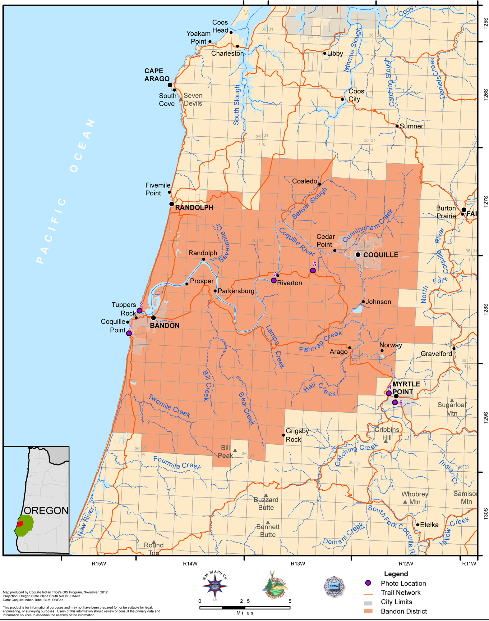
Map 7. Coquelle Trails: Bandon Historical District (Zybach, Ivy & Harkins 2012).
|
|
|
|
|
|
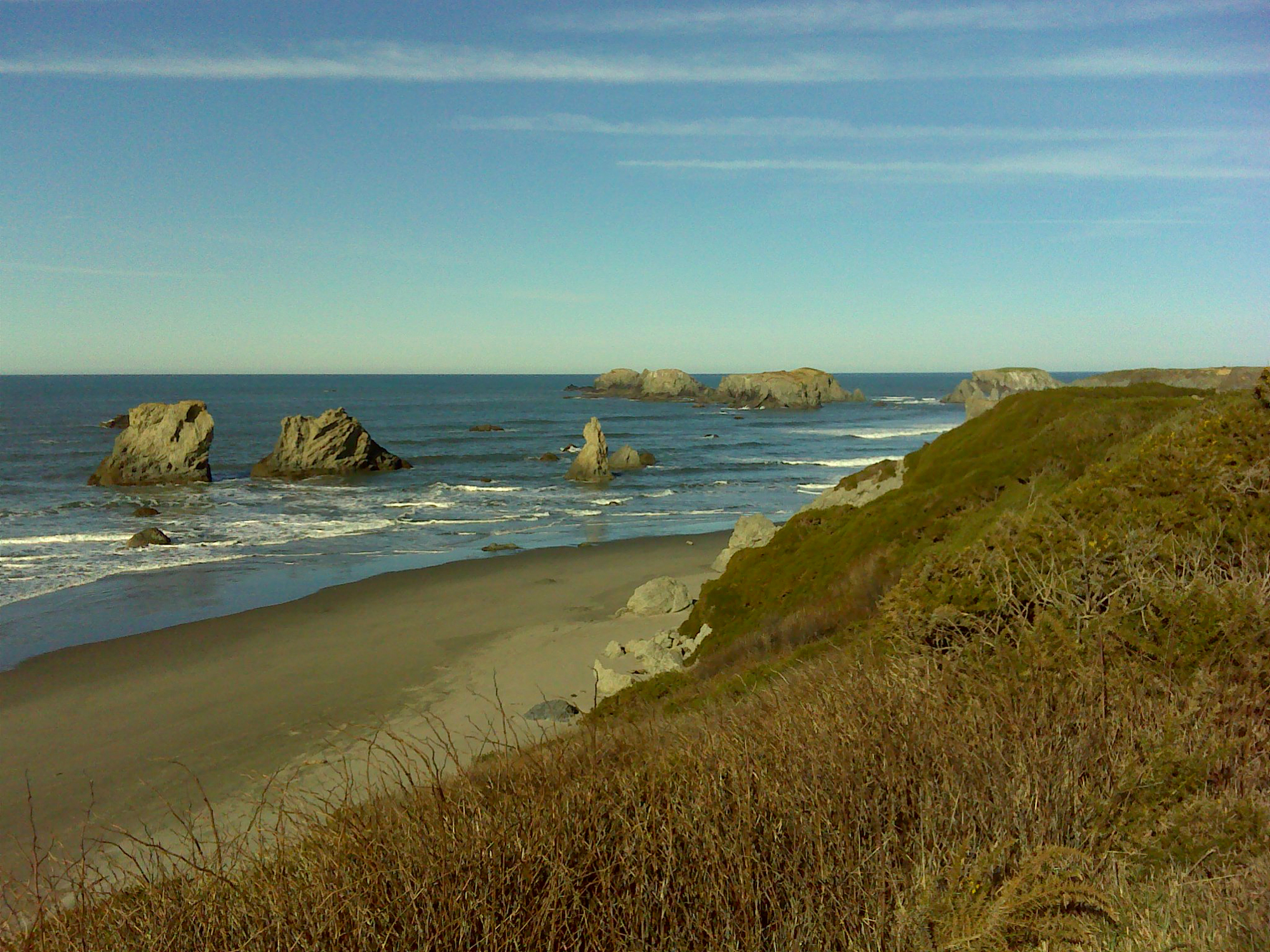
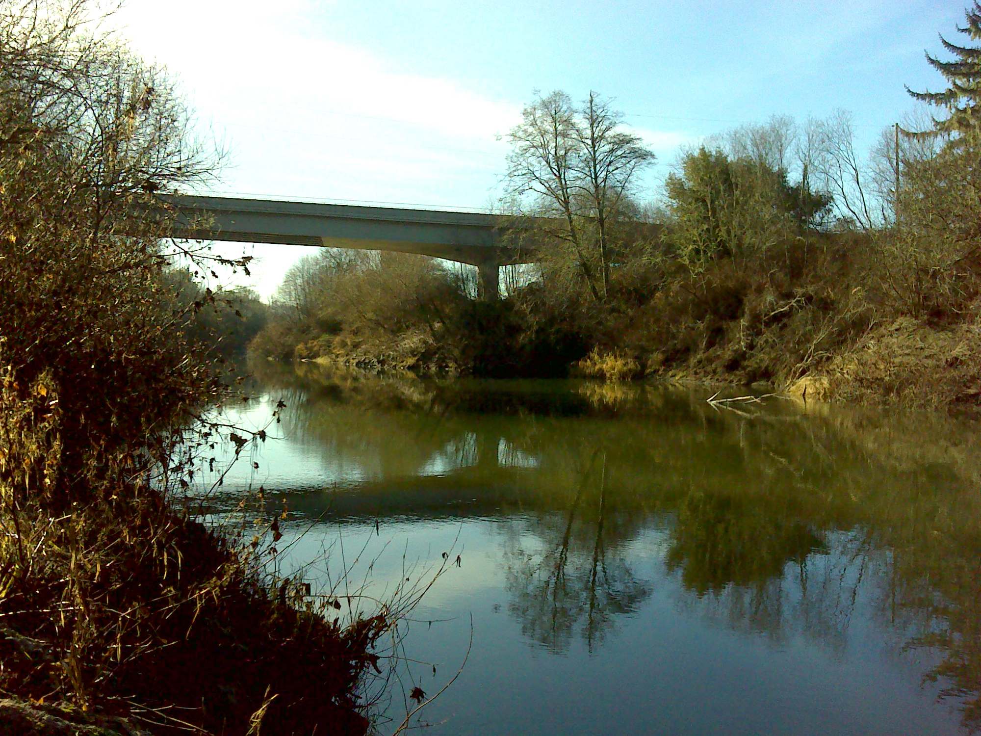

Table 4. Coquelle Trails: Bandon Historical District (B. Zybach 2012).
![]()