
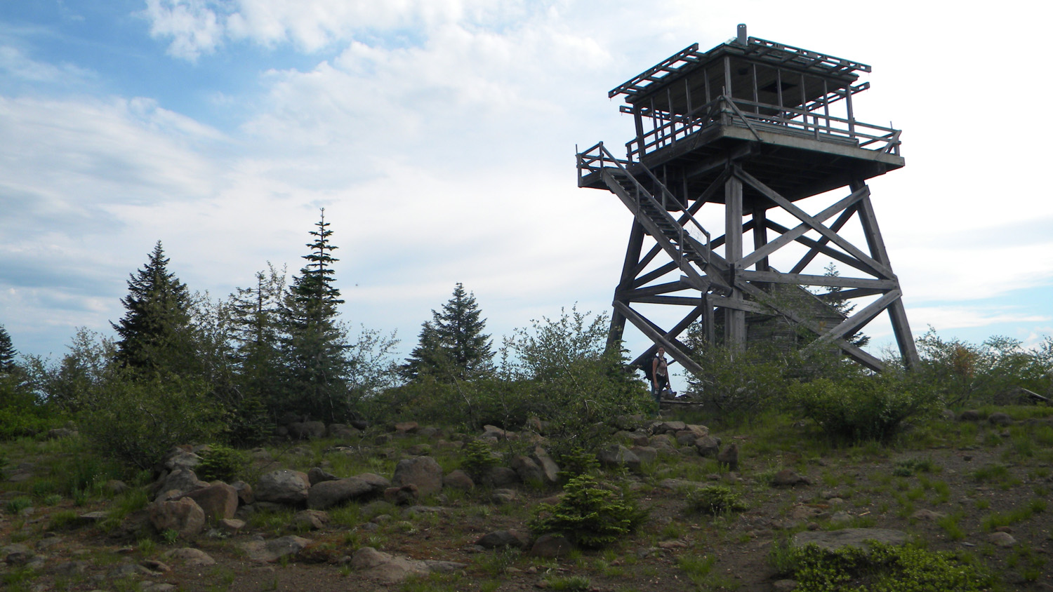
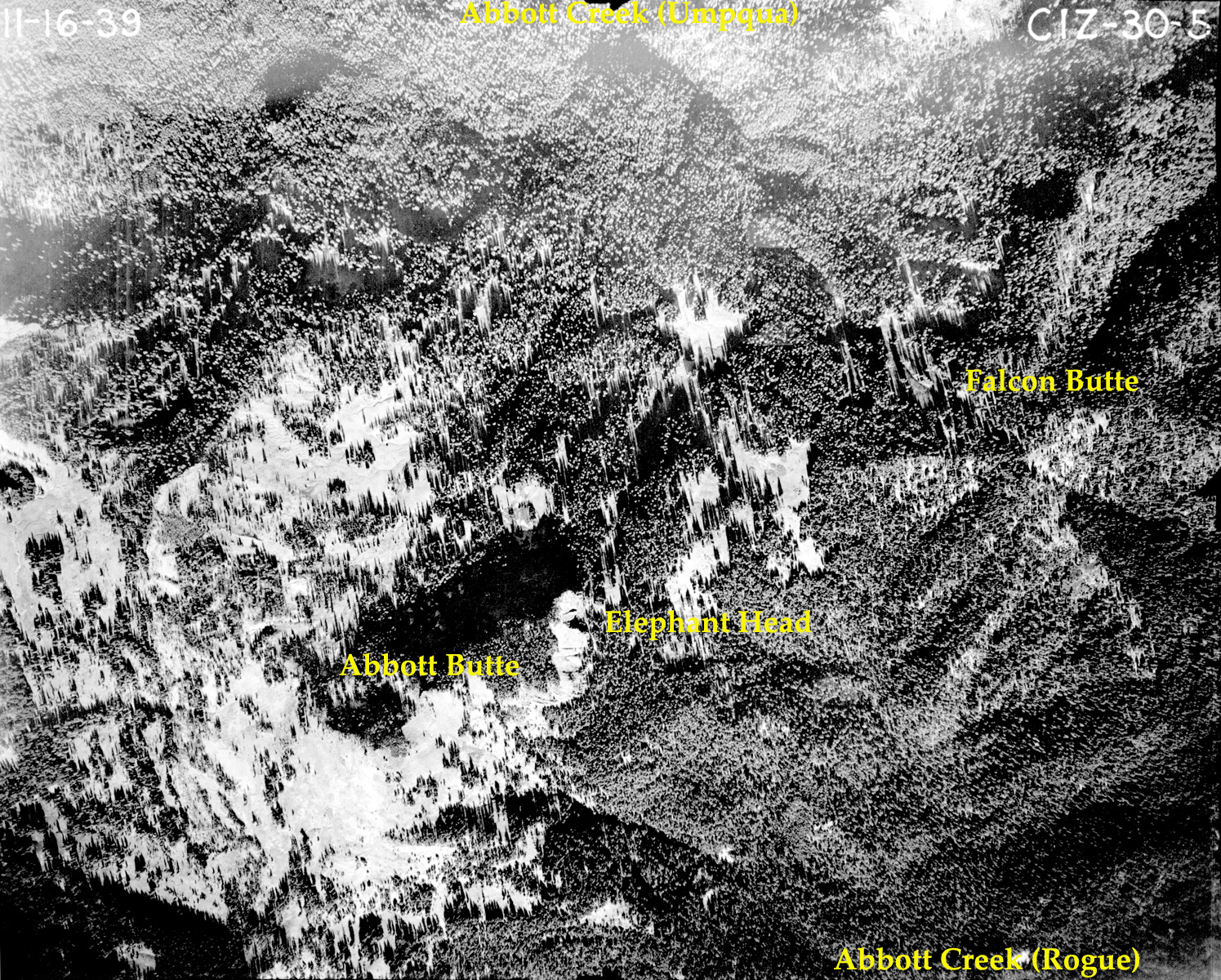
Abbott Butte
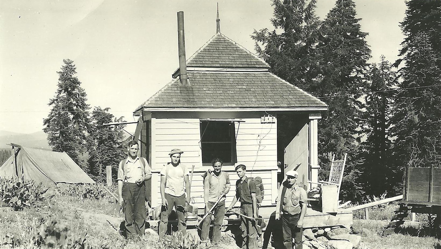
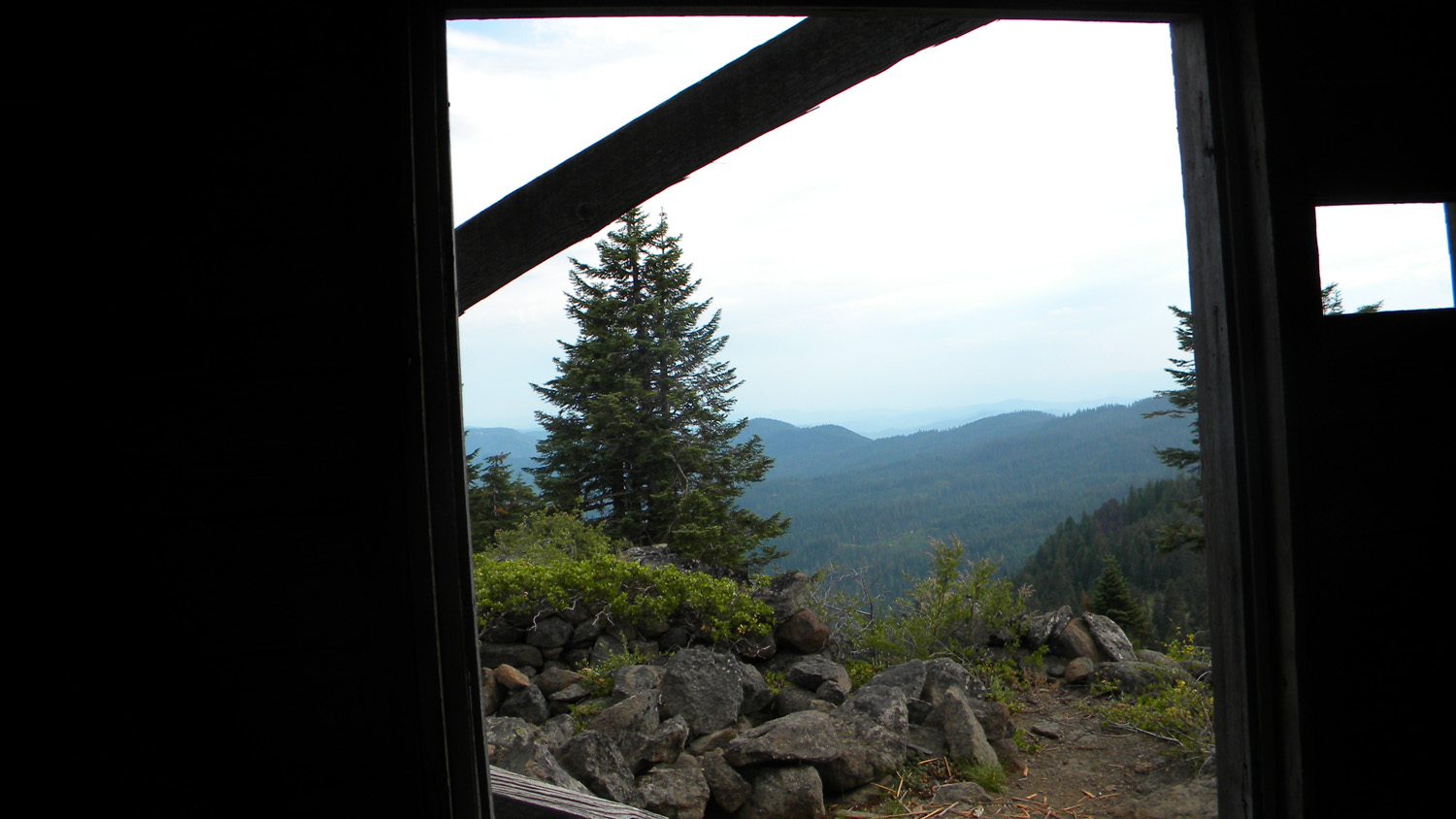
View west from the Abbott Butte Fire Lookout Tower, Douglas County, Oregon, July 24, 1933 (Sarlin & Birchall).
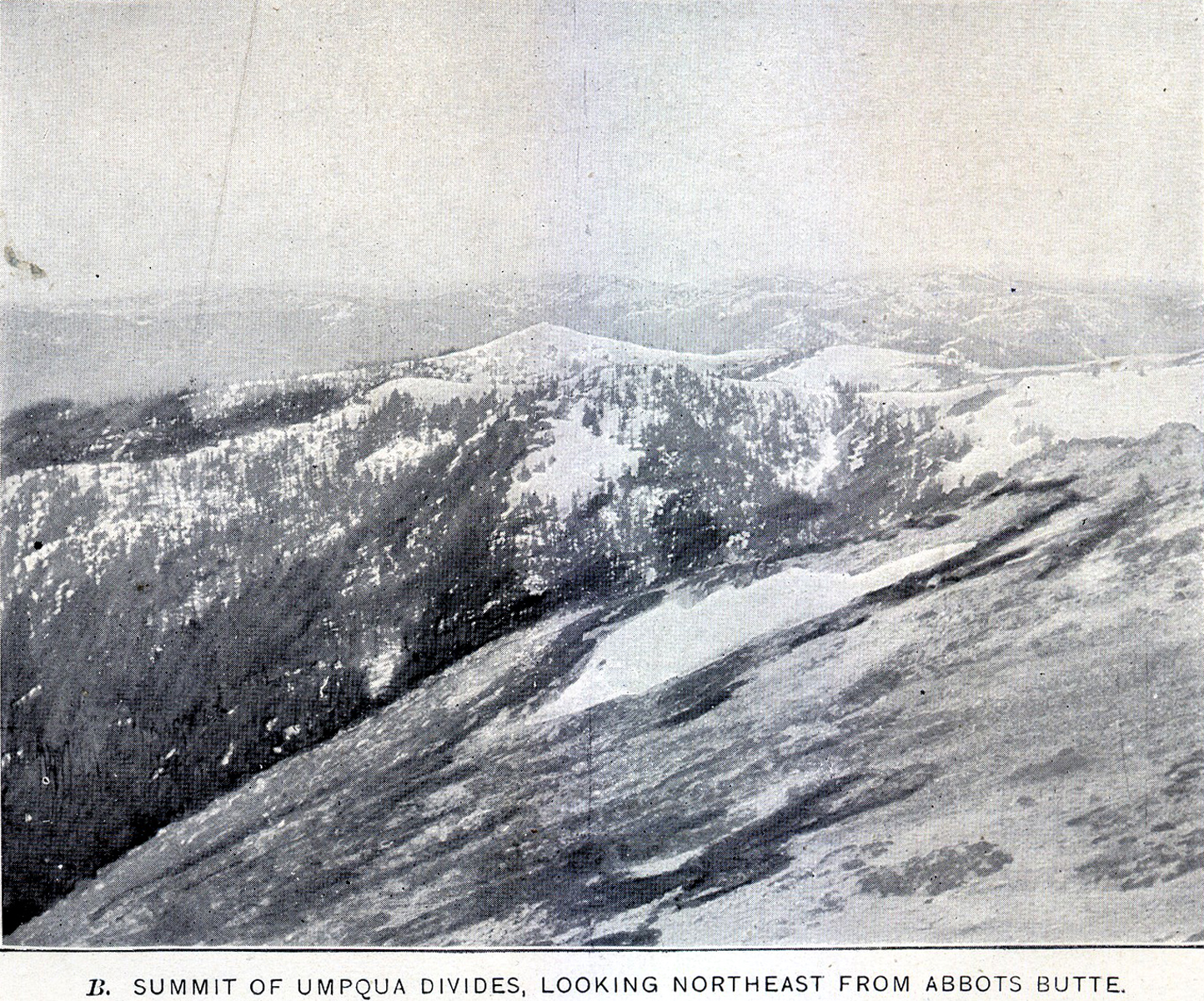
Abbott Butte is located in Section 23, Tsp. 30 S., Rng. 2 E., at 6,131 feet elevation in the Jackson Creek subbasin of the South Umpqua River in Douglas County, Oregon. Kemnow Online History.
The Abbott Butte Area was selected as an "Area of Special Interest" for the 2010 South Umpqua Headwaters Precontact Reference Conditions Study for several reasons, including its cultural and botanical significance and as an important landmark in early historical time (Leiberg 1900: 309-311).
This page includes specific maps and aerial photographs of Abbott Butte, panoramas and QTVR video files constructed from the 2010 field research studies, and individual historical and 2010 documentary photographs showing current condtions, native plants and animals, and other points of interest related to this study area.
Panoramas and QTVRs
Abbott Butte Sarlin & Birchall July 24, 1933 |
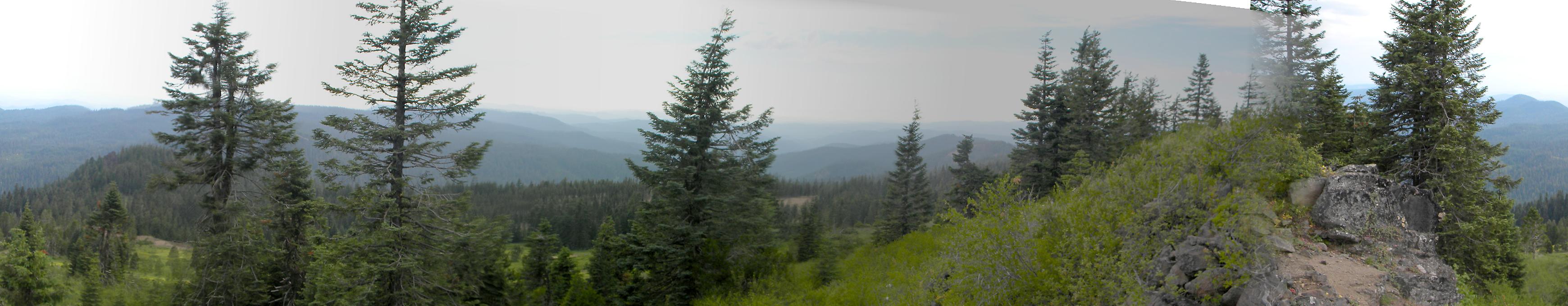
West 180° - 300°
|
|
|
North 300° - 60°
|
|
|
East 60° - 180°
|
 |
 |
 |
 |
 |
 |
|
| 1899_Abbott_Butte | 1942_Abbott_Butte
|
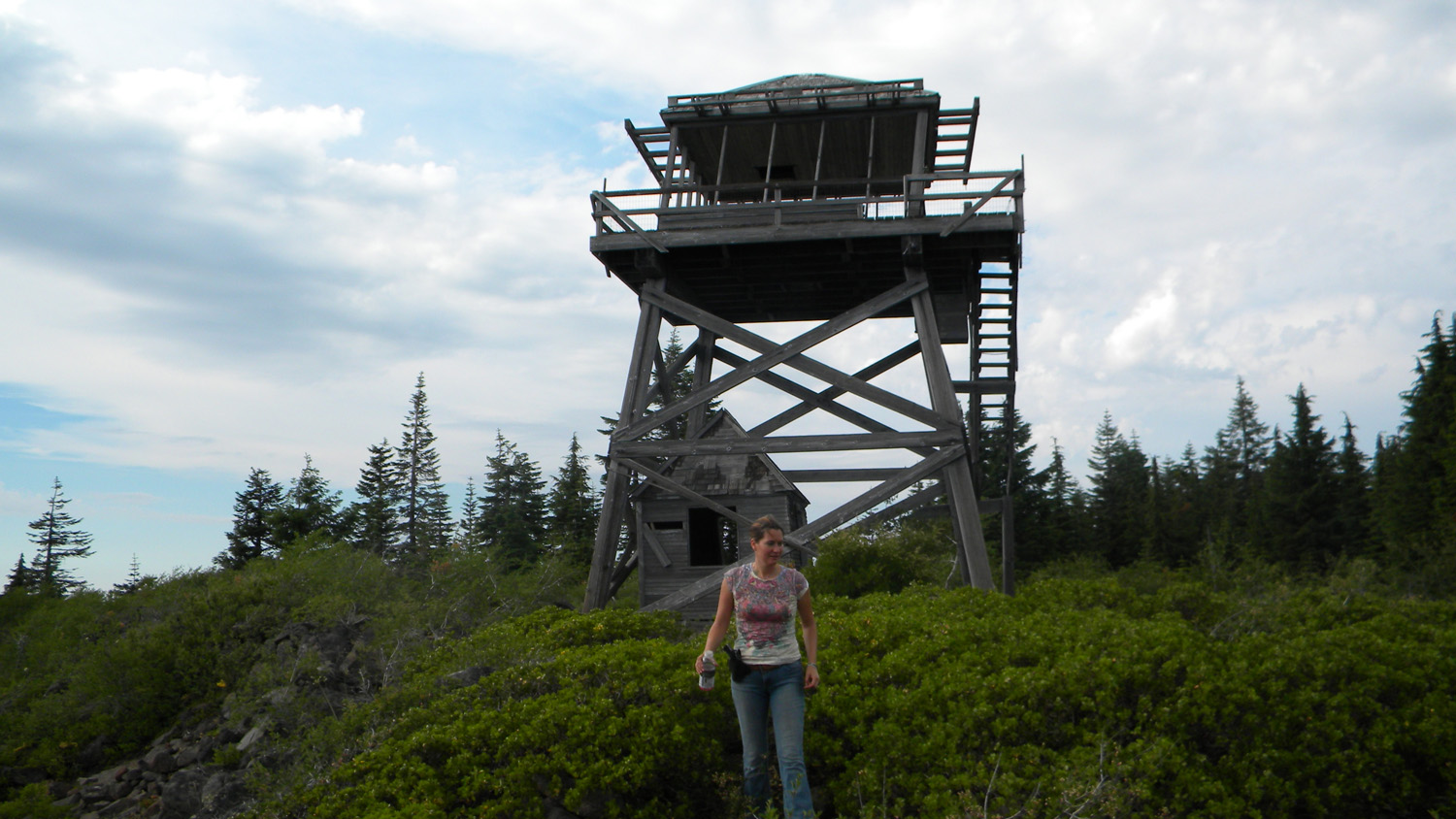
5516_Abbott_Lookout
|
5518_Abbott_Lookout
|
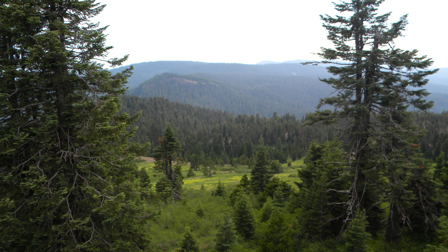
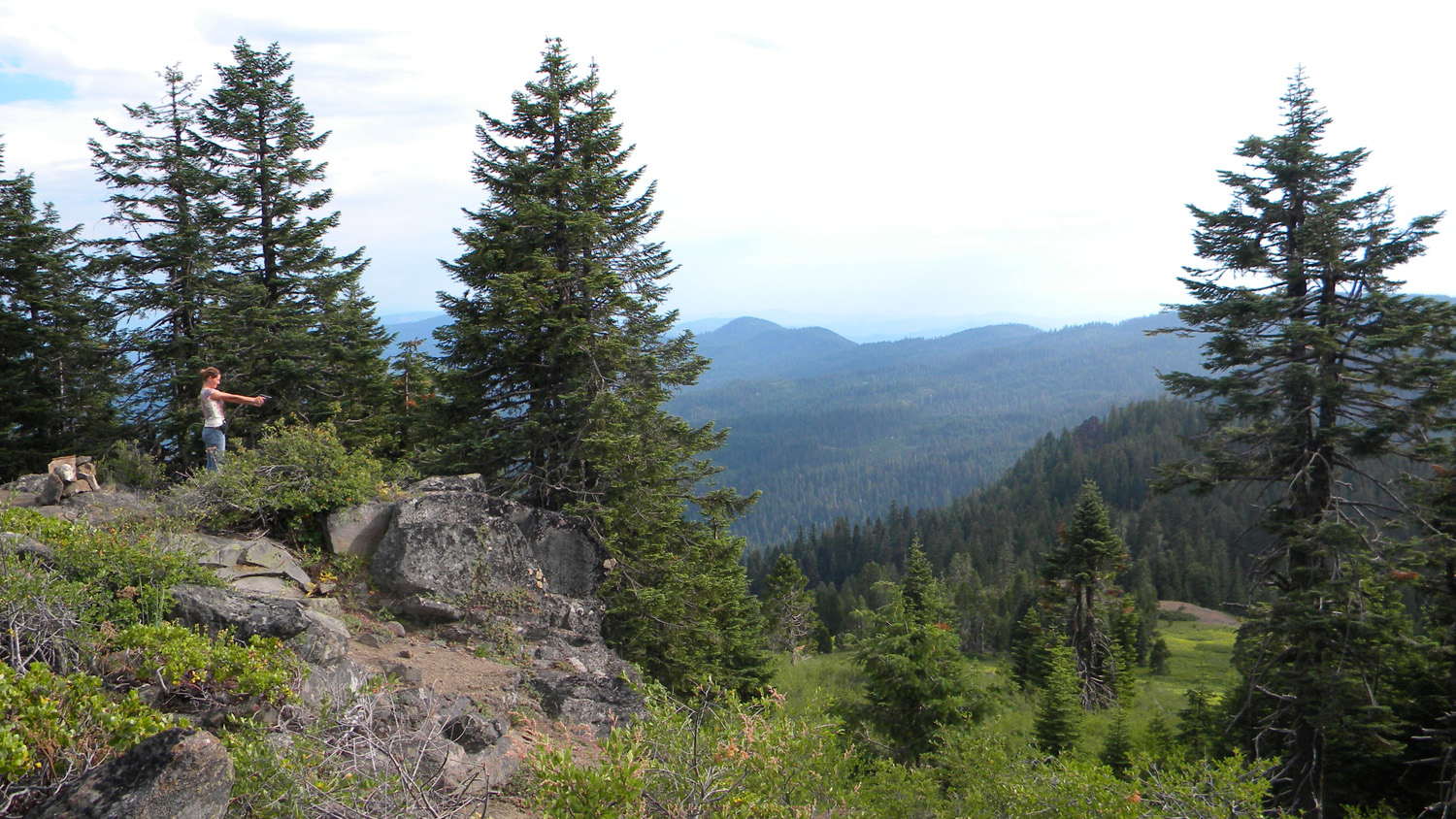
5523_Abbott_Butte_View
|
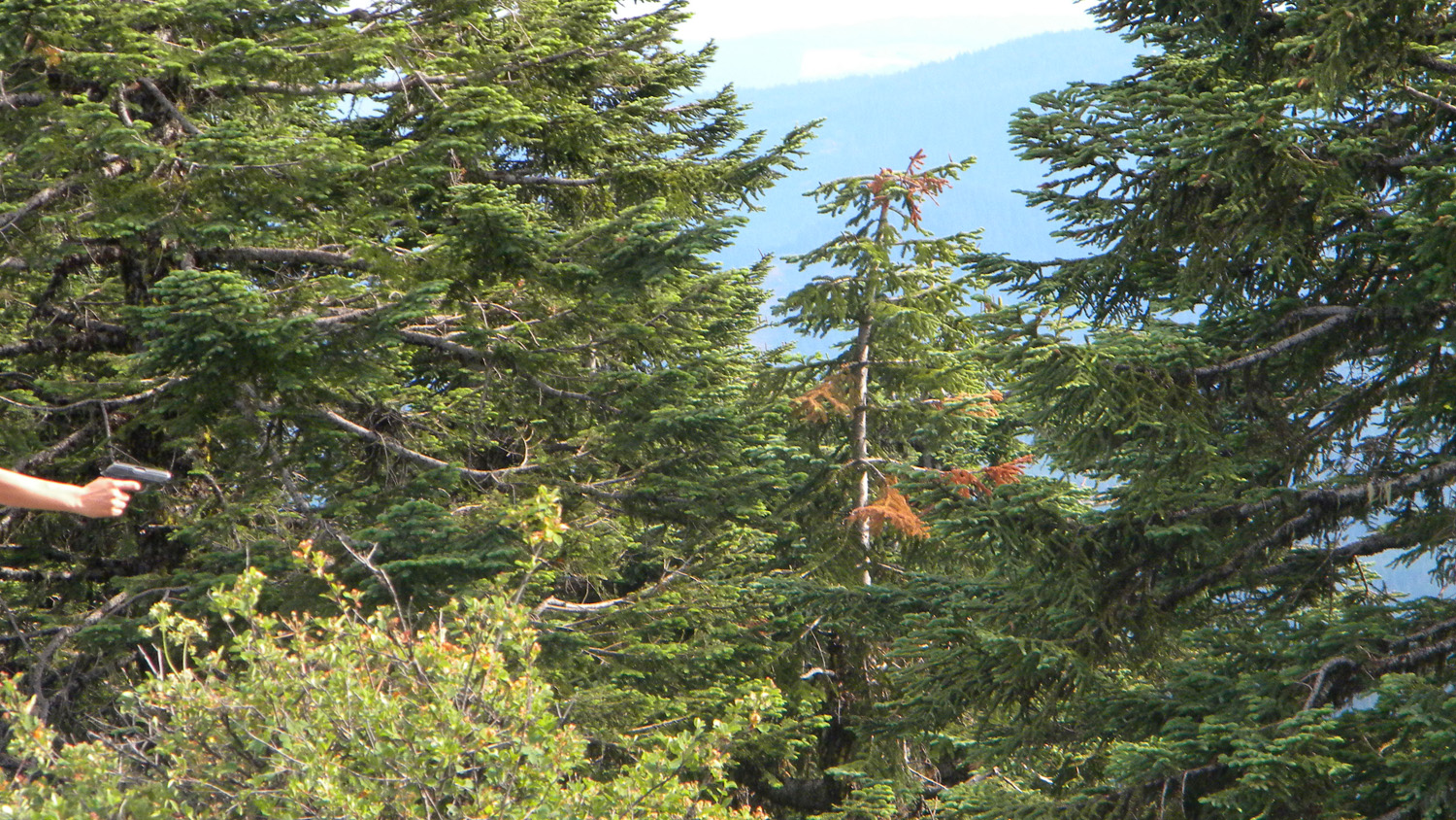
5524_Abbott_Butte_Top
|
 |
|||||
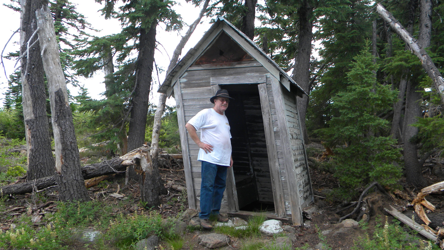
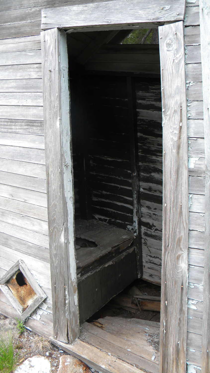
5526_Outhouse
|
5527_Outhouse
|
5528_Abbott_Buttte_Top
|
5531_Abbott_Butte_View
|
![]()
© 2006-2011, 2020 Oregon Websites and Watershed, Inc. & NW Maps Co.
