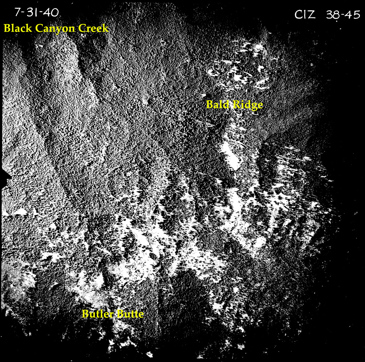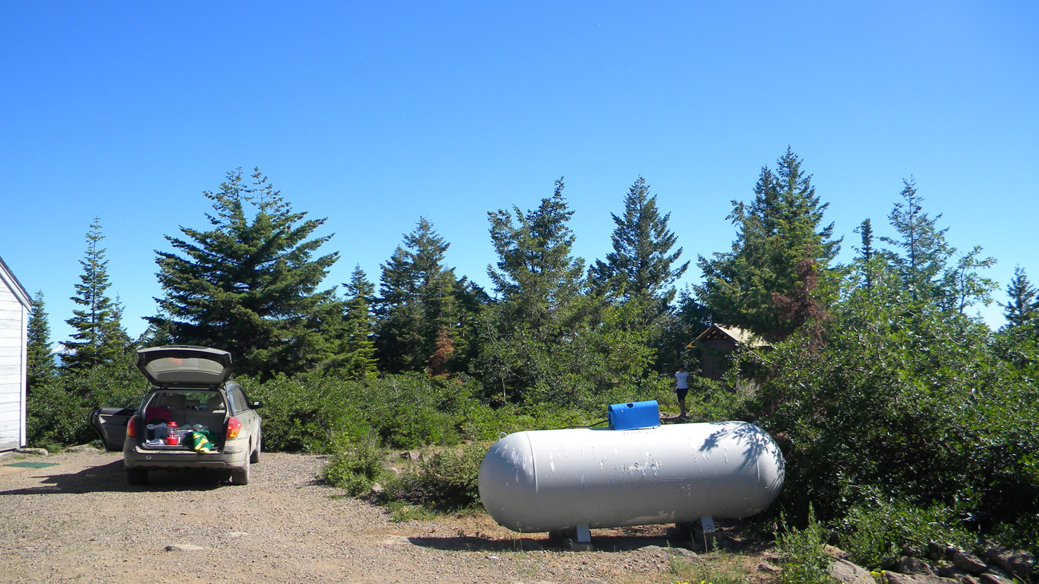
Butler Butte
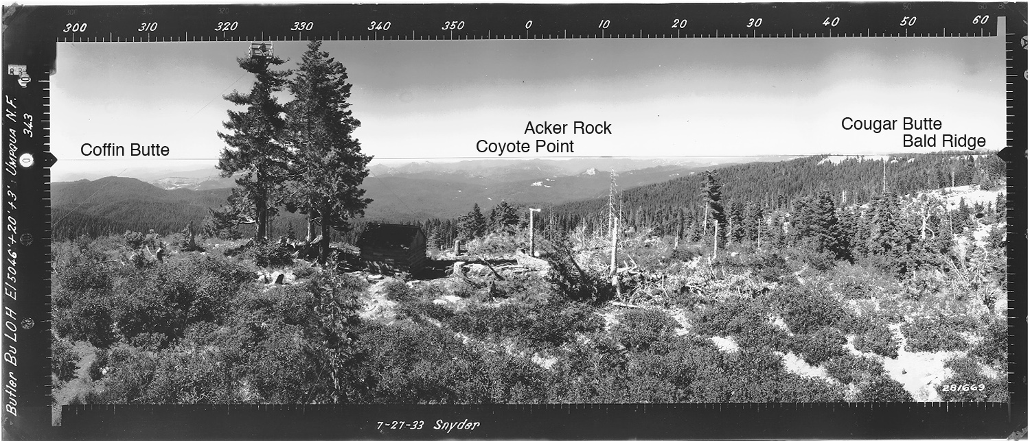
View north from Butler Butte Fire Lookout, Douglas County, Oregon, July 27, 1933 (Snyder).
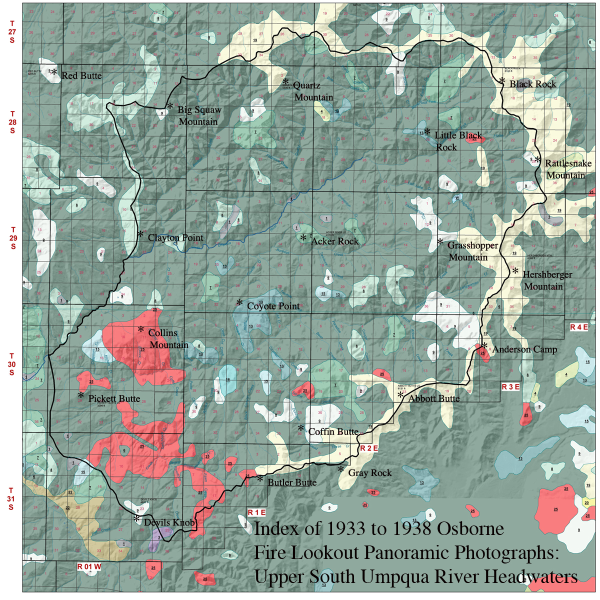
Butler Butte is located in Section 10, Tsp. 31 S., Rng. 1 E., 5,513 feet elevation in the Jackson Creek subbasin of the South Umpqua River, in Douglas County, Oregon. Kemnow Online History.
Butler Butte is included in the Bald Ridges Area of Special Interest for the 2010 South Umpqua Headwaters Precontact Reference Study. This area was selected as an "Area of Special Interest" because of its strategic location along the ca. 1800 Indian Trails network, as indicated by its location, historical documentation, persistant vegetation patterns, and by significant precontact lithic evidence (Hartley 1993).
This page includes specific maps and aerial photographs of Butler Butte, and individual historical and 2010 documentary photographs showing current condtions, native plants and animals, and other points of interest related to this study area.
Butler Butte Snyder July 28, 1933 |
West 180° - 300°
|
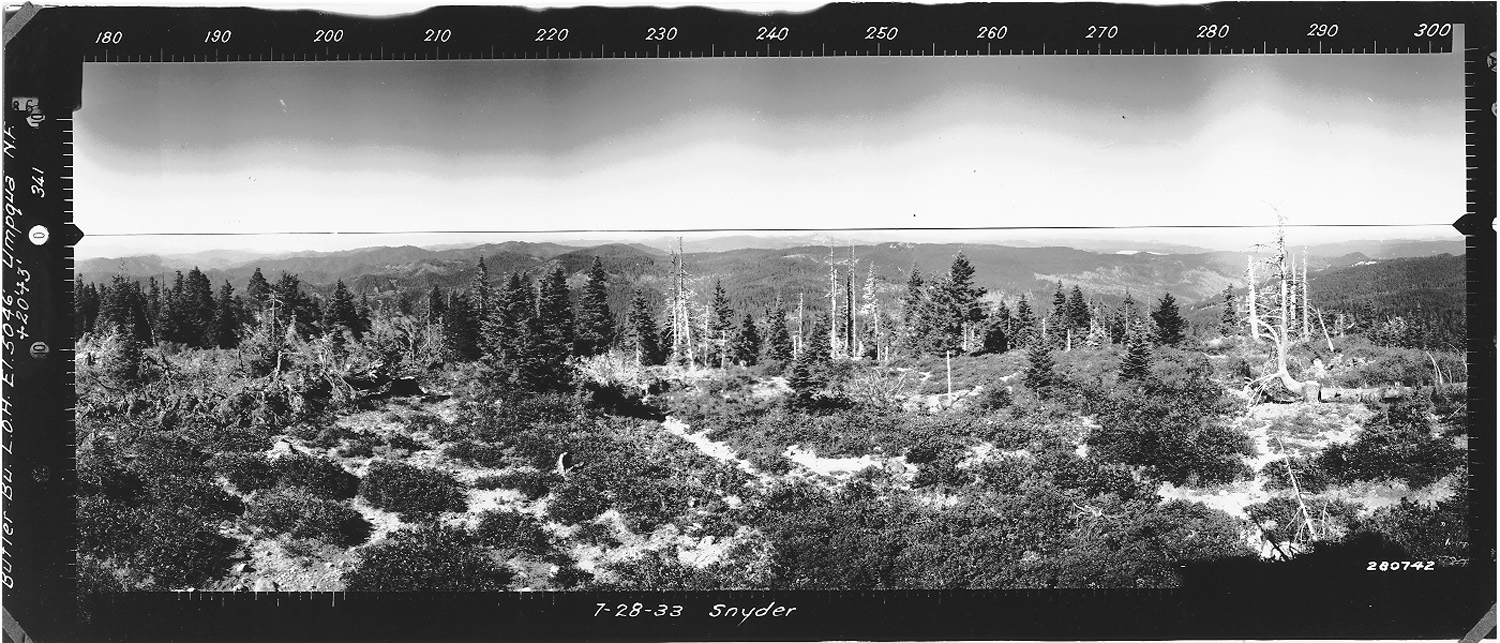 |
July 27, 1933
|
North 300° - 60°
|
|
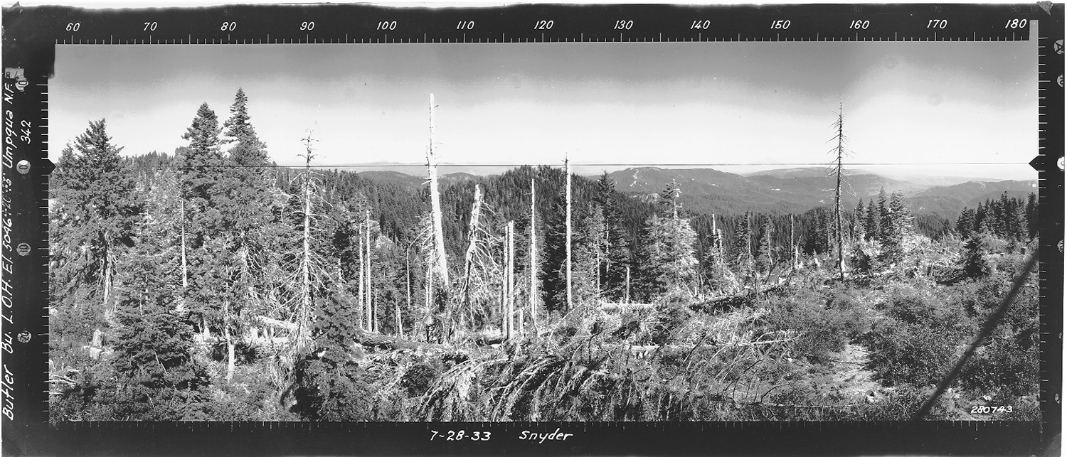
July 28, 1933 |
East 60° - 180°
|
 |
 |
 |
 |
 |
|
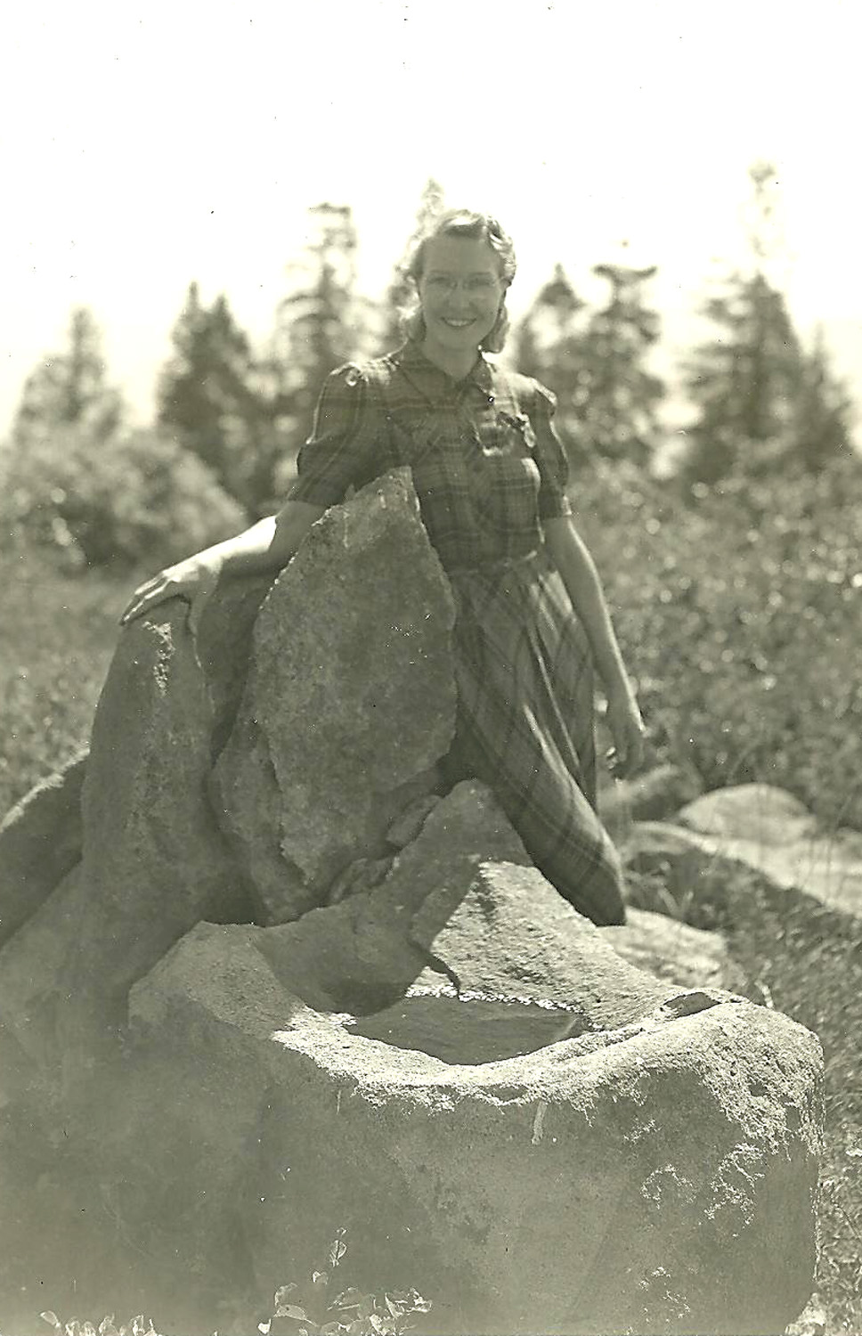
1943 Butler Butte, Mrs. Hartley with bird
bath. |
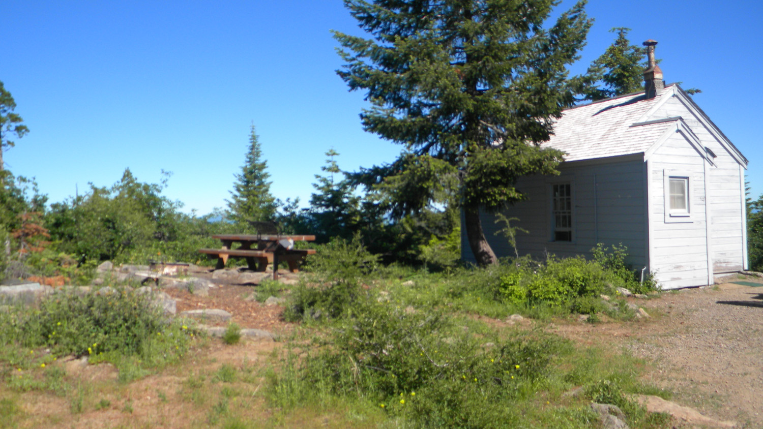
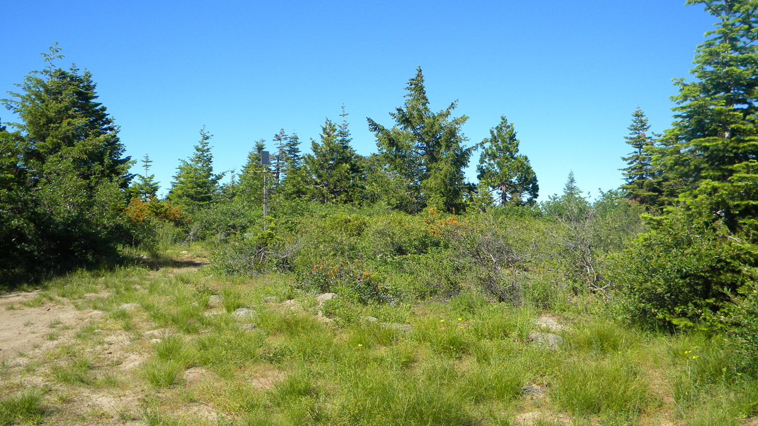
5159_Butler_Butte |
5160_Butler_Butte |
5161_Butler_Butte |
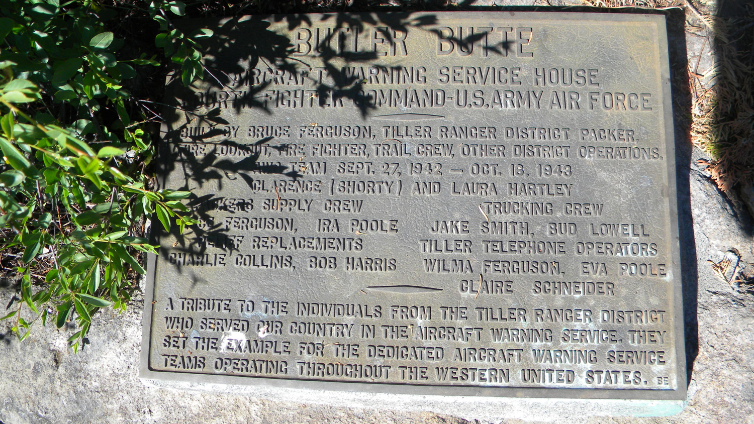
5162_Butler_Butte_Sign |
 |
||||
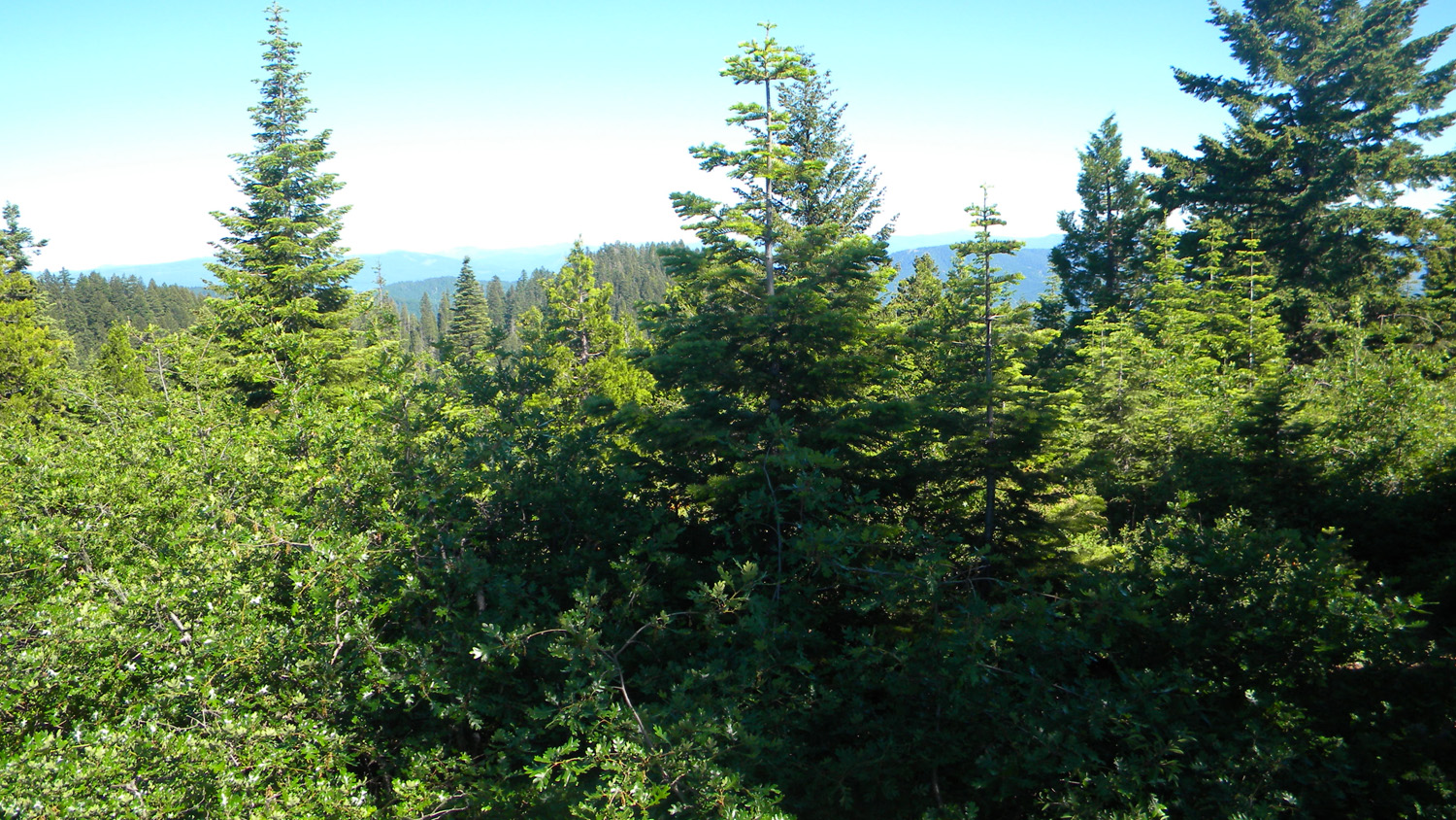
5163_Butler_Butte_Trees |
![]()
© 2006-2011, 2020 Oregon Websites and Watershed, Inc. & NW Maps Co.