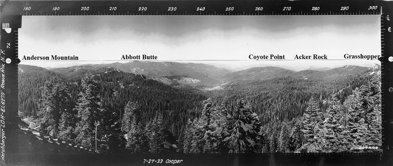
Hershberger Mountain
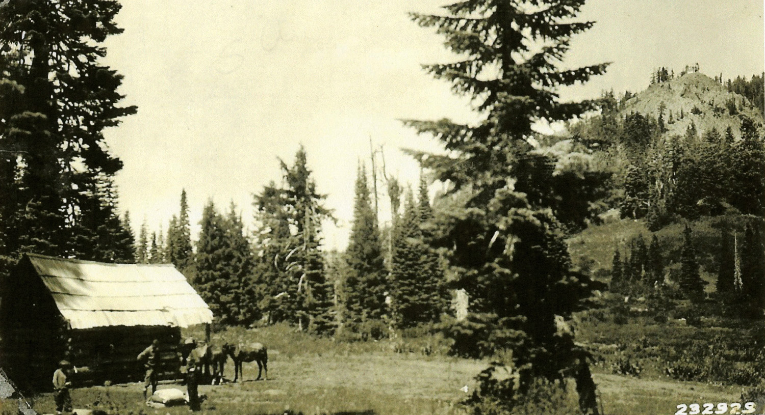
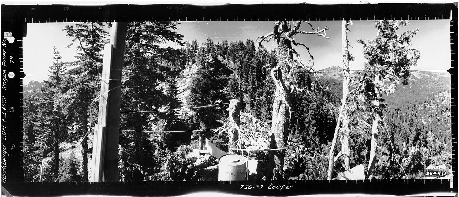
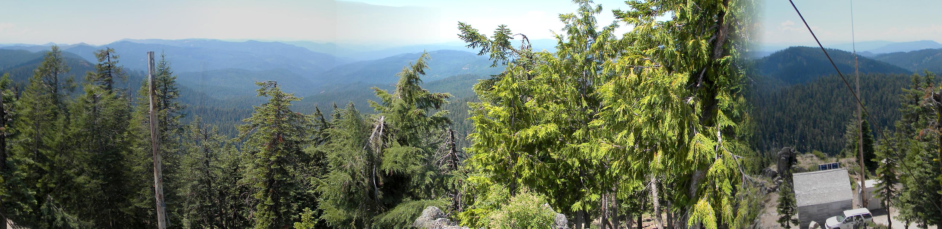
View west from Hershberger Mountain Fire Lookout, Douglas County, Oregon, July 27, 1933 (Cooper).
Hershberger Mountain is located in Section 22, Tsp. 29 S., Rng. 3 E., 6,200 feet elevation in the Jackson Creek subbasin of the South Umpqua River, in Douglas County, Oregon. Kemnow Online History.
Hershberger Mountain is included in the Pup Prairie Area of Special Interest in the 2010 South Umpqua Headwaters Precontact Reference Study. This area was selected as an "Area of Special Interest" because of its association with precontact Indian trail locations and their correlation to native prairie vegetation types that persist to the present time.
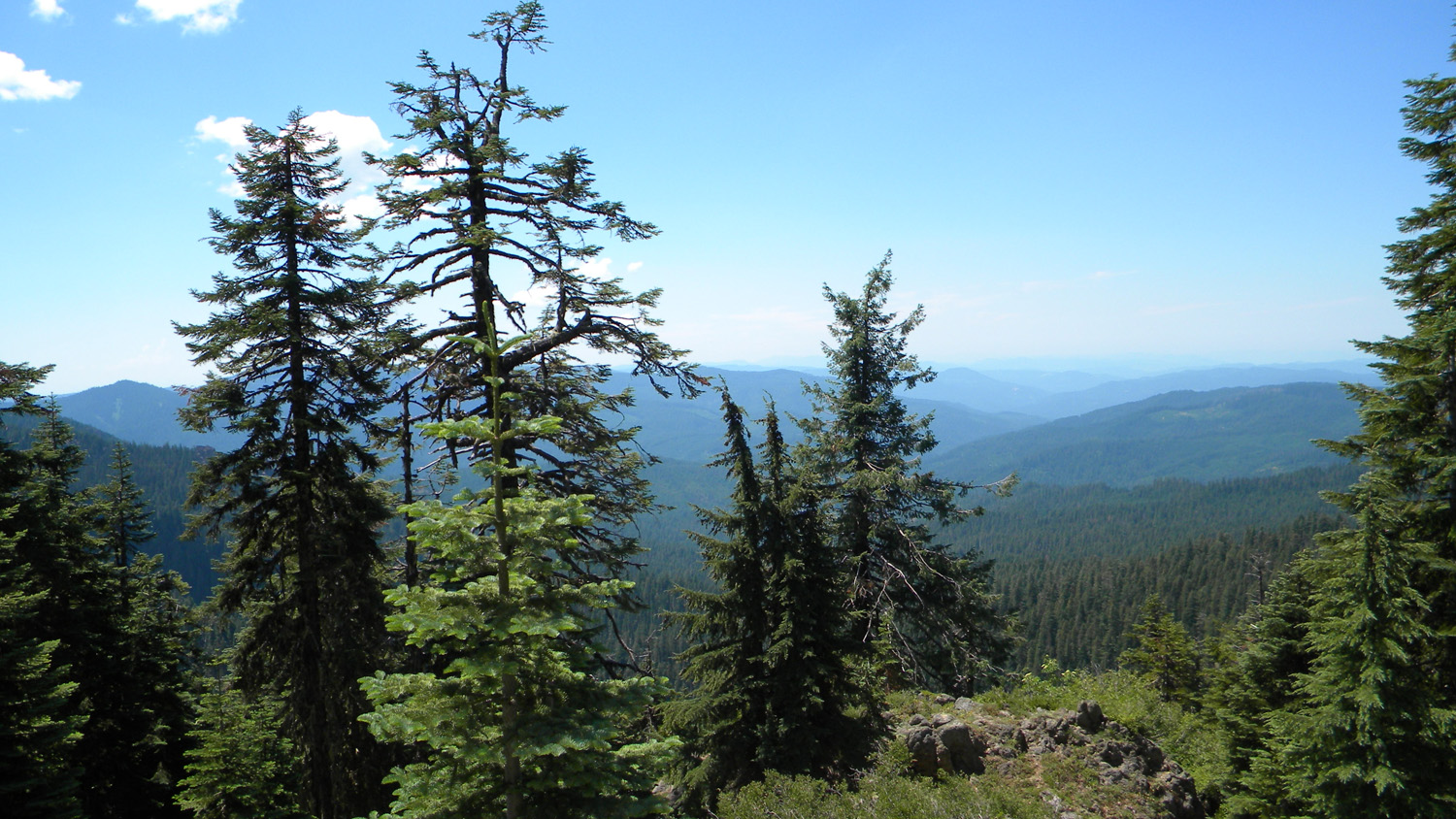
This page includes specific maps and aerial photographs of Hershberger Mountain, panoramas and QTVR video files constructed from the 2010 field research studies, and individual historical and 2010 documentary photographs (taken on July 27: 77 years to the day after Cooper's Osborne photograph's west view was taken) showing current condtions, native plants and animals, and other points of interest related to this study area.
 |
 |
|
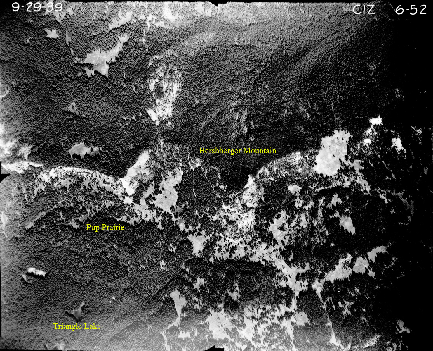
06-52_Hershberger_Mountain |
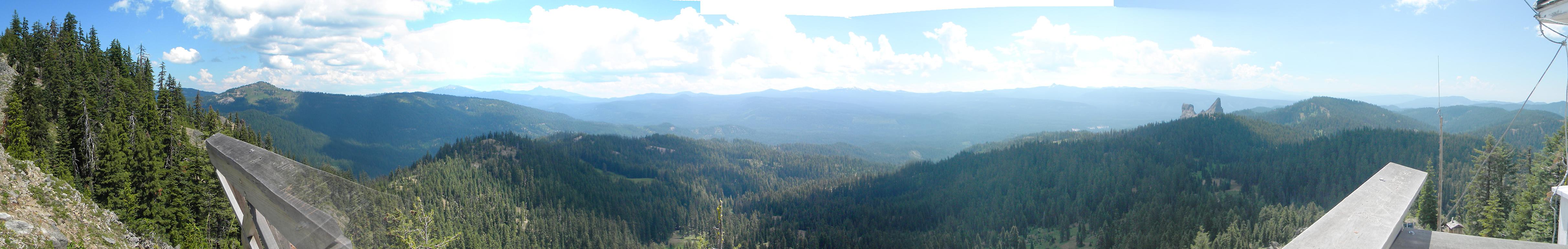
Panoramas and QTVRs
Hershberger Mountain-360 |
||
5592-5596_Hershberger_Mountain-180 |
||
5598-5600_Hershberger_Mountain-180 |
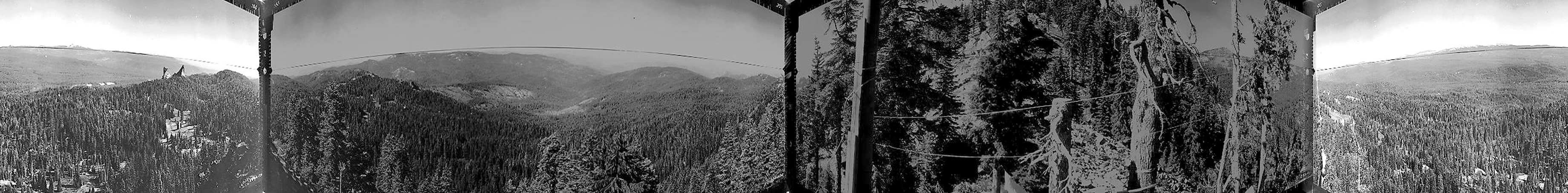
Hershberger Mountain Cooper July 27, 1933 |
West 180° - 300°
|
|
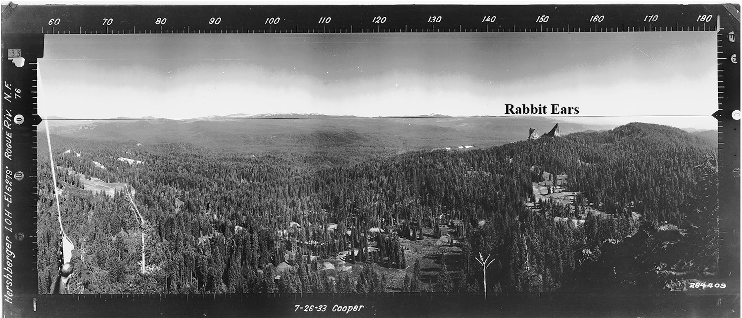
July 26, 1933
|
North 300° - 60°
|
|
July 26, 1933 |
East 60° - 180°
|
 |
 |
 |
 |
|
 |
Hershberger |
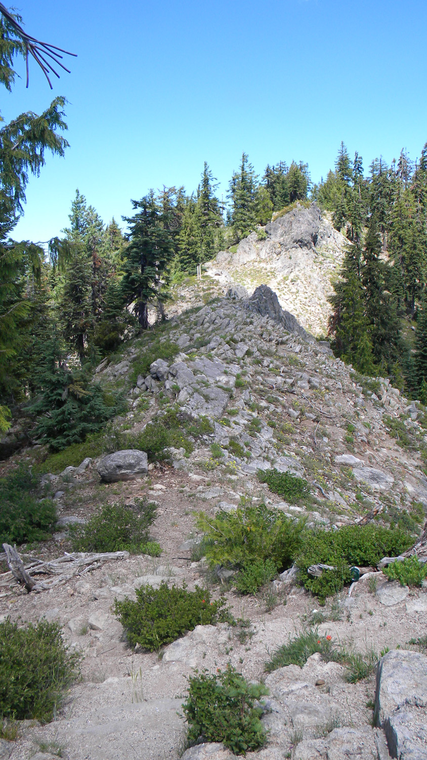
5597_Ridgeline |
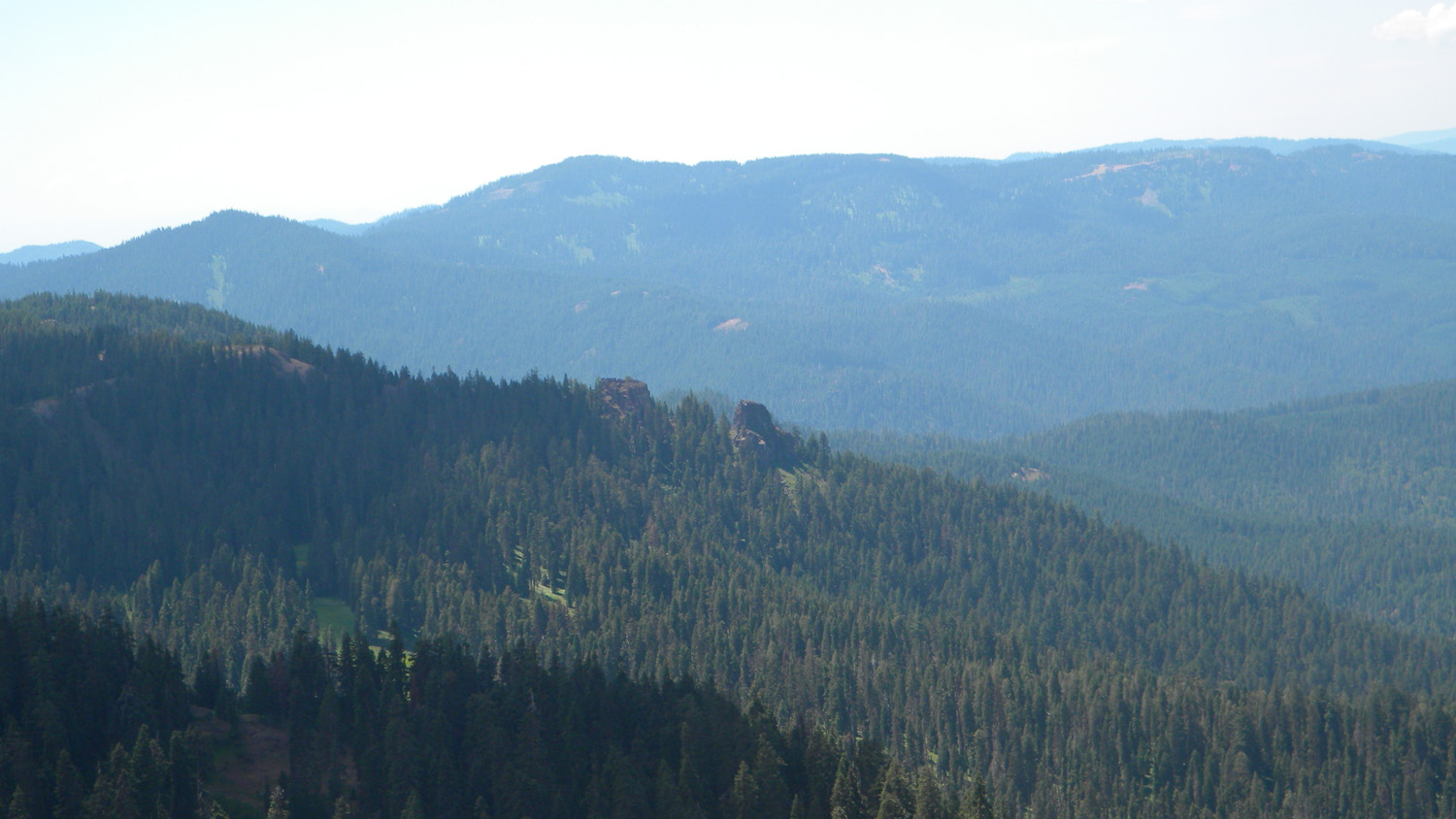
5601_Hershberger_View |
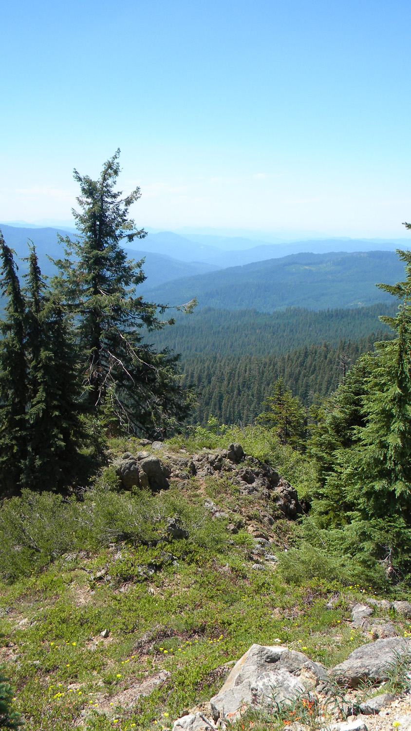
5602_Hershberger_View |
5603_Hershberger_View |
![]()
© 2006-2011, 2020 Oregon Websites and Watershed, Inc. & NW Maps Co.