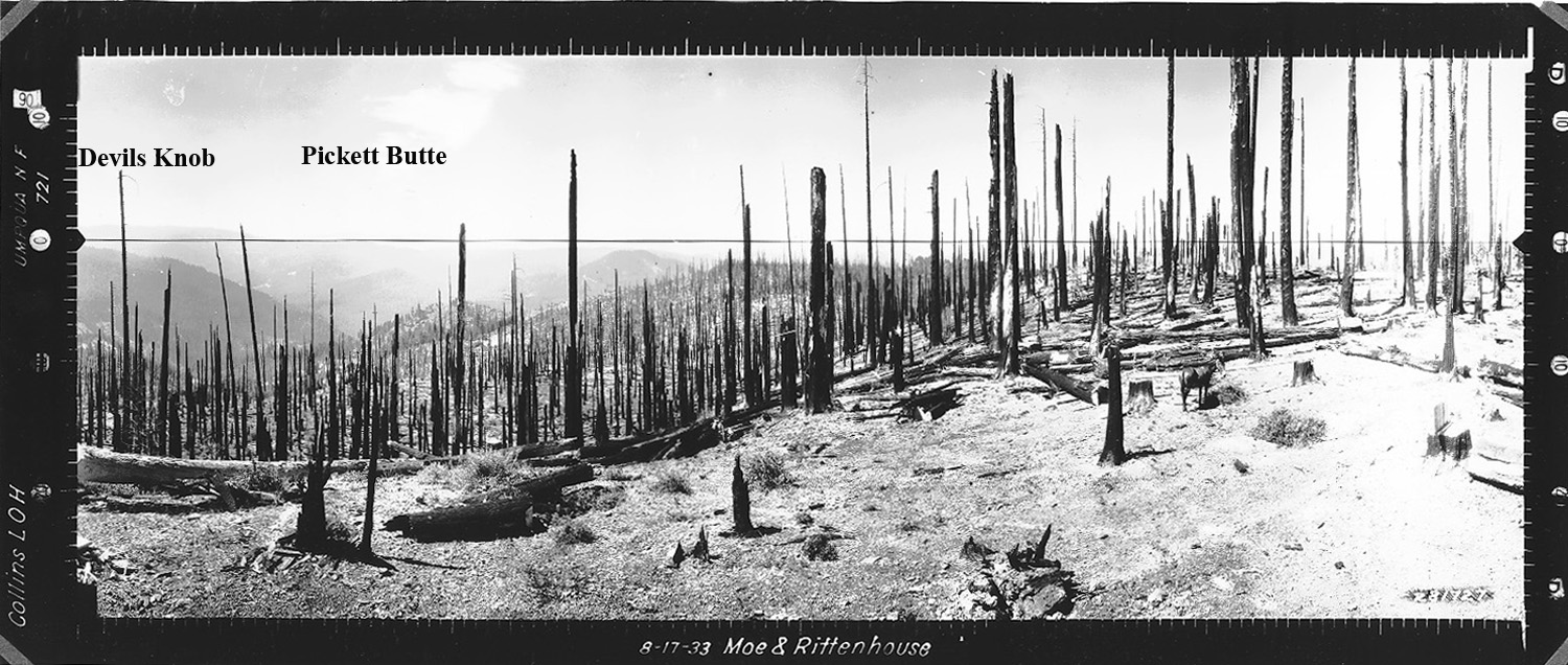
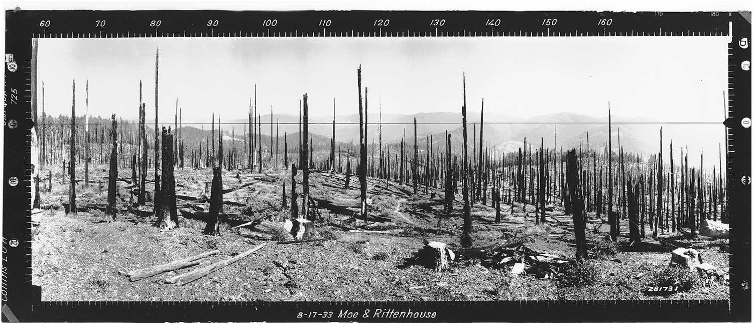
Collins
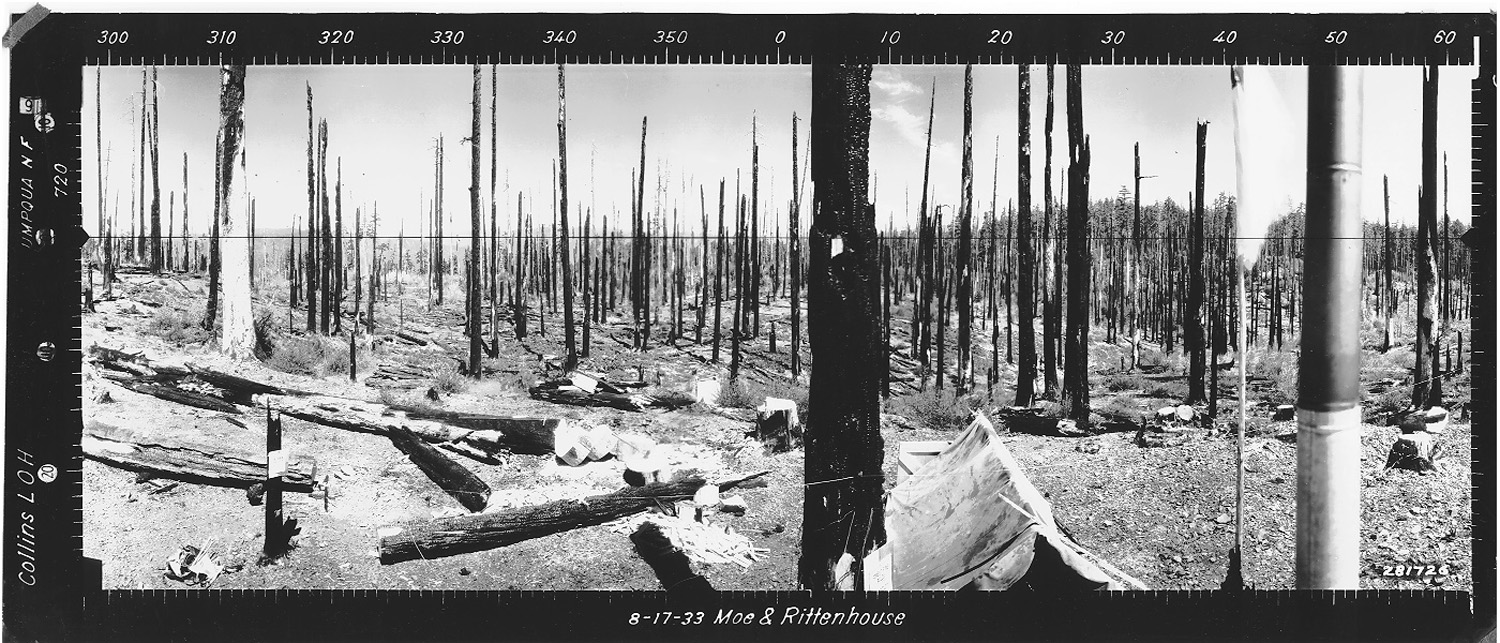
View west from Collins Fire Lookout, Douglas County, Oregon, August 17, 1933 (Moe & Rittenhouse).
Collins Lookout was located in Section 11, Tsp. 30 S., Rng. 1 W., 3,369 feet elevation on the cusp between Jackson Creek subbasin and Zinc Creek subbasin on the South Umpqua River, in Douglas County, Oregon. Kemnow Online History.
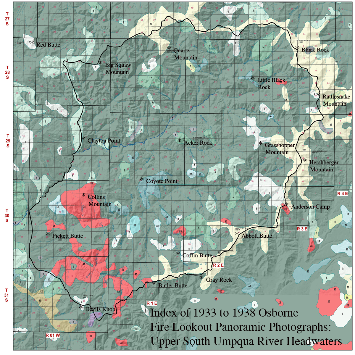
Collins Lookout was located within the Collins Ridge Area of Special Interest as part of the 2010 South Umpqua Headwaters Precontact Reference Study. Collins Ridge was selected as an "Area of Special Interest" because of its strategic location along a primary Indian ridgeline trail route connecting Jackson Creek to major precontact locations along the upper South Umpqua River mainstem, because of persistent precontact cultural landscape patterns of native vegetation within its boundaries, and due to its generally gentle slope and broad flats.
This page includes specific maps and aerial photographs of Collins Ridge, panoramas and QTVR video files constructed from the 2010 field research studies, and individual historical and 2010 documentary photographs showing current condtions, native plants and animals, and other points of interest related to this study area.
 |
 |
 |
 |
 |
 |
|
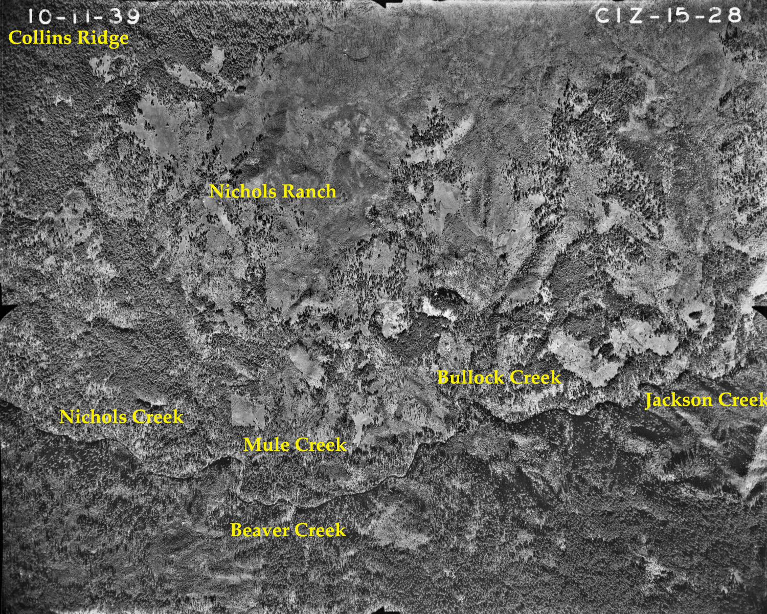
15-28_Nichols_Ranch |
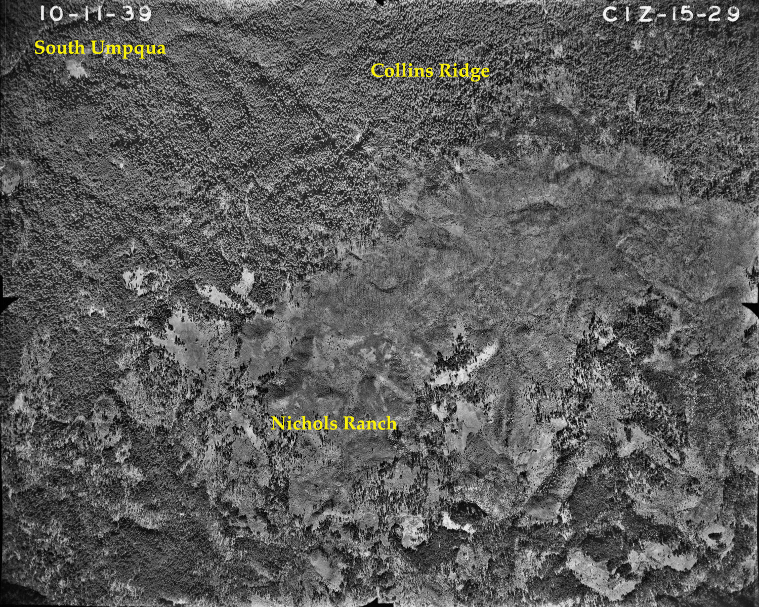
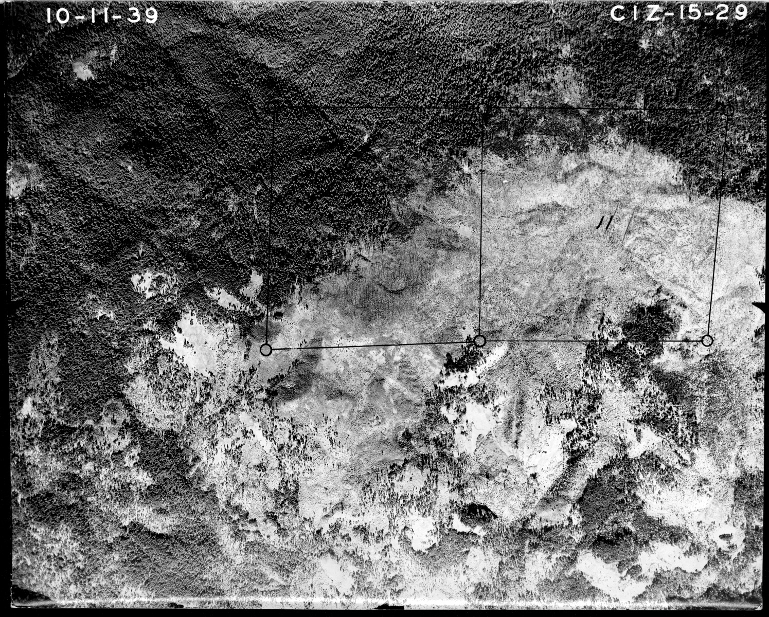
15-29_Collins_Ridge |
15-29-2 |
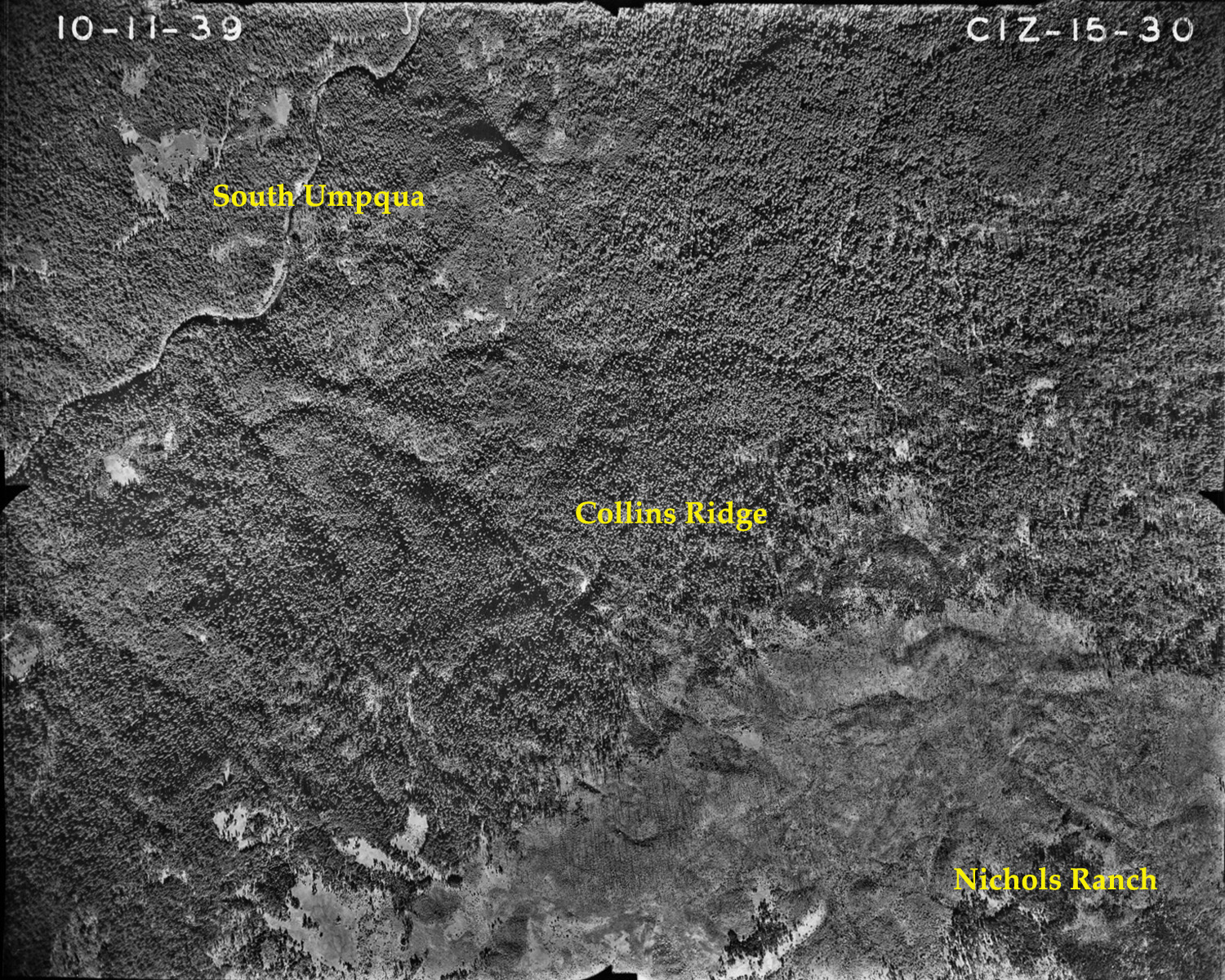
15-30_Collins_Ridge-icon |
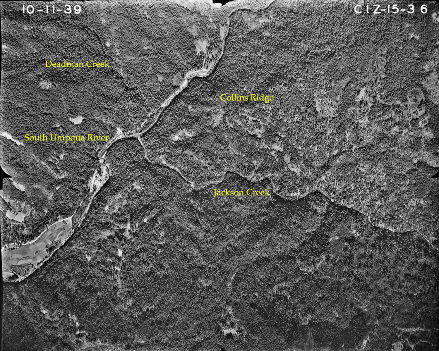
15-36_The_Forks |
Panoramas and QTVRs
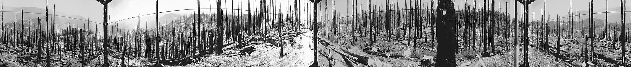
Collins Moe & Rittenhouse August 17, 1933 |
West 180° - 300°
|
|
|
North 300° - 60°
|
|
|
East 60° - 180°
|
 |
![]()
© 2006-2011, 2020 Oregon Websites and Watershed, Inc. & NW Maps Co.