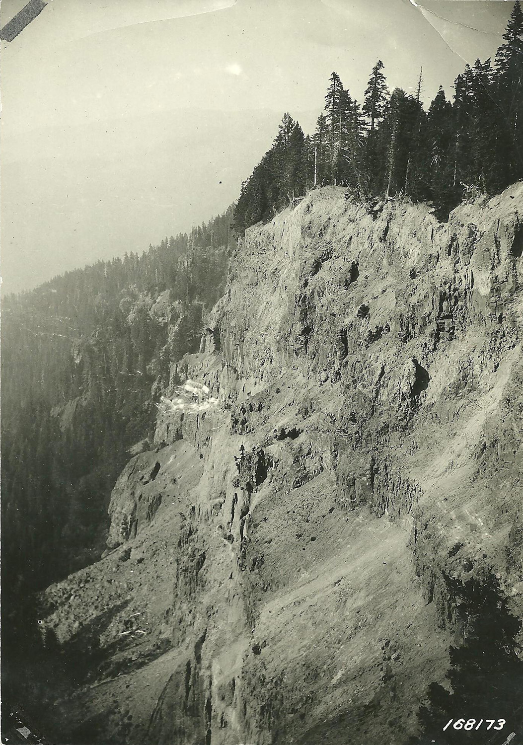
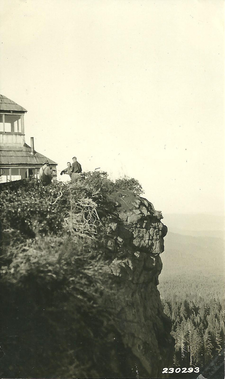
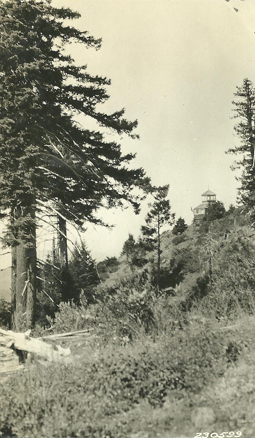
Grasshopper Mountain
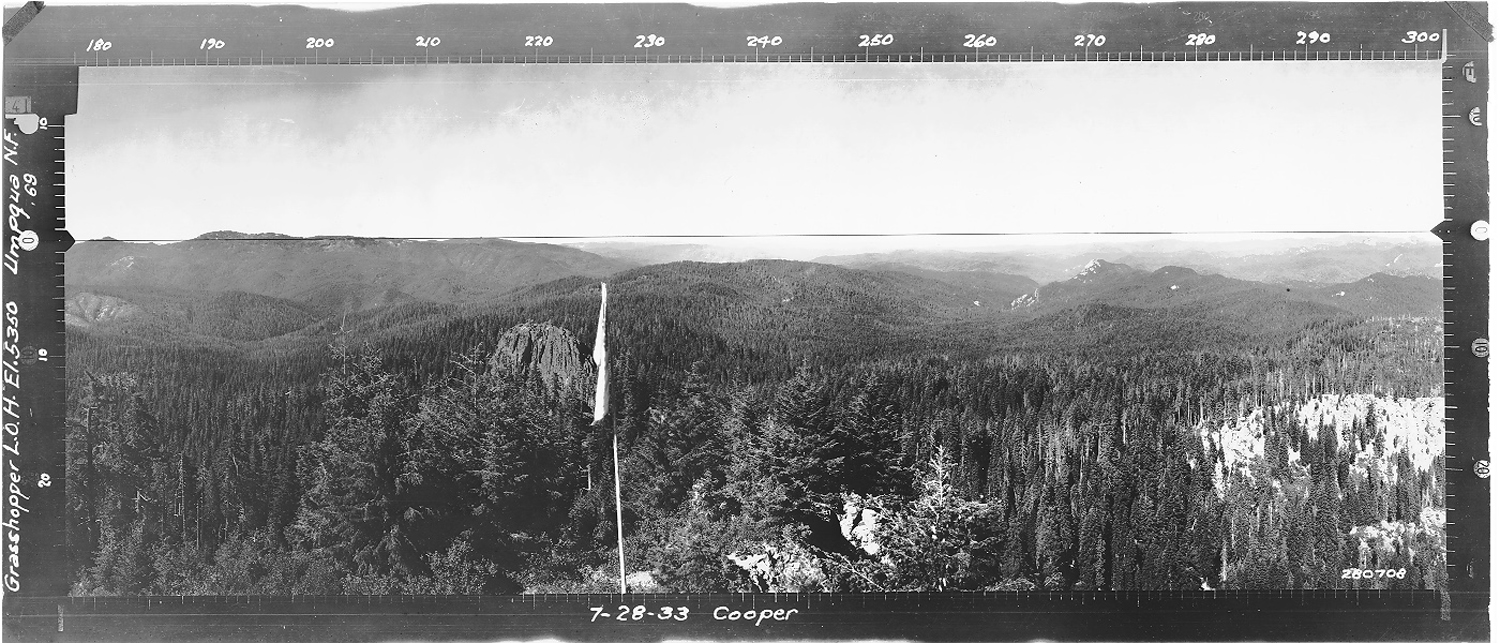
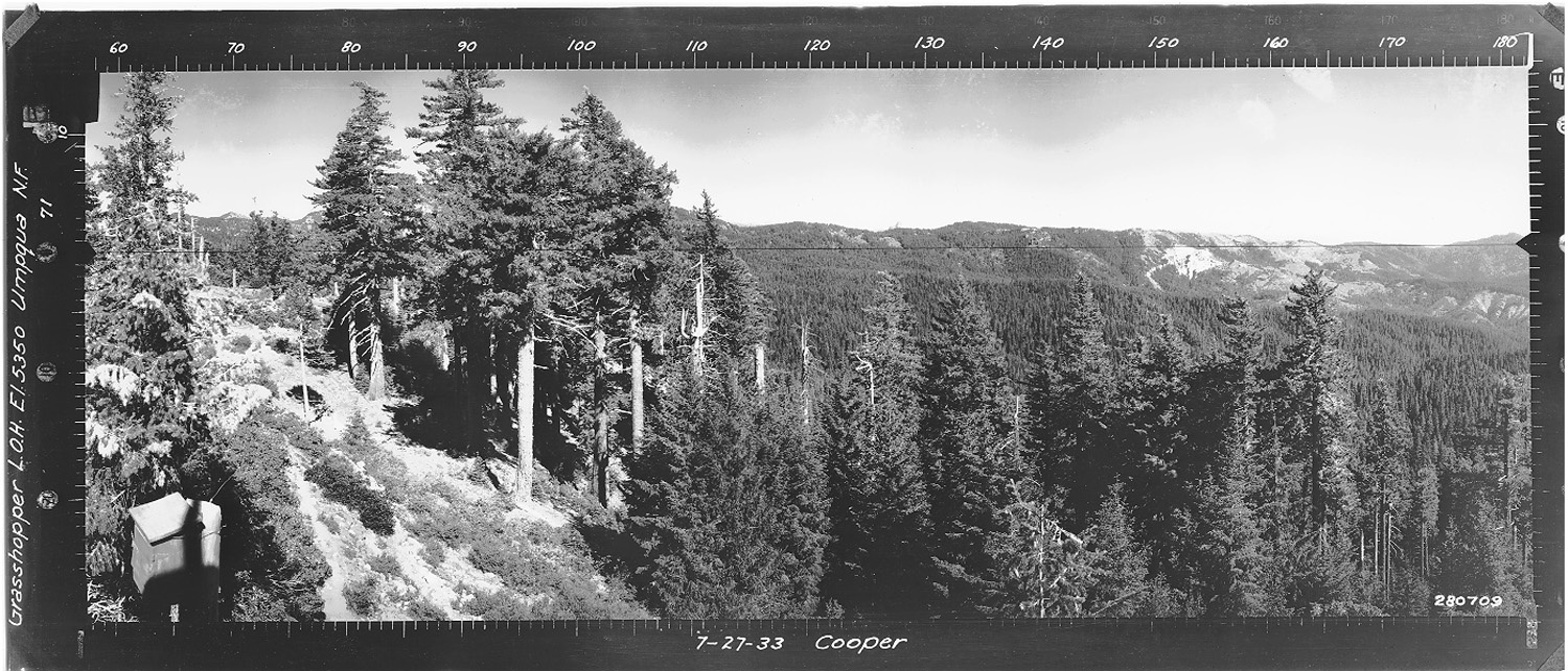
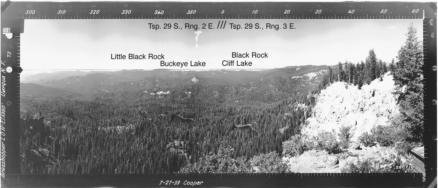
View west, Grasshopper Mountain Fire Lookout Tower, South Umpqua River, Douglas County, Oregon, July 27, 1933 (Cooper ).
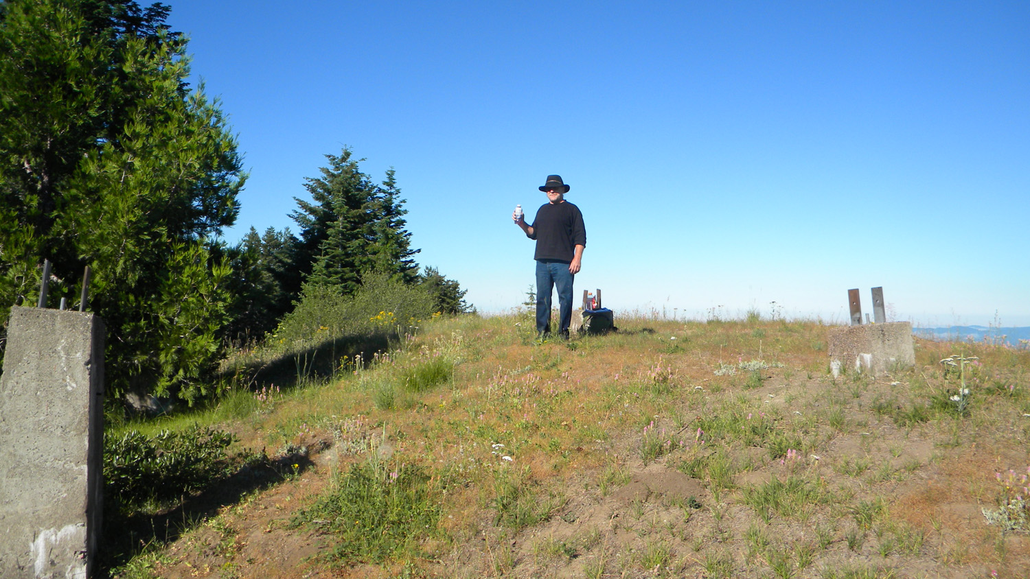
Grasshopper Mountain is located in Section 18, Tsp. 29 S., Rng. 3 E., elevation 5,350 feet in Douglas County, Oregon. Kemnow Online History.
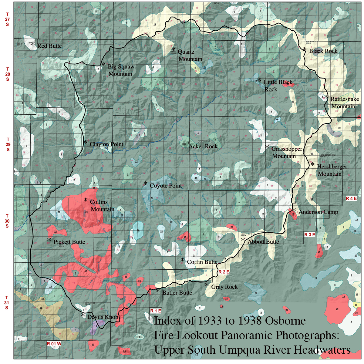
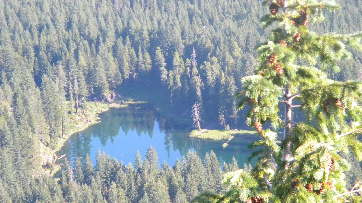
Grasshopper Mountain Area is located on the divide bewteen Jackson Creek subbasin and Castle Rock Fork subbasin of the South Umpqua River drainage and was selected as an "Area of Special Interest" for the 2010 Upper South Umpqua Headwaters Precontact Reference Study.
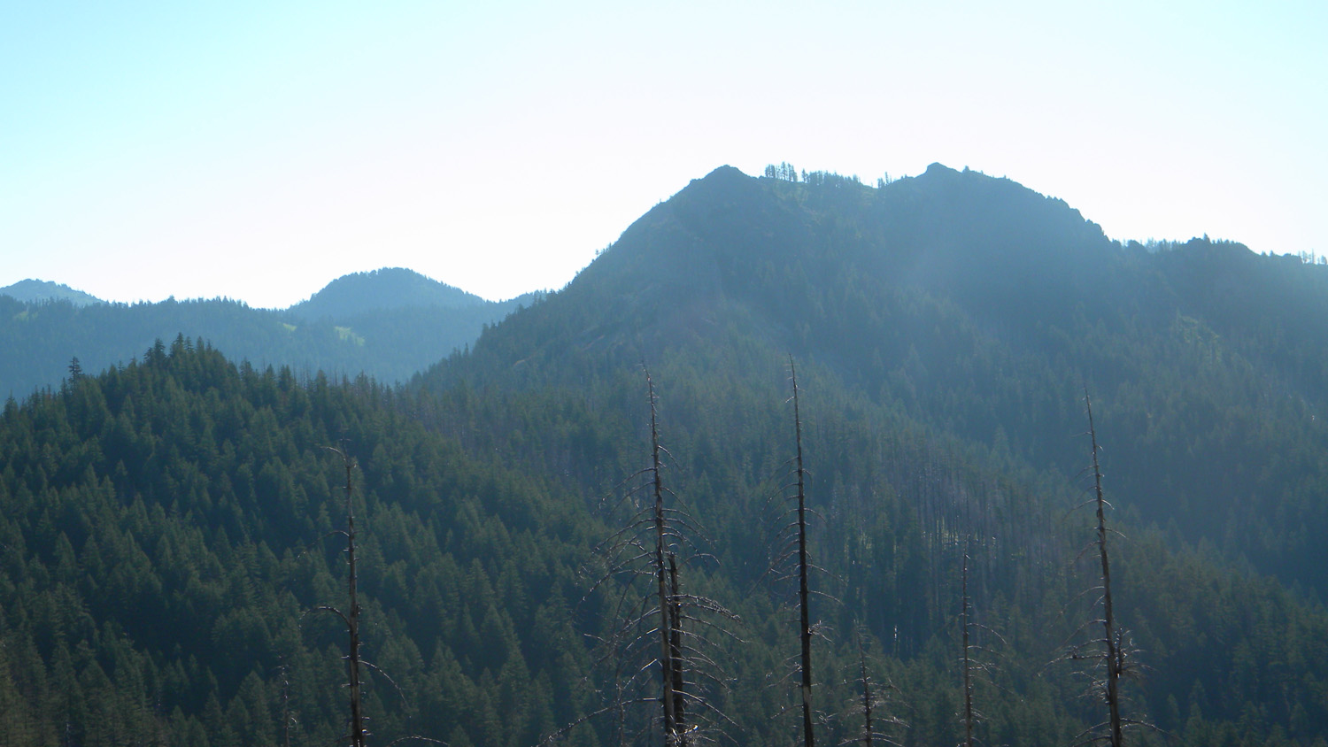
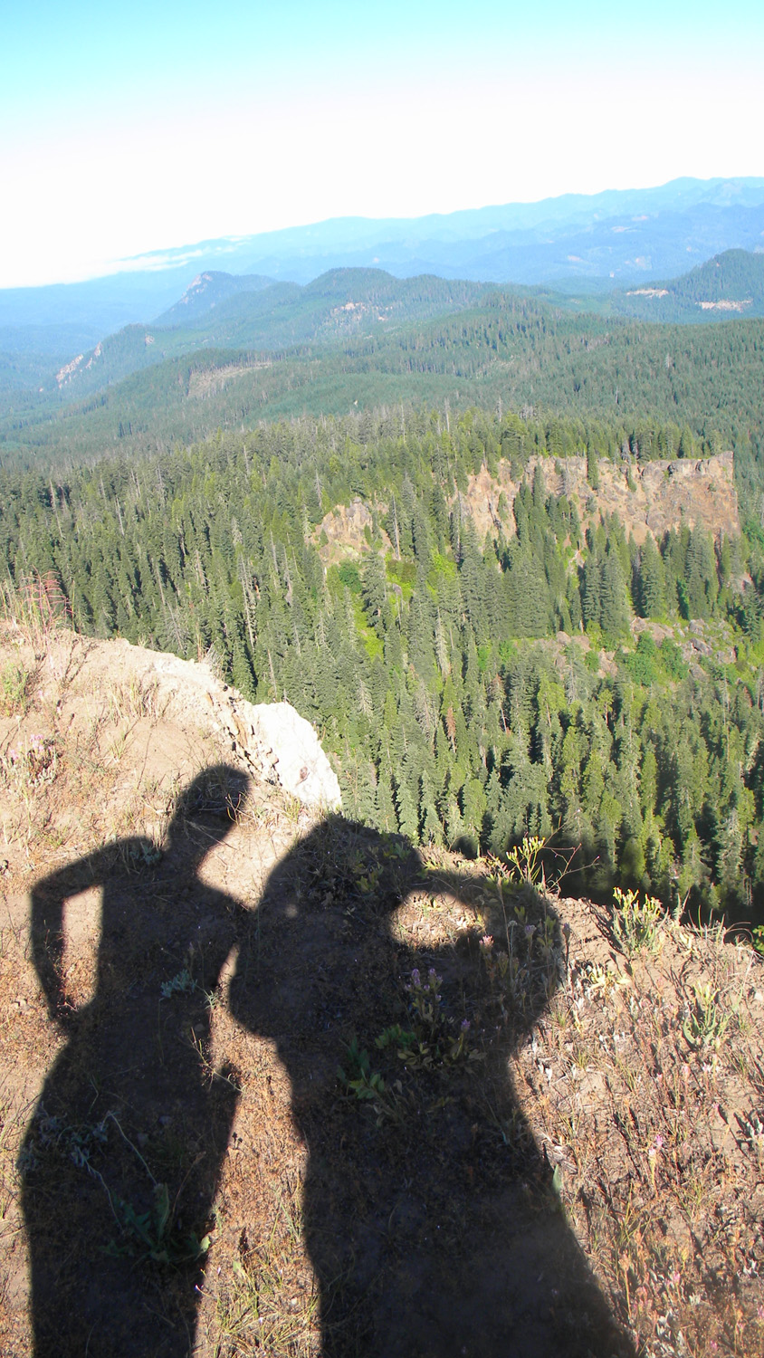
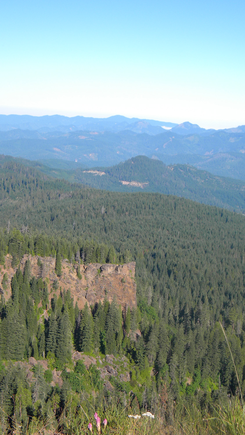
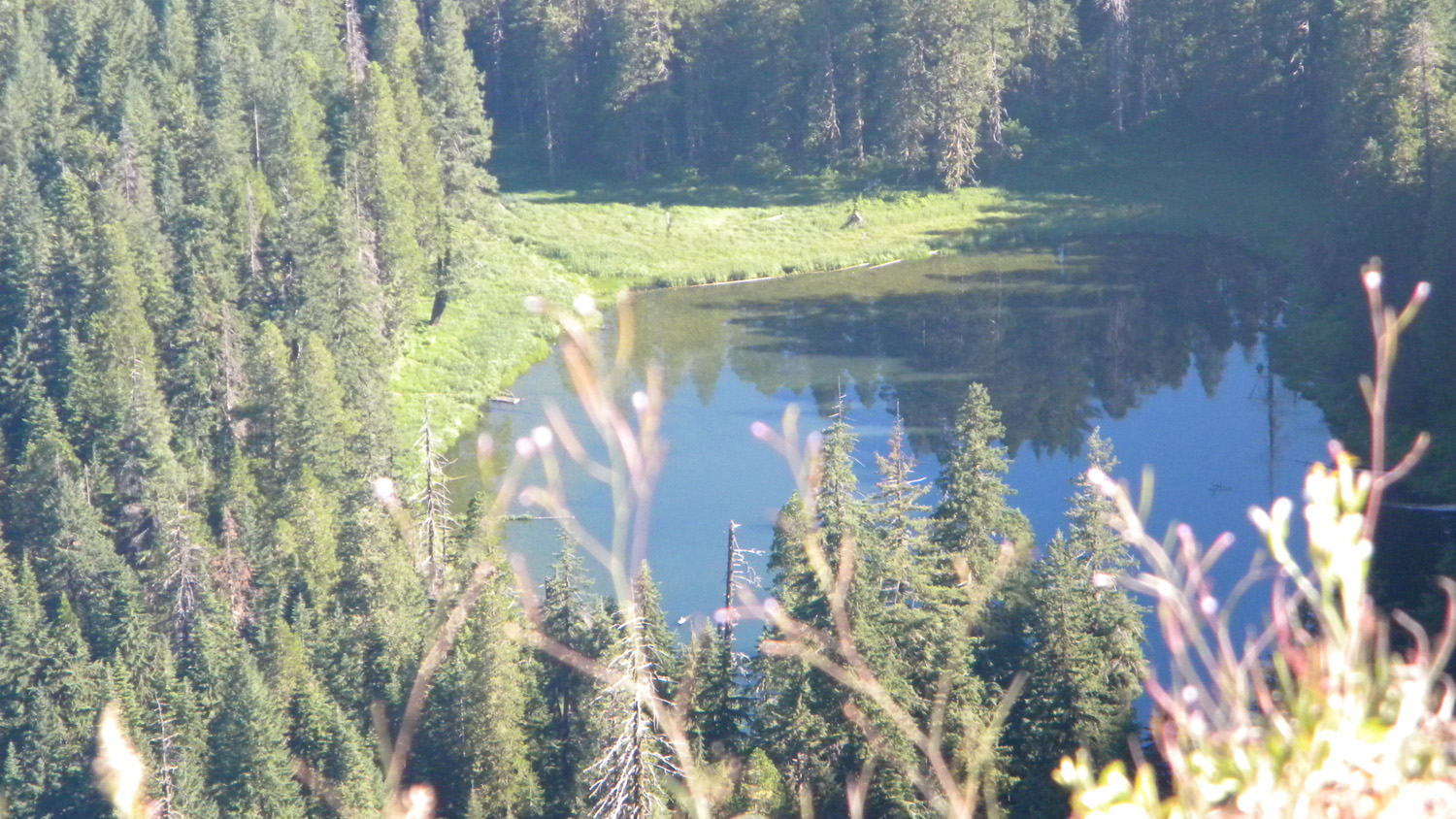
This page includes specific maps and aerial photographs of Grasshopper Mountain, panoramas and QTVR video files constructed from the 2010 field research studies, and individual historical and 2010 documentary photographs showing current condtions, native plants and animals, and other points of interest related to this study area.
 |
 |
|
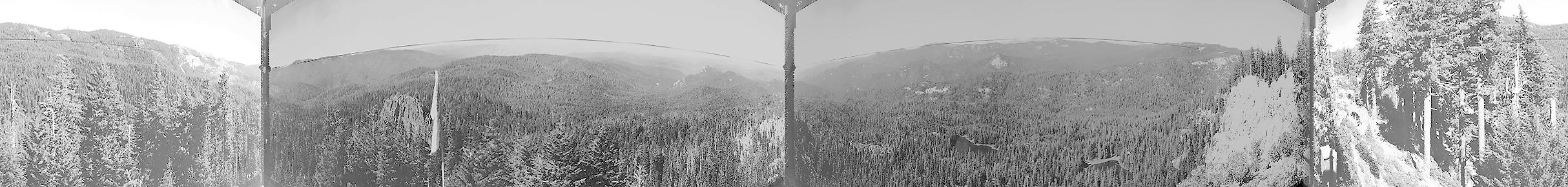
Panoramas and QTVRs
Grasshopper Mountain Unknown Photographer(s) August 7, 1936 |
West 180° - 300°
|
|
|
North 300° - 60°
|
|
|
East 60° - 180°
|
 |
 |
 |
 |
 |
 |
|||||
1922 Grasshopper |
1926 Grasshopper |
1928 Grasshopper |
6392_Grasshopper_Lookout |
6393_The Edge
|
|||||
 |
|
 |
 |
||||||
|
|
|
|
|
|||||
 |
|||||||||
|
![]()
© 2006-2011, 2020 Oregon Websites and Watershed, Inc. & NW Maps Co.