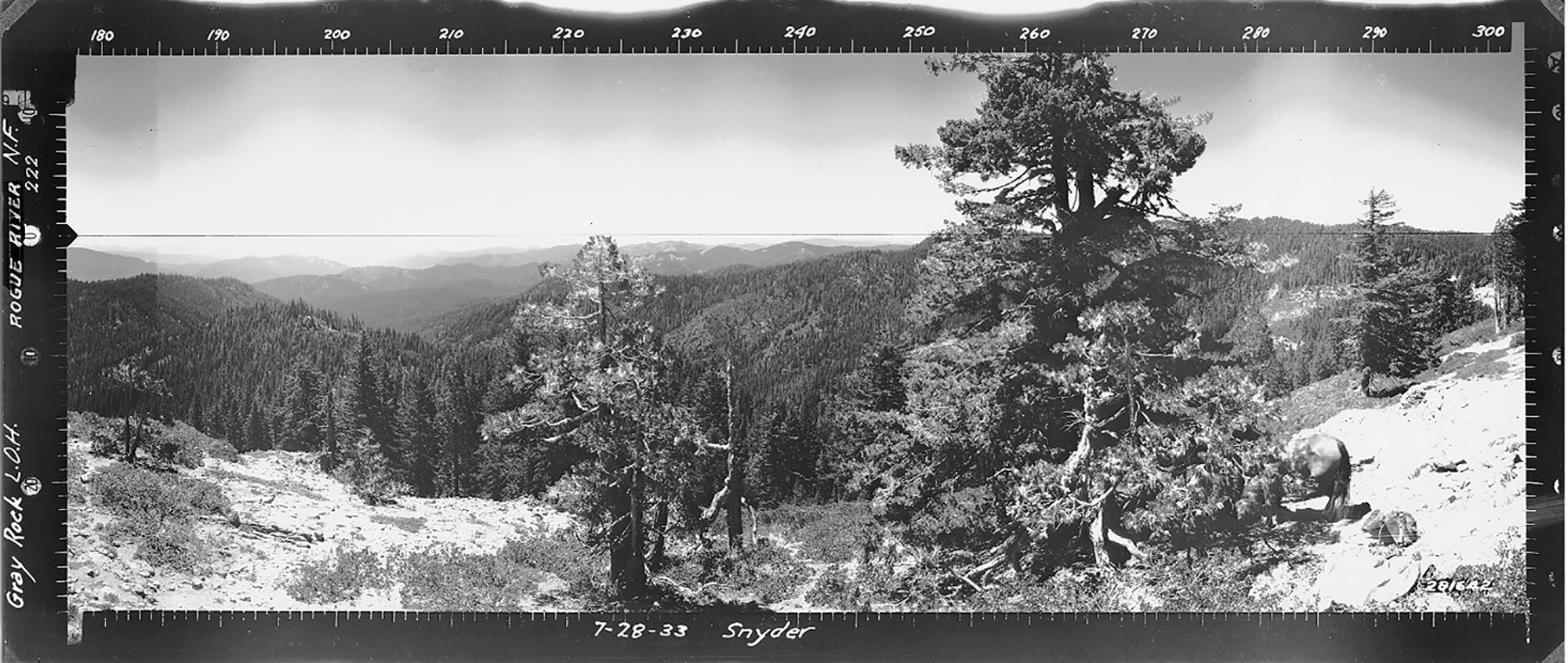
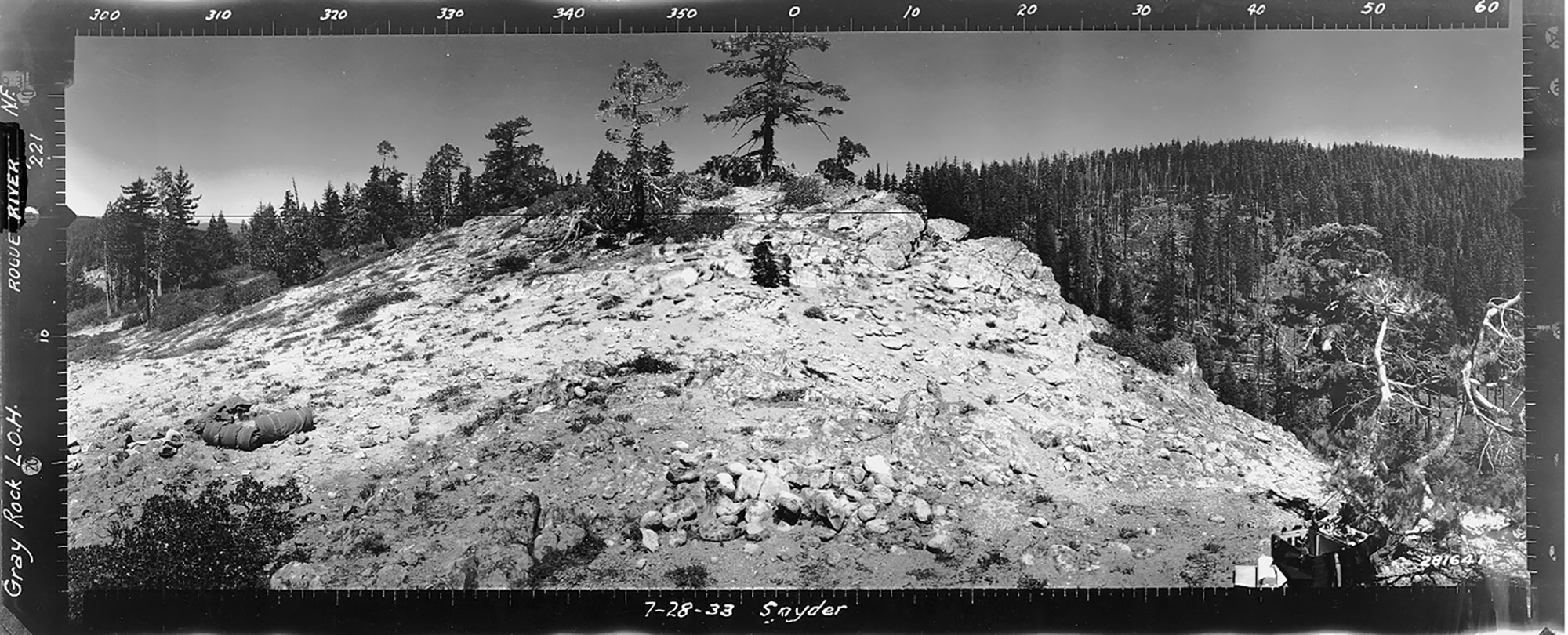
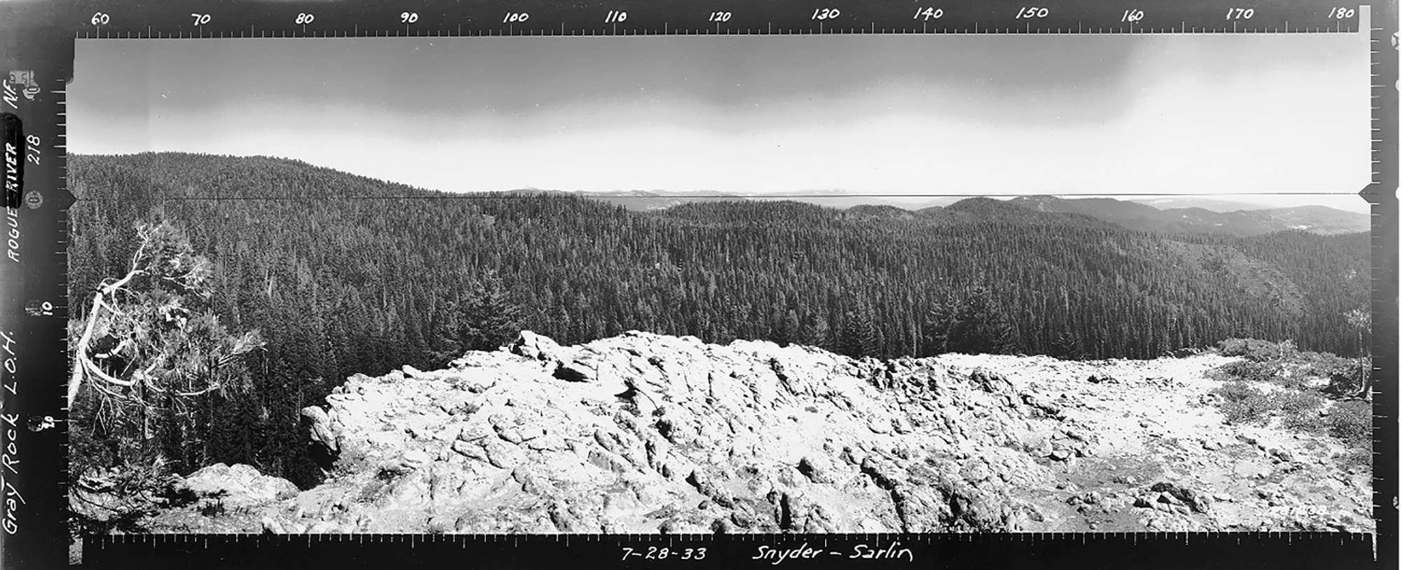
Grey Rock Lookout
West View, Grey Rock Lookout, Jackson County (Snyder, July 28, 1933).
There is no historical information regarding Grey Rock. Osborne photographs were taken from 31 S., Rng. 2 E., Sec. 8, elevation 5,347 feet. This is one of only two sets of Osbornes currently included in Jackson County because they document southern-most forest cover conditions from the northwest to the northeast in the Douglas County 2010-2011 ORWW Upper South Umpqua Headwaters precontact forest cover conditions study -- although being located within the Rogue River basin.
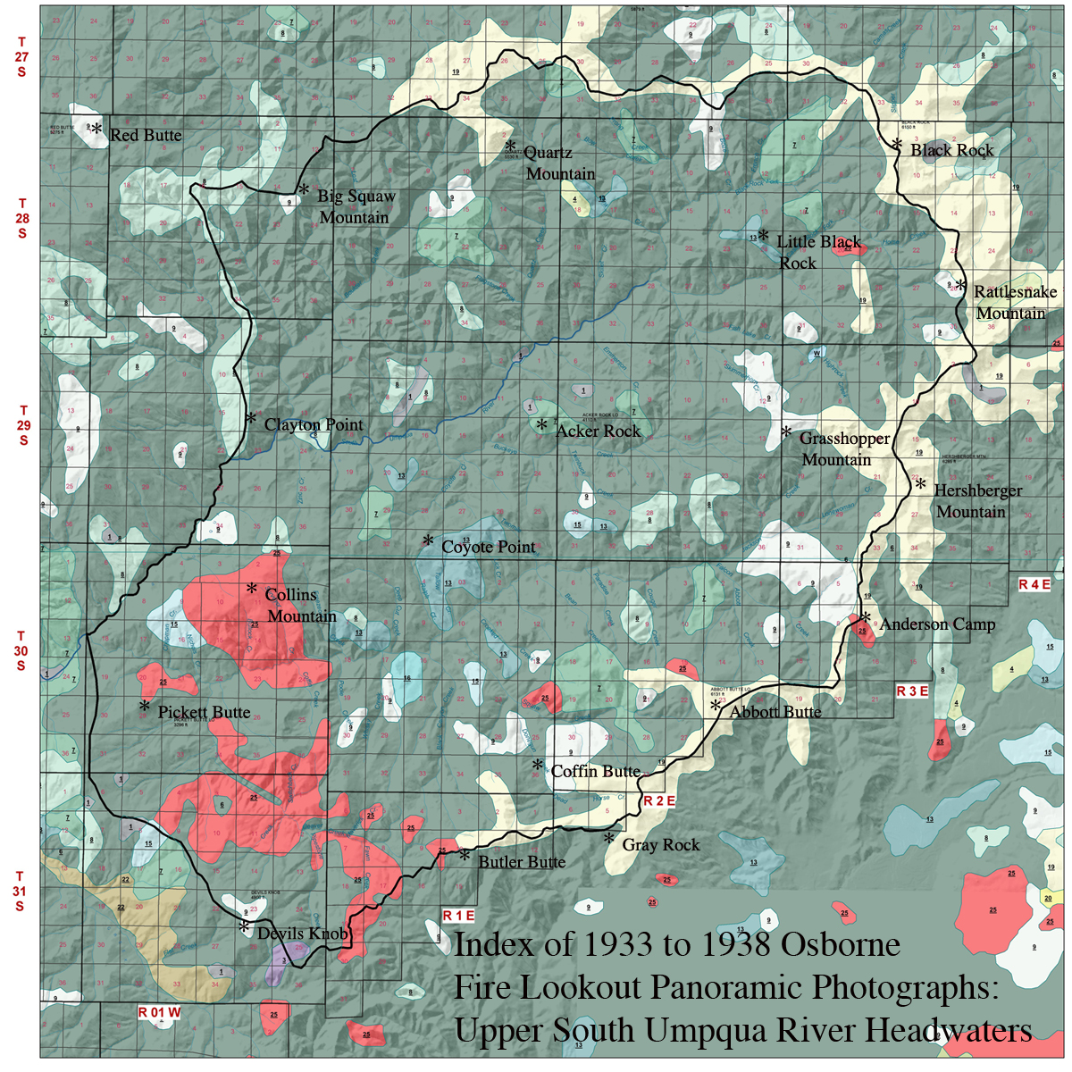
2010 NW Maps Co. Index of 1933 to 1938 Osborne Panoramic Photographs: Upper South Umpqua Headwaters. Grey ("Gray") Rock is to the east and southeast of Butler Butte and Coffin Butte.
© 2006-2020, Oregon Websites and Watersheds Project, Inc. & NW Maps Co.