Upper South Umpqua Headwaters Precontact Reference Study
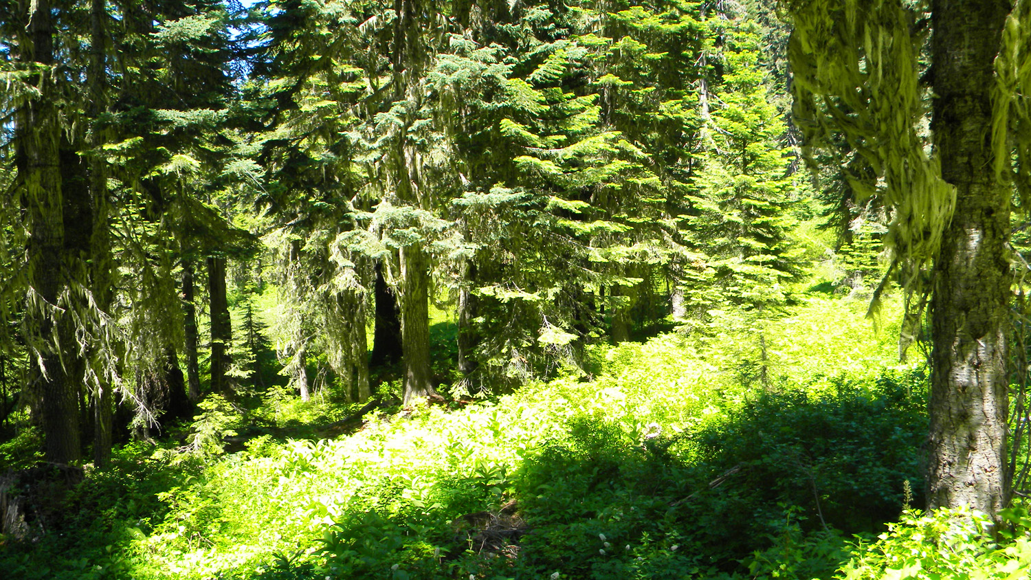
Huckelberry Lake
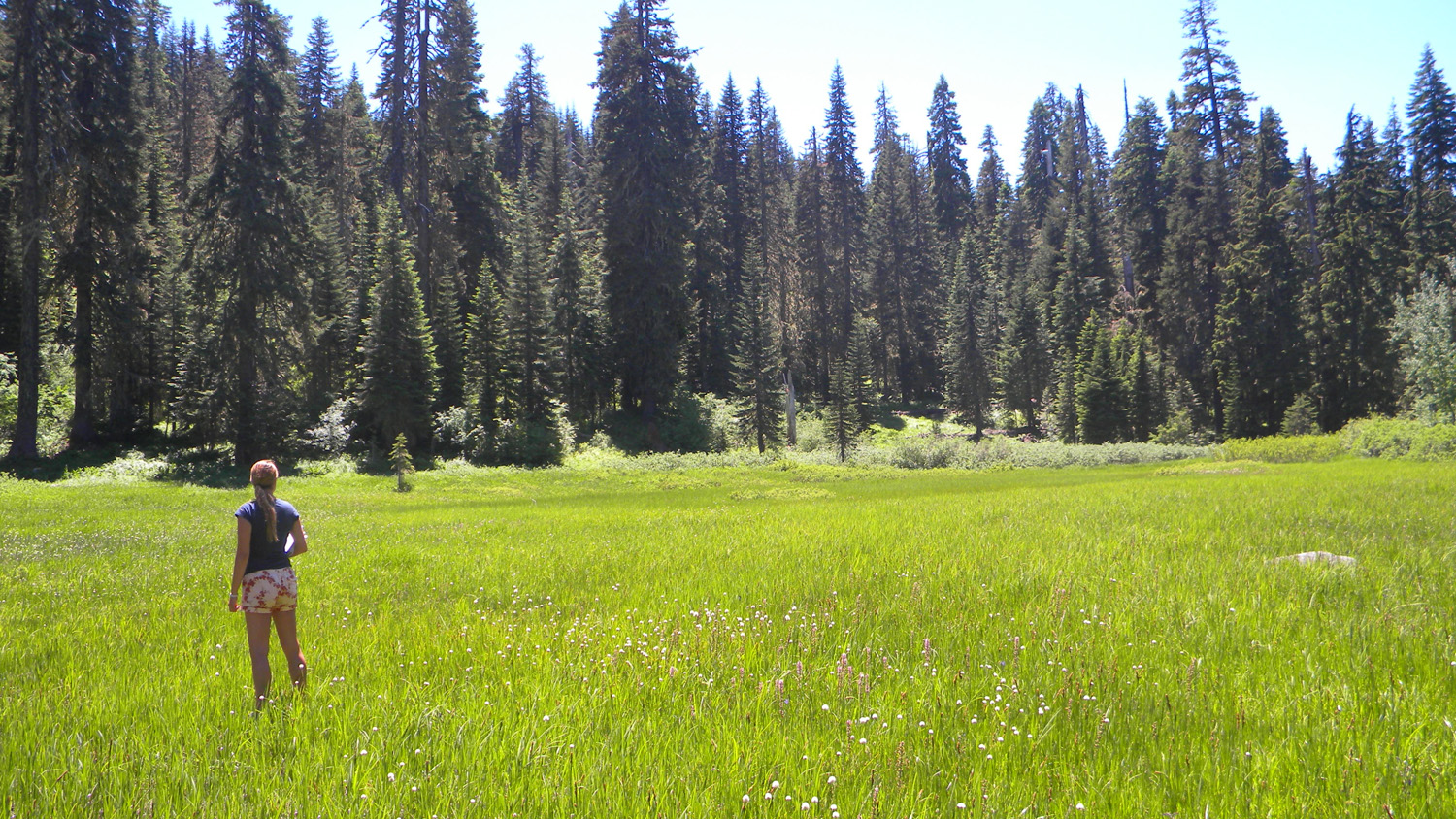
Huckelberry Lake, South Umpqua River, Douglas County, Oregon, July 15, 2010 (B. Zybach).
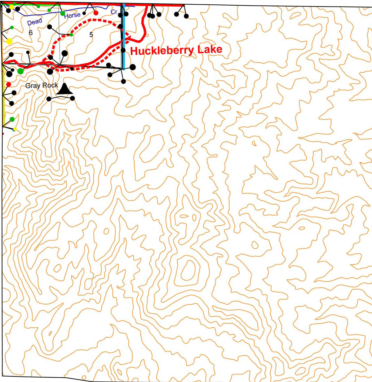
Huckelberry Lake Area of Special Interest is located
within the Jackson Creek subbasin of the South
Umpqua River drainage in Tsp. 31 S., Rng. 2 E. It Is drained by Dead Horse Creek and is on the ridgeline just north of Grey Rock Lookout in Jackson County and is included in the ORWW Osbornes Project.
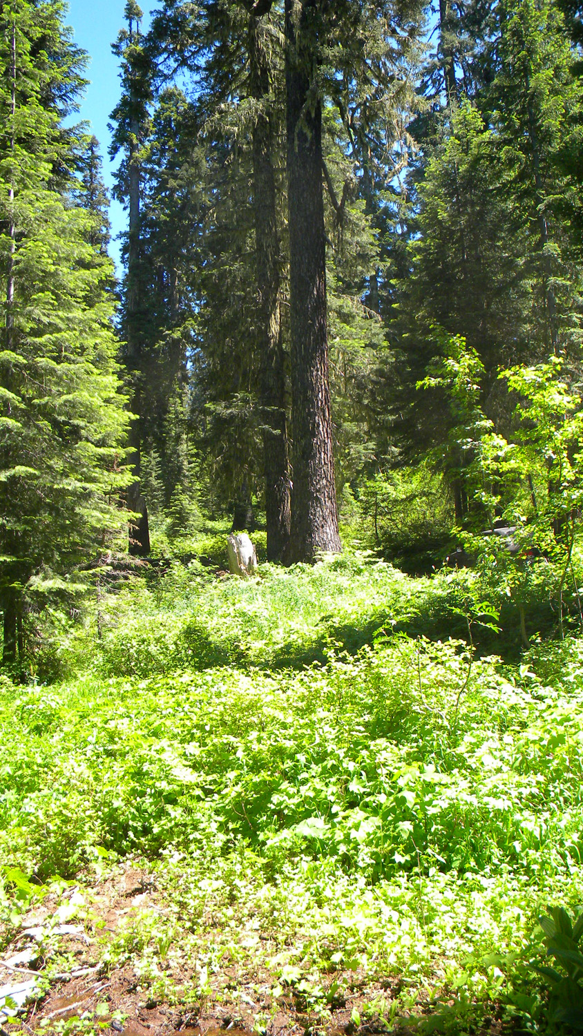
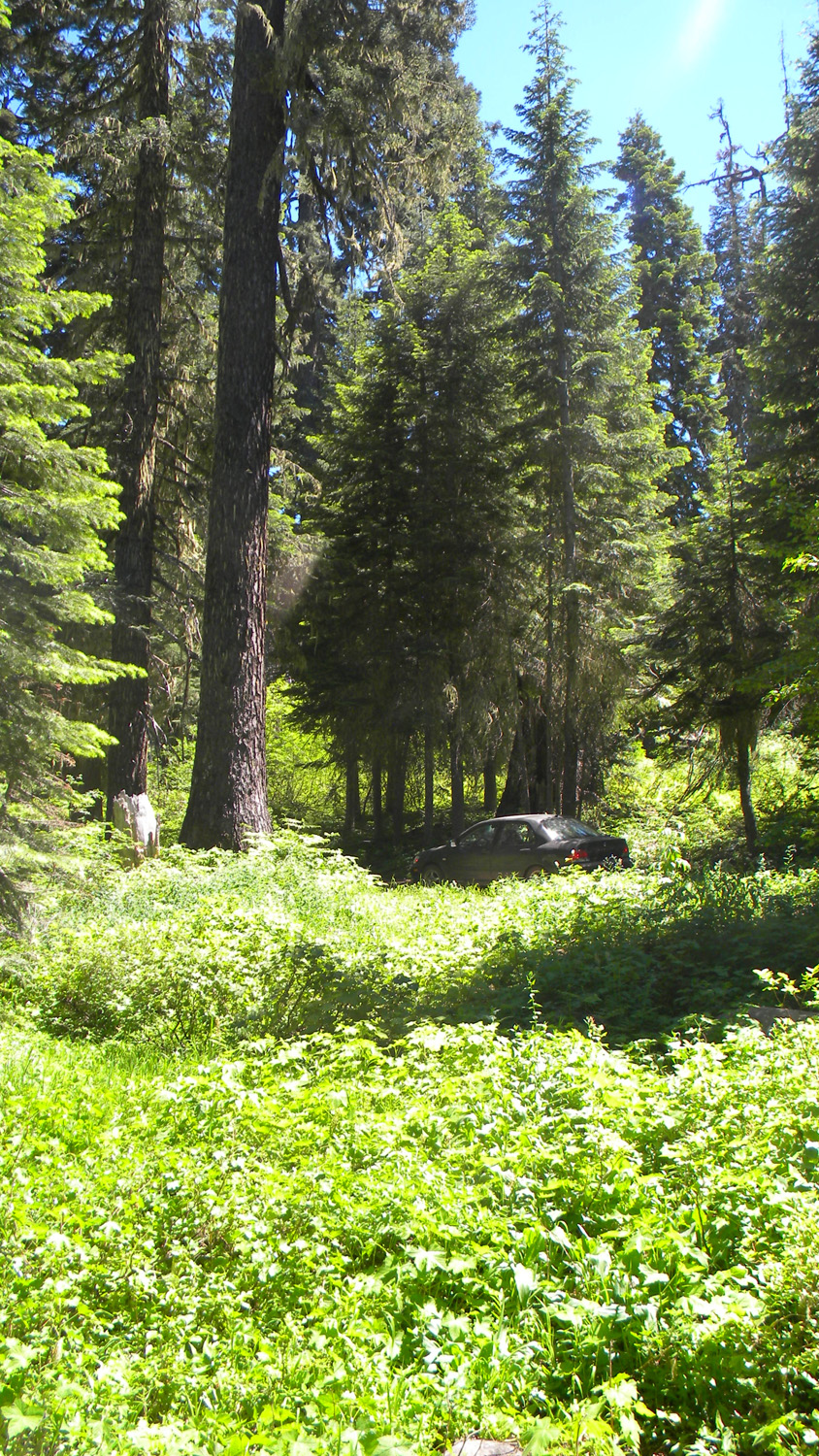
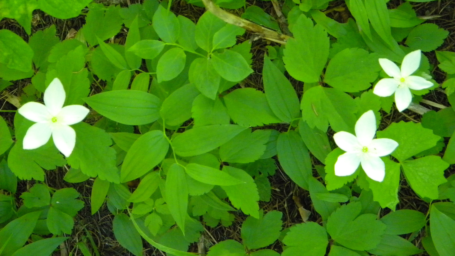
This page includes specific maps
and aerial photographs of Huckelberry Lake, panoramas
and QTVR video files constructed from the
2010 field research studies, and individual historical
and 2010 documentary photographs showing current
condtions, native plants and animals, and other points of interest related
to this study area. Panoramas and QTVRs
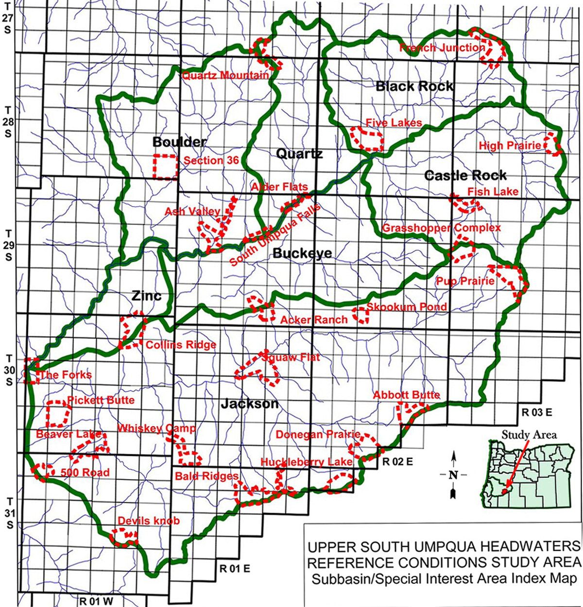
Subbasin Index Map
Tsp. 31 S., Rng. 2 E.
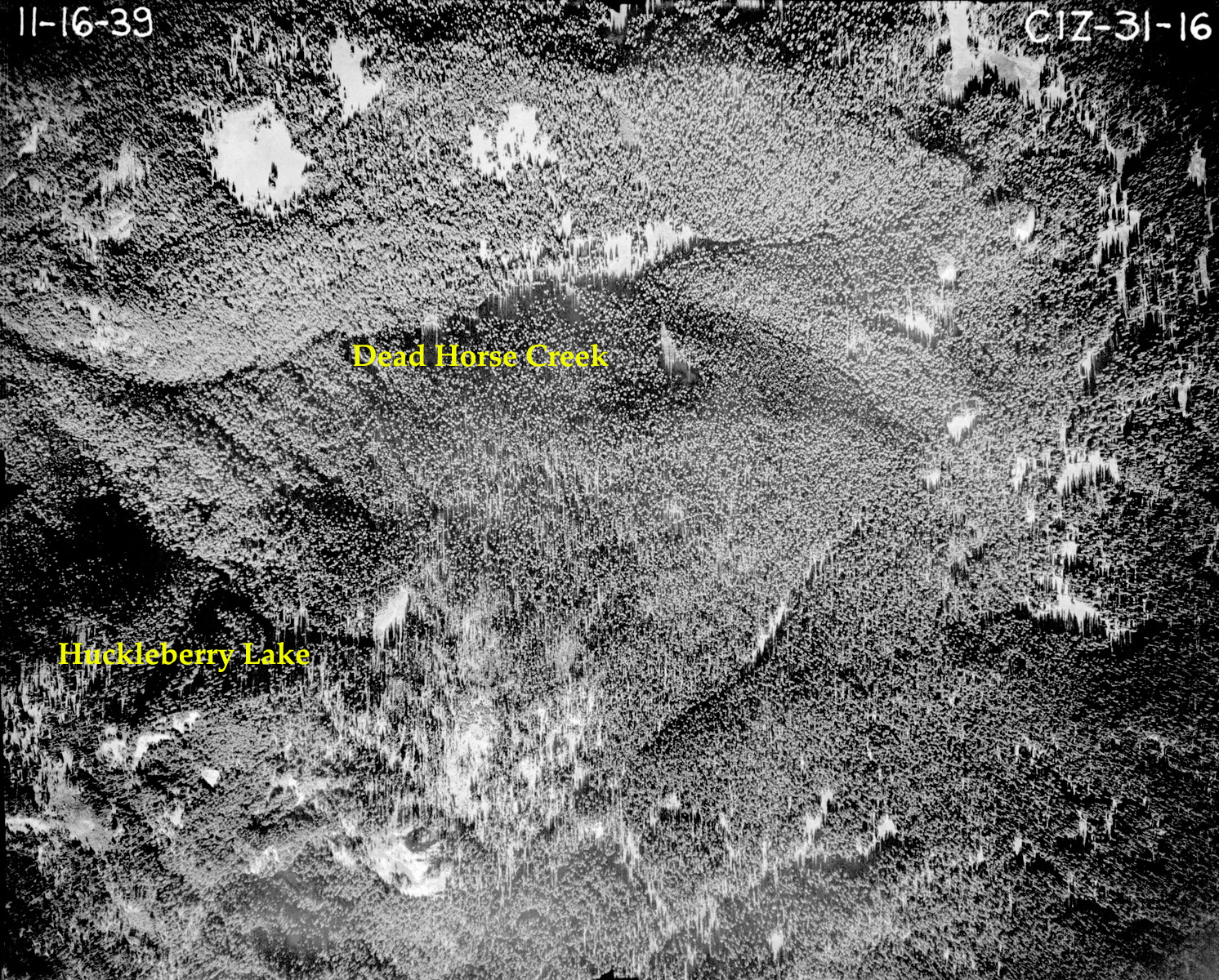
November 16, 1939
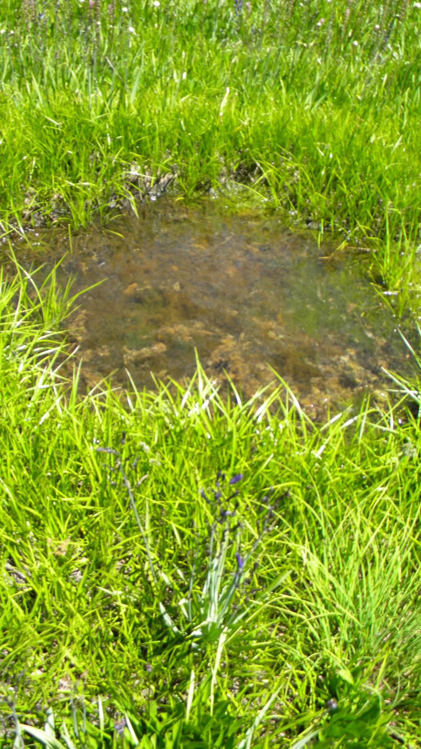
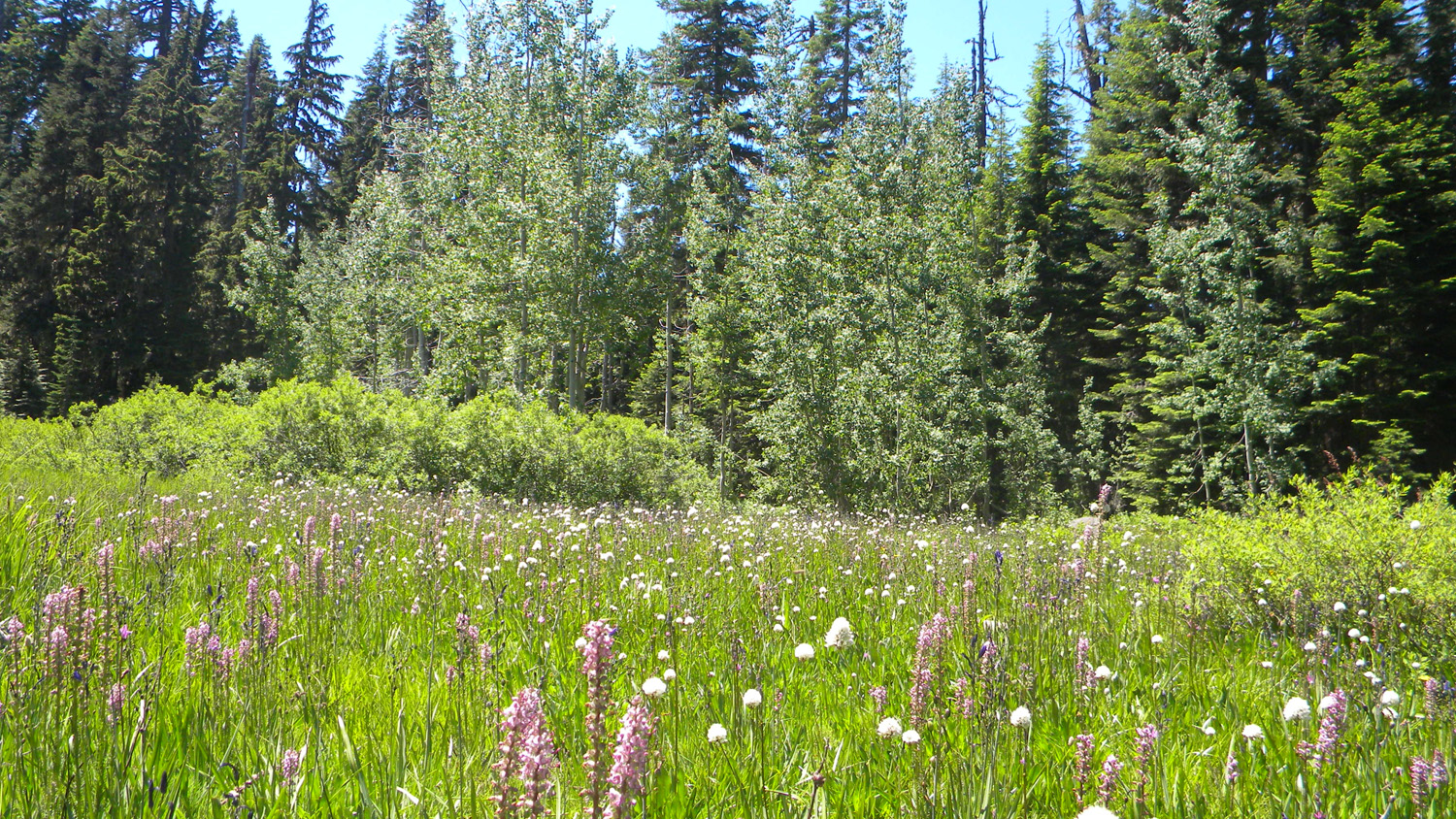


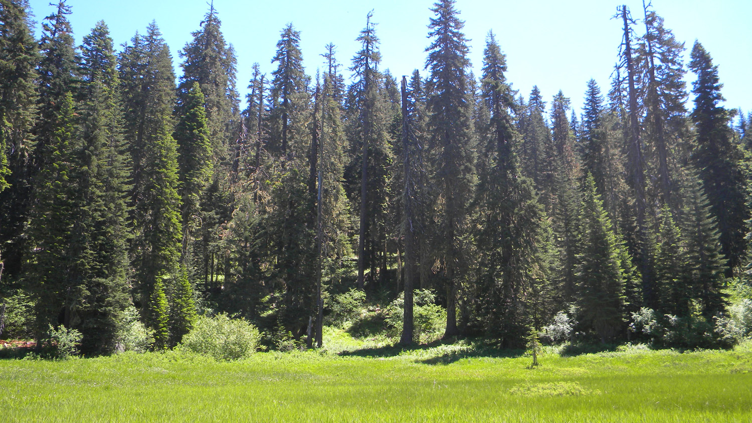
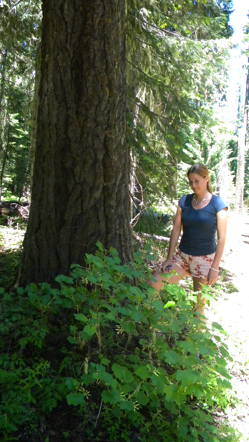
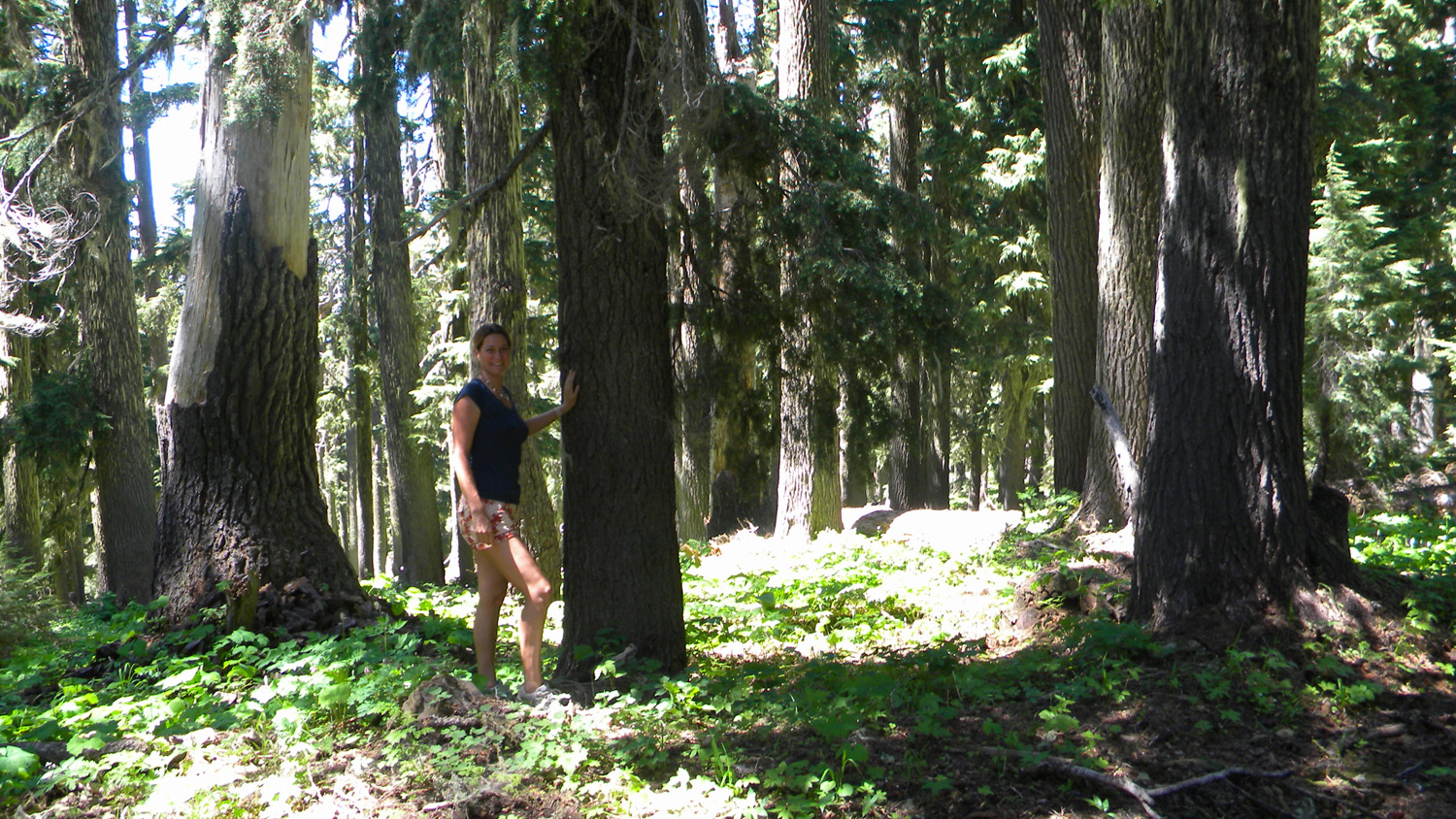
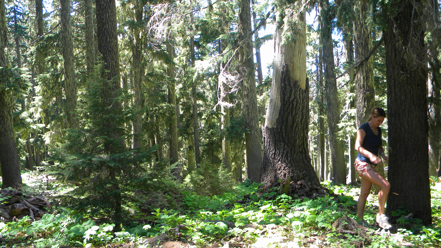
5247_Mud_Puddle5259_Huckelberry_Lake5260_Ancient_Throne5261_Huckelberry_Lake5262_Huckelberry_Lake
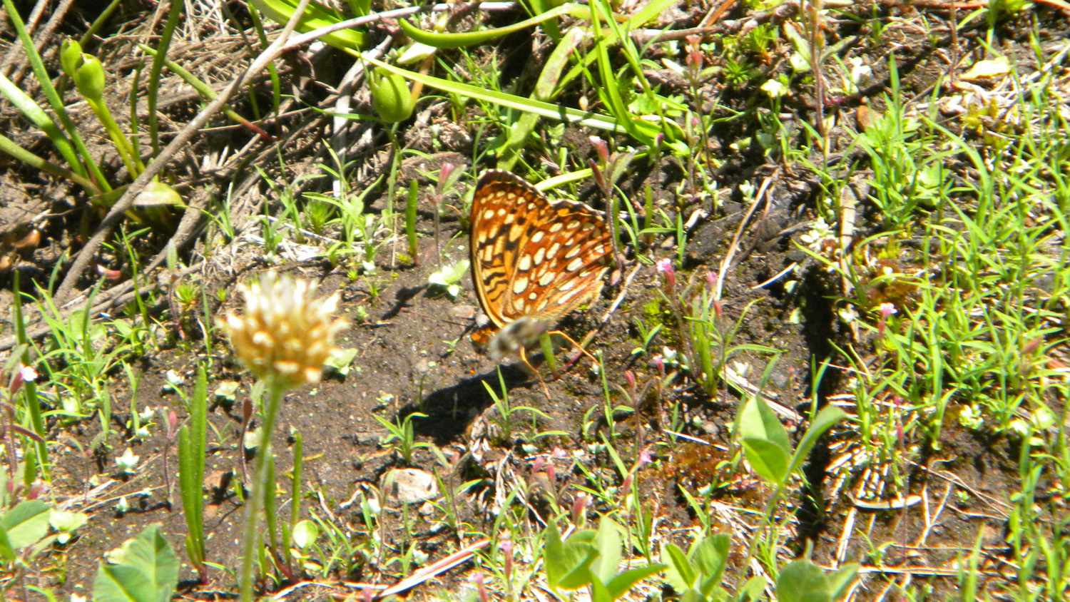
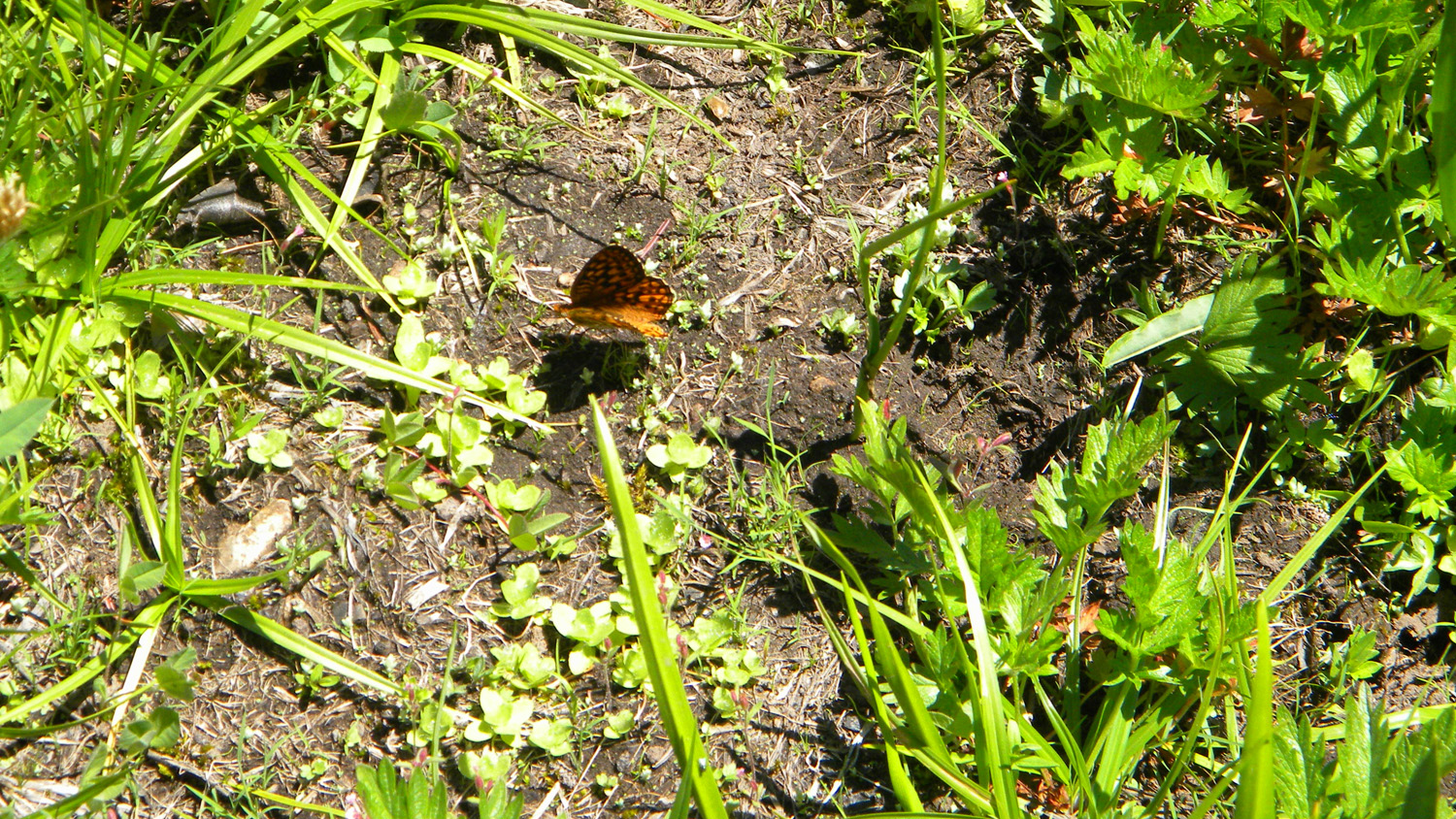
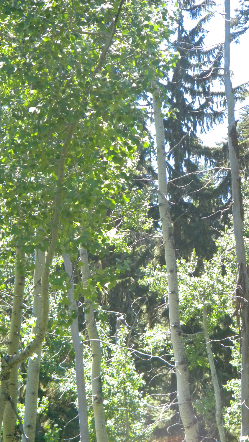
5263_Huckelberry_Lake5264_Huckelberry_Lake5265_Butterfly5267_Butterfly5268_Poplars

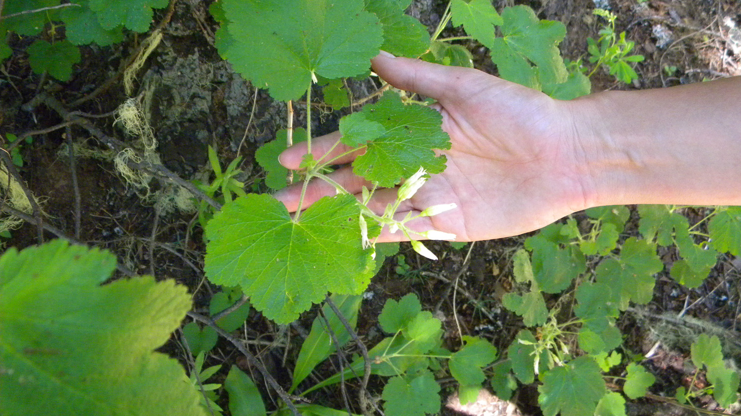
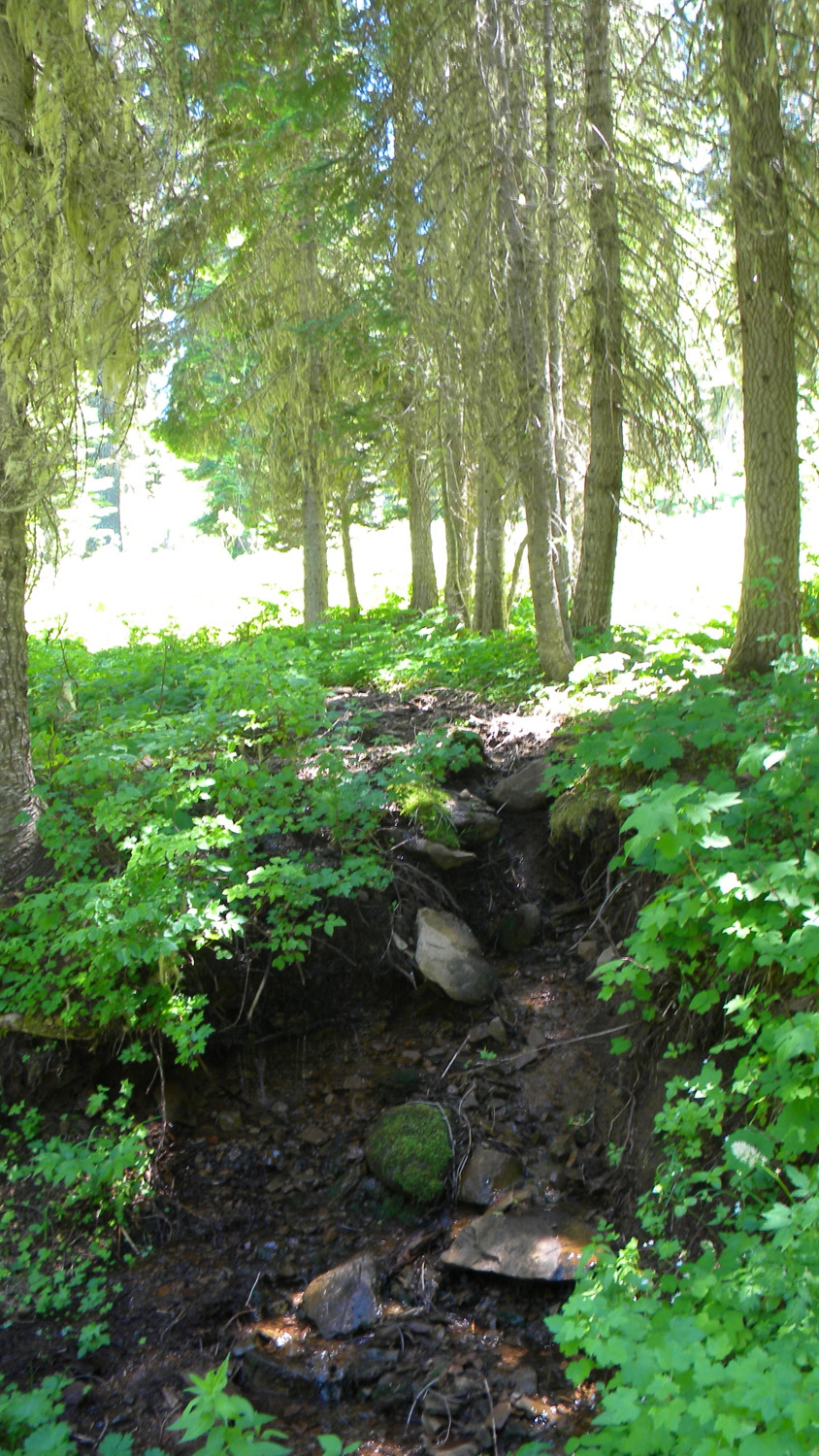
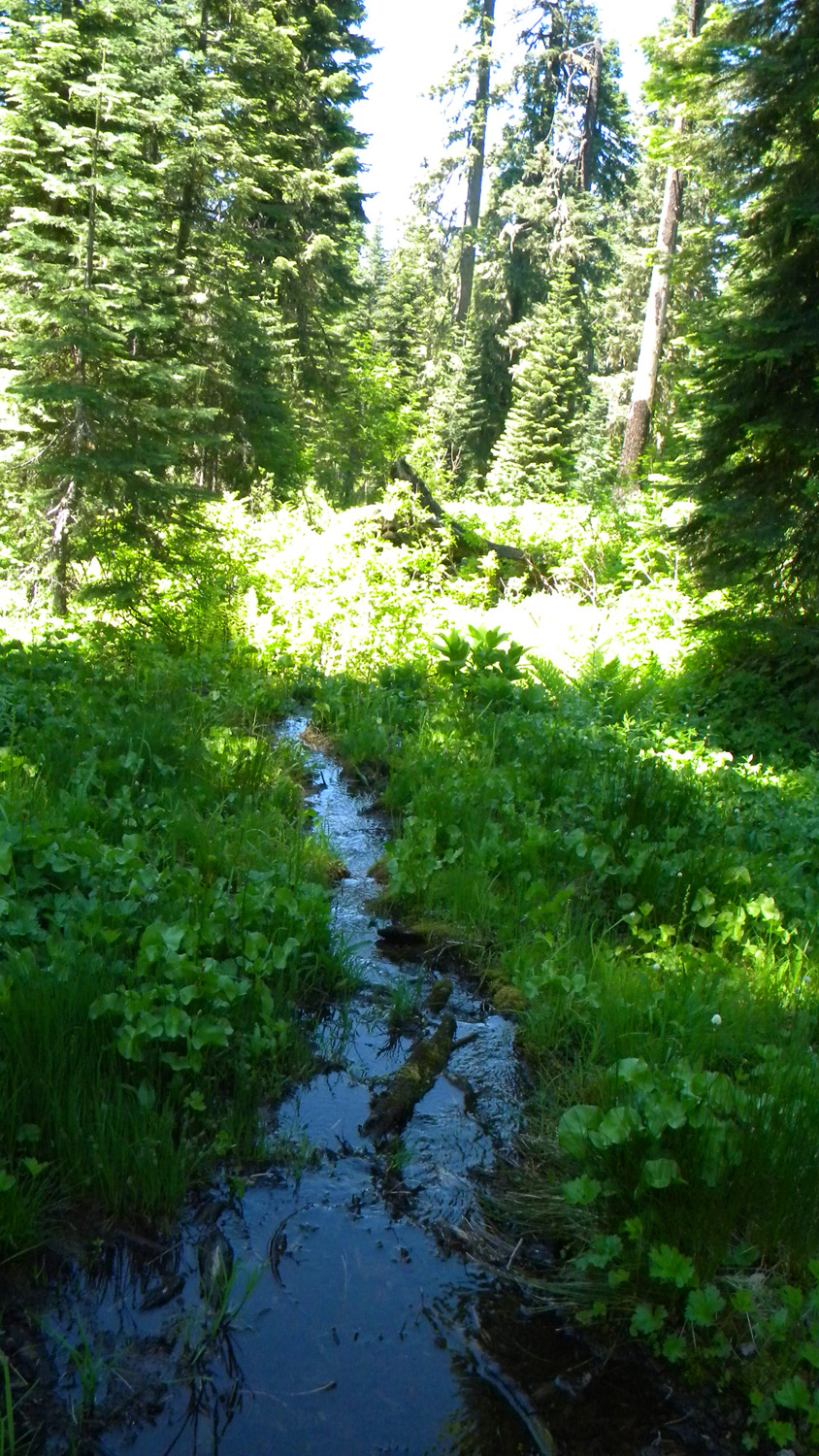
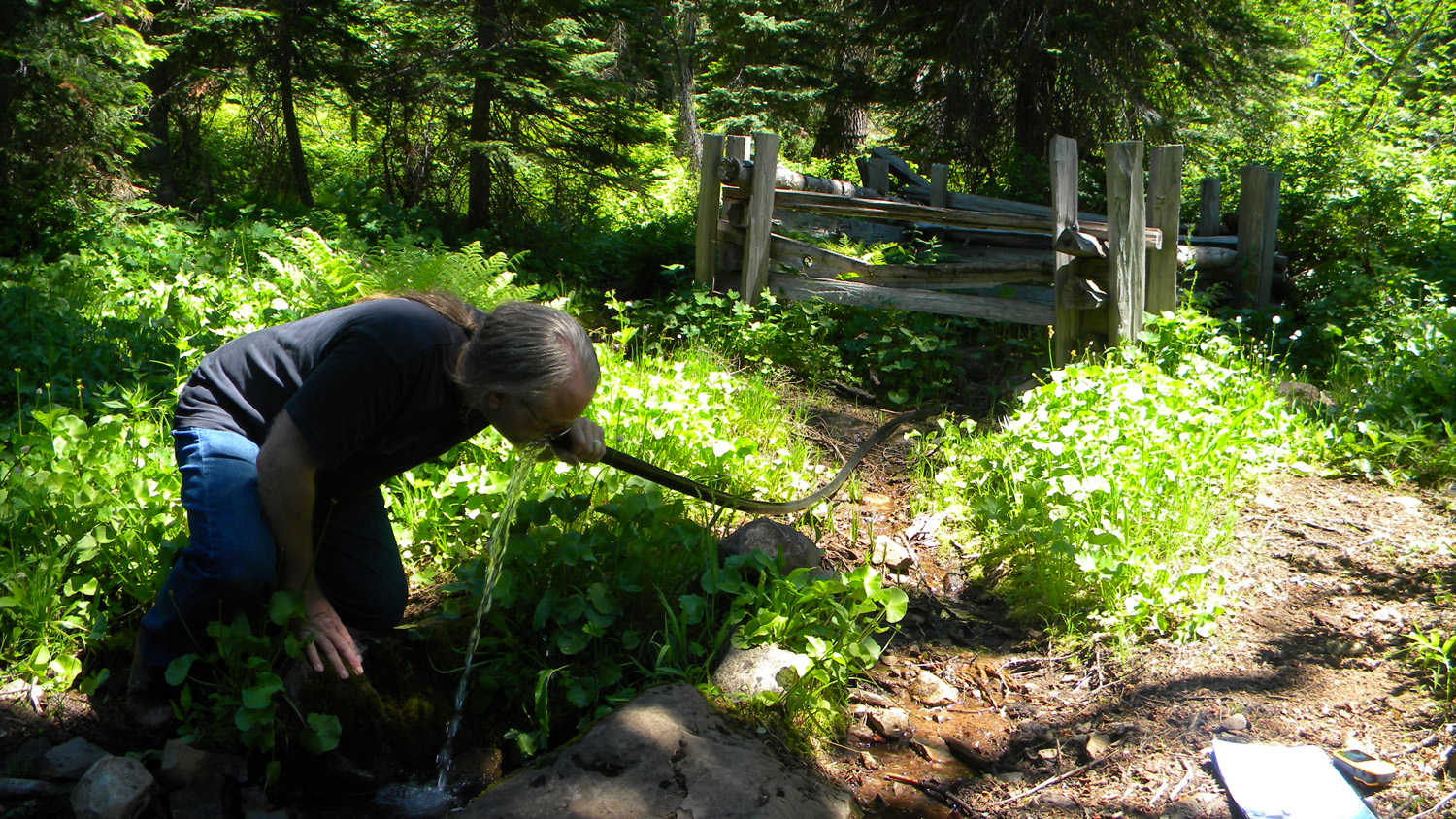
5269_Poplars5270_Unkown_Plant5271_Flowers5272_Neal_Spring5273_Neal_Spring
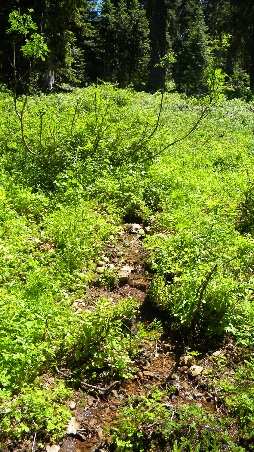
5274_Neal_Spring5275_Neal_Spring5276_Neal_Spring5277_White_Flowers5278_Neal_Spring
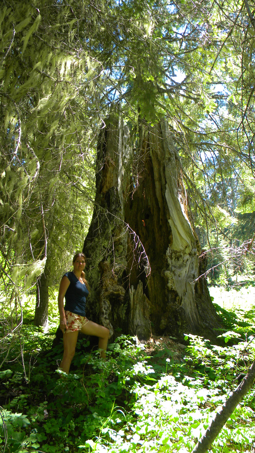
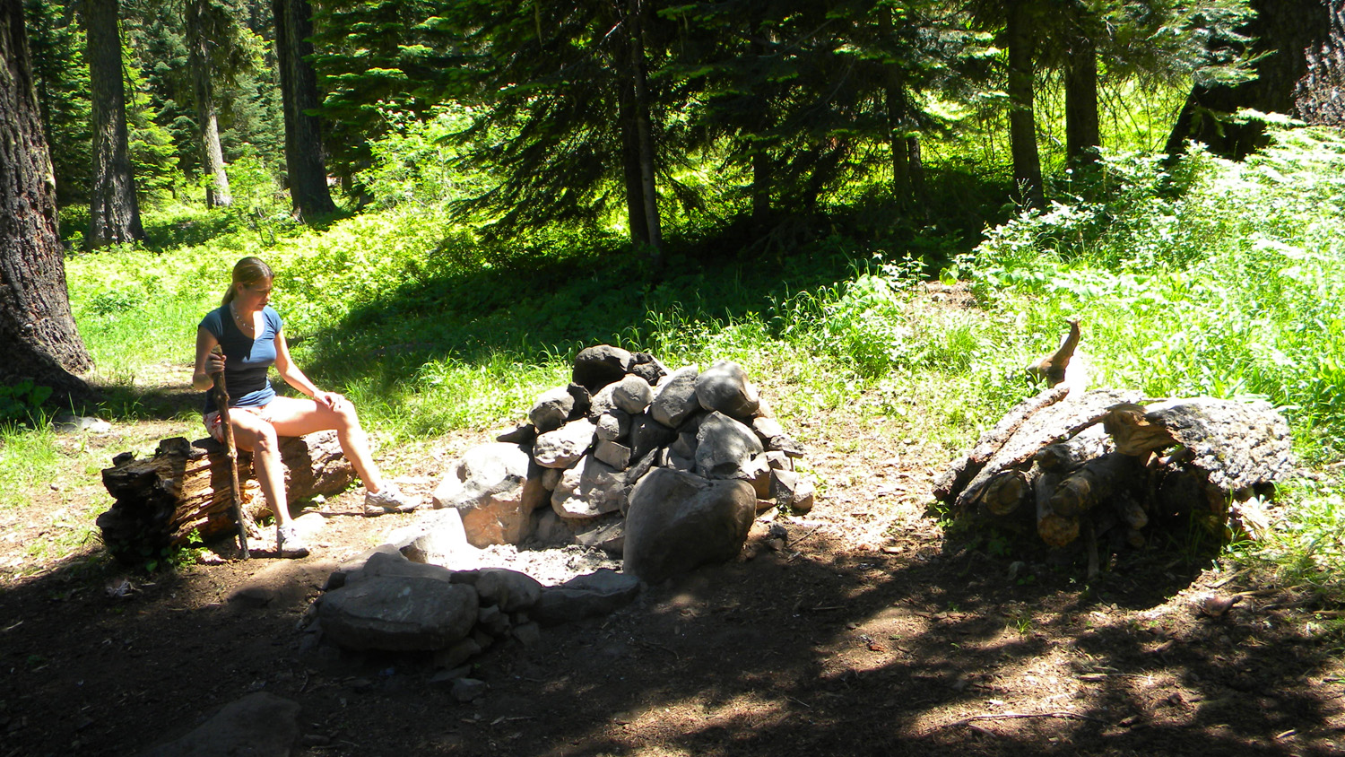
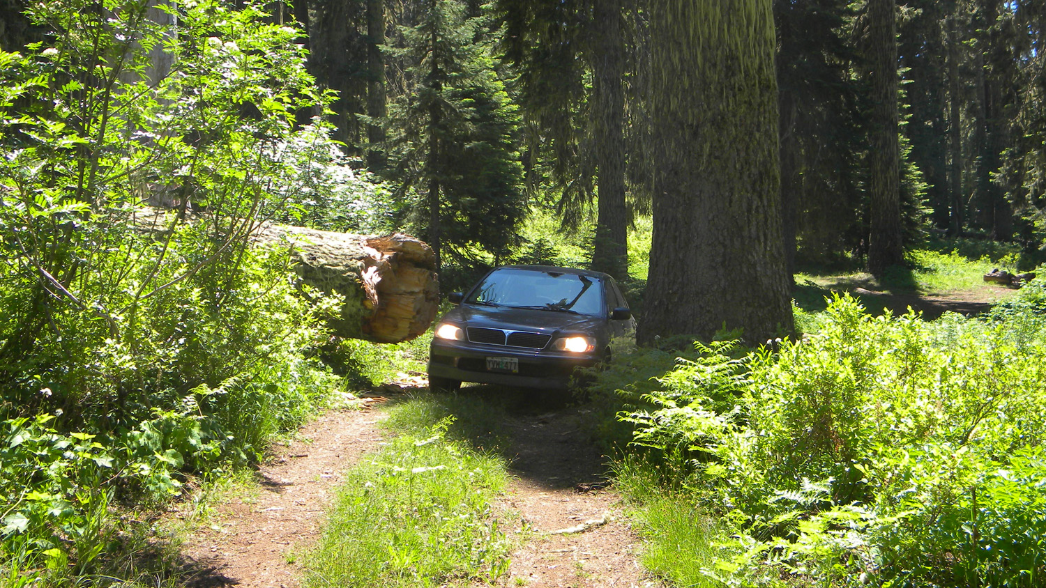
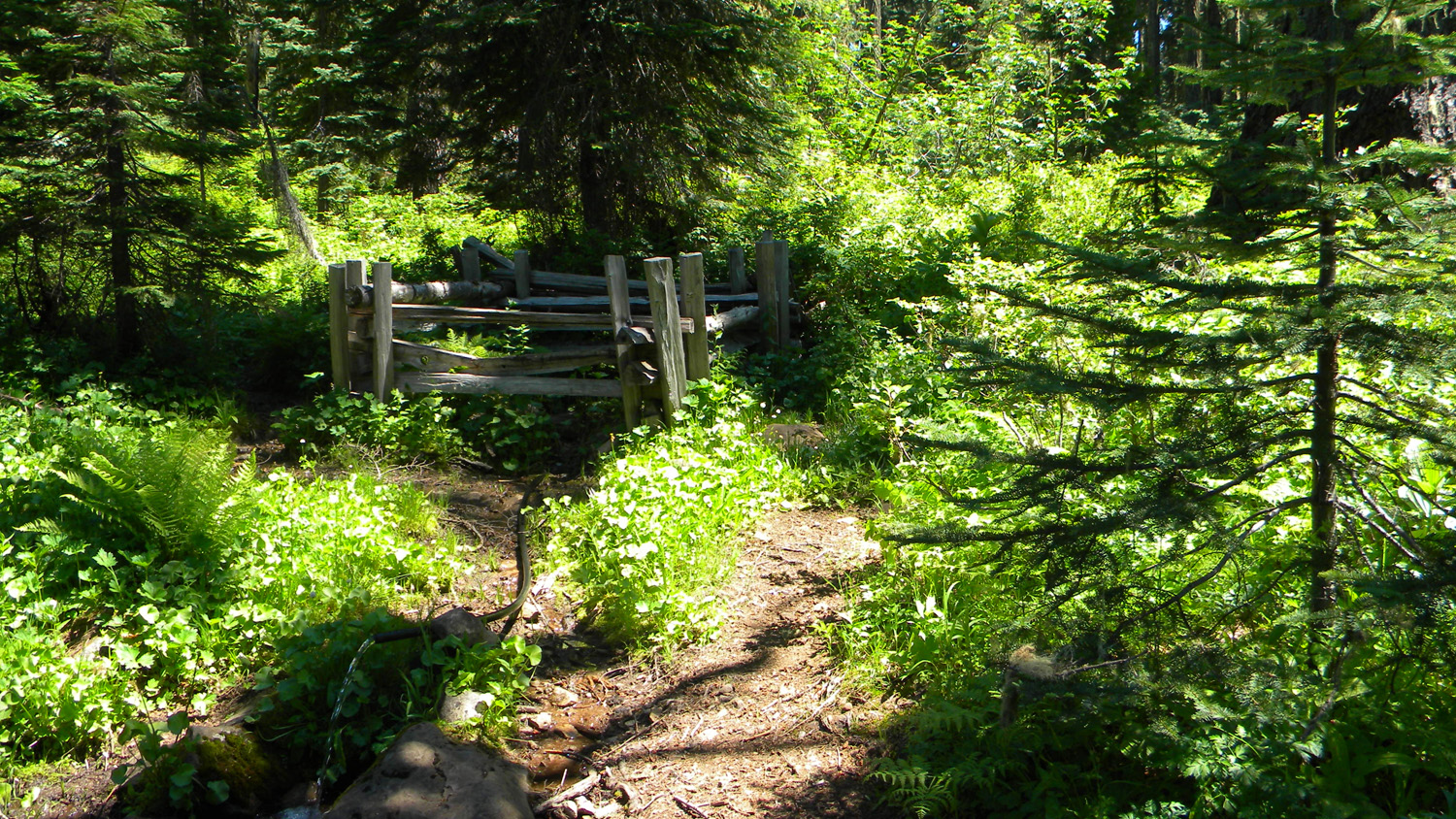
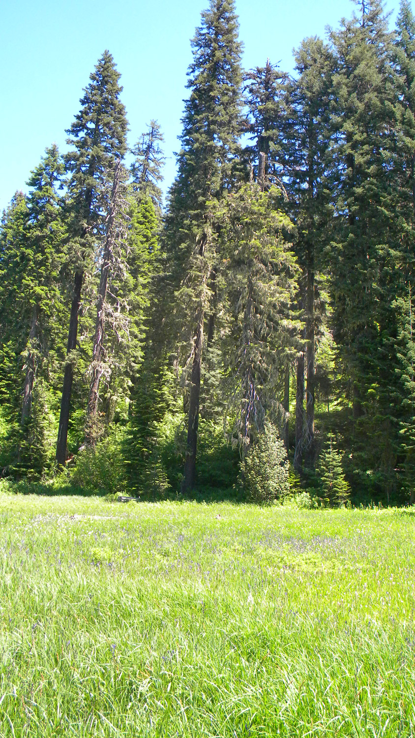
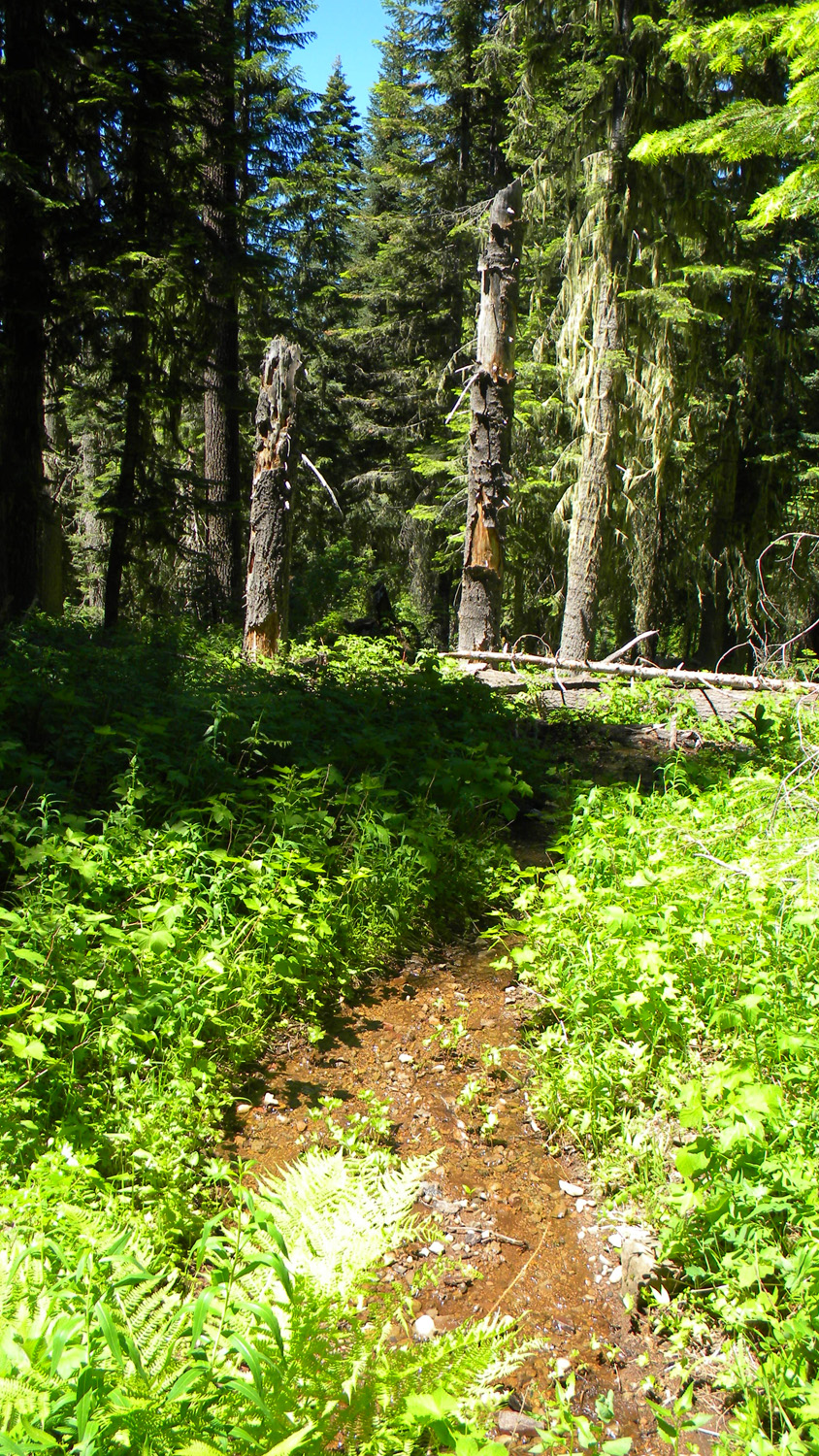
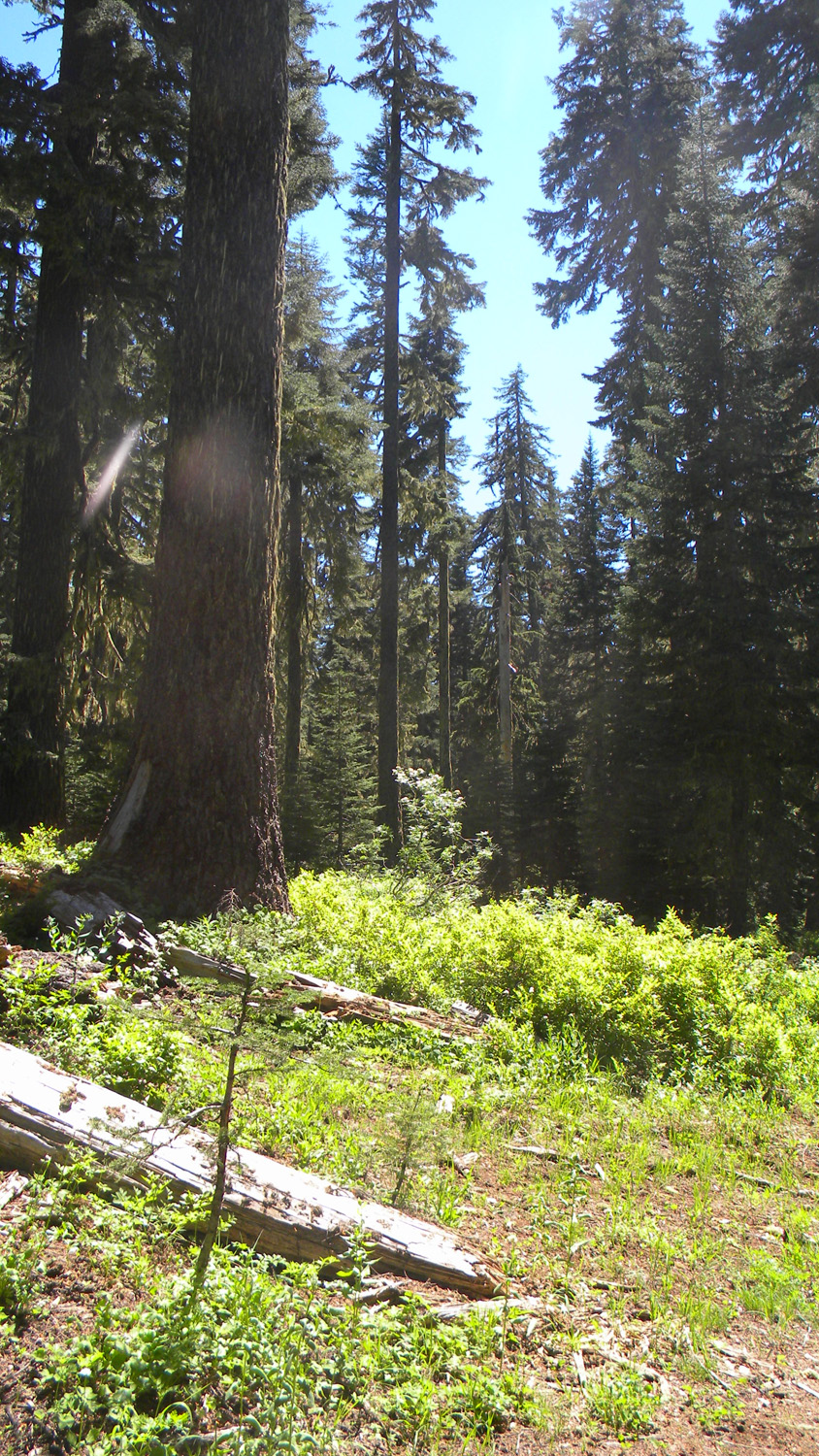
5279_Old_Growth_Stump5280_Neal_Spring_Camp5283_Neal_Spring_Trees5284_Tight_Fit5286_Neal_Spring
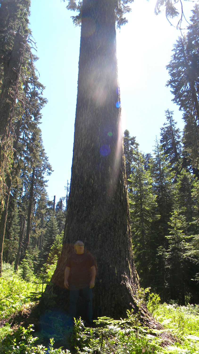
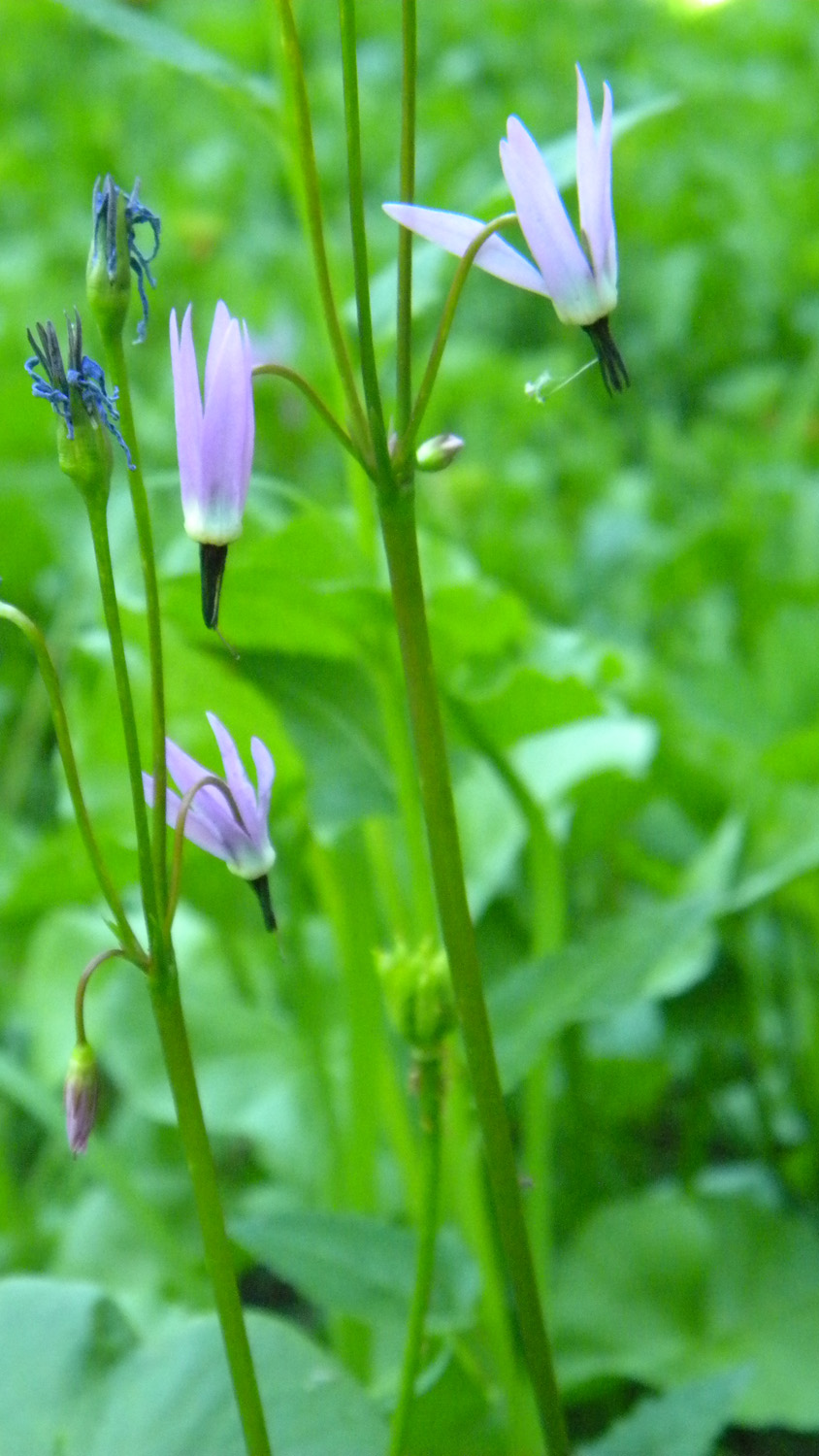
5287_Neal_Spring5288_Neal_Spring5290_Old_Growth5291_Shooting_Star5292_800_Road
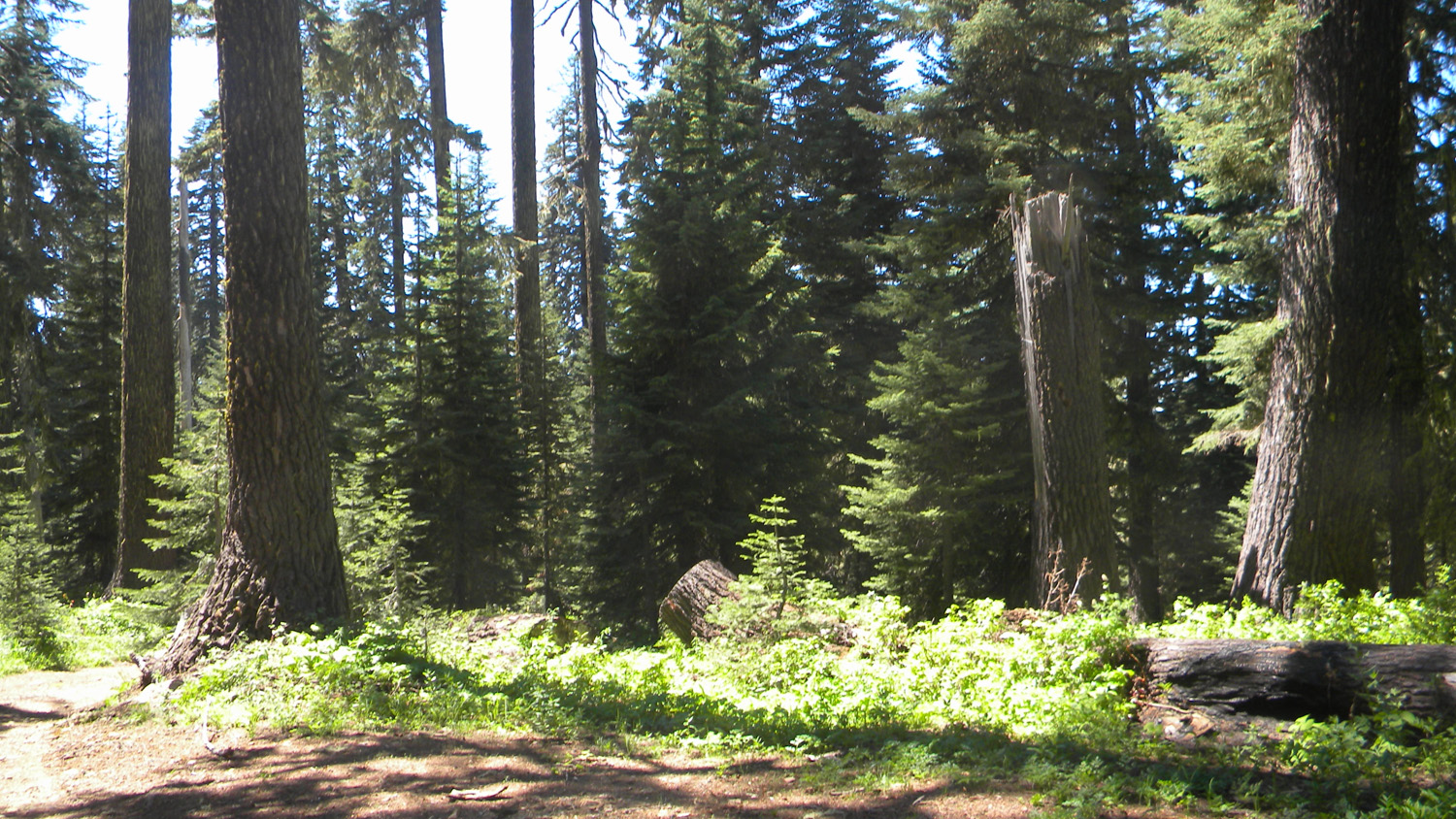
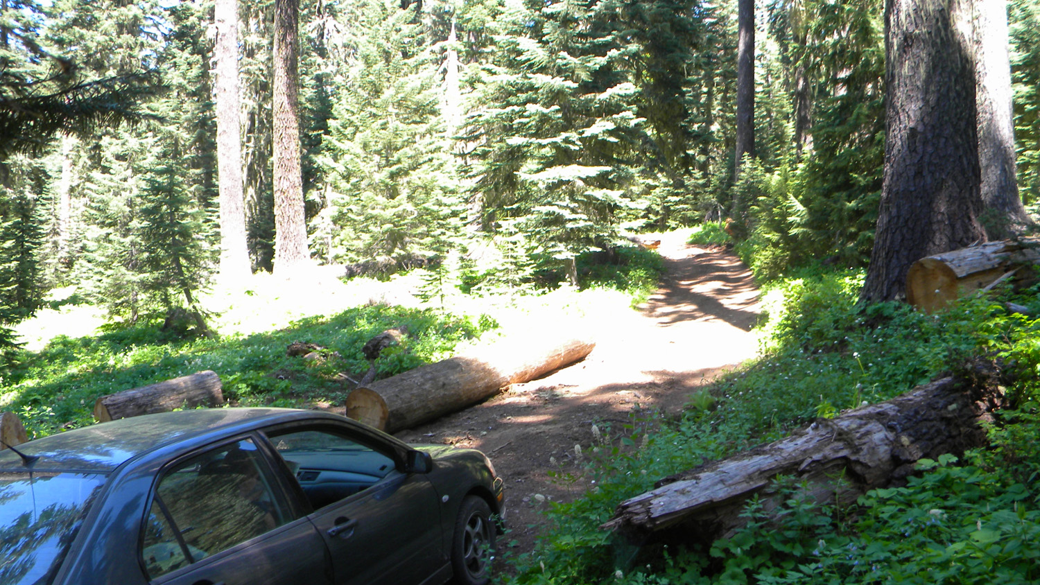
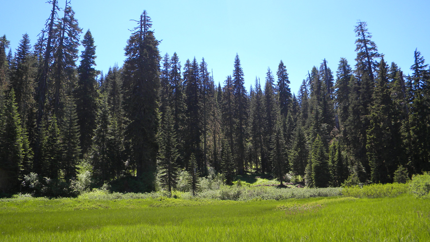
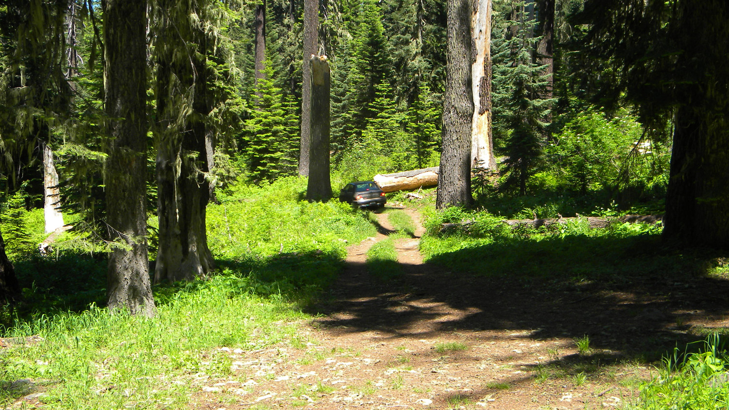
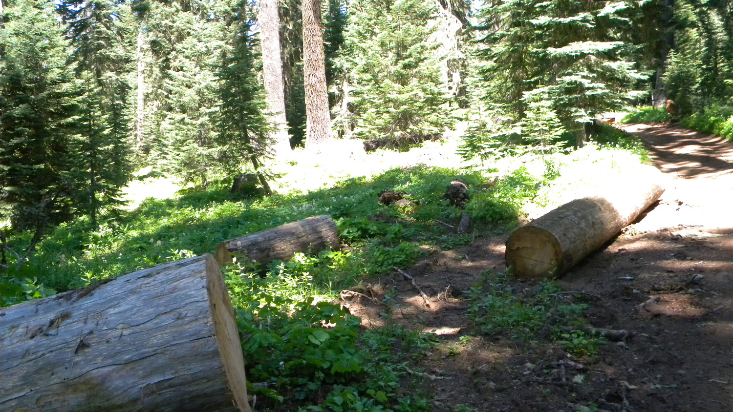
5293_800_Road5294_800_Road_Trees5295_800_Road_Trees5296_800_Road5297_Whaleback_Trees
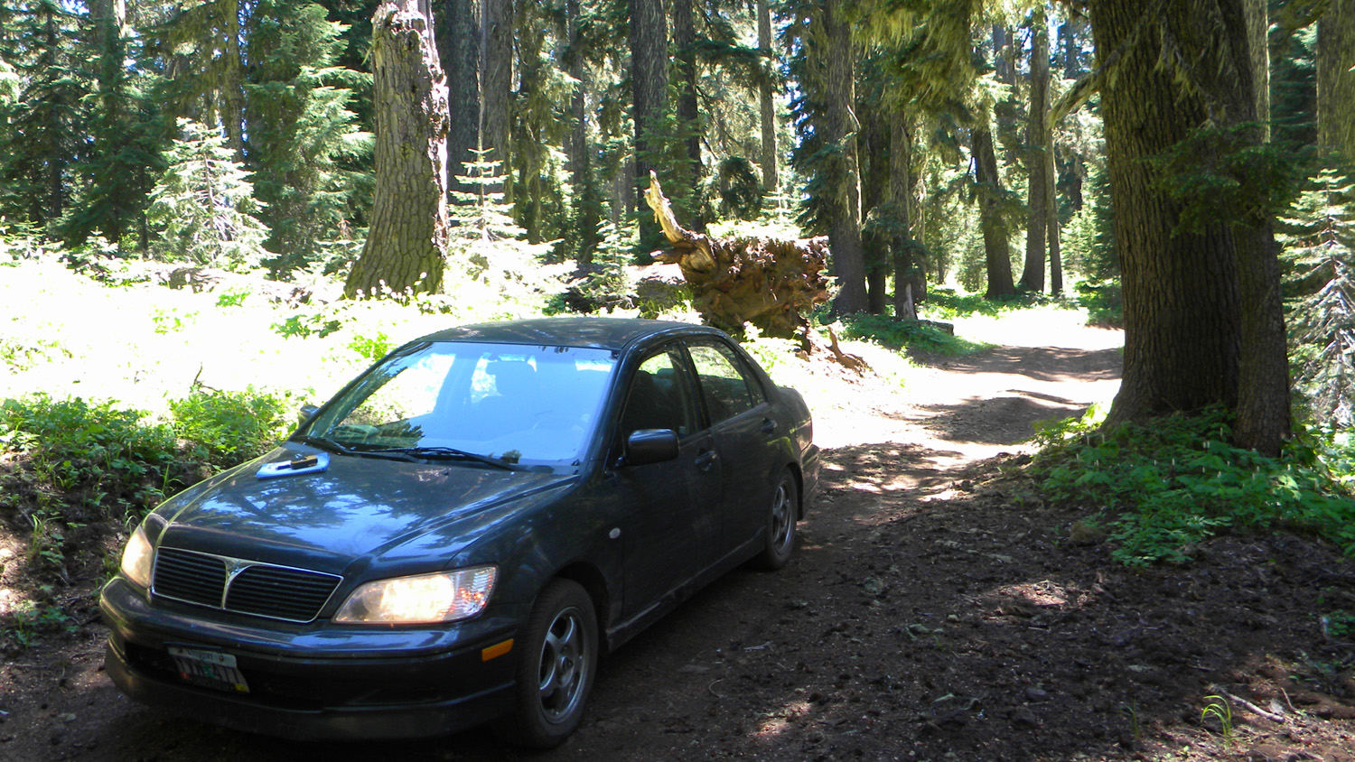
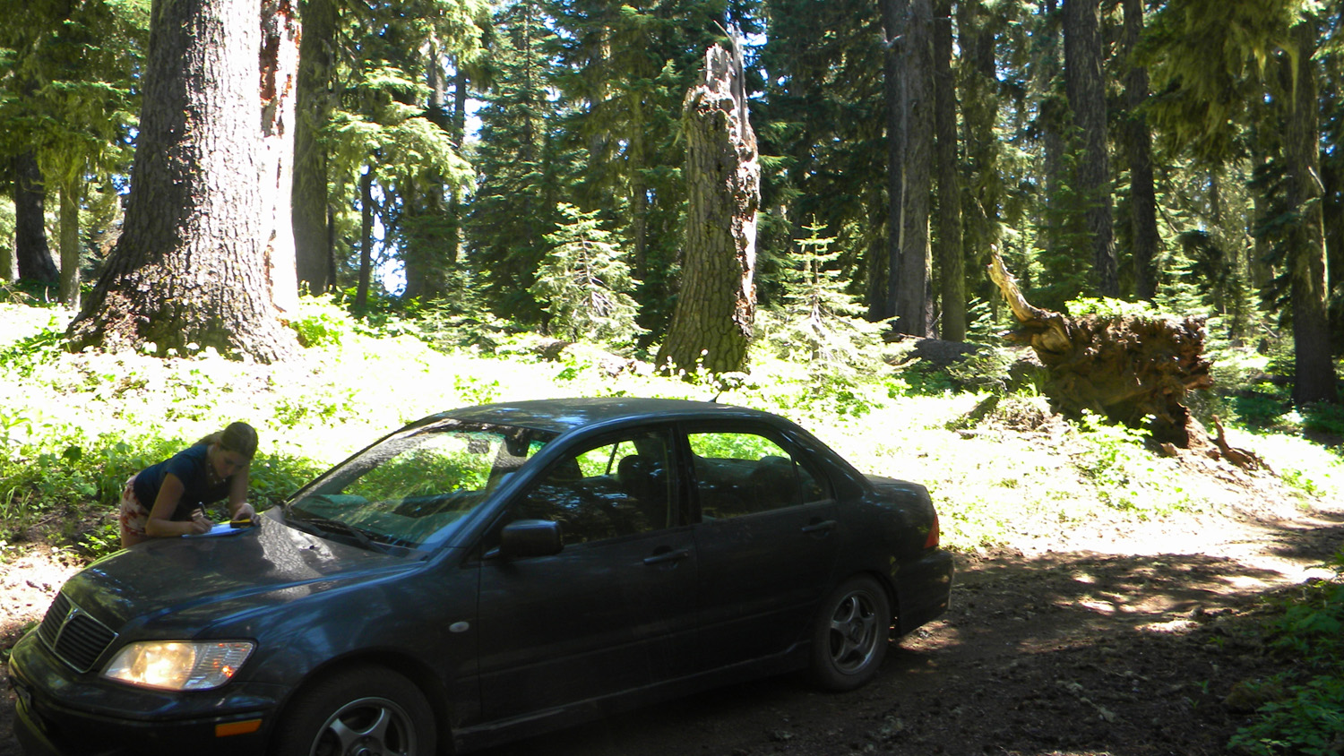
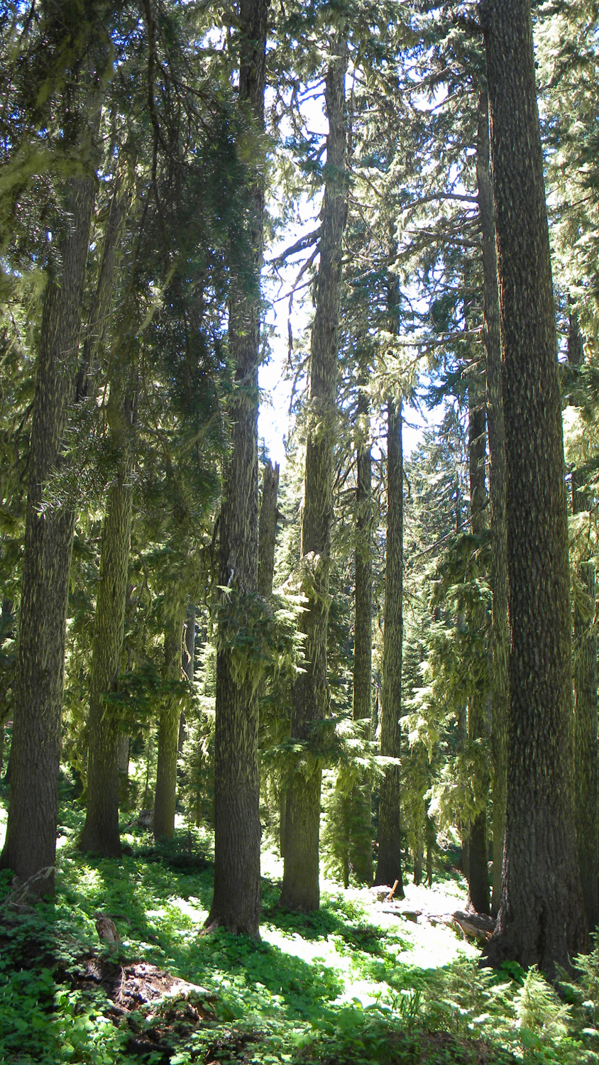
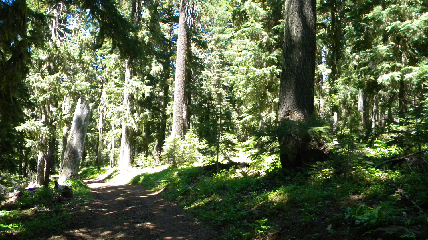
5298_Whaleback_Trees5299_Whaleback_Trees5300_Whaleback5302_Whaleback5303_Whaleback_Trees
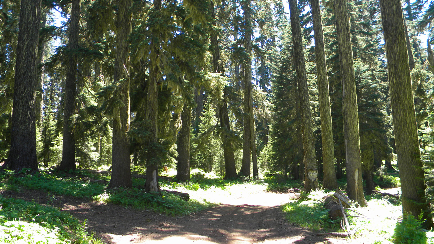
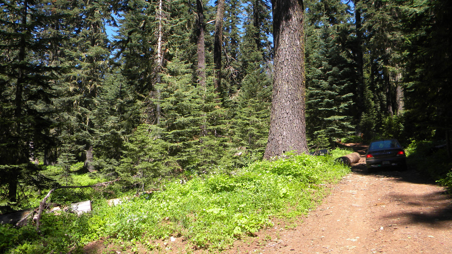
5304_800_Road