September 15, 2004 B&B Complex Field Trip
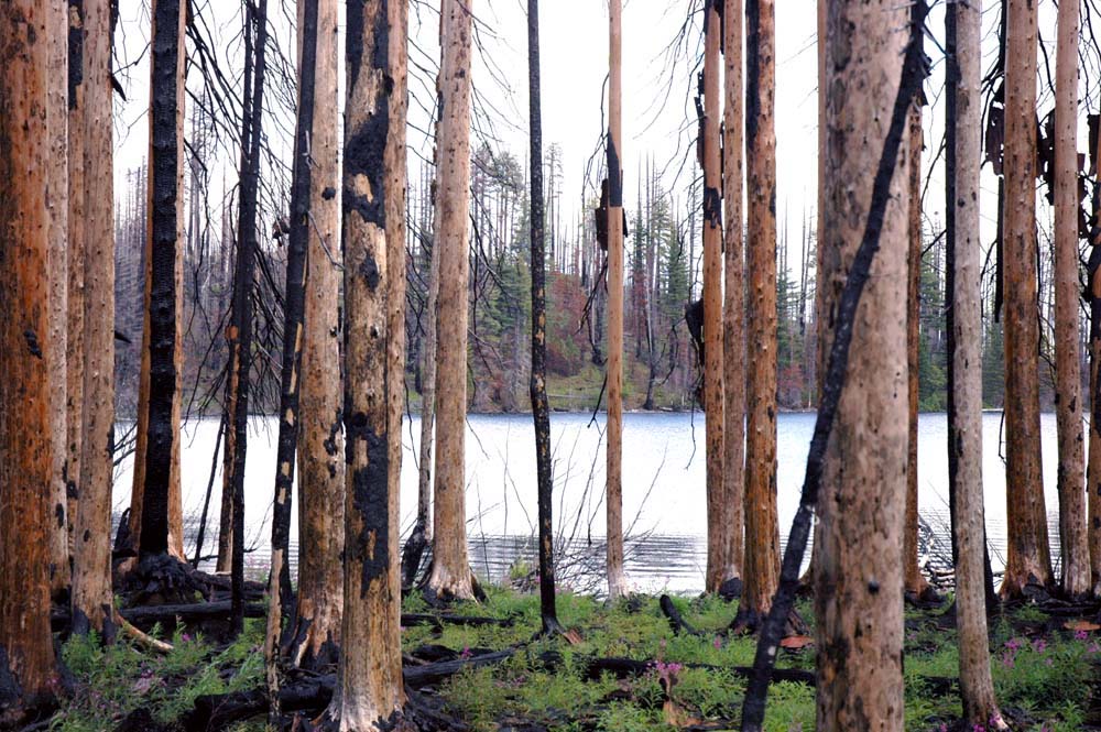
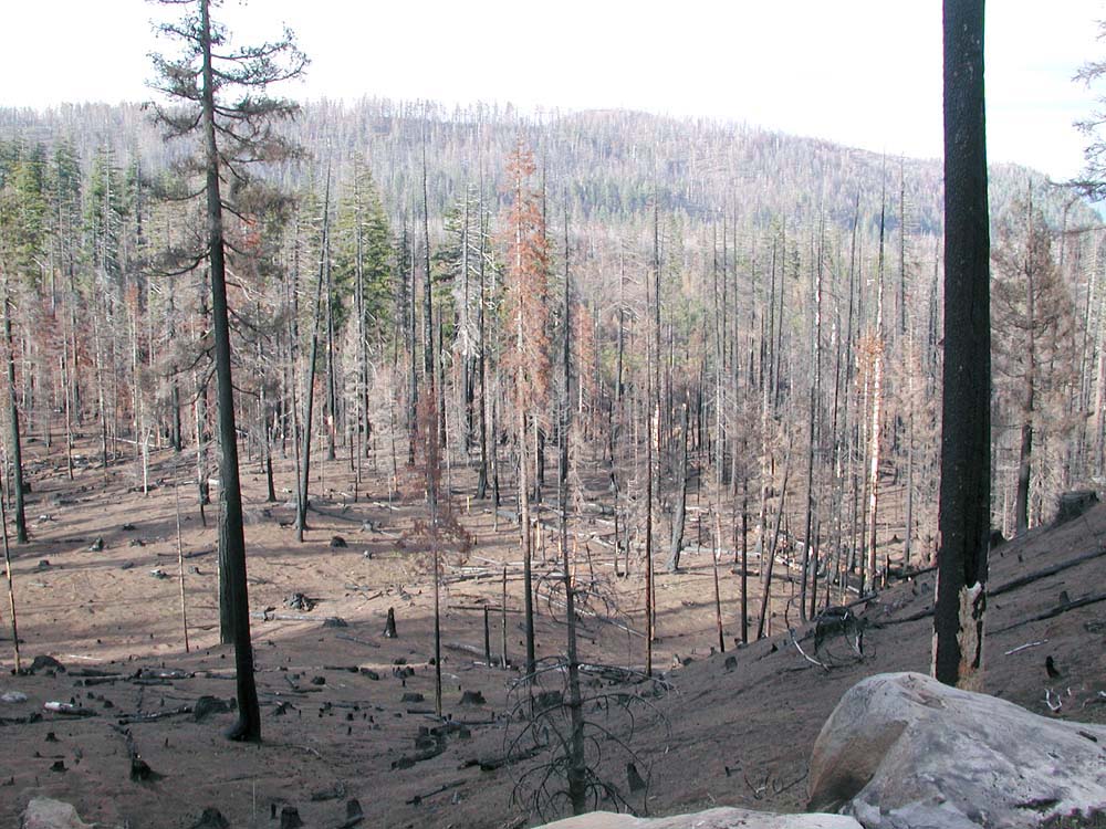
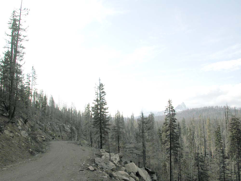
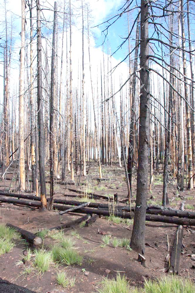
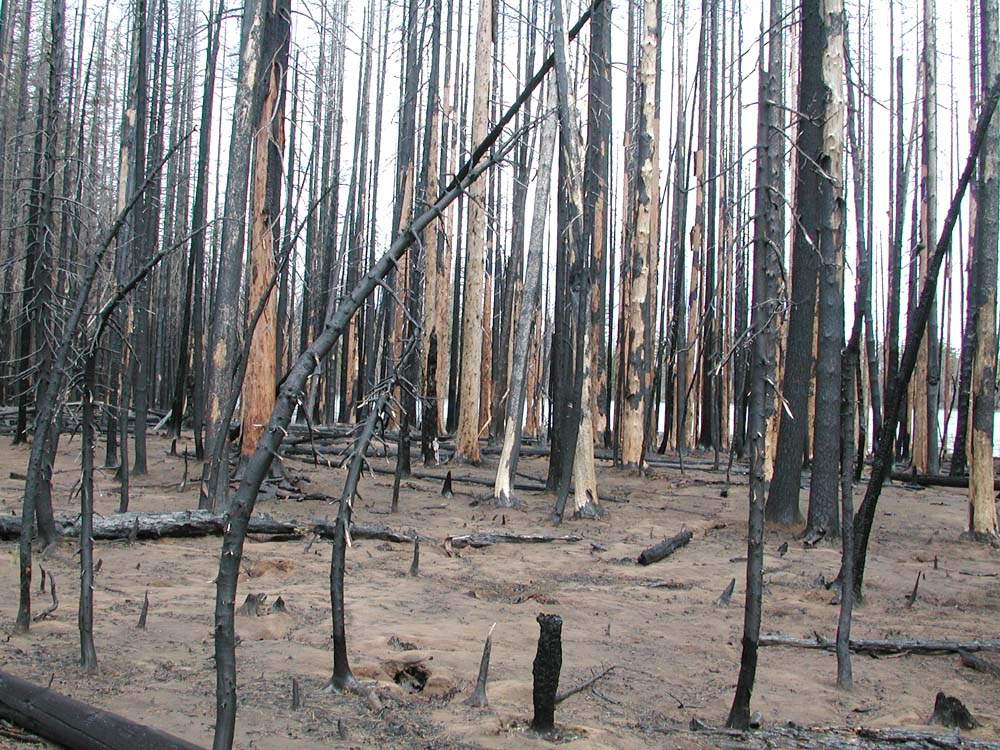
View east from west shore of Round Lake (Morrissette 2004)
This website report documents a September 15, 2004 field trip through the B&B Complex burn. Many of the observations and discussions of the select group of scientists, resource managers, and other forestry experts was recorded and will be added to this site as they are transcribed. The tour was sponsored by Oregon Websites and Watersheds Project, Inc.(ORWW) and Pacific Northwest (PNW) Research Station. Participants have represented a wide range of professional interests and institutions over the course of their careers.
The primary purposes of the field trip were to observe current conditions of the B&B Complex Fires of 2002-2003 (including the Links and Cache Mountain fires); to discuss desired future conditions; and to identify resource management roadblocks to achieving those conditons. Discussions of "desired future conditions" included mentions of aesthetically pleasing vistas, good wildlife habitat, regular timber production (and harvest), numerous recreational opportunities, and management actions directed by strong fire prevention and reforestation policies.
Much of the discussion that took place during the tour was recorded. Transcripts will be made of recorded discussions that are relevant to the tour's objectives. Completed transcripts, video clips, additional photos, and other data specific to the tour will be posted as such materials are processed or received.
Tour Stops
Mount Washington Viewpoint (1940 - 20004): Repeat Photography
Link Creek Subbasin: Retrospective Studies and Gridpoint Project
Round Lake: Long-Term, Landscape-Scale Management Experiments
Santiam Lodge: Historic Preservation
Mount Washington Viewpoint (1940 to 2003): An inheritance from our ancestors and a legacy for our descendents
The field trip began at the Mount Washington overlook on Highway 20, to the immediate northwest of Suttle Lake. Bill Hagenstein had participated in a mountain pine beettle survey in the area during the late 1930s. Others in the group had regularly visited the area since the 1950s and thereafter, and were very familiar with the history of local forest conditions, particularly for the last 50 years.
Hagenstein's observations on insect outbreak history, forest management, and wildfire prevention have represented the industrial forestry profession for more than half a century. Recordings and transcripts of his memories and thoughts on these topics can be found on the "Key People" profile page featuring Bill Hagenstein.
Tour Handout: Repeat Photography.
View of Mount Washington from the Santiam Pass, 1970 to 2003.
![]()
Mount Washington from Santiam Pass viewpoint, overlooking Link Creek subbasin, July 1970 (Oregon Historical Society neg. # 8534).
![]()
Mount Washington from the Highway 20 viewpoint overlooking Link Creek subbasin. Note initial tree mortality and final smoke plumes from the B&B Complex Fires, September 20, 2003 (photograph by Benjamin Stout).
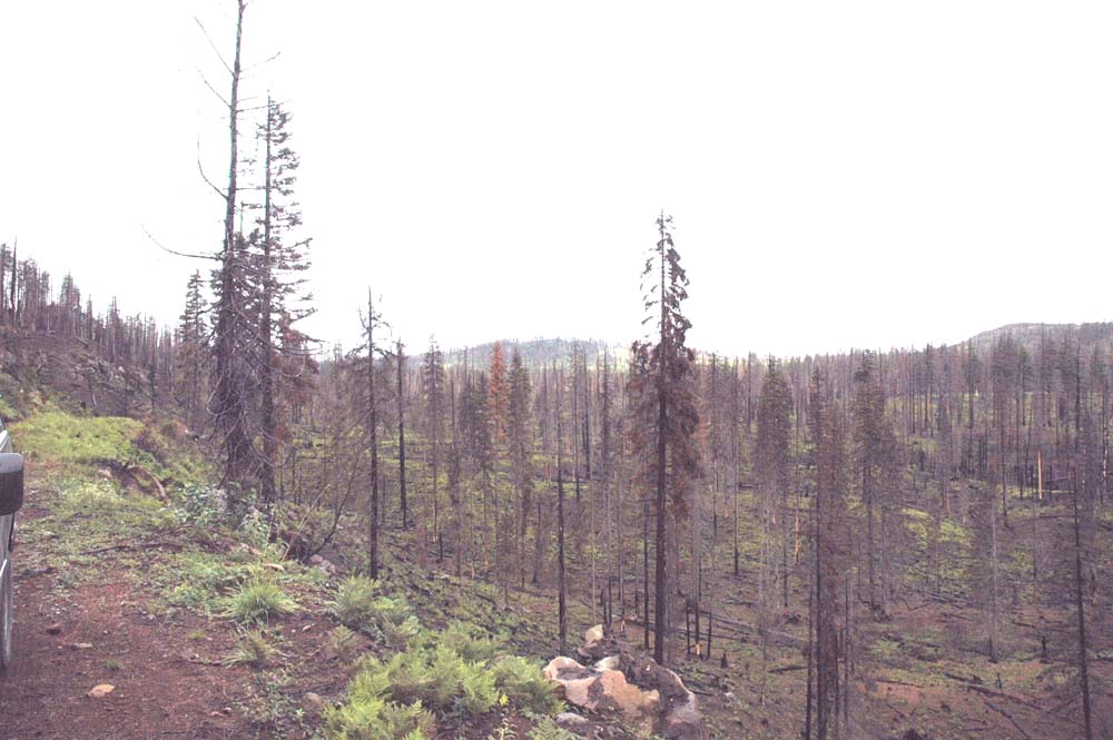
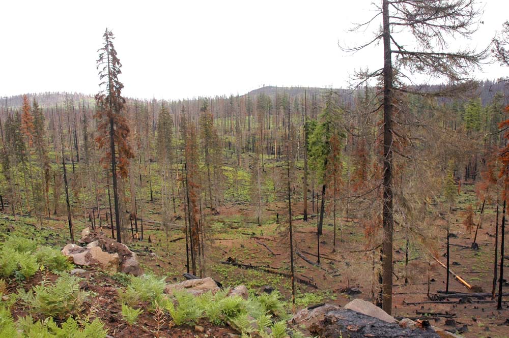
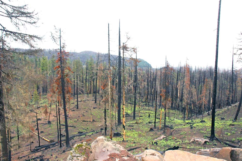
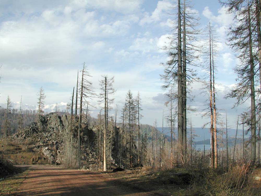
Link Creek Subbasin: Management history and wildfire behavior
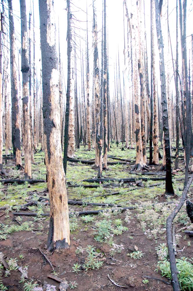
The second stop on the tour overlooked the Link Creek subbasin, a principal tributary to Blue Lake and Suttle Lake to the east. The value of repeat photography as a forest management and research tool was presented in context to the Repeat Photography Grid Project, which had been undertaken as a cooperative effort by several tour participants.
The three pictures below were taken during the stop and show the amount of greening (mostly bracken fern) that has occurred within the burn's first growing season. The view is north and east from the southwest watershed boundary of the basin. Compare these photos with ones of the same area taken four month's earlier: #01, #02, #03, #12, #13.
Western Link Creek Subbasin from Rocky Point Lookout, September 15, 2004
 |
 |
 |
Tour Handout: 360° Panoramic Photo Sequence
Link Creek Subbasin from Rocky Point Lookout, May 15, 2004
 |
 |
View of Suttle Lake to
east
|
View of Suttle Lake to
east from 2076 Road
|
 |
 |
#01 Link Creek subbasin,
north view
|
#02 Link Creek subbasin,
northeast view
|
 |
 |
#03 Link
Creek subbasin, northeast view
|
#04 Link Creek subbasin,
east view
|
 |
 |
#05 Link Creek subbasin
soil
|
#06 Link Creek subbasin
soil
|
 |
 |
#07 2076
Road, south view
|
#08 2076 Road cutbank,
southwest view
|
 |
 |
#09 Link Creek watershed,
west view
|
#10 Link Creek watershed,
west rimrock
|
 |
 |
#11 Link Creek watershed,
northwest cutbank
|
#12 2076 Road, Three
Fingered Jack, north view
|
 |
Photographs of Suttle Lake
and the Link Creek subbasin 360° panorama
were taken May 15, 2004 (Zybach and
Lapham 2004) |
#13 2076 Road shoulder,
Three Fingered Jack, north view
|
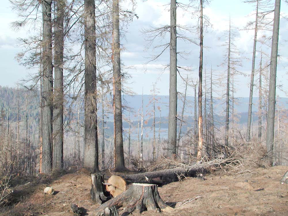
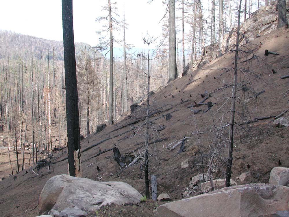
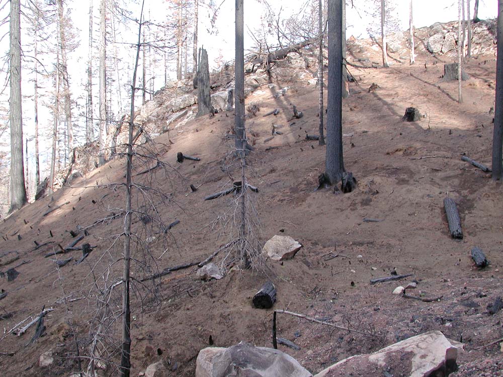
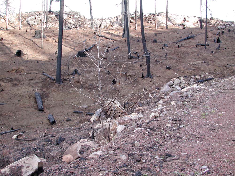
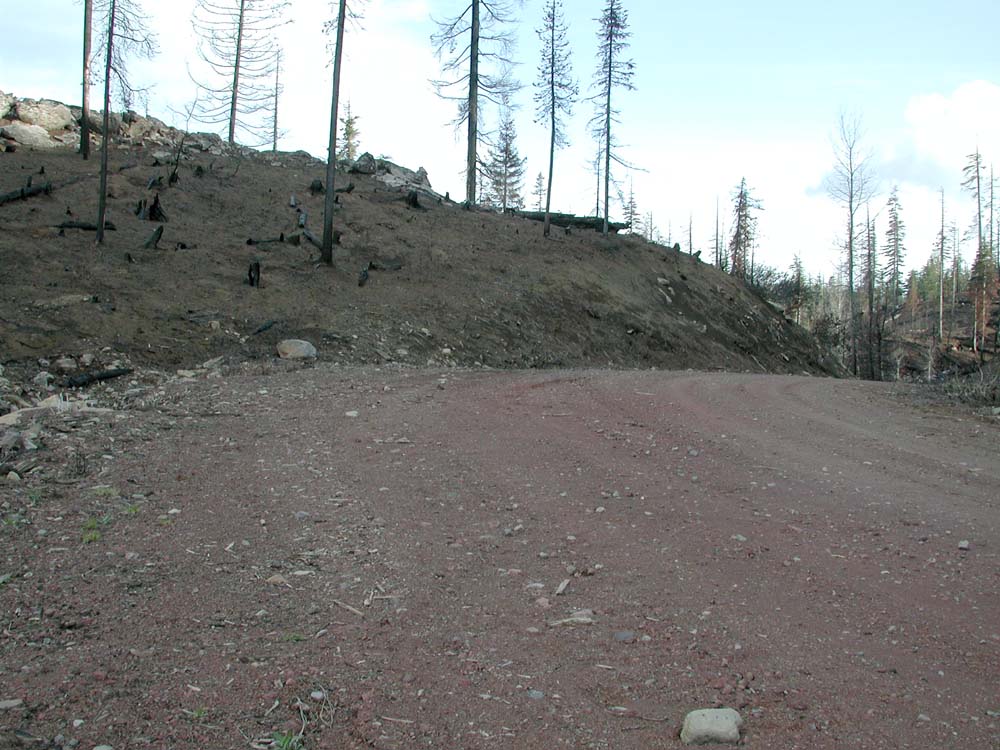
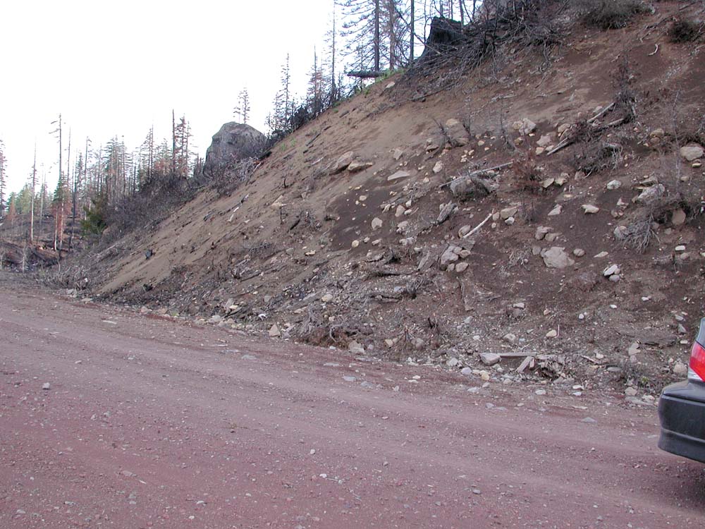
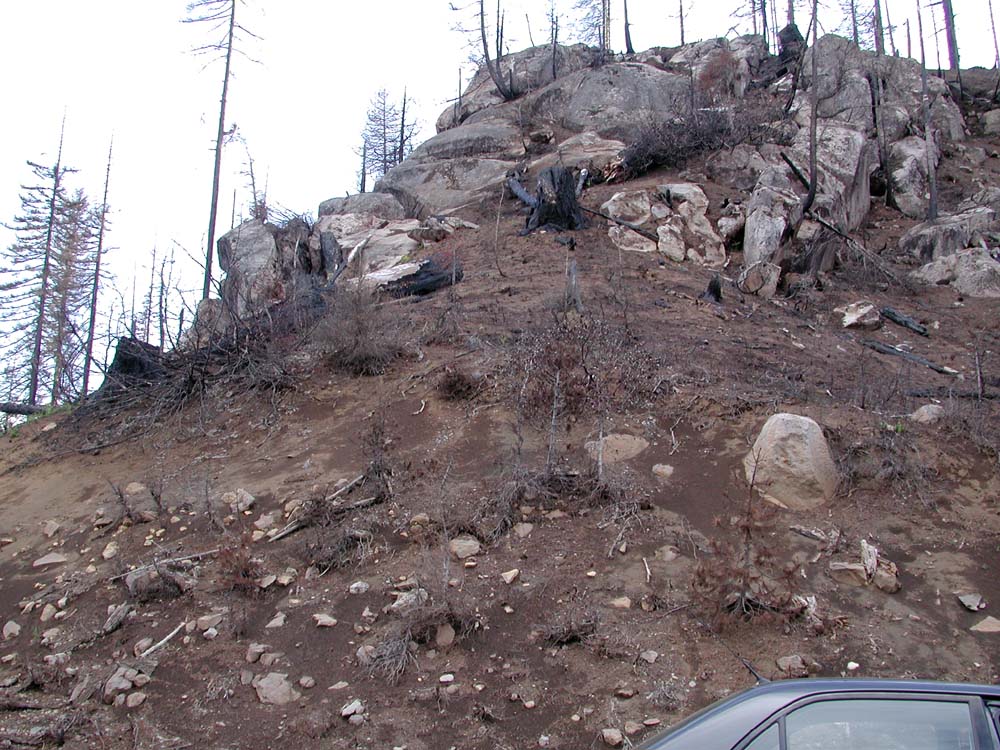
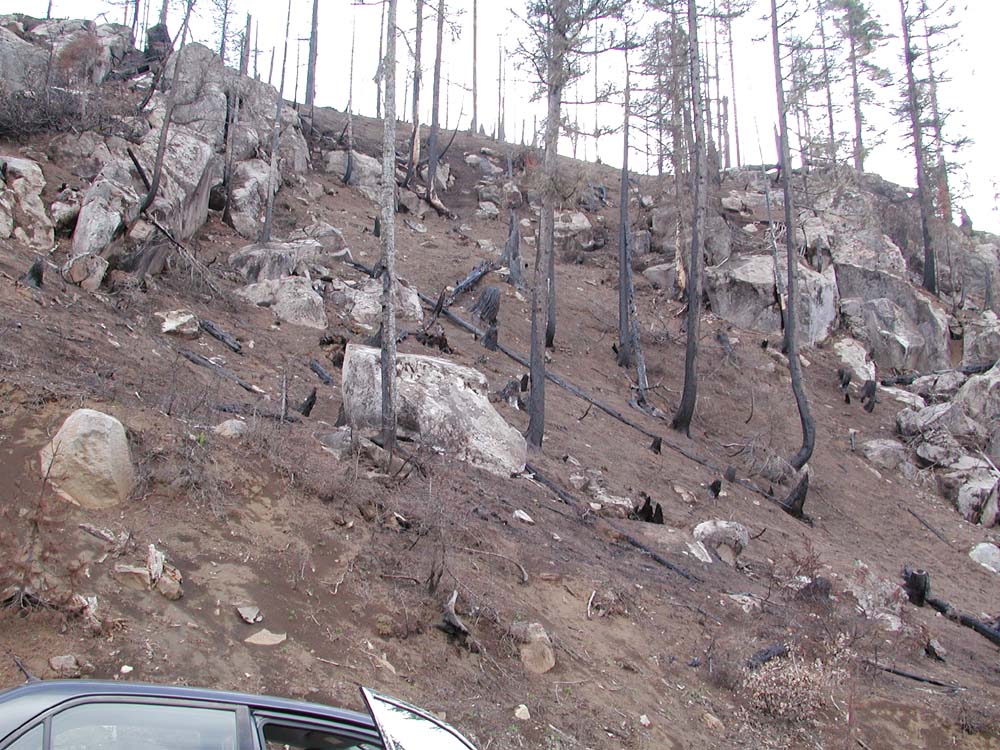
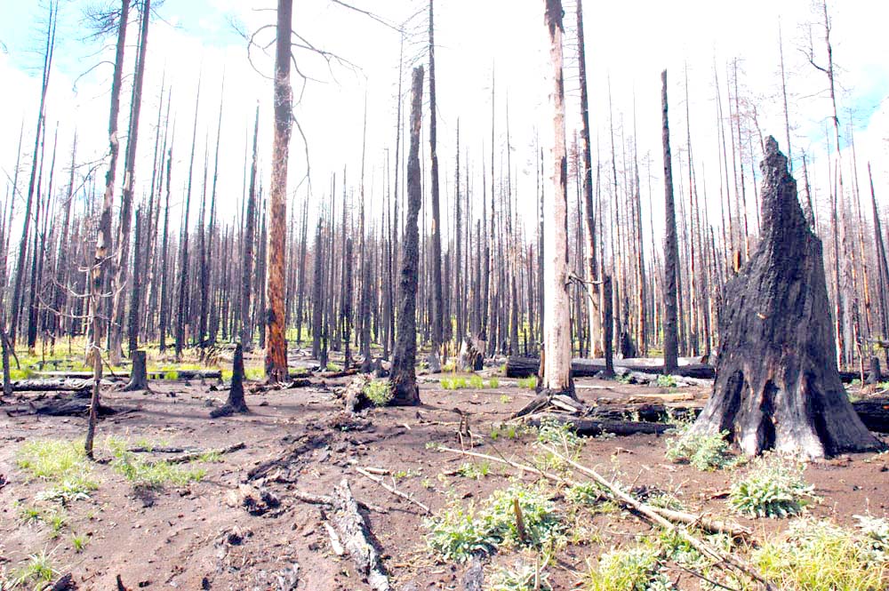
Round Lake: Wildfire severity versus intensity, reburns, and suppression costs
The third tour stop was on the western shore of Round Lake. The group arrived by way of the First Creek subbasin. Photographs of Round Lake snags and surviving trees below are representative of a "stand replacement event"; a characterization applicable to most of the First Creek subbasin affected by the B&B Complex Fires.
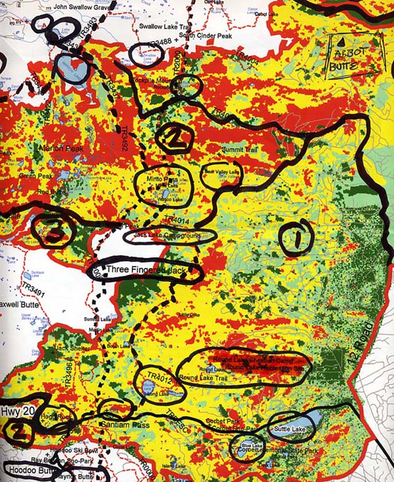
Discussion at the Round Lake stop centered on defintions of fire severity and fire intensity, with compartisons to historical maps and current Forest Service BAER severity and BARC intensity maps as illustrations. Tree species migration into grassland environments was also a topic of discussion.
The Round Lake photographs were all taken on September 15, 2004 by Brett Morrissette, with one exception. The Bottom Center photograph was taken four months earlier, on May 15, 2004, as part of a 360° panoramic photo series (West_Shore_360) for the Round Lake webpage.
Tour Photographs
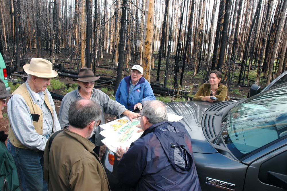
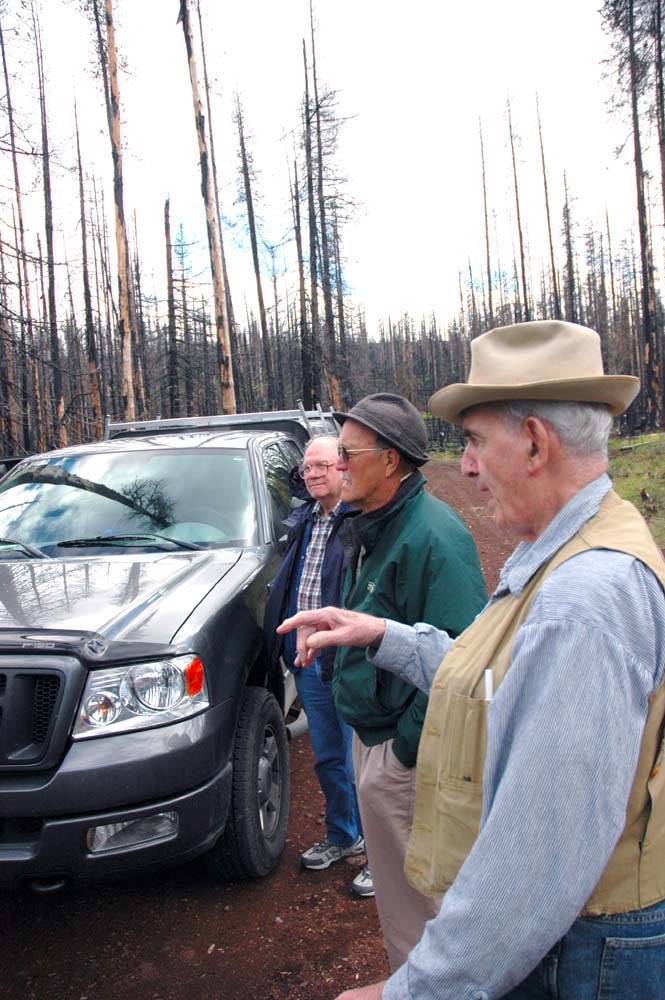
The following photographs were taken by Brett Morrissette, a soil science technician with the PNW Research Station and the driver of the tour van. They were taken at the Round Lake tour stop.
 |
|
 |
 |
 |
 |
 |
 |
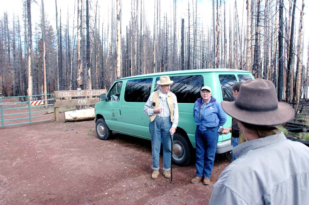 |
Top Left--Clockwise, from foreground: Cromack, Peterson, Stout, Hagenstein, Zybach, Giesy, and Lapham inspect historical maps and compare with BAER maps and with Round Lake to the east. Left Center--Native grasses and killed saplings on west shore. Bottom Left--Old-growth stump dwarves invasive younger trees; now all are snags and tree seedlings, native grasses, wildflowers, and bracken fern are dominant plants. |
Top Center--View east, showing considerable greening since May 15, 2004 photograph, Below Center (below). Center--Hagenstein discusses views on forest management, catastrophic event management, and wildlife habitat with Cromack and Stout. Bottom Center--Same general perspective as the Top Center photograph (above), but taken on May 15, 2004, before grasses, wildflowers, and bracken fern had sprouted. |
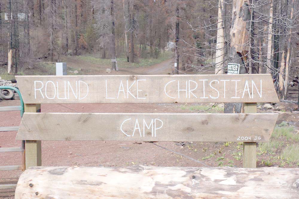
Top Right: Boards, gates, and signs now guard the entry to the Christiam Camp on the west shore of Round Lake. Right Center--Two ages classes of young trees are being replaced with a new carpet of ferns, grasses, and flowers. Hagenstein and Geisy discuss Wilderness management policies while Lapham and Zybach record their observations.
|
Santiam Lodge: Preserving the Past for Future Generations
The tour concluded with a brief stop at the remains of Santiam Lodge, adjacent to Highway 20, southeast of Hogg Rock. The structure is on the National Register of Historic Places, but has been vacated and boarded up for many years. The B&B Complex Fires occurred within dozens of yards of the highly flammable wooden Lodge on all sides, yet somehow avoided setting it on fire. At this time the Lodge appears to be in danger of being destroyed through fire, vandalism, or pervasive rot.
![]()
Participants on the tour included hosts Bob Zybach (ORWW Program Manager and Oregon State University (OSU) forest scientist) and Nana Lapham (ORWW Assistant Program Manager and OSU Forest Sciences student), Wayne Giesy (ORWW Board Member and former State of Oregon legislator), Bi11 Hagenstein (President of W. D. Hagenstein and Associates, former Executive Director of the Industrial Forestry Association, Inc., and current Board Member of IFA Nurseries.), Benjamin Stout (former Dean of Montana State University Department of Forestry, former Director of the Rocky Mountain Forest and Range Experiment Station, and retired National Council for Air and Stream Improvement, Inc. (NCASI) forest scientist), Jim Peterson (Founder and Editor of Evergreen Magazine), Kermit Cromack (forest scientist and professor, OSU Forest Sciences Department), Mike McMurray (President, Mike McMurray's Forestry Photography), and Brett Morrissette (soil science technician, PNW Research Station).
![]()
©2004 Oregon Websites and Watersheds Project, Inc. and NW Maps Co.