2020 SWOCC F251 Elliott State Forest "Virtual" Roads & Trails Report
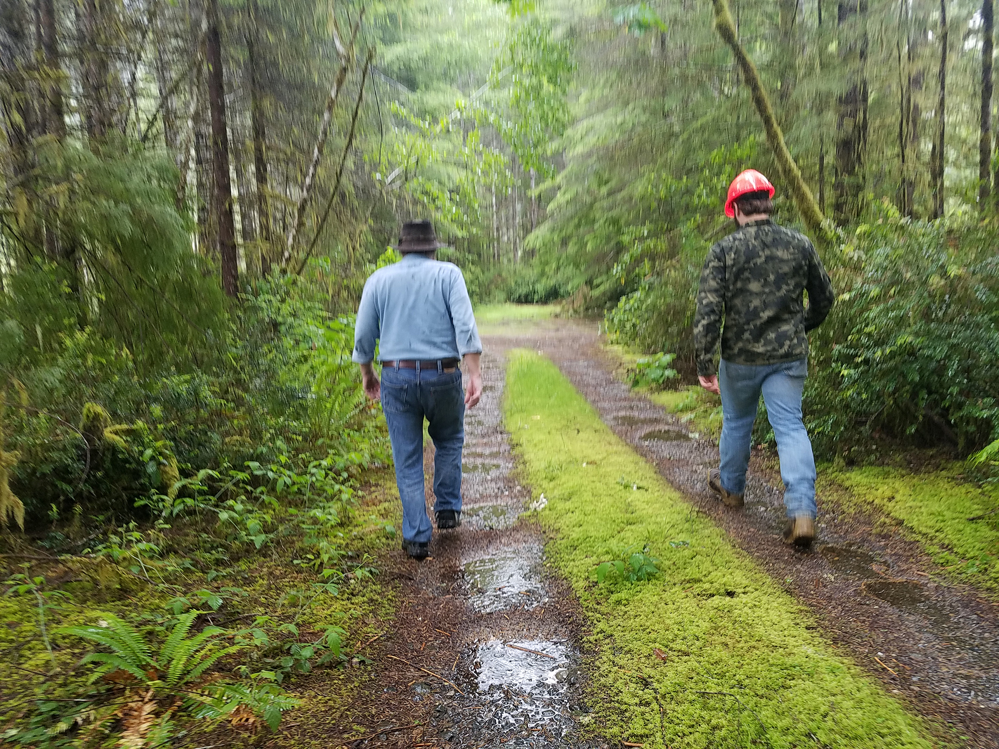
SWOCC F251 student Sebastian Bartlett and Dr. Bob Zybach hike toward Mill Creek along Indian Point Road on the Elliott State Forest, May 21, 2019. Photo by Hunter Black-Priest, SWOCC F251.
Elliott State Forest Recreation Homepage: http://www.ORWW.org/Elliott_Forest/Recreation/
ORWW/SWOCC 2020 F251 Elliott Roads & Trails "Distance Learning" Workshops: http://www.ORWW.org/Elliott_Forest/Recreation/2020_Roads
ORWW/SWOCC Elliott State Forest "Virtual" Field Trips: https://www.youtube.com/playlist?list=PL1JyKCHg2GmHjLtQzXXDks4Rb-LE9HoJ-
Citation: Quinn Allen, Kevin Ballard, Ethan Howard, Evan Johnson and Regan Lavoie. 2020 SWOCC F251 Elliot State Forest "Virtual" Roads and Trails Report. Oregon Websites & Watersheds Project, Inc., Philomath, Oregon: 35 pp. [PDF: 7 MB].
Acknowledgements: This report could not have been completed without the assistance and guidance of several knowledgeable individuals and their organizations for videotaped presentations and field trips, historical documentation, project funding and personal consultations: Jerry Phillips (ret.), Elliott State Forest Manager; David Gould (ret.), Coos Bay Timber Operators, Inc.; Bob Zybach, Oregon Websites & Watersheds Project, Inc. (ORWW); McKenzie Peters, NW Maps Co., and Nancy Stewart, Scholfield Valley Wood Producs, Inc. We are also deeply indebted to the Southwestern Oregon Community College (SWOCC) student authors of the 2018 Elliott Draft Recreation Plan and the 2019 Elliott Draft Recreation Plan for the initial creation and testing of the educational field trips and for final draft plan formatting and content.
ORWW Mission Statement: Oregon Websites & Watersheds Project, Inc. (ORWW) is a 501 c(3) Oregon nonprofit organization and educational website founded in 1996 to help provide quality environmental science and computer-based education for Oregon schools and communities. The primary mission of ORWW is "to instruct Oregon students, teachers, and residents in the uses of Internet communications, historical documentation, scientific reasoning, community consensus building, environmental enhancement projects, and long-term monitoring strategies for the purpose of making decisions regarding the management of local natural and cultural resources."
Introduction. "Distance Learning" and Elliott State Forest Recreation. By Dr. Bob Zybach |
|
Part 1. The Indian Trail from Allegany to Scottsburg, and Gathering Locations Within, 1826-1900. By Quinn Allen, Evan Johnson and Kevin Ballard |
|
Part 2. Pre-Elliott County Roads and Logging Roads, 1900-1930. By Kevin Ballard, Ethan Howard and Regan Lavoie |
|
| Part 3. Deans Mountain and CCC Roads, 1930-1962.
By Evan Johnson, Regan Lavoie and Quinn Allen |
|
Part 4. Columbus Day Storm Salvage Logging Roads, 1962-1970. By Regan Lavoie, Quinn Allen and Ethan Howard
|
|
Part 5. Cougar Mountain Lookout and Modern Logging Roads, 1970-2020. By Ethan Howard, Kevin Ballard and Evan Johnson |
|
| Maps. | |
| Figures. | |
| References. |
![]()
© 2021 Oregon Websites & Watersheds Project, Inc. & NW Maps Co.